
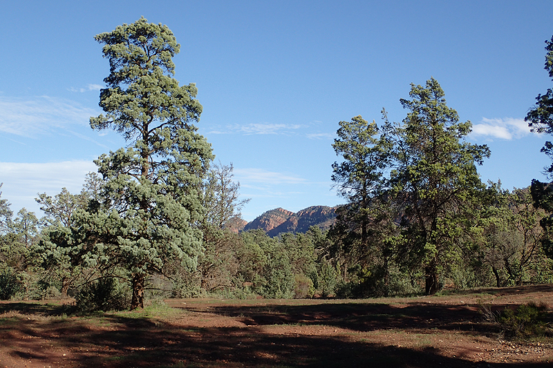
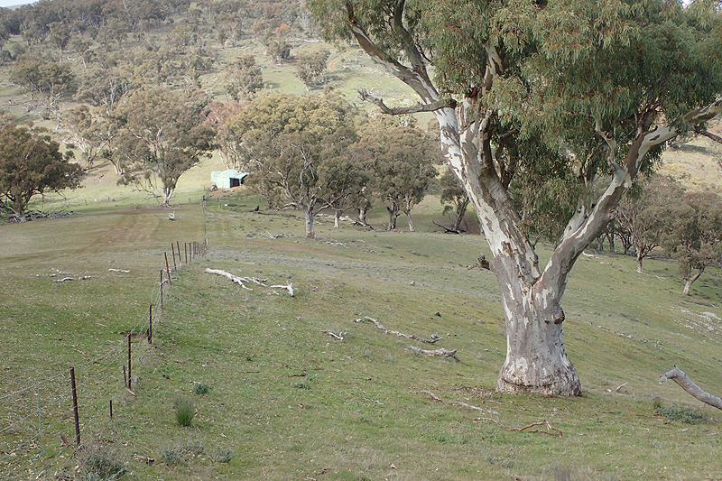
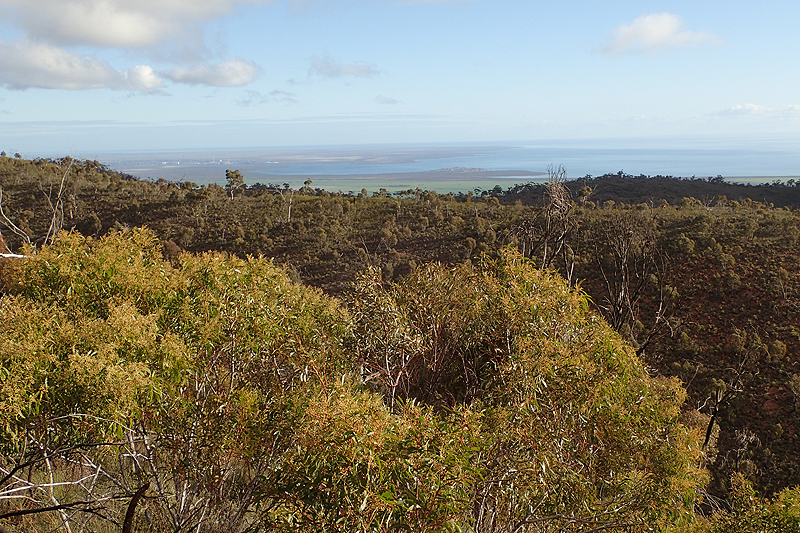
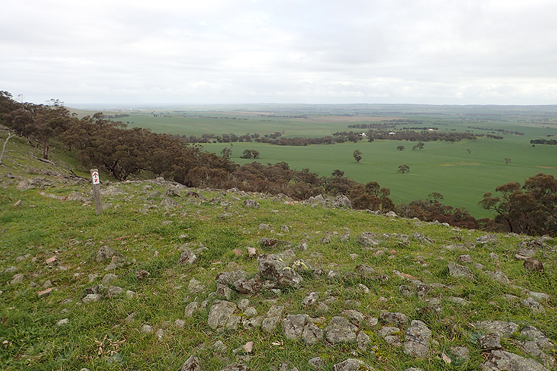
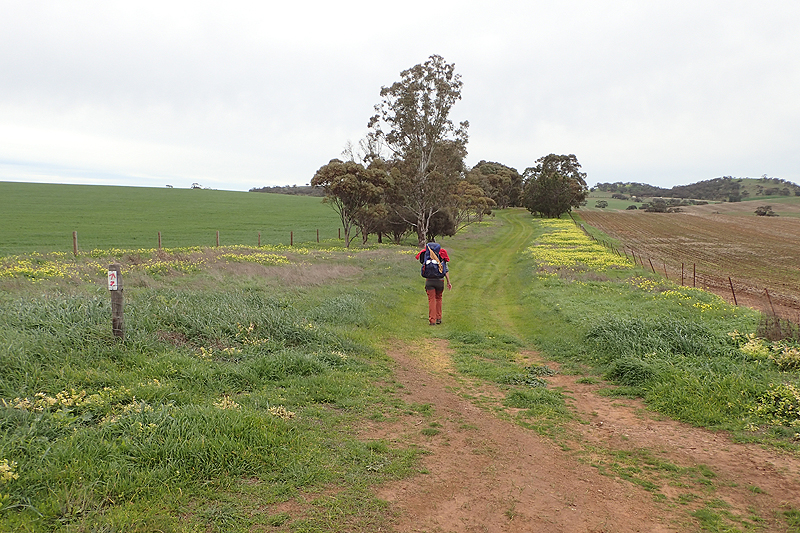
From the Heysen Trail website: "The 1,200 kilometre long hiking Heysen Trail passes through some of South Australia’s most diverse and breathtaking landscapes, traversing coastal areas, native bushland, rugged gorges, pine forests and vineyards, as well as rich farmland and historic towns".
The Trail passes through some of the most scenic parts of the state including national parks, state forests and internationally acclaimed tourist destinations, including the Barossa Valley and the stunning Wilpena Pound.
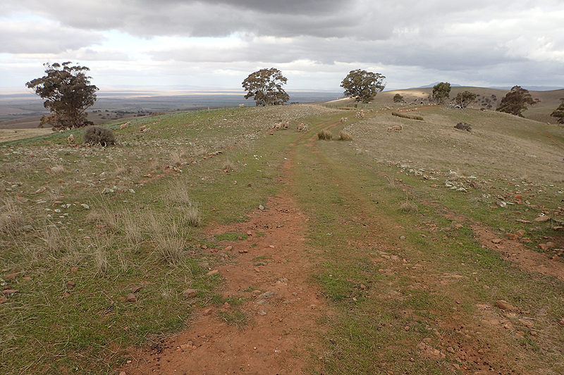
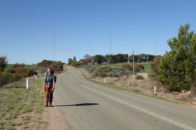
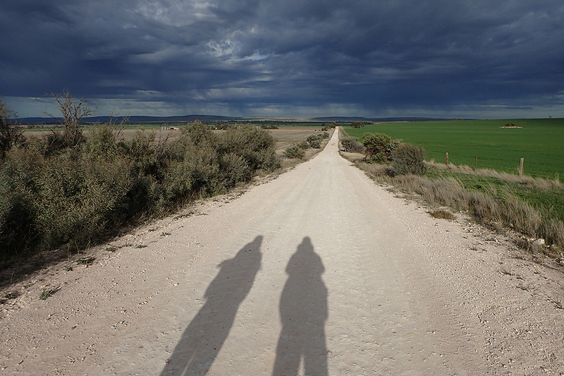
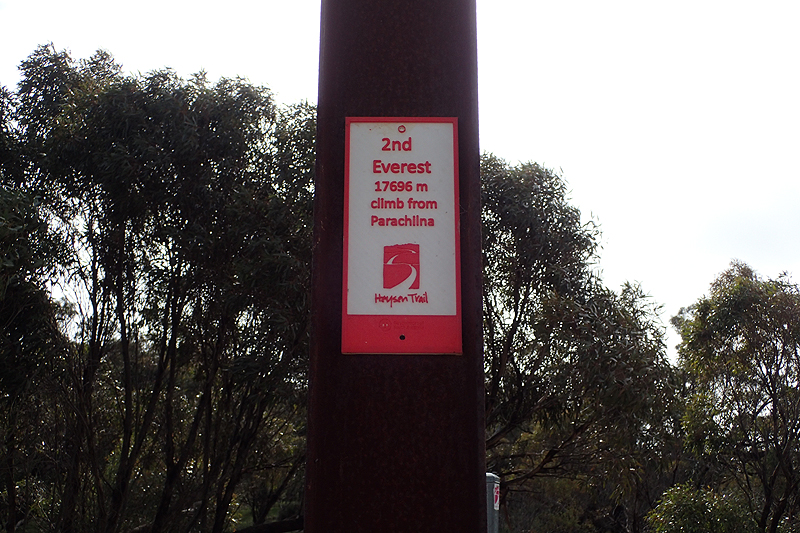
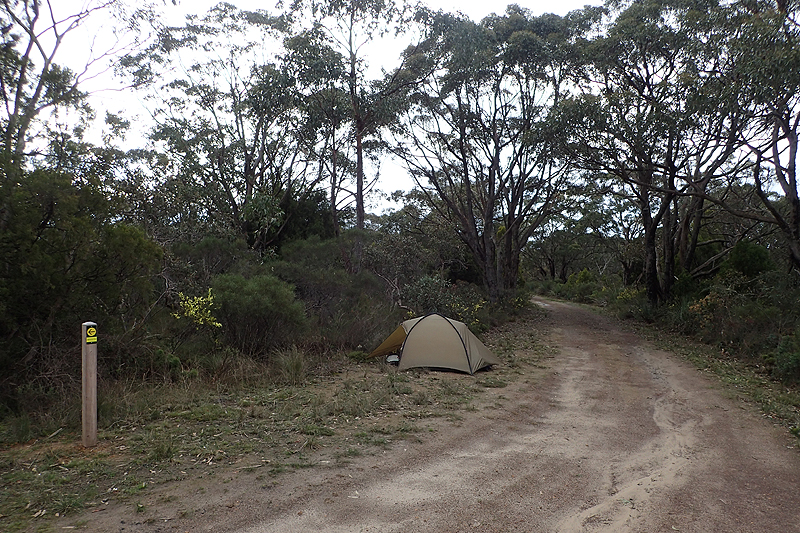
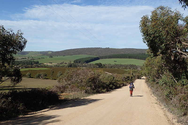
Total distance walked: 1133 km (measured off highly filtered gpx data from Heysen Trail website; actual distance is likely 5% longer!
Walking Days: 56 - Ranging between 4.1 km and 27.5 km
Non-Walking Days: 3
Number of Nights in Pubs, Hotels, B&Bs, Railway Carriages, etc.: Zero (it's not a pub crawl after all)
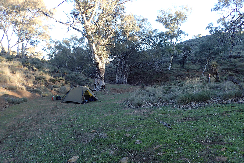
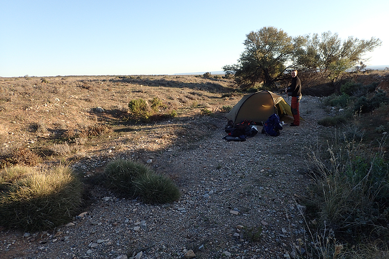
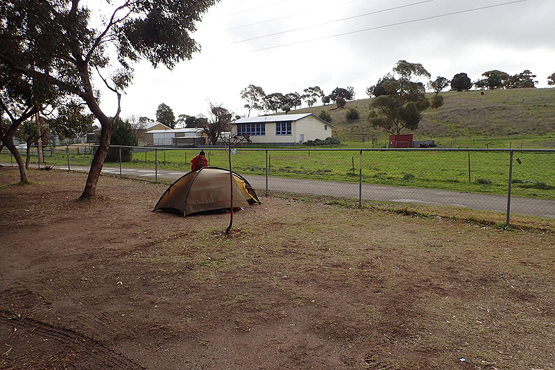
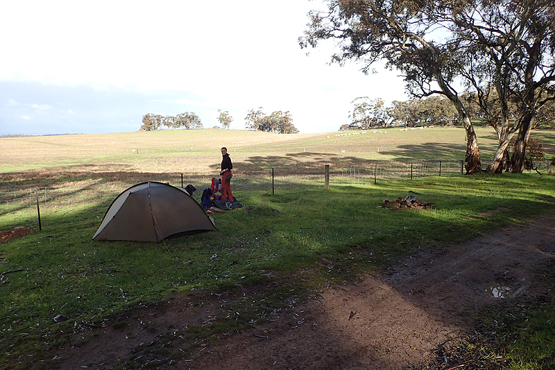
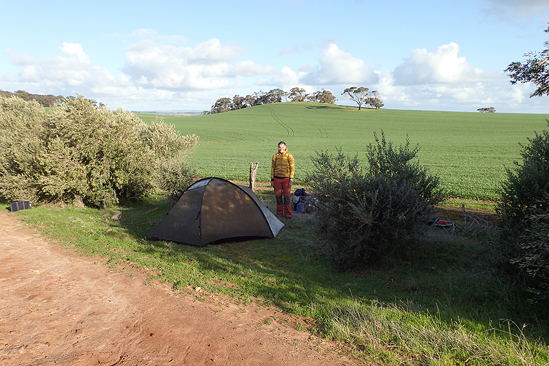
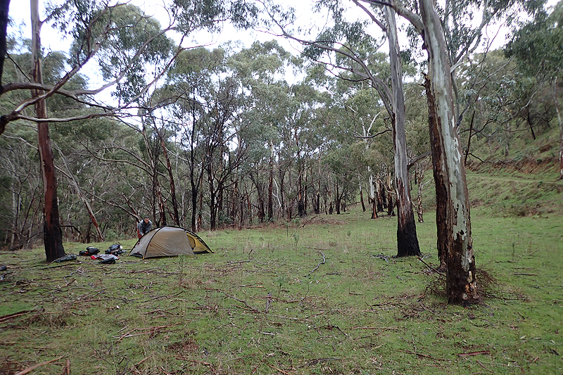
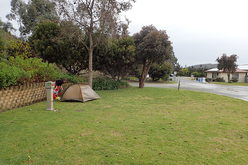
Number of Nights in our tent: Every night.
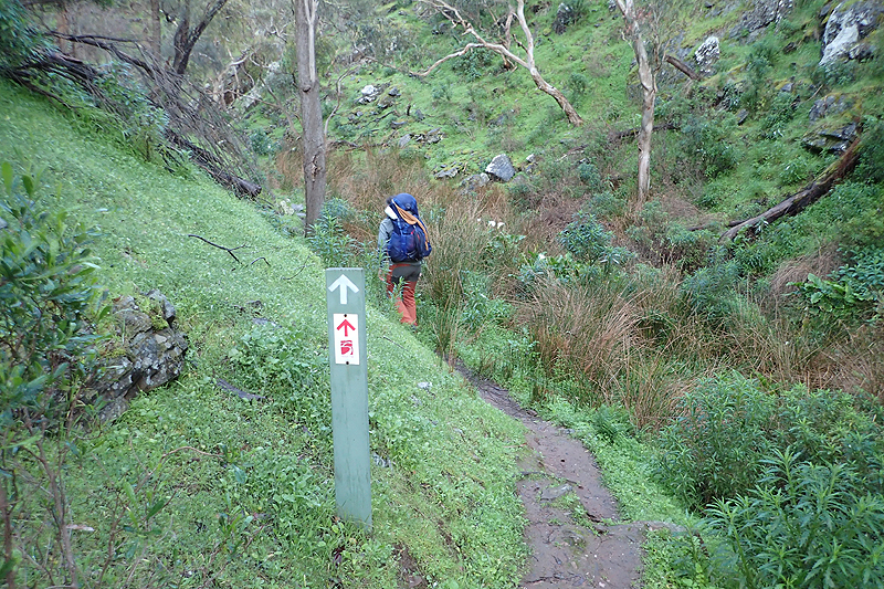
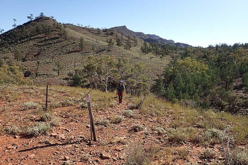
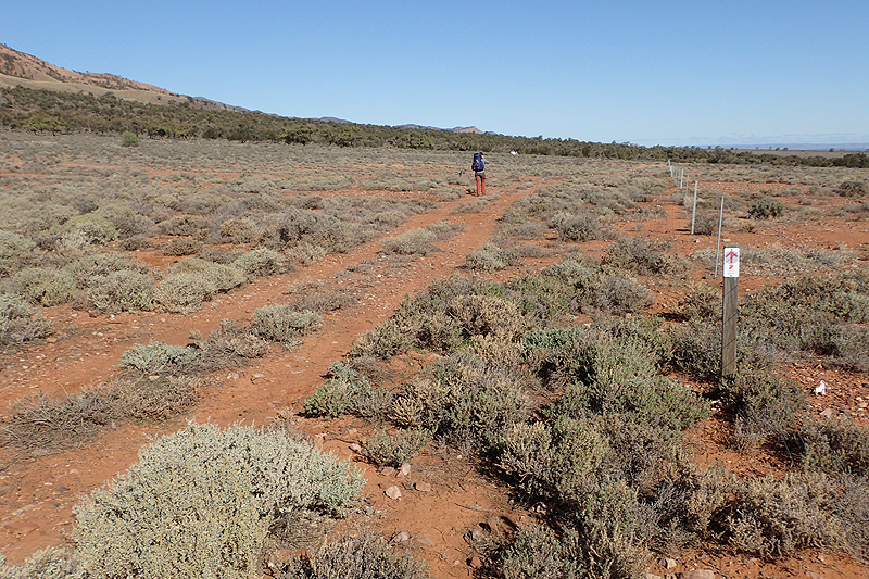
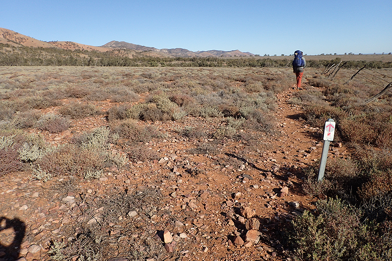
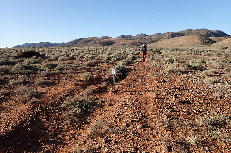
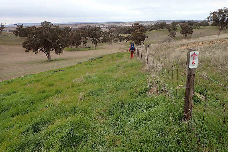
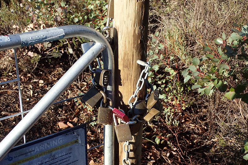
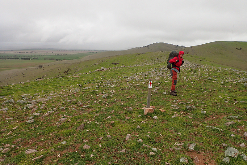
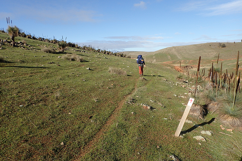
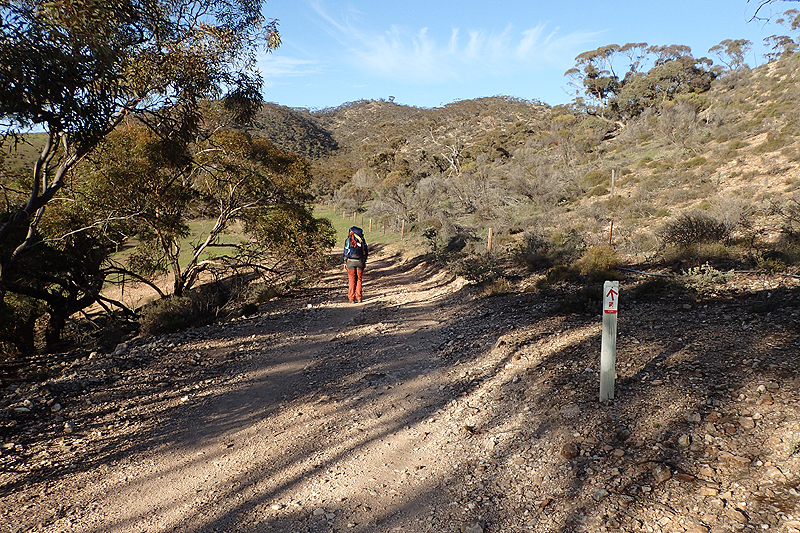
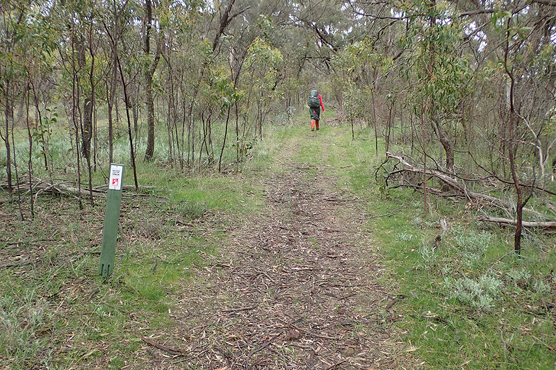
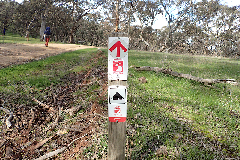
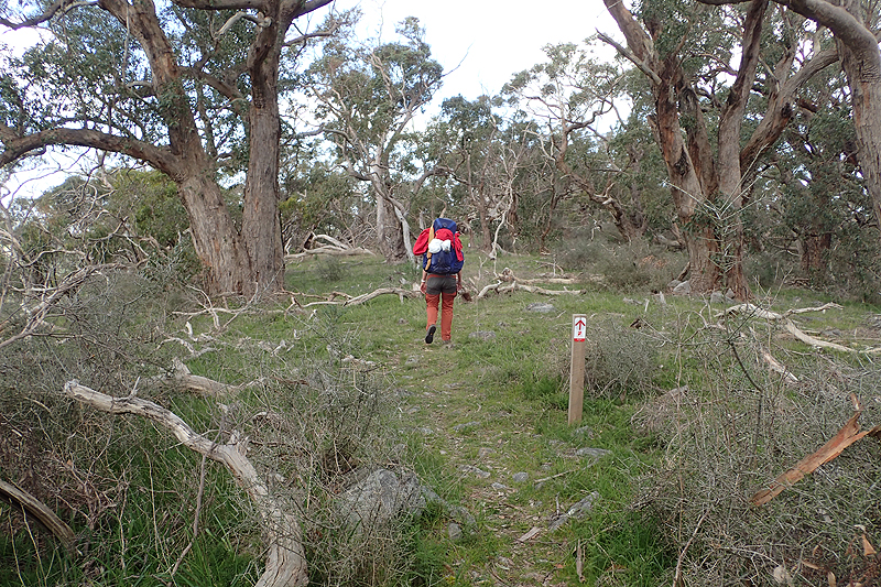
Trail signs in order of preference:
(1) Follow the Track
(2) Follow the Creek
(3) Follow the Road
(4) Follow the Fence
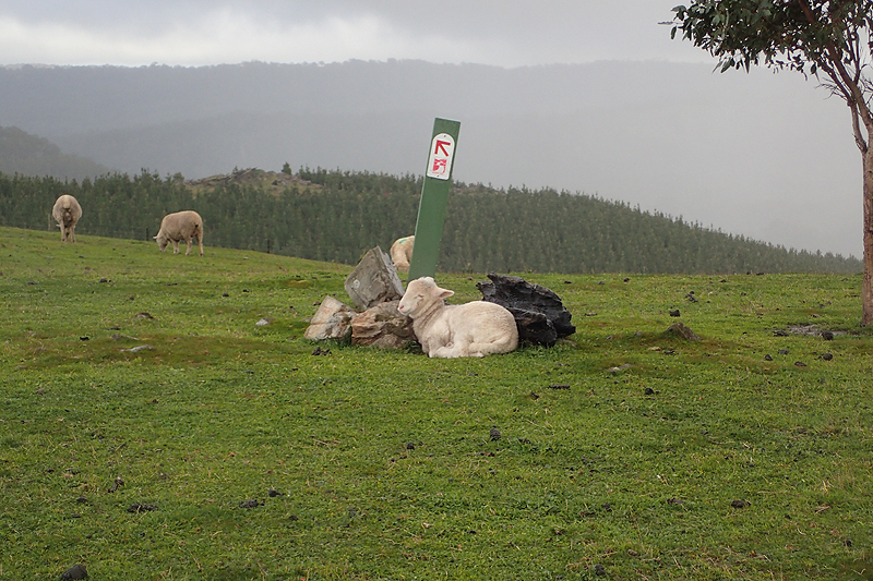
Suggested best preference sign: Follow the Sheep
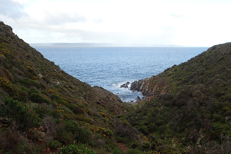
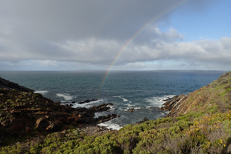
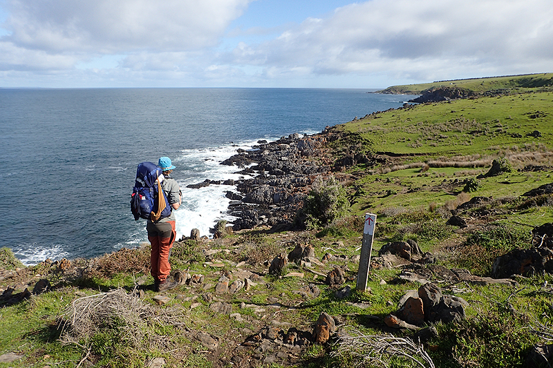
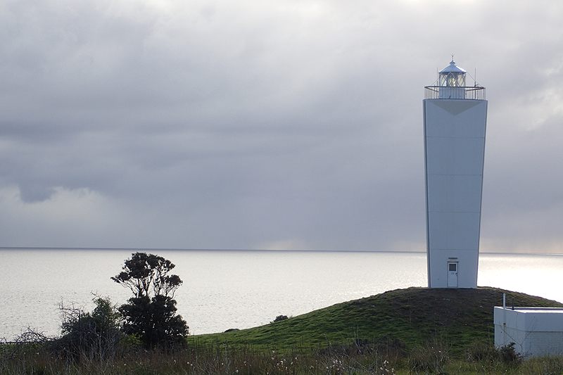
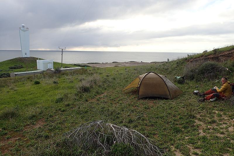
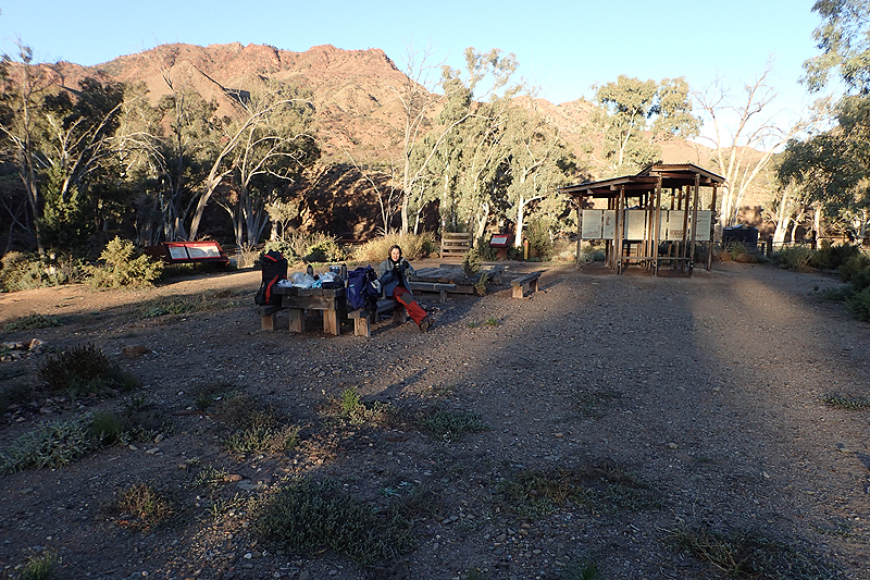
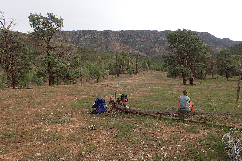
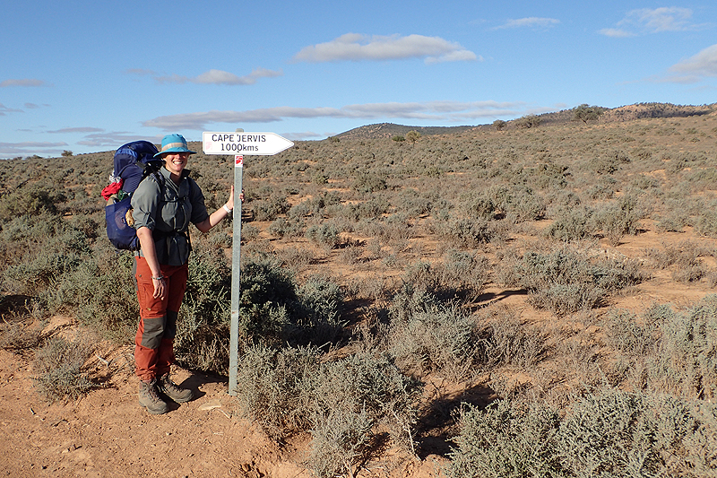
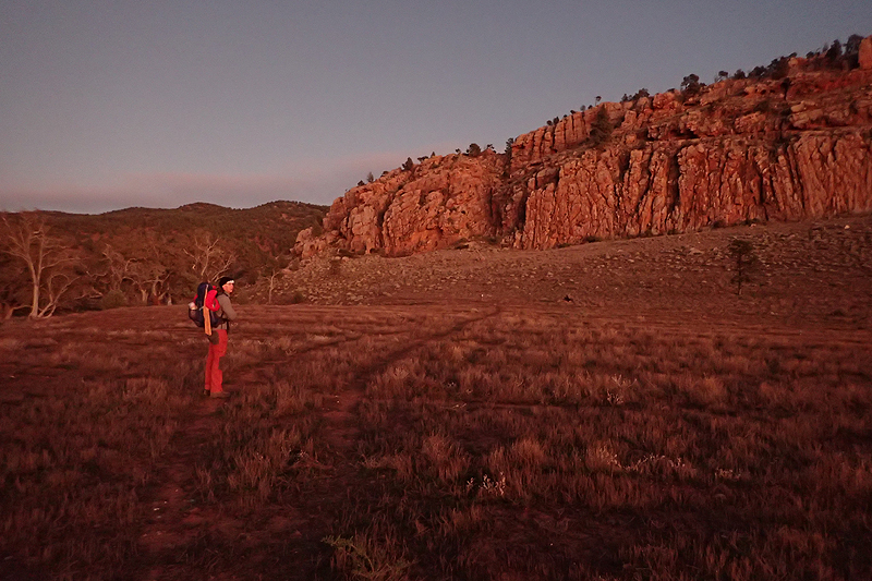
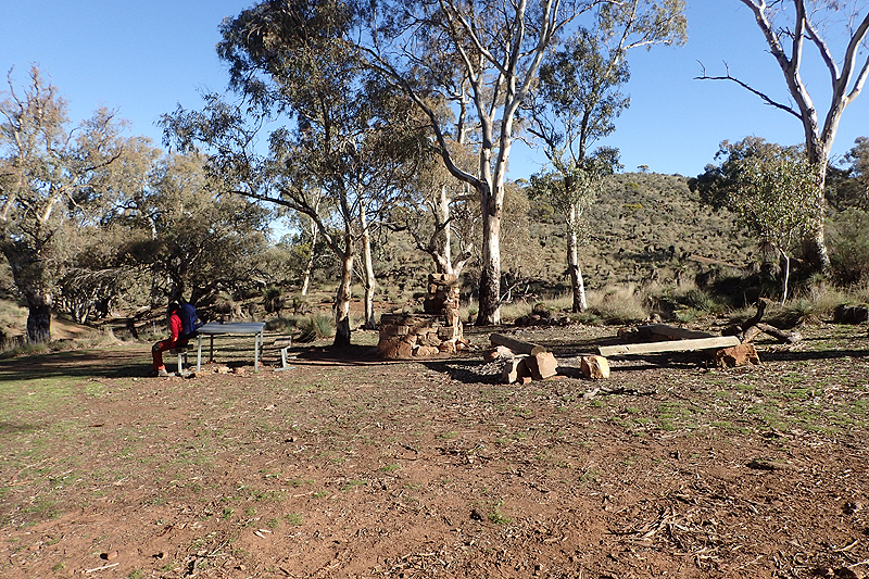
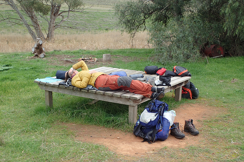
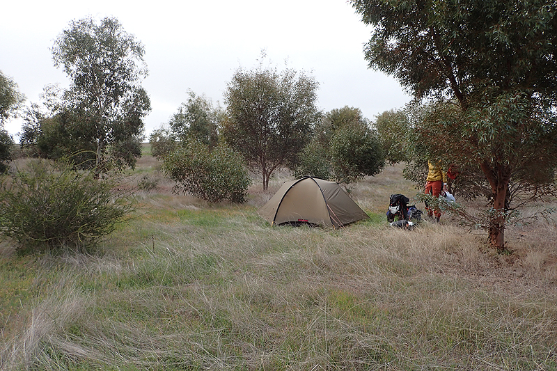
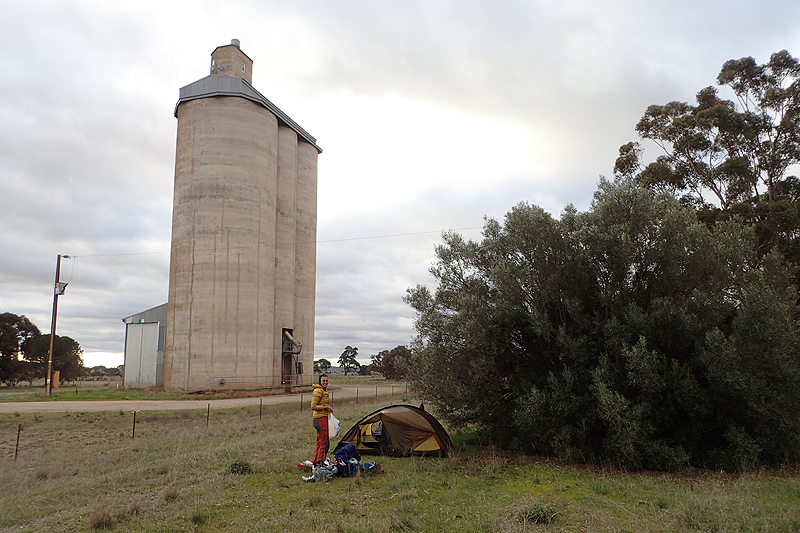
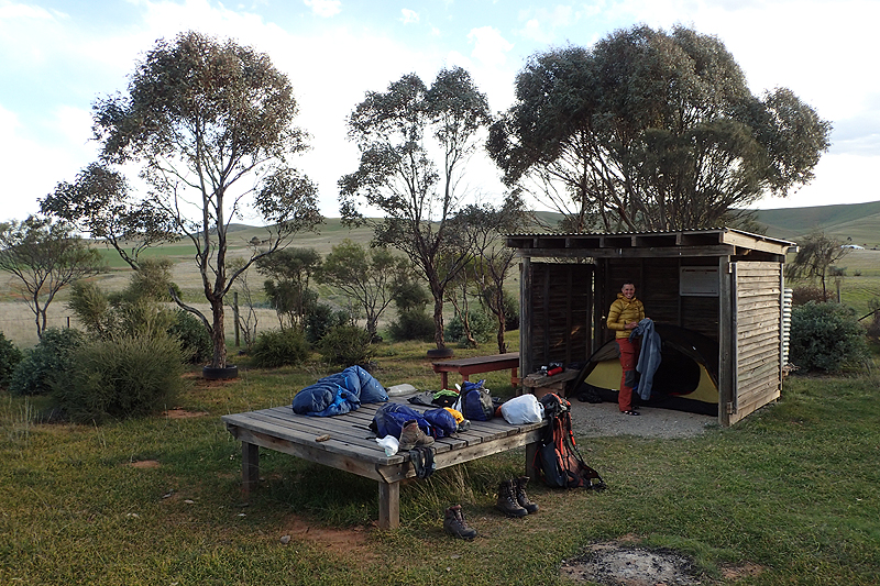
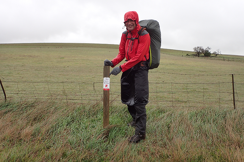
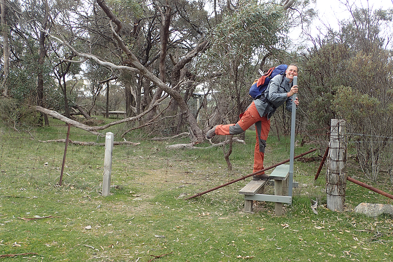
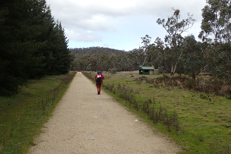
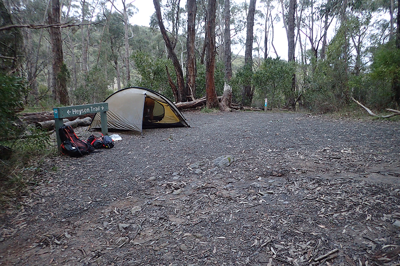
Most memorable campsite: At the Cape Jervis Trail Head, on the ledge over-looking the lighthouse!
Gear Failures:
Both sleeping mats (Nemo (unsurprisingly) and Thermarest).
Tent outer zip slider (from the dust, but easily replaceable)
Best gear item: Our Hanwag hiking boots, and the Hilleberg Rogen tent
Favourite food discovery: Small tins of chilly chicken, and dark fruit cake
New personal care item: Lanolin cream
Interesting noises: Singing fence posts, prowling nocturnal Koalas
Domestic airline to avoid: Virgin Australia
Here follows our trip notes:
Got to love (or hate?) domestic air travel. Our Virgin Australia flight was scheduled for 14:20. We hopped on a bus to take us to the Elizabeth Quay busport around 11:00. This was obviously early but we had nothing left to do at home. As our bus arrived at the busport where we would take the 380 airport bus, the text message arrived, "Your flight today has been cancelled and you have been booked onto the 07:20 flight tomorrow". Tossers. We got off the bus in a bit of a slump and sat on a bench. What to do? We had to get to Adelaide today as we were booked onto the bus to Parachilna tomorrow morning which only runs weekly. Mike checked for other Virgin flights from Perth to Adelaide today and there was one for 13:20. As we boarded the airport bus he rang Virgin (only thing they got right was the call answer time) and got us onto that flight which would first fly us to MELBOURNE and then onwards (which is actually "backwards") to Adelaide, turning what was a two and a half hour direct flight into a nearly 5 hour trip. We had no choice and accepted the new booking. This flight now left an hour earlier and so it was a good thing we had left home when we did. Call it a premonition! Mike checked us both in to both flights and downloaded boarding passes. We only had his phone for day-to day internet stuff and a trusted Nomu phone for GPS and route maps for the hike. We arrived in good time for check-in then ended up waiting til 14:20 anyway as the flight left an hour late. We ended up checking in to our hotel in Adelaide at 22:30. Let's just say we wished we had remained "virgins" where Virgin Airlines was concerned - Bunch of incompetents!
These things have a flow on effect. We had planned to buy white gas/Coleman fuel for our camping stove at Bunnings at Adelaide airport which would now be closed and as our bus was leaving before 07:00 tomorrow morning, we had no chance of buying any. This would mean buying petrol as fuel for our stove in Adelaide tonight. We have always used MSR liquid fuel stoves and although we prefer white gas/Shellite, we almost always use petrol due to convenience and price. For this trip we decided to purchase a Primus Omnilite stove as it is extremely light-weight and we thought it would be worth trying out on a hike. It is a bonus that it is Swedish. We had tried it out using white gas at home and it worked perfectly. As a fuel it is kinder on the stove and a nice way to start for the first use. Anyway, the stove would have to get with the program. We ended up in bed before midnight, feeling a little dazed.
We grabbed a breakfast to go at the hotel (Holiday Inn Express) and set off around 06:30 for the short walk to the Central Bus station where our Genesis Transport bus would collect us. It was a small bus and ended up quite full. Mainly a group of people going up to Beltana Homestead (north of Parachilna) for camel trekking. The first stop the bus made was to pick up three of the camel trekkers at a hotel almost across the road from ours! Funny that, how some travellers are told one thing i.e. to meet at the bus depot, and others another thing! Anyway, one of the camel trekkers could not be located and our driver looked as if he was ready to leave without her. Eventually it took one of the other two camel trekkers to go up to her room. She finally arrived, loaded down with so much stuff which now could not fit in the luggage trailer and had to be all be dumped up front. She mumbled something about getting ready in the dark. No idea! In the end we could have had a cooked breakfast at our hotel with all the time this wasted.
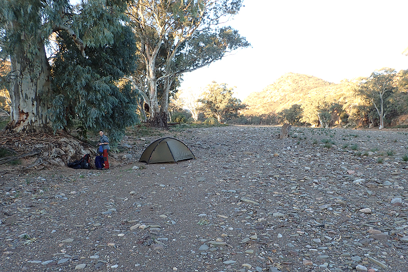
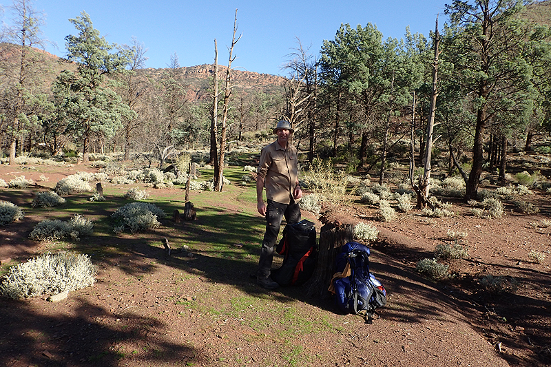
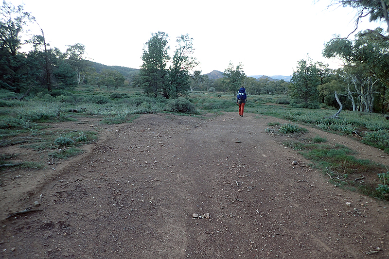
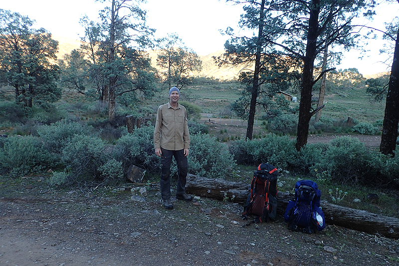
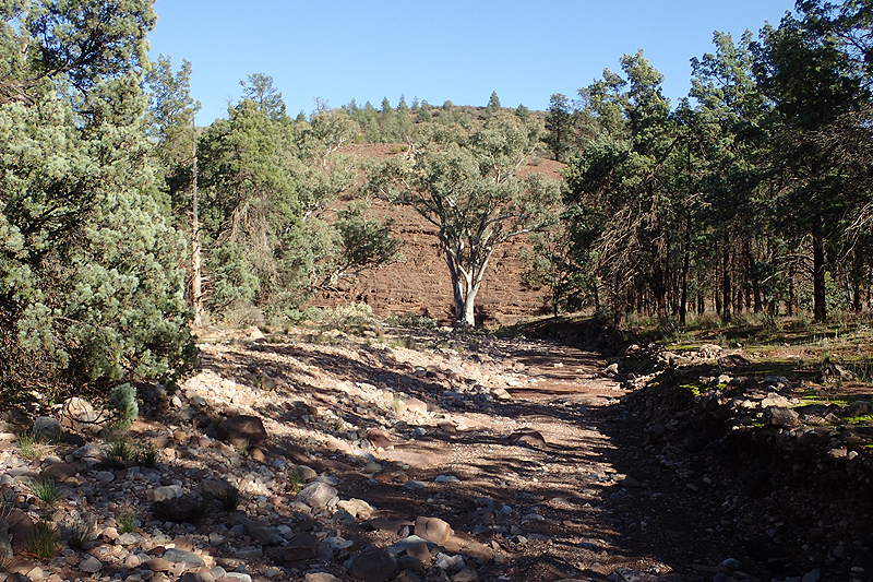
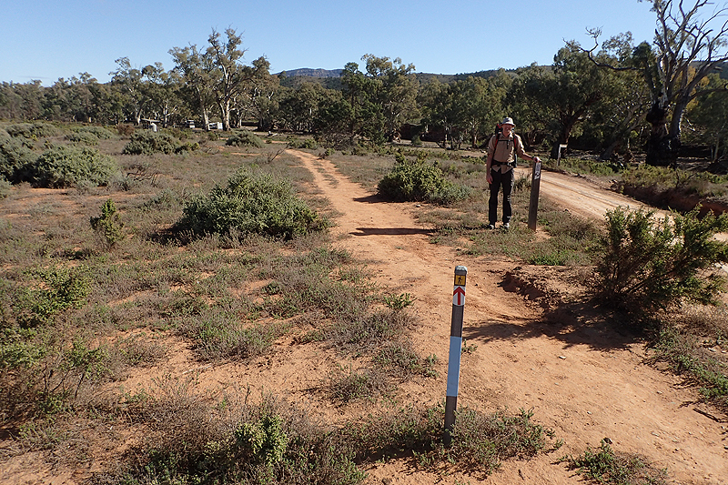
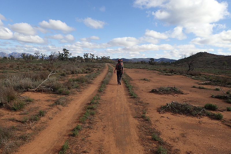
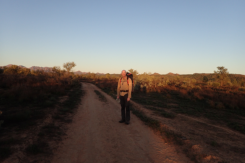
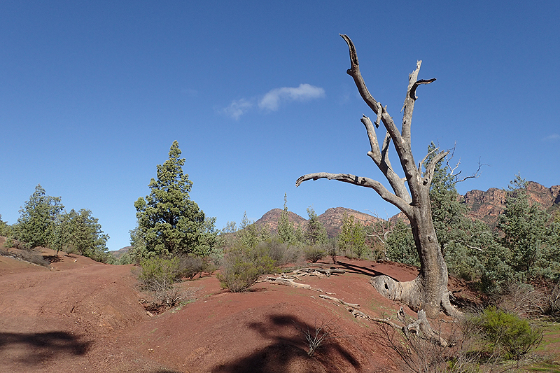
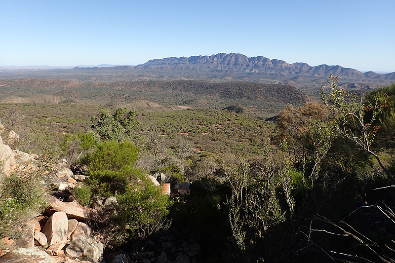
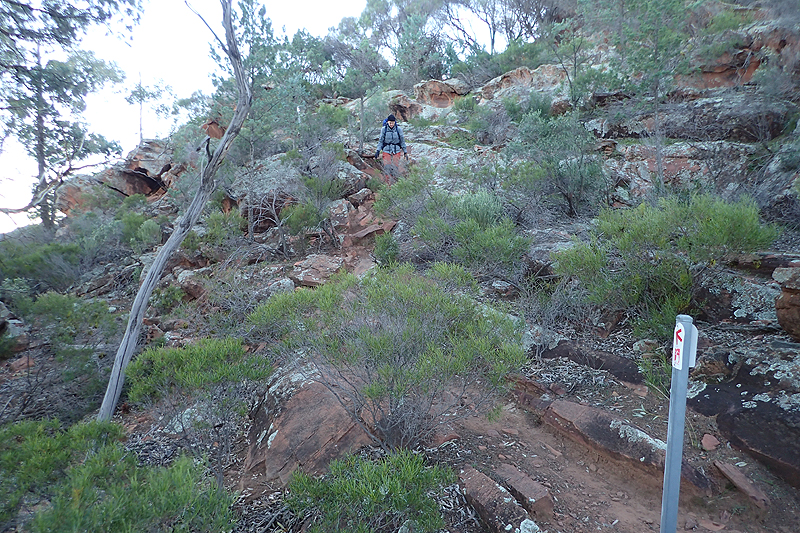
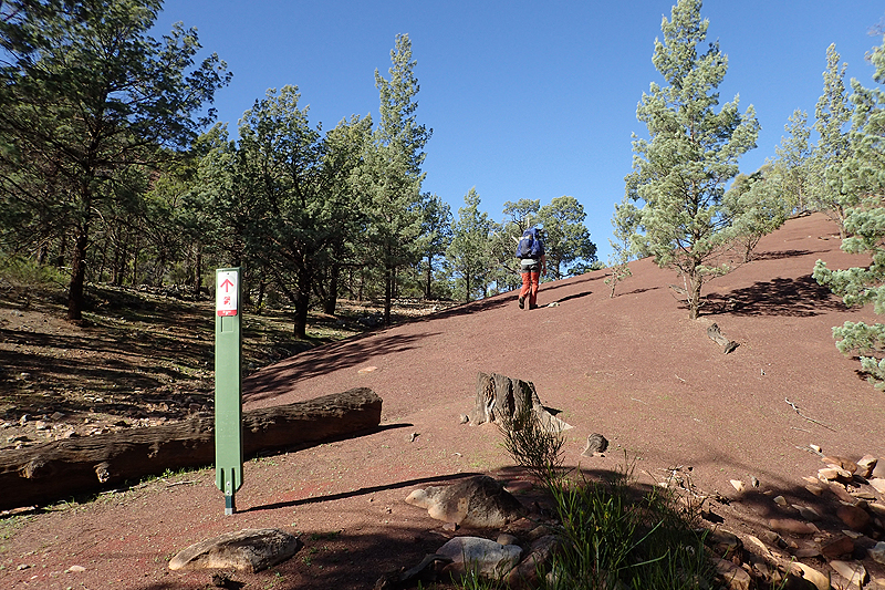
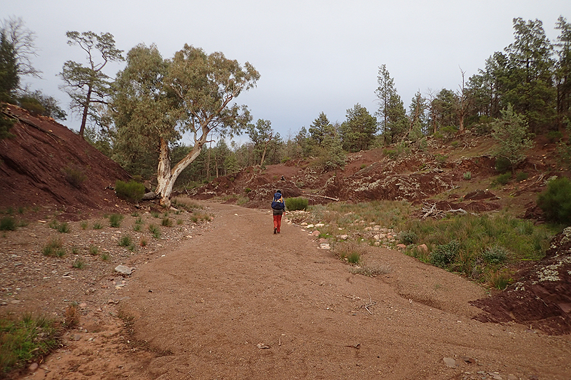
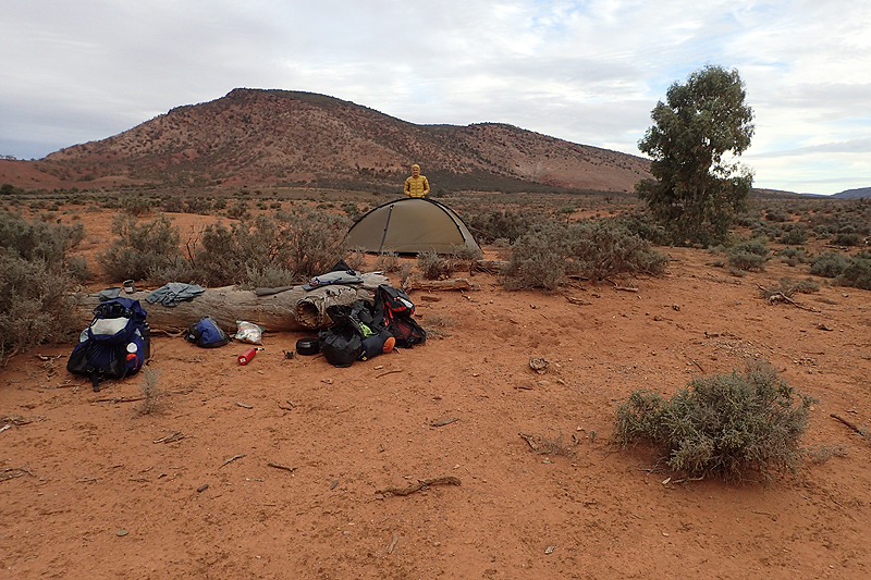
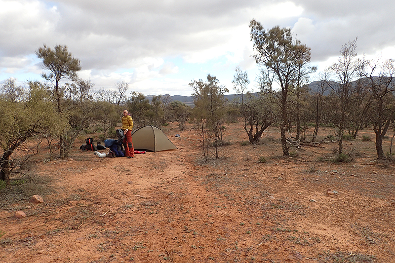
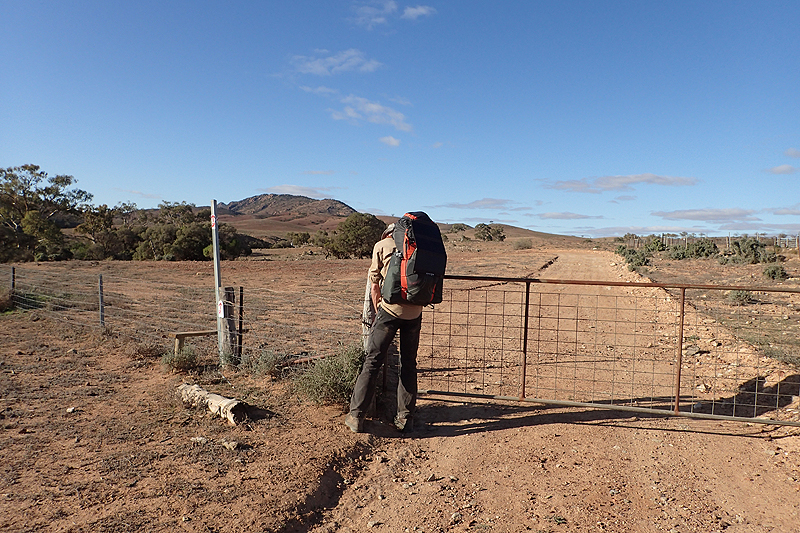
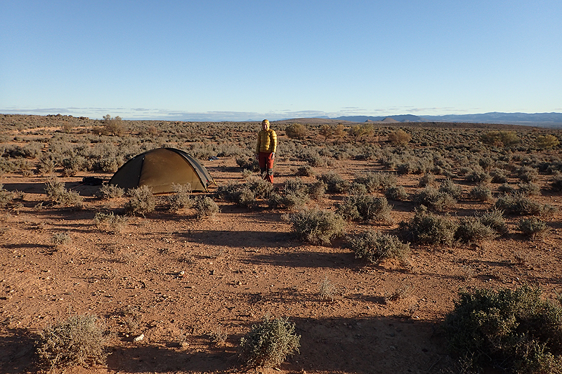
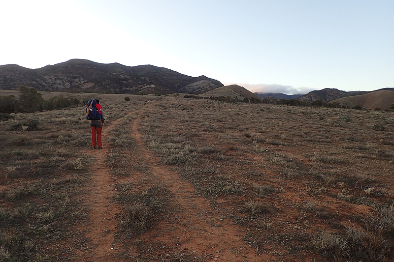
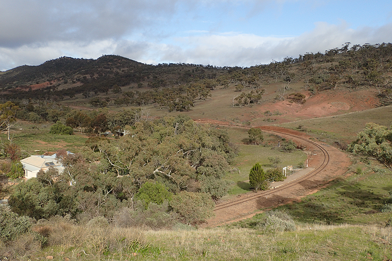
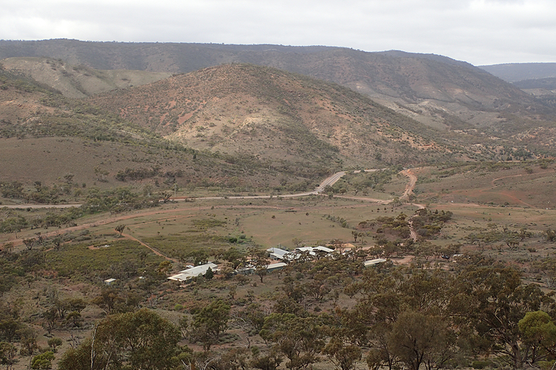
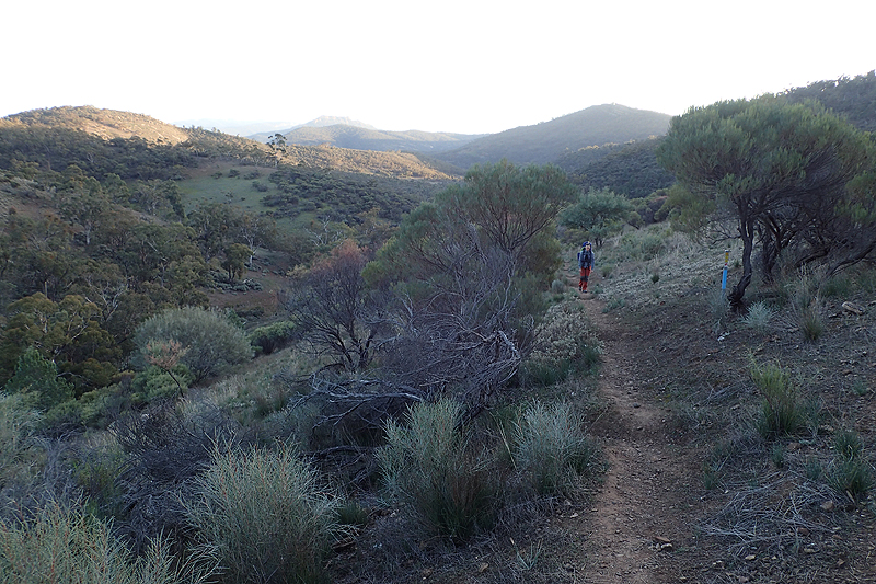
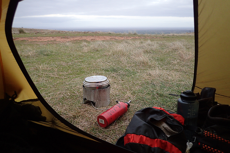
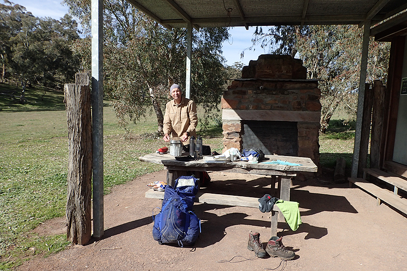
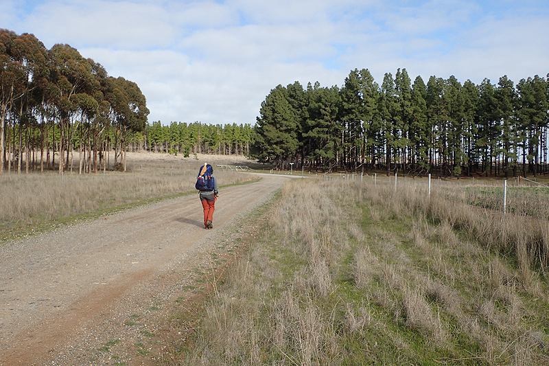
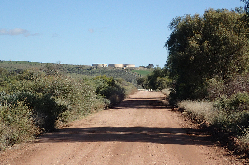
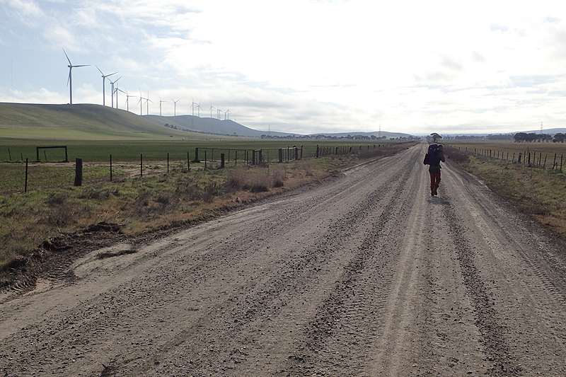
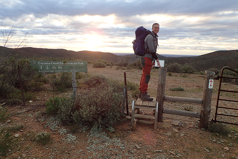
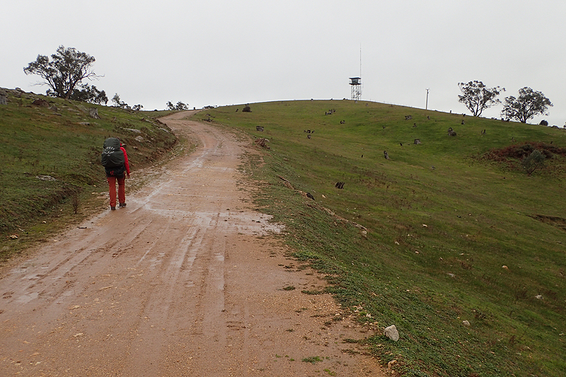
The bus trip was okay, quite long but we made a few stops and it was nice to be reminded of the cycle trip we took last year on the Mawson Trail, stopping in places like Laura and Hawker. The scenery changed quickly from green to brown as we headed north. We picked up Chris in Melrose. He had started the Heysen at Parachilna but as it came hot on the heels of a long distance hike in Arizona and then the Larapinta (both directions) in the NT, he had decided to take a break for now. He was headed back to Parachilna to pick up his car. We had a chat and asked him some questions about the walk. He said something which other thruhikers we would meet would repeat, that he did not like hiking through the farmlands. We arrived at Parachilna by 14:30 and took a few minutes to organise ourselves, giving Chris a head start. Parachilna is a nothing sort of place, has a pub and hotel. There was a nice continuity to being back here and setting off walking along the Parachilna Gorge Rd we had ridden down last year! It was a great little walk along the road with views of the spectacular Flinders Ranges. We spotted a nice place to get into the dry creek bed to camp as the sun was setting. We put up the tent and set about boiling water. Mike lit the stove as usual and pumped it up to get it to pressure, but let's just say it underperformed. It just went pfffftttt, and then it seemed as if the jet had plugged up. It came with a tool to deal with this, with a little metal needle on the end. Bit fiddly, you have to unclip the flame spreader to get to the jet. Mike used the needle to clean out the blockage and tried to light the stove again, but it kept getting blocked. Where was our beloved MSR stove with it's ingenious shaker-jet technology? We have had a few MSR stoves over 25 years of travel and they have all worked flawlessly due to this design. Beyond it's fuel filters, this Primus stove had no plan to deal with fuel impurities it seemed. Anyway, here we were, a little chilly, sitting in a dry riverbed under a starry sky, overlooked by ancient river gum trees. Thinking about how we had 4 days of cold oats and mashed potato to look forward to even to Wilpena Pound, let alone Hawker where we would maybe be able to pick up a new stove if we could order one at Wilpena and have it delivered in time. So disappointing. We tried something new and it had backfired. To bed without any tea. What a couple of days it had been!
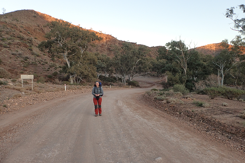
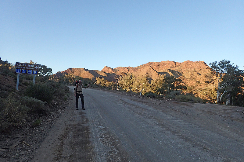
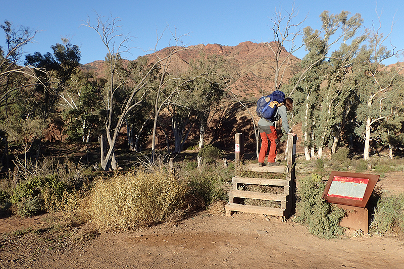
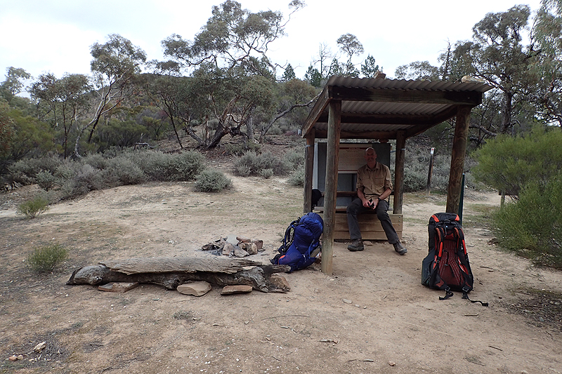
Mike wondered if we should try the stove again in the river bed, I said "No, let's wait for the trailhead". We had about 4km to walk to it. Last night had been such a debacle, it might take Mike the rest of the trip to get rid of the ingrained soot on his hands! We packed up and set off. Beautiful morning, quite warm. We sat down at the bench at the trailhead and got some water from the huge tank. This hike will really be all about going tank to tank! We had stopped off here last year and sat at the same table. We had only then realised that there was a thruhike here and thought you would have to be crazy to walk it. There was a parked car and later two girls pulled up in another car having walked from Wilpena to here. Mike had now given the new stove a full service, flushed out the tube that connects stove to fuel bottle, and we crossed our fingers. Bravo! It worked! A littled begrudgingly but we had hot oats and tea and coffee so we will forgive it. We did not know it then, but the stove operation was just to improve by small increments over the next few days and we ultimately went from "We are going to throw you from great height" to arriving at Cape Jervis 7 weeks later still friends. "You have to know how your equipment works in order to maintain it in the field" is the lesson here for everyone. Or "Thank heavens one of us is an engineer"!
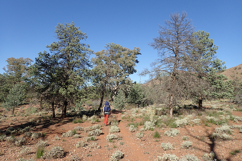
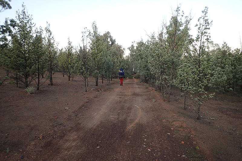
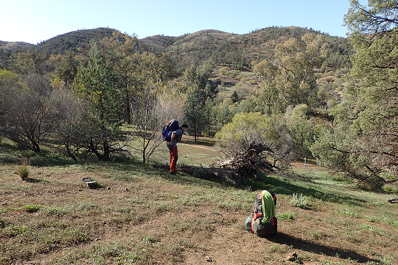
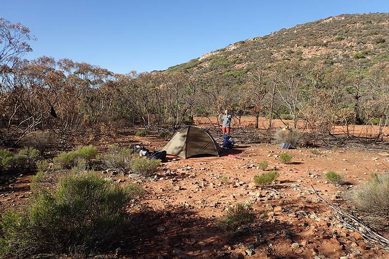
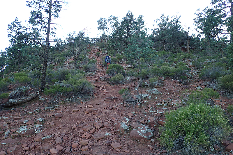
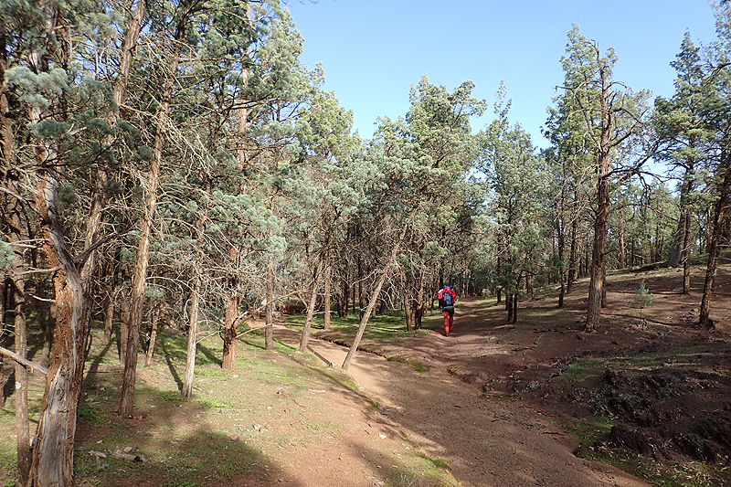
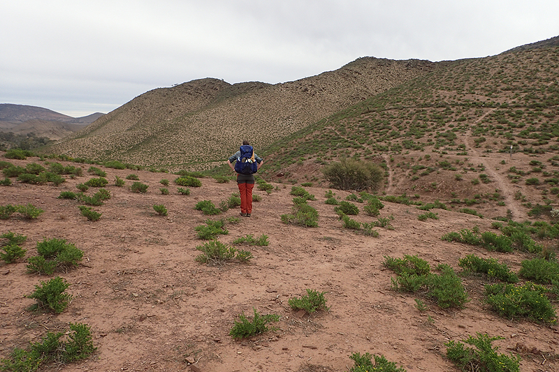
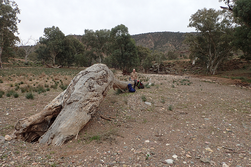
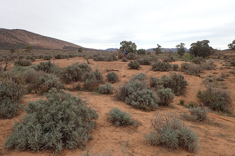
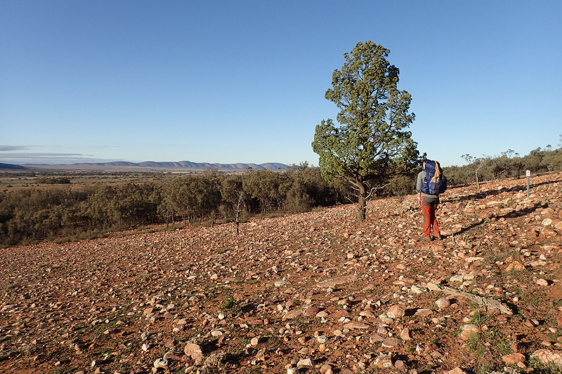
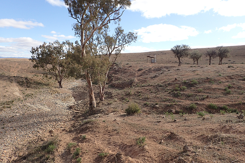
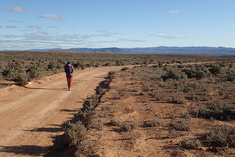
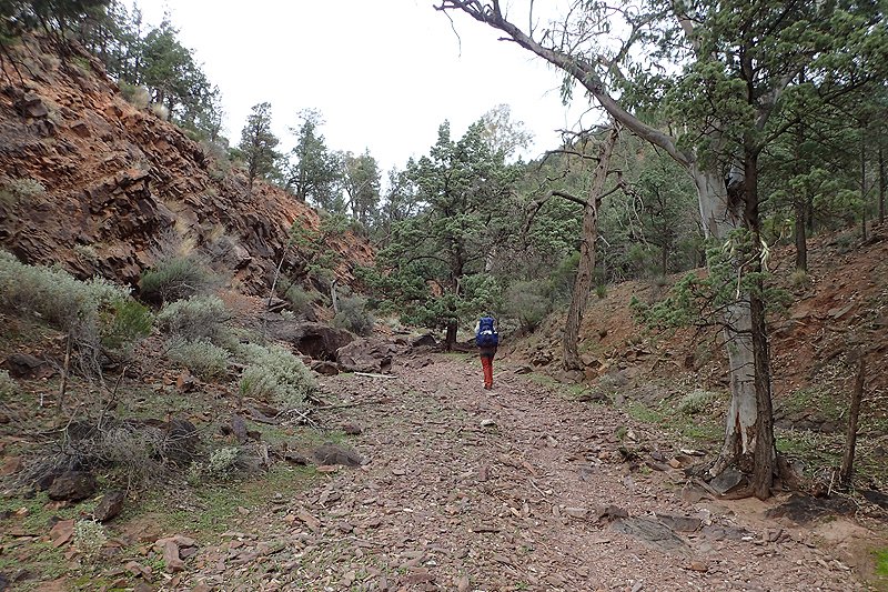
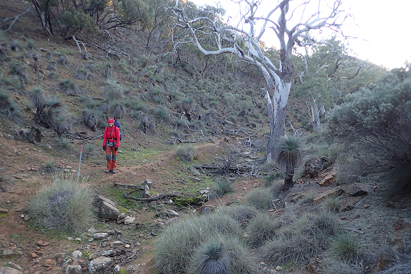
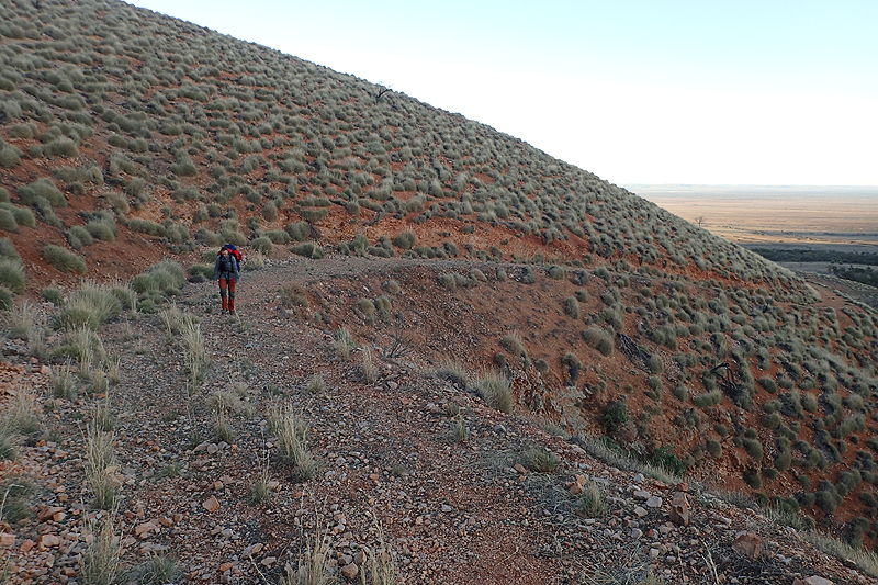
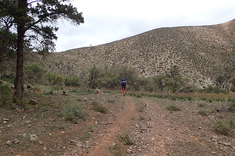
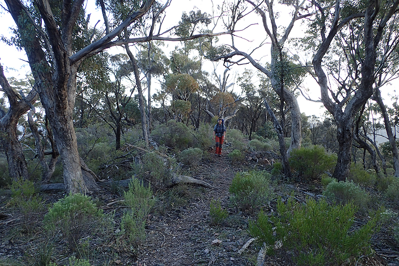
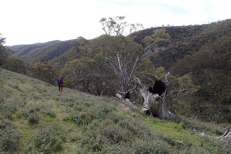
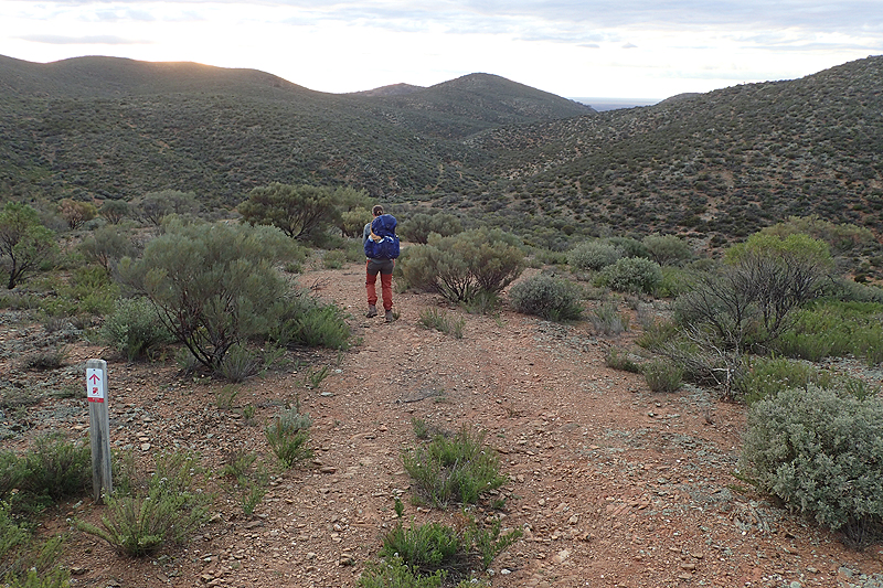
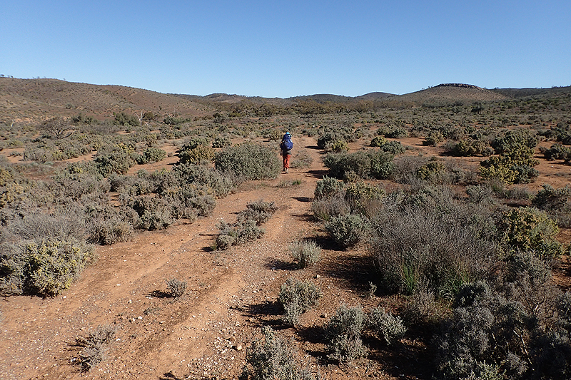
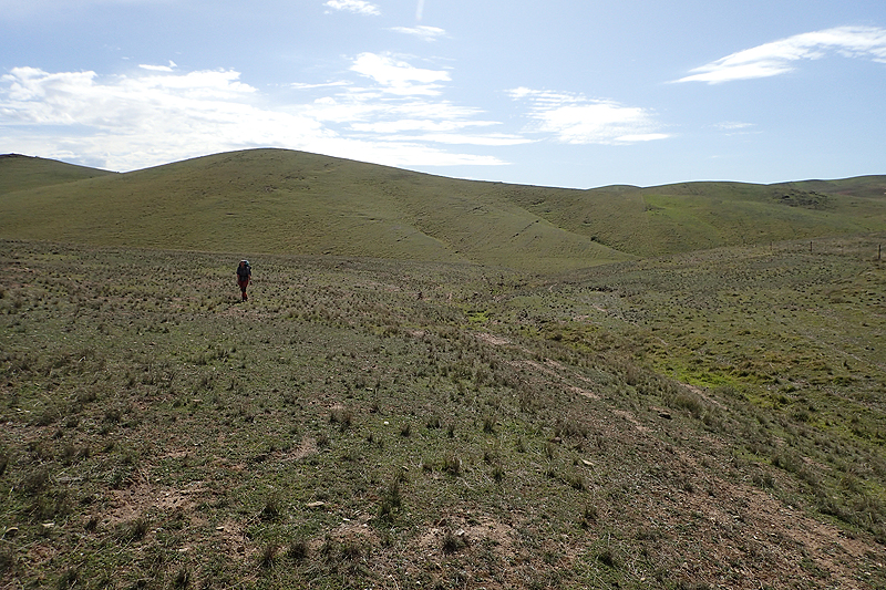
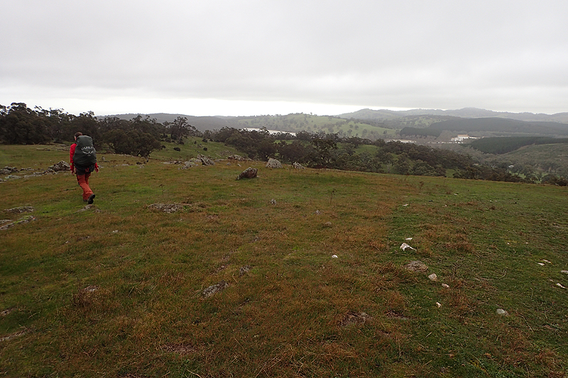
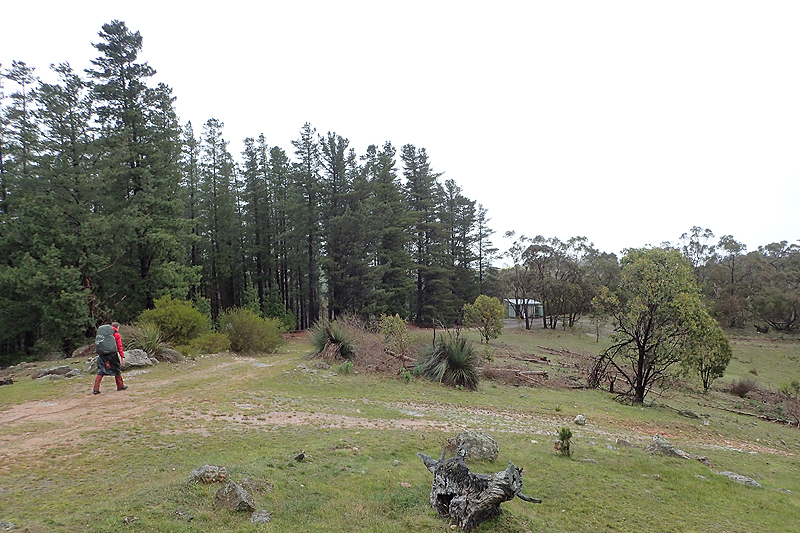
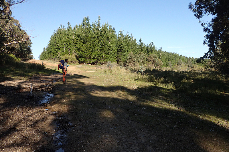
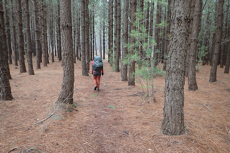
Breakfast never tasted this good! We climbed over our first stile and were on our way. The walking was very pleasant today, a lot of it in dry river beds, quite small and narrow. At some point we entered the domain of the desert fir tree which we love. We are drawn to fir trees anywhere in the world, especially as they have the cleanest floors beneath them for camping! We stopped at Pigeon Bore for lunch and to pick up water and then walked a few kilometres further until we found a nice place to camp.
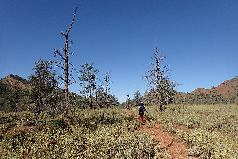
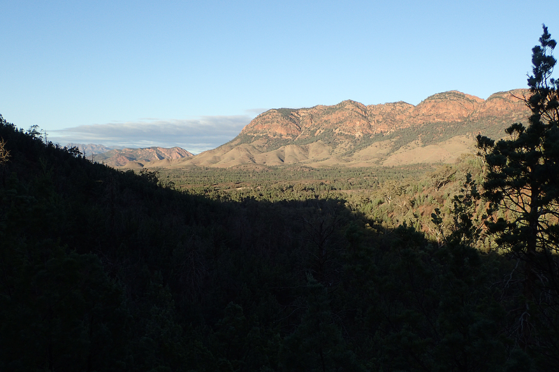
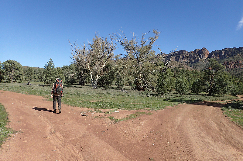
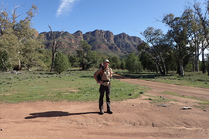
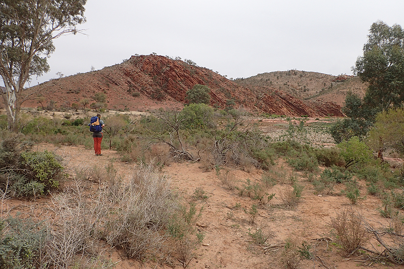
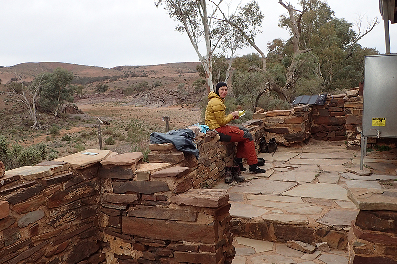
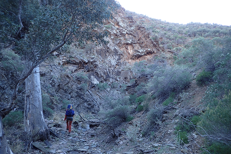
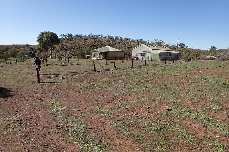
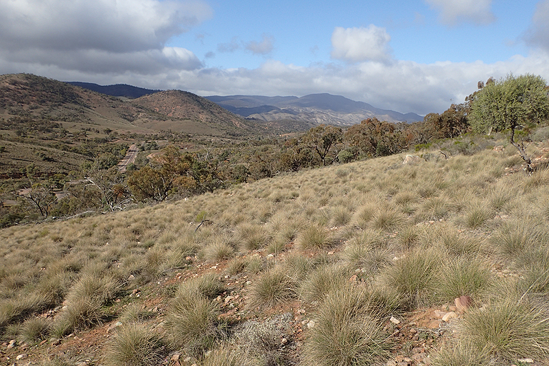
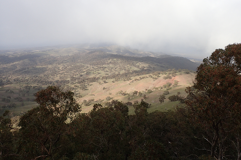
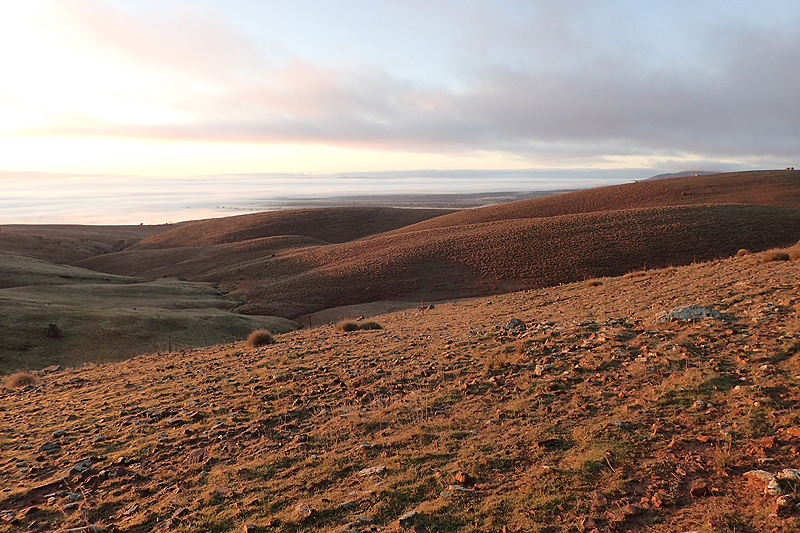
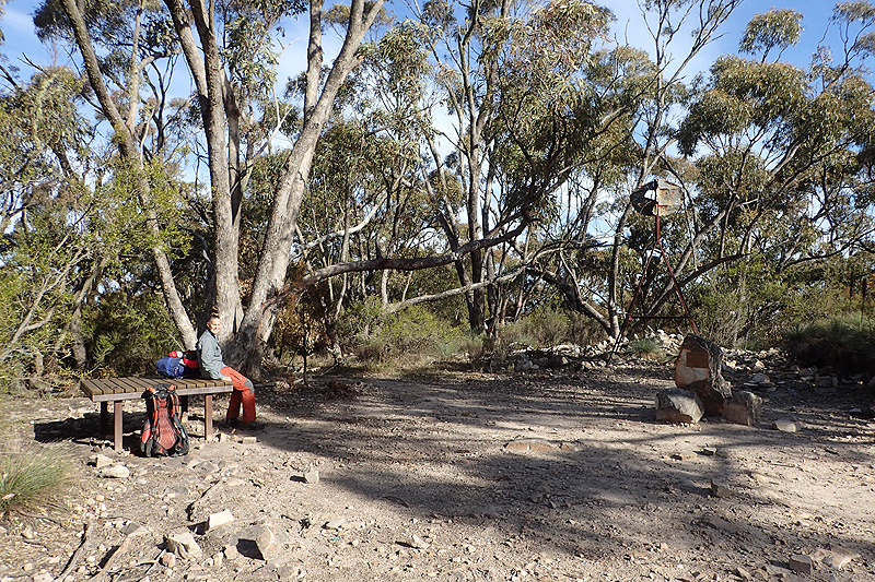
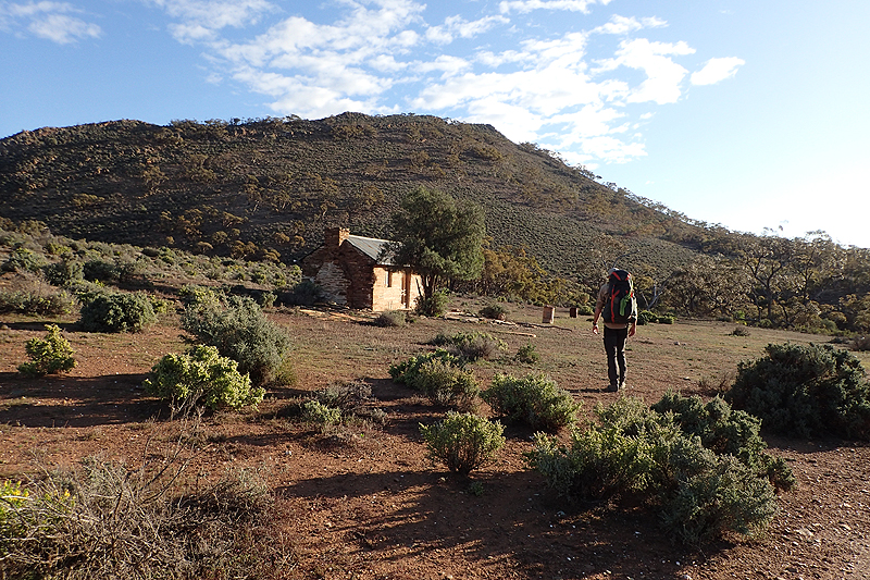
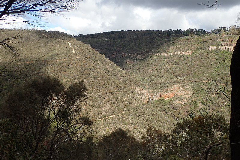
It was interesting reading all about the first European settlers at Aroona Station. The guy came, stayed for a few years and went back to England having made a fortune. Throughout our time on the Heysen we would read many stories of these settlers and usually they were tales of woe. After Aroona there is a climb which provides what soon becomes a regular feature of the Heysen - expansive views! The hike is full of them and often when you least expect. Here we had views to Brachina Gorge. Beautiful. We stopped for lunch at Trezona Campground and then walked on to Middlesite Water Hut which would have been a disappointment had you hung your hat on staying there. I am highly suspicious of huts harbouring rodents and this definitely looked to be the case. We ended up camping in a dry creek bed a few kilometres further on. We heard dingoes this night for the first and only time on the trip.

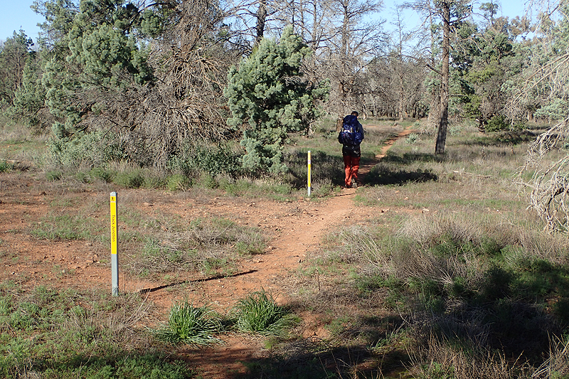
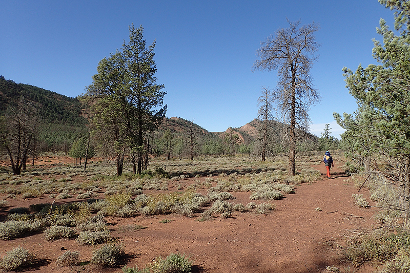
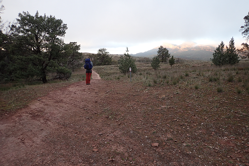
The walk today was far more interesting and challenging than yesterday's. We stopped for coffee at Yanyanna Hut which was nicely situated. After this there was a lot of climbing and descending and the plant life was very diverse, from sparse fir trees to large ferns in the gorges. We camped just after Wilcolo Campground. It was a pretty long day. We set our alarms for 05.30 each day which was easy to stick to for the whole walk. That allows us to be walking off by 07:00. It means waking up in the dark and watching sunrise everyday as you eat breakfast. It's the best part of a winter Australian trip as in summer that sun always beats you to it, even more so in the northern hemisphere. Only way to live! So even when you arrive at your destination at 14:30, it has been a long day! It was never a chore to get up that early though, we found we looked forward to each day. Our path passed Wilcolo followed the same route we used by bike last year and we camped at Wilcolo last year. We saw Annette, a thruhiker that our bus driver picked up in Hawker and provided a lift to the trail head 6km outside Hawker. She was going to try to make it to Yanyanna Hut that night which seemed a tall order. We would read her log book comments all the way from Mayo Hut onwards, delving back into her past so to speak. As we set camp a group of 4 hikers walked along the road above us, must have been heading for Wilcolo. They did not see us.


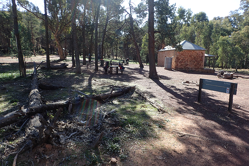
Short day today, only a few kilometres to Wilpena and then on to Bridle Gap. We grabbed a hot shower at Wilpena Campground which was great! The walking around here was really good on well-established paths often used by day hikers and the views from Bridle Gap were fabulous. There was a group of school students there on an Outdoor Ed trip and they had stopped for lunch but moved on, and then we had the place to ourselves.


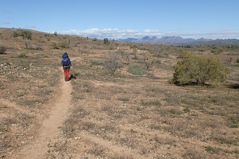
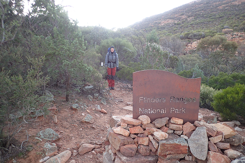
The mornings were cooling down now. The warmer days we had had til now have been a bit of a surprise. It would grow colder as we headed south. We left the National Park just after Bridle Gap. The rocky walls of the creek beds have amazing patterns in them. The bones of the earth were so obvious in this area. We reached Red Range walk-in site which was the first true Heysen campsite since the start. It is a great site with MPP (multi-purpose platform), toilet and seating area with small benches. It was occupied by a female north-bound thruhiker who had assumed every convenience for herself. Her ridiculous tarp (she would not have been the first person we came across who seemed not to appreciate the importance of a proper shelter on such a hike) was set up on the MPP, all her hand washed clothing (every water tank implores users to take only what they need) was hung up dry around the place and she had used every last little bench to attach guy ropes to so that her stupid shelter remained upright. We have on many occassions when traveling in remote areas where you don't come across many people made similar use of facilities (not in quite as extreme a manner though). When you are without any luxury it is easy to want to spread yourself out. However, the minute you see someone approaching, you jump up and start clearing things away to share the space. She made no effort. She just sort of joked about how "fresh" we looked and then tried to make herself out to be the big adventurer. We were really angry. After getting water we cooked, sitting on a log as far away from her as possible. We then walked off without speaking another word. I did not trust myself to say anything.
After Red Range it was mainly flat creek walking and we found an easy campspot not too far away.


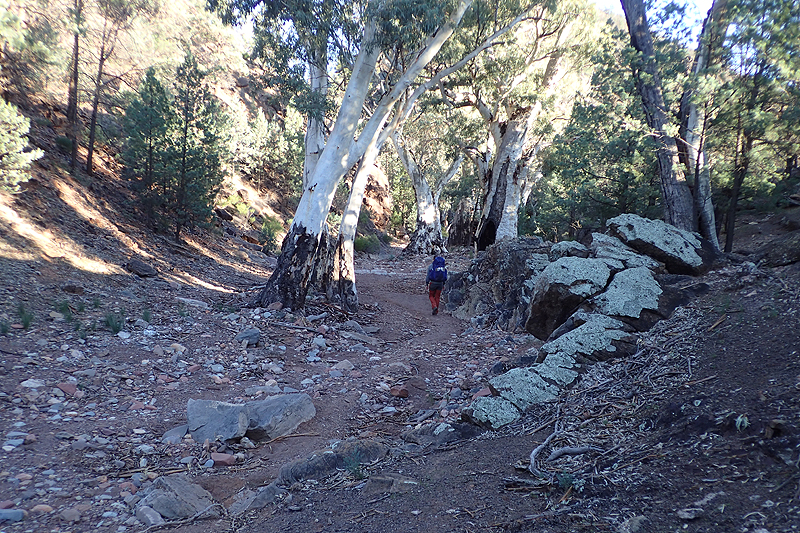
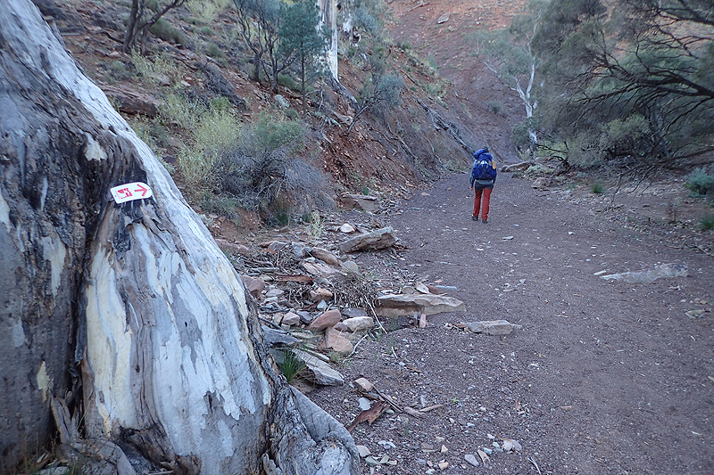
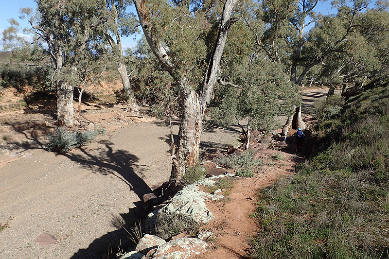
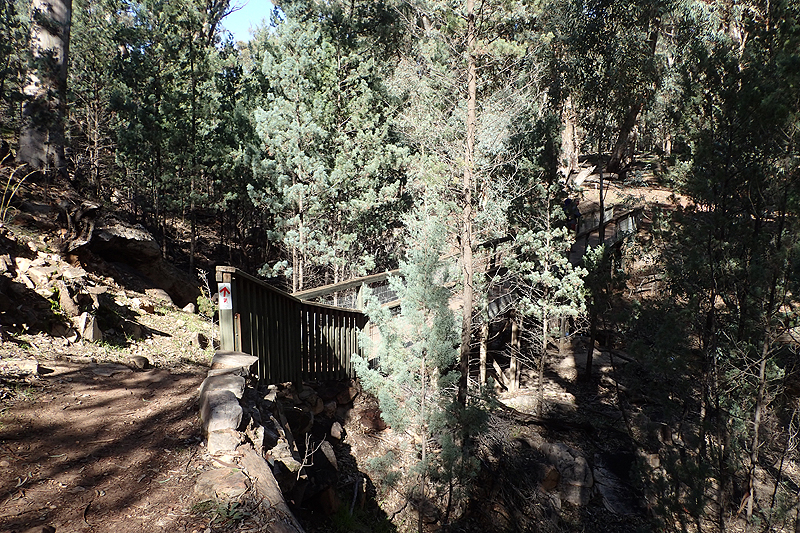
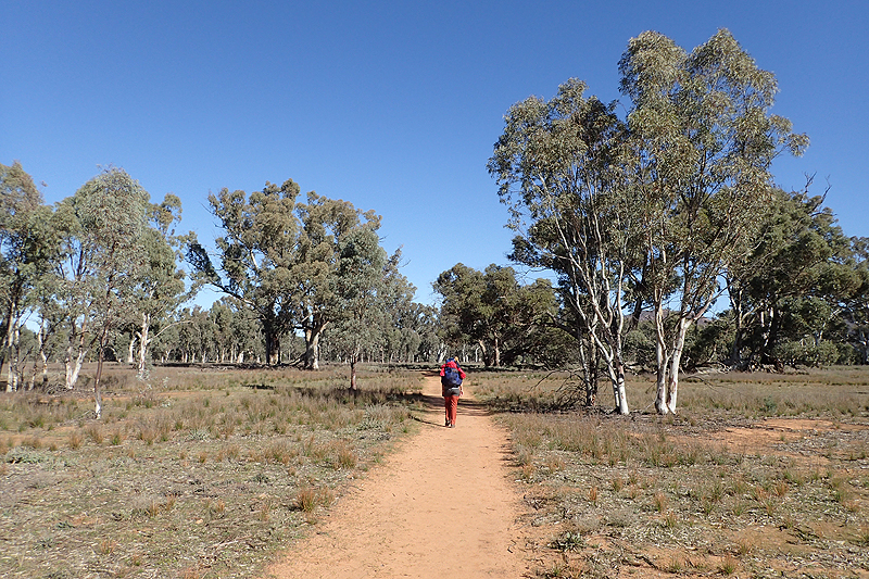
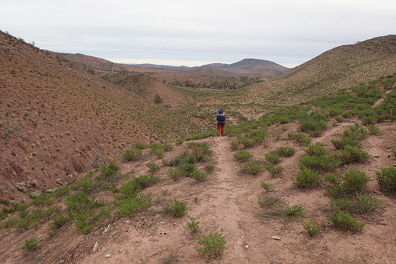
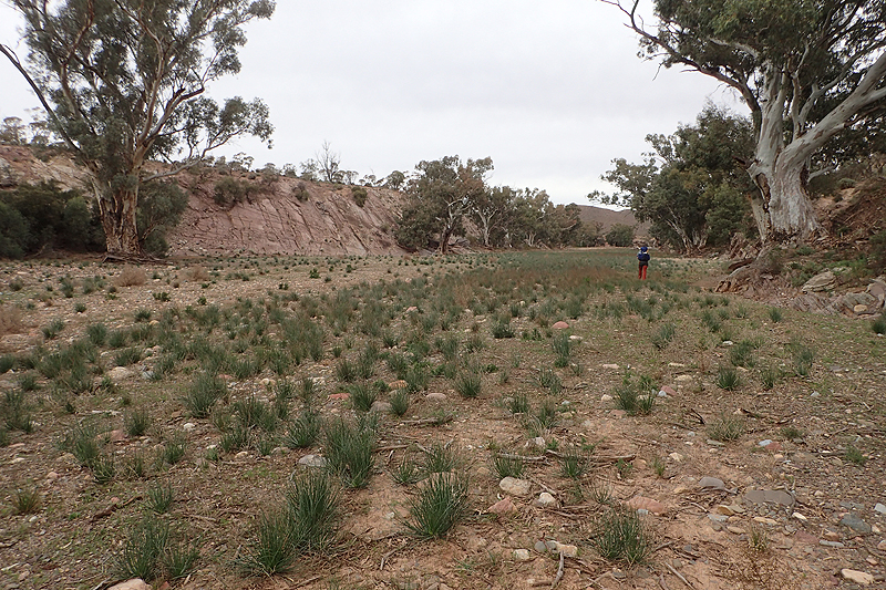
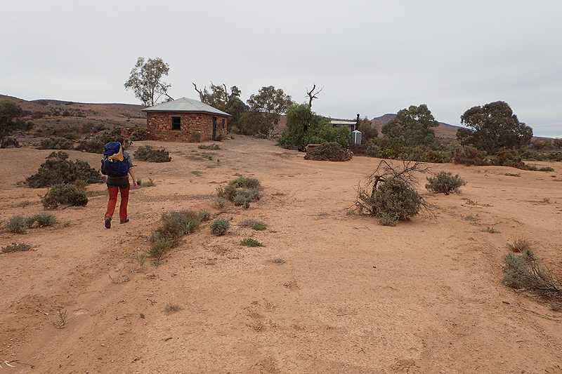
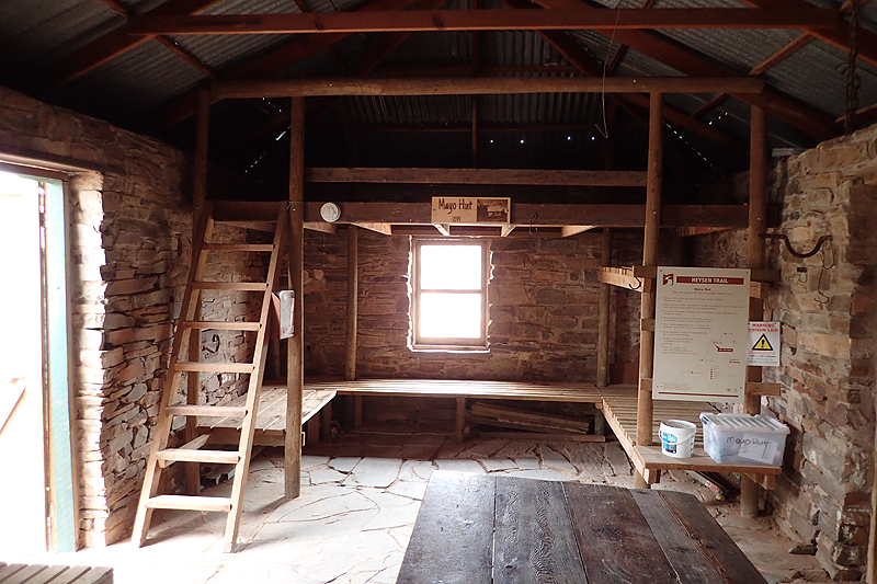
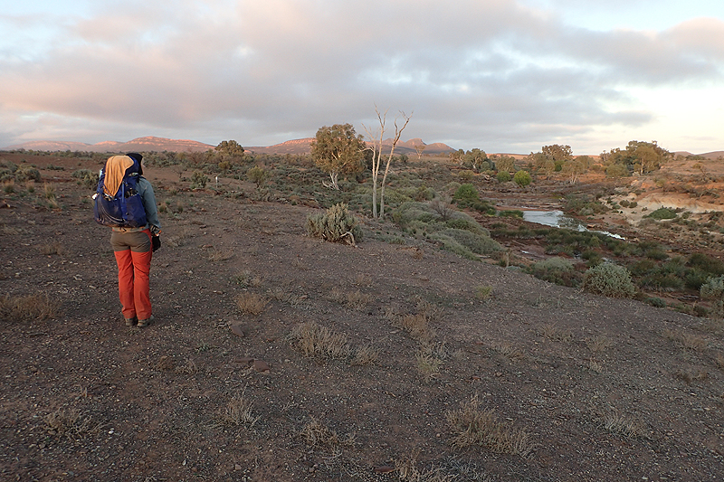
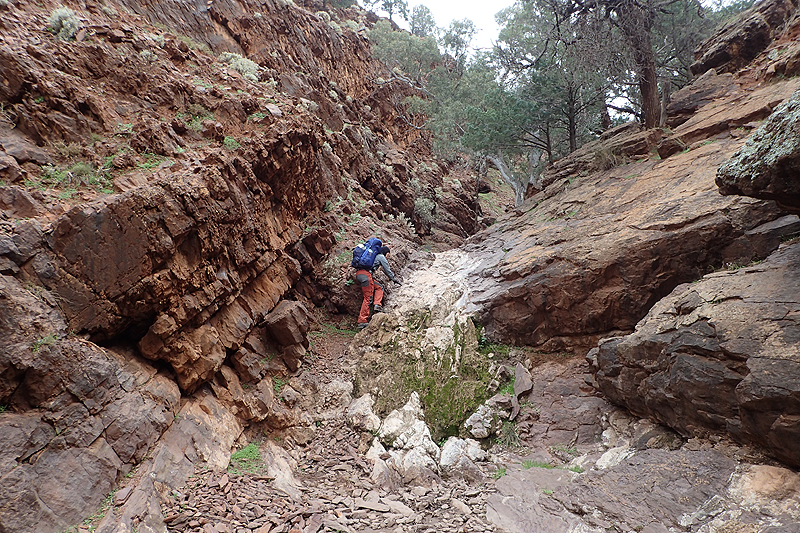
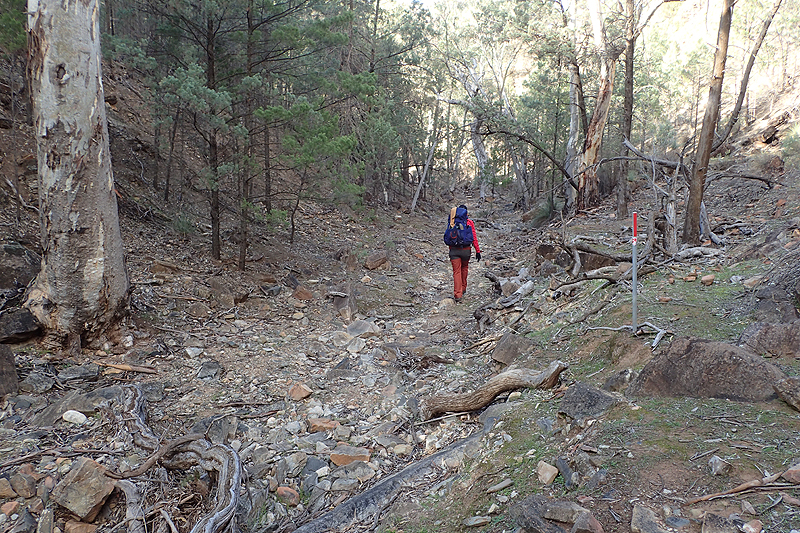
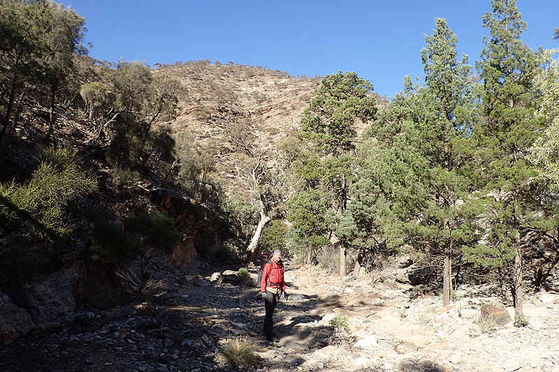
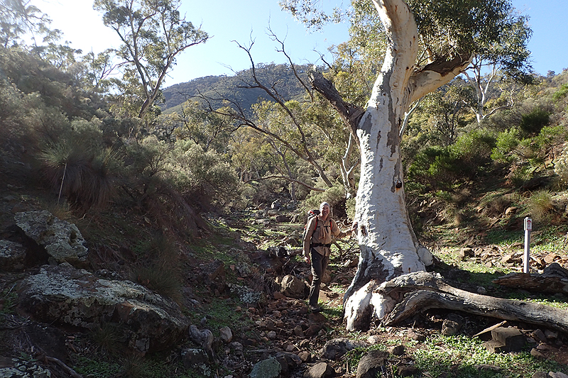
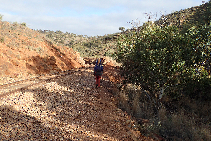
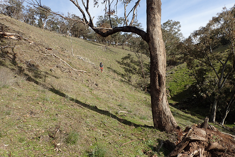
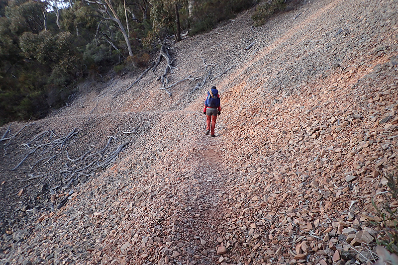
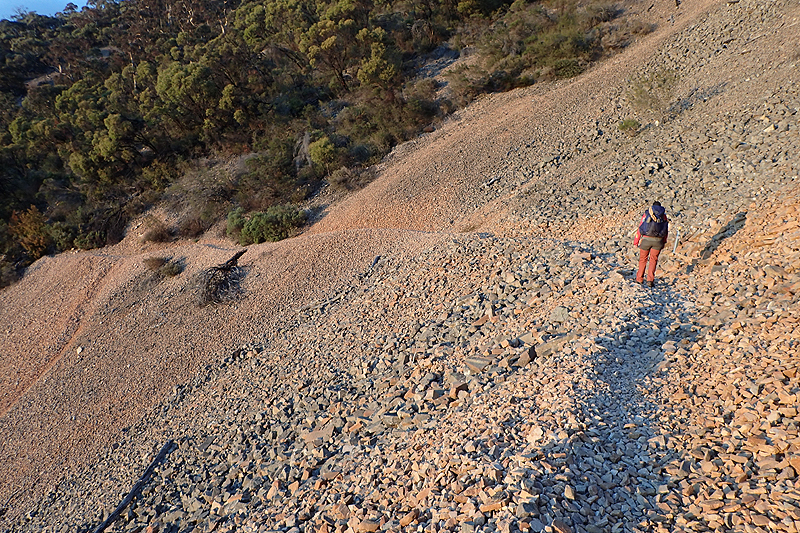
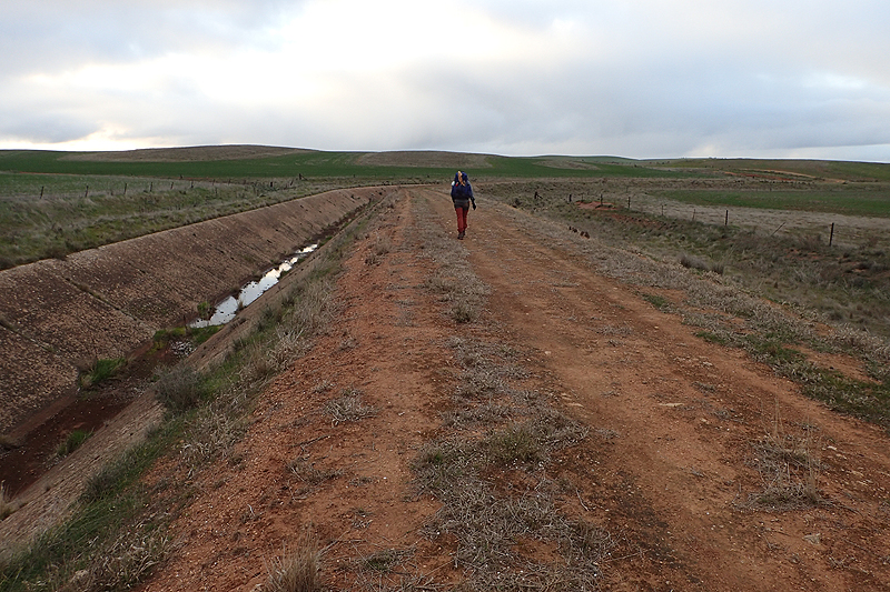
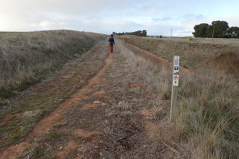
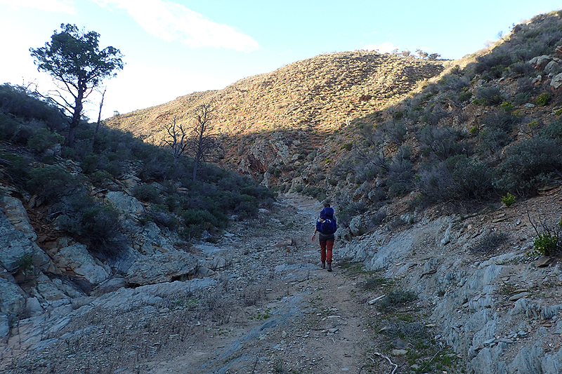
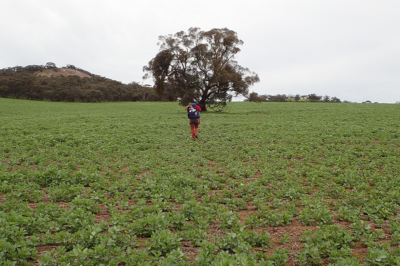
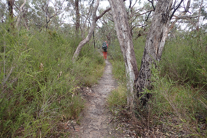
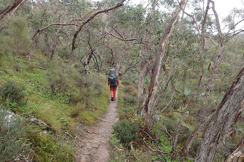
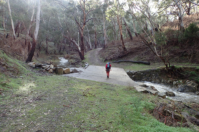
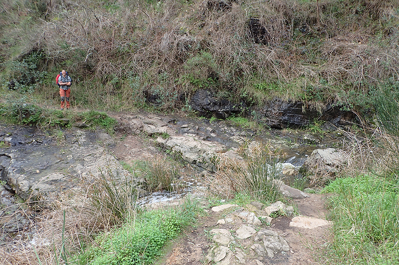
Mainly creek walking today. I had been a bit worried about this before the hike and many people complain about it saying that it is very slow, easy to twist an ankle, wear and tear and sore feet, etc. This was one of many examples which support wearing sturdy, leather hiking boots which provide good ankle support and a solid footbed as opposed to what almost everyone else wears on this hike; lightweight fabric trail shoes. Some people even just wear trail runners. This seems to be the modern trend. We cannot comprehend why you would undertake a long distance hike without proper hiking boots. We both wore Hanwags on this hike and they were brilliant. The rubber soles were very tenacious and the quality of the leather superb. So although the creek walking is quite slow, the boots helped alot and as creeks run at a pretty gentle grade, the walking felt quite flat. It is an interesting idea, using the dry river beds for walking in. Certainly when it floods the hike would no longer be usable. They make for ready made tracks which do not need to be maintained, they simply exist as the river pathway with next to no environmental impact too. It is lovely walking in them, the change in temperature and light, little birds that you see, evidence of prior flooding. Closer to Mayo Hut, the creeks became really wide as the flood plain opened up and here we saw massive trees that had been swept downriver at some point and rest, pushing up against sturdier red gums. We wondered about the strength and size of a flood that could uproot trees like these and carry them along.
Mayo Hut was a lovely place to stop for lunch. Prior to reaching it there was an amazing waterhole; it seemed permanent, a small oasis. A lot of bird life. It was interesting to read about the history of the area and the Mayo family who set up this little dairy homestead, later turning their attention to harvesting massive red gum trees to support the developing railways and in the end having to leave the land with not much to show for it. Tough people who moved out to these tiny remote outposts, had 11 children (in this case) largely it appears so that they could have a reliable workforce for whatever farming they went into. We ended up camping out of the creek bed a few kilometres later on. The countryside here is very rough. Every plant is spiky and thorny, grass grows as spinifex and the soil is barren in between.
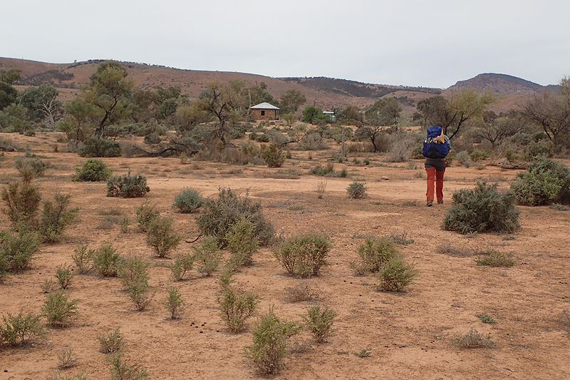

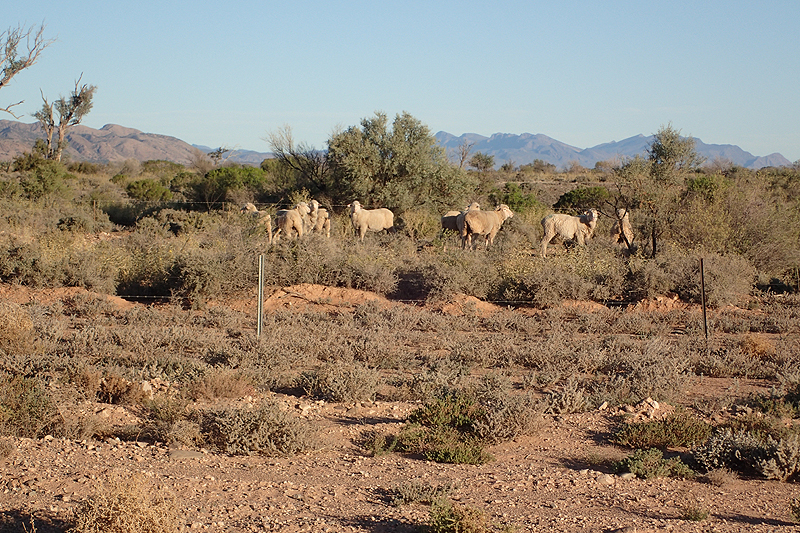
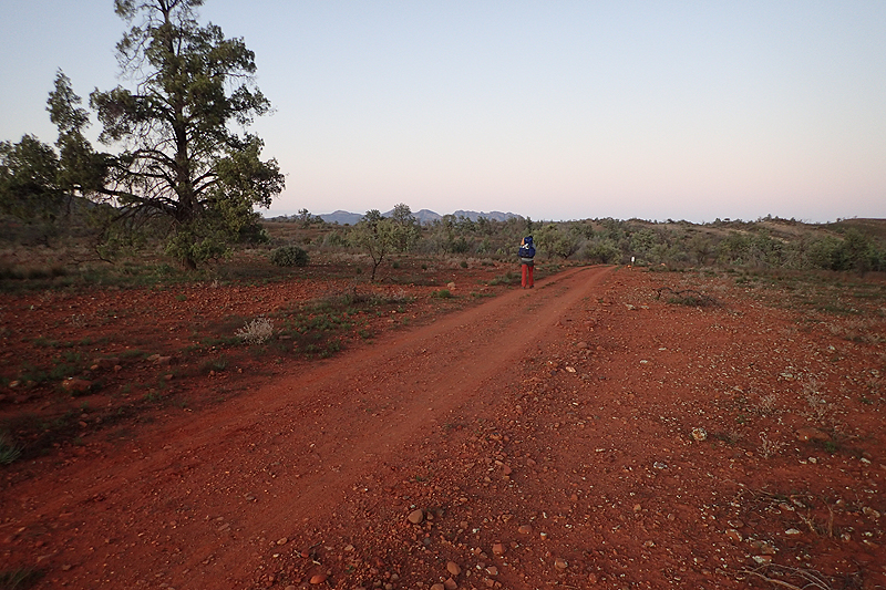
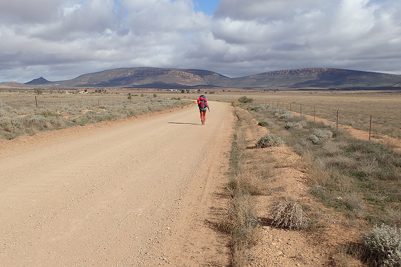
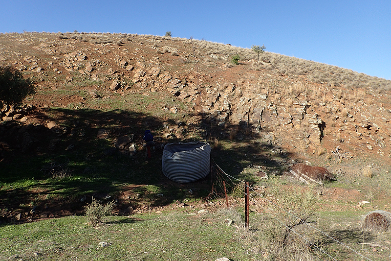
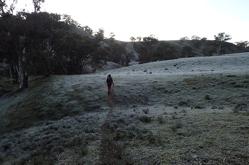
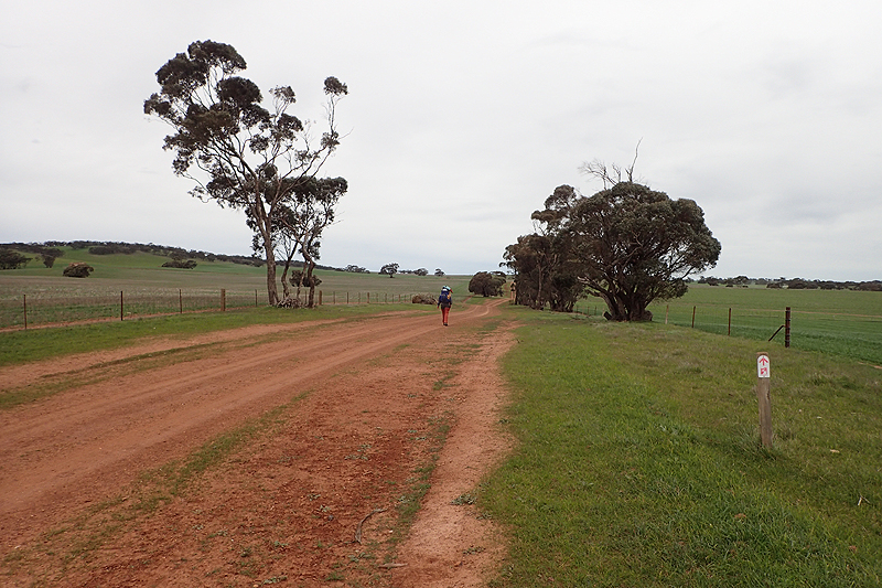
First frosty morning! The night was clear with every star twinkling. The tent was covered in thickish ice in the morning. We were Hawker-bound today to pick up a food parcel, do some food shopping and eat some food! As is often the case going into a town, there was a lot of road walking, both track and bitumen. There is the option of bypassing Hawker and heading for the ridgeline that we would meet up with later in the day, but we needed supplies. We spent a bit of time in Hawker and then headed off, up the climb to Jarvis Hill lookout. We had heavy packs from Hawker for the first time on the hike with supplies to last til Quorn, plus water for tonight and tomorrow morning. Carrying the water even 3 km on top of the food feels like you have had a bit of a kick up the arse. We saw farming for the first time walking from Hawker, sheep farming with very grubby looking sheep that might have to eat stones from the looks of things. Quite difficult to find a campspot due to thorns. Mike brought his usual Thermarest Prolite mattress, however, as we had been given a free Nemo mattress as a peace offering from Nemo (after they had already given us a full refund) due to the mattresses we bought failing so dismally on the Bibbulmen, I was using that for this hike. I was fully prepared for it to fail at some point. So I was looking after it very carefully. Hence the concern over thorns.
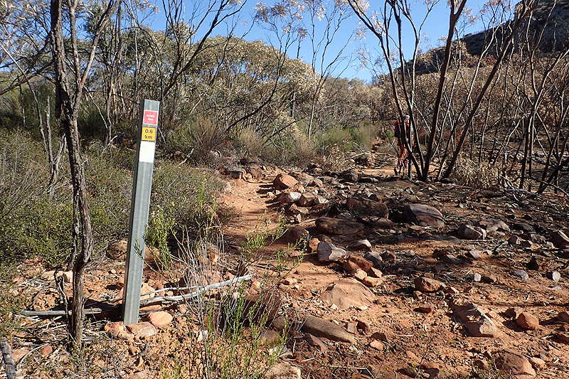
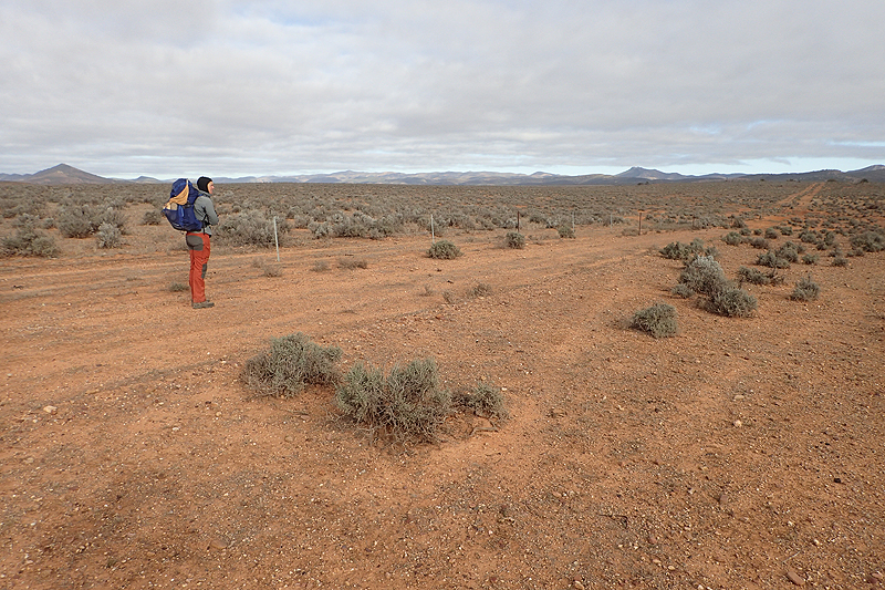
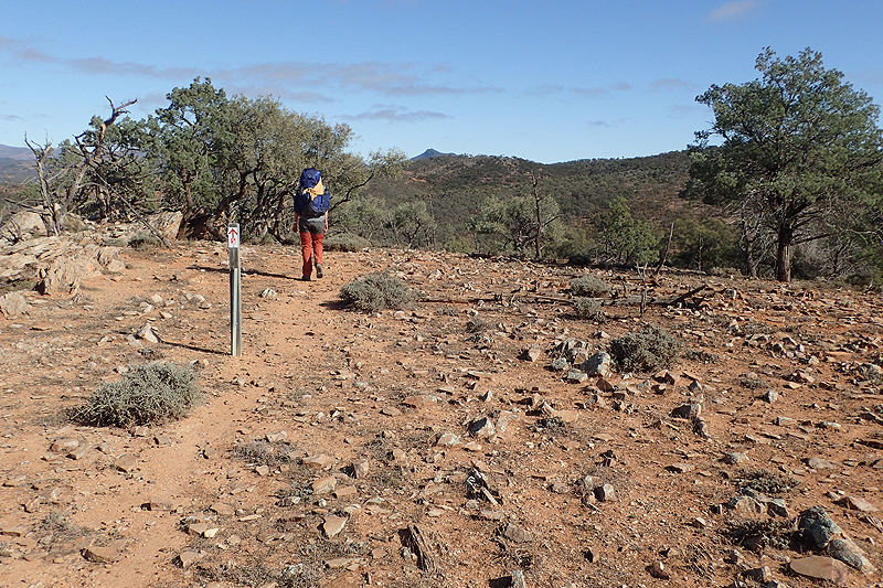
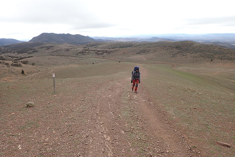
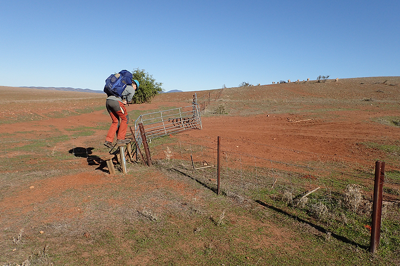
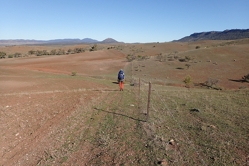
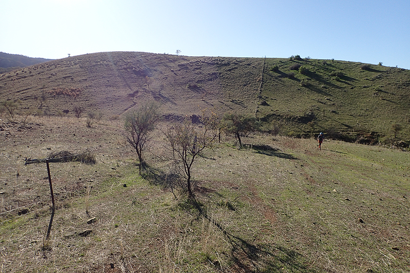
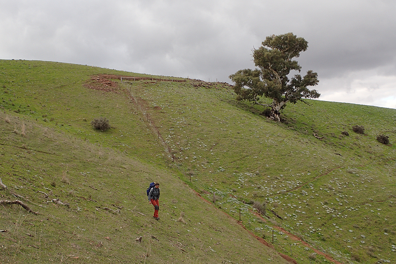
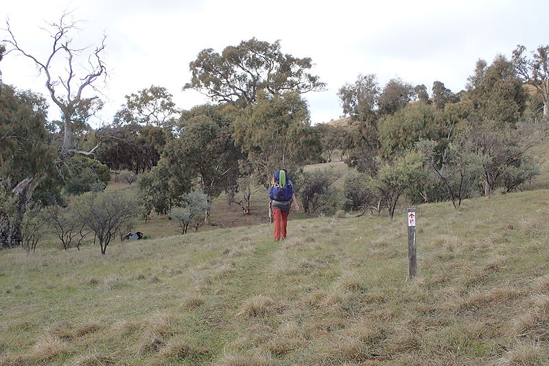
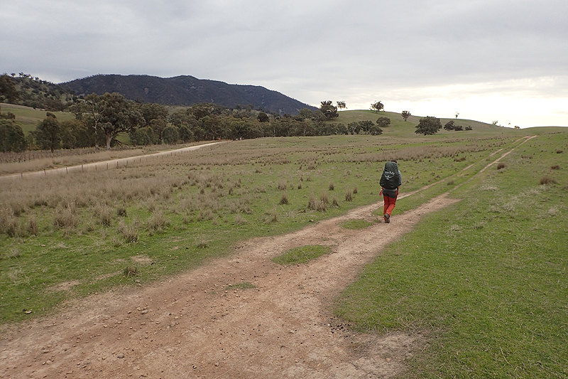
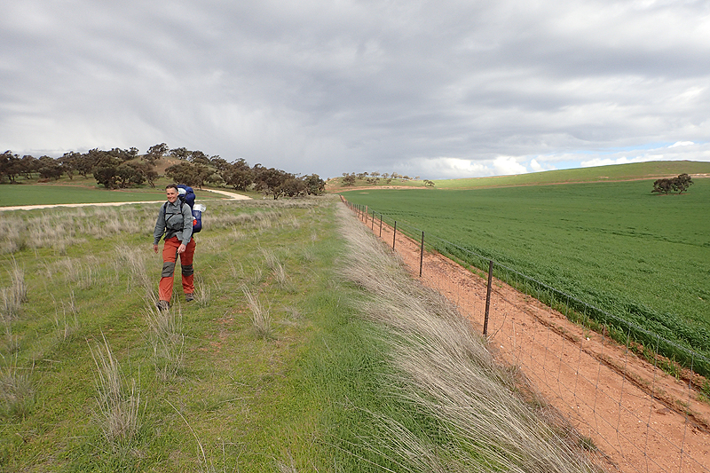
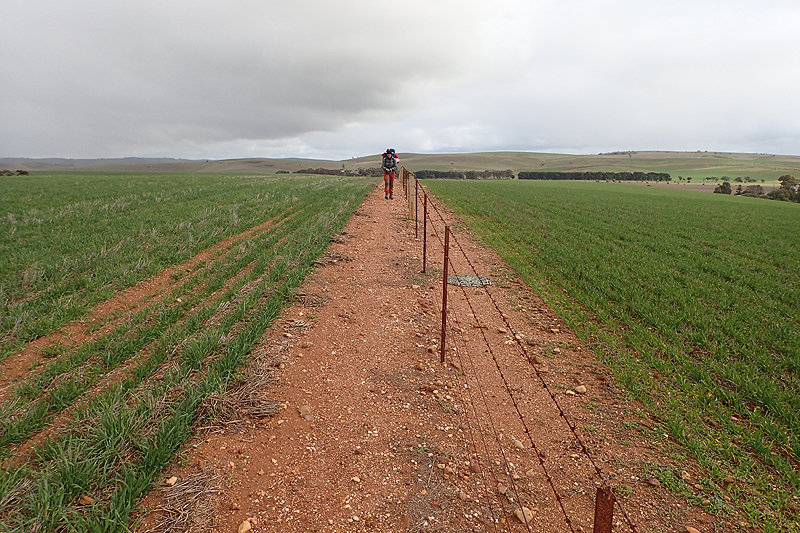
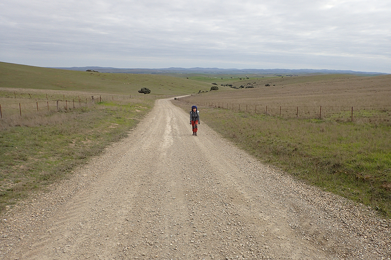
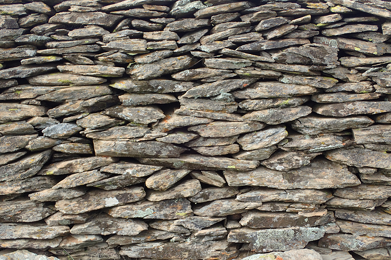
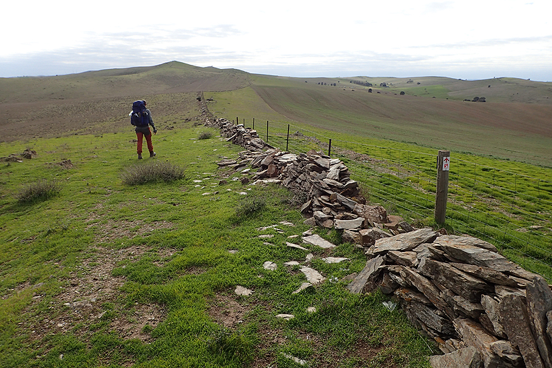
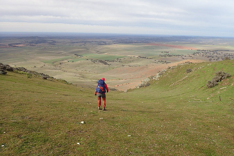
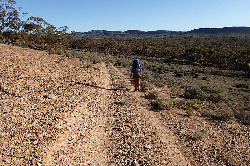
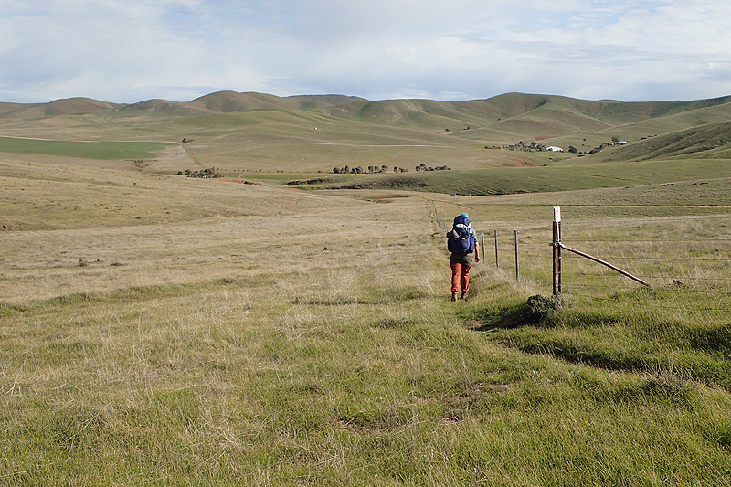
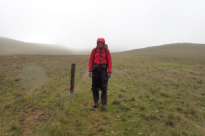
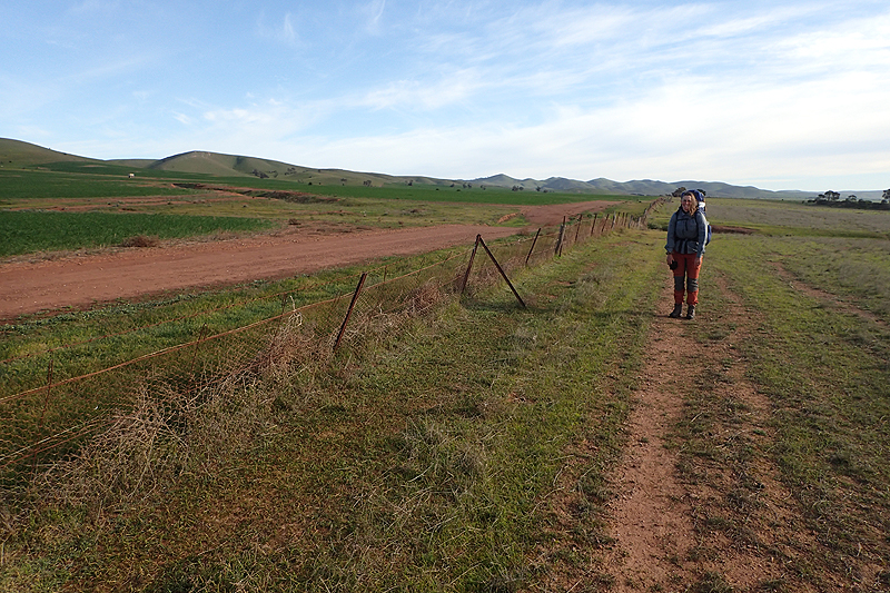
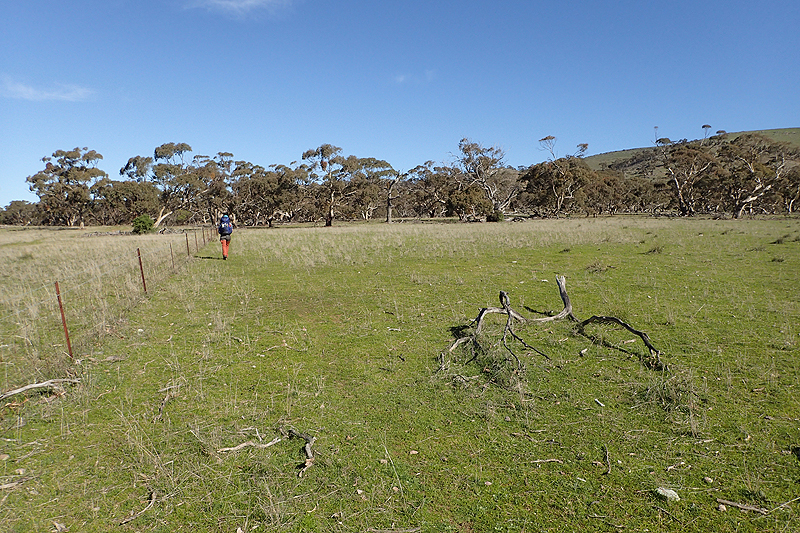
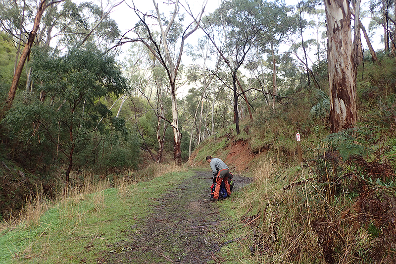
Cold morning and we were to walk into a cold headwind all day. I was reminded of the hotel receptionist in Belfast years ago who told me to put yoghurt on my face!! We had a water tank early in the day at Mount Elm walk-in site after which we had highly irritating walking through rock strewn paddocks. This was early in the piece for us so we were following the rules to the letter. If the sign said "Walkers Follow Fence", that is what we did even if that meant carefully choosing every tiny place to put your foot. Glancing to the left of course there was naked, dirt pasture. That would be the place the trail should go and if we had been doing this walk the other way round that would be where we would be walking. Sometimes this trail tries to keep out of the way too much. When you reflect on it you realise that there is the bare minimum of purpose built trail and it mainly just sticks to other well-defined things. So if you get people to "follow the fence", then the trail just gets created along the fence and you don't have to maintain it as a trail. It is just where the fence is. Eventually we did abandon crazy rock strewn path. Thing is though, if you choose to do that you have to make sure you don't miss any stiles or you will find yourself on the wrong side of the fence.
We met a solo hiker who had walked from Quorn and was going to Hawker. She was happy to have the wind at her back. We took shelter in a creekbed and it was glorious to be in the sun and out of the freezing cold wind. We were in love though with the beautiful desolation of the area. As you spend a long time near fences you start to create a mental catalogue of different styles. So much so that later in the walk we would comment, "Oh that's a new style!". Today being windy was the first time we heard the fence posts singing. A mournful melody, it took a while to figure out where it was coming from at first. We had a break at Calabrinda Creek walk-in site which was a massive area and had a toilet but no shelter other than the rain tank and no bench at all. A bit miserable really. We camped a few kilometres further on and quite near to where we had camped last year while cycling.
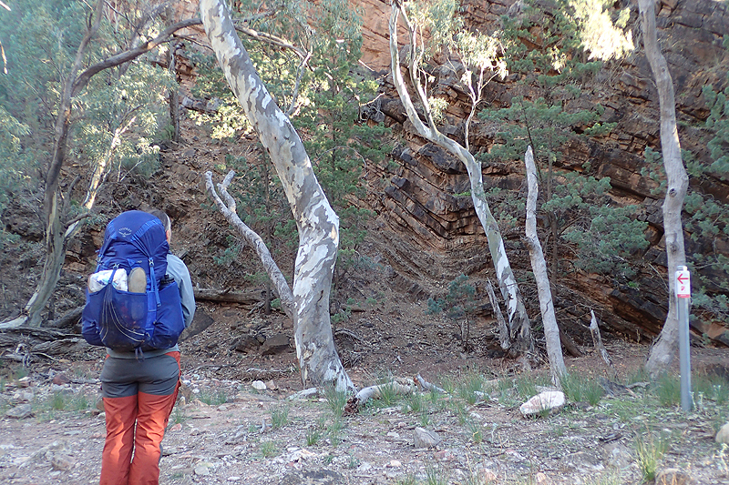
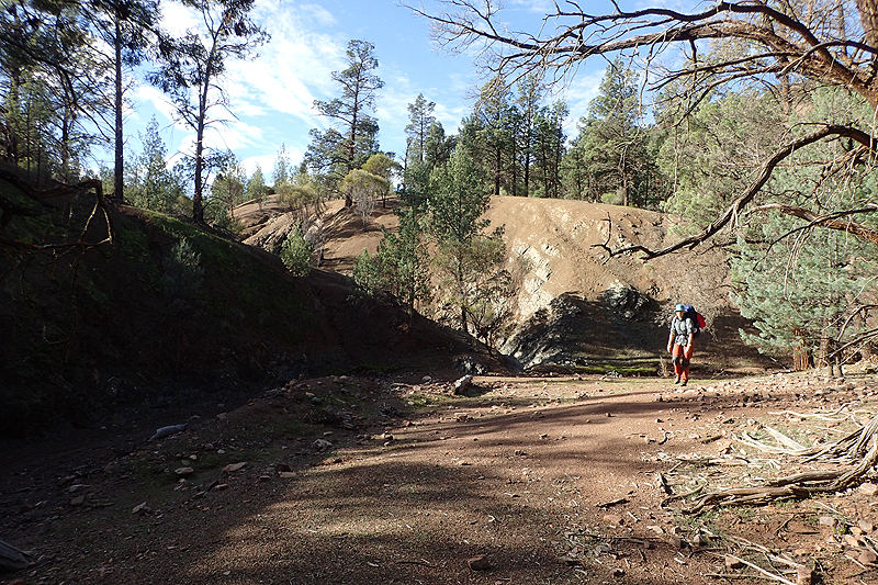
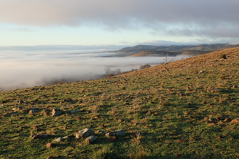
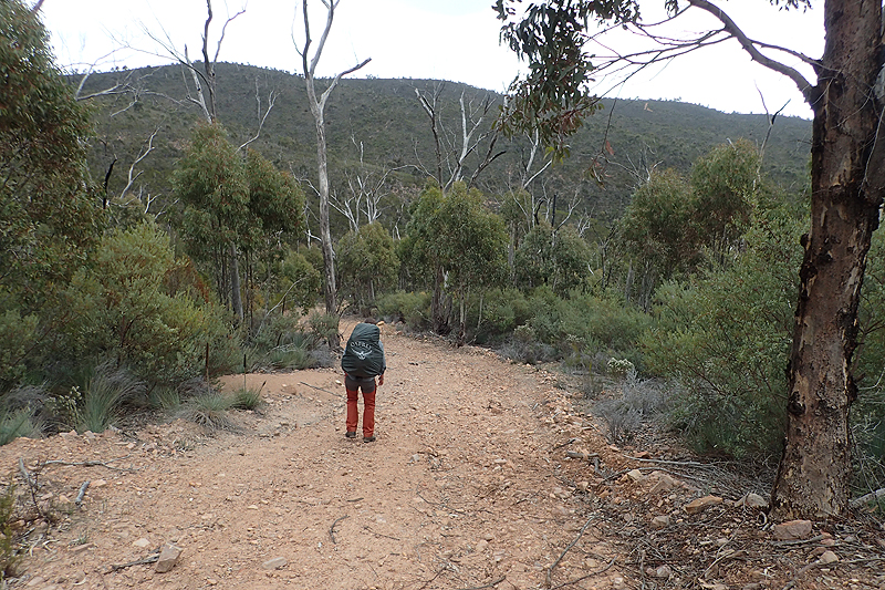
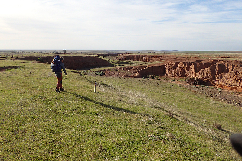
The weather is now officially cold. I tried to find some yoghurt for my face last night but there was none in my pack. This morning walking along farm tracks we met a young cyclist who was cycling the Heysen from Quorn to Parachilna. Obviously the Mawson was not a sufficient challenge for him. He was a downhill off-road biker and spent the day before carrying his bike mainly though creek beds which aren't really designed for cycling. He was hoping to reach Parachilna tonight. We weren't sure if that was possible but he looked enthusiatic, and very young so who knows, maybe he did. We passed two 4x4's and the occupants waved at us. We reached the colour-percolated layers of rock overhanging Wilochra Creek and pressed on. We climbed up out of the creek for quite a distance and walking through some small trees I had a very close call with a stick too close to my eye. Luckily escaped with said eye intact. After Buckaringa North walk-in site it was a surprise to find the conservation area that the trail enters closed for feral animal shooting. This had not been advised on the Heysen website prior to us leaving. We weren't sure what to do and walked along the road that ran alongside. There was no advice regarding alternate routes, just that the trail was closed for a period of a week. A bit nuts really! We decided to camp in some open bushland on the adjacent farm and could hear the gunfire quite close. The next morning we got up at 04:30 to enter the conservation area and walk through in the hope that they did not shoot before dawn.


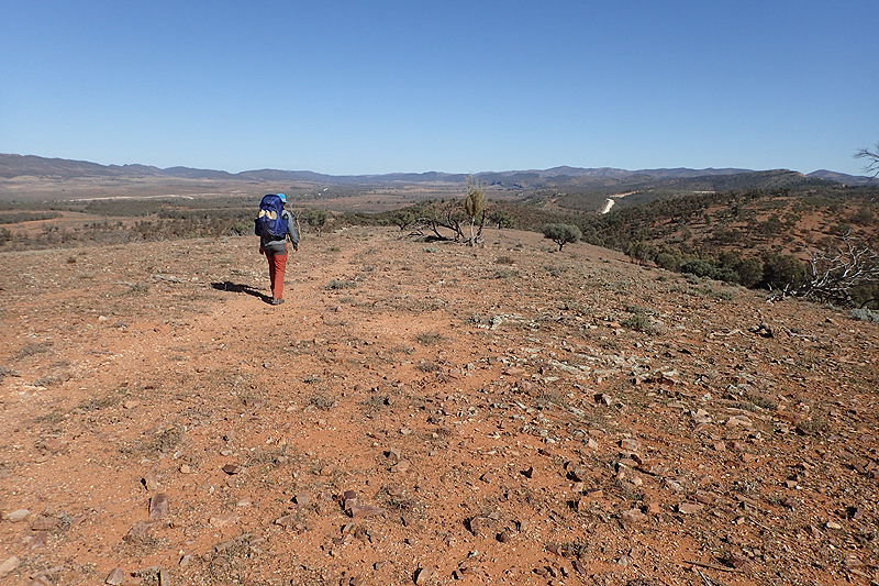


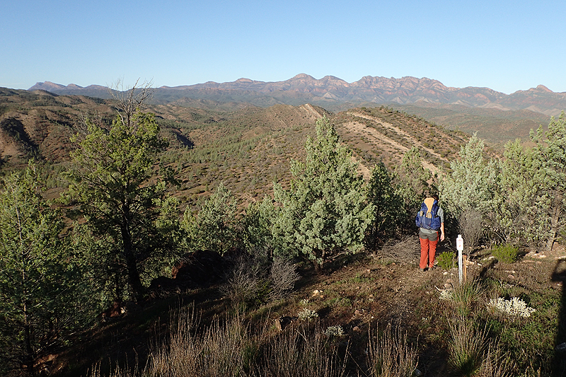
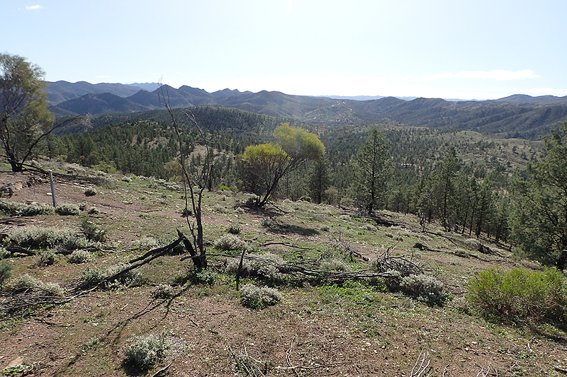
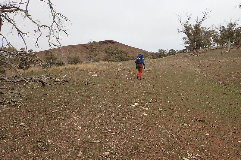
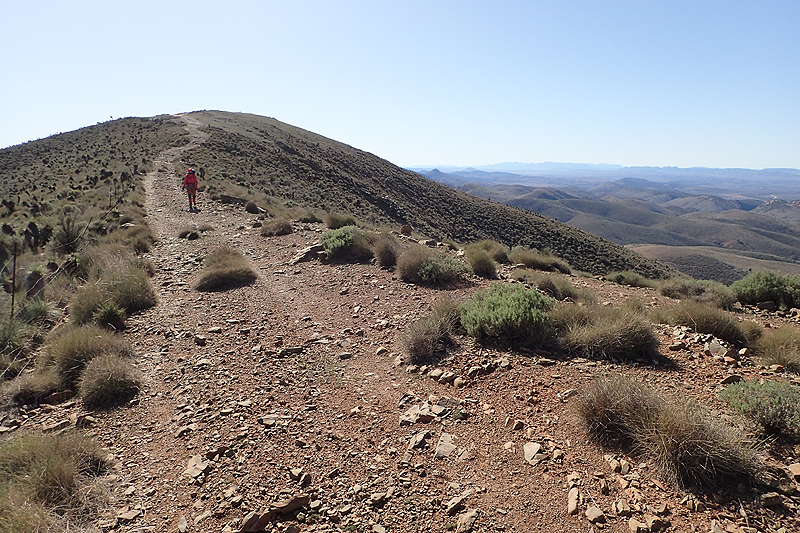
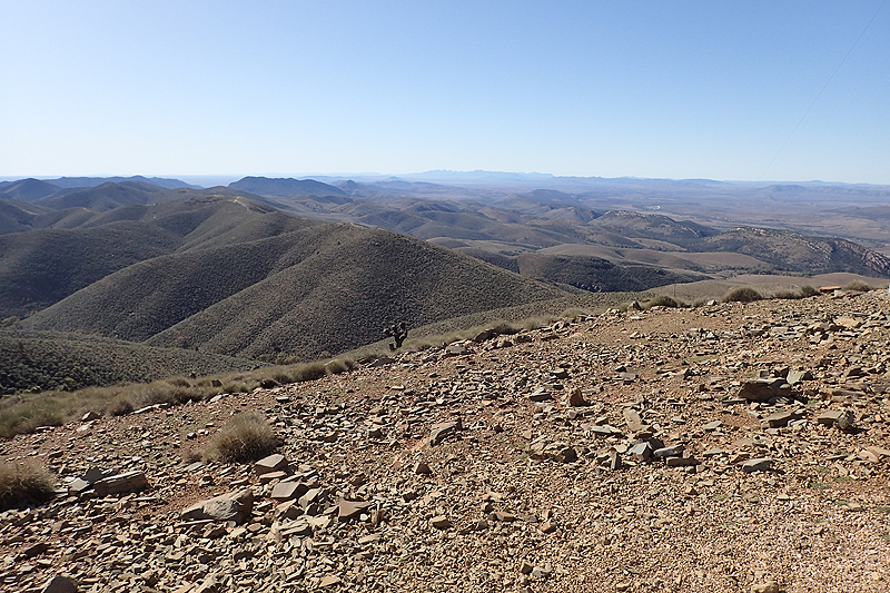
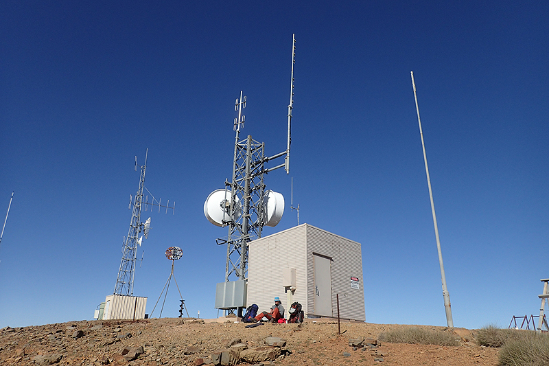
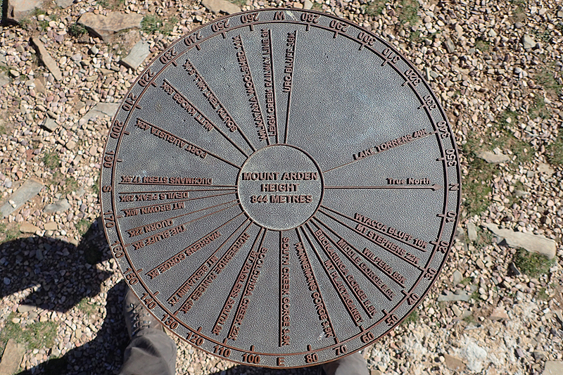
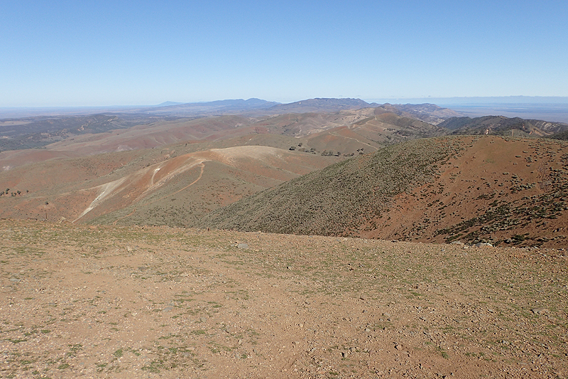
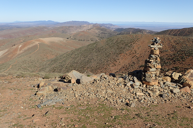
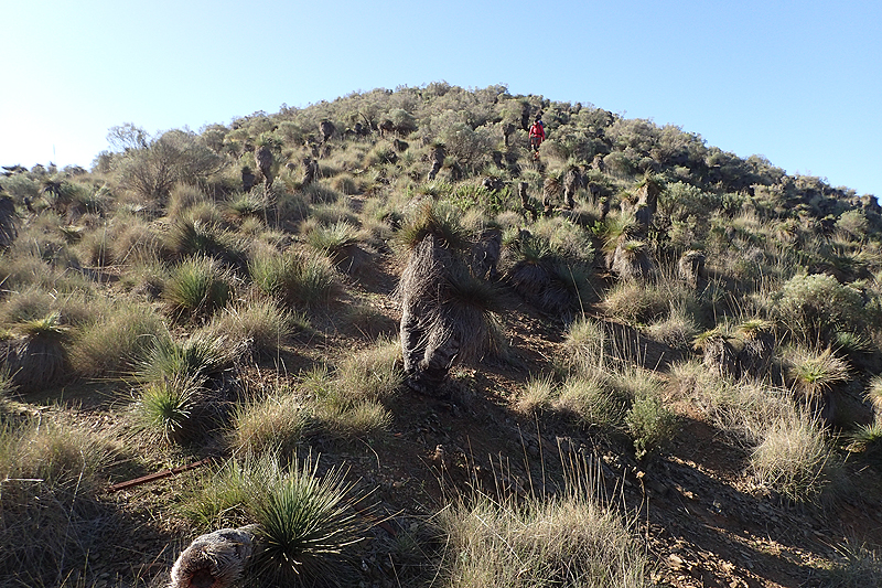
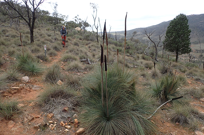
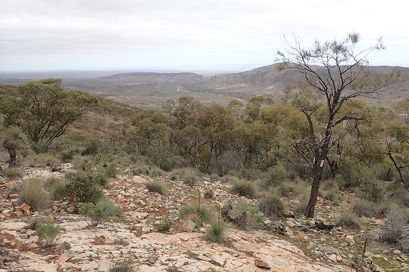
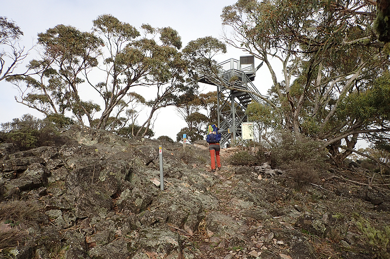
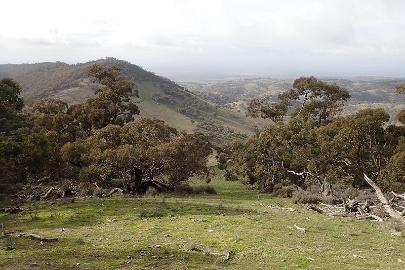
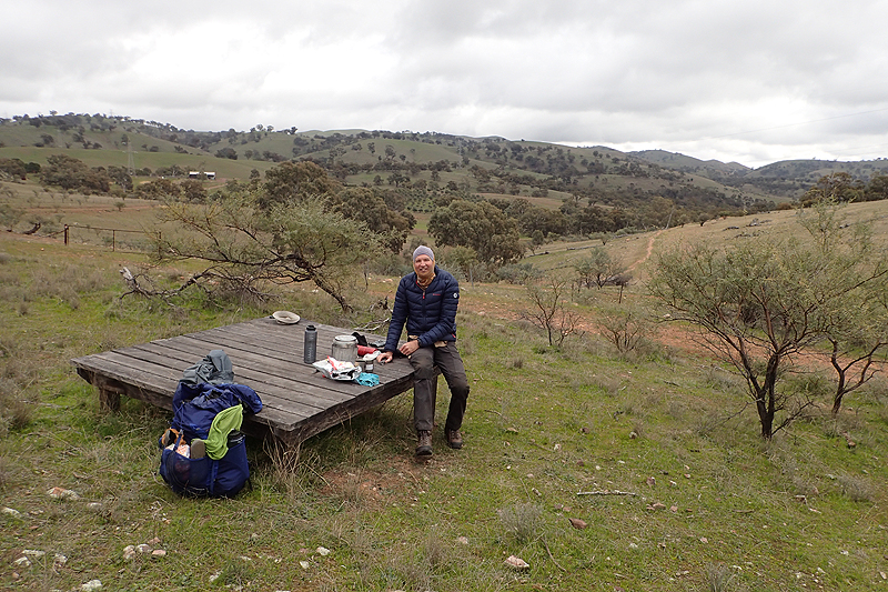
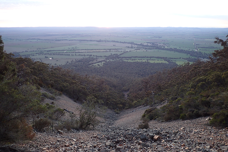
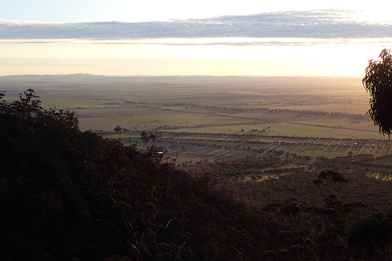
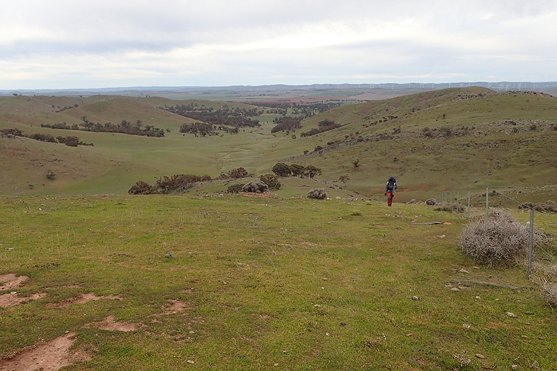
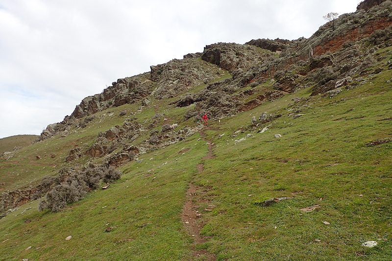
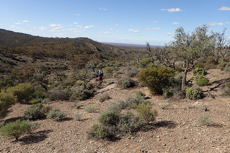
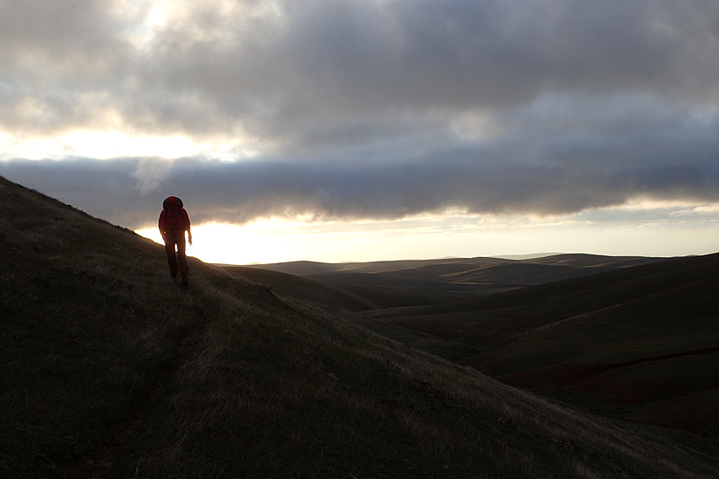
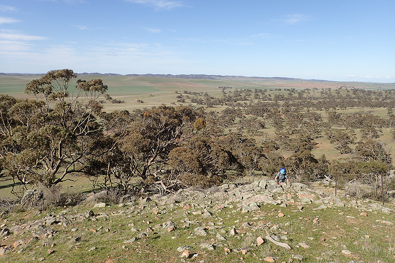
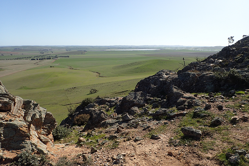
It was a fun experience, walking by head torch and a beautiful sunrise. It took almost 2 hours to walk clear of the conservation area and we made tea just afterwards, overlooked by a large family of goats that had outsmarted the shooters. The rest of the day was a combination of creek walking but now with some steep climbs, sometimes a bit technical, and rolling hills including a long, winding, windy climb to Mt Arden in really cold temperatures. We met two couples hiking from Mount Arden and by coincidence they were the people in the 4x4s that had passed us yesterday. They were completing some day walks to cover this part of the trail. This is far more popular than end-to-end walking on the Heysen. Mostly older people, either walking with friends or who join official end-to-end groups which aim to complete the entire walk in 6 years via a highly organised and structure program. These people don't overnight on the trail, they do the day walks by travelling in two vehicles and then dropping one at one end and travelling together, etc. It must be highly motivating as each year you come together again over the hiking season with your new gear, a good way to keep fit, socialise, etc. The thing is though, Terry Lavender (the bloke who created this trail and who I would sometimes have fond words for and other times not), devised the trail with the intent being this sweeping experience all in one go through South Australia. When you break it down into so many pieces over the years, perhaps it loses something? The trail has brilliant parts and then of course slightly boring "transition days". You take it all in a thru-hike, but we couldn't help thinking that making a special effort to walk one of the boring bits would be a bit rubbish. As we walked the ridgeline towards Mount Arden there were forests of grass trees. A very steep climb up a bitumen road brought us to the summit with beautiful views from the top of the Spencer Gulf and as far as you could see to the east. Very rewarding and a nice surpise! We didn't expect such massive views! We descended to Mount Arden campsite, passing another big goat family as we went. Just before the Heysen site there was a better camping spot with a table and benches which we decamped to after picking up water.

Medical/health update: Some physical wear and tear had occurred by now. Judith has a problematic right ankle (began occurring prior to the hike) whereby my ankle sort of collapses without warning. It's painful when it does but seems to recover. This has in turn caused strife in my right knee. I had brought a knee guard into the trip and am wearing it and has also taken to wrapping my ankle each day in a crepe bandage, which is the only thing Hawker had available. Hoping for a better option in Quorn. Mike's hands are showing signs of exposure to the cold we presume, and have quite a bad rash and blistering which became noticeable around Mount Arden. Frosts from here to Quorn also caused what we presume to be frostbite on his cheeks. It is a little exposed out here! Very dry and cold conditions.
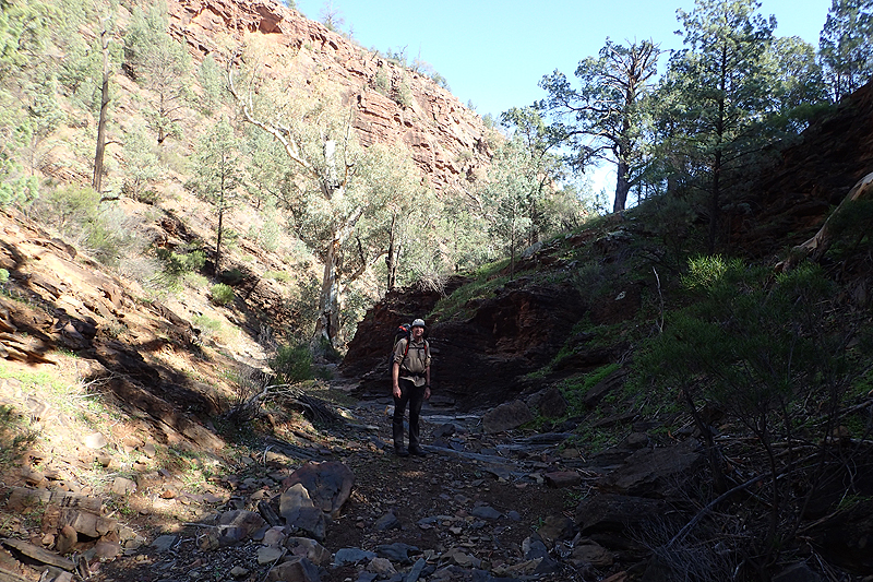
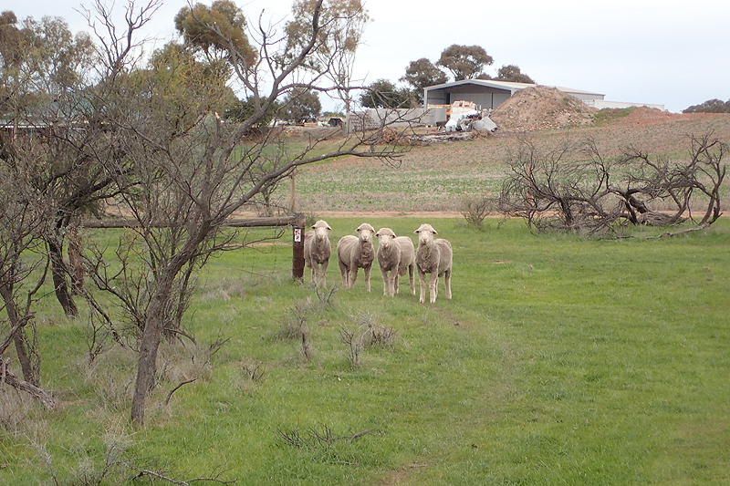
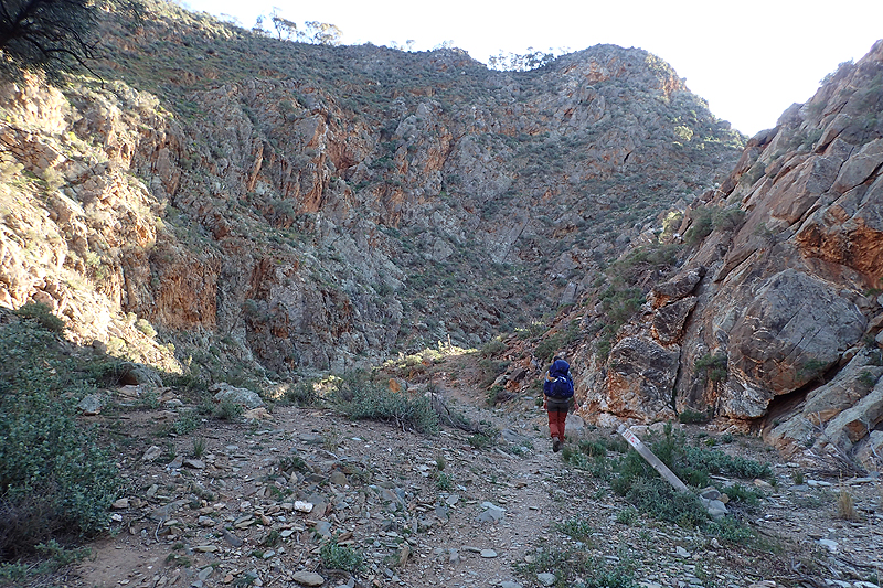
Pretty rough walking today, all in creeks until we climbed out to Eyre Depot. The creeks were narrow and some of the climbs in and out of them pretty technical. The views when we were out of the creeks were amazing. We don't mind walking in the creeks too much but probably will be happier when they come to an end! Approaching Eyre Depot we met up with the same two couples we saw yesterday, making their way by car to another point where they will start hiking again. They gave us some details about the the trail from Eyre Depot to Dutchman's Stern. We made our evening meal at Eyre Depot, admiring the view of the flatlands in front of us. An end to end group of about 6 hikers came along, they had hiked from Dutchman's Stern. The bloke up front said this was their last section to complete for their end-to-end. People do feel rather accomplished about these things, but when you get down to it, it's just walking. The poorest people in the world do it with no equipment and over much vaster distances. After eating we headed on for a few more kilometres to camp in a creek bed, keenly observed by some grubby sheep.


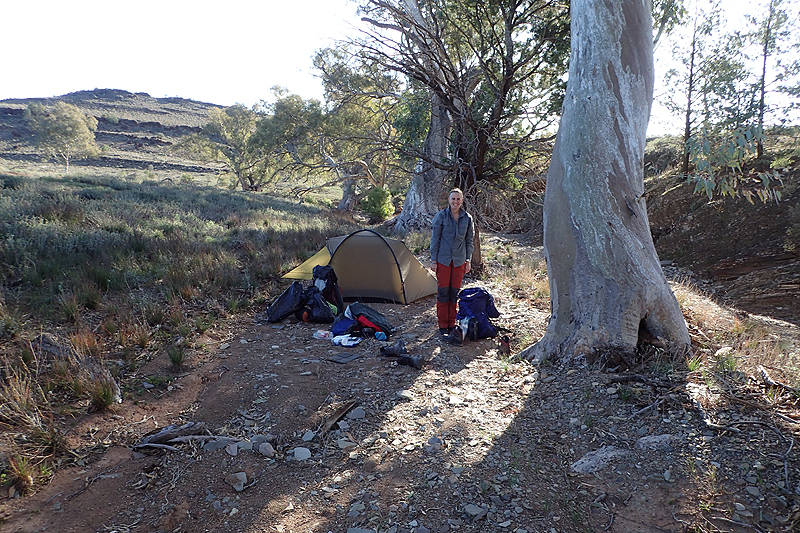
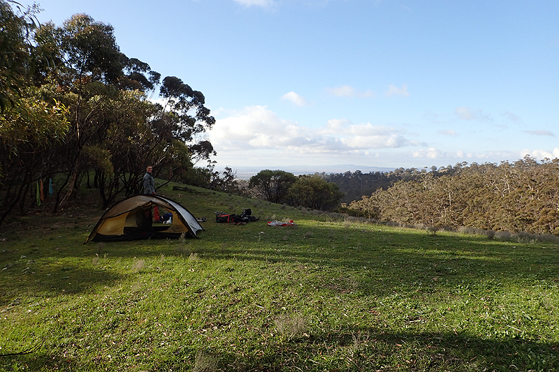
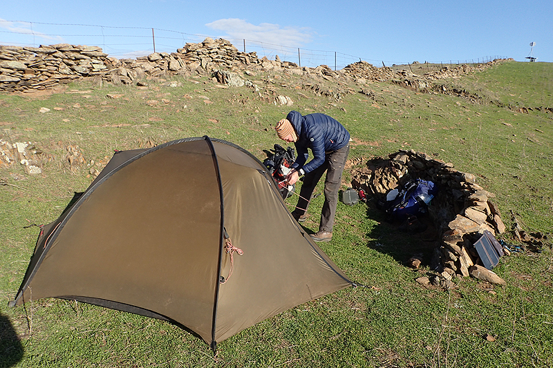
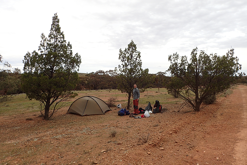
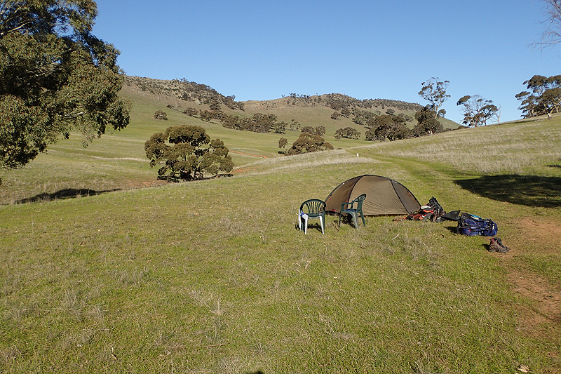
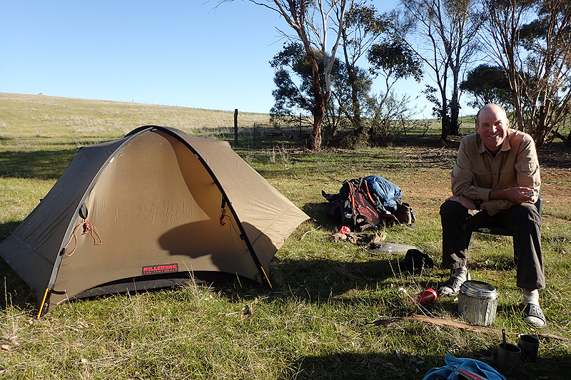
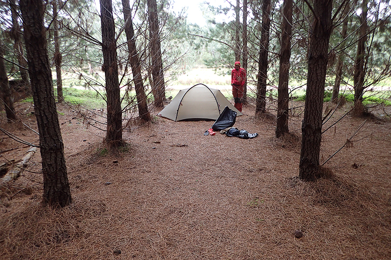
We had a very windy night in our little creek bed and Mike had to get up in the middle of the night to reset the guy ropes. We are using our Hilleberg Rogan tent that we bought for the Bibbulmen. Hilleberg has a rating system for their tents and Rogan is rated "yellow", the other's being "red" and "black". The rating system explains the prioritising of weight vs strength and comfort. Yellow is for when weight is the biggest factor and strength is sacrificed. Our go to tent for bicycle touring is the Staika, which is rated "black", however at 4 kg this is not a tent you want to take for a walk. We knew that this hike would be very exposed and we had purchased the tent for the Bibbulmen with its sheltered forests and huts always available. We had not anticipated wanting to do further hiking, the Bibbulmen had been "something to do" when WA was "an island within an island" in 2020 due to Covid. Our thoughts were already turning to other Hilleberg "black" tents. Still, most people don't buy tents from a manufacturer advanced enough to have a rating system, we were confident that the "yellow" Rogan would do the job on this hike! Even in the high wind overnight, we did not feel that the tent was compromised, but it did take strain which you want to prevent. We had swapped out the shorter pegs the tent comes with for some longer Staika pegs and we planned to pick up a couple of super long pegs in Quorn. We had also brought some additional guy ropes with us from home, which made a huge difference.
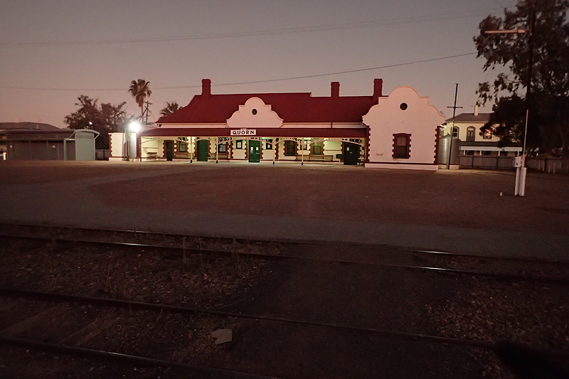
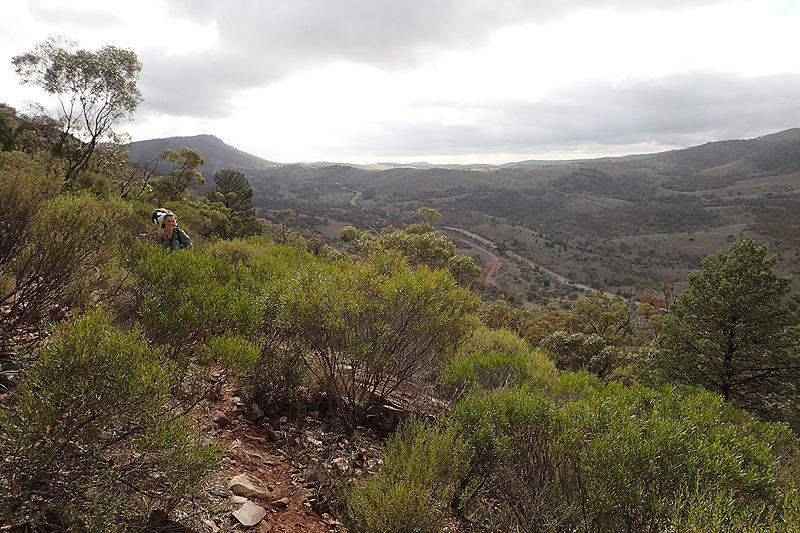
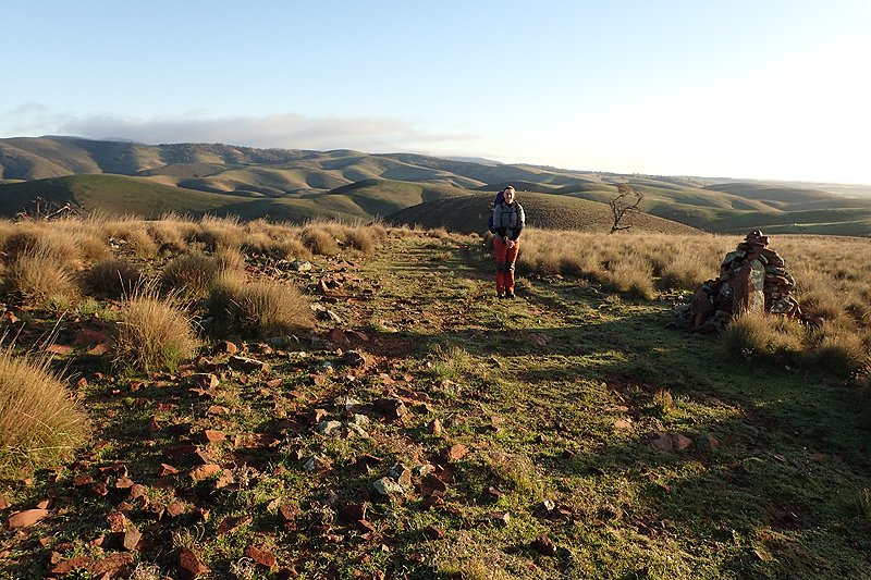
The wind grew stronger to possibly gale force as we climed up towards the ridge, however we were soon in the shelter of the creek bed which we would walk up for hours. We met two couples, both northbound end-to-enders and chatted to one. By the time we had climed out of the creek, we still had 15 km to go to Quorn and it was 11:30! We stopped at Dutchman's Stern Hut for lunch and then it was 12 km to go. The walking was much easier now but seemed slow. We left the conservation area and re-entered farmland. Here we came across our first "they cannot be serious" hill to walk up. I thought it was impossible/incorrectly signposted/a sick joke. I had to actually crawl up on all fours, it was that steep. We arrived at the campsite in Quorn at 16:30 which was acceptable. Tomorrow would be our first rest day!


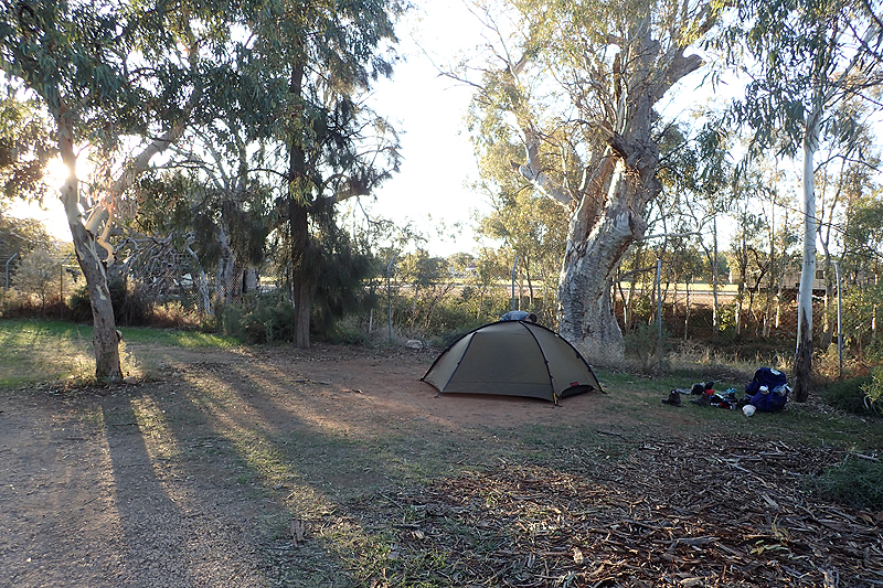
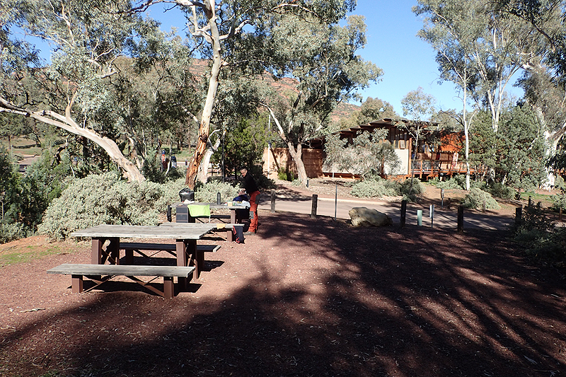
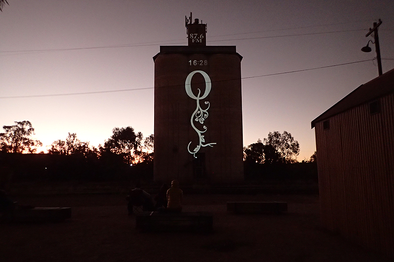
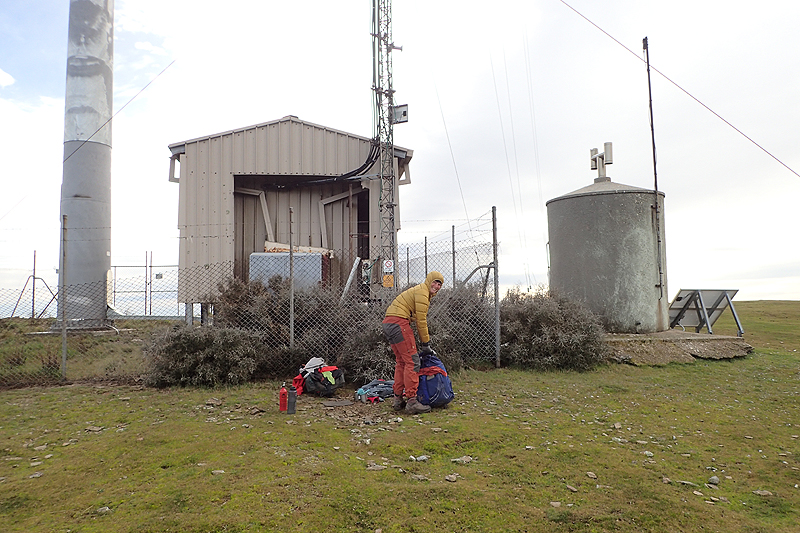
We shopped, posted a food parcel to Spalding and placed an online order for a better ankle strap, and some warmer clothing/gloves. Quorn was a nice place to be. It was still cold and clear. We enjoyed the Silo Light Show, doing the laundry and having a hot shower.
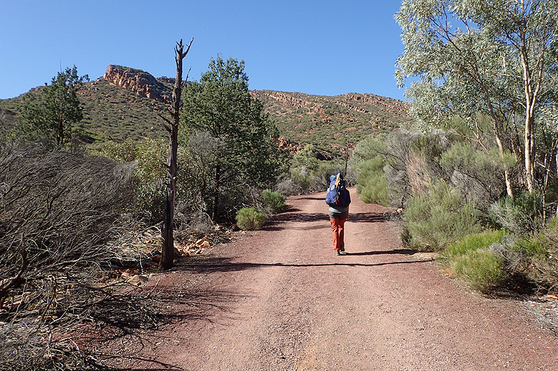
This section from Quorn to Melrose was quite challenging, with many ups and downs. Literally. "Follow the fence" ensures this as in South Australia the fences are stright lines and don't care what the topography is. You know you are in trouble when you look at the farming; sheep, sheep and more sheep. They don't mind the hills! Leaving Quorn the walking was easy along the Pitchi-Ritchi Railway, got annoyingly rockstrewn climbing up through the nature reserve and then time consuming as we crossed underneath the road to Quorn and traipsed up a creek to the campsite. The conservation area was impressive in it's array of native flora. It sort of felt like a day that had been made longer than it needed to be. It is such slow going when the way is rockstrewn. The little campsite was really cute and we watched a family of goats, complete with tiny kids running up and down the vertical cliffs laughing at our earlier attempts! If only we had their skill. We were pleased the day was behind us, it had been hard to get momentum.


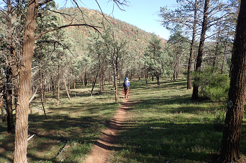
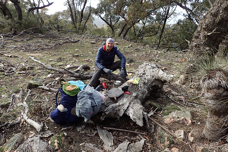
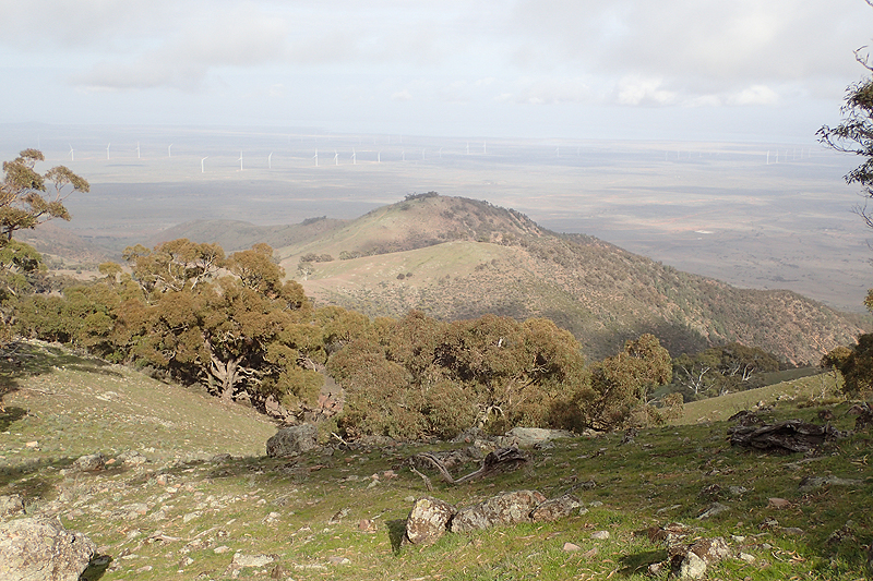
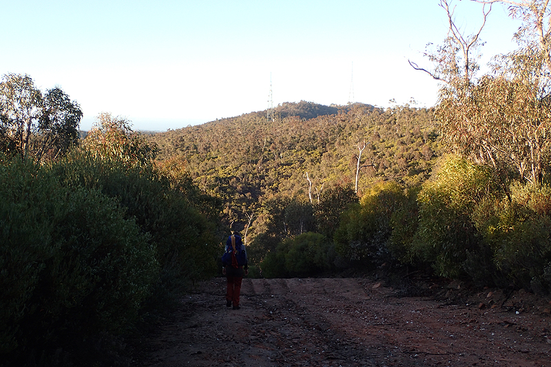
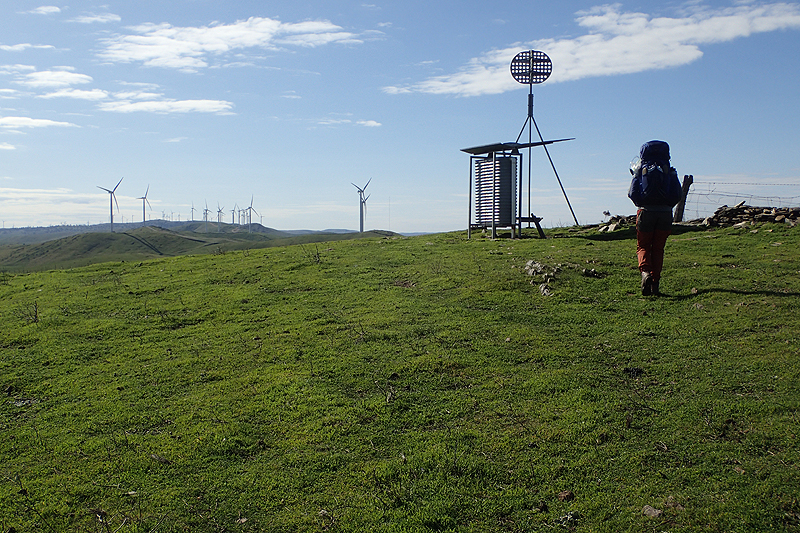
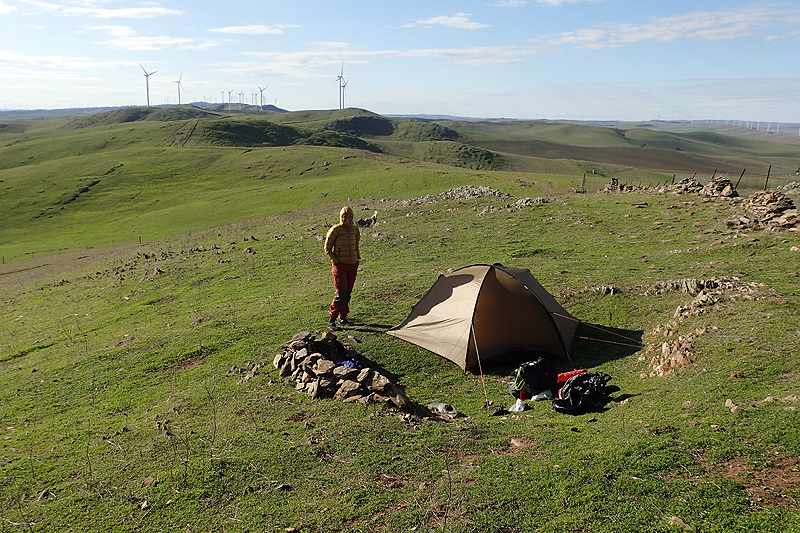
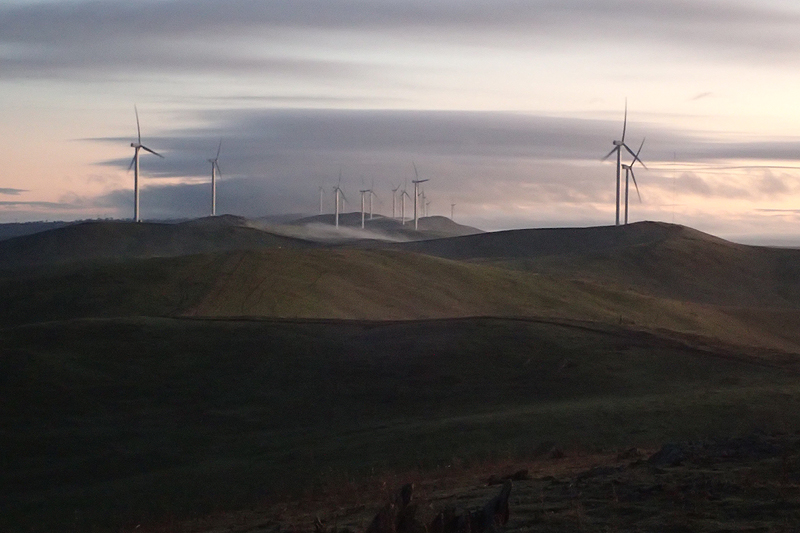
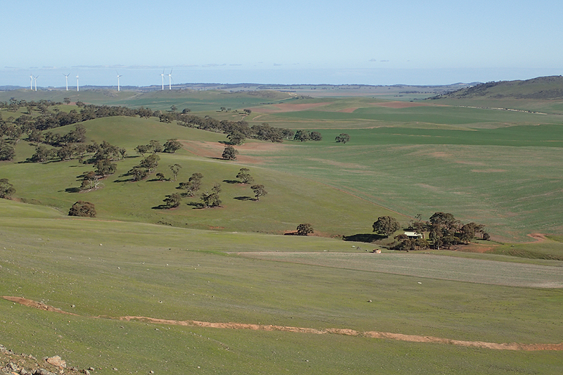
The climb up to Mount Brown was brilliant. On this trail, wherever it overlaps with a popular daywalk, it is so easy. You can just let your feet go without concentrating so hard on the ground! Yesterday if you looked up for a moment to admire the view you ended up arse over face, there was so much to trip you up. It was cold but also misty this morning and freezing on the summit where we had tea and what was to become our new teatime snack; dark fruit cake. We caught our first glimpse of windfarms way in the distance. We climbed down to Catninga Shed where some hikers overnight. Thereafter it was rolling hills, following that fence, up and down, up and down. Sheep staring down at you from up high! Took ages. Great views towards the end but it really dragged by so slowly. There was a cold wind all day and we felt pretty exposed. However, with that sense of exposure came expansive views and they were amazing. You did feel that you could see forever. As we drew near to Hawks Nest walk-in site, we met Shelby, northbound. She was hoping to get to Quorn tomorrow to take the Pitchi-Ritchi train, and had walked from Grays Hut this morning. She wore fabulous earrings! Just after we arrived at the wind battered Hawks Nest site and got our tent up, the rain came down!


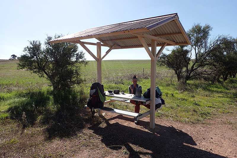
The dawn breaking was a sight to behold today. We had views stretching far inland. The sun rose through thick mist which had oozed across the flatlands below. The walk continued in its up-down fashion, perhaps not as excessively so as yesterday. We came across an unexpected MPP where we of course had lunch! We stopped again at Stony Creek walk-in site which is in a very pretty spot, birds abound. We then climbed up the hill to camp. It was a really cold night and we were pleased not to be in the valley below.

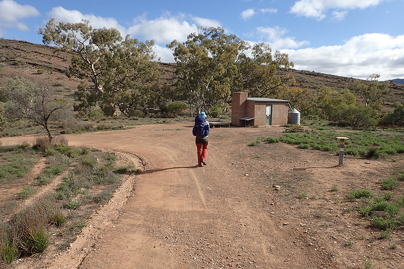
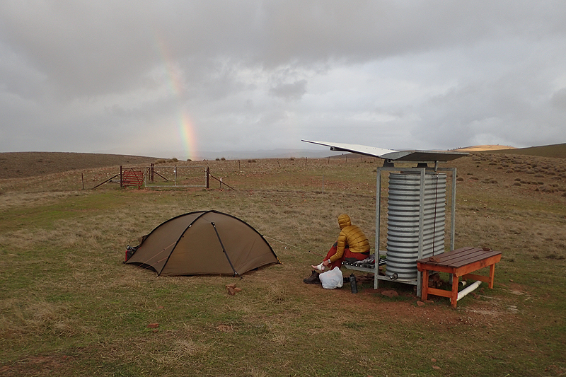
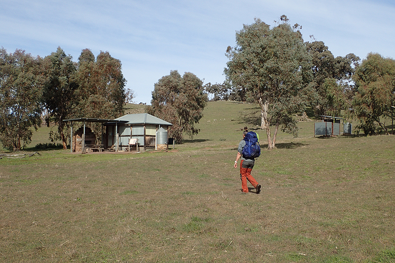
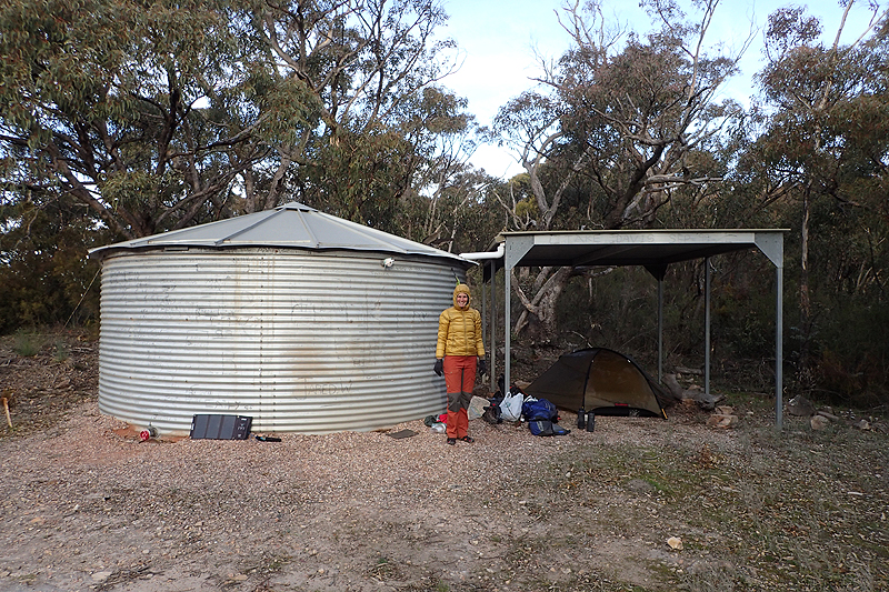
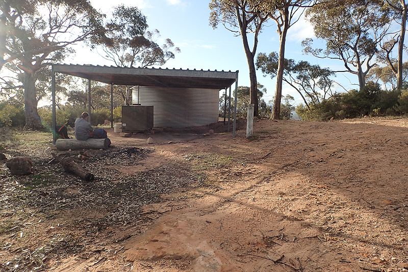
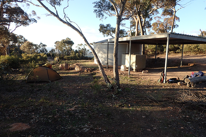
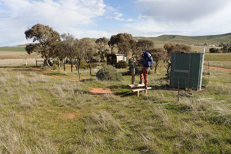
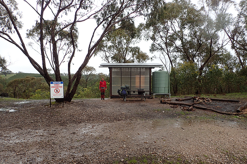
Frost overnight still encrusted grass and plants at 10:30 today. It would have been really cold overnight, it was cold walking. Very cold. There was a bit of road walking today on farmtracks that went up and down and along fencelines that went up and down too! We had a meal at Grays Hut and then hiked up the track to Mount Remarkable where we camped at the old Heysen campsite up there. There is a large firefighting tank with a small shelter. It was protected from the wind. We had carried water up there from Grays Hut as you obviously can't use the firefighting tank water. It was a good night up there.


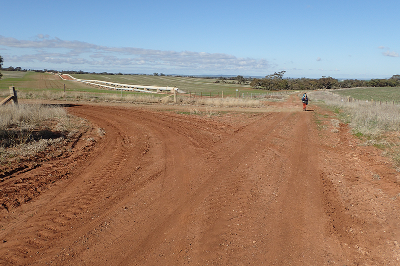
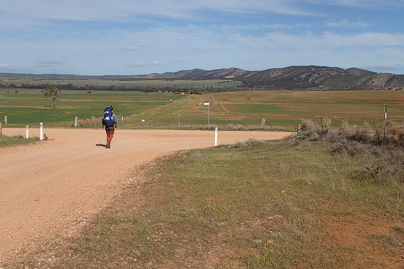
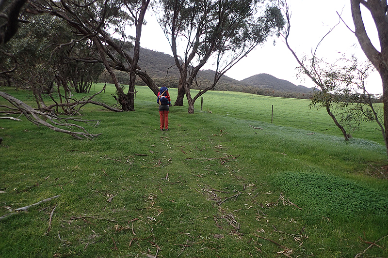
Spectacular sunrise and marvellous views of the land below. The climb down Mt Remarkable was as good as the climb up and then we were in Melrose which was freezing and full of families with little kids, all on bikes; Dad's cycling to pick up cappucino's on the main street. Must make what they paid for their flash bikes and gear worthwhile! We shopped at the supermarket which was fine for resupply to Crystal Brook. It was a lovely walk from there to Murraytown, along the way we experienced our first "road easements" which would become a regular feature of the hike from here on. These are basically corridors of land quarantined from adjacent farmlands that are for public access. They are usually roads or tracks. They uniquely facilitate a thru hike without trying. The Murraytown campsite was perfect and we were encouraged to set our tent up inside the undercover area which was a bonus as the first rain of the trip so far fell overnight! It is amazing that a little dot on the map like Murraytown, without any services has a community group with the energy and enthusiasm to attract visitors to it. Strangely, sleeping on a perfectly clean and polished concrete floor, my Nemo mattress punctured overnight and had to be fixed first thing. The hole was easily found and repaired. I knew it would be all downhill from here.


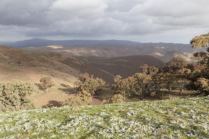
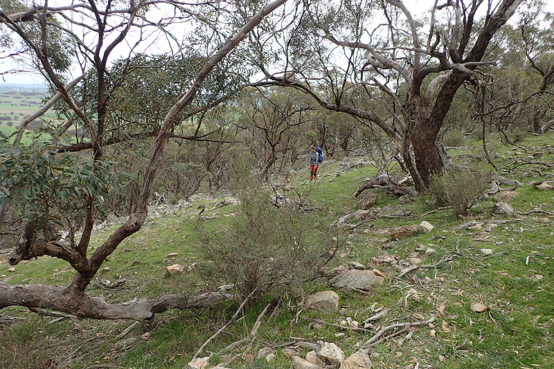
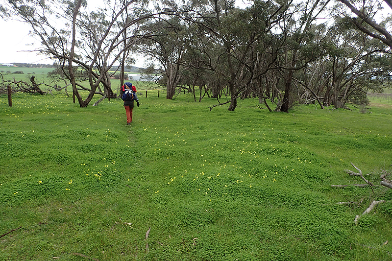
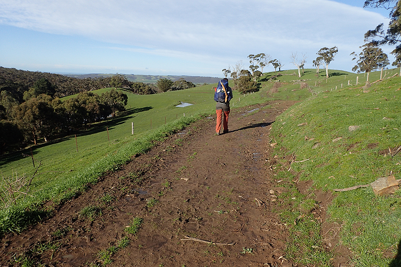
We felt that we came to a right understanding with the trail from this point on. From now everyday just kept getting better. We loved being in farmlands, seeing sheep with their alpaca guarddogs (guardalpacas?) and enjoyed using the little road corridors. We walked through a sheepfarm which was home to a burntout plantation of gum trees. The property was so well cared for and had some day walks established through it. We met a family of three who were busy clearing logs by throwing them downhill to collect into a trailer. The bloke was a wood sculptor and carpenter and the farmer allowed him and his wife to come and clear away the wood for free. He gets nice clear land and they get the wood. Apart from sculpting he also builds furniture and will build cabins for the farmer to set up on the property as eco-tourism. The trees collapsed as a fire raged through here a few years ago and then the area immediately had heavy rain and flooding, and the burnt out trees just fell over. Their lovely young daughter was on hand to help together with their dog. They were great to chat to. The dog and little girl had to have their wits about them to avoid the logs tossed down the hillside. Unfortunately the little dog, Poppy, had a slight limp and scar on one hind leg. "Poppy got rolled," the little girl told me seriously. Sometime after that we entered Wirrabarra Range Conservation Park and this area had a lovely feel to it. Flora of a variety not encountered as yet grew on the rocky slopes, a myriad of colours. We saw deer wandering close by and a lovely river. Quite idyllic. We climbed up through this pretty environment and along the ridgeline were afforded amazing views of the Spencer Gulf and Port Pirie. Go-Cart Shelter is in a pretty exposed spot way up on the ridge and it was cold and windy. We were happy to get into the tent.


Go-cart Track is the name of the track that we spent a lot of time walking on. My, did it go allllll the way up, and alllllll the way down. Repeat. Drove us crazy! Worth following this ridgeline for the amazing views though. It was such a clear morning, you could see the green farmland meet the sea. There was a great lookout at The Bluff which looked quite new. We camped just after Beetaloo walk-in site and a family of goats with teeny kids came to visit us.


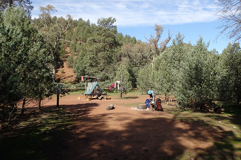
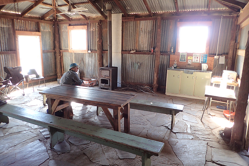
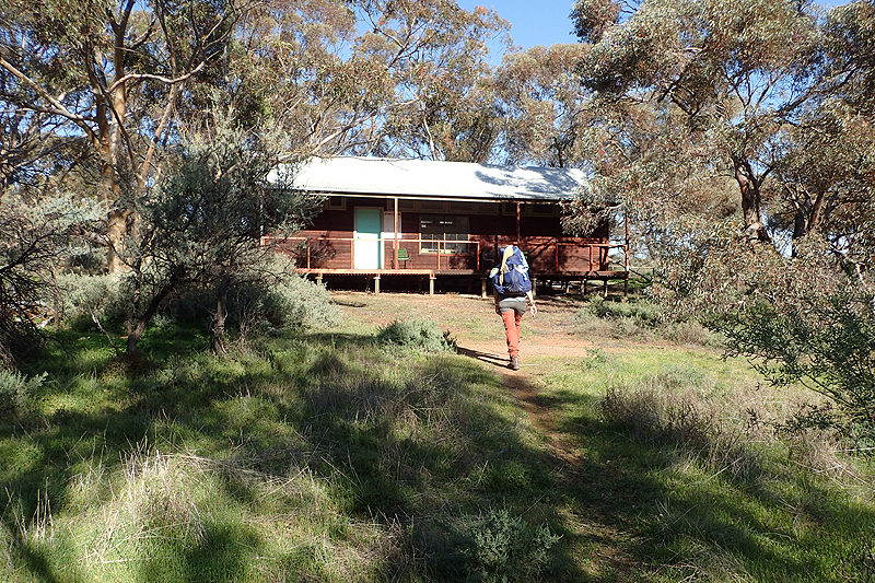
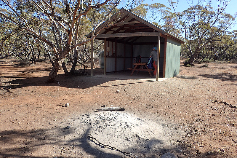
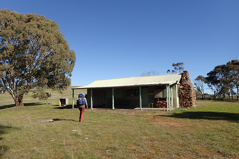
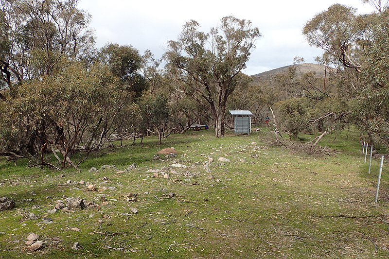
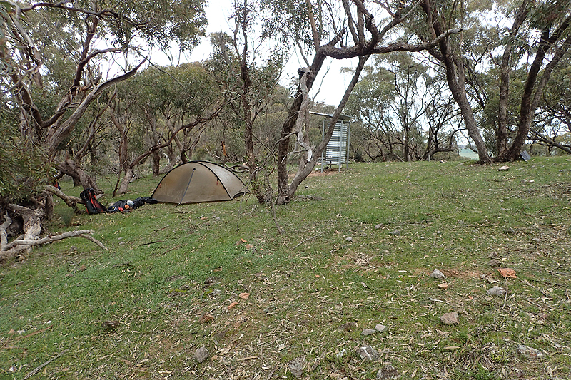
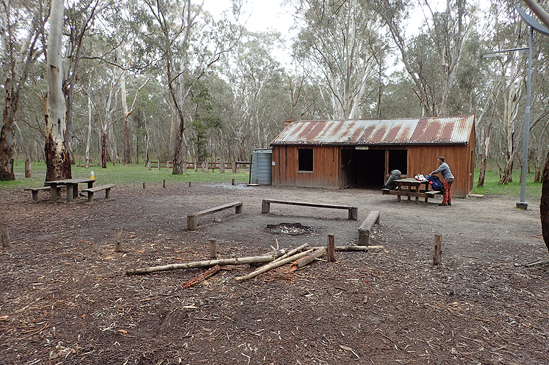
Very cold and clear day and a nice quick walk along farm roads with great views. We loved it! We love looking at the farms and seeing what's going on. We were nicely suprised by a sheltered table and benches for morning tea. Many people complain about this day as it was lengthened due to a trail no longer having permission to access a farmer's valley, so now it runs along the farm roads and is longer. We didn't really mind. We have started seeing these GIANT weeds, they look like thistles on steroids. HUGE! Often in waterways. I think it is due to fertilizer that they grow seemingly unnaturally big. We were at Bowman Hut quite early. We should really be transparent about something here. We appreciate the huts and the facilities they provide, however we don't really care to use them. We are perfectly happy with our tent. If each site had a toilet, water tank with little roof and MPP we would be ecstatic. Huts always equal rodents. Even if they don't, you worry that there will be rodents. And not just in the hut, your gear isn't really safe around the huts either. At Bowman we camped as far away as we could from the building. When we read the log books at the huts though, other hikers really like being indoors. Actually a lot of the time they seem to prefer to be indoors at a pub or hotel and will seemingly walk very long days to avoid using their tents. We call them "pub to pub hikers". Hee hee. Anyhow, I digress. Bowman Hut, Lovely afternoon spent sitting on the verandah in the sun, airing out sleeping bags, etc. The peace was disturbed by three young men staggering out of the bush from the trail. Trail runners, but not the usual sort. These guys, well two of them at least, looked absolutely bloody buggered. They approached us and sort of weaved about on their feet. The more normal looking one asked, "Do you know which way the Heysen Trail goes from here?". Mike pointed. "These guys are running it," he said. "They are aiming to break the record." One of the absolutely buggered guys behind him said, "We started at Parachilna a week ago and we will be at Cape Jervis in a week.". The other said, "I would rather be doing what you are doing." We wished them good luck and off they staggered.
I can't tell you how many times we thought about those blokes and spoke about them over the course of the next 5 weeks. In the end one of them did break the record, 12 days and eight hours. To run from Parachilna to Cape Jervis. They would have run about 95km per day over that terrain. You can't believe that it is possible. Anyway, off they went. Later that night I went to use the toilet. As I lifted the lid my headtorch illuminated a very large rat running around in the unmentionable material below. I think I have proved my point. About the rats.


We were eager to get into Crystal Brook Foodland and had an early start! The food went well from Quorn but last night we had oats for dinner, which is not a bad thing but we had hungry tummies this morning! There is something almost satisfying in planning your resupply for 5-6 days and ending up with pretty much nothing left. It tells you that the weight on day one was correct. Today was an active rest day with such a short walk from the hut and the lovely town of Crystak Brook, most particularly our first Foodland Store did not disappoint. We shopped and then sat in the little memorial park to eat and pack all our resupply food away. It is a beautiful town. We then went back to the campsite and were there early but they did not mind as we were hikers. The manageress even gave us lovely shower soap left behind by other hikers. The facilities were brilliant, with brand new bathrooms and we did laundry and ate a lot. We enjoyed our day and walked back into the town. I like walking passed the houses in these small places and having a look. Almost every garden had an overflowing orange tree.
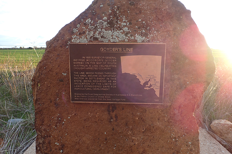
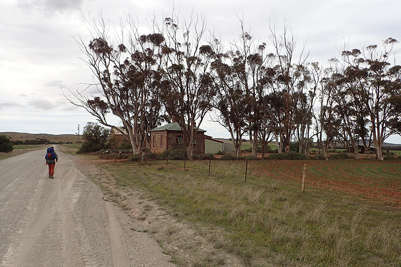
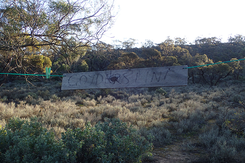
We had a really warm night last night, compared to the -11 deg C that they had had here the night before, which presumably so did we 4 km up the road at Bowman Hut. We knew the reason for this though and we could see it this morning, it looked as if some fairly horrendous weather was on the way. Massive brooding black clouds and high winds. As we walked out back through the town we saw that on the other side is a free RV park with facilities. This would be a good option for hiker campers as well. I think there were even showers there. It was nicely situated in a manicured town park with benches, etc. We left Crystal Brook behind us into the weather. On the road out of town we saw a little memorial and went to have a look. It was a memorial to Goyder. We first learnt about Goyder in Quorn but as the trail progressed we would often reflect upon him. It seems to us that this trail should really be named for him and not Heysen. He was surveyor-general of South Australia in the 1860's. This was a very important position and carried much responsibility. He determined the line of settlement as described by the areas made viable for crop farming by rainfall. This line runs east-west through South Australia, roughly from Murray Bridge to Ceduna. It runs through the area of Crystal Brook.
The line was challenged in the 1860s and '70s due to high rainfall and the old adage "rain follows the plough" and the government backed down allowing cropfarm allottments to be settled north of the line. However it all ended in tears and Goyder was proved right after all. Over the course of our walk we would experience the Goyder Line and its importance first hand and see it in action. He was a very clever man as at the time there were no rainfall records, he used soil types and native vegetation to make his determination.
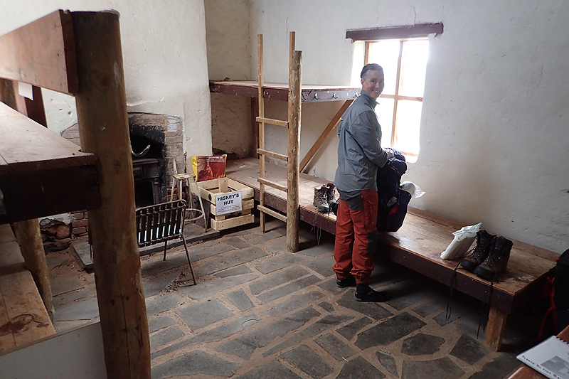
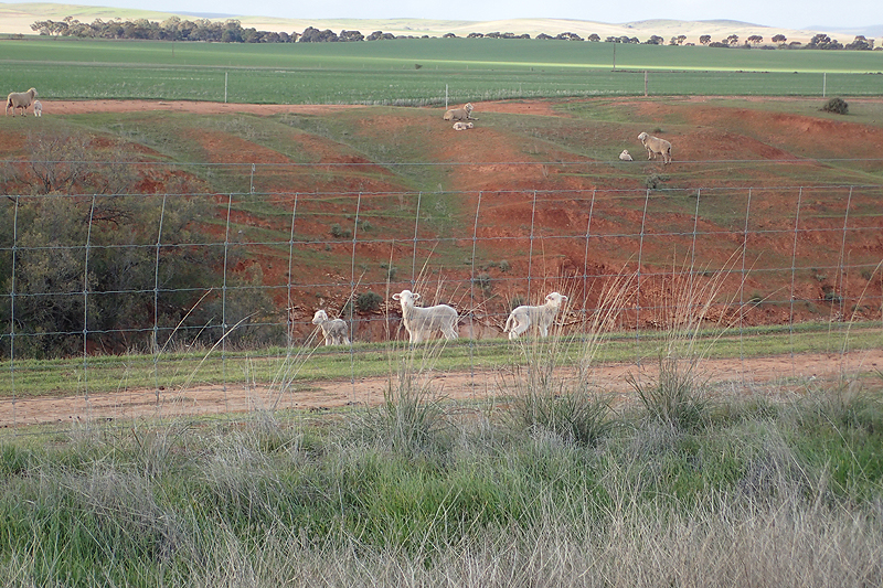
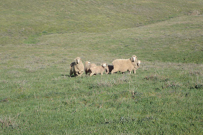
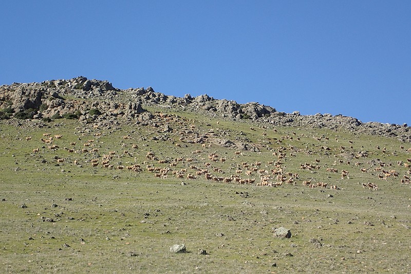
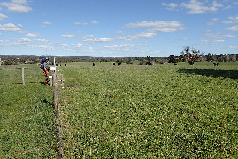
One glance at the sky today would tell you what side of the Line you were on! It was dramatic and we could see rain falling all over as the weather moved through the hills. We remained dry however. The farmlands were now a mix of pastoural and cropping, and herds of sheep grazed all over. We like sheep a lot and we like farms too so this was shaping up as the perfect walk for us. We had lunch at Hiskies Hut set gloriously amounst the green rolling hills. We saw pools of water in river beds for the first time on the trail. After Hiskies Hut it was a short walk to Georgetown. We weren't sure where we would camp there, only that we wanted to shorten the next day when our luck would run out with the weather. We were surpised and impressed to find camping available at the Memorial Park, where there was lush green lawn and a small parking area for vans. Pristine toilets and a shower ($1 a pop for a hot shower, but of course we had no change and no means of getting any, so a cold shower would have to do). Georgetown is only a village with no real services. There is a pub that many Heysen walkers stay at but it seemed closed. Must have opened up later though as we heard tell-tale raucous sounds. We were impressed by the effort made by Georgetown.


All hell broke loose today on the weather front! No hail or sleet, but it rained a lot and the wind gusts were intense. Our walk took us up and over the ridge and then down to Curnows Hut and it was a long and tiring day. The views looking back to Crystal Brook were wonderful. We walked through sheep pastures again and saw firsthand what a "sheep graziers warning" means in practice. Every so often you would pass a tiny dead lamb. We don't know much about farming practices out here, later on in the walk it was much clearer, you would see the areas usually close to the farmhouse or farmbuildings where hay is thickly laid out and there are nurseries of ewes and lambs. Like lambing stations. It might be that these dead lambs were born out on the hills away from a more sheltered spot or maybe the weather was especially harsh. The walk along the ridgetop before descending to Curnows Hut had spectacular views but it was too wet and windy to really enjoy them. When we arrived at the hut a farmer came driving by looking for a particular sheep, so clearly they are very much aware of where their stock are. We had stopped for water at Curnows Hut last year so it was nice to see it again.


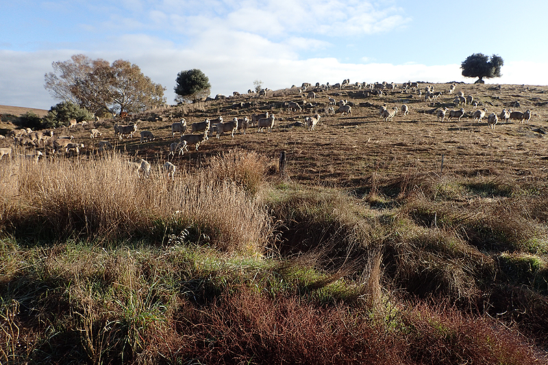
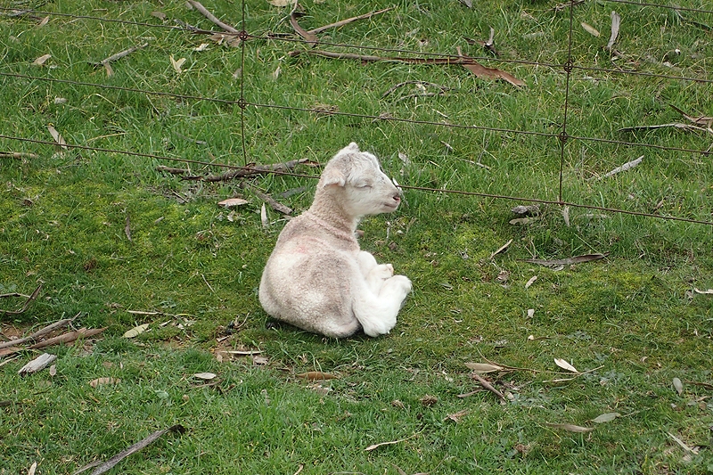
This area around Bundaleer State Forest and Reservoir to Spalding felt like a milestone as last year on the Mawson we made the decision not to go as far as Burra but travelled north from here. That cycle tour took us along the Oodnadatta Track and through Uluru home along the Great Central Road so we had much bigger fish to fry. It was good to be back here and almost impossible to recognise the place. We visited in April last year when it was every shade of brown and there was not a sheep to be seen. Now it was so green and it was a busy time for lambing. Before reaching the reservoir we walked through a beautiful little valley surrounded by grass trees. Clumps of ewes with their lambs hurried away from us as we walked along. Ineveitably a lamb will get seperated from it's mother in the process. When around sheep at this time of year they are constantly vocal, always checking on the babies, so Mum calls out and baby responds, constantly. They all do it. This little one eventually was shrieking for it's mother and trying to latch on to other ewes's nearby who gave it the cold shoulder. My goodness, it was plaintiff. Eventually we crossed into another pasture and left them behind, could still hear it bleating pathetically for ages. No doubt it ended up a statistic.
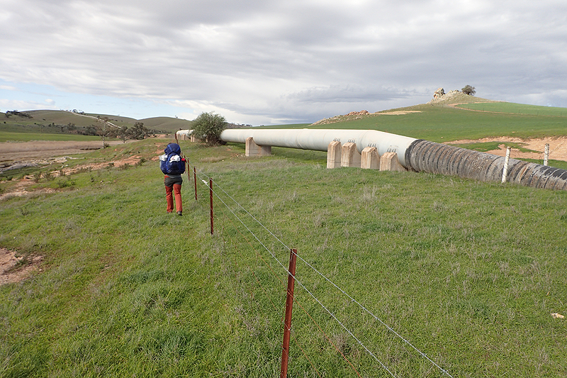
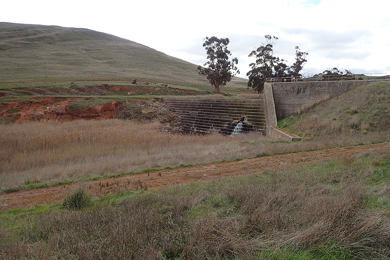
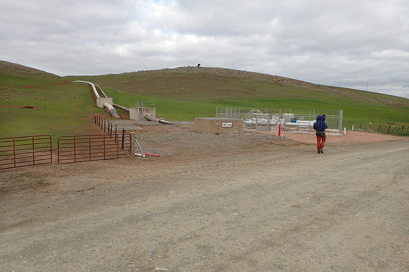
We were met by a feisty bull just near Bundaleer Reservoir walk-in site. Luckily he was on the other side of the deep creek from us, but it was the first time we had ever seen a bull fully gallop! We spent a few hours relaxing at the site. It is a great one - MPP and toilet and in a lovely spot. However one side of it is fringed with river redbeeds and a few rodents were spotted. We had not planned on camping here anyway and enjoyed walking along the old canal and newer water pipeline to the start of the Linear Reserve where we found a good spot to camp.


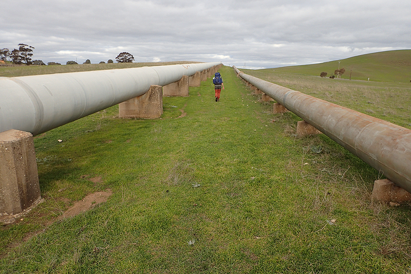
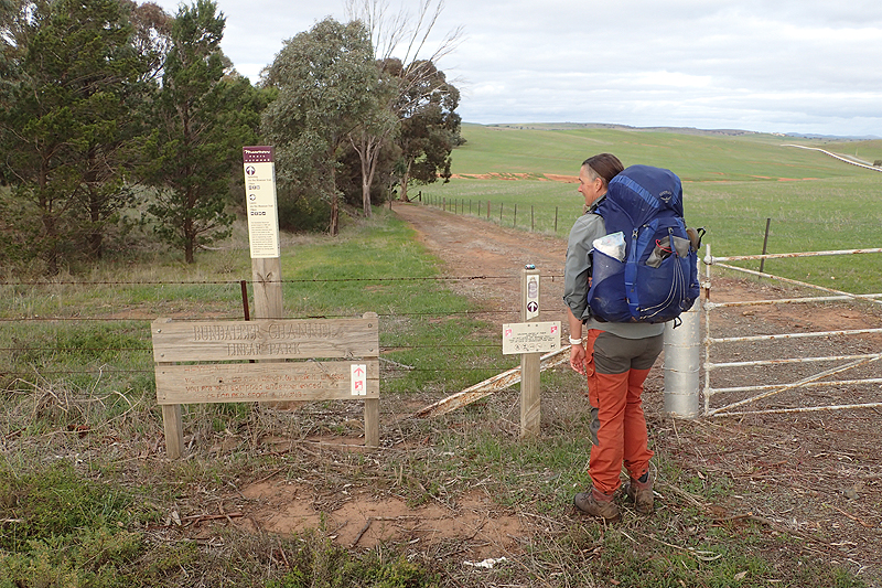
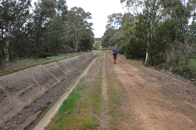

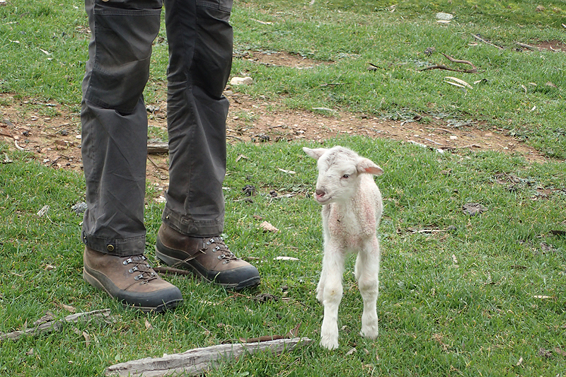
A short walk into Spalding today, we continued along the old canal. We love this route. There is something about old infrustructure like this that just adds interest. Right before the town there was a large area in a paddock given over to lambing and our route went right through it. The lambs were teeny, they might have been born that day, so we stuck to the road to avoid causing chaos. They are really the cutest things to look at. Some of the babies looked pink through their fine wool. Massive ears compared to their bodies! We sat at the same picnic shelter in Spalding we had sat at last year and bought some pies to eat from the general store. We collected a few parcels from the post office, one of which was a food parcel sent from Quorn. The general store at Spalding is not a reliable resupply. You might get away with it if you are on your own, but not if there are two of you. I had also ordered an ankle brace which would be my constant, and in the end very smelly, supportive friend. We walked out of Spalding along the old rail route and into the hills again. It was a pretty walk and we camped once more in the Linear Reserve under some trees. It was a short day but the weather was not great, very cold and windy. We put up the tent and a few minutes later, putting stuff inside you could see literally hundreds of teeny spiders making webs between the tent walls. Opportunism!

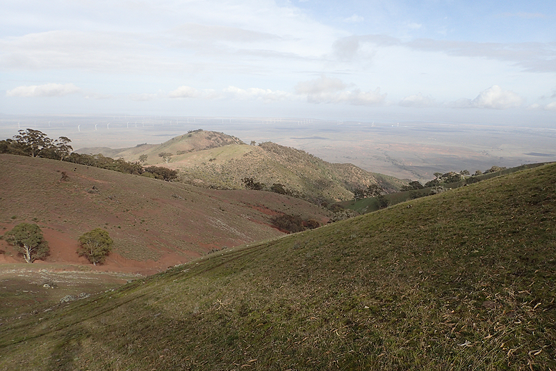
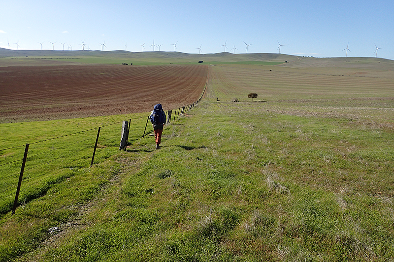
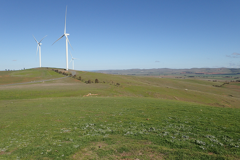
Whistling Trigg Tank - I haven't heard of any hikers yet who look forward to this campsite! As the name suggests, you are likely to be blown away here. The walk to it was great, wide open expansive views of windfarms and sheep farms. We chased a group of 5 rogue sheep to the very end of the Linear Reserve and when we had trapped them at the last gate they seemed completely flummoxed, until they suddenly realised they could backtrack and so fled all the way back in the other direction. We met a lone hiker who had started at Hallett to walk to Parachilna and complained bitterly about Whistling Trig. We were accompanied all the way there by sheep and the wind. We love the sheep for their entertainment value. We came across an upset lamb bleating away at its mother who was having a lie down. Who could blame her? Until Mike noticed that she was kicking her little feet in the air trying to get herself back onto them on the steep hillside. He went over to her and gathered her woolly back under his hands and pushed until she was flipped onto her feet and dashed away to find her baby. Whistling Trig has only a tank, the bench is sort of broken. The views from up there are remarkable. There are stonewalls in this area and on the other side sheep gathered. We walked on a few hundred metres and found that someone had constructed a semi-circular stone wall around a small dip. It was just enough to drop out of the wind a bit and Mike set about putting the tent up in as bombproof a manner as he could, using all guy ropes and pegs, including two very heavy duty pegs we had bought in Quorn. This was why we had them. One problem we had with the tent is that the dust is causing the outer tent zip on my side to fail and so we have tried to stop using it for the meantime and I get in and out through Mike's vestibule. This was helpful in the wind as my side was the windy side. We had a good night up there. The tent did a great job.


The turbines of the windfarms were spinning away as we descended from the ridge. We were to pass by another windfarm on the other side of the valley. It was all road walking today to Hallett with the last bit being into a headwind which was pretty slow. My Nemo mattress had begun failing in multiple places as predicted. It did not puncture again but the seals where the fabric grips together making baffles pull away and air leaks out there. We ordered a replacement Thermarest online during a tea break. We made our way directly to Hallett Heysen site which is the old railway station so it is a very quaint and interesting place on the outskirts of the village. We had no real need to go to the general store or pub and relaxed inside. We pitched our tent between a large screening olive tree and the disused silo. It was windy but otherwise quiet.


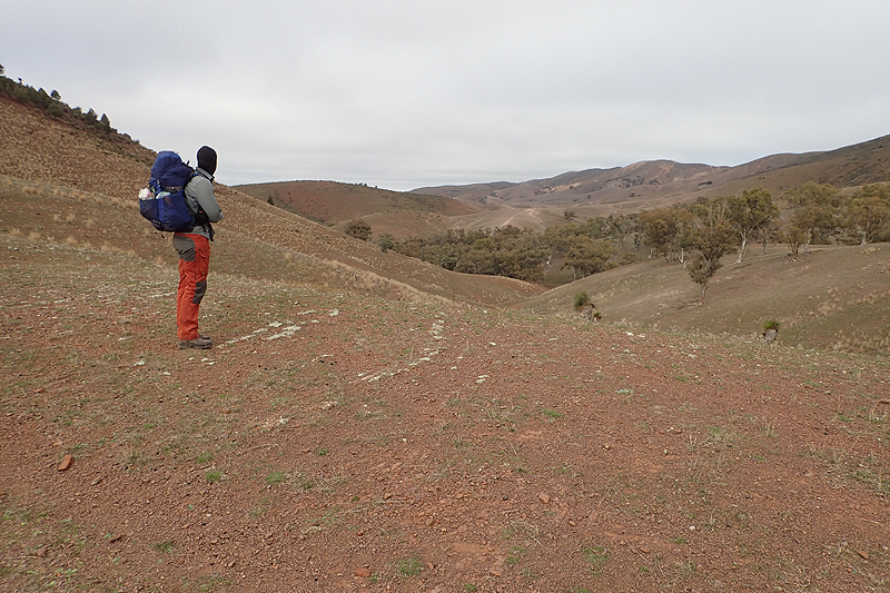
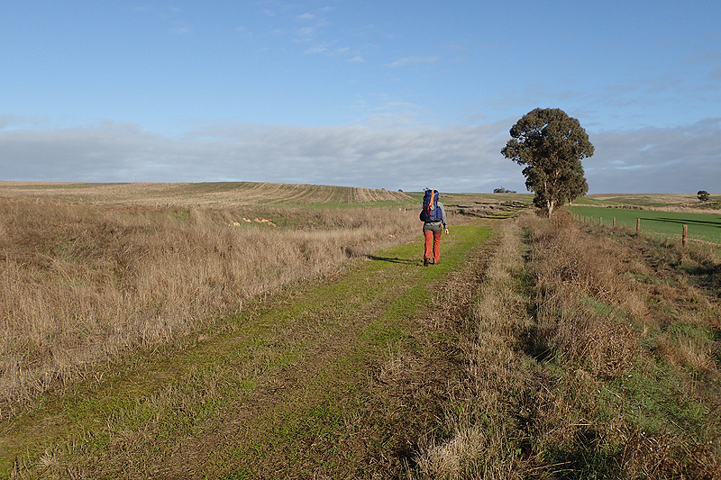
In my mind when planning the hike, I always imagined that the weather would be thrown at us in this section between Spalding and Burra and that was correct. On balance we were quite lucky. We mainly had high wind and this created freezing conditions. A bit of weather is okay though and we didn't mind. We are usually grateful that we aren't cycling into it! Somehow walking is doable no matter the weather, a wind which would be impossible on a bicycle is managable when walking. So it was with the climb up and over Mount Bryan. It was really, really windy. I think the forecast was for gusts to 70 km an hour. We had tea and a second breakfast on top, sheltering behind one of the small sheds up there, and then the quick walk down with the wind behind. The views were outstanding from the top. We have been delighted with how green it is all around, especially when compared with the way it looked here last year. From Mount Bryan you can look far to the east, over the Goyder Line again and you can see the Outback beckoning so close by. Green up to a point and then it just merges into treeless plains of burnt ochre. It is interesting that the council here is called Goyder! After descendidng there was road walking past Mount Bryan East School (a Heysen site) where we stopped for lunch and to rest a little. We then continued towards Touralie Gorge to camp in the Caroona Creek Convservation Park which was beautiful. We collected a few rogue sheep on the way which took off like a shot into the reserve never to be seen again. Unlike the sheep we have been seeing lately on farms around Spalding and Hallett, these crazy Goyder Line sheep are not even shorn. They seem left to their own devices.


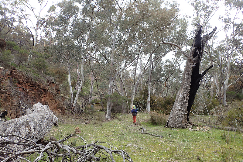
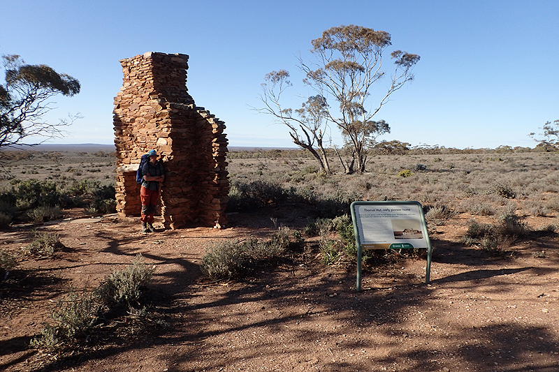
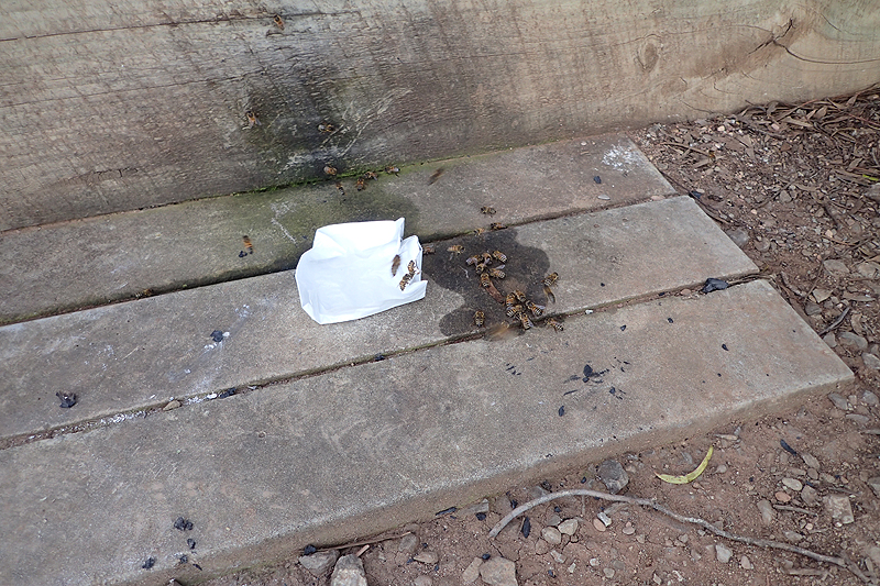
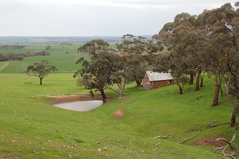
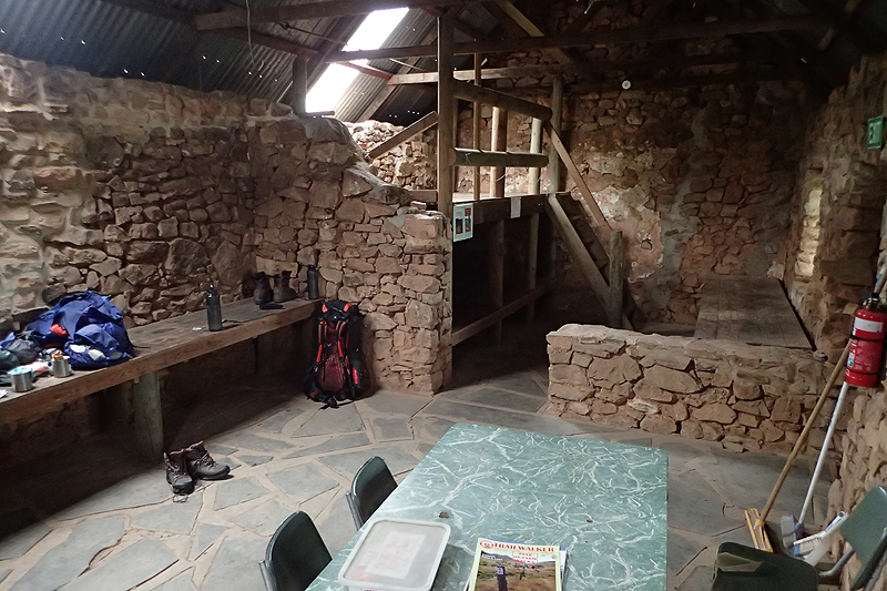
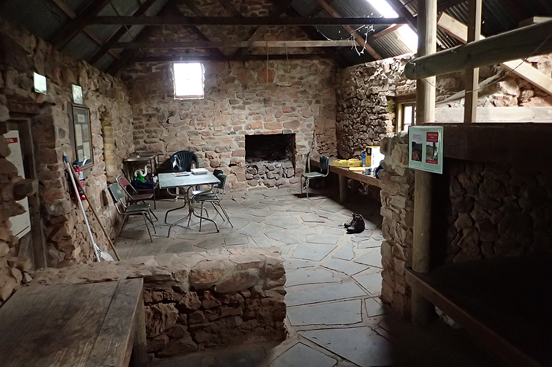
Caroona Creek and especially Touralie Gorge highlight the diversity of this trail. The fact that it swings so far east over the Goyder means that you feel like you are back in the Flinders again, so desolate and remote. Beautiful walking through the little gorge. Brought back memories of all the creek walking we did before Quorn. Touralie Gorge Hut was worth a look. It was just beautiful with its own rain tank to boot! It was exactly like a bothy that you would find in Scotland or Ireland. It is the only hut that we would have felt happy to sleep in. It was a fun walk today with a lot to see. Climbing out of the gorge there is the surviving hearth and chimney of an early pioneer cottage with the story on an information board. Another tale of tough pioneers who established a homestead out here that had to be accessed via the gorge. Usual story, arrived in the 1890's, packed it in after 10 years. Well in this case, they moved to a different part of the area. These people would have had to cope with so much hardship. No going back in those days. We walked on to the next Heysen shelter, Caroona Creek walk-in shelter which was really nice, pretty simple open structure, but new. There were many bees about. The minute you get water from the tank they arrive in droves. They must be able to sense the water. After this it was quite challenging walking to our bushcamp after Oldikie Creek. We felt tired and this was not helped by the extra water we carried. Still, it always feels worth it to camp at a great spot. We were lulled to sleep by the "drumbeat" honking of an emu.


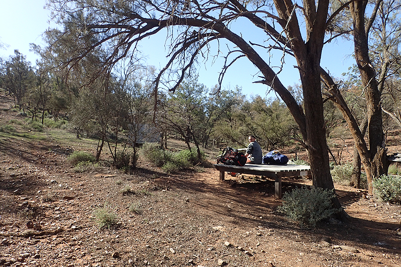
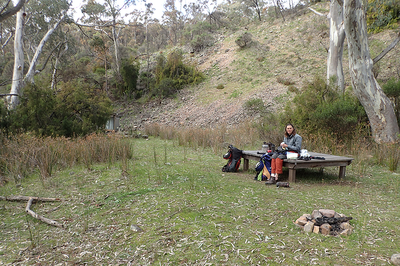
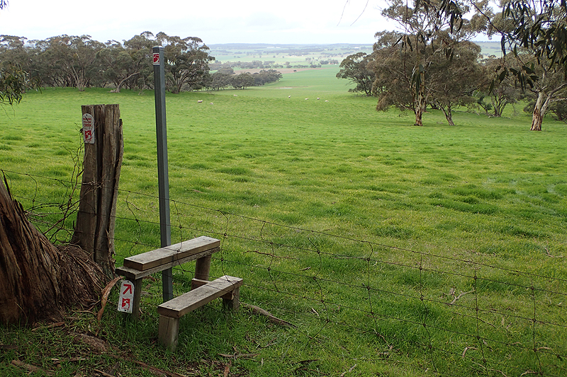
First stop today was Black Jack Hut to repair more leaks in my mattress. Black Jack is a sweet little hut, all enclosed from the elements with bunk beds inside. It has an hilarious toilet in that the walls look as if they exploded. The toilet just sits there, completely in the open with corrugated metal sheets lying all around on the ground. Looks like someone had a massive eruption! The rest of the day was "follow the fence" into the rolling hills towards Burra. I was really tired as we drew close to Wandallah Creek, we could see it in the distance but it took forever to get there. It was such a lovely campsite, fenced off within farmlands with just a small shelter, MPP and toilet. Care has been taken with the flora and many native plants have been planted and tended at the campsite so that what would have been quite bare pasture, is now a native garden. It reminded us of the Danish "shelter" campsites. As bad weather was forecast overnight we put the tent inside the shelter and it just fit. We have been lucky in that we have not had to share any campsite yet. Of course we often camp between sites, but even so, it would be awkward sharing a small site like this one as only one tent can fit under cover. First in, best dressed!


Amazing walk into Burra over rolling hills, some crazy hills, through mist, wind, cloud and rain! We met Matt, a thruhiker northbound who was just leaving Burra as we arrived. Burra is a lovely town and the campsite was okay but busy. It was still very cold at midday when we arrived. The stone buidings in the town lend a lot of character and the history has been preserved. It all centres around a creek and everything was very green and pretty. Burra is also the halfway mark for us on this walk. We collected my new Thermarest mattress we had ordered just before Hallett. That mattress was supposed to be for me, but then something crazy happened in Hallett. Mike's mattress started delaminating and as we have had this happen before we knew it would end up in a massive bubble under the surface and be unsusable, so he had not been putting much air into it. Suddenly my Nemo was promoted to the better of the two! He scored the new Thermarest and we ordered another one for me to be delivered to Tanunda. I had to be very nice to my Nemo for another week to ensure it lasted!


We camped near to the camper's kitchen and of course ate up a storm while we were there. There was a family of 4 kids who camped next to the camper's kitchen and we were very relieved to see them go on the morning of the rest day. It was exhausting just listening to it all. As always, the rest day was appreciated. We tried to fix the zip on the tent outer but made it worse. Then Mike did some reserach and Hilleberg advise that it is very common for zip sliders to wear out and they explain how to replace them. We placed a couple of online orders, including a pack of sliders from a supplier TierGear in Tasmania. You just need to check the number slider on the existing zip. Obviously Hilleberg uses YKK. So we will have those delivered to Tanunda as well. This was a good lesson for us as we had not realised that sliders are so easiliy relaced.
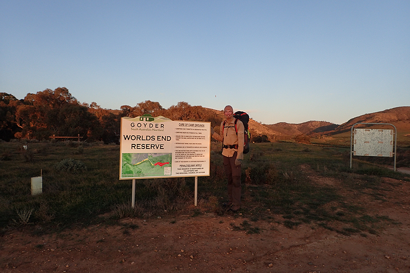
Really easy walk to World's End, along the edge of the Goyder all the way with views of Bald Hills. The walk-in site is just in the edge of a farmer's field but about 1 km further on you walk through the Worlds End Reserve with lovely campsites, bins and toilets but no water. We were happy camping at the walk-in site but were also impressed with the drive in campsite when we walked through it the next day. It was quiet at this time of year.

Beautiful walking today through reserves, farmland, passed water pipelines and up and over small hill ranges with great views. Everything so green. The walk gets better every day. We had a coffee break on top of some hills with an amazing view of the farmlands below. Shortly after setting off we met a northbound thruhiker from New Zealand who was walking 30 km days but did not recommend this as he spent all day walking and then it was bedtime. If you are on your own the temptation is just to keep going. He was a short man and as is always the case you sort of check out the other person's set up. He saw me doing this and said proudly, "4kg base weight!". We spent the rest of the day trying to work out how a pack, tent, cooking equipment, all your clothing and sleeping equipment can weight only 4 kg! There was a steep climb up the ridge and down the other side to Huppatz Hut. The weather was lovely today and we set up our tent in the grass behind the hut and relaxed. We enjoyed the walking a lot and were entertained by many sheep who we could hear calling to each other along the ridgeline.


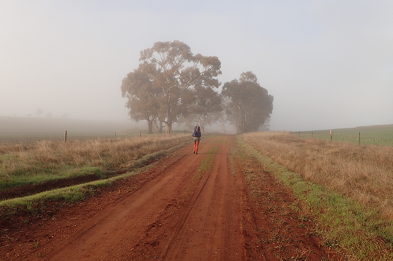
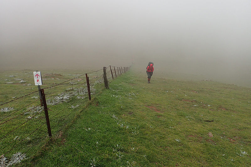
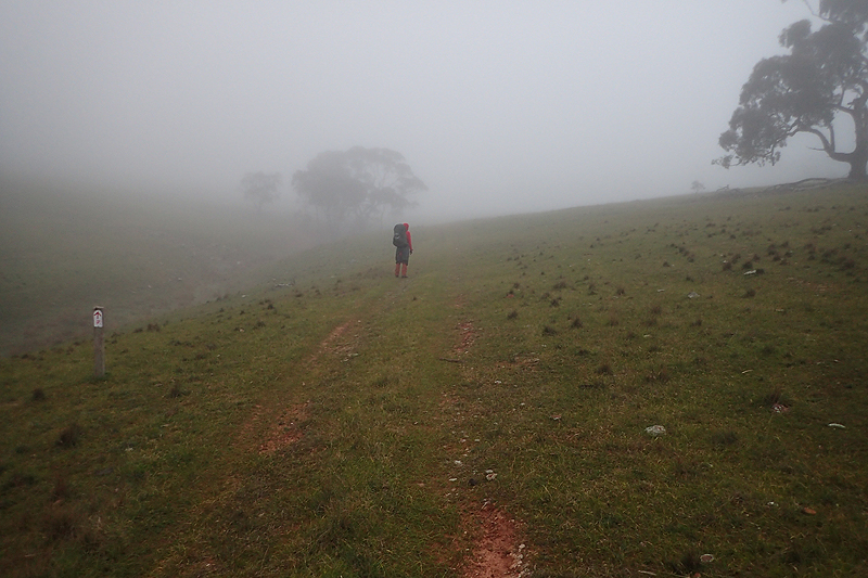
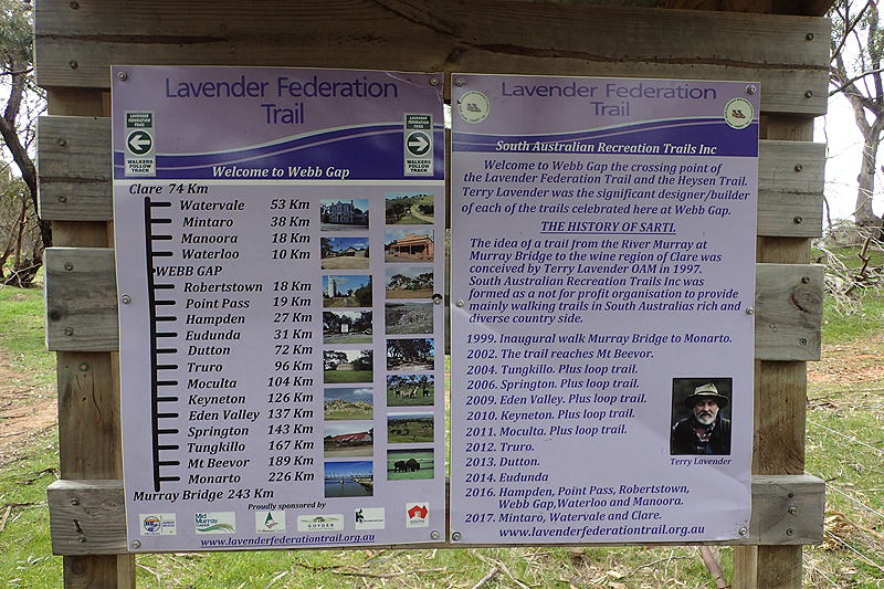
Waking at 05:30 as usual we couldn't believe it when we found ourselves and our campsite and everything enveloped in thick mist. You could only see a few metres in to either side. It was crazy after the beautiful day yesterday. We set off in raingear as the mist would make us wet. It cleared after a while. Once again a combination of farmer's fields and bushland areas as we made our way to Web Gap. As we got to the track which leads to Web Gap the Heysen intersects with the Lavendar Trail which was pretty cool. Web Gap was not ideal for camping as there was not a level spot to be had apart from the MPP and we did not really want to pitch on that. So we both spent the night sort of sliding down in the tent and having to claw our way back up again. It was also a very windy spot and probably would have been best to pick up water and walk down the other side to a road easement to camp.

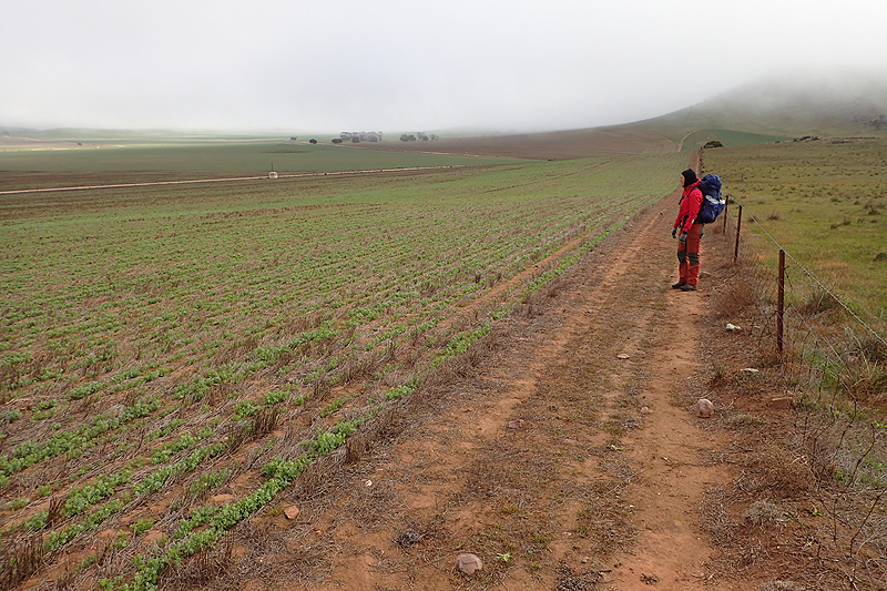

Walking through a field of sheep next morning, a teeny lamb sleeping next to the fence took a fancy to Mike and decided that he was a useful substitute mother. Mother was nowhere to be seen. You see this alot, the ewe leaves its lamb to sleep and goes off eating and socialising, but will always go back to the baby. So there is a bit of independence there. Sometimes though, you will see a dead ewe and then probably the baby just has to fend for itself as another ewe will not adopt it. This cute one followed after us bleating hopefully. We escaped over the next stile. These tiny lambs really play on one's heartstrings, but it is impossible to help.
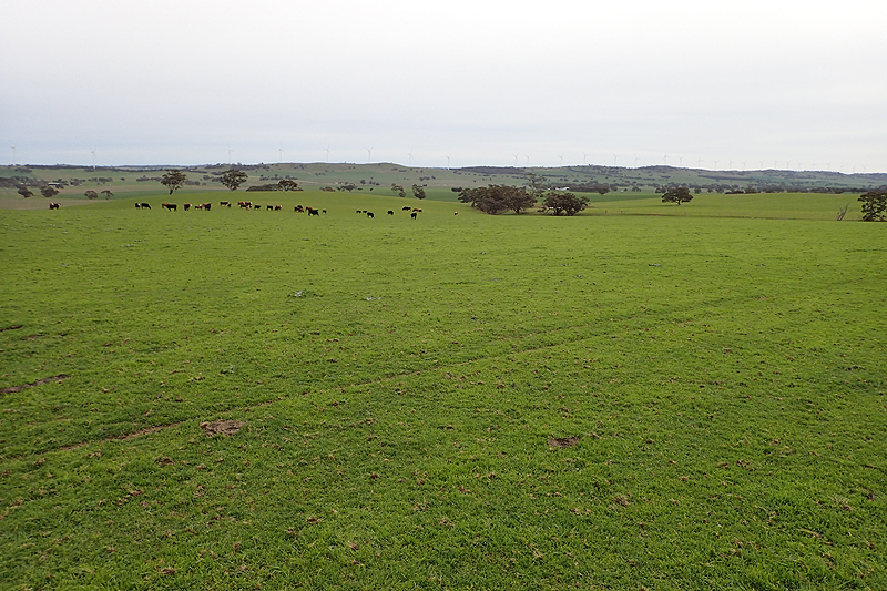
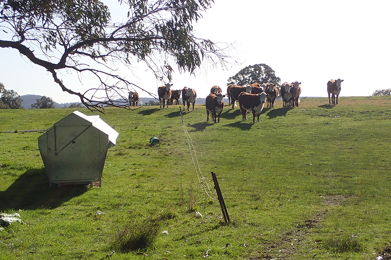
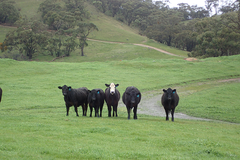
Great excitement to see our first herds of cows. This is an indication that the landscape is changing and flattening out as cows are not farmed in as hilly an area as sheep are. We are really just enjoying the walk each day and picked up water at Smith Hill, eventually stopping to camp along Aunt Sues Road. A ewe and her lamb had escaped from the rest of the herd and were rushing up and down the fence along the road easement to try to find their way back in. Eventually they gave up and stood watching us setting up our tent. Then they just lay down and went to sleep. They seemed pretty content with us being there.

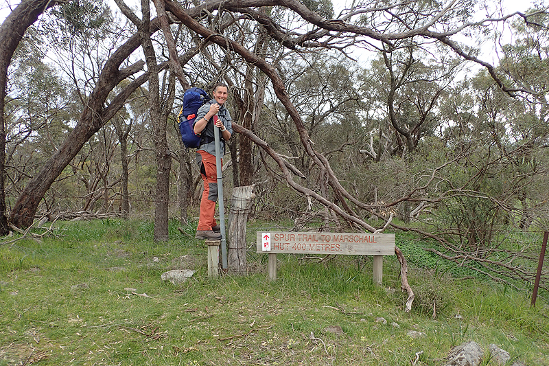
Track walking again today through farmland. It is very peaceful walking across farmland and we enjoyed it. First stop was Marabel where there is a Heysen site at the rodeo ground. Tiny village with a beautiful memorial park which tells the history of the area with a tiled artwork. These villages always surprise with the effort they go to. There was an electric power point at the park too. It was a pretty blustery day and we did not know when the rain would arrive. Luckily for us it hit hard when we were safely inside Marschalls Hut where we stopped for lunch. We spent a bit of time there as the rain hammered the roof. It was a lovely hut. We then walked on, our route crossing the Mawson Trail which we rode last year. We camped on a road easement and as usual were amused by sheep antics. There was a flock of sheep on one side of the fence and of course a lamb on the other side who was running up and down, up and down, trying to find away to get back to its flock. We witnessed time and again that a sheep or lamb or group of sheep would somehow get through a hole in a fence or something and then they cannot figure out how they did it so can't get back. Anyway, lamb was running up and down the fenceline which was a way away from us through the centre of the paddock. The rest of the flock stood on the other side making encouraging noises. Eventually Mike could not stand it any longer and hopped the fence, walking towards the lamb expecting he would try to pick it up and toss it over the fence. Well, the lamb got such a fright that he miraculously squeezed his way through the fence in an instant. Who knew that only a little motivation would solve the problem! We then watched another sheep crisis underway. The flock of sheep was milling around in one paddock. Adjoining it was another paddock with the gate in between open. A larger flock came over the hill and got to the open gate, but then they just did not know what to do. They seemed reluctant to go through the open gate and a few of them tried but sort of froze at the last moment. Until one brave ewe walked up to the opening with her lamb and then leapt through the opening, giving a joyous little twist as her hooves left the ground just at the opening. It was as if she feared that at the last moment a fence would appear to trap her, or the gate would jump out and grab her. It was so funny. We love sheep but suspect that they are very stupid.


We inched towards Kapunda through busy farmlands. There was an unexpected detour today with access through a farm being removed due to biosecurity risks. I got electrocuted by a farm fence, it's a wonder it hasn't happened sooner. My hand brushed the wire and it just felt as if it had been hit hard with something very heavy. I lived to tell the tale. We had a long rest at Lights Hummock Heysen site. Walking down from it we went by the exact spot where we had camped last year when access to this site was closed as the trail was not open for the year yet. We crossed a lot of farmland after this and worried about finding a place to camp, but from the vantage point offered by the farmlands we could see the road below where we could pitch the tent between some large bushes. Perfect campsite. A local famer drove passed and gave us a wave. We camped a few kilometres short of Kapunda.


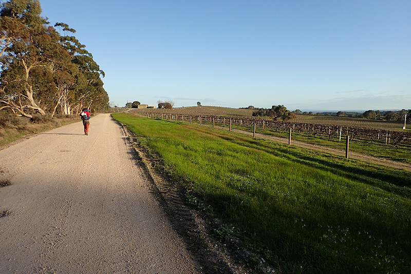
Kapunda has a Subway so that was amazing. We each had a footlong for breakfast and took one to go. We also ate pies at the local bakery. We did a bit of a resupply at the local, impressive Foodland. We would reach Tanunda tomorrow but bought a lot of food anyway. The load on our backs leaving Kapunda was quite heavy! On the medical front of course it is always good to have a pharmacy to visit! The cold, dry weather had caused chafing on the backs of my legs. I had purchased a small tube of lanolin in Burra as a barrier cream and had just finished it so picked up three more small tubes. It is amazing what this dry climate does to your skin. I ended up smearing lanolin everywhere, legs, hands, face. Mike has done the same on his little frost bitten cheeks. The sheep no longer look twice at us. We wear wool clothing and lanolin is our cosmetic of choice so I would guess we smell just like one. We saw vineyards today for the first time and almost beat the rain into Greenock, nearly running for the last couple of kilometers! The Greenoakc Oval was a nice place to camp. We met Stephanie, a northbound thru hiker and there was another couple of thruhikers as well. Zac, who hailed from Tasmania but was working as a pruner in the vineyards chatted to me as he was also planning on hiking the Heysen later in the year.


It was a windy night and when I saw Stephanie this morning she said that the wind had proved too much for her tent and she had ended up sleeping in the undercover area. Out tent had been fine. Solo hikers have big decisions to make when it comes to tents. We are philosophical about weight. What is 800g when you can't sleep and your tent is collapsing on your head at night? It's a funny thing, weight. It's mostly mental I think. I don't even think about it now, I always carry a kilogram of sugar, because running out of sugar for your porridge or tea is worse than carrying a kilogram of sugar. Some people did not even want a tent that weighs a kilogram.
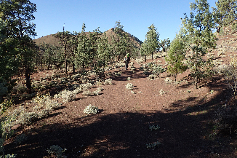
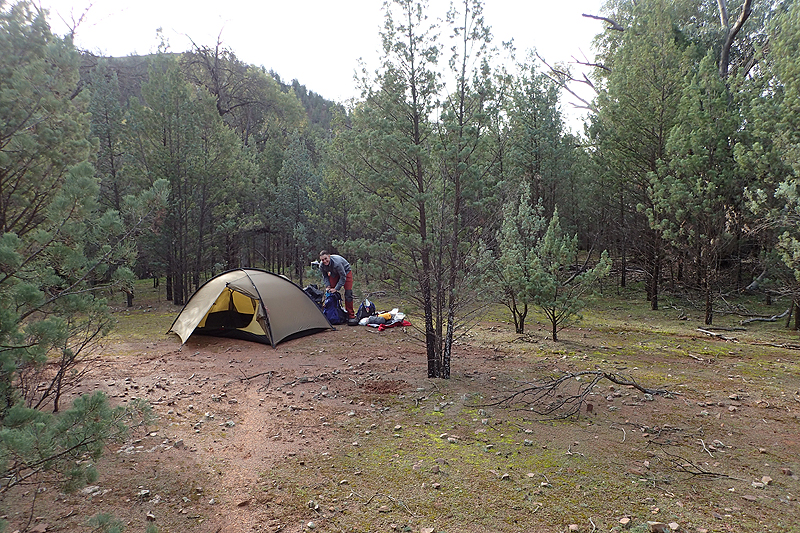
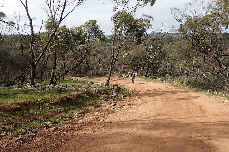
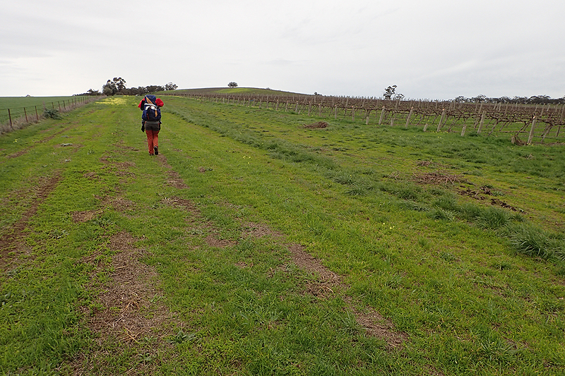
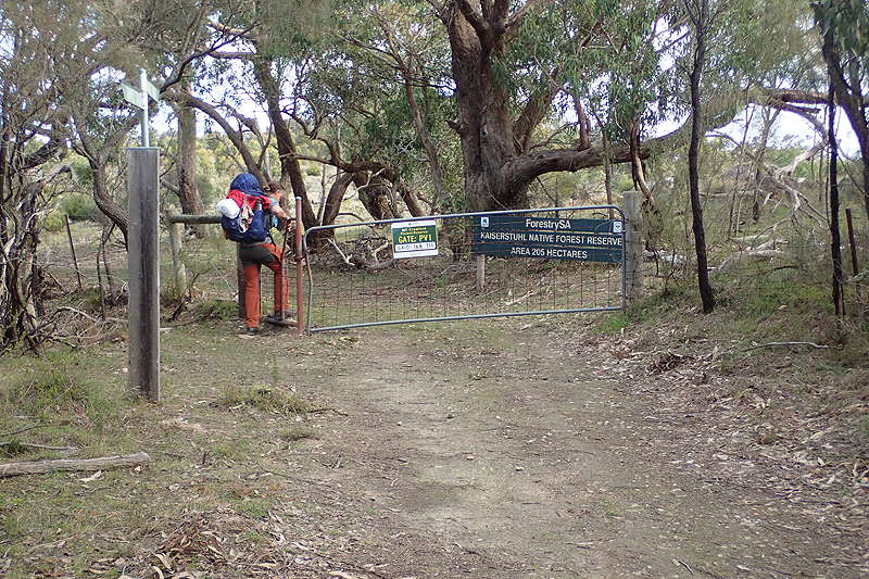
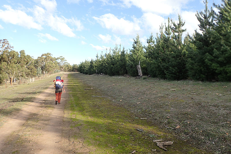
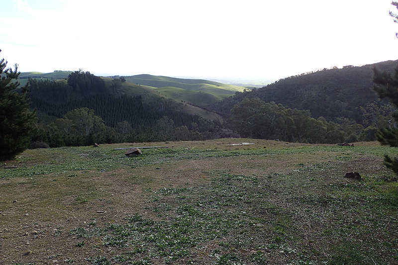
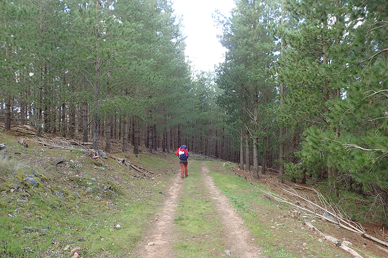
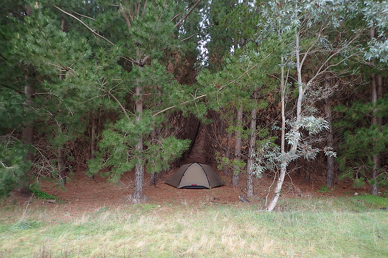
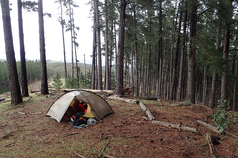
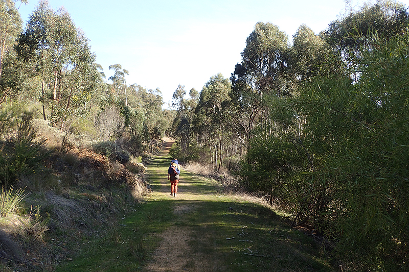
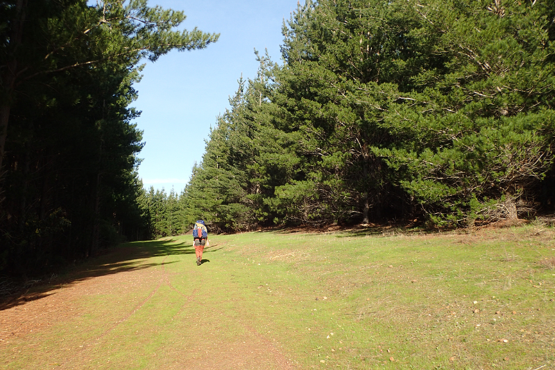
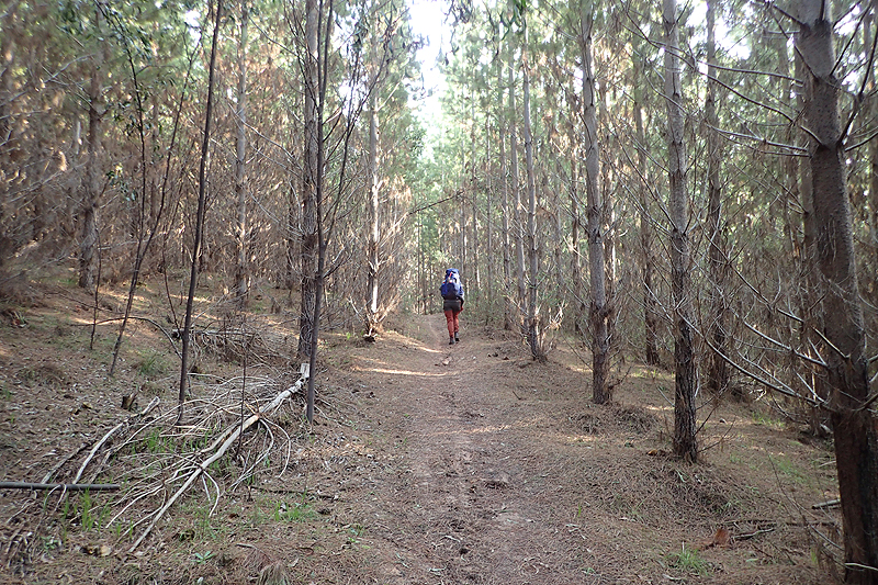
We entered the Barossa Valley proper today and vinehards abounded in all their naked glory. We saw many people pruning the vines in readiness for spring. We chatted to a vineyard owner who was walking his dog along his property fenceline. Everyone says the same thing, that their rain tanks are full this year. There has been a lot of rain. It all looks beautiful. You can understand how a few good rain years would have lulled those first settlers into a false sense of security. We collected our new zip sliders and my new mattress in Tanunda, resupplied and relaxed in the sun for a couple of hours eating and packing on a field near the old railway. Tanunda looks a nice town. We had a big resupply as Bridgetown was a long way away, 5-6 days. The climb out of Tanunda is not to be trifled with, especially when you are carriyng such luxuries as fruit cake! It was a big, beautiful climb with Tanunda and indeed the whole Barossa Valley laid out beneath us. We walked through Kaiserstuhl Conservation Area and into the SA Forestry pine plantation where Rossiters Hut is. We camped a few kilometers after it. We love the pine forests, we always feel at home in them.


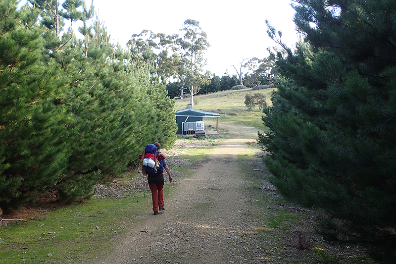
Another day in which we would bring back the past. Last year we spent our first night out of Adelaide at Centennial Drive campsite. The weather was quite harsh today. Very high winds which can wear you down. The positives: we caught our first glimpse of Adelaide from the top of a hill, we passed a herd of hairy cows, a herd of herefords wanted to walk with us and we enjoyed walking though the pine forests, sometimes having to take shelter under their branches due to rain. It was quite an early day though and as we sheltered from the heavy downpours at Centennial Drive, we replaced the slider on the tricky zip and now it works perfectly! We pitched our tent beneath the pine trees as there were a number of storm wwarnings, and the tent would be happiest there!


We always knew that we would have wet weather around Adelaide and so one wet day after another was not a surprise. It wasn't wet all day though and the rain wasn't heavy today. It was perfect yesterday having the shelter for a few hours. Today we were headed for Scotts Shelter. We met three walkers from Adelaide who had completed all stages from the south up to here. They had only good thngs to say about the upcoming walks into Adelaide but we were not so sure about it. After Scotts Shelter the Heysen specific sites "dry up" and hikers are left to solve their accommodation problems on their own until Rocky Creek walk-in site. There was some lovely walking along a trail through a conservation park. The pathways are often very slippery from moss and damp and we walk very carefully. We hit a wooden boardwalk without any chickenwire nailed to the surface to help prevent slipping as wood becomes very slimy in the wet. I should have been more wary of this but before I knew it I was sliding along it on my arse, and Mike who was just behind had no choice but to join me. When I stood up there was blood streaming from somewhere and I had cut my hand badly along the base of my left index finger just near the thumb. Some urgent first aid was required and I would end up having to really look after this cut for about 10 days. Such a tricky place to have a cut as I am left handed and we are always packing and unpacking and shoving things with a lot of force into hikng bags, etc. Scotts Shelter offered little in the way of level campspots so we backtracked a little to camp in the forest. It is nice to have the shelter to have breakfast and tea in while it rained, but again we wouldn't sleep in it.
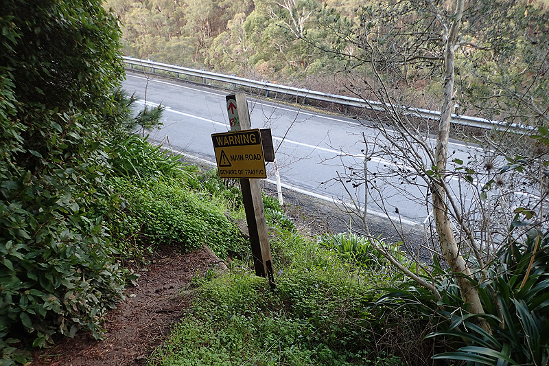
Big event today was Cudlee Creek which feels like you read about it a lot. The walking was pretty tough with some strange road walking along the shoulders of bitumen roads which felt like lazy trail planning and unsafe, particularly arriving in Cudlee Creek itself. You come into the settlement along a bush path and that leads you to think you will have a pedestrian bridge over the creek, but in fact the trail takes you onto to the bitumen road and has you cross the creek on the road bridge which is on a blind bend and has no - ZERO - shoulder. We are cycle tourists and used to being squeezed to the edges of things, but even we felt very unsafe in this situation. You have to walk a few 100 metres and the speed limit might be 60 km and hour or more. If two vehicles came in opposite directions at once it could be dangerous. If a car came along towing a caravan in might be deadly. It is a very, very poor show by the "designer" of the trail. I use that term loosely. Anyway, we survived and the walk wound very prettily along the creek where we started to see the glorious blooms of cold weather plants that the Adelaide Hills are known for. We had our meal at Grandad's Camp and made our way to Kangaroo Creek where we would camp. We met a nortbound thruhiker from Queensland who complained about the cold weather and the amount of time the trail spent in farmlands. We were able to tell her that she would probably be able to fit into the tiny cubby house at Grandad's Camp and get out of the rain, however we sort of fell silent about the paddocks. If she didn't like them by now, she was in for a rude awakening. We enjoyed our campsite at Kangaroo Creek. We cannot believe the amount of water around, it is just running everywhere!


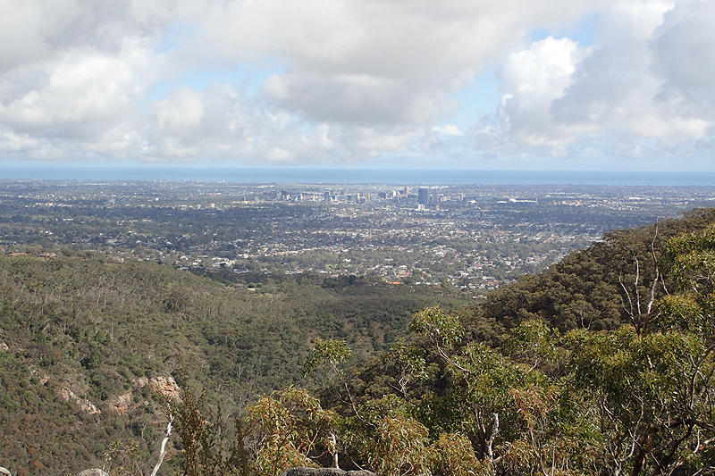
The firetrail walking continued today, as did the pine plantations and steep ascents and descents. These are the Mount Lofty Ranges after all. We have started to spend alot of time now walking in valleys alongside gushing creeks and don't really like it. We would prefer to be up high. These valley's are gloomy and wet. As they get little sunlight they are often slimey and mossy underfoot and the slip hazards are many. There was one climb in particular up a clay track and we were often on all fours. It was really steep, and really slimy. How a person would walk down it we didn't know. Not long after we met a northbound walker and so we guess she would have found out if it was possible or not! Maybe it's just one slip and then you're at the bottom! We were dreading this section through Morialta Falls and Norton Summit. The trail culture did change and it never really got restored after this. The remoteness of the trail was lost as we joined the well-trodden daytripper paths near the city. It felt as if it would be best to end the hike in Adelaide. Morialta Falls Conservation Park was impressive and of course the waterfalls were gushing. It was Sunday and a perfect weather day, so pretty busy with city folk. One bloke asked as he passed, "End-to-enders or training?". We laughed, and thought we must look better than we feel if he thought we were potentially only training! We did have a lovely break at a view site which provided endless views of the city and coastline on the perfectly clear day.
We got to Norton Summit eventually and had a rest in the little park with a cup of tea. It had been a long day. It felt very long for me as this was the only day on the trail where I really took strain. I just did not feel like walking today. But as I told Mike, if you only have one day like that in a two month hike, you are doing well. We camped along the track in Giles Conservation Park. As we lay in the tent in the dark we heard a wild pig snorting nearby. This continued until it was obvious that there was more than one, and also that they were right at our tent. When we looked outside and shone our headtorches though, there was nothing there. We were lying there wondering about wild pigs, until the penny dropped, "They are koalas!" How exciting. This is how they behave, they walk along the ground at night and climb up into other trees. The sound was fearsome! You would not want to trifle with these things. We had often looked in trees for koalas as we walked along, but had not seen any. I wondered if they may be in the trees in the gully below.

They were! That is, the koalas were sleeping in the trees below us! We set off and climbed down into the gully on the track and found ourselves almost eye level with the little furry grey bums of koalas. There were many, each in their own tree. It was very cute. We could not believe the teeny little twigs that they could lean against and just slumber on. They looked a little damp. One or two were asleep, but others were awake and didn't seem to mind us being there. It was a real highlight to see the koalas. Our walk took us over Mount Lofty and through the botanical gardens. The gardens were fabulous. Really quiet and peaceful. We sat for a while at a table and benches just on our own. With no other formal campsites available, we camped just before Bridgetown in a fairly busy spot for dogwalkers. No one seemed to mind.

The walk into Bridgetown was pretty wet with pools of water everywhere. We were at the supermarket by 07:00. We resupplied and then sat at the picnic area nearby to eat and pack. It was clear, and very cold. It was an enjoyable walk along roads and farmlands today and the weather was pretty good. It was nice to be leaving the Adelaide area. The Heysen walk-in site was in a pine plantation so we loved that. We pitched our tent by a picnic table which felt like luxury. It was fun to have a pit toilet with electric light!


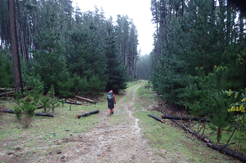
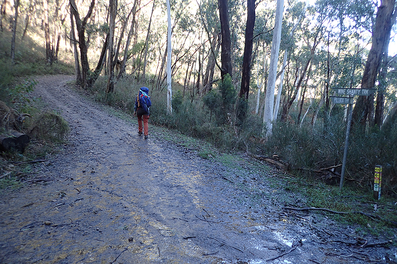
It was a rainy morning and so we took advantage of the undercover area adjacent to the hut to pack and have brekky. It was a rainy day and also a day interrupted by a strange and confusing reroute which was badly signposted and never explained. This was through a SA Forestry plantation due to harvesting and the experience would be repeated a few days later. It seems there is a communication breakdown between the SA Forestry contractors and The Heysen Trail. On this occassion there was just a sign to say there was a reroute and to go "that way" but after that, crickets. We were left to sort out the route for ourselves. All was not lost though as we ended up walking past various huts and shelters. A third trail exists from Kapunda and intersepts with the Heysen from time to time and that is the Kidman Trail, for horse riders and there was particular camping for this trail too, accommodating horses. So that was interesting. We ended up walking right through the area recently harvested but there were no active logging operations so that was okay. There is always something lovely and open about a freshly harvested pineforest. The landscape is denuded and the logs lie in piles. The piney scent is just divine. We reached Kyeema Conservation Park and camped there. We picked a level place but it stormed that night and Mike's vestibule was a centimetre deep in water but we remained dry.

Pretty exciting to be making our way to Mount Compass as we would have a rest day and wash our clothes. Burra was a long, long way away on the shower/laundry scale! We enjoyed the walk today and came across two northbound thru hikers at different times. It was a hilly day with plenty of climbs and descents. Going into Mount Compass itself is not on the Heysen but you wouldn't be able to resupply otherwise so this seems to be a bit of an omission. We had to walk along the bitumen road quite a bit, going into and out of Mount Compass. The bit going out of town seemed to go quicker, but that could have been a result of us trying to beat the rain. The walk into the town was made more interesting by some type of aquatic plant living in the gravel on the road side that was a slippery as seaweed if you stood on it. It was like walking on ice! Driest state on the driest continent; my foot! We bought a lot at Mount Compass as we had a rest day at the campsite and did not want to walk the 3 km back into town. A few lovely locals offered to drive us where we needed to go and then the rain came down! It rained off and on all afternoon and the next day, our rest day.


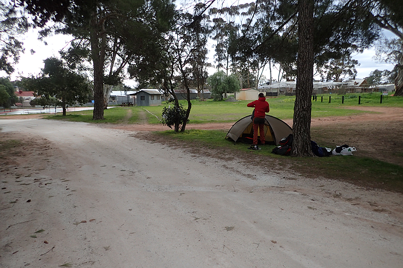
The campsite was perfect, the owners priding themselves on keeping a ship shape establishment. We were the only tent of course and very much enjoyed using the camper's kitchen. The rain showers came through all day with heavy rain and so it was good timing for a rest day.
The only unfortunate part was being woken at 04:00 today by the wierdos in a nearby cabin who were preparing to leave which seemed to entail having loud arguements and conducting mechanical repairs to their car. They were so noisy that Mike had to get up and go tell them to shut up but they did not seem intelligent enough to grasp that their behaviour was problematic in any way.
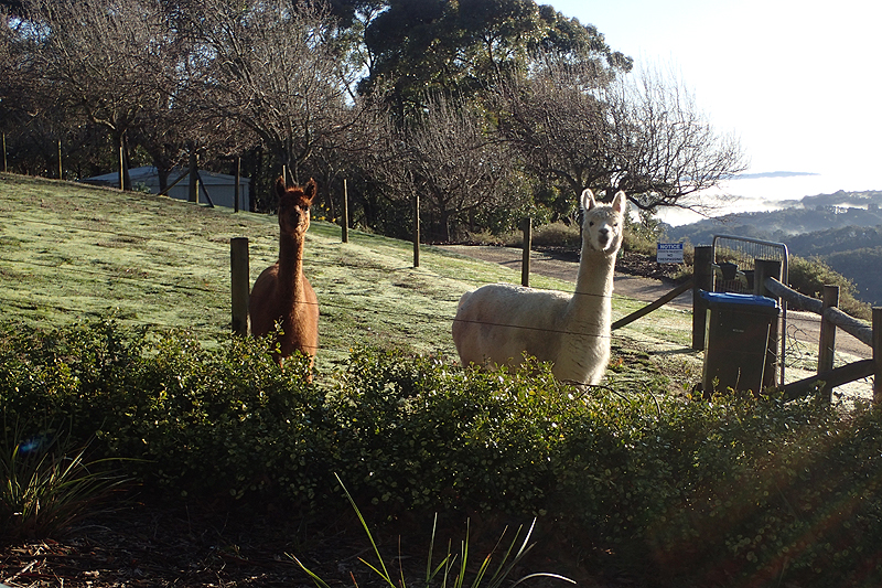
It was an amazing walk today through paddocks of cows, many calves about and also some vocal bulls. When walking directly through pastures the calves would often be very unsure. Happiness is dairy/beef farming as this indicates that crazy hilly landscapes are behind us. It was very misty and we walked surrounded by a white veil. For the first time we experienced a white rainbow shimmering in the mist; it was beautiful. Suddenly the mist cleared and the day was sparkling and crystal clear. It was also very muddy walking due to the rain and many of the farm tracks having been pulversied by the cattle walking from one pasture to another. At times this made for quite adventurous walking as we slipped and skated in the mud. It was fun! Stopping to camp at Yulte was an impulse really. It was early in the day but as we walked a long a fence on the perimeter of Yulte, bordering a pasture we saw a perfect camp spot in a cleared piece of bushland. Later while relaxing in the tent, a bloke came along who has walked the Heysen and is a self-appointed custodian of Yulte. He lives in Victor Harbour and comes here from time to time with his gardening tools to upkeep the path and ensure it is not overgrown which is very generous. It was nice chatting to him. Then the farmer also appeared on his side of the fence to cut down a tree for firewood, so it was an eventful day.
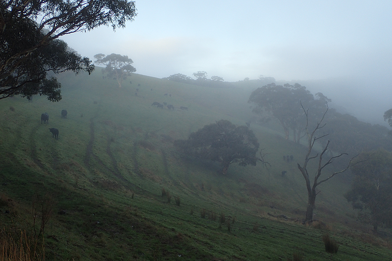
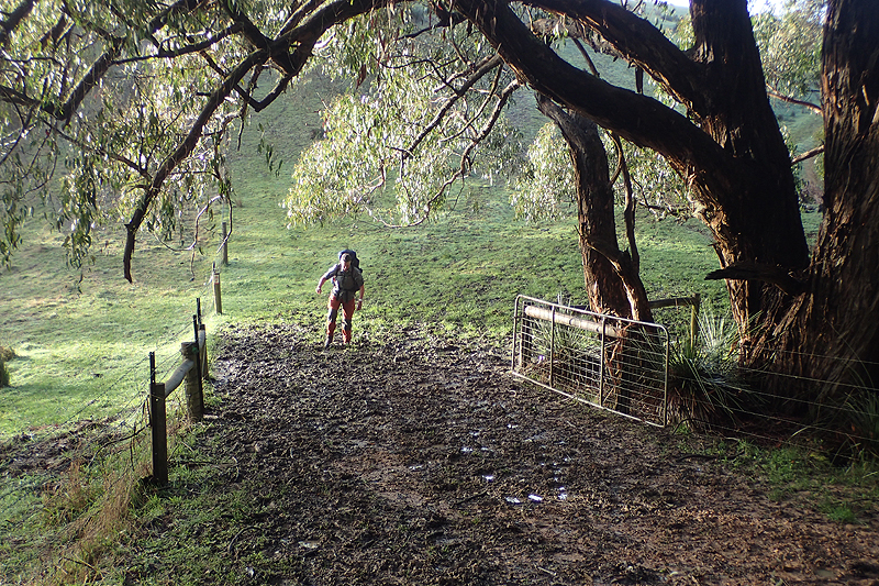
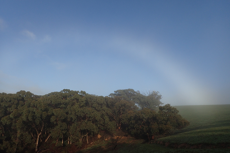
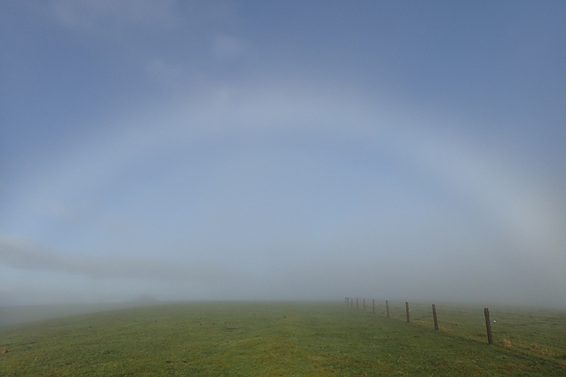
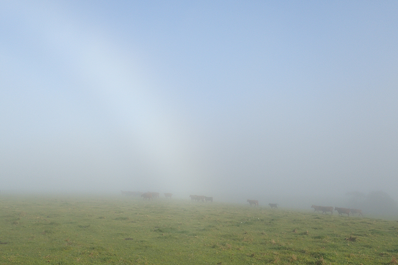

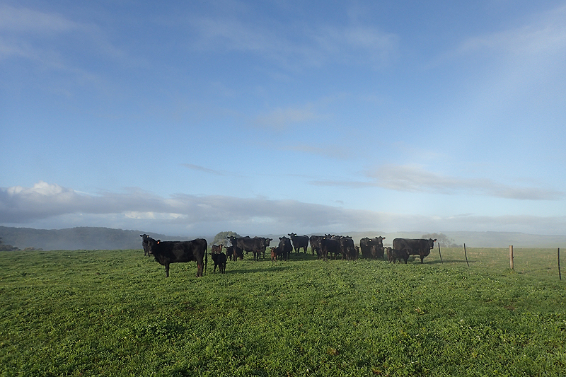
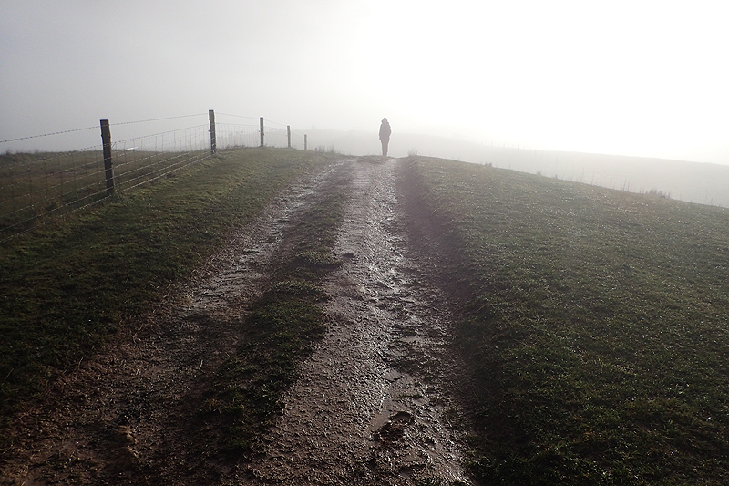
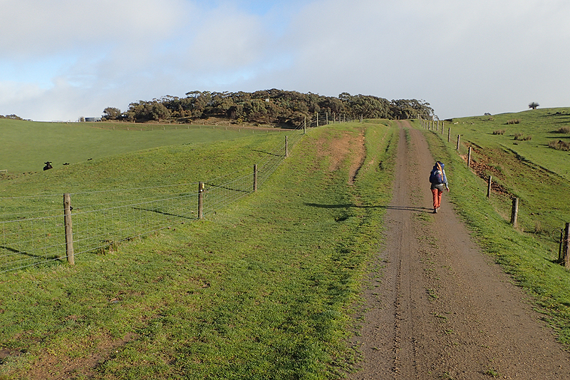
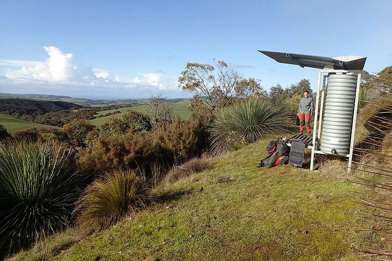


Leaving Yulte the mist lay thick in the valley once more. We had some road walking as we passed the Heysen Rest B&B where many hikers stay. As we left the road to go back into rolling hills we reached the 1000 km mark and enjoyed a lovely bench to sit on as congratulations! We reached Inman Valley where we had a meal sitting at the bench in town. The general store was closed although it was not supposed to be, but we weren't planning on shopping anyway. Walking up the road afterwards we met a farmer who was very enthusiastic about our walk and told us that we would walk through their farm in a few minutes and also at Balclutha along the south coast, which we thanked her for! When we entered her farmland it was late afternoon, the light was marvellous and the animals so beautiful and peaceful. We have been noticing that as we have moved further south the sheep are not quite as alarmed by us anymore and don't head for the hills when they see us. At first we thought this was due to them being shorn, maybe it calms them down or something. Then we thought maybe it is a different breed of sheep and has a different nature. We know what a merino sheep looks like, which were common around Spalding and Burra but could not name many other breeds on sight. Then we thought it might just be different farming practices, perhaps these sheep are more used to having people around? The farmers are more hands on? We have no idea. But this farm, the animals were in pristine condition and the entire operation seemed polished and cared for. There were signs up for walkers explaining that lambing was going on and to give the ewes and lambs a wide berth which we always did anyway. It felt like paradise. A bit further on there were cows and a herd of quite young angus cows which came running to see us and were as playful as puppies. Bit nervous that the fence might not hold them! After walking through the farm we entered another SA Forestry site with a reroute, poorly signposted once again. We had a great walk through it until we got to the locked gate right opposite the Heysen site we were headed to. Nothing for it but to clamber over the gate. Robinson Hill walk-in site was a really nice one with lovely views.

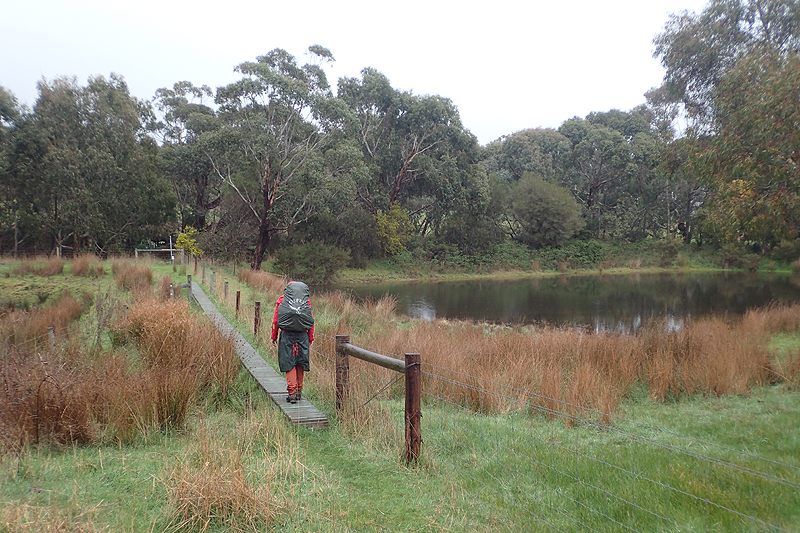
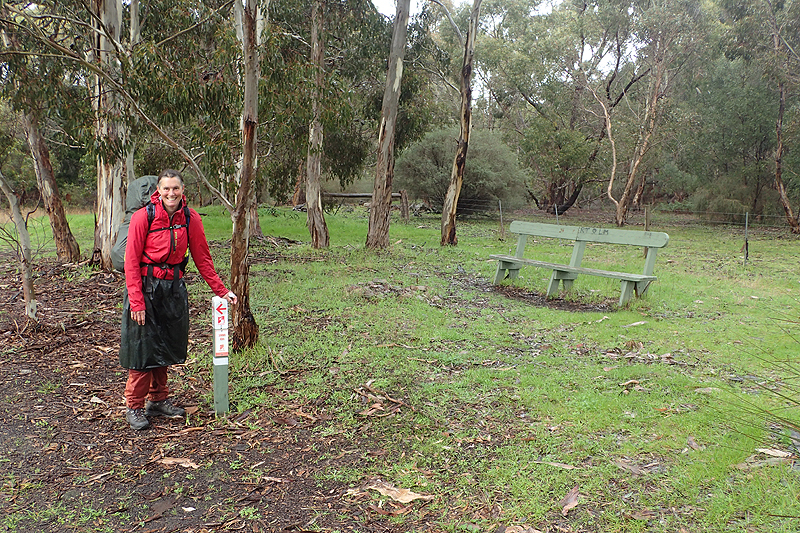
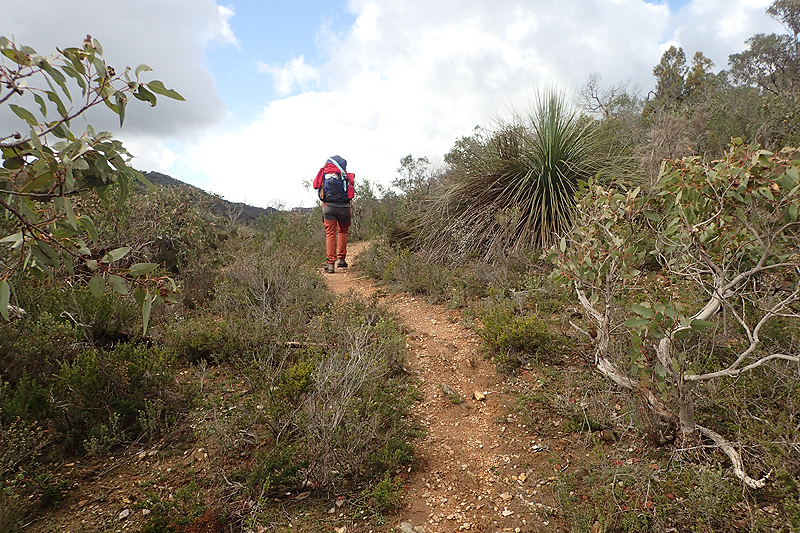
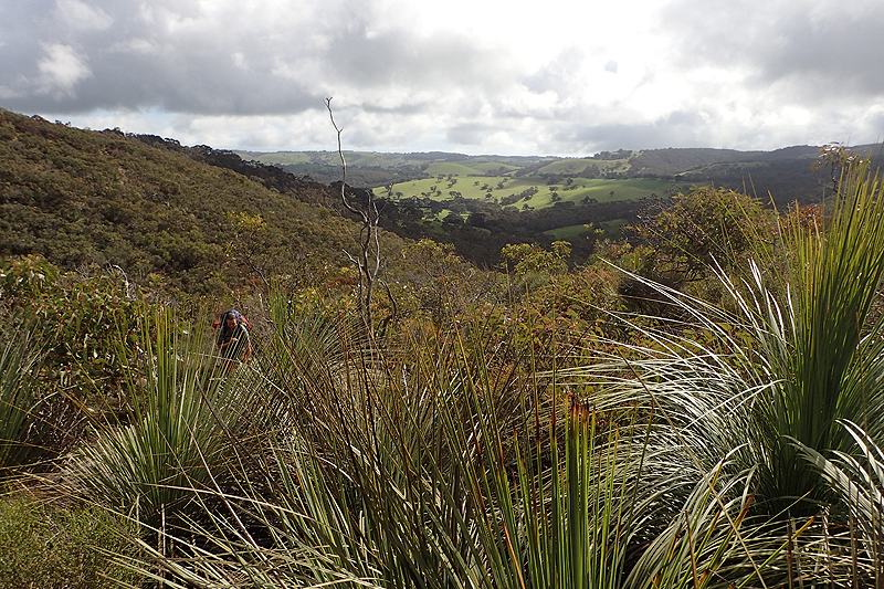
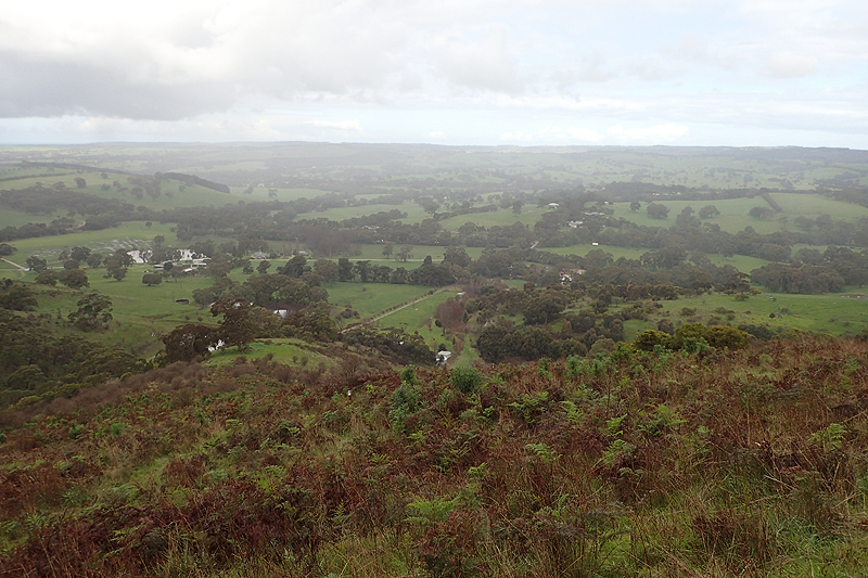
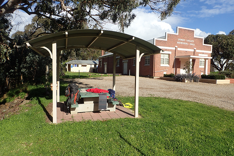
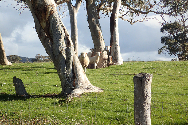
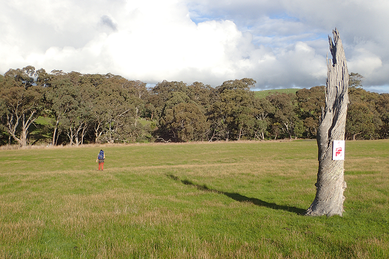
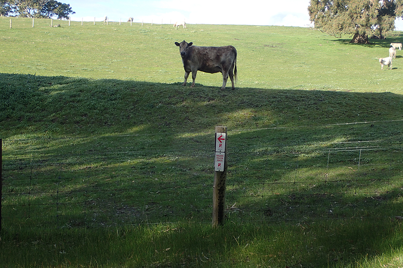

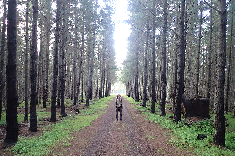

Our plan was to camp at Victor Harbour and we had a lovely walk getting there, but when we arrived at the campsite which was on the water we suddenly did not like the idea of being so hemmed in. So we went and resupplied in town and sat a while at the beach picnic area and then set off on the last leg of the hike. The Heysen is now called the Wild South Coast Way and is marketed as a stand alone hike as well as part of the Heysen. The stretch from Victor Harbour up to Waitpinga Cliffs is really a "wow" situation. It is incredibly beautiful and wild. It is amazing how often on this hike through the most arid state on the most arid continent, you will think, "This looks just like the SCottish Highlands" or "We could be on the outer Hebrides". It is a surprising place at the right time of year. A long time back before reaching Quorn we met a couple of thru hikers northbound and the lady described this section as "the icing on the cake". She was right. All of a sudden the gears have shifted and we are just taking our time, sitting on every bench to admire the view and not watching the clock as much. We found a wonderful camp spot just before the cliffs with an amazing view and sunset.
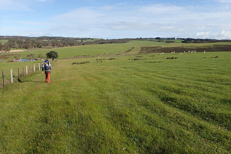
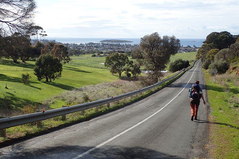
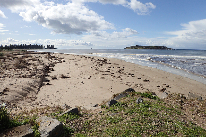
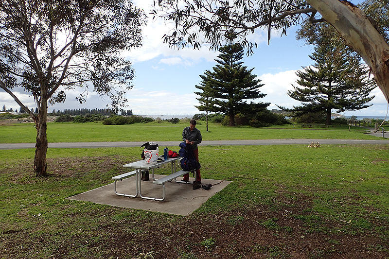
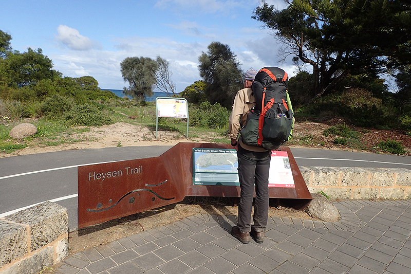
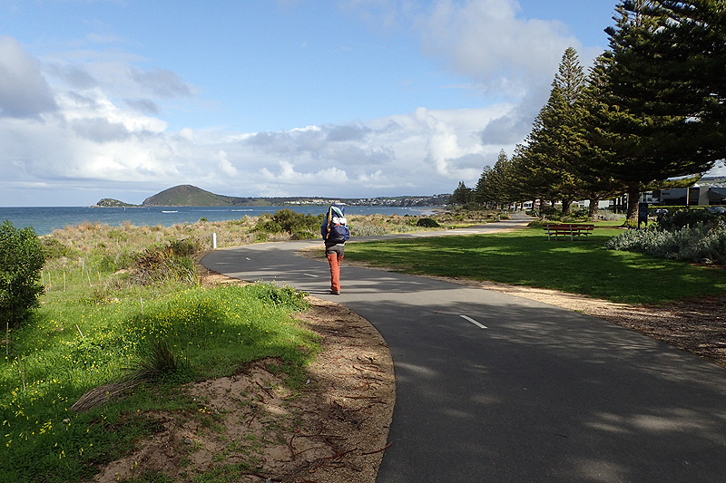
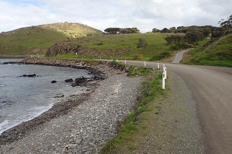

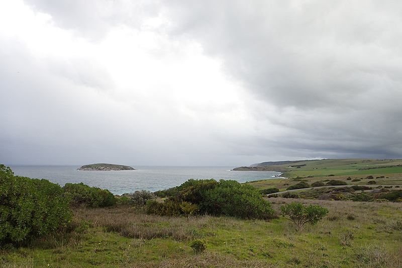
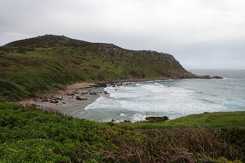
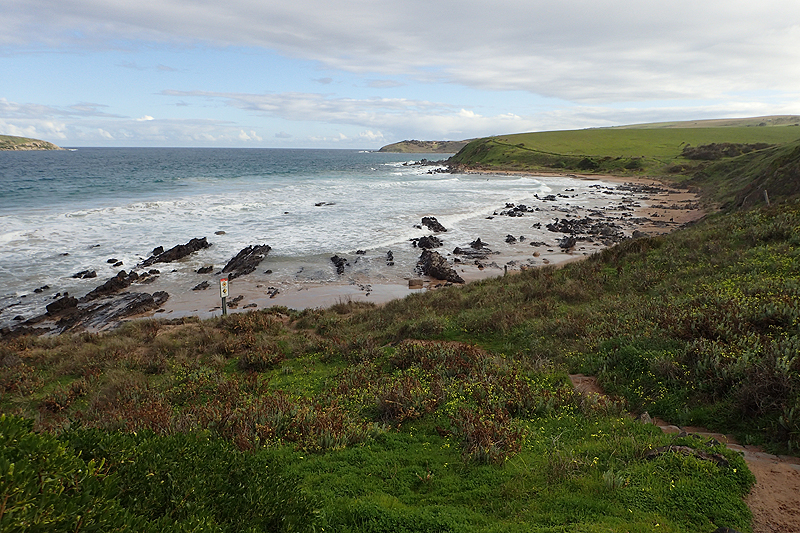

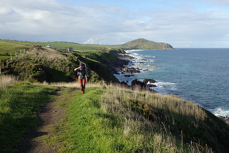
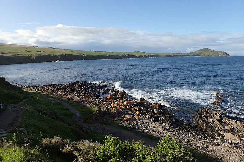

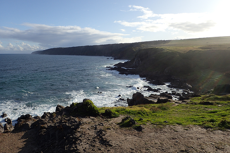
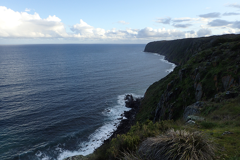
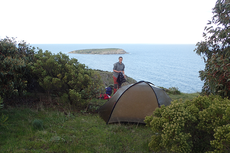
Beautiful walking today again. The weather is still cool. We just look at the ocean all the time. The walk is right along the cliff edge. We stopped at Sand Dunes site, the first of four brand new Heysen sites on this section of the trail. They require pre-booking and payment however we did not see any other campers at any of them. They have thoughtfully laid out tent sites and pretty paths of woodchip. Pretty impressive stuff. We instead pushed on a bit and camped just after Parson's Beach. Rain came in overnight.
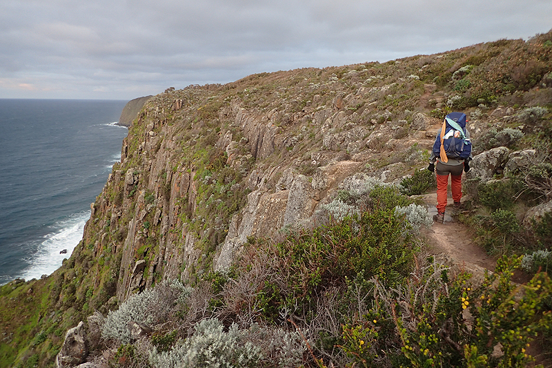
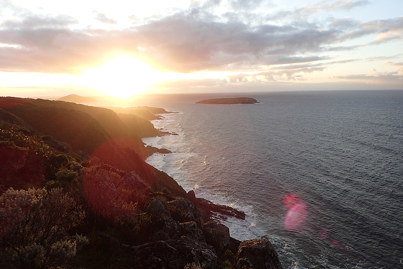
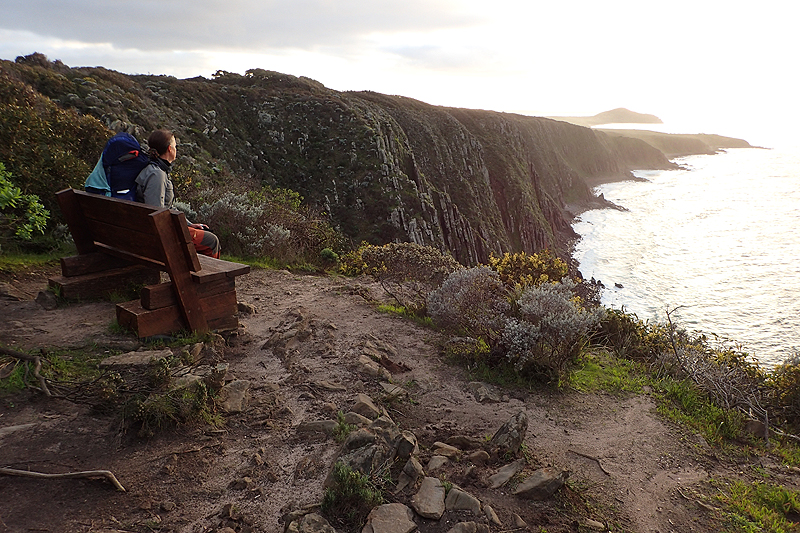
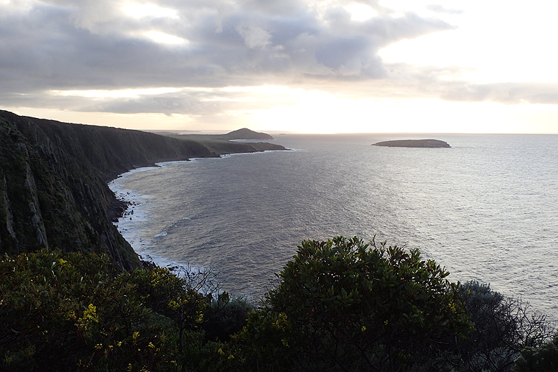
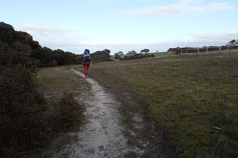
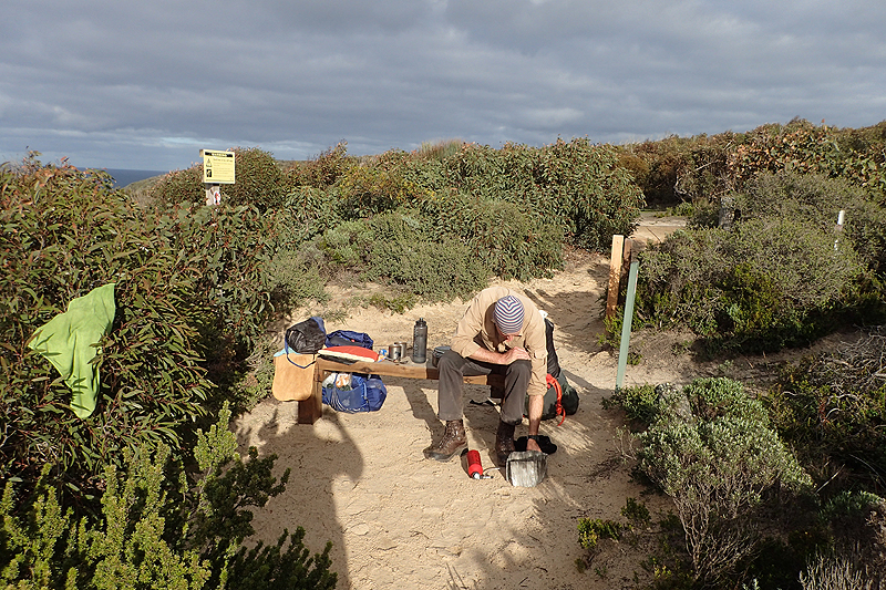
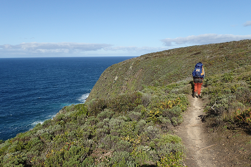
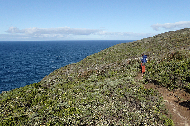
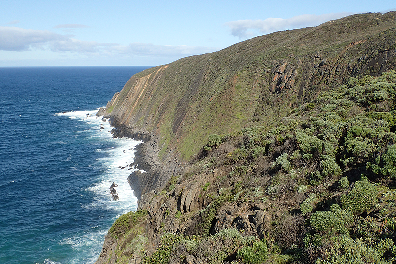

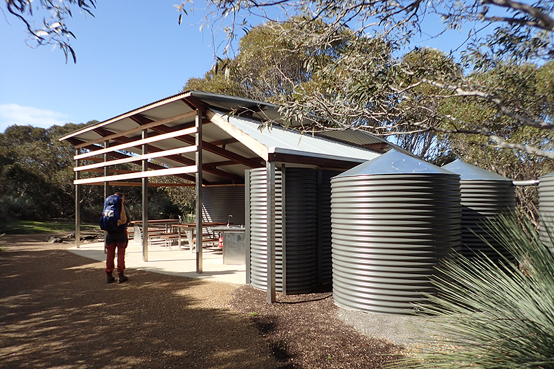


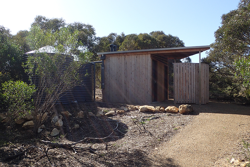
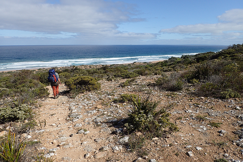
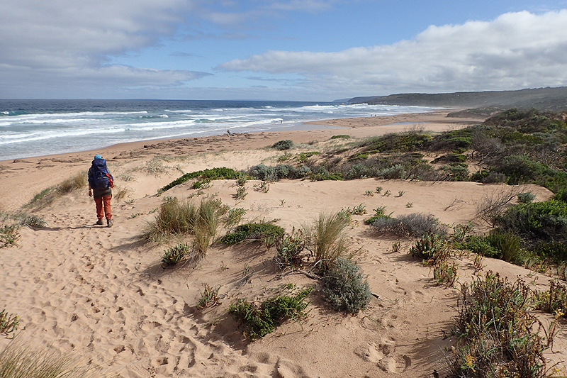
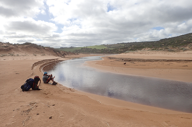

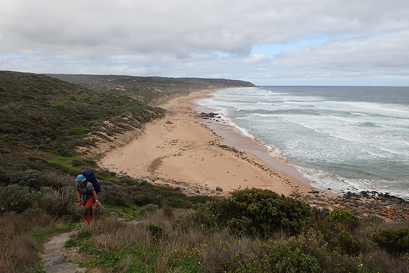


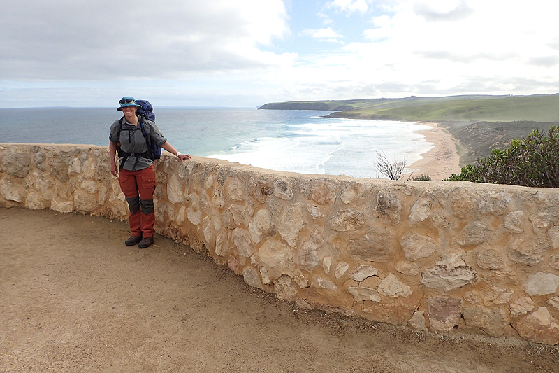
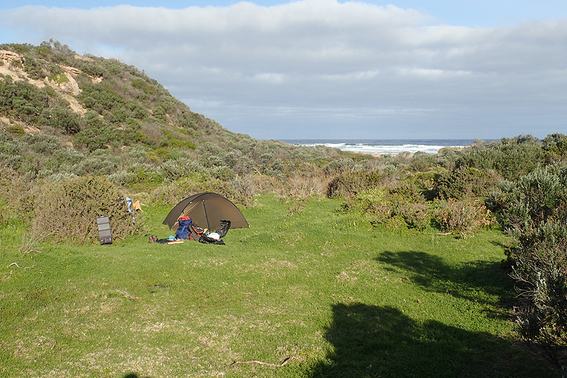
The highlight of the day was watching a school of dolphins just below us surfing the waves, hunting together and just playing at being dolphins. The experience will stay with us. Otherwise it rained quite a bit. A farmer (possibly the same one we had met going out of Inman Valley) had built an Inukshuk which a flock of dorper sheep had climbed all over. There was some beach walking today and we ended up walking back inland through farmland again, more ewes and lambs. We got to the stile to Creek camp site (spekky Heysen campsite number 2 for us) and climbed over it as it was properly marked as part of the Heysen. We could see the shelter on the other side of the creek. The creek was running quite strongly and it was tricky to get across it with our packs on. I ended up crossing it much higher up and got a wet foot. Only after this did we realise the this was yet another example where signage favours the northbound walkers as there was a proper entrance further along the road which brough you in around the shelter and meant you did not have to cross the creek. The tent sites here were on elevated wooden platforms overlooking the creek. We spent some time in the shelter, having a meal before moving on. We came across a perfect sheltered spot on the road, between sheltering bushes and a farmer's field to camp. The field was full of sheep which again entertained us all afternoon.

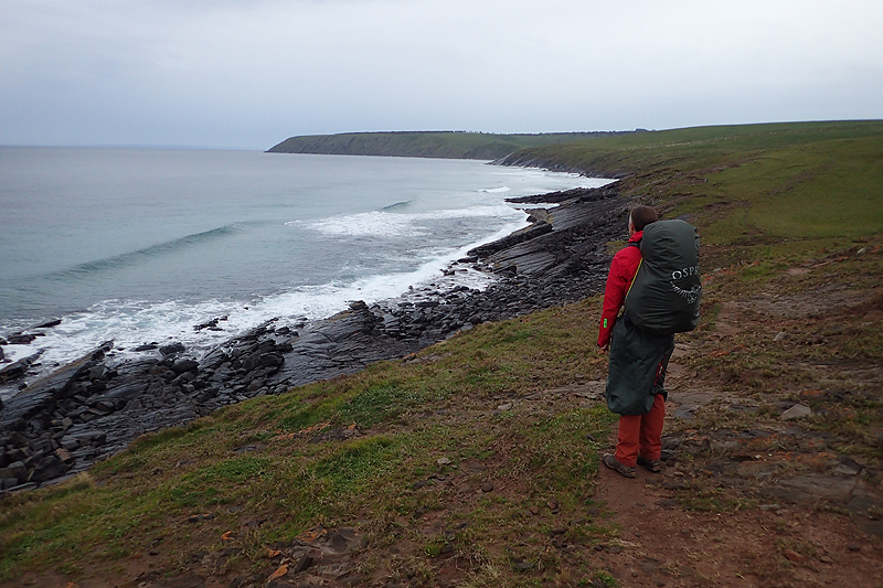


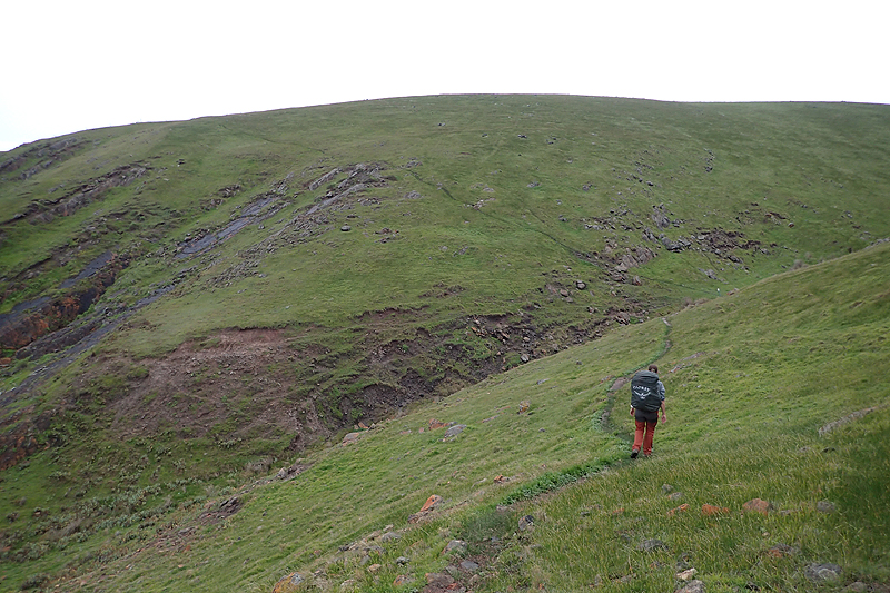
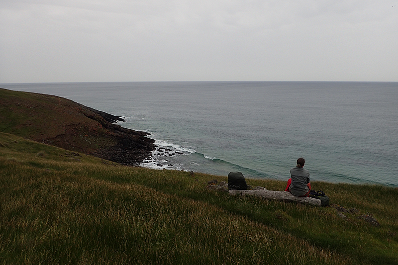

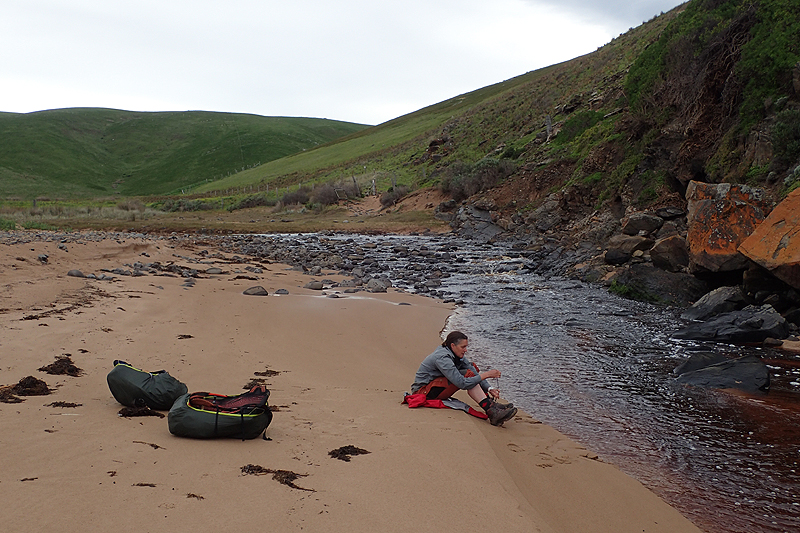
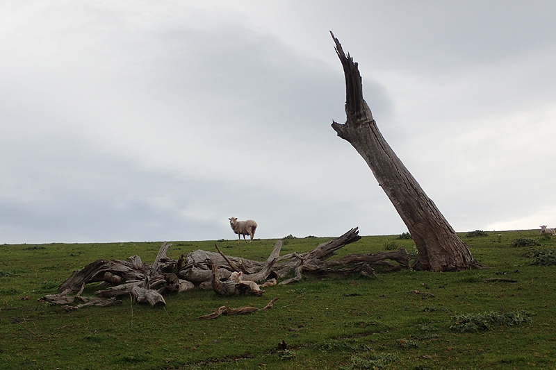
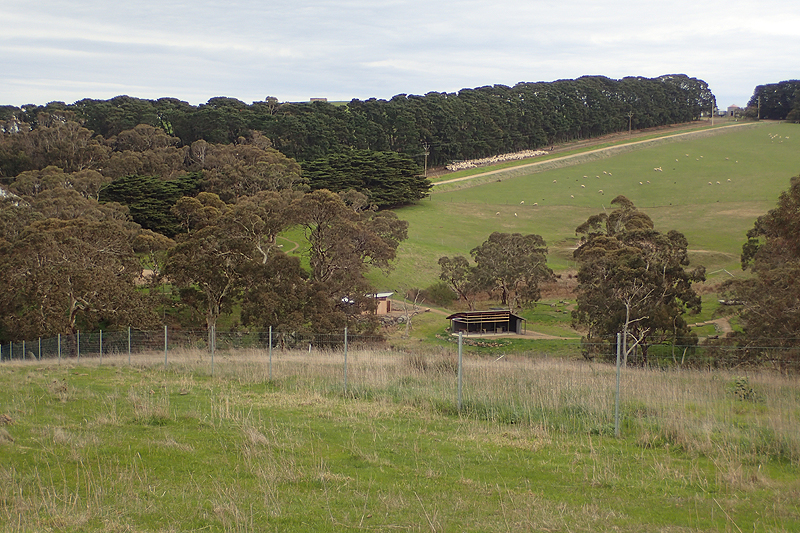
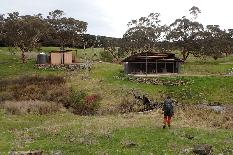
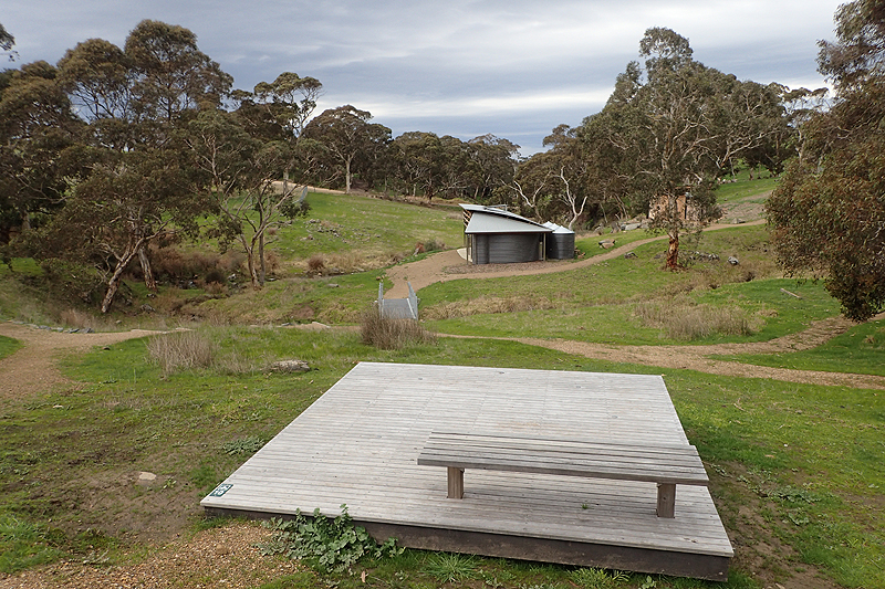
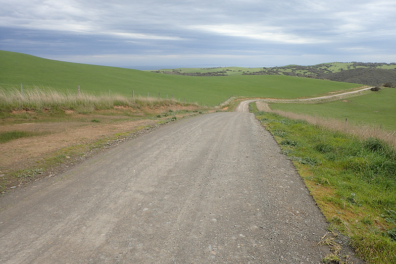
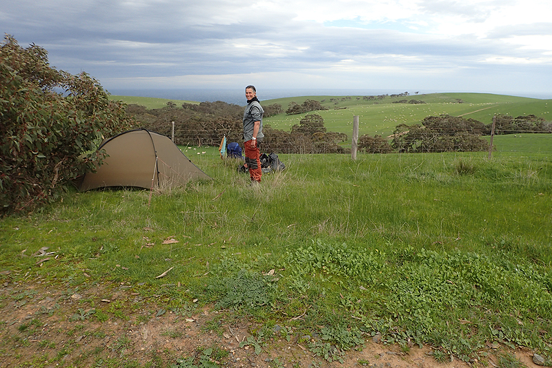
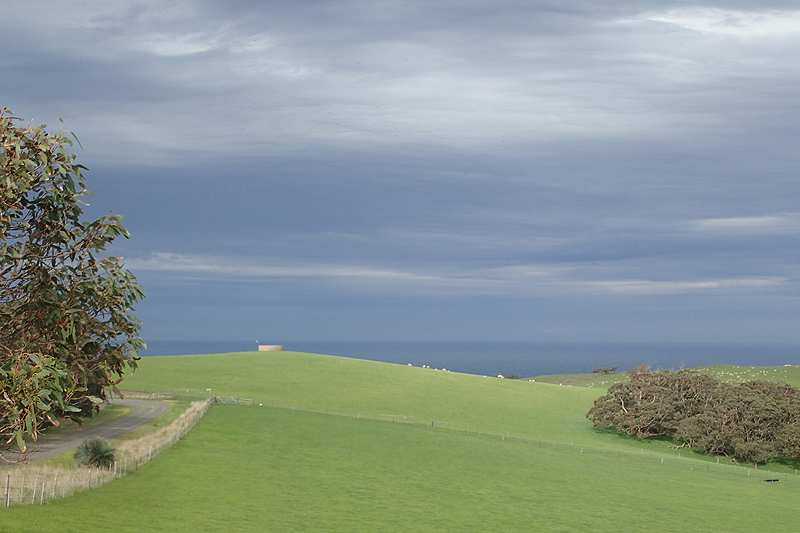
A rainy day that started with "Follow the Fence" down the infamous Tunkalilla Hill. This hill makes northbound hikers cry with their heavily laden packs. It makes southbound hikers cry because most will end up at some point on their backsides. It is too, too steep to be reasonable to walk up or down. Switchbacks are not in the vocab of the designers of the Heysen. You will never have seen anything like this hill for walking on. I say this with confidence. It is nearly impossible. But you will get to the bottom, or the top. The one thing you will find is that your knees will forever remember the downhill walking on the Heysen. The uphills are not nearly as hard on the body. Tunkalilla Beach walk is a long one but the rain eventually cleared up and as we looked down on Boat Harbour Beach we though it looked too beautiful to pass up the chance to camp there. It was pretty wet underfoot everywhere but we found an okay spot which seemed pretty not too wet. We then just relaxed, the sun came out, everything was dry, and then all of a sudden it was dry no longer. A shower of rain caught us unawares and we got drenched getting under the bothy! Had we pitched the tent this would not have happened, but when you are camping just along the trail it is not really the done thing to be super visible. So we paid dearly for that. Anyway, we pitched the tent then but after spending some time in it noticed that there was a pool of water developing in my vetibule and moved our campsite. A group of three girls came hiking down the hill a little earlier and must have got drenched also. We were under the bothy so we did not see them pass us. They had to cross what seemed a very deep creek flowing nearby which we would have to cross first thing in the morning. We decided that we would not bother with brekky tomorrow and would first deal with the creek crossing, climb up the hill to the bench we could see and then sort ourselves out.
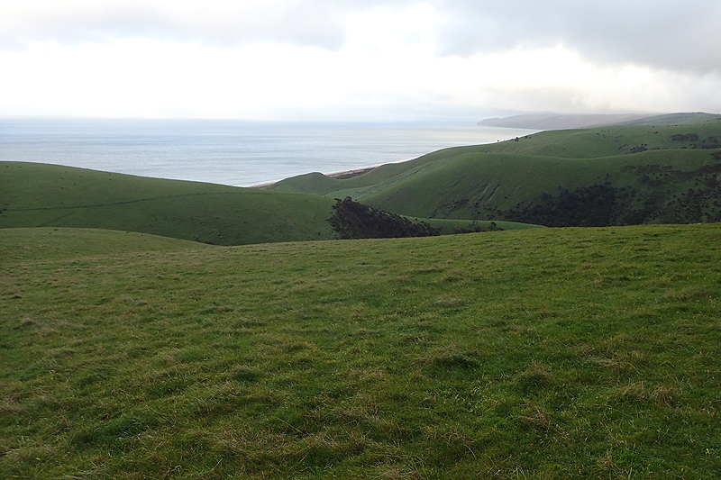


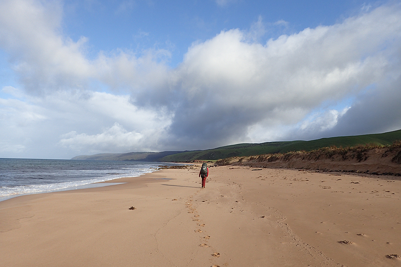
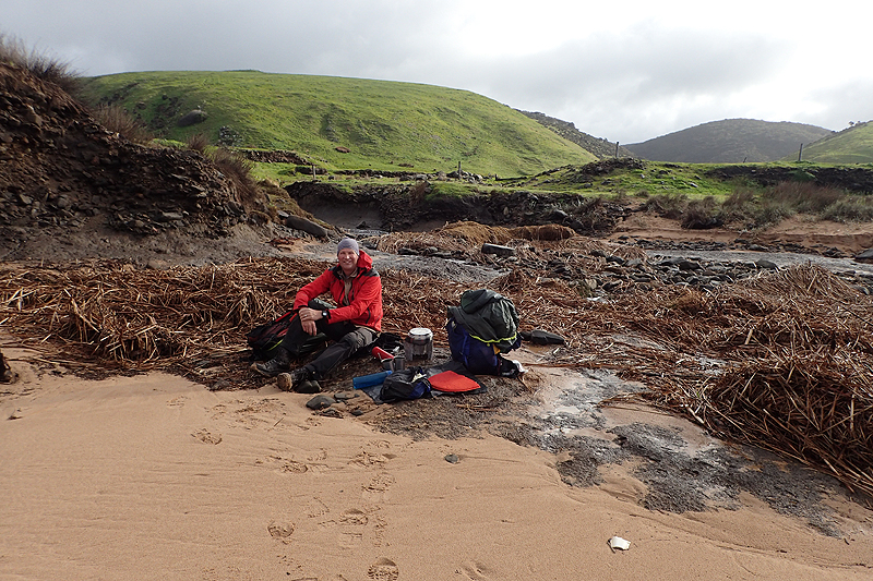
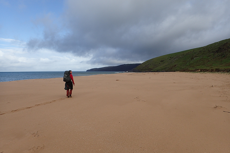
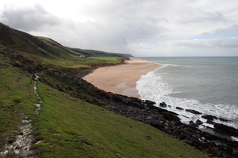
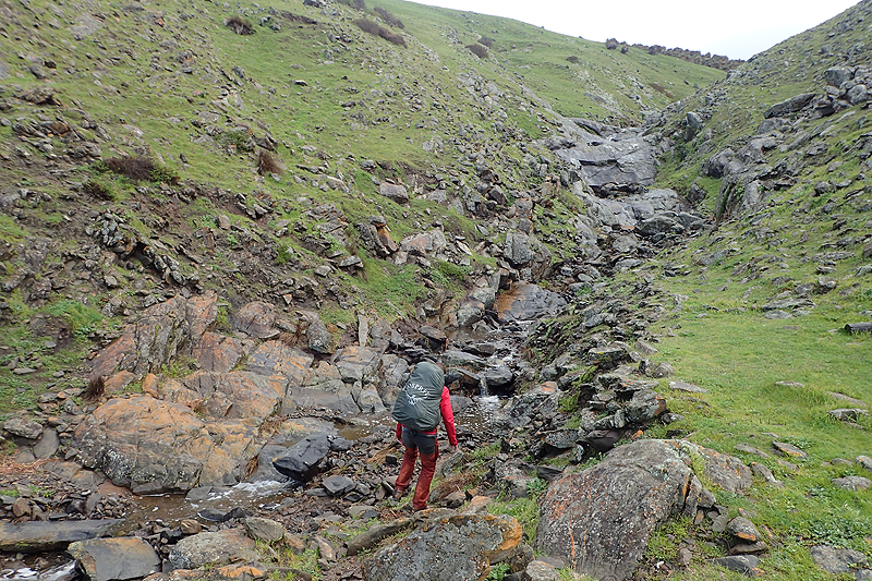
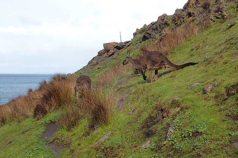
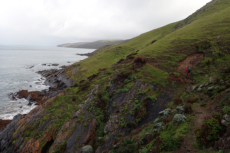
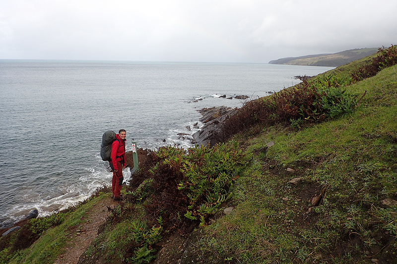

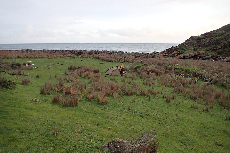
As we did not need breakfast, we were packed very early and set off for the creek crossing in the dark with headtorches. I could see the headline now, "2 Experienced hikers attempted to cross a strongly flowing creek at Boat Harbour Beach in the dark using head torches and got washed out to sea". The thing was, we had no idea how deep it was, but the three girls were not tall and had not drowned so we thought we would be okay! I wore my water shoes which have velcro straps so they grip my feet well, Mike's camp shoes are slip ons and he did not like his chances with them so did not bother with shoes. We could not see anything in this water and it was about 1 m deep but we just picked the shortest gap to cross and were happy when it was over! Who knew that water crossings would be as much a feature of this hike as they are on the Bibbulmen, even more nerve-wracking actually! Luckily it was a clear day and having breakfast at the bench on top of the hill was amazing; beautiful views! We had Cliffs Heysen site as a morning tea break and walked on to Eagle Waterhole. In between we had the Deep Creek (of which Deep Creek Conservation Park is named) to navigate. Well, actually we did not think this was be a "thing" as the point of interest is the waterfall and we thought we would just trot along by. The conservation park is lovely, the trail winding through it is very picturesque. Given all the rain and our experience of the earlier creek we thought the waterfall might be huge, what we did not expect was that the trail would have flooded and we would be left to navigate a creek filled with fast flowing water just downstream of a huge waterfall, and filled in with half washed away trees and shrubs. These turned out to be a blessing as we could use the piled up vegetation to assist us in crossing the water. It was actually crazy. We wondered at what point this section of the trail would be closed? You could see that the water level had been much higher recently. Anyway, we survived with a few minor cuts. It was suprising given how much information is usually given about these things and safety aspects on trails. The only information boards since Victor Harbour practically had been about the plover. We climbed out of Deep Creek and were happy it was over! We enjoyed the walk up to Eagle Waterhole. The rain started again and we were pleased to camp there.

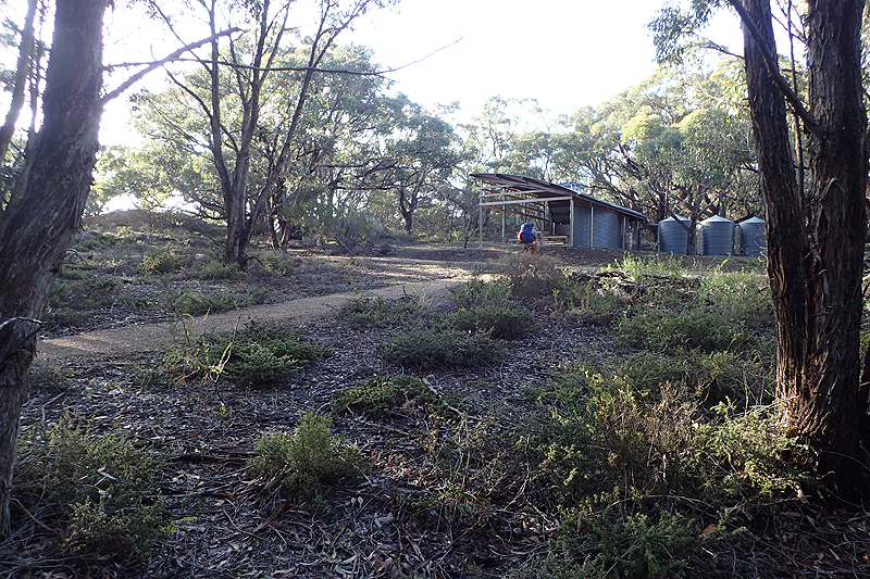

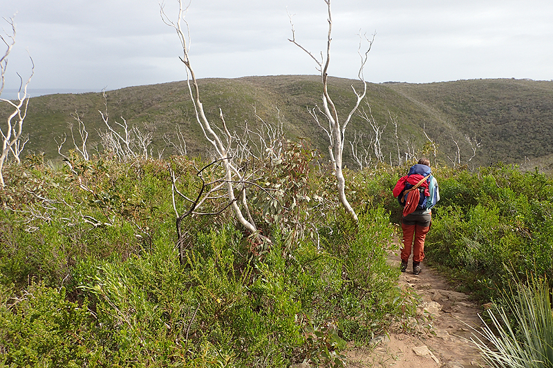
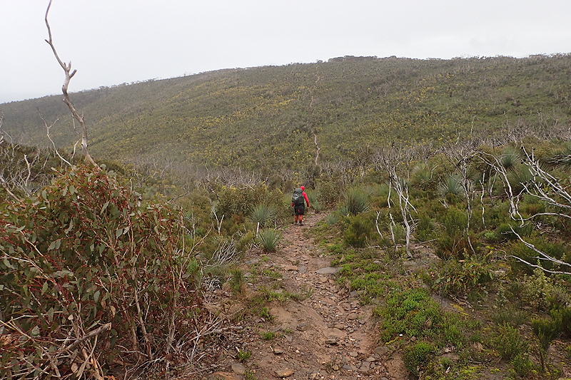
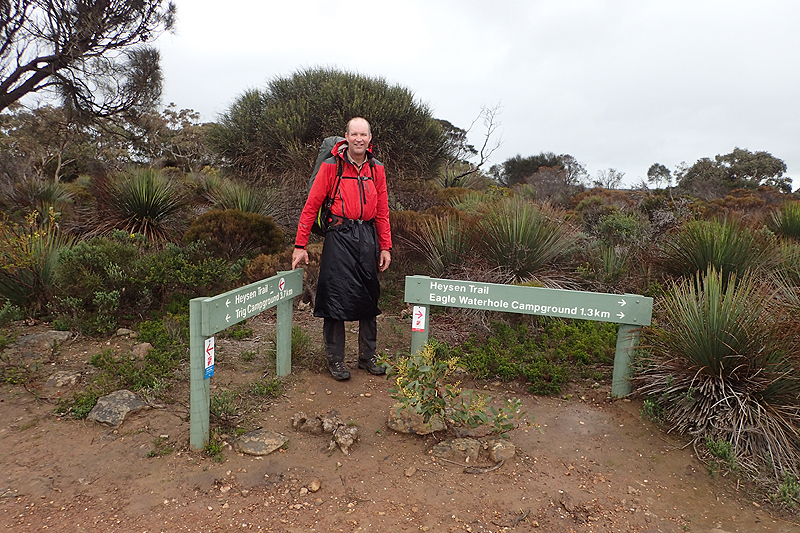
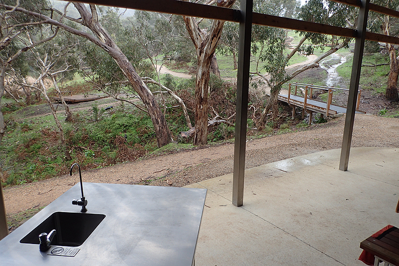
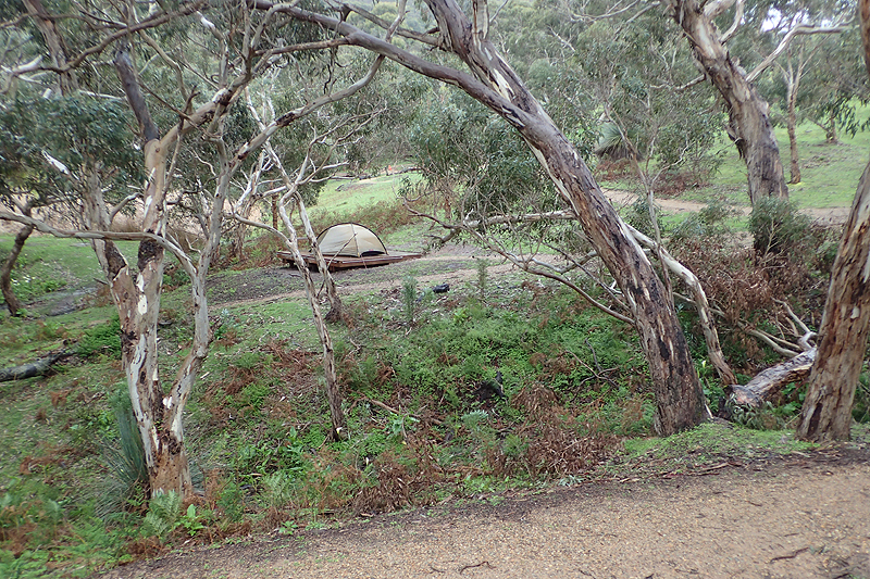
The final day's walk was a triumph. Beautiful day, not a cloud in the sky, stunning coastal walking. As we neared Cape Jervis it remained completely remote which was wonderful. We had planned to camp near the trail head and found the perfect spot on a ledge overlooking the lighthouse so we were lulled to sleep by the rhythm of the light which actually did not keep us awake. We were then well-placed to catch our bus into Adelaide the next day. It was the perfect end to it all. The bus trip was great, big luxury bus and the route was very scenic.