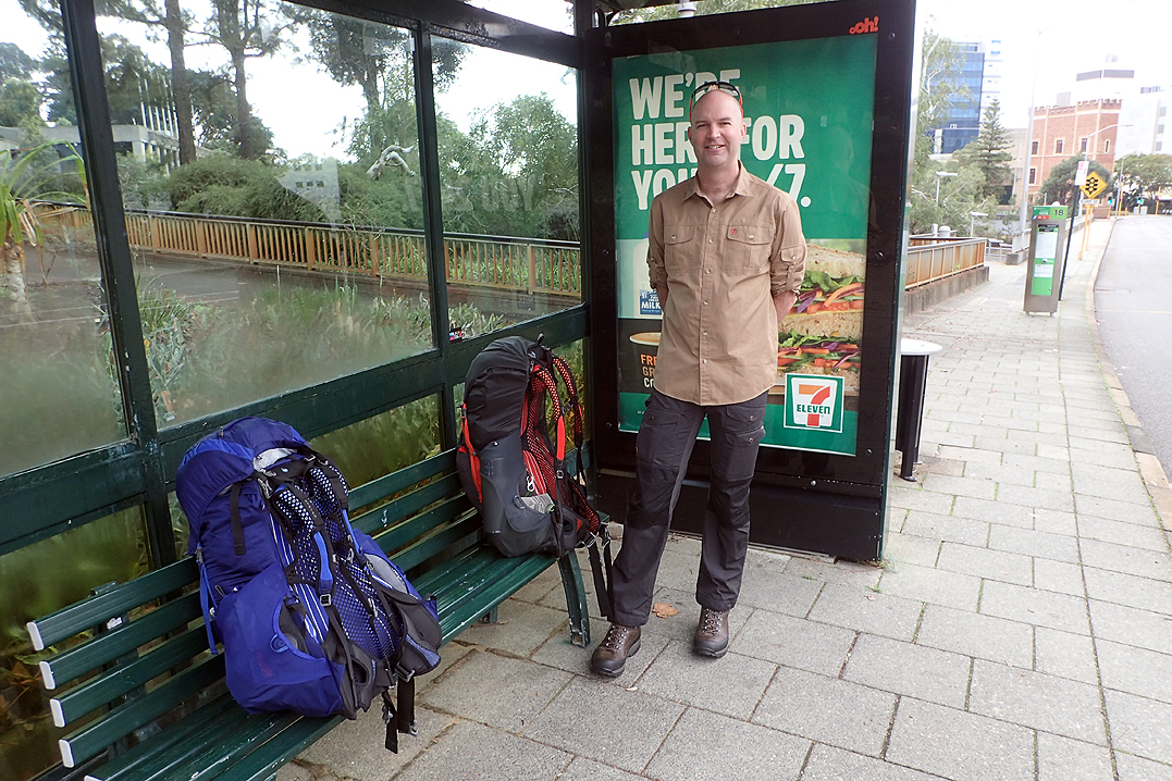
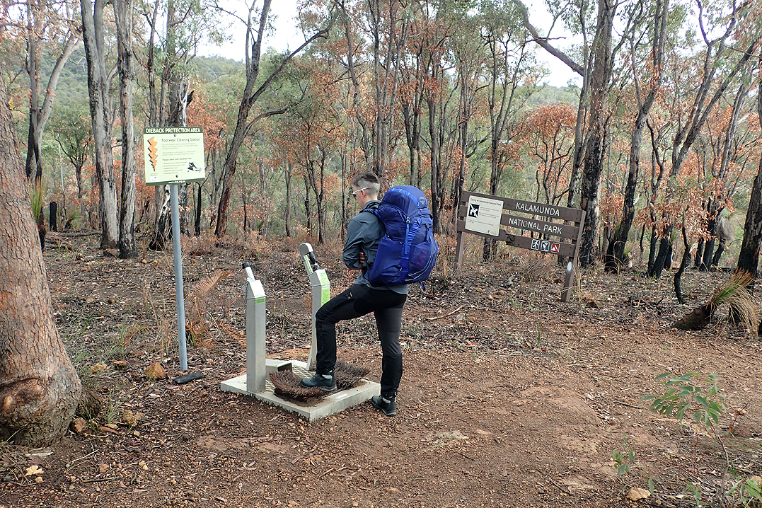
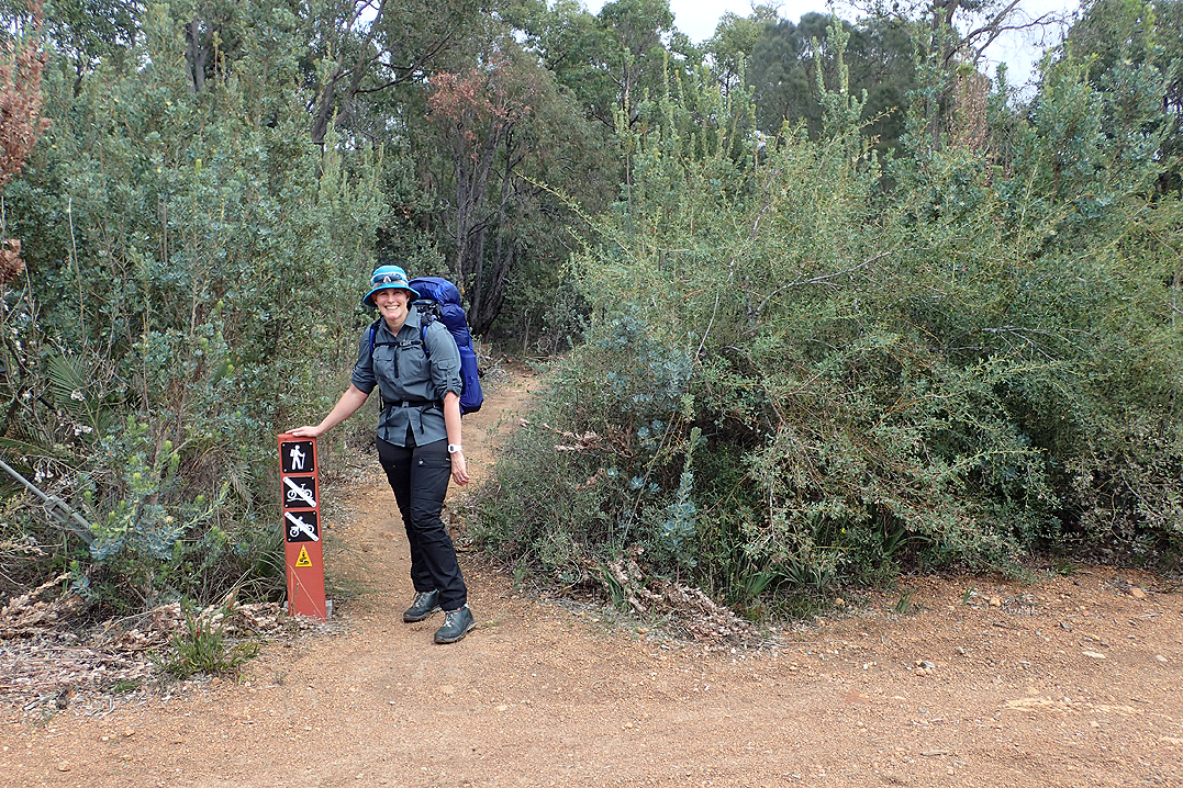
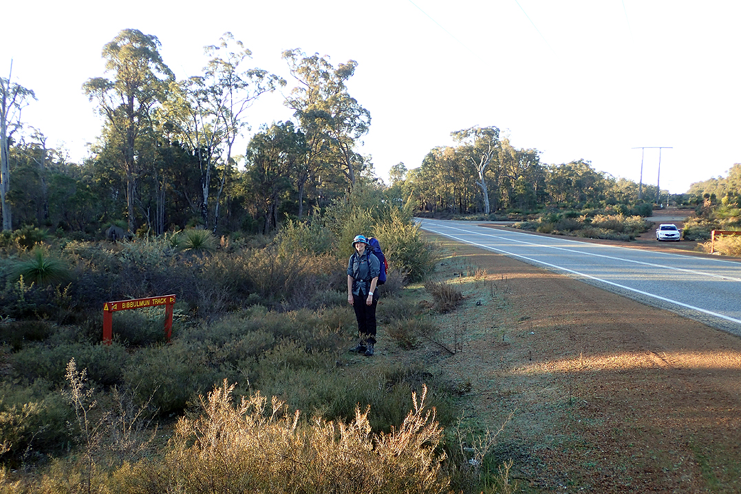
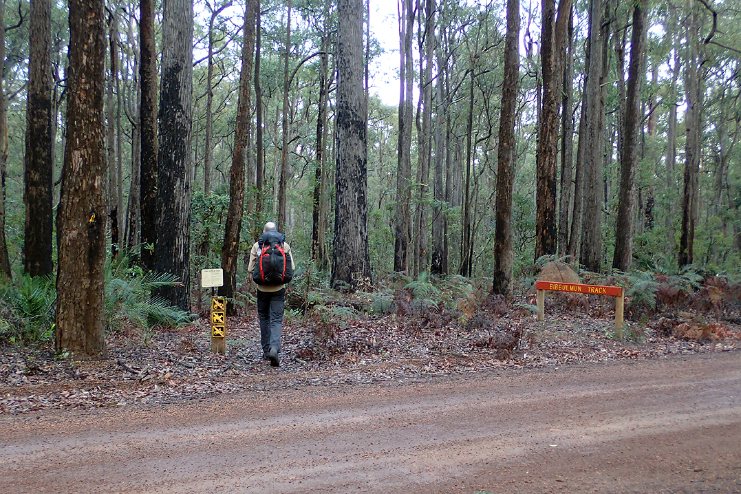
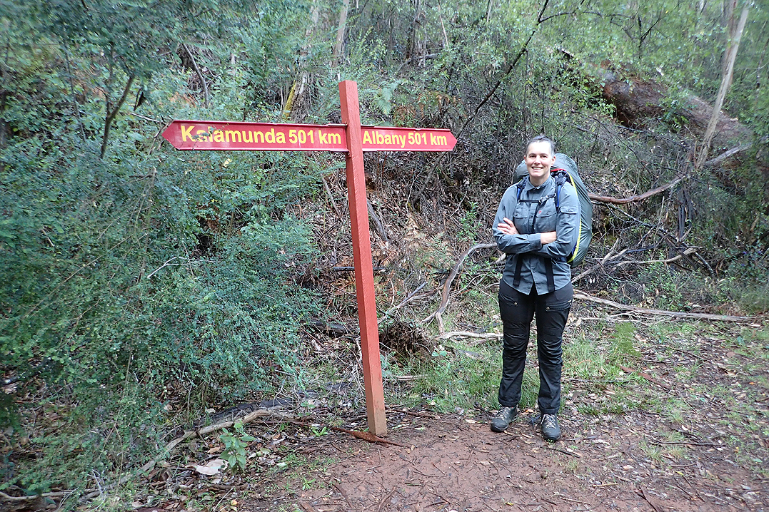
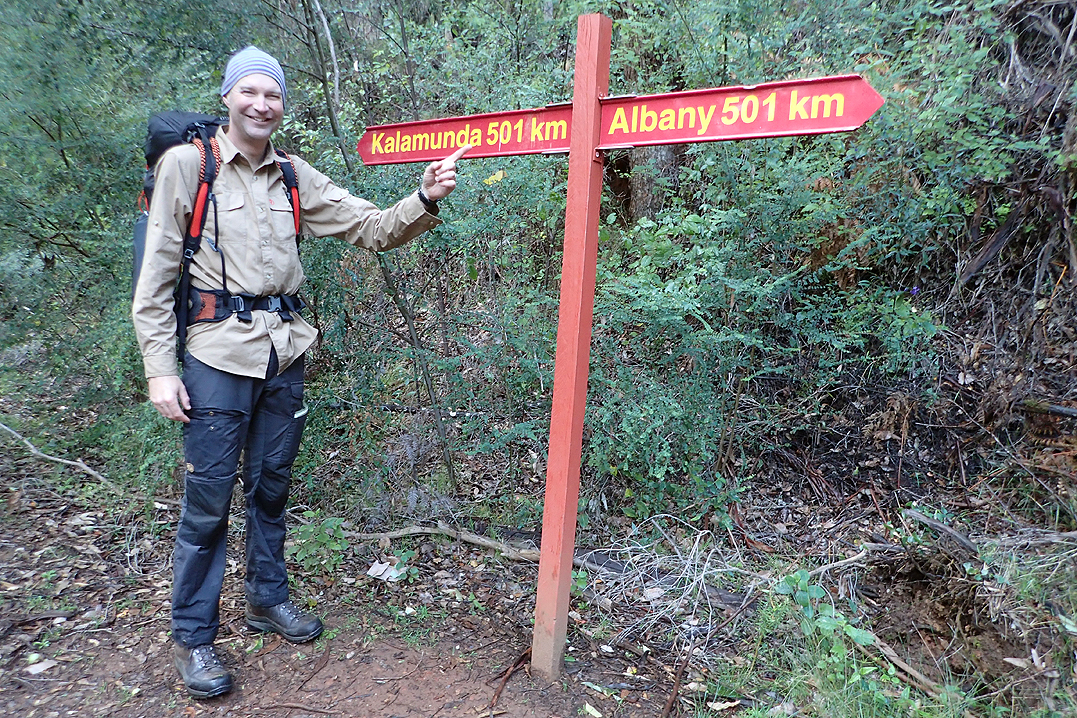
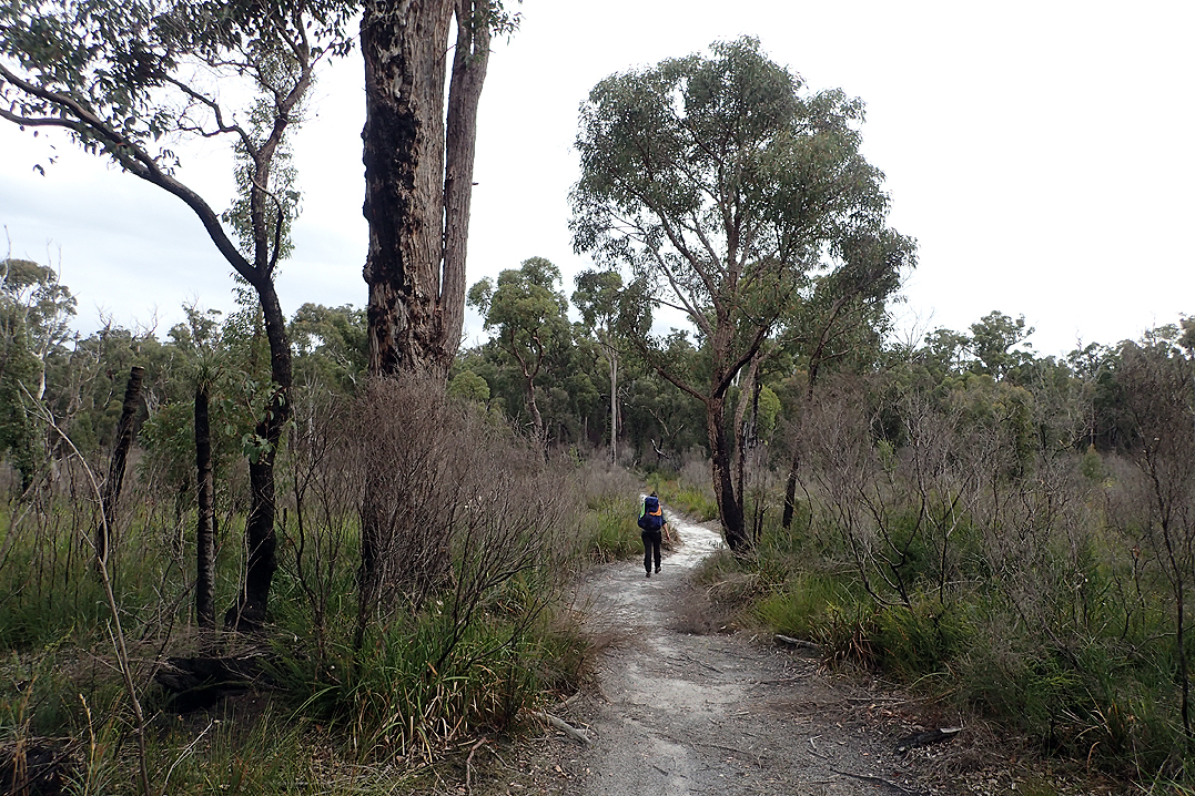
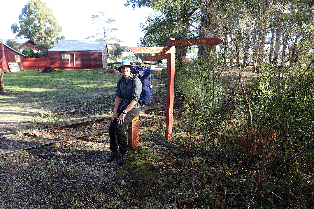
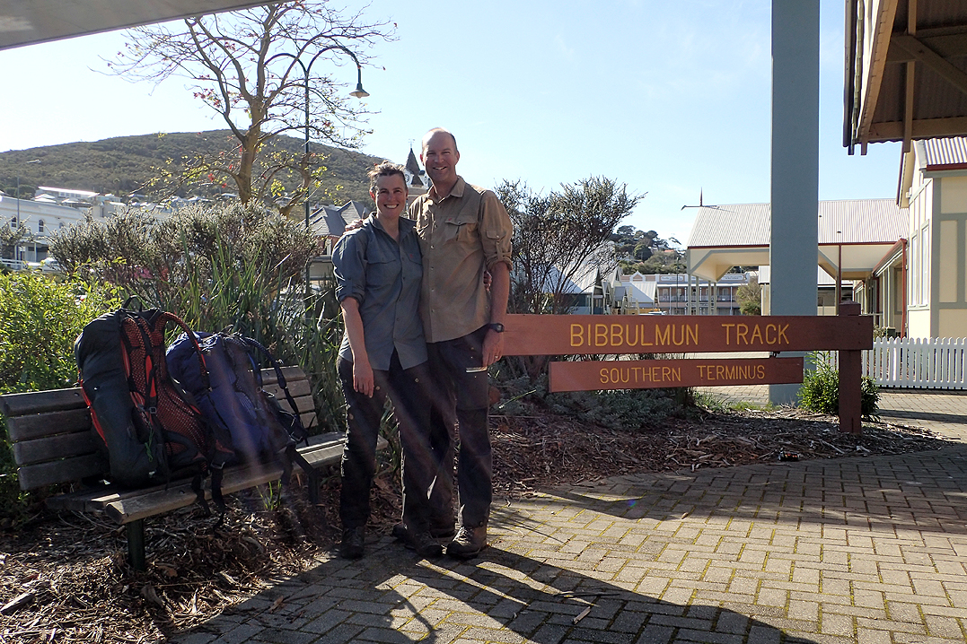
Due to our planned Canada - Alaska Cycle Tour (2020) being cancelled as a result of COVID-19, we had to seek some adventure closer to home, and we are very fortunate to have the start of the Bibbulmun Track thru hike right on our doorstep.
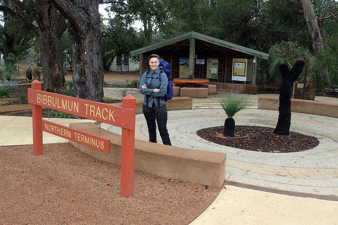
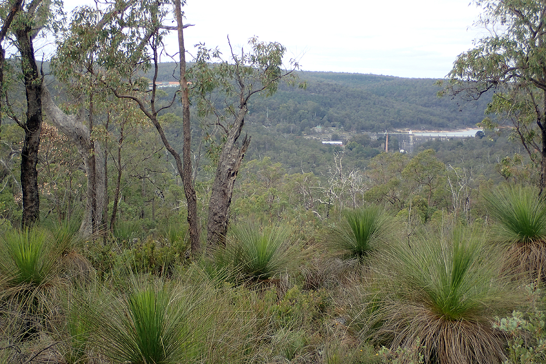
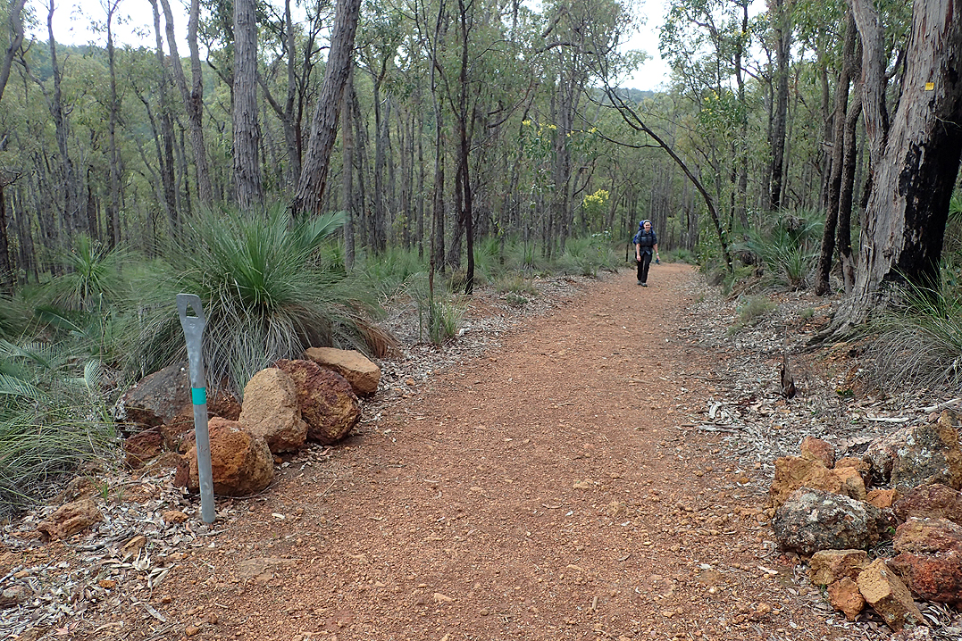
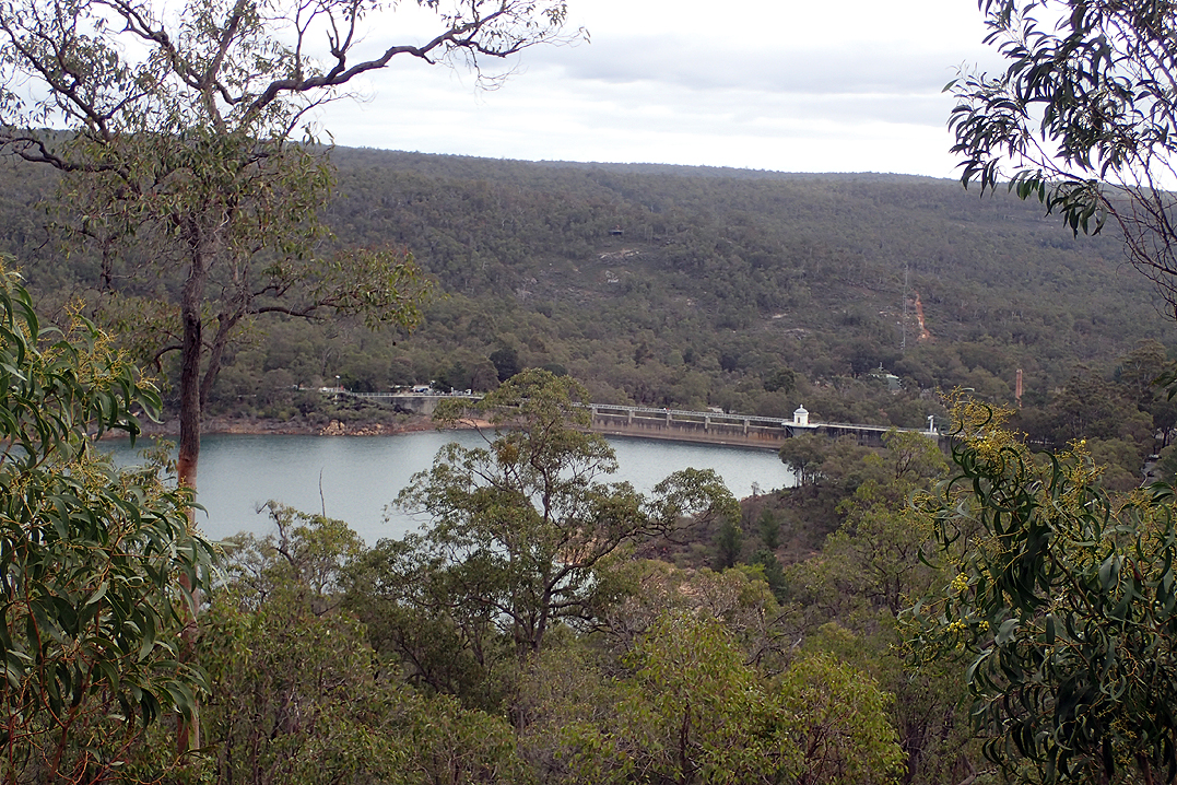
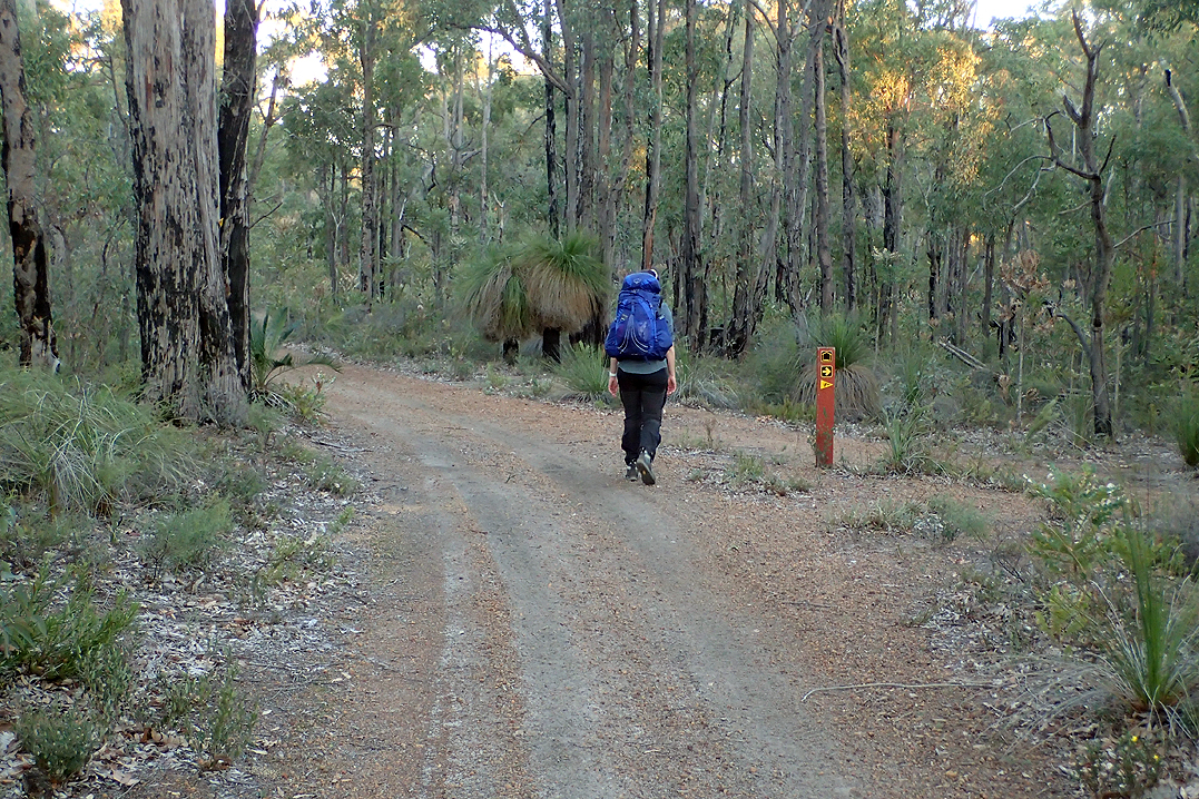
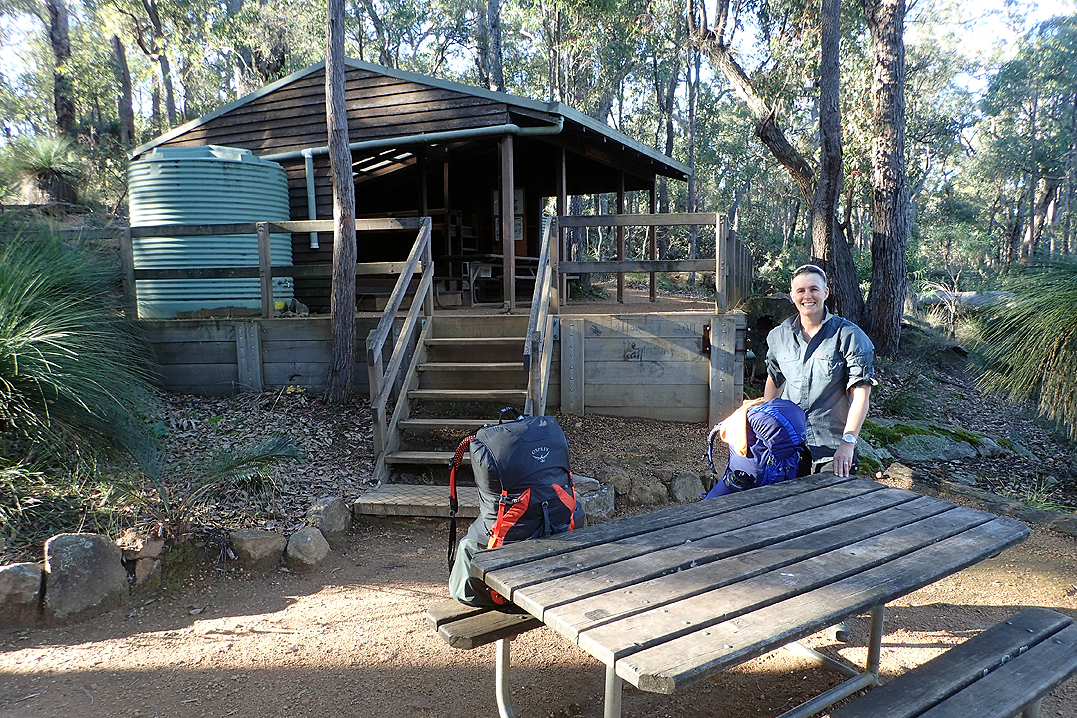
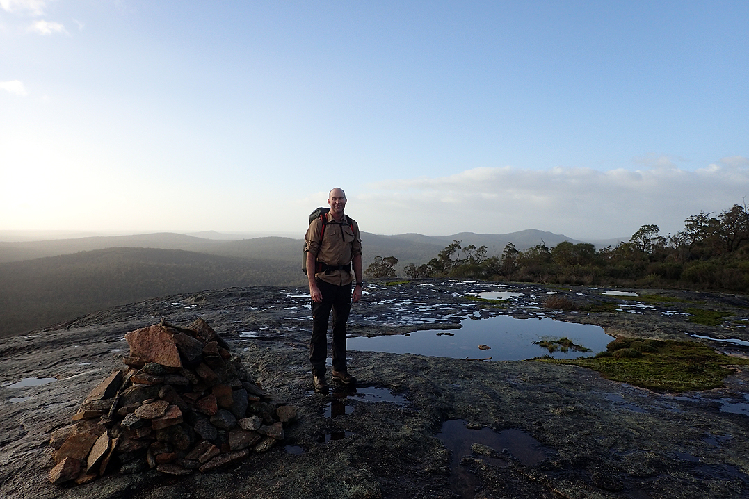
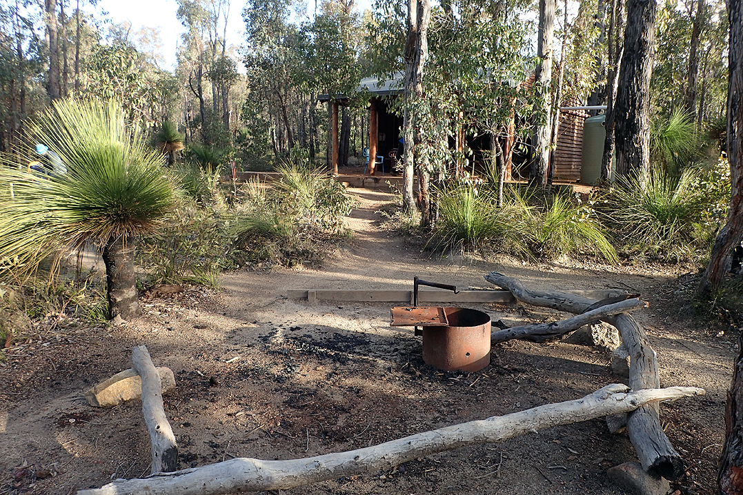
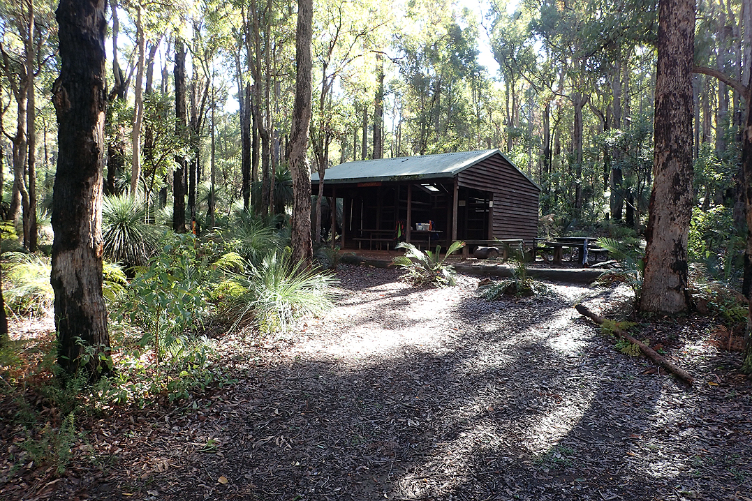
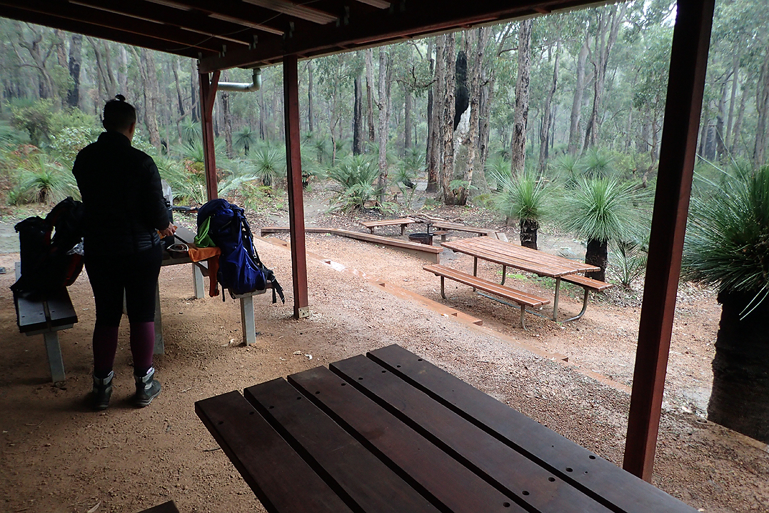
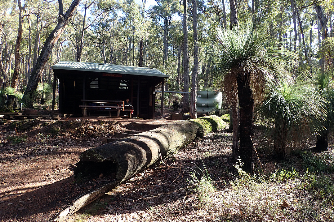
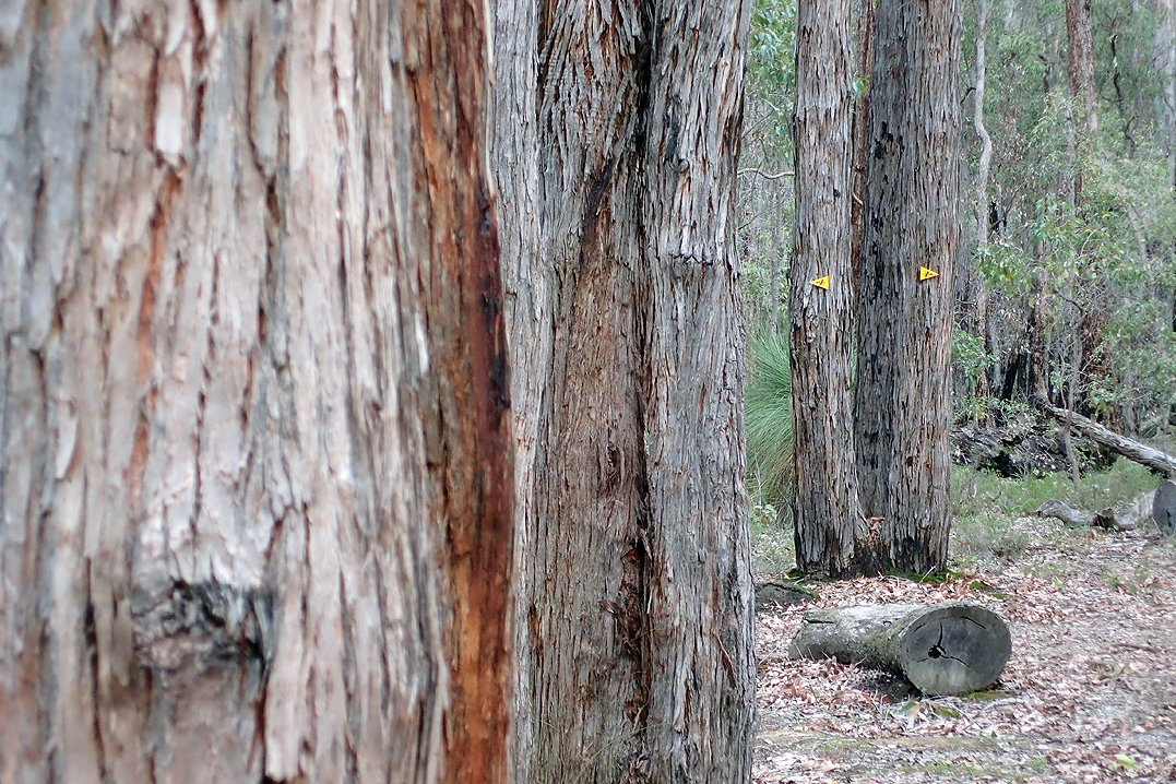
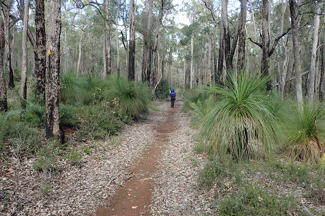
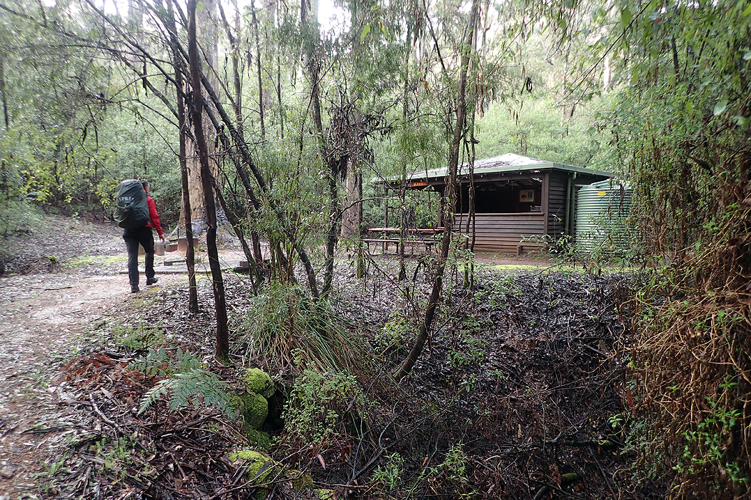
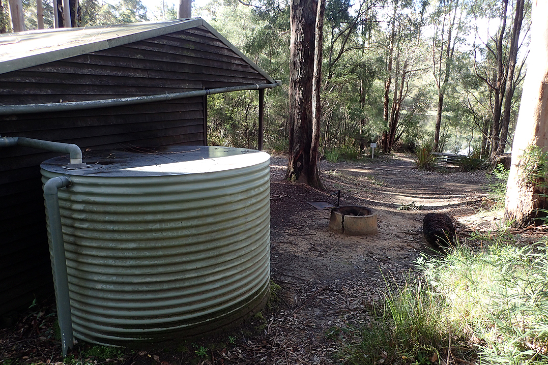
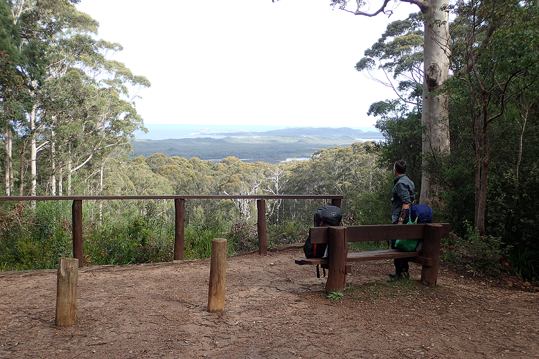
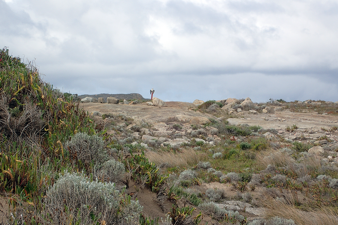
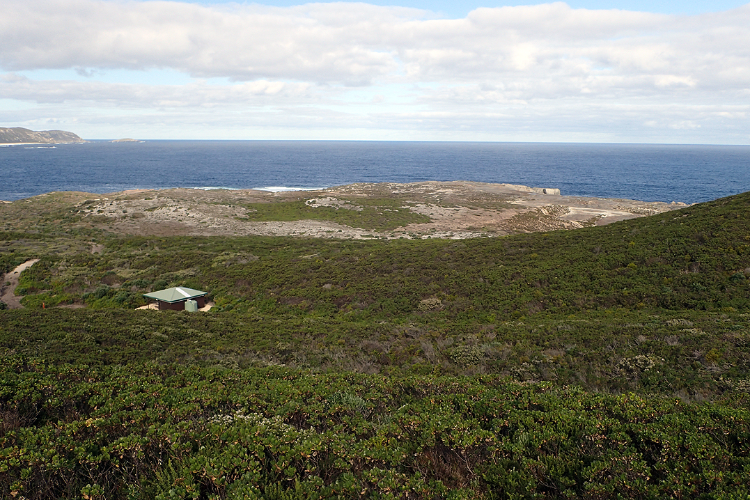
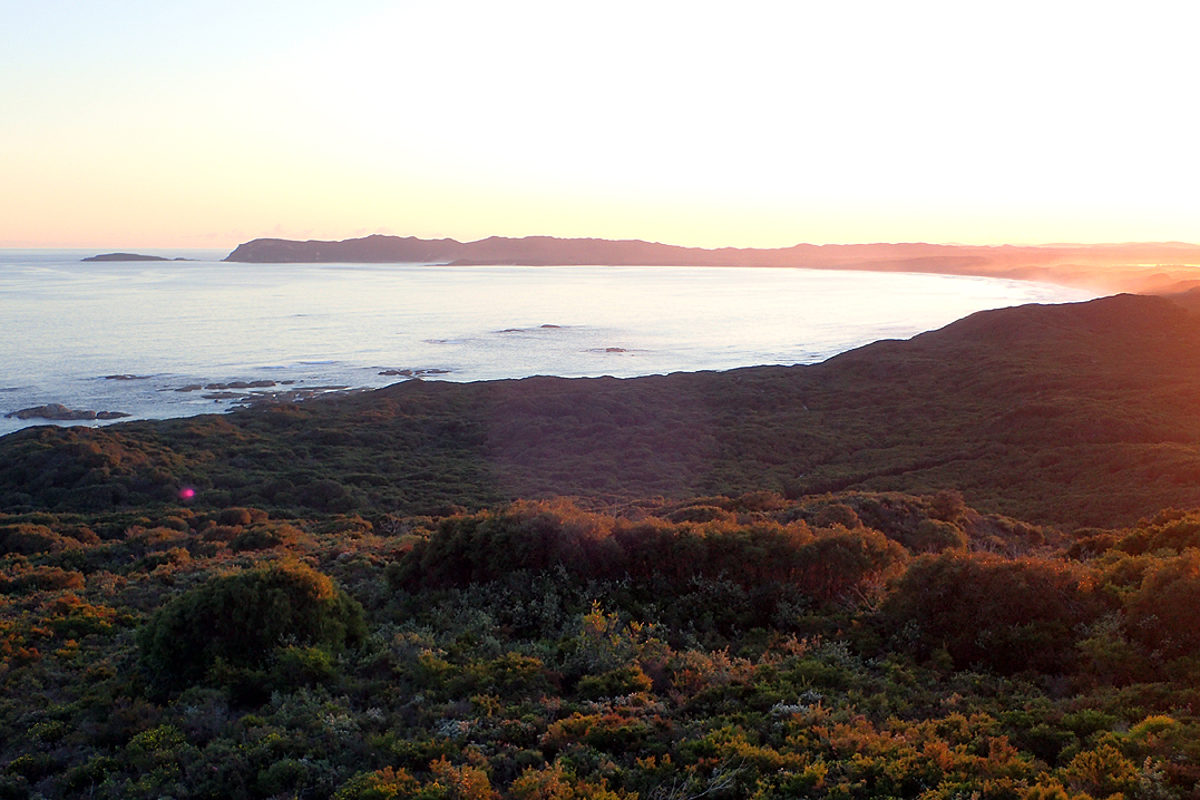
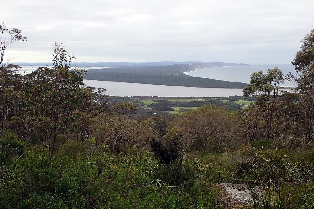
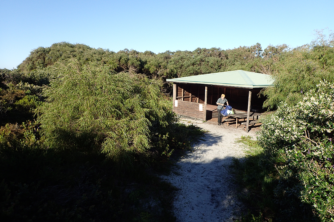
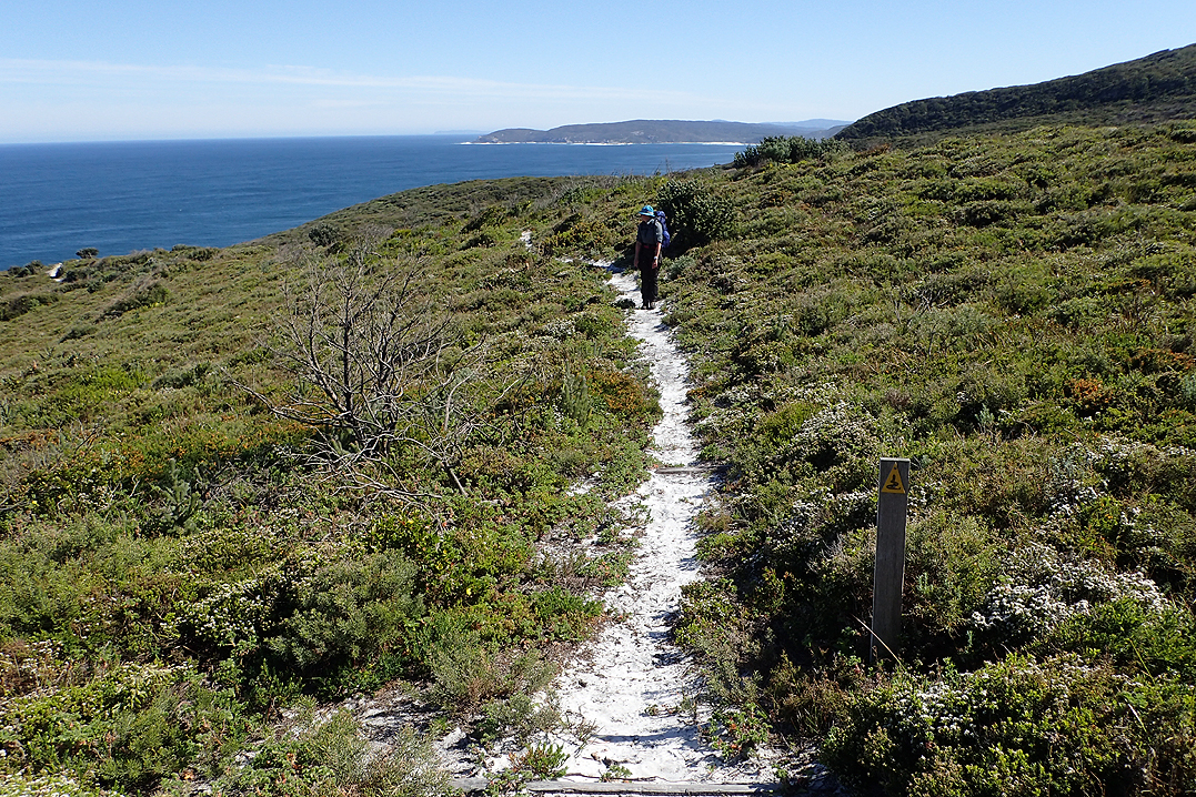
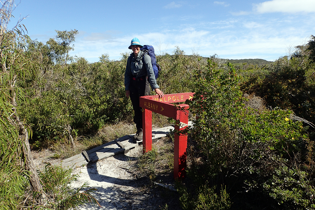
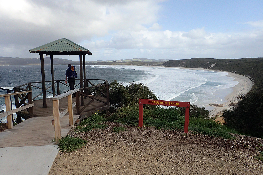
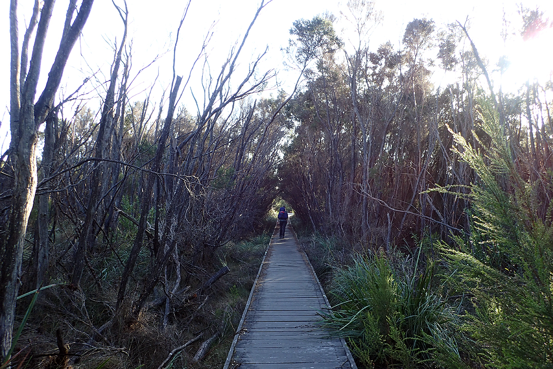
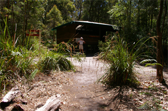
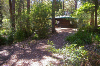
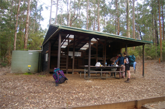
The Bibbulmun Track is one of the world’s great long distance walk trails, stretching 1000 km from Kalamunda in the Perth Hills, to Albany on the south coast, winding through the heart of the scenic South West of Western Australia. The scrollable map below shows the official route as provided by WA Parks and Wildlife Service. There are 49 purpose-built huts along the route and other accommodation is available in the towns along the way. The huts also have a number of tent sites in their vicinity.
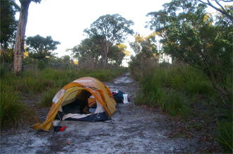
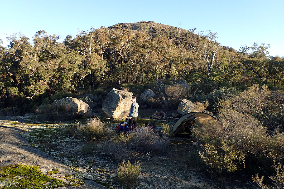
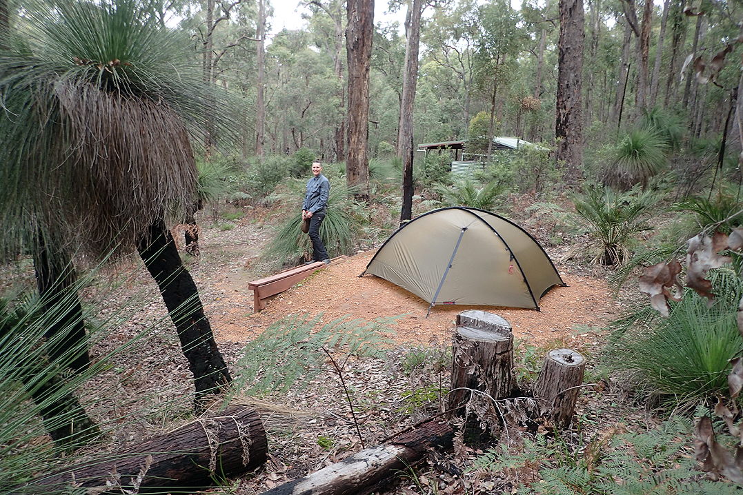
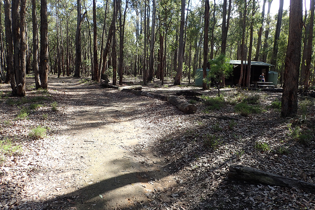
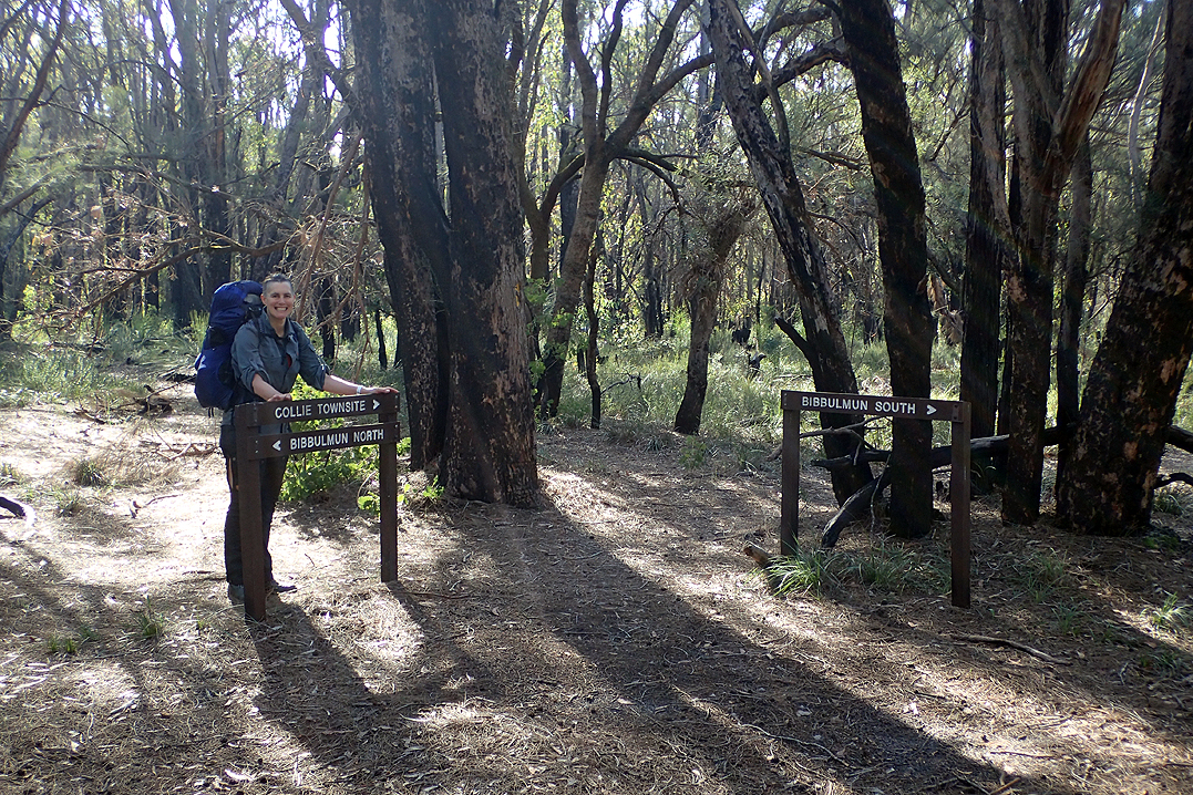
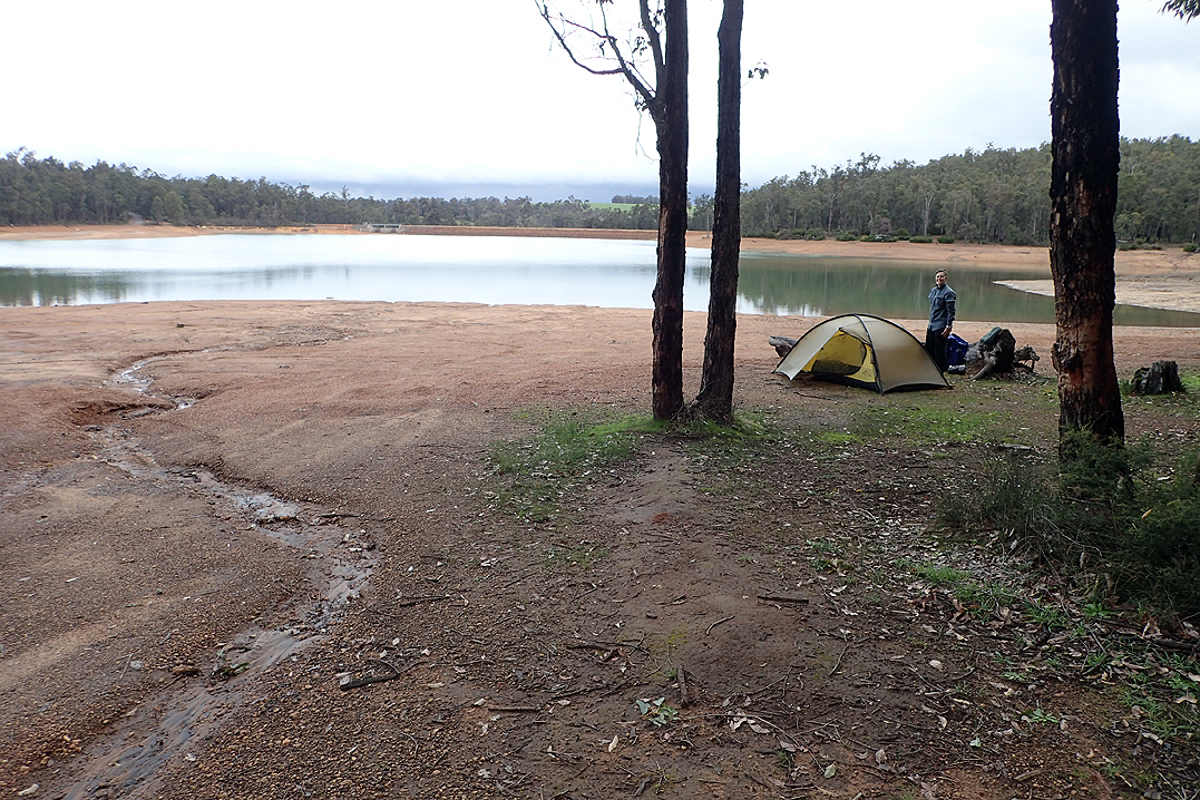
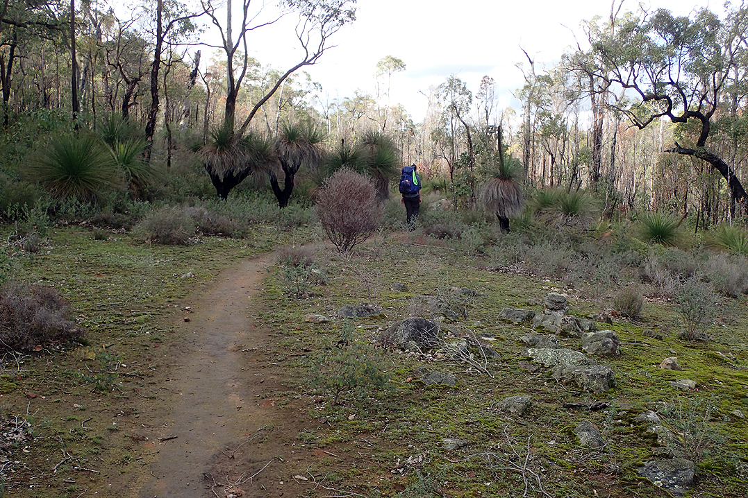
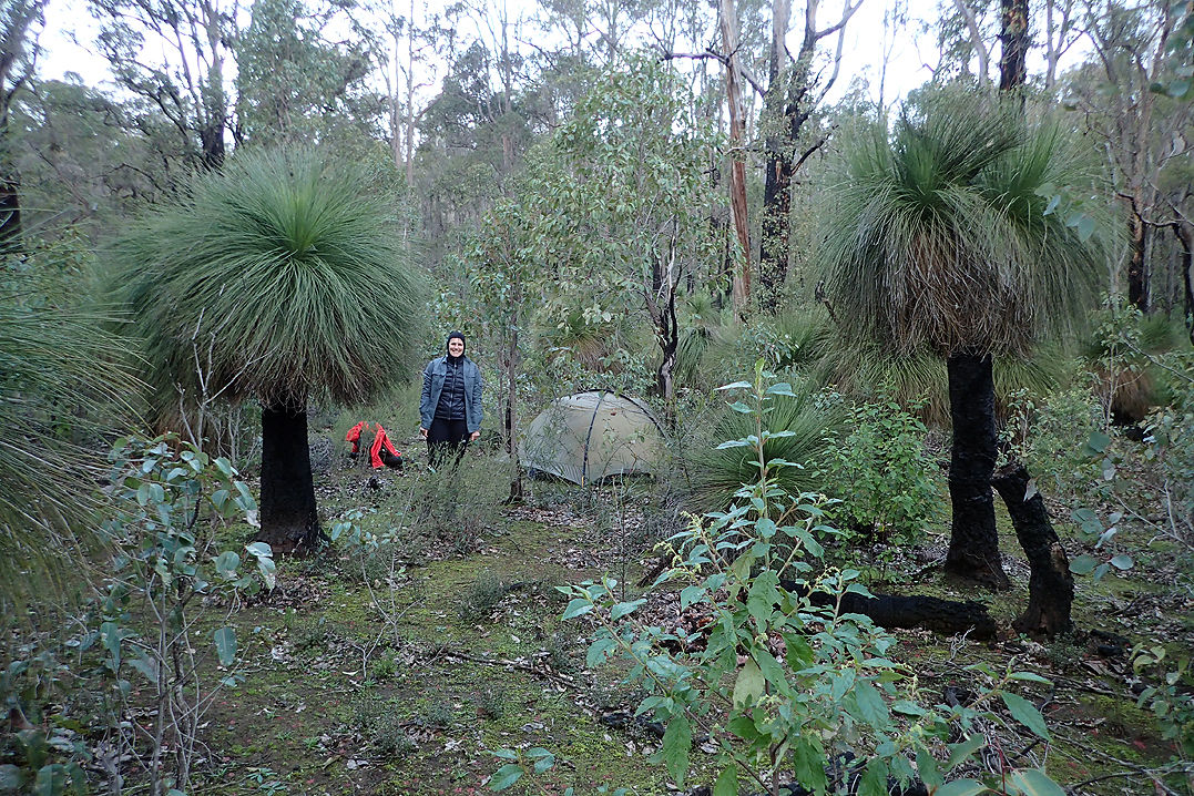
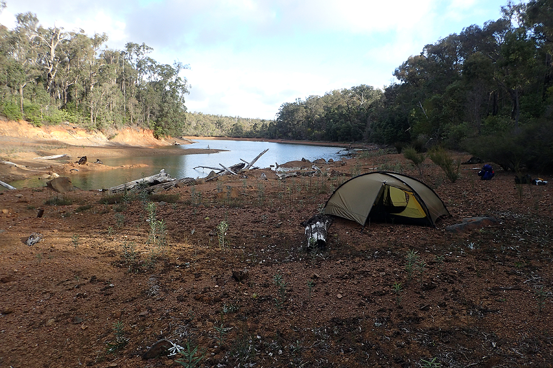
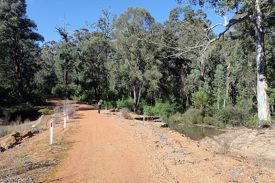
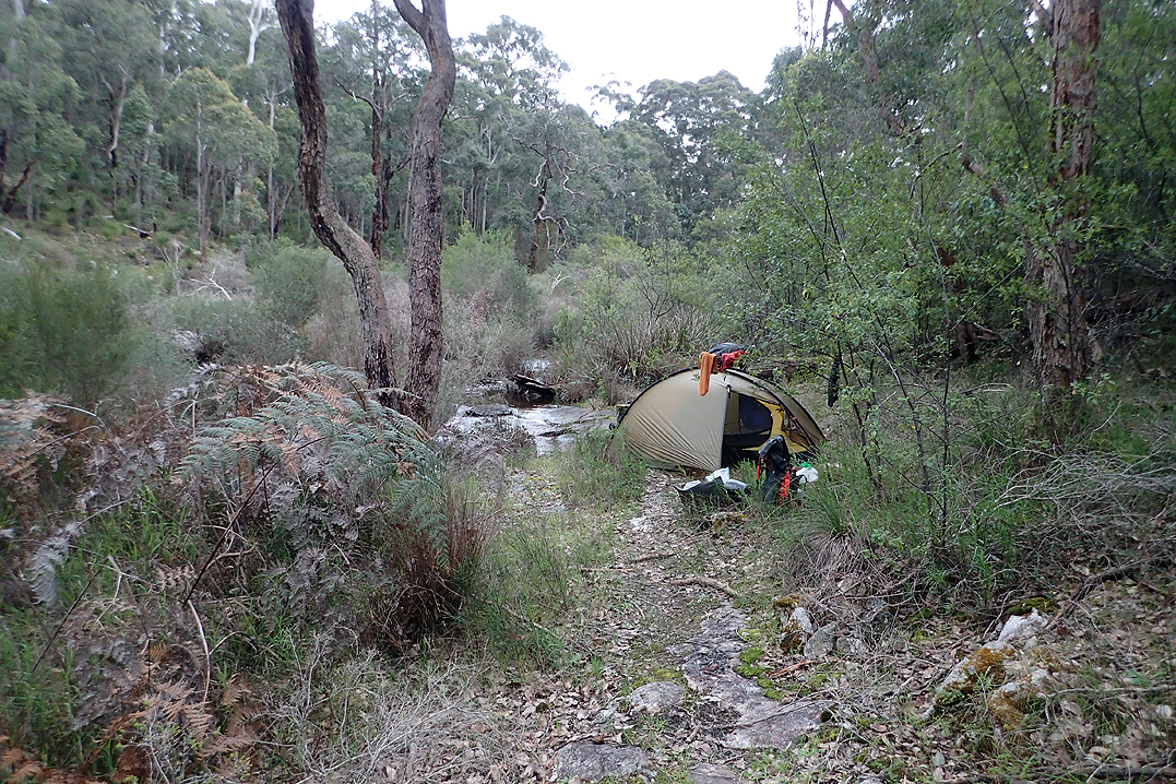
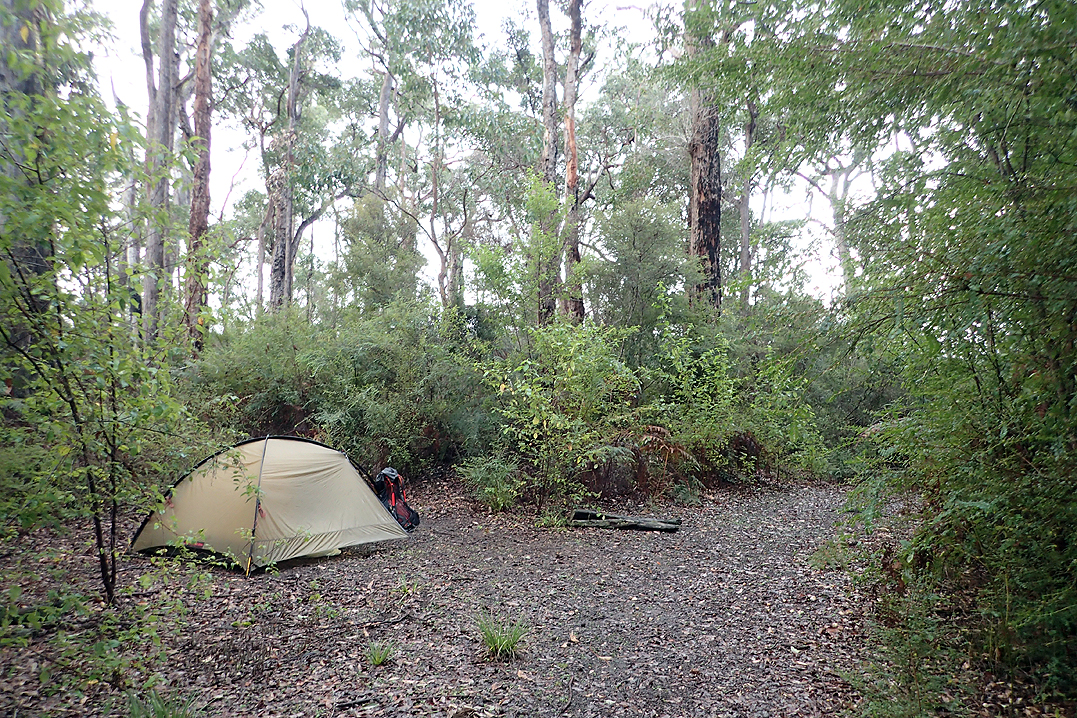
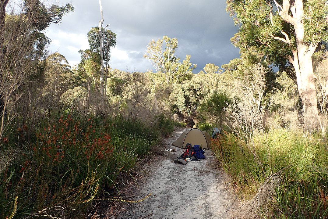
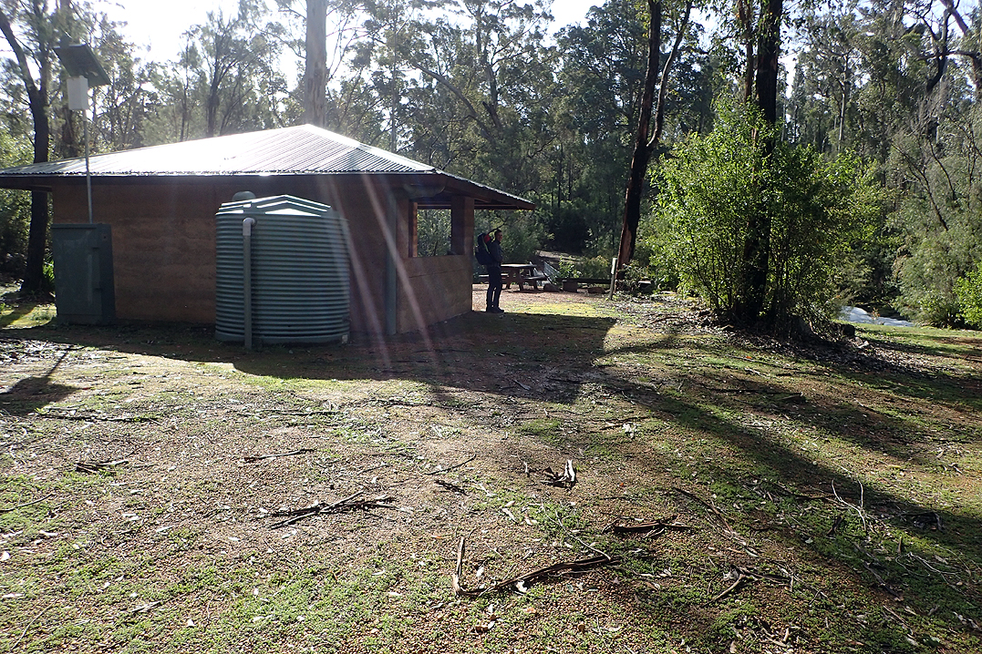
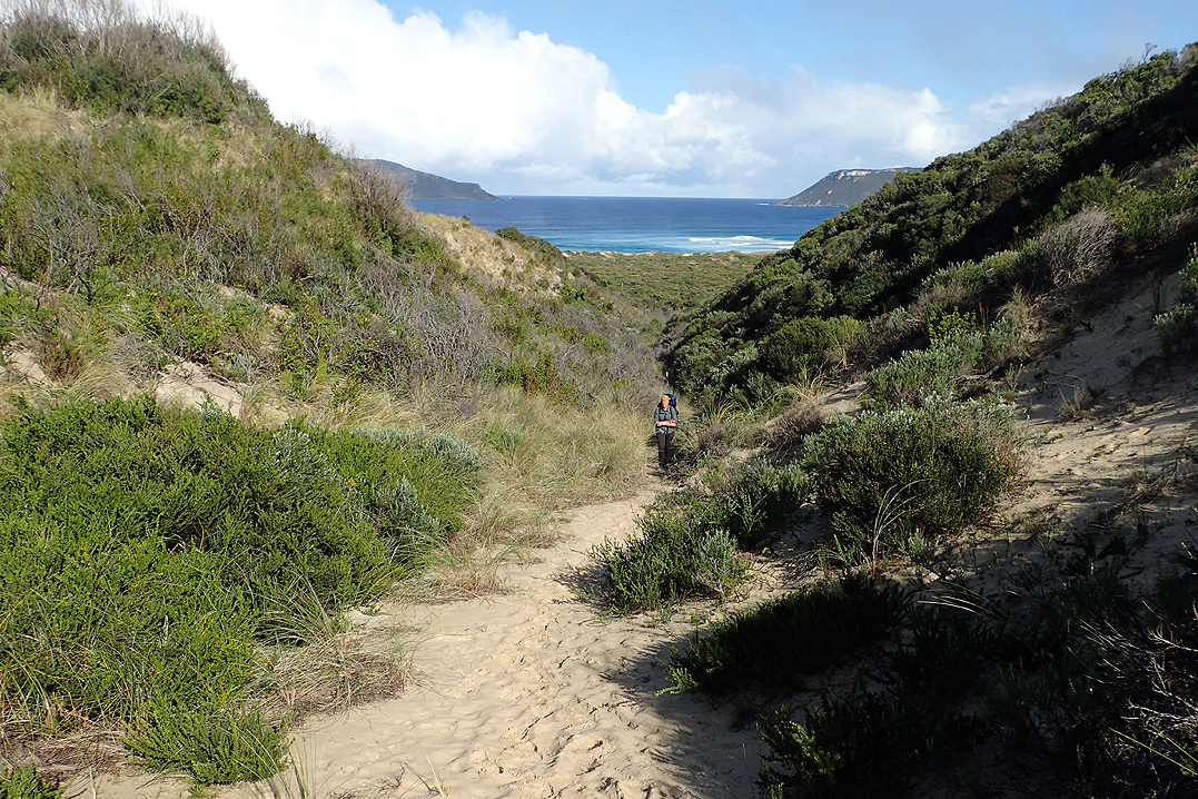
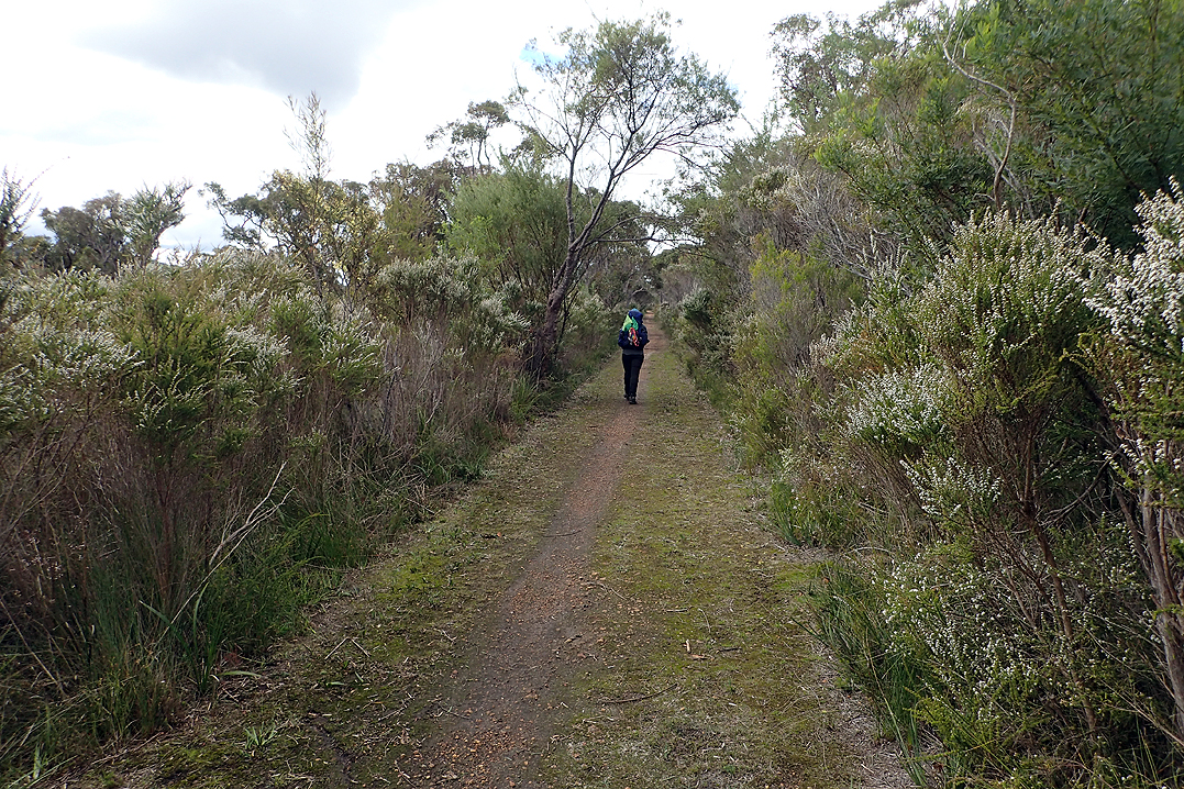
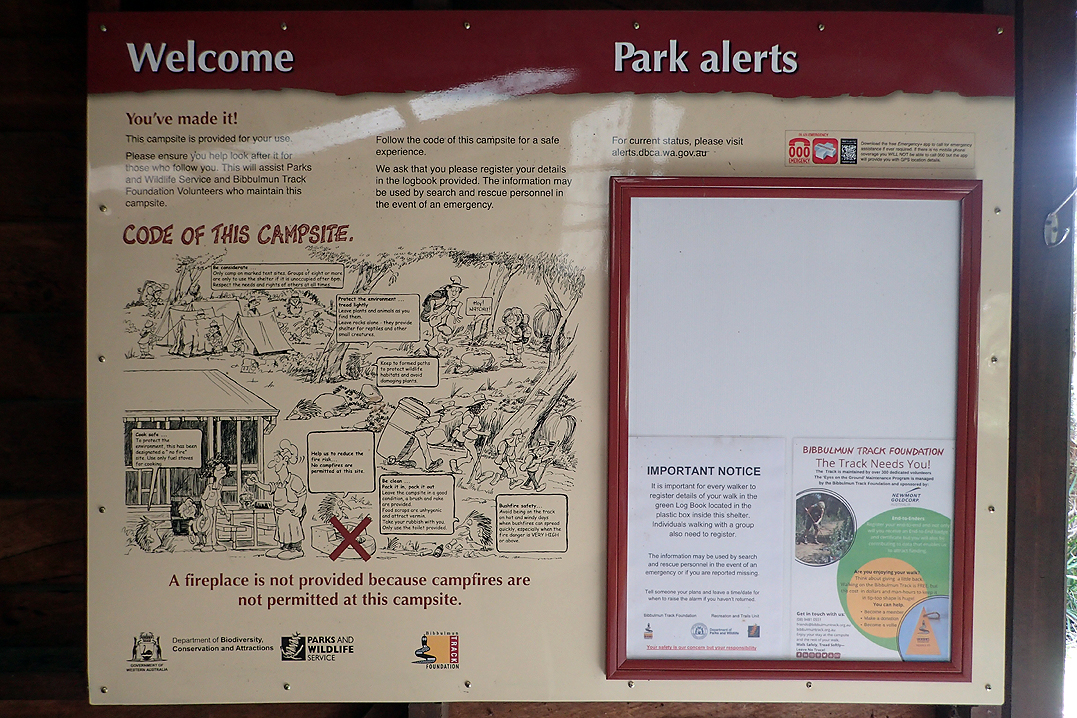
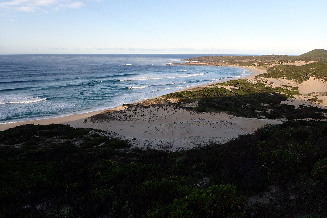
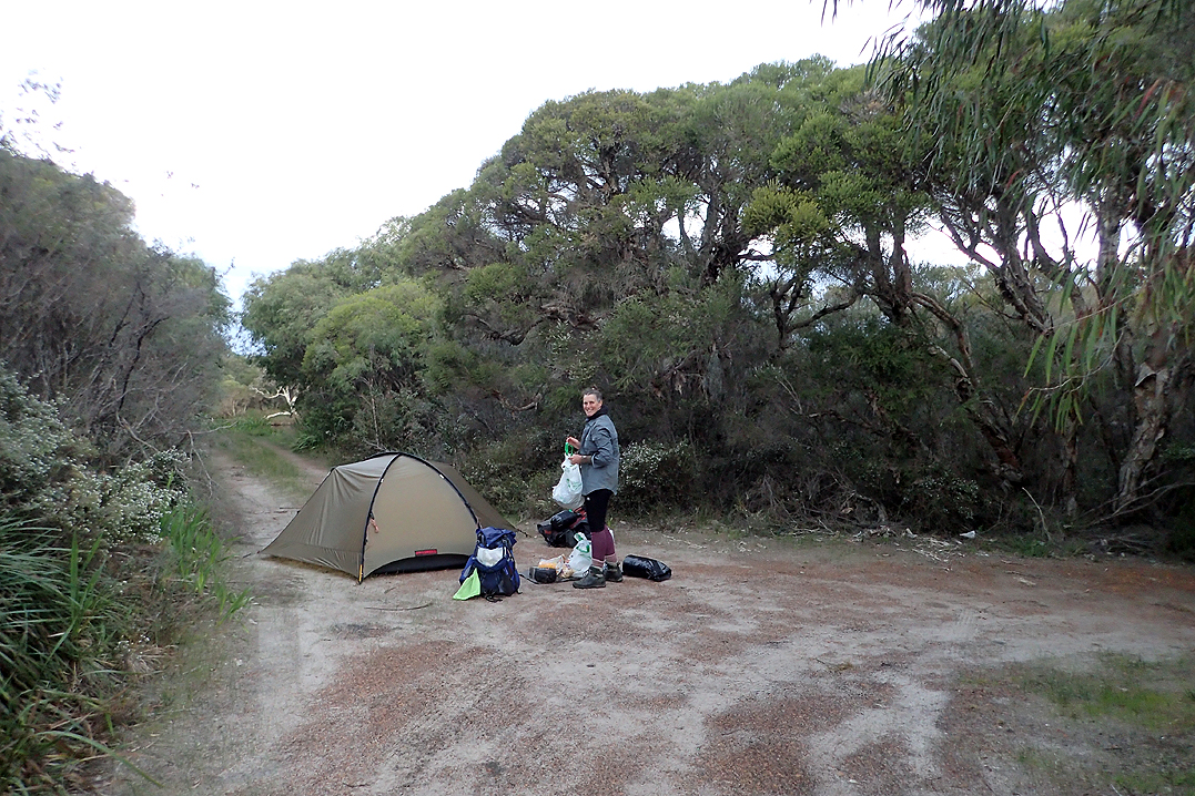
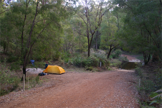
We camped in our tent every night, and not always at the huts as their locations then determine the distance that you can walk in a day. The best and most critical part of the huts, is that they all have rain water tanks as water supply can be limited in some areas. Along with showing the walking route in the map below, the red dots show the locations where we camped. According to the track's website, the average duration for the hike is six to eight weeks, and we ended up taking 43 days including one rest day in Pemberton.
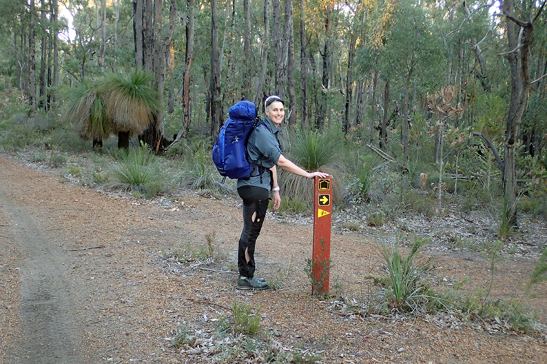
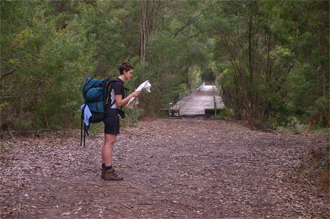
Use the following links to jump to the relevant track sections:
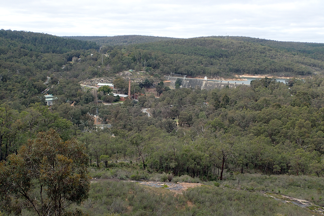
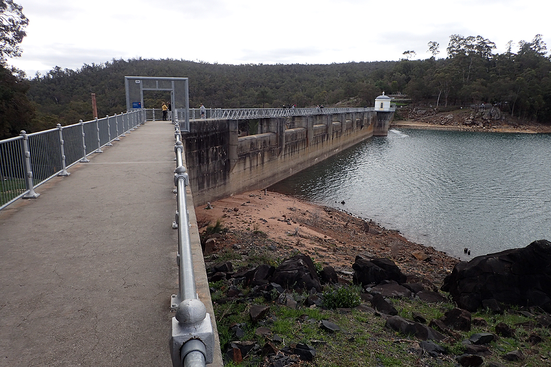
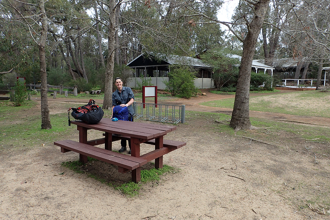
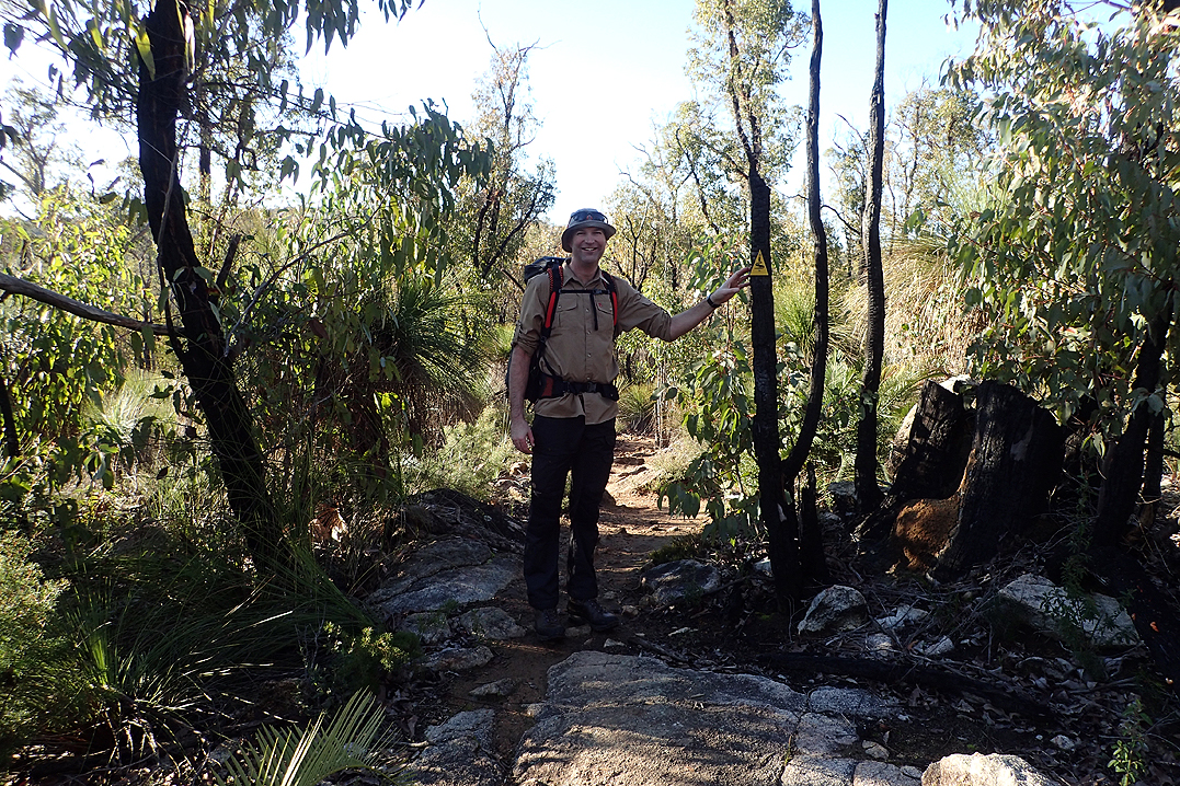
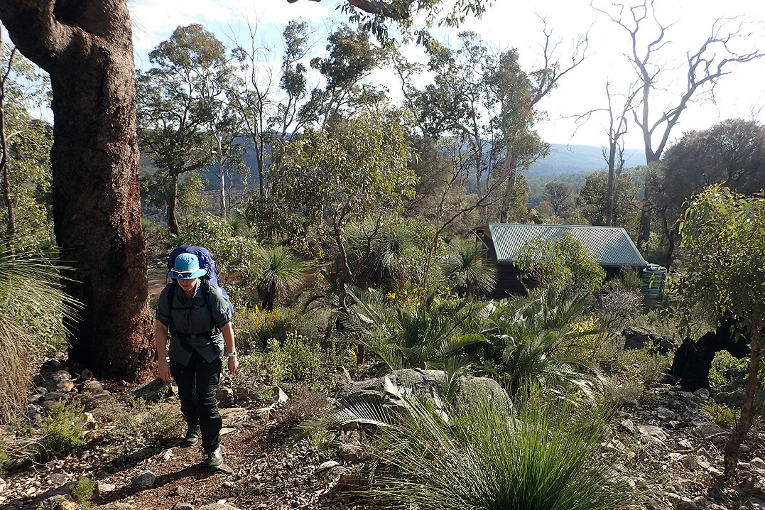
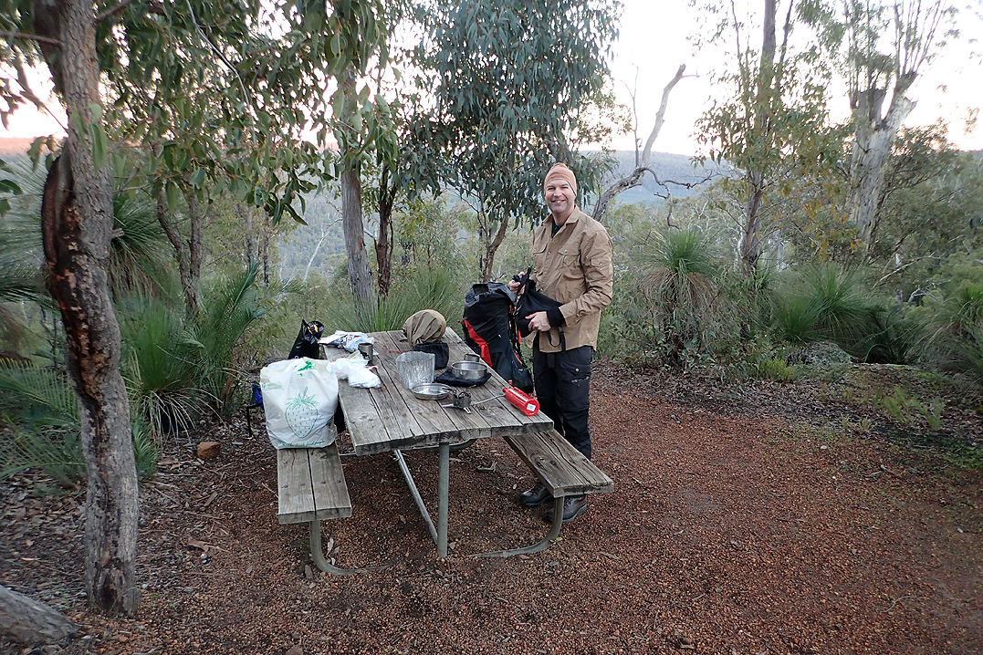
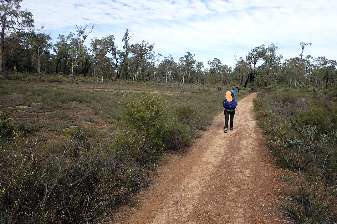
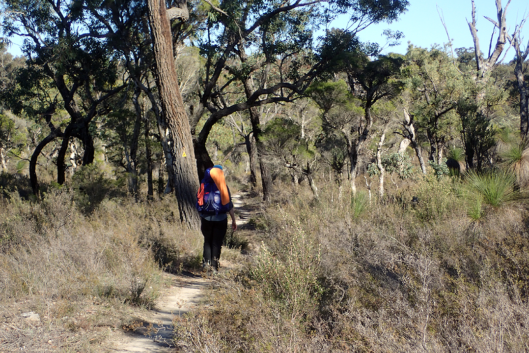
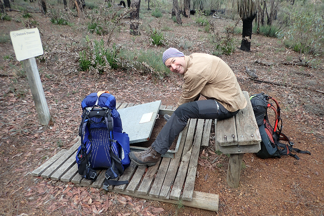
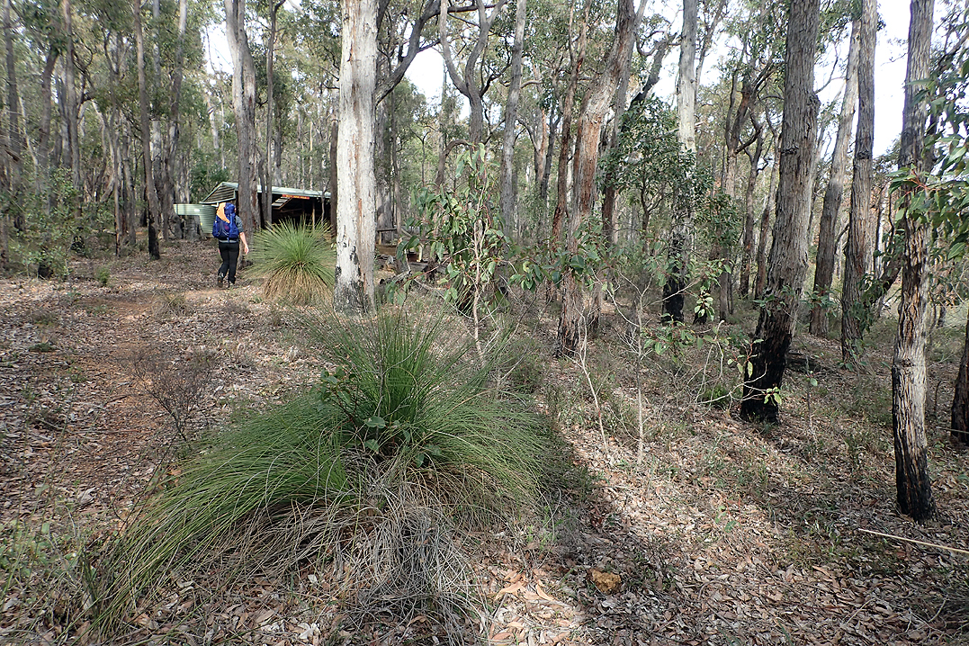
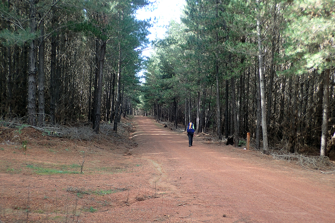
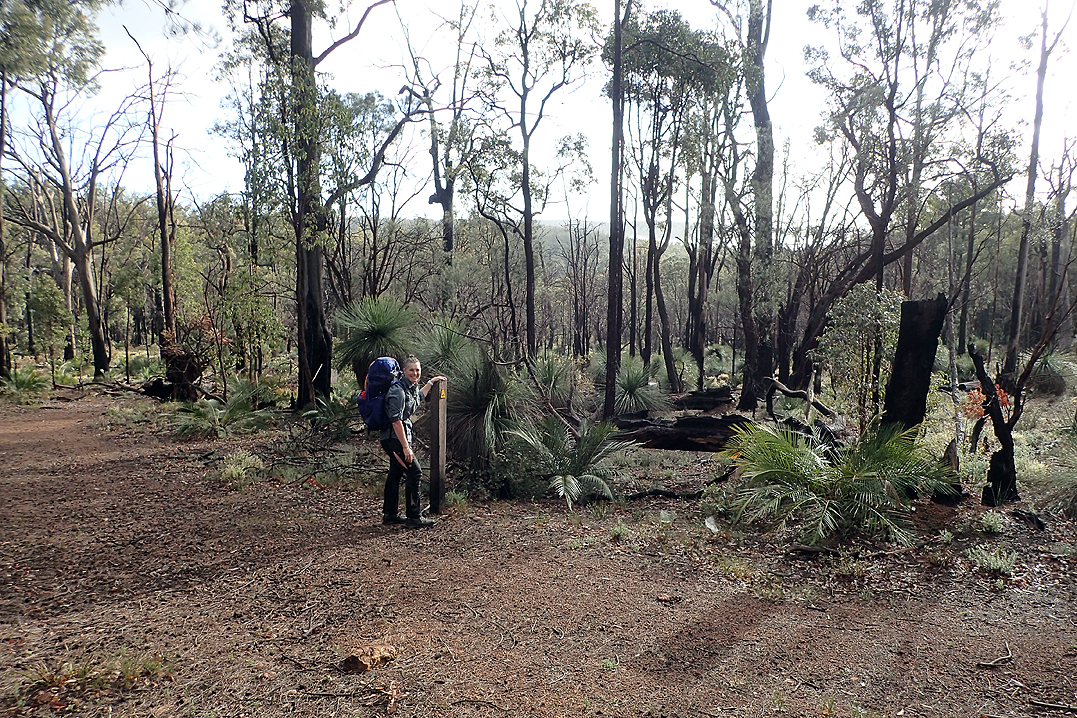
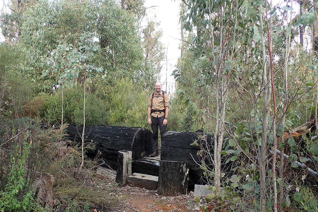
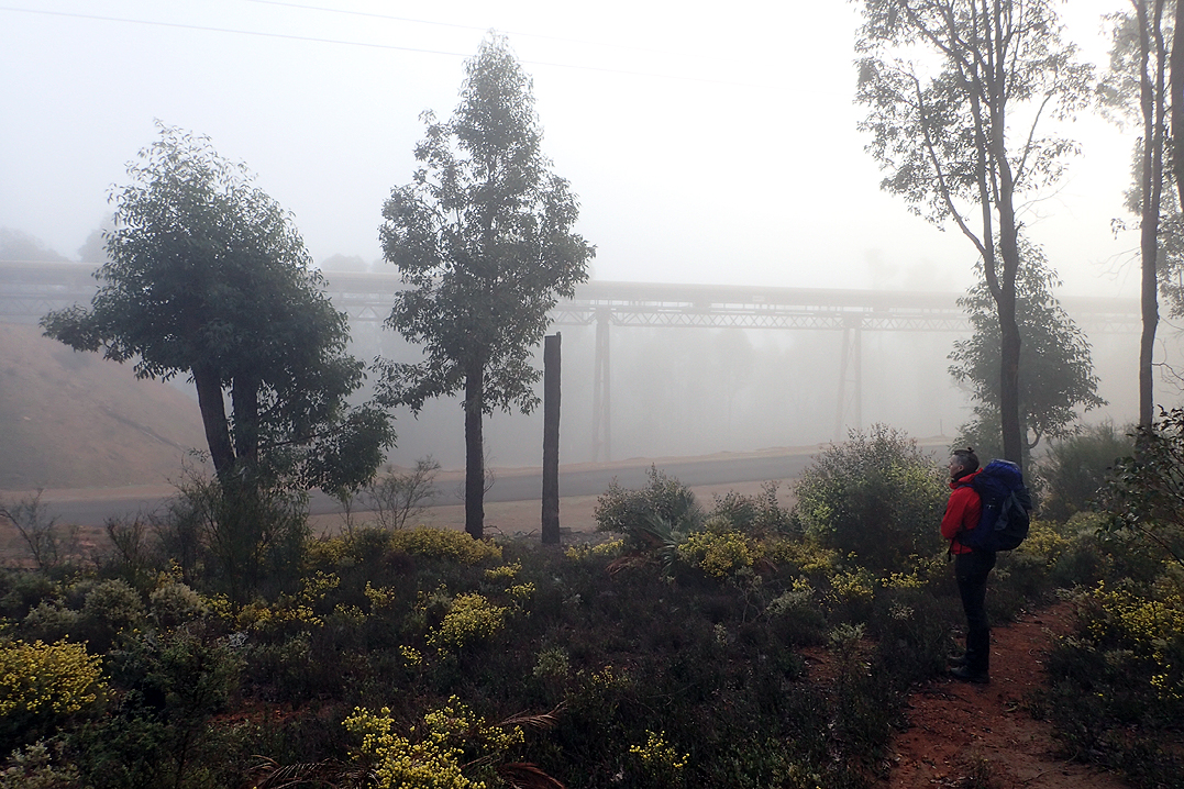
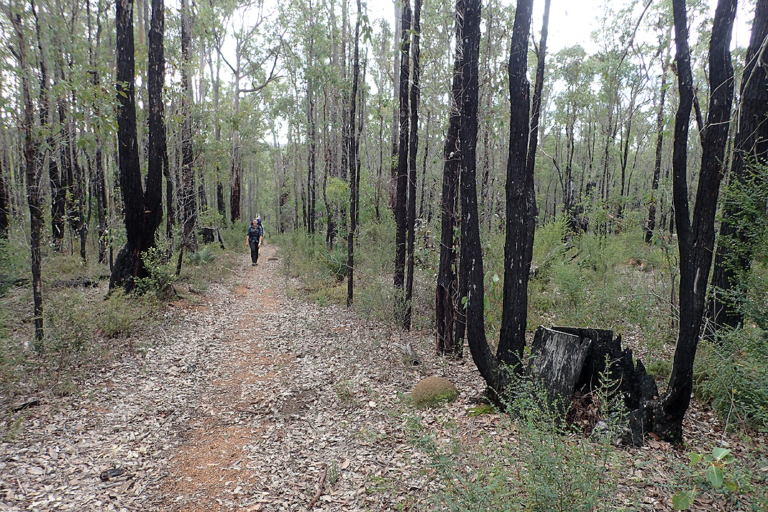
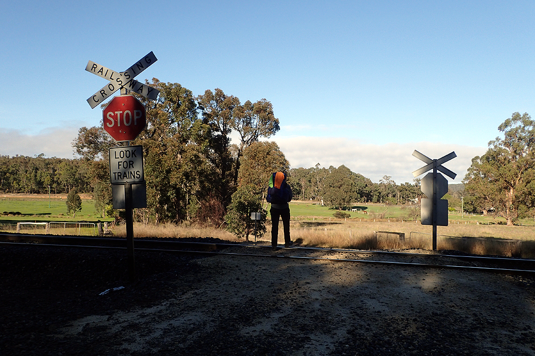
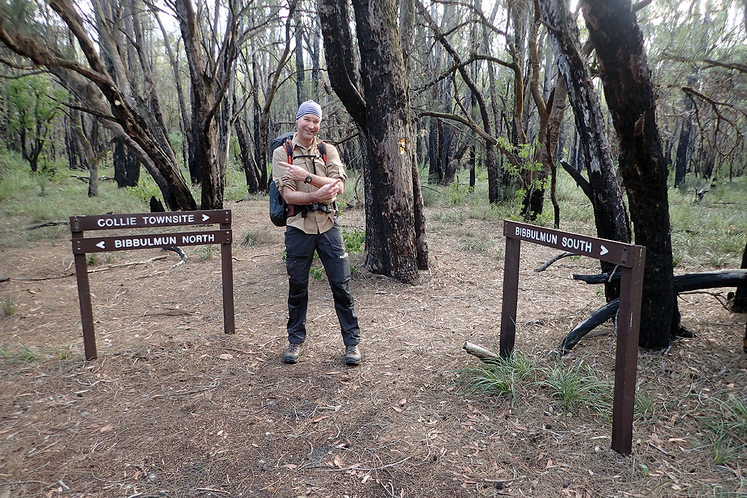
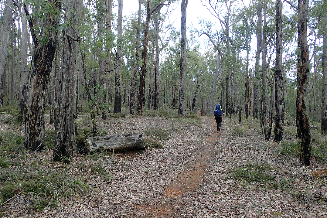
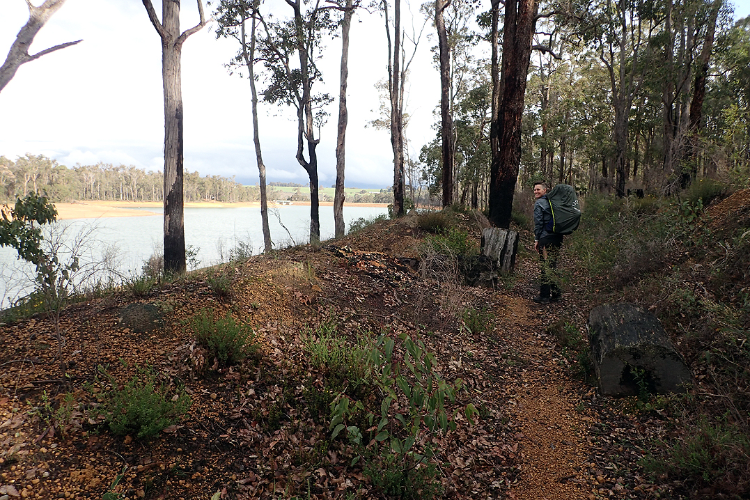
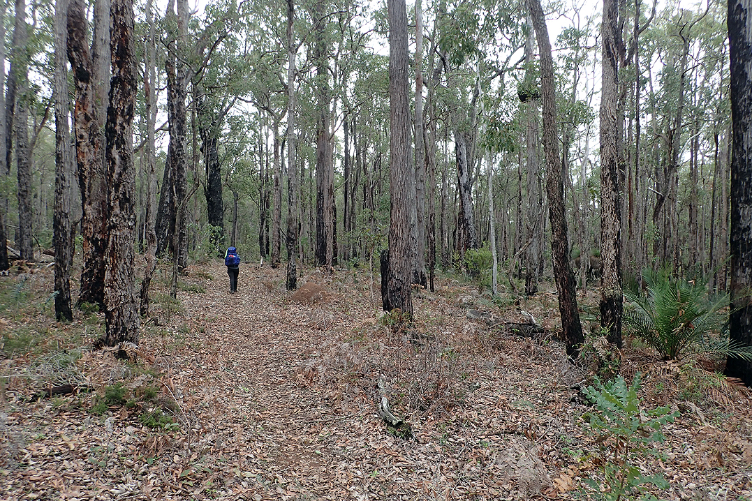
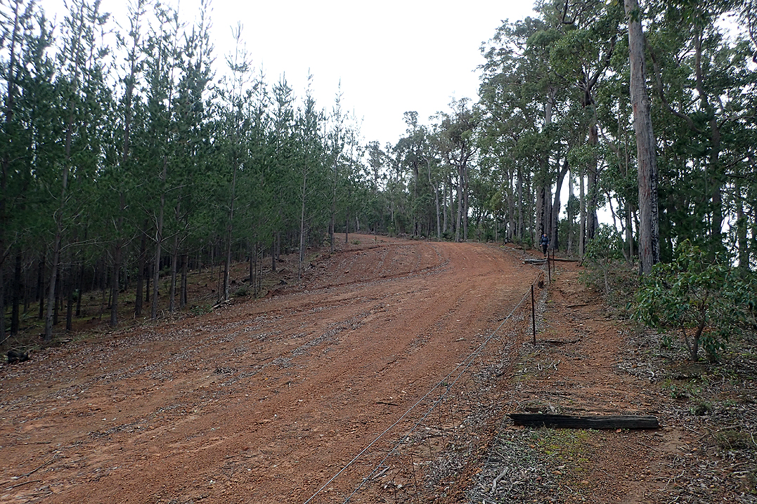
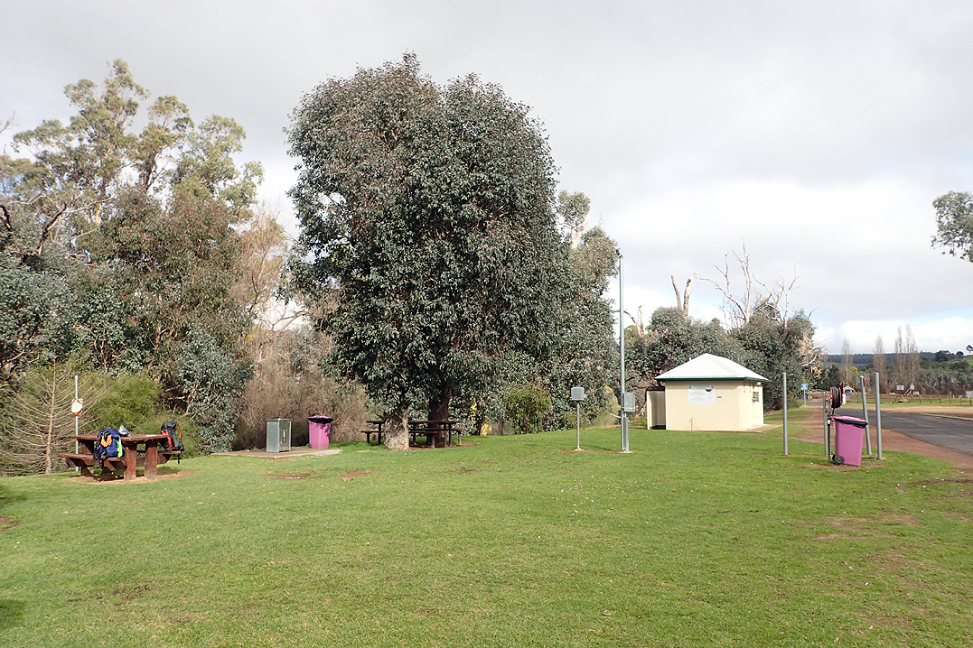
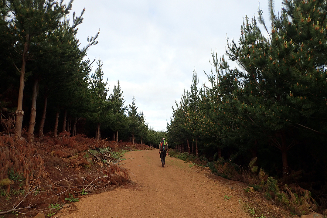
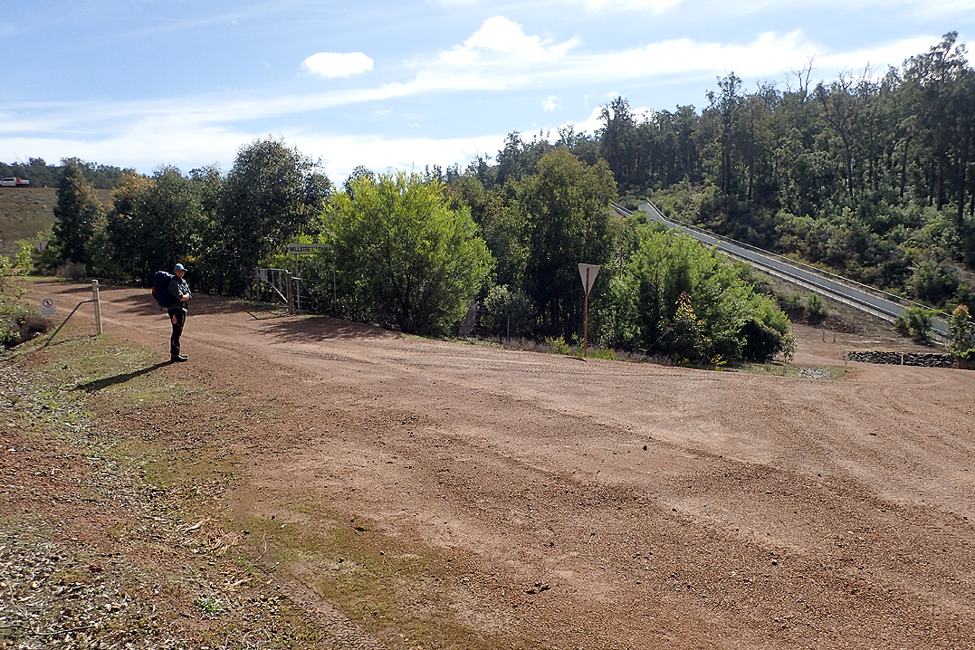
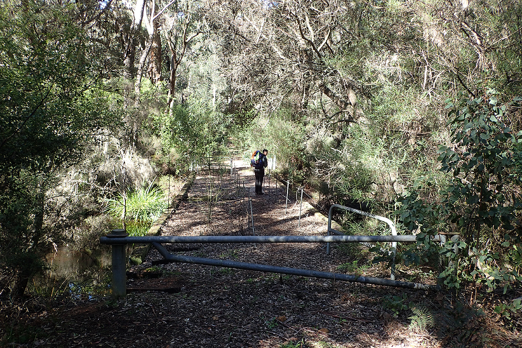
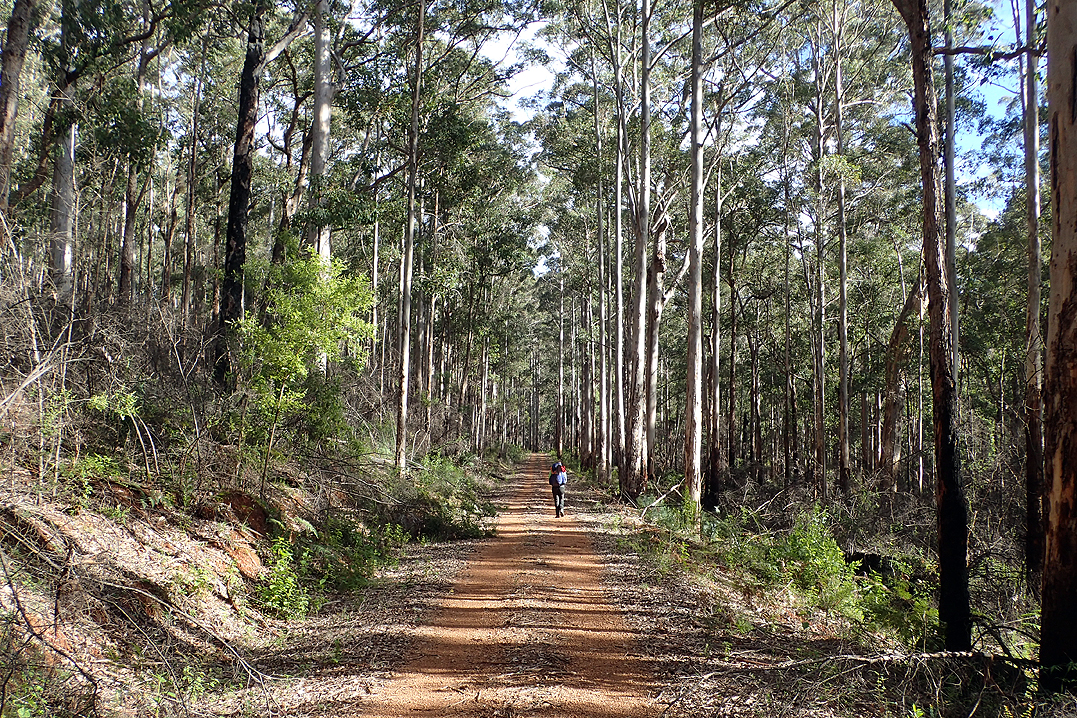
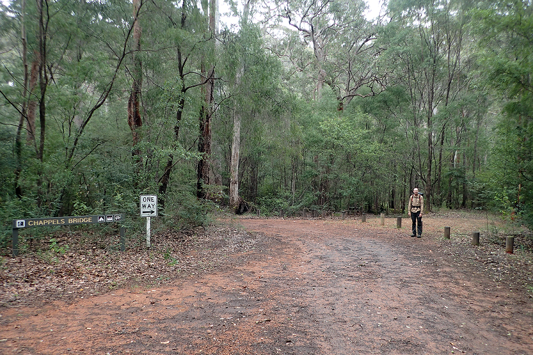
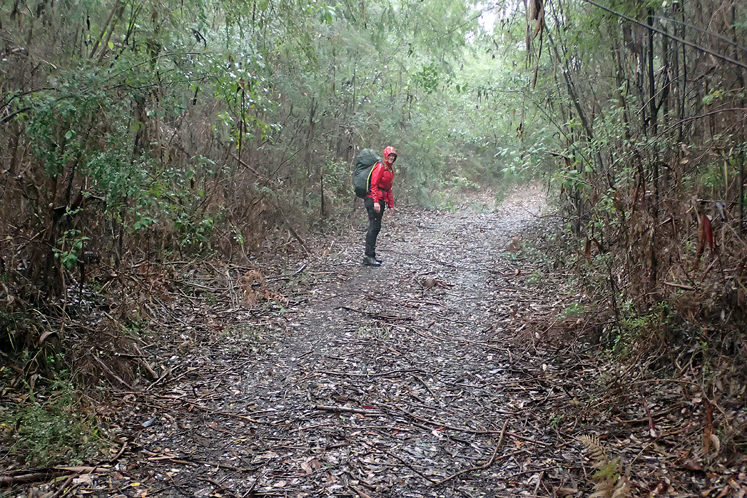
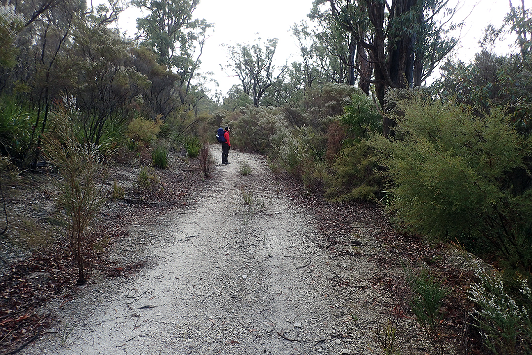
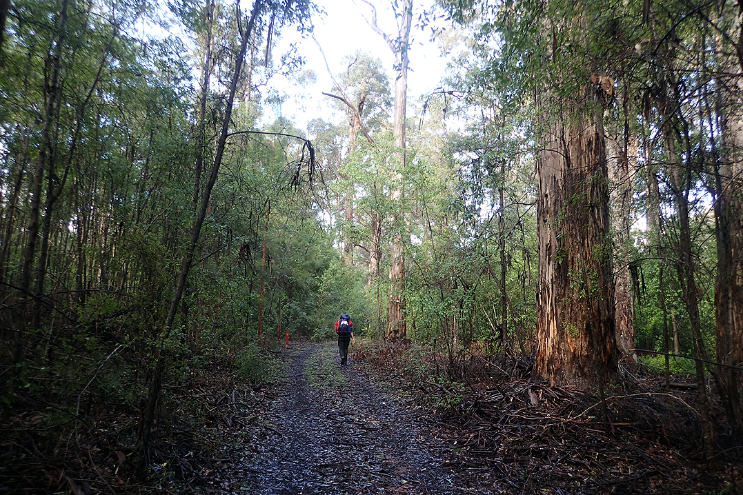
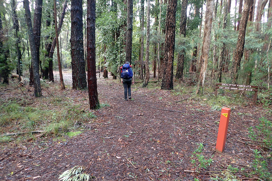
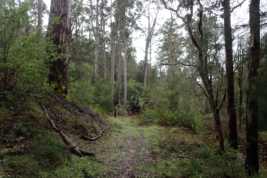
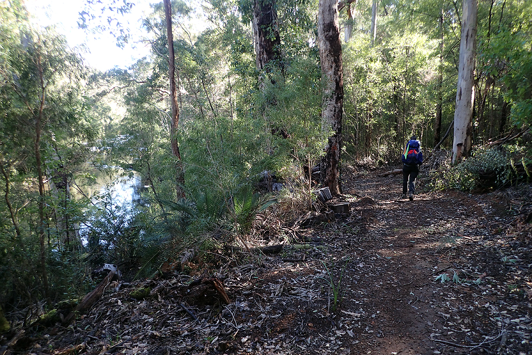
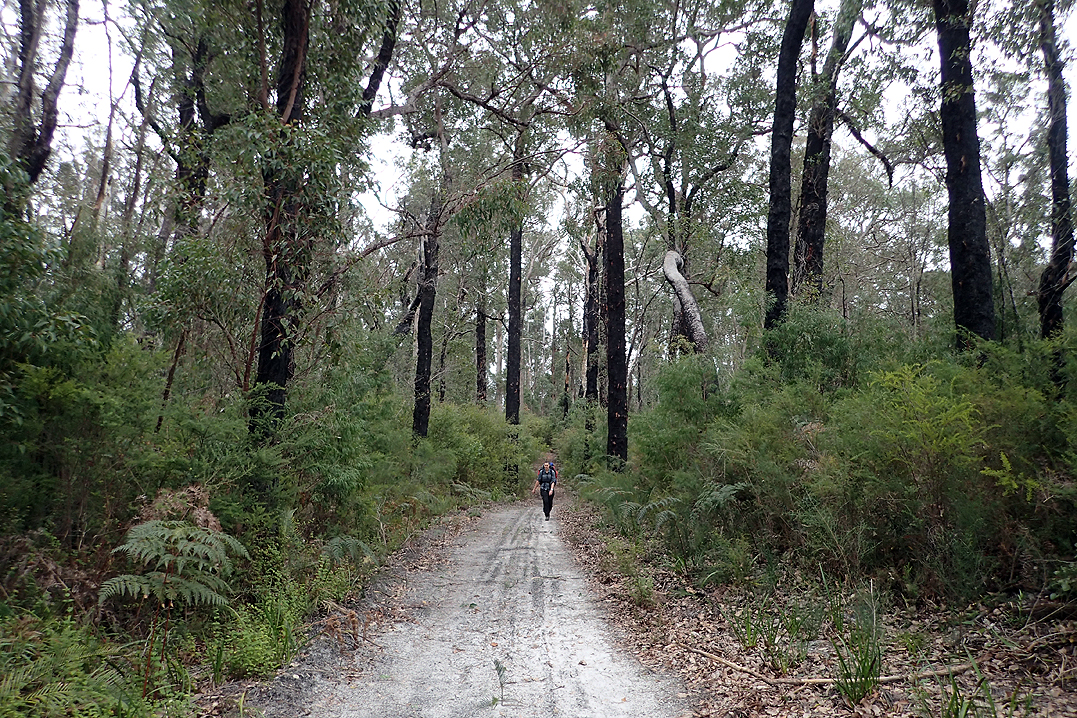
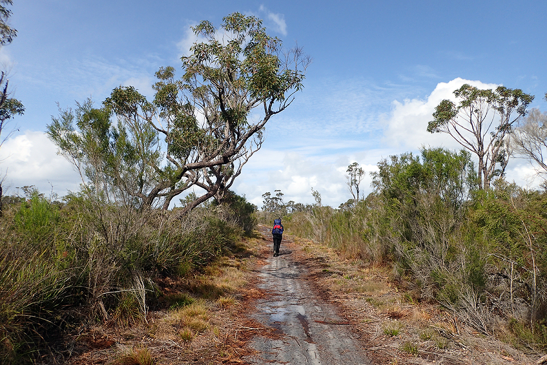
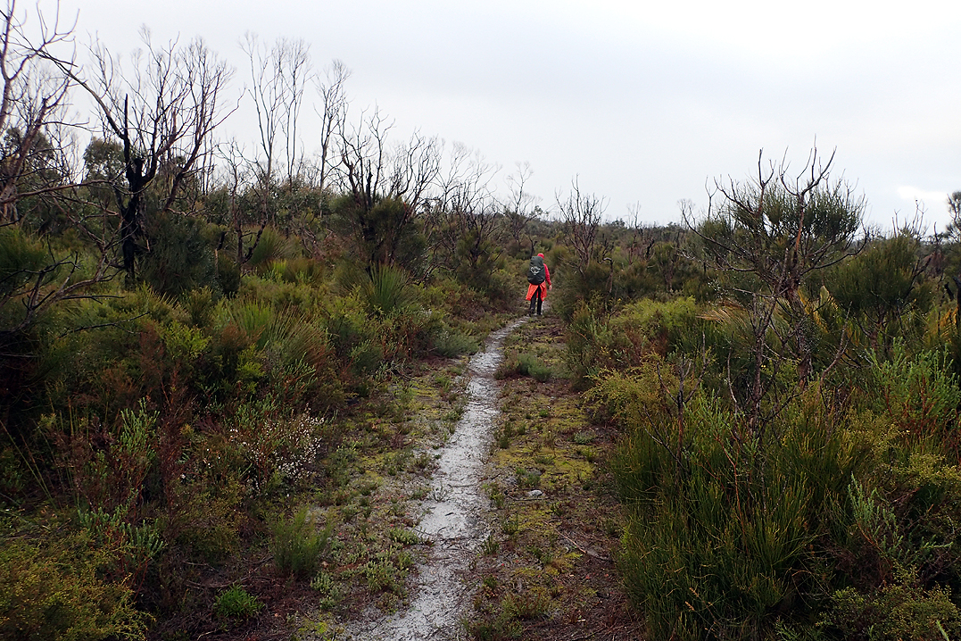
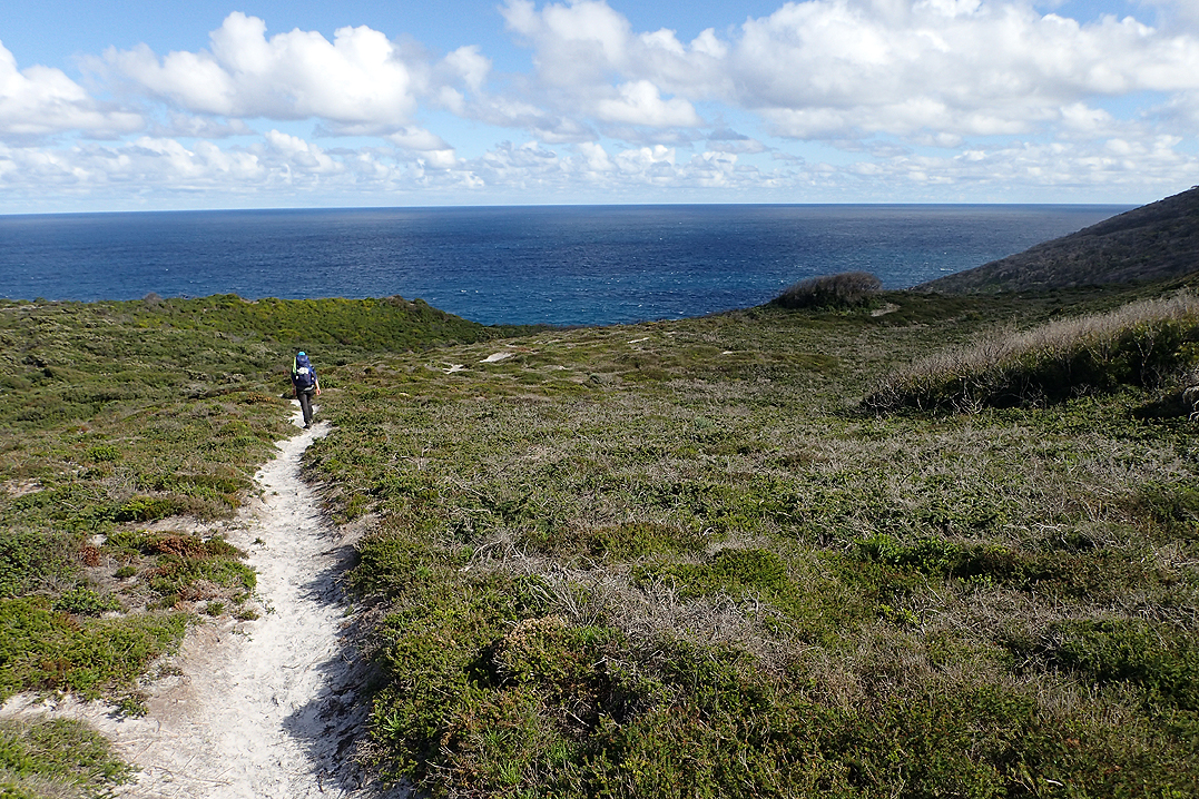
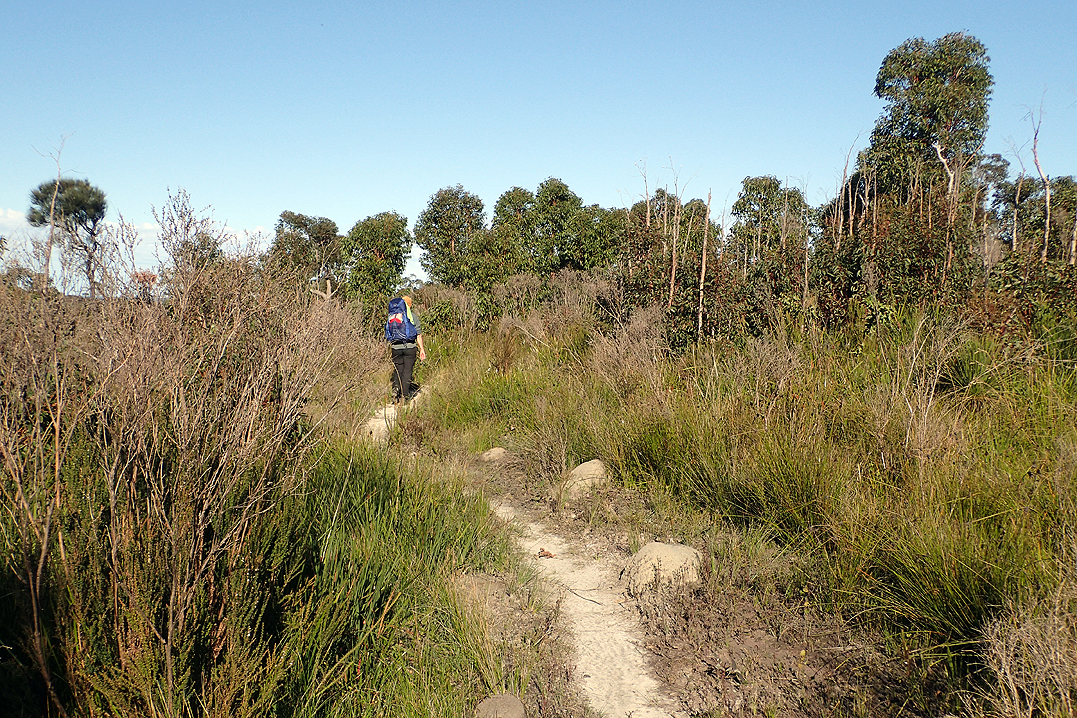
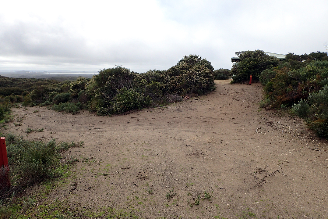
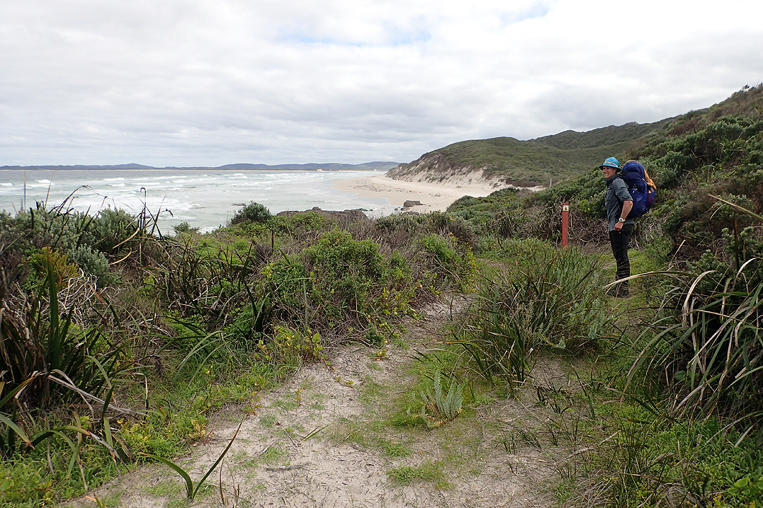
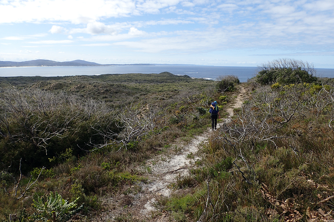
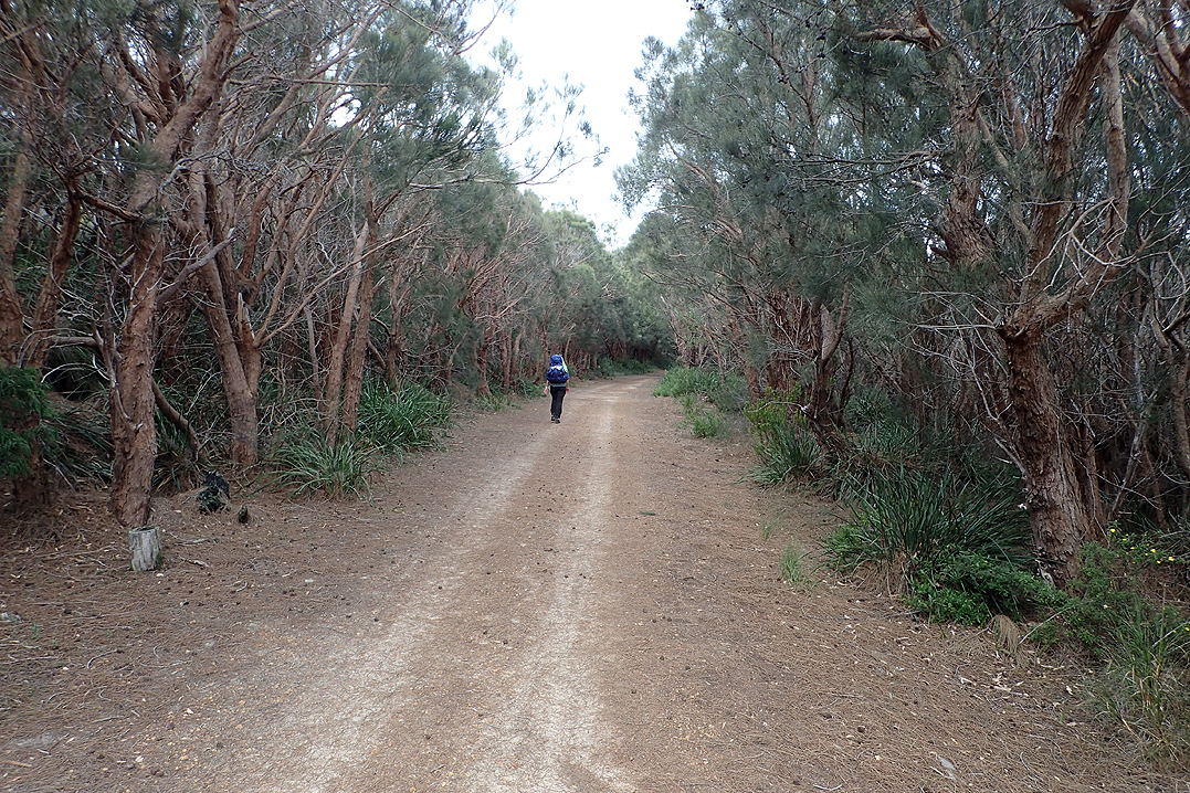
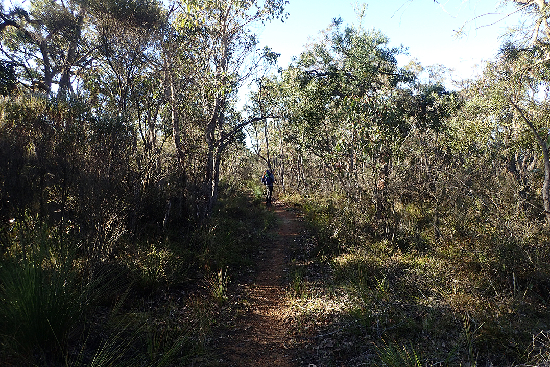
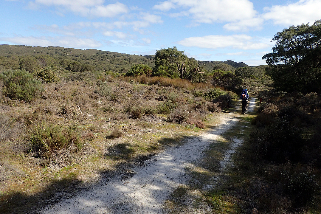
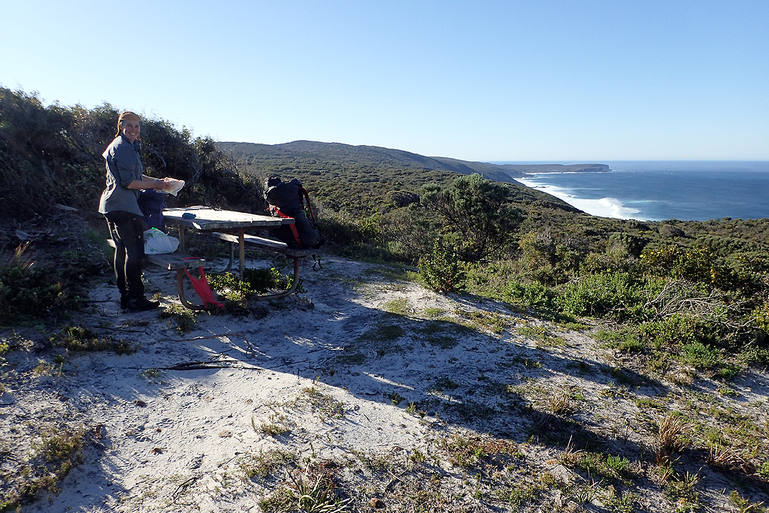
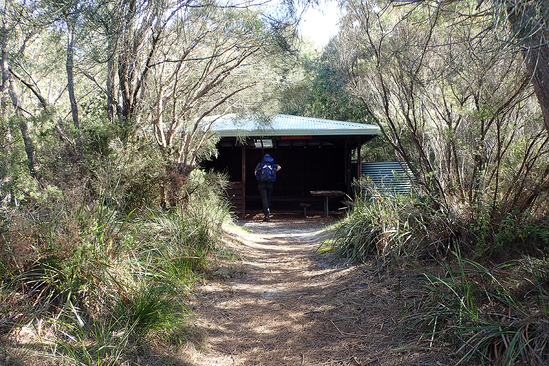
We caught the bus from home to Kalamunda and it was a 2 min walk from the Kalamunda Terminus to the start of the trail. It was a busy, warm Saturday. The trail leads sharply downhill from the start and is fairly rocky and twisty. We were surprised to see little rivers flowing and wild flowers. Our packs were heavy but manageable, but we were disappointed to miss a turn off and add on an extra 1.5 km to the day! Pretty soon we had crossed Mundaring Weir and passed the Hills Discovery Centre. We met a Bibb Vollie (volunteer) who advised us to take a rest day at Dwellingup but not at Collie as most people who have a day off at Collie bail! At this point we had only Dwellingup on our minds anyway as our first goal.
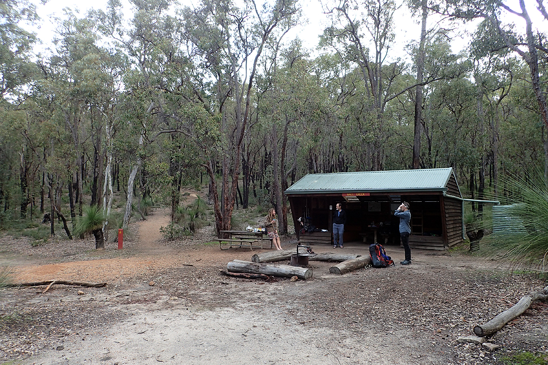
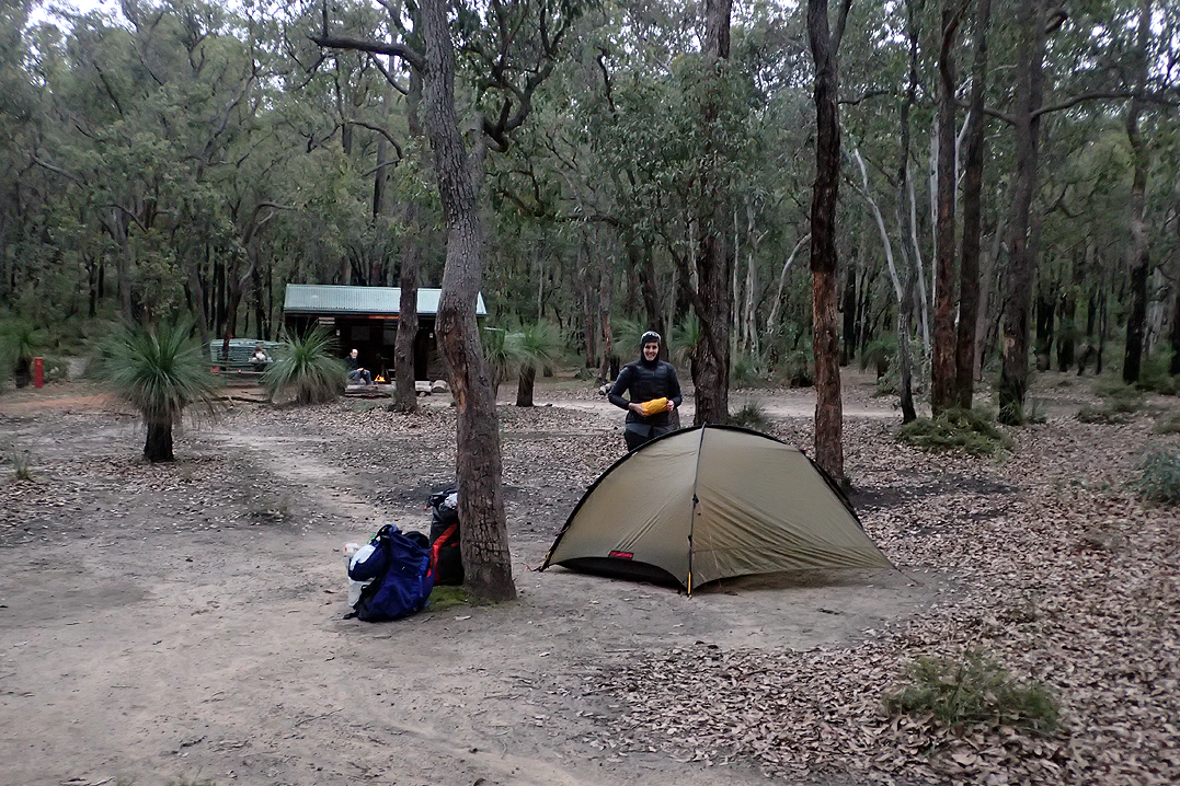
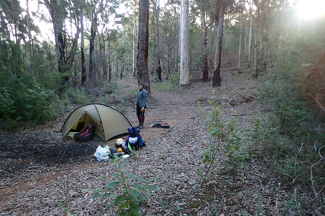
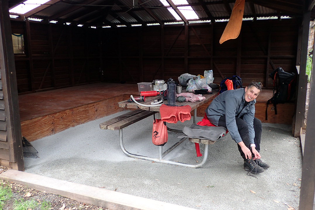
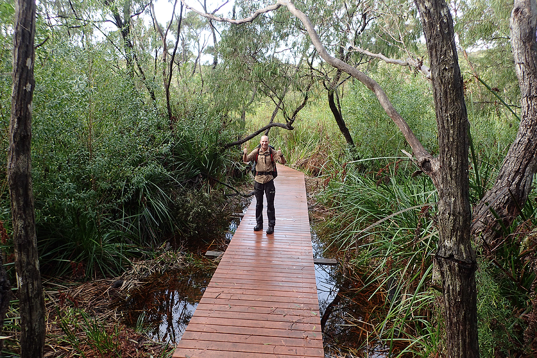
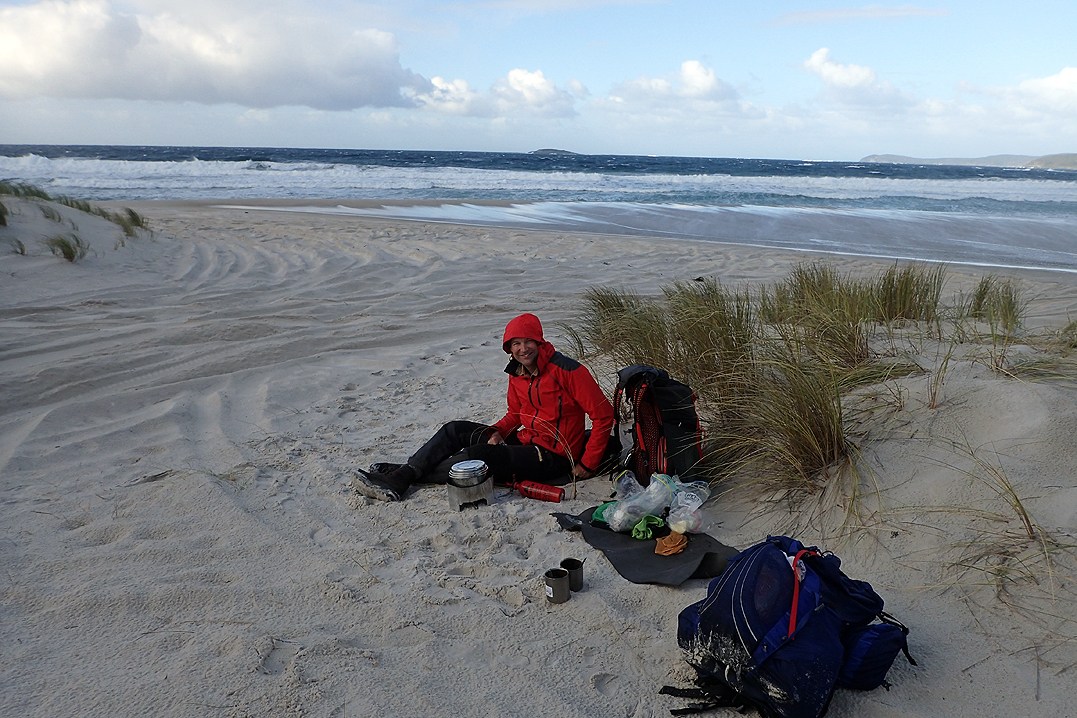
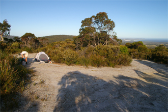
We arrived at Ball Creek Campsite at 16:30 and met Jordy, who had End to Ended (E2E) from Albany and this would be his last night on the trail. He offered us various things eg. A herbal tea which you could also smoke and would help you relax?! We declined, best not to try something new at this point. Kim was also camping at the hut, having walked a few days in the local area. They sat up late into the night talking at the fire,burning a dead grass tree which lasted for hours. We hit the sack in our new tent after inflating our new Nemo mattresses which seemed impossibly light (and proved to be just that) and lowered ourselves gingerly onto them.
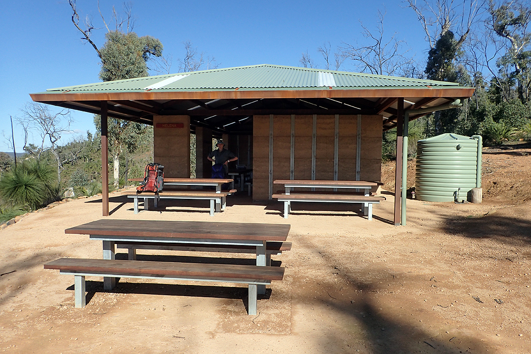
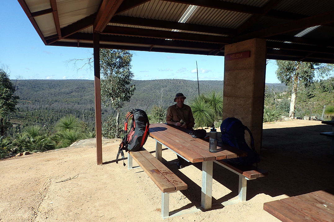
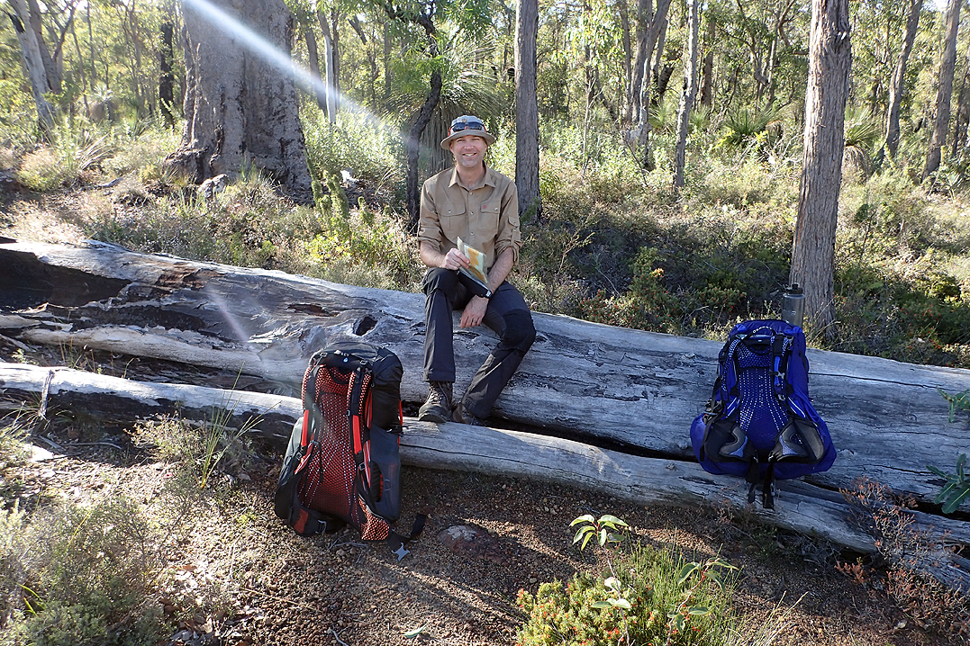
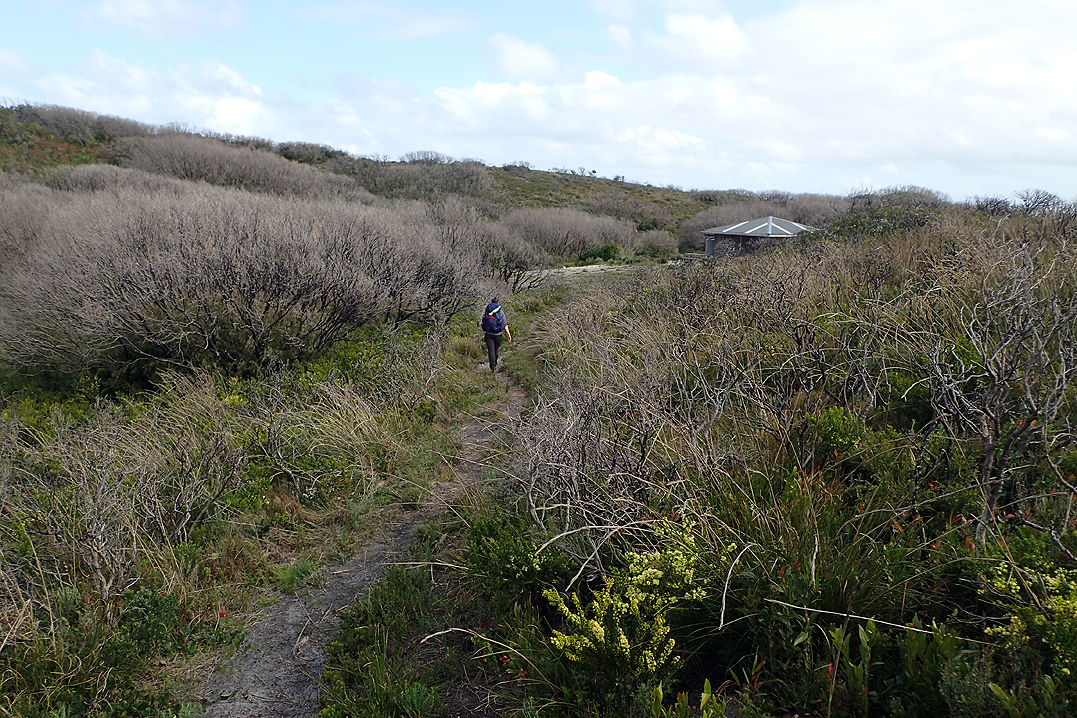
Jordy was up before the sun, the end in sight spurring him on, he attached a stuffed piggy toy (which he found in a tree) to his backpack and hit the trail. We left after 08:00. Yesterday we had skipped a hut which is called “Double Hutting ''. Today we would "Triple Hut". The walk was quite challenging after Helena Hut (great views from here) and we met a solo lady at the next hut (Waalegh) where we stopped for our warm meal around 15:00. She was quite surprised that we were going on to the next hut. We were too! Her plan was to single hut all the way. Our plan was to get to Dwellingup in just over 8 days in order not to carry too much food. Most hikers that we met on this section had food drops. We wanted to see if we could be self-sufficient for 8 nights. If you can do that then pretty much the world is your oyster when it comes to thru hikes.
Needless to say we got to Beraking Hut as the sun was setting to the surprise of the two hikers who were settling down for the night. We could barely sit down at the bench our legs felt so sore! As we got up the next morning we saw the other two leaving the hut at about 07:30. Ahh, now we see! You can’t wake with the sun, as was our initial plan, you really have to wake in the dark and leave at first light.

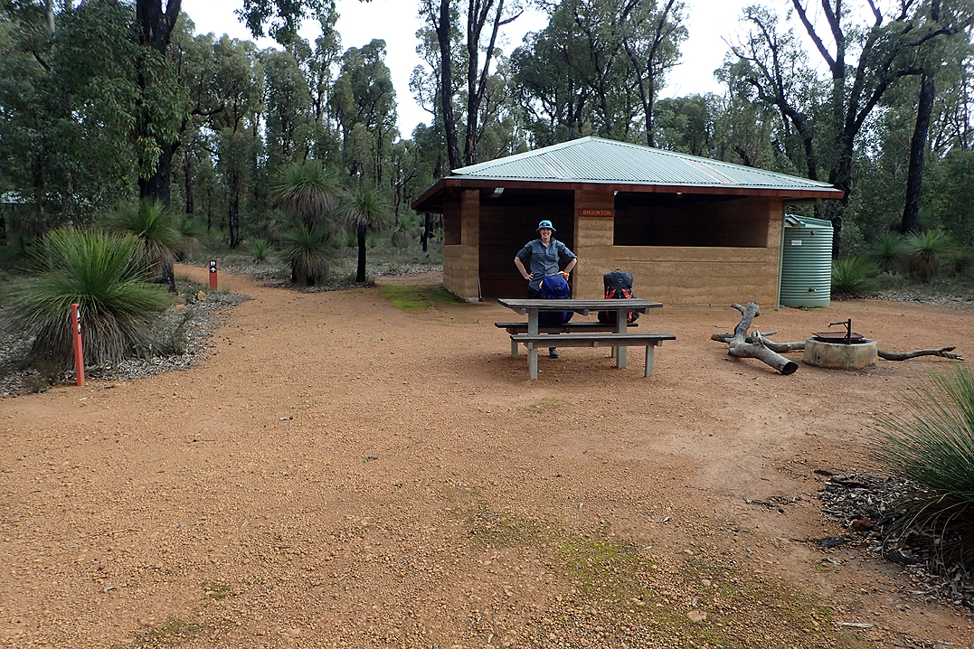
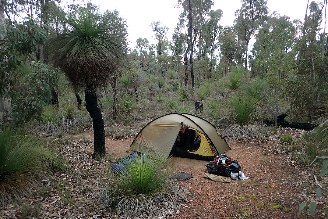
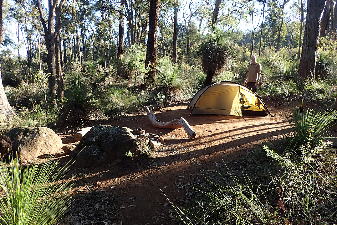
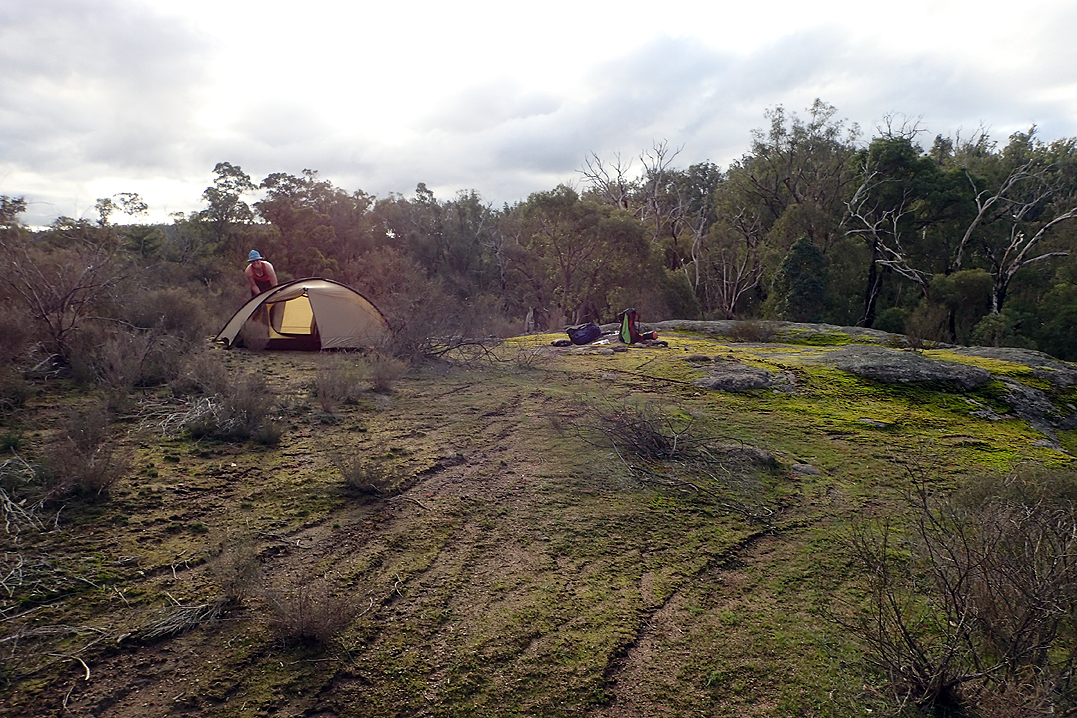
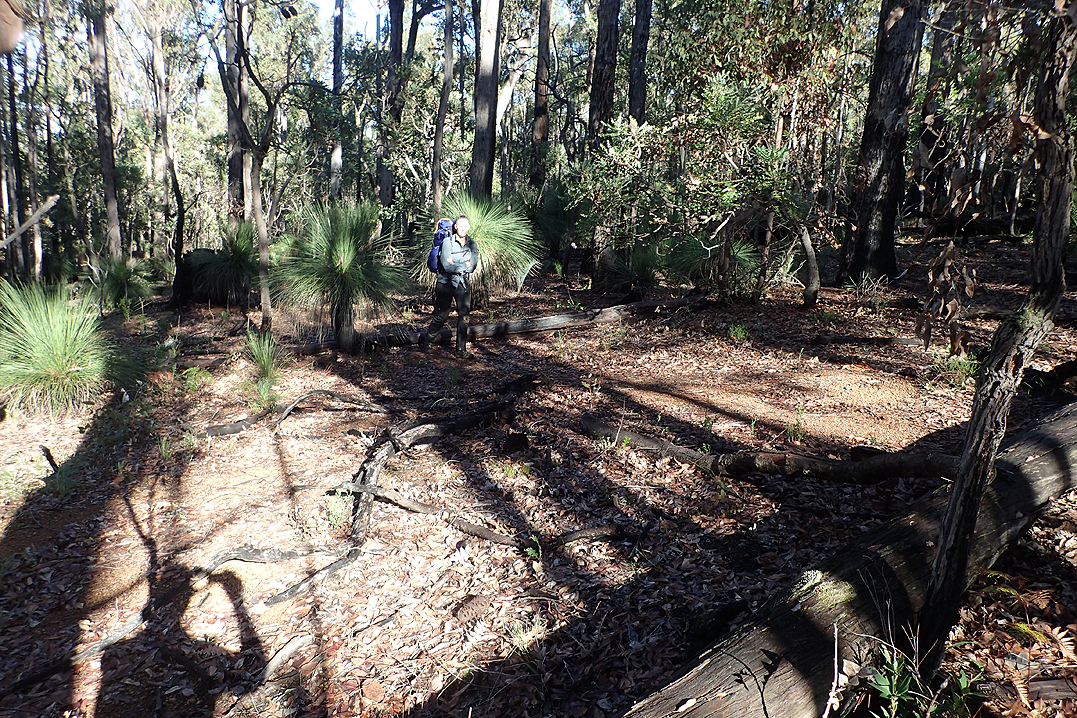
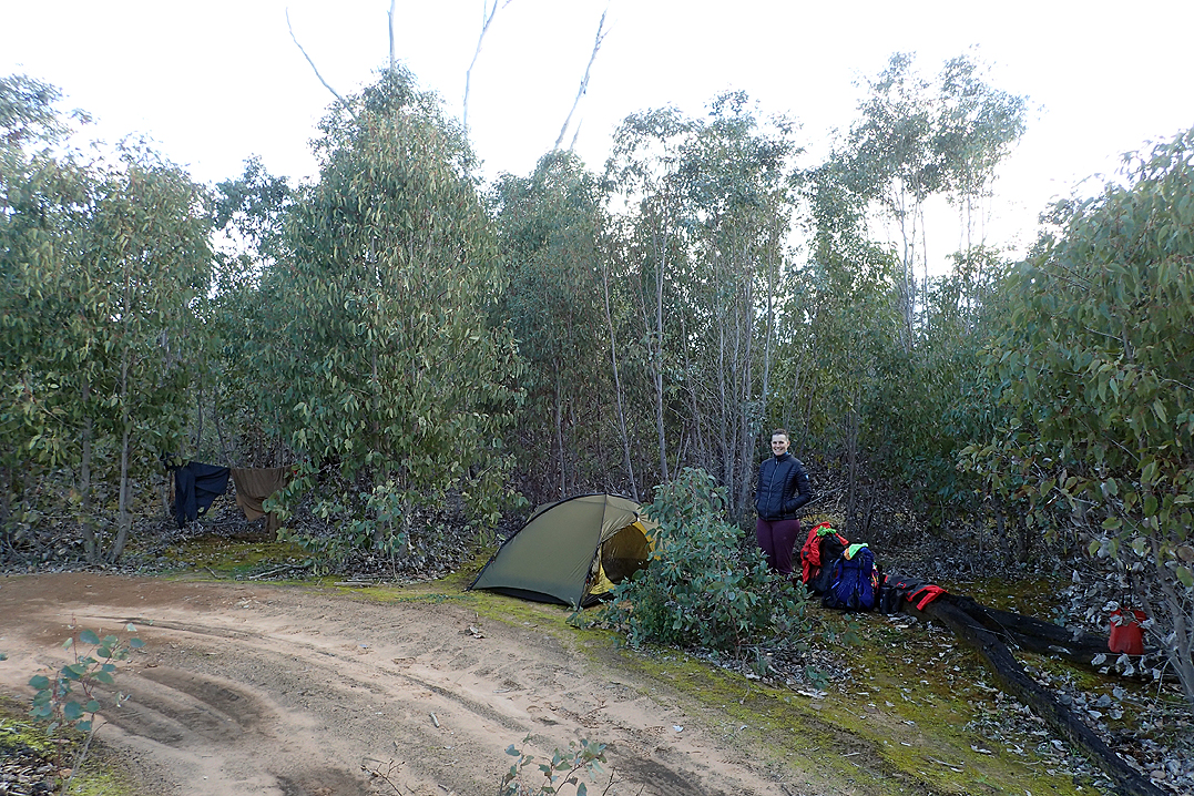
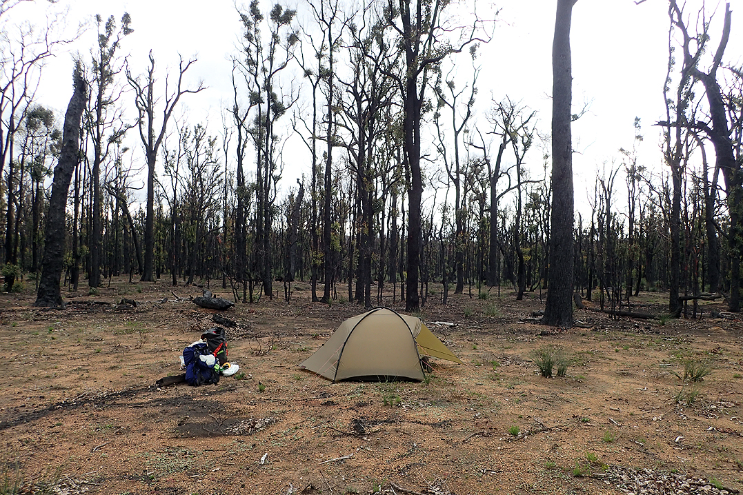
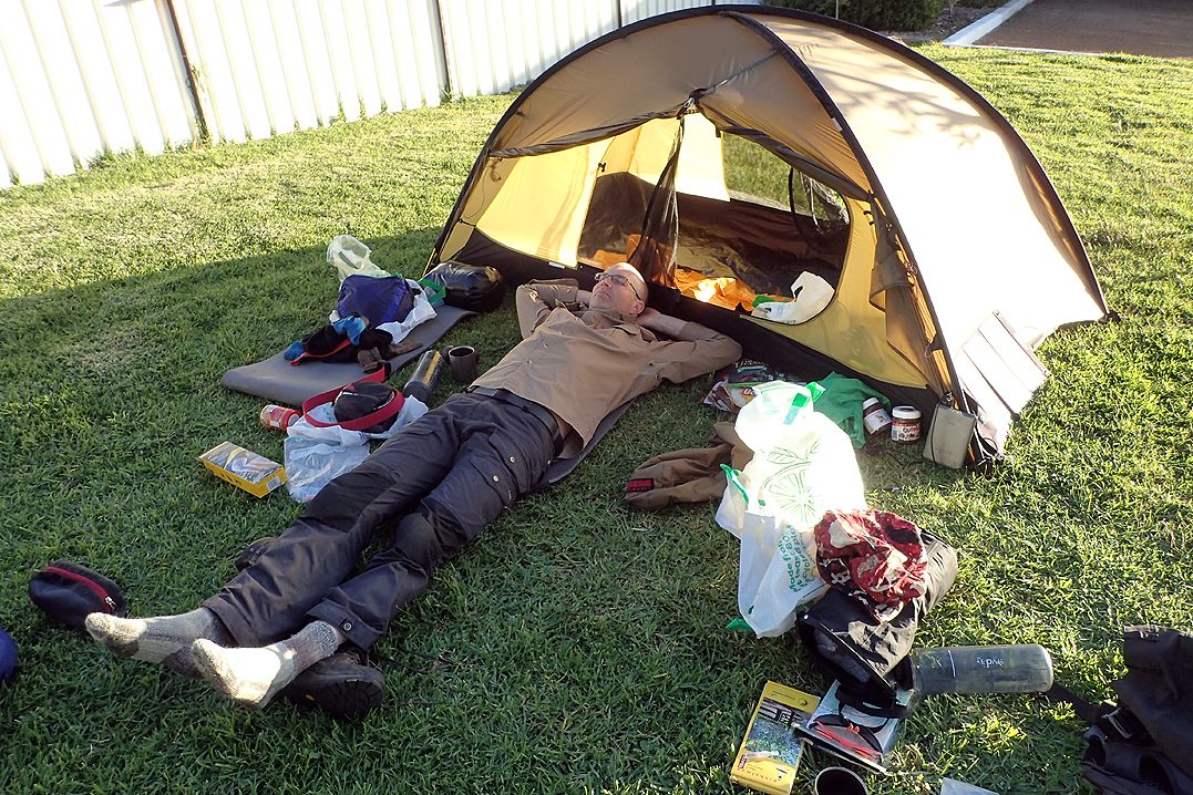
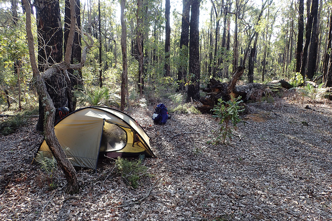
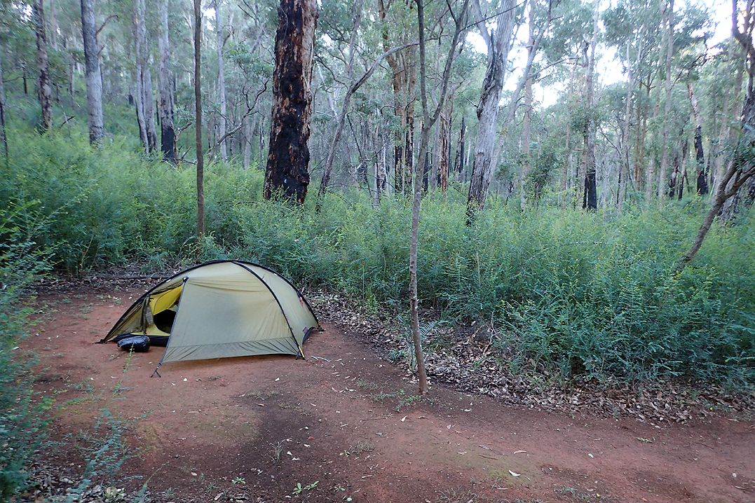
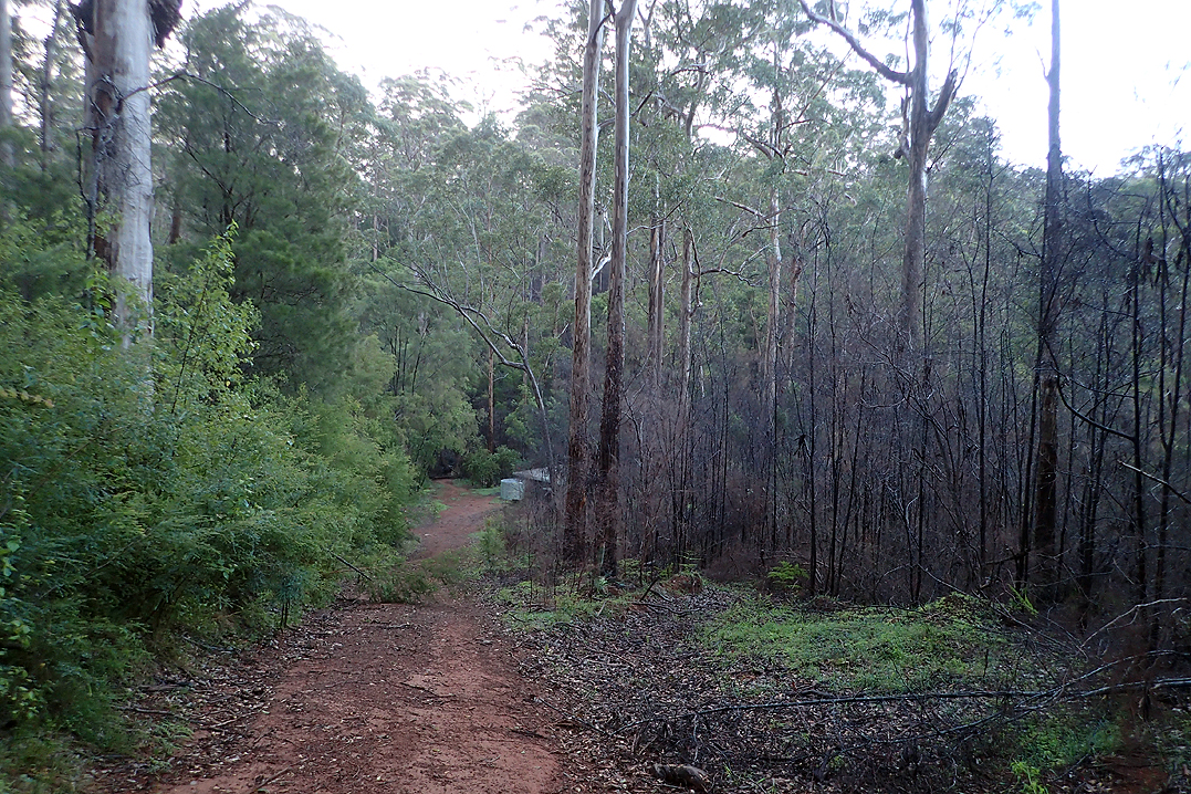
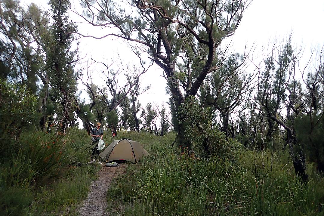
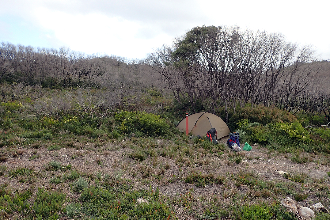
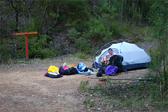
Luckily it was a shorter day today. We felt a bit sorry for ourselves after our long day yesterday! It was still a double hut day and we did not even go to inspect the hut we bypassed as it was a little off the trail. Brookton Hut was empty when we arrived and stayed that way. The weather for the first three days had been perfect, and would remain so all the way passed Collie. Nights were perfect for stargazing but very cold and also we couldn’t stay awake long enough. Our new Hilleberg Rogen hiking tent is definitely on the cool side, probably due to the internal doors being mesh only. Hiking is all about saving weight! Often during the cold nights on the Bib, I would be half asleep and have the urge to close the tent inner, then realise it was closed already! We discovered that the warmest sleeping option was facing the door which is counter-intuitive.
We ate, pitched the tent and about 2 hours later Mike woke up with a totally flat mattress. Puncture? He reinflated the mat and it was flat again by morning.

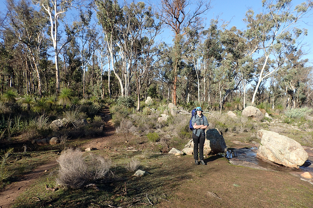
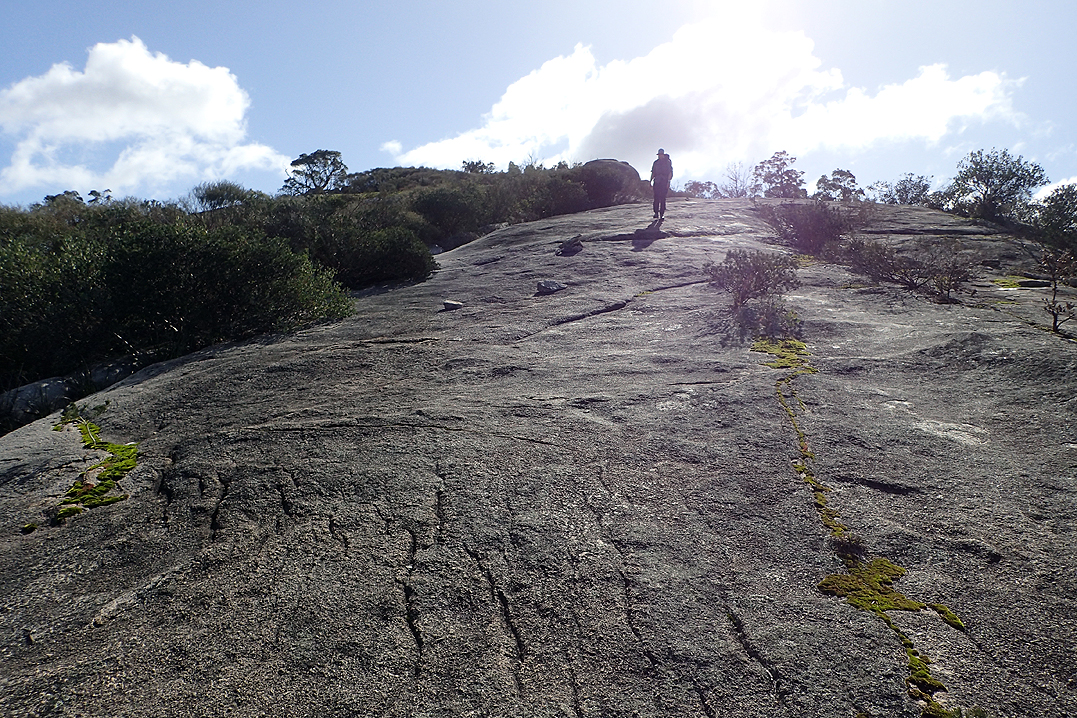
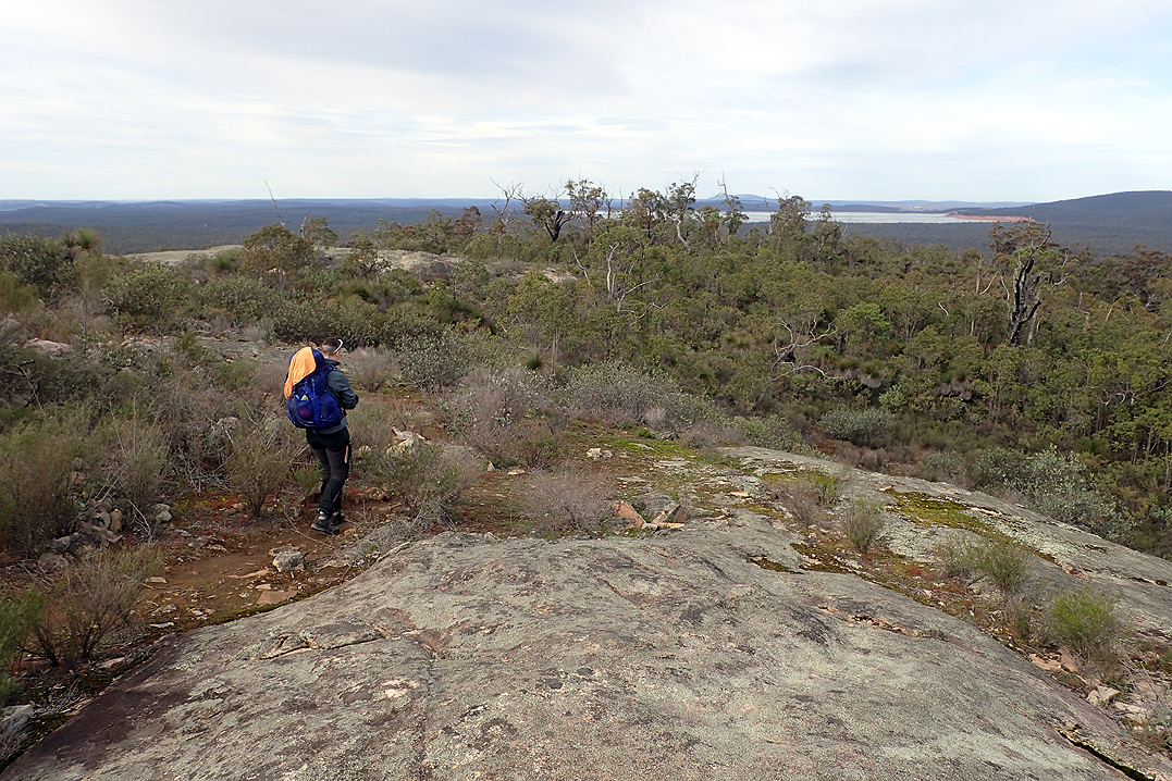
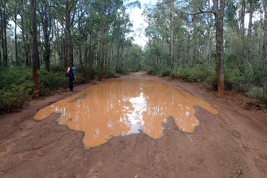
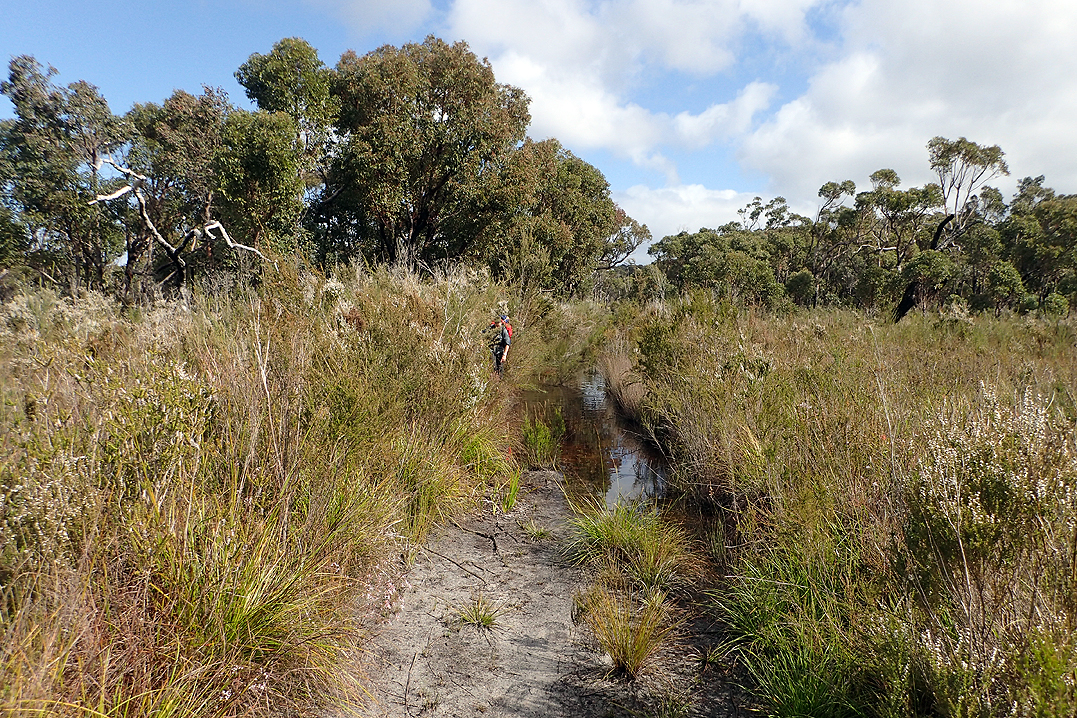
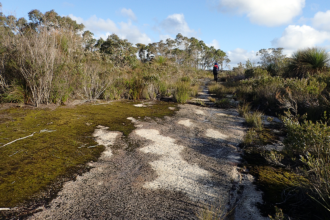
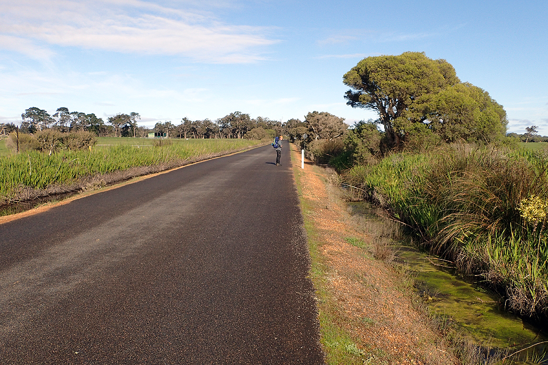
Crossing Brookton Highway was the first milestone of the hike. Shortly after that while crossing one of the great dome rocks we found a perfect pool, it was deep and clean. Mike got into it with his inflated mattress and like the seasoned cycle tourists that we are, we soon spotted the trail of teeny silver bubbles that gave away the puncture. We used one of the two patches that come with the mattress and set off again. Crisis averted. This kind of drama never happens with Thermarest!
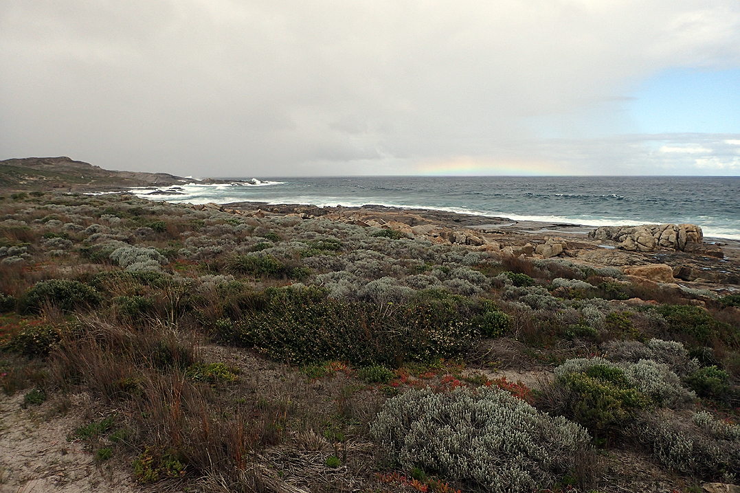
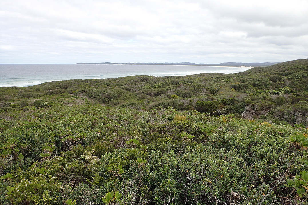
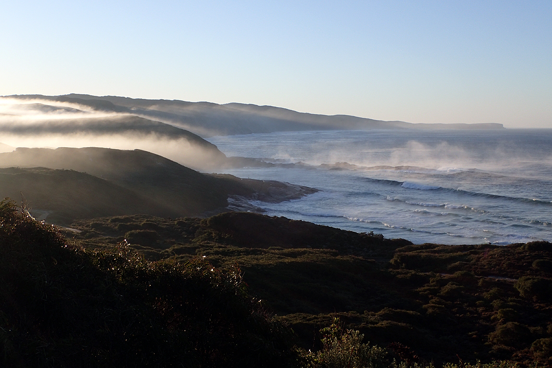
As it was another beautiful day we had a river swim at the Canning River which was refreshing. Overnight we had rain at Monadnocks, our first of the trip but it was clear by morning. We saw black cockatoos all the time, often red-tailed one’s too. Their call seemed to follow us across the Darling Ranges.

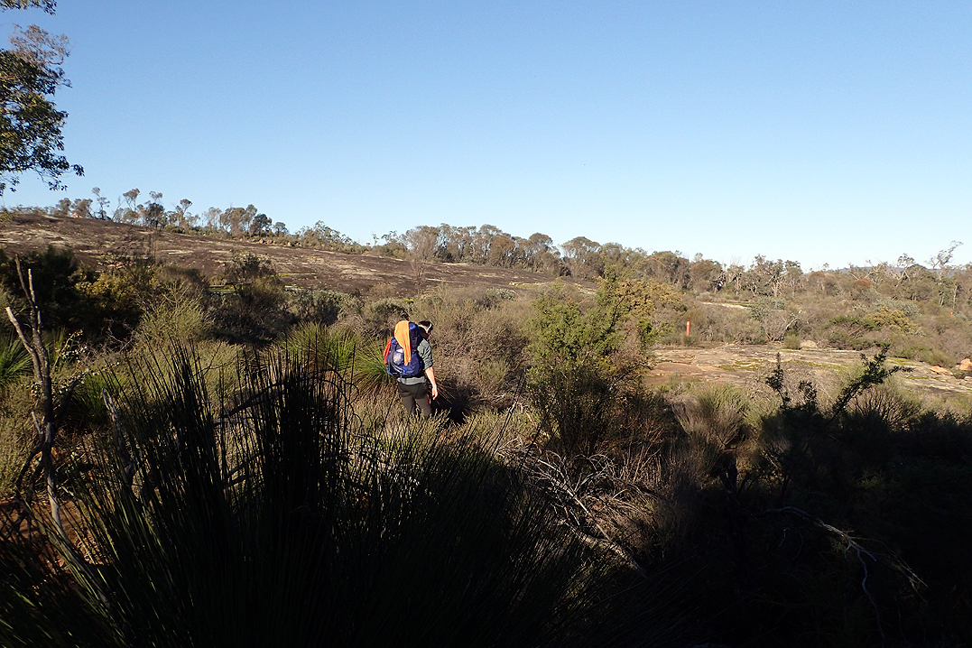
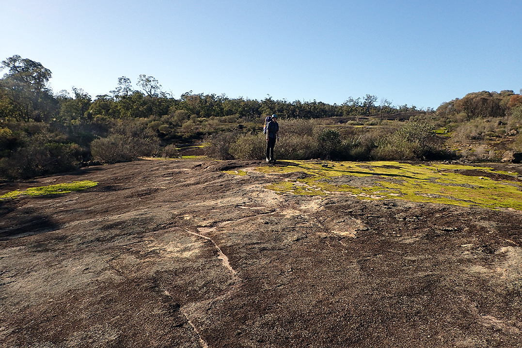

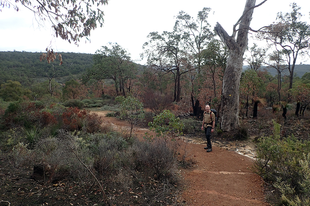
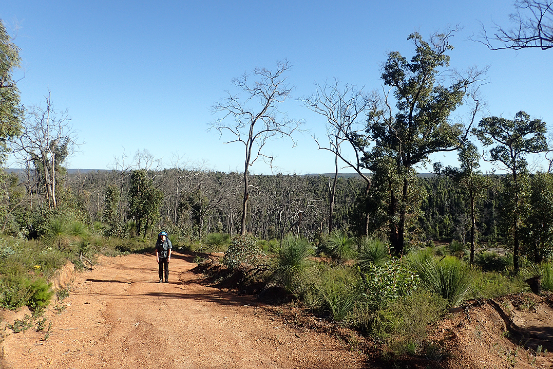
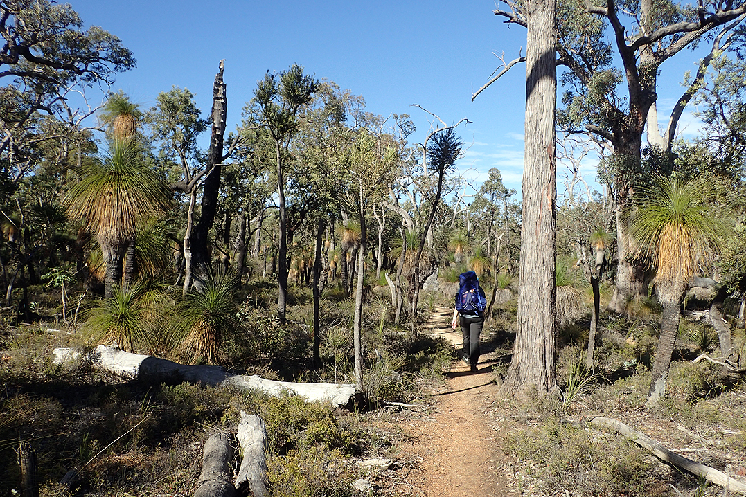
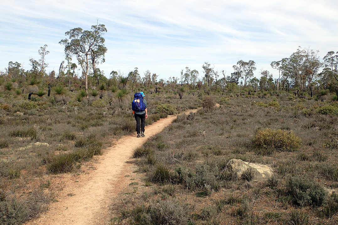
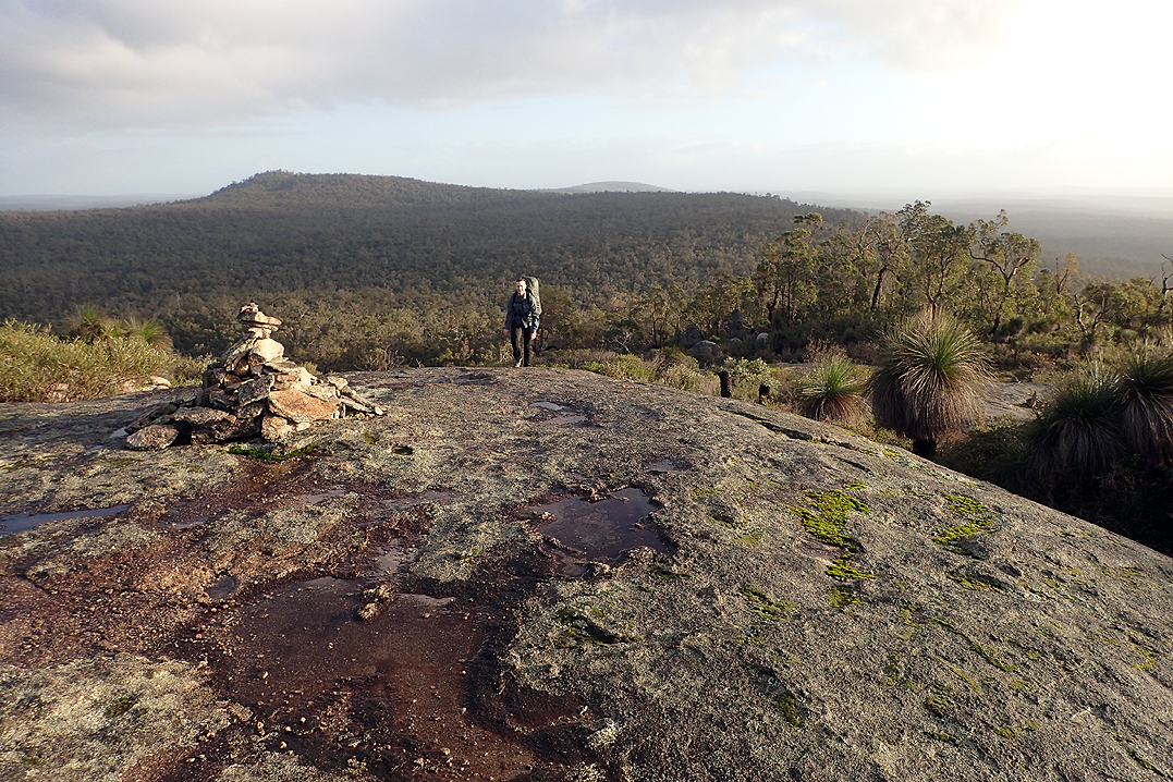
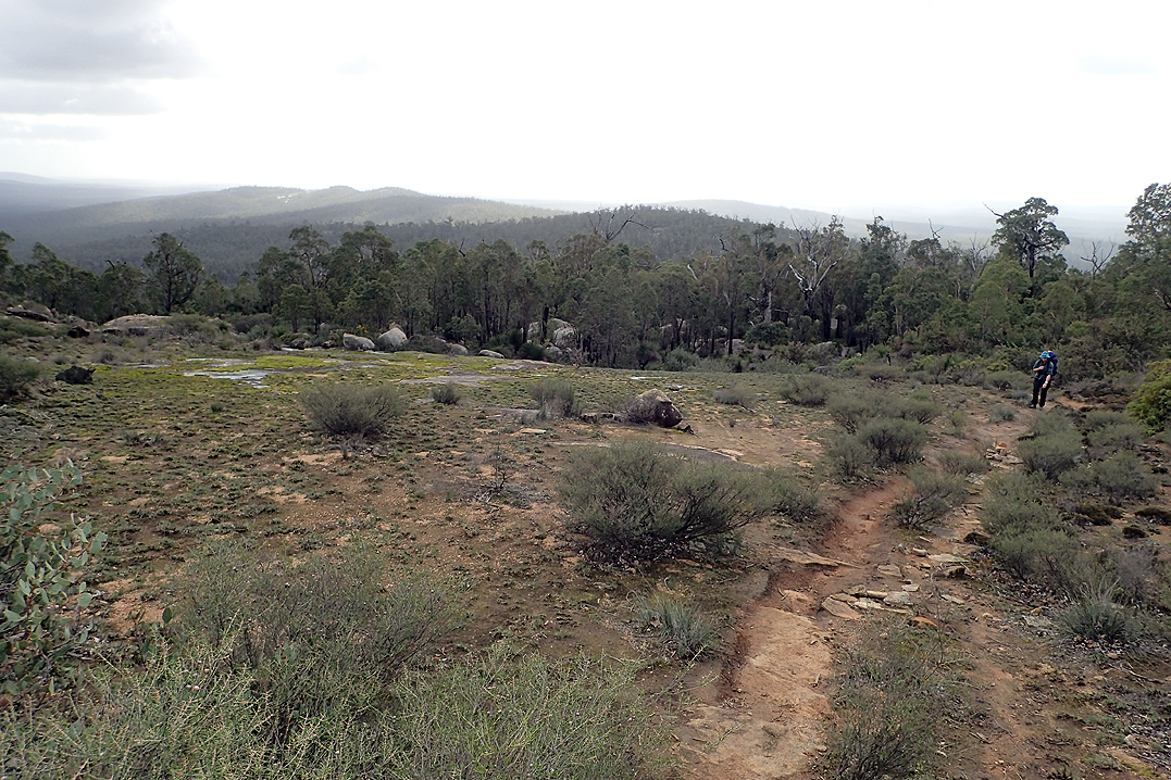
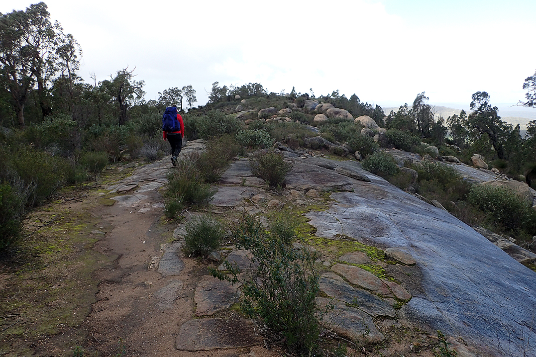
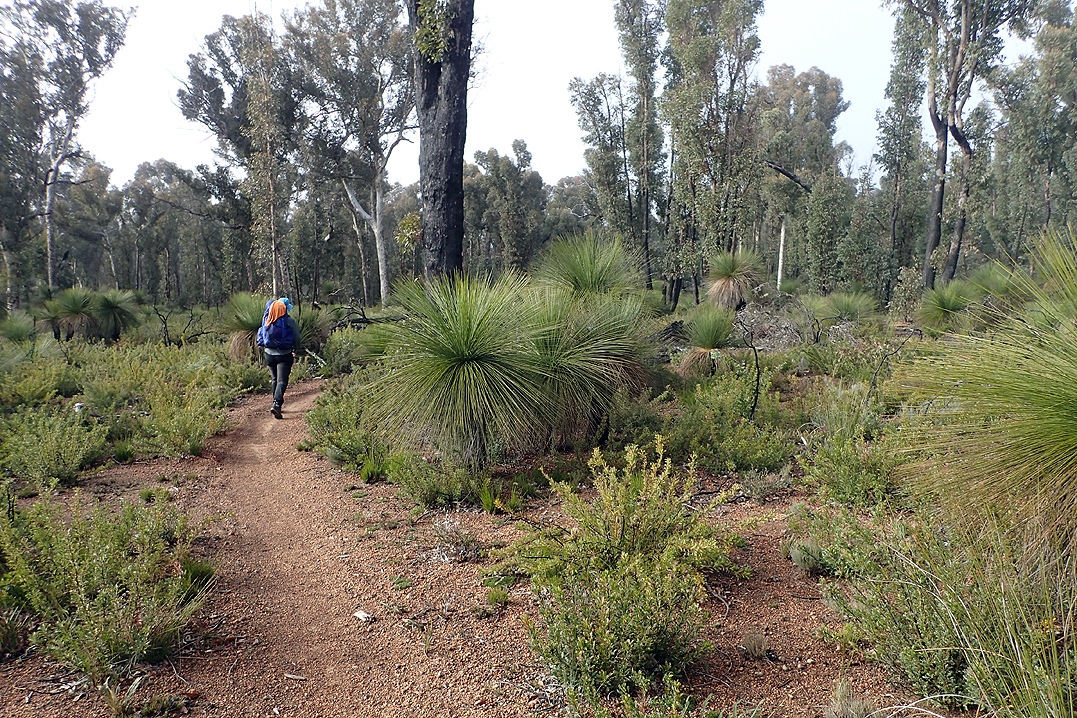
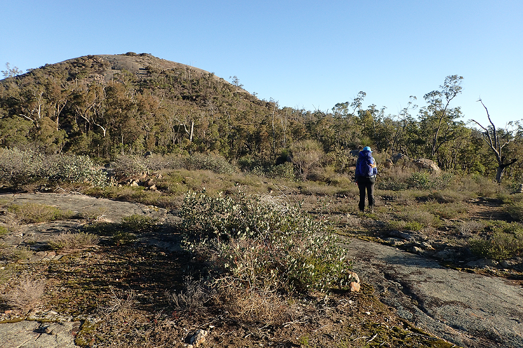
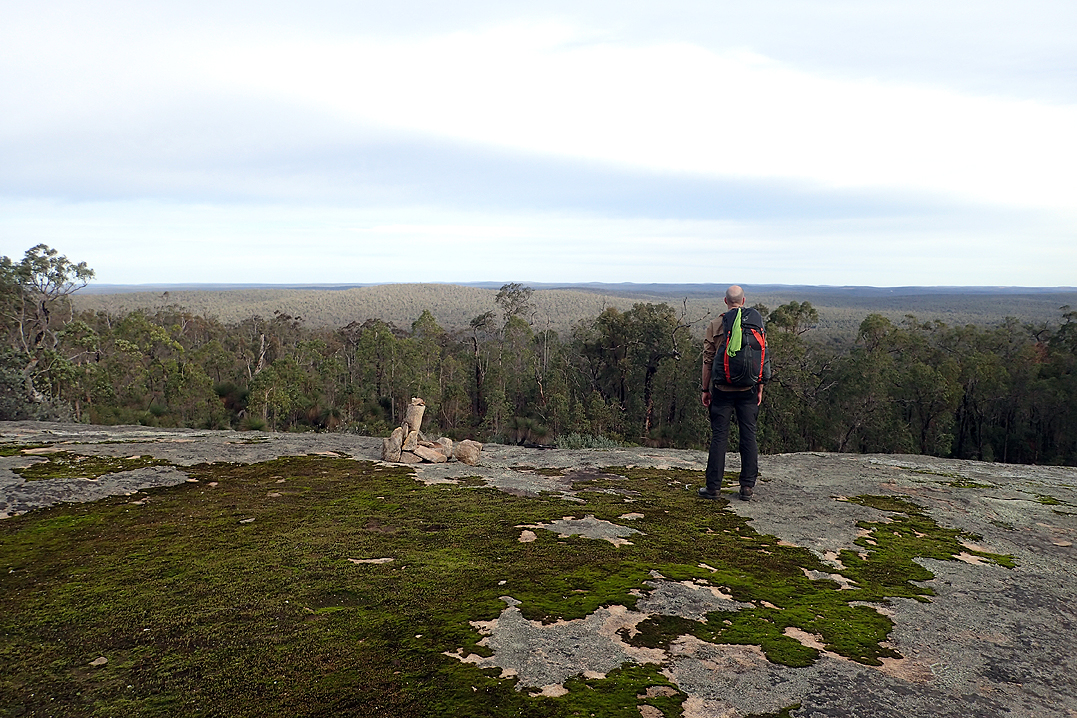
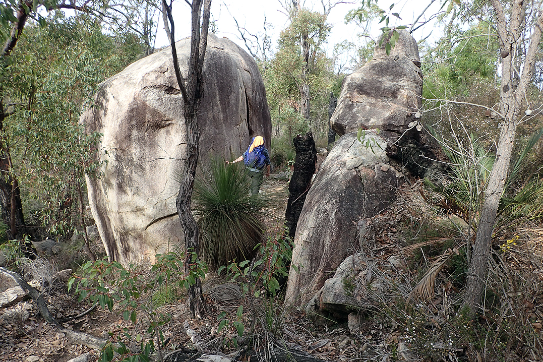
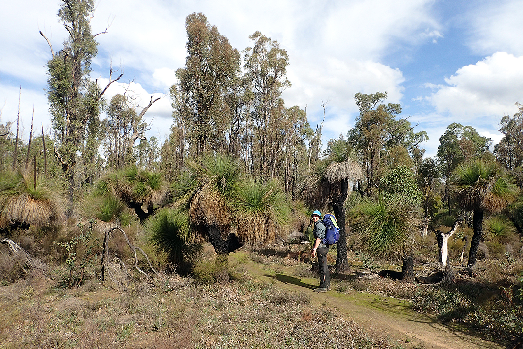
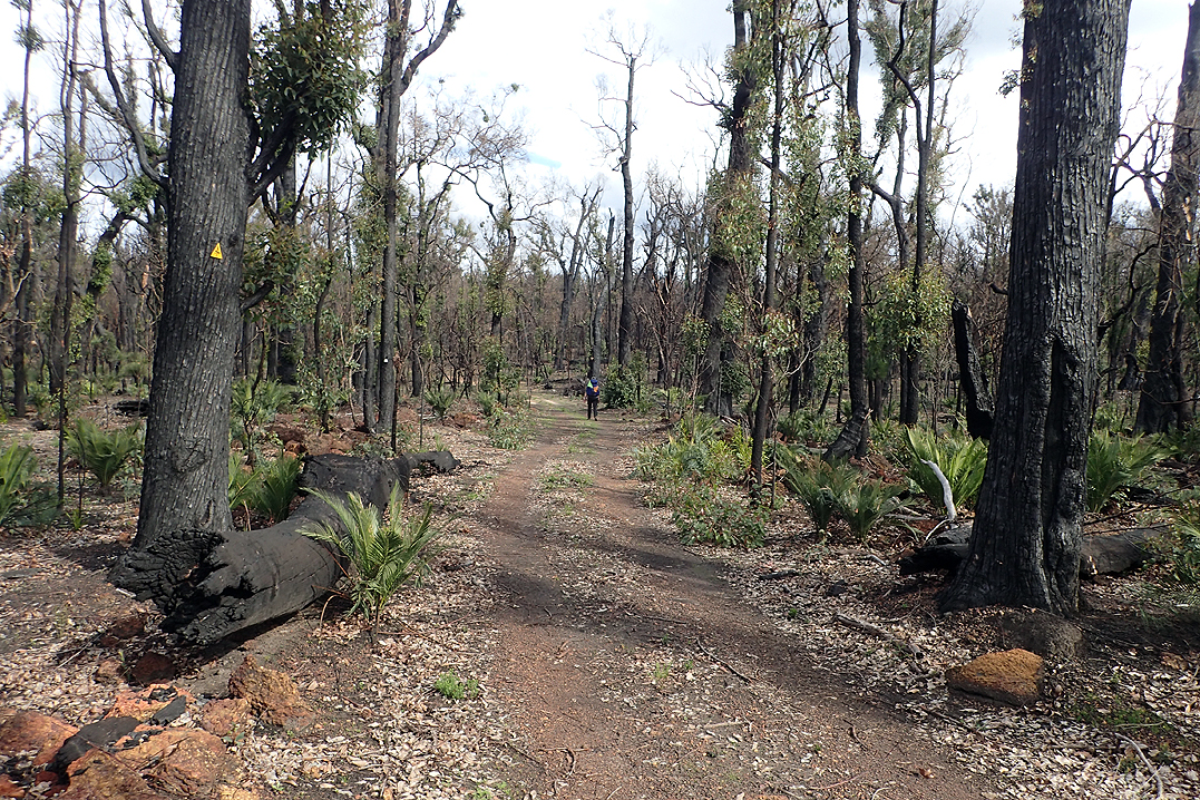
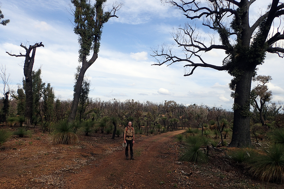
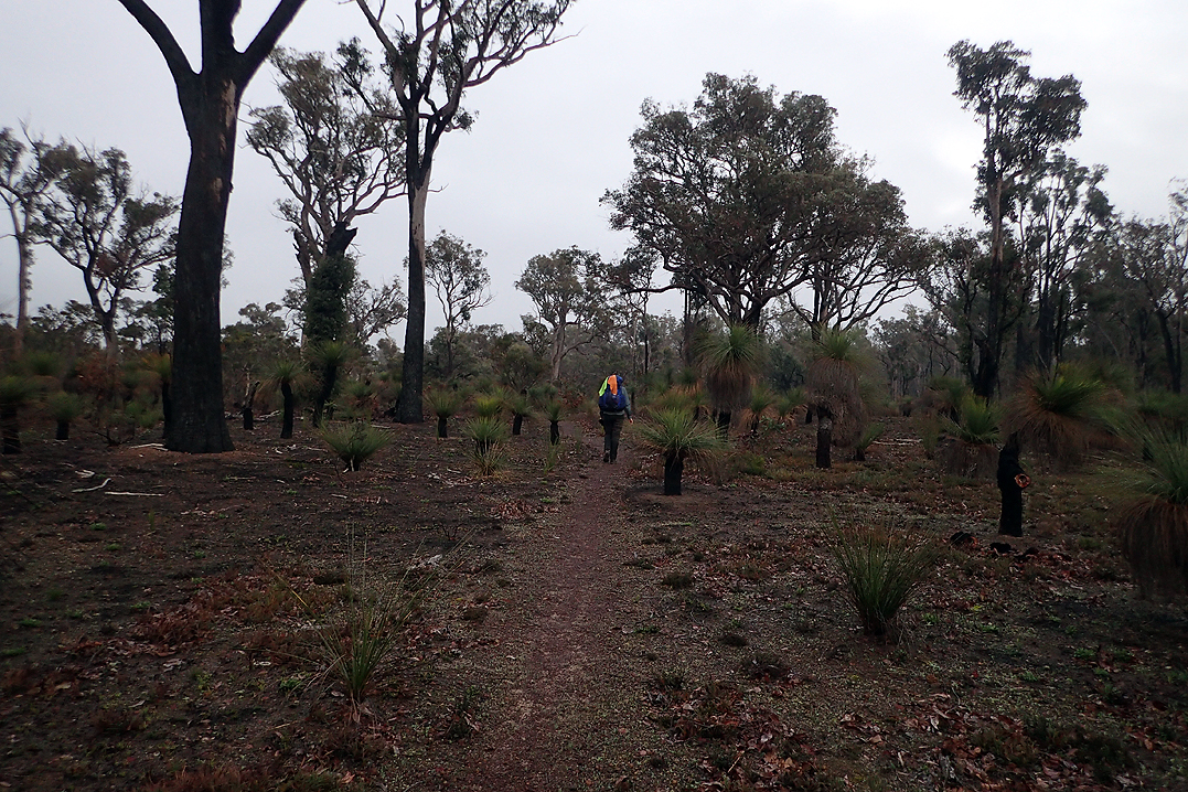
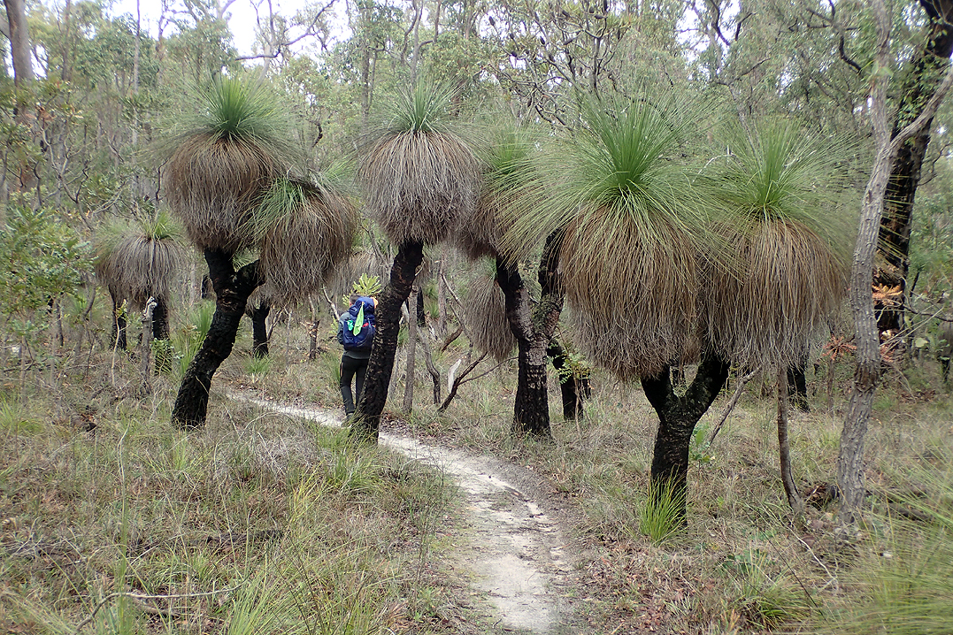
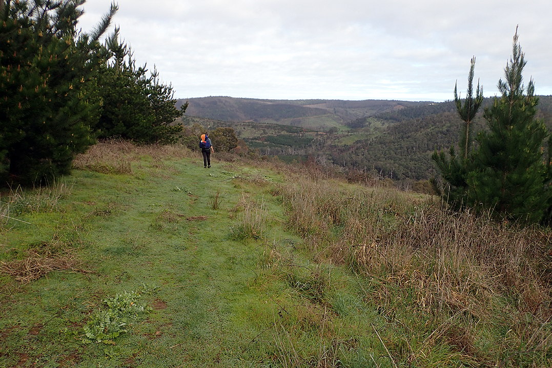
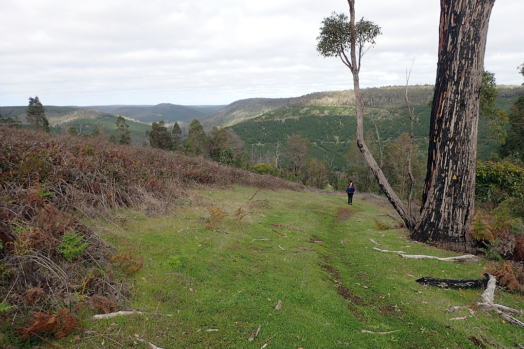
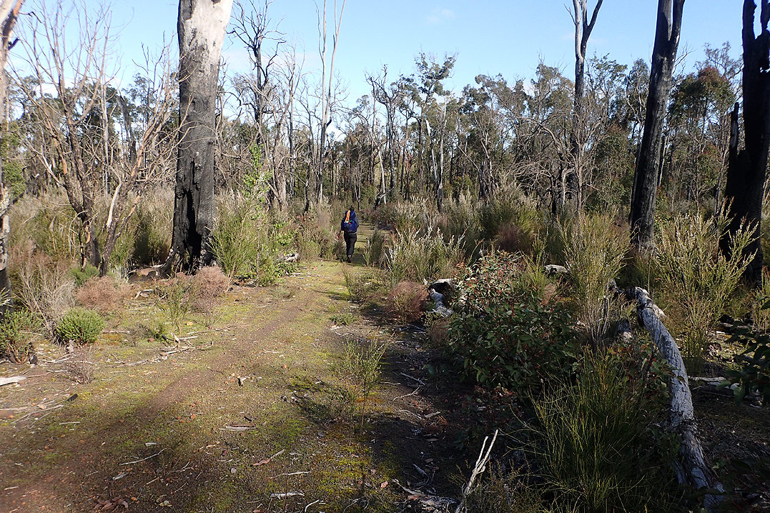
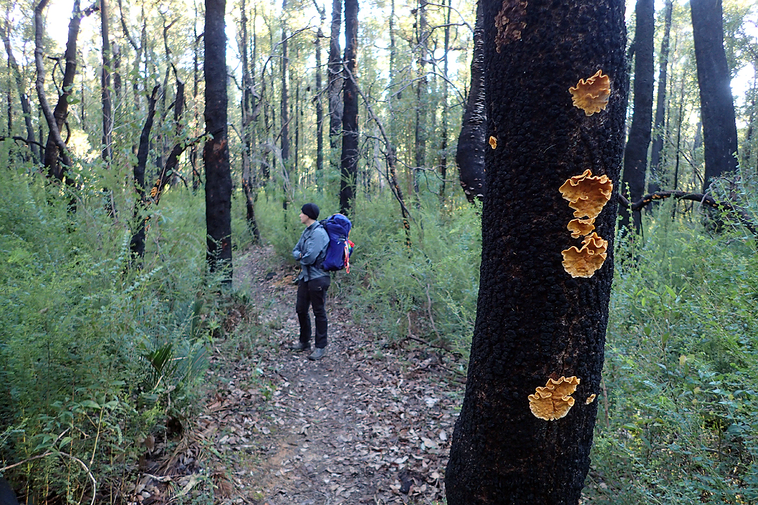
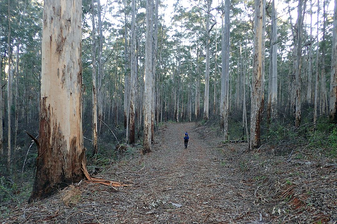
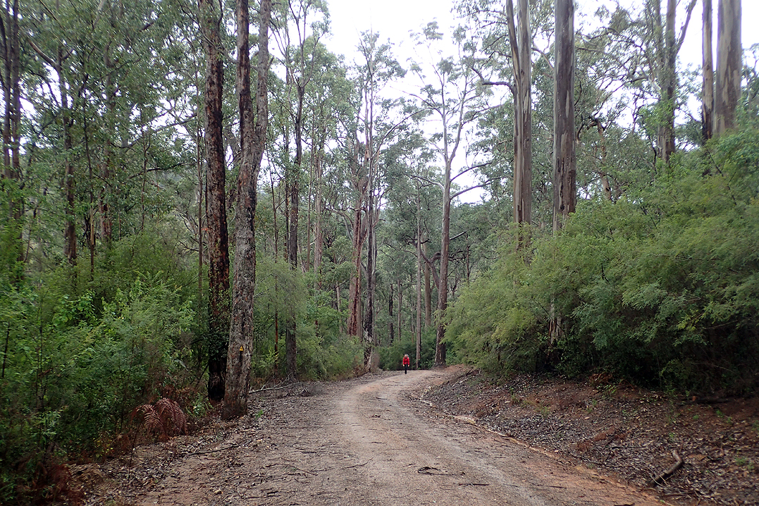
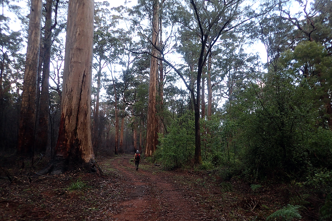
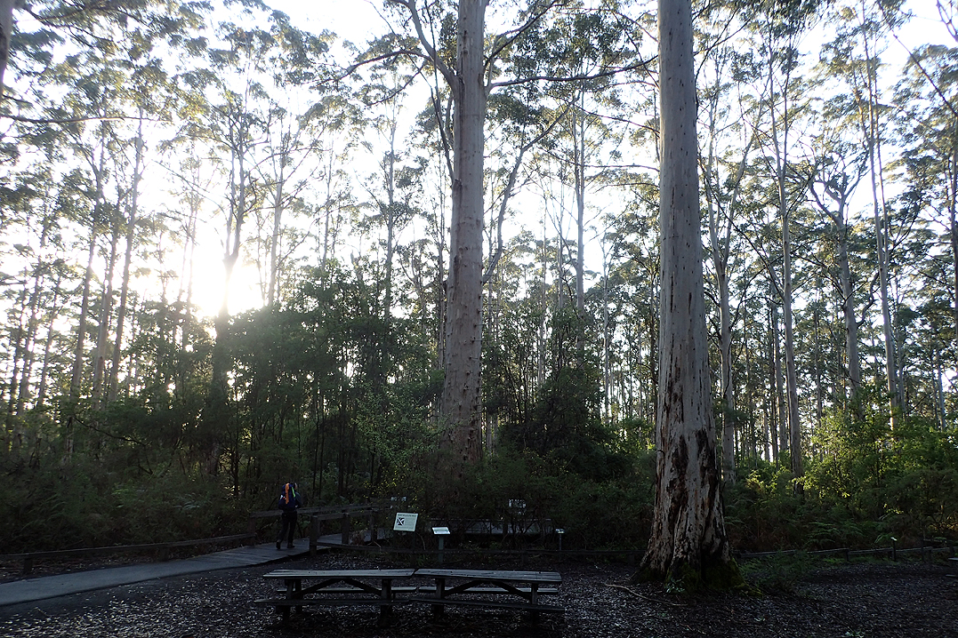
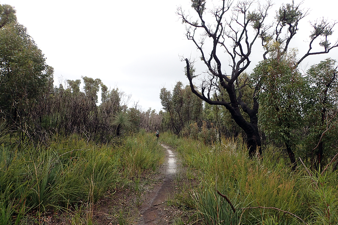
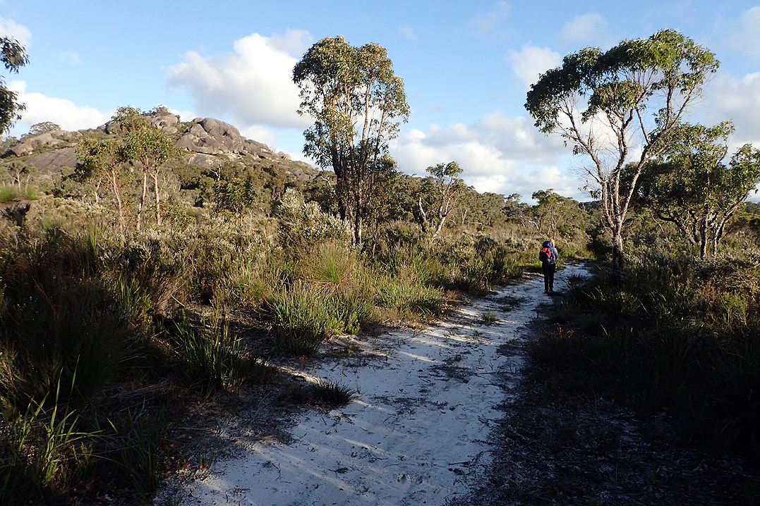
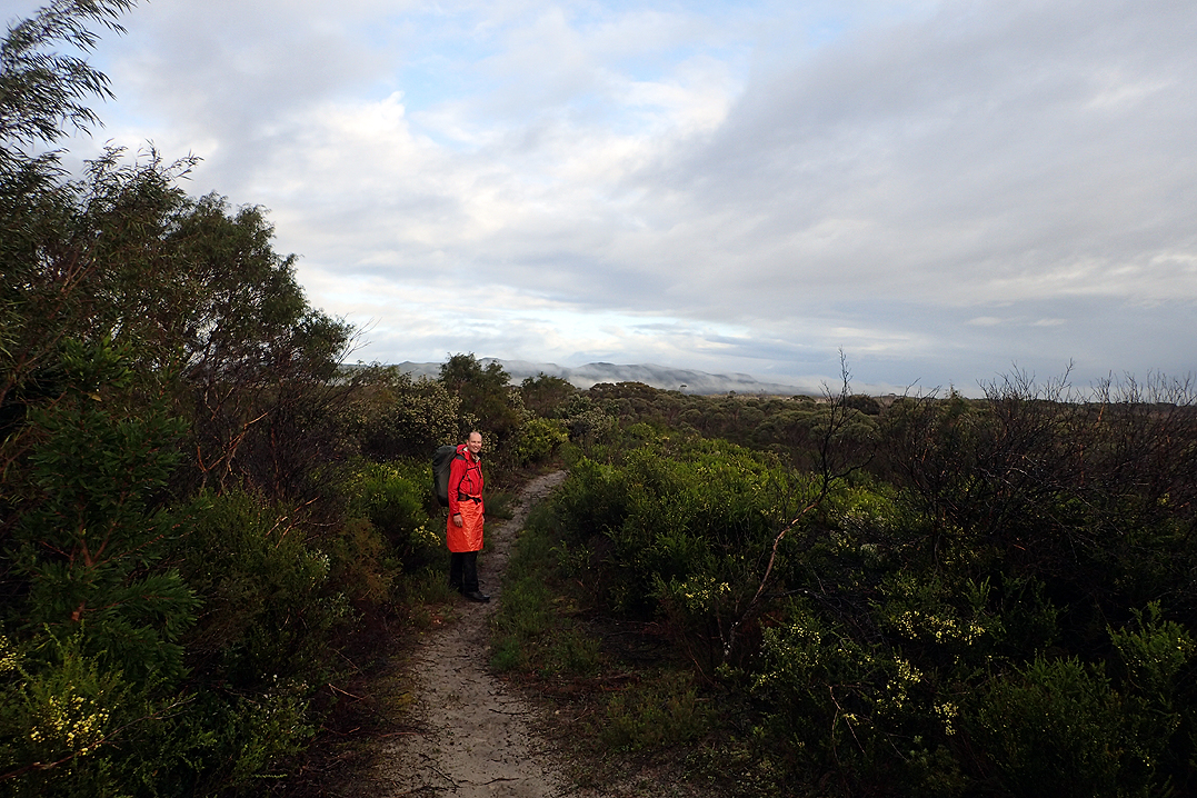
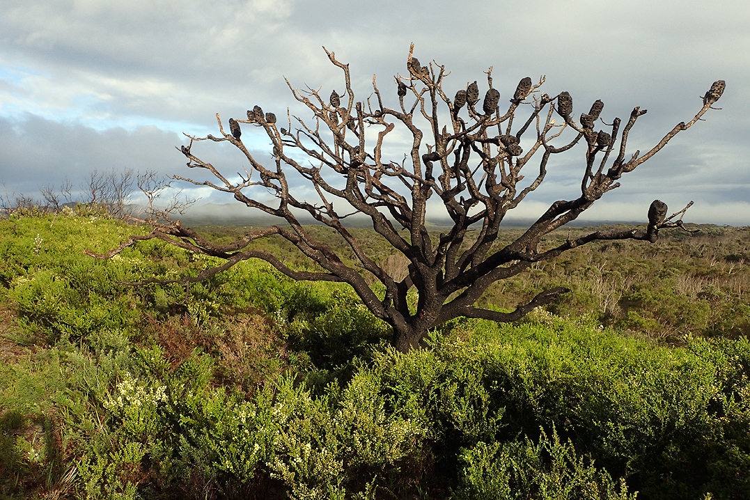
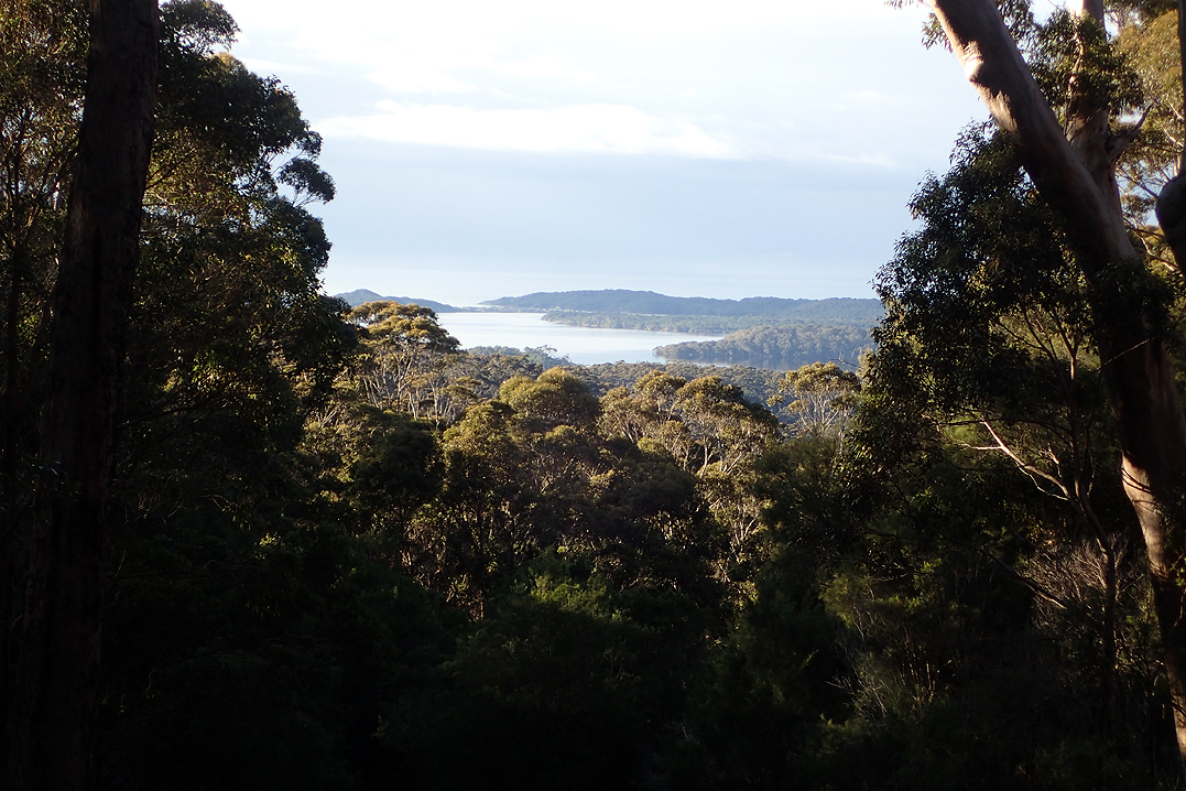
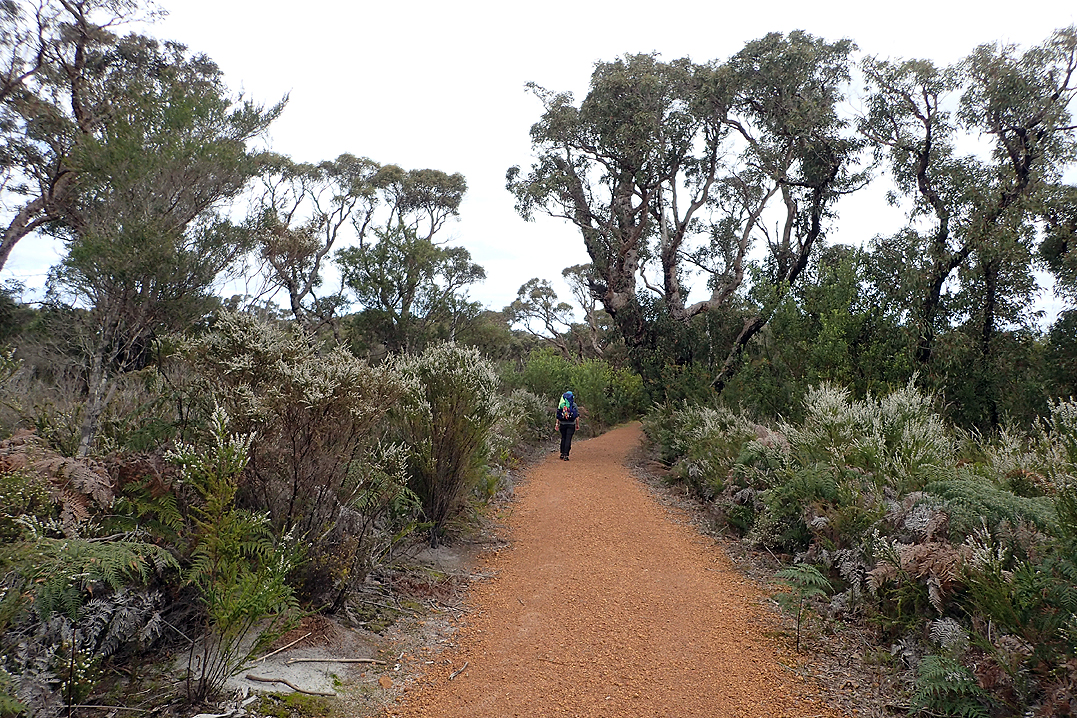
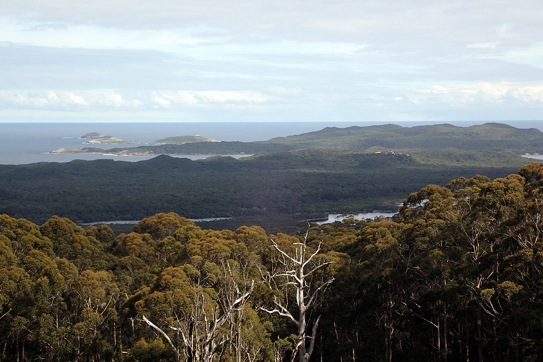
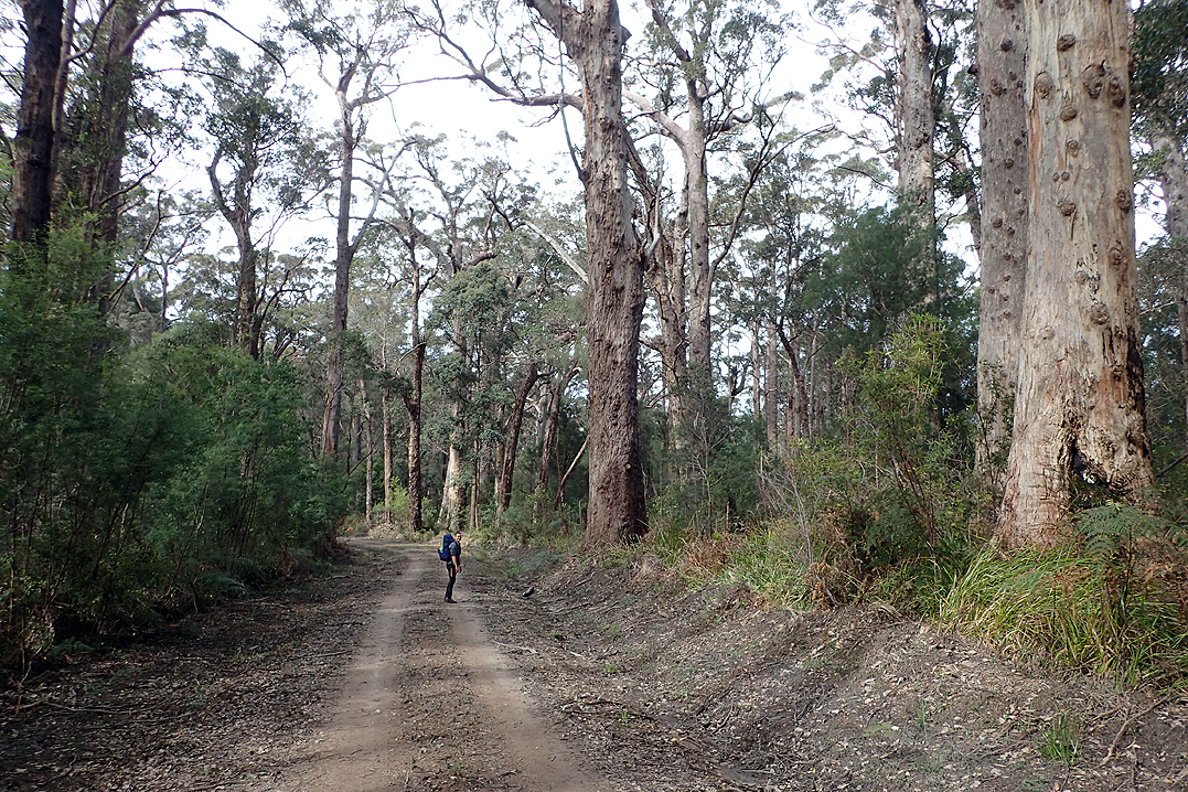
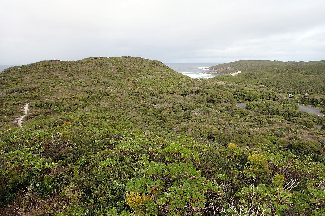
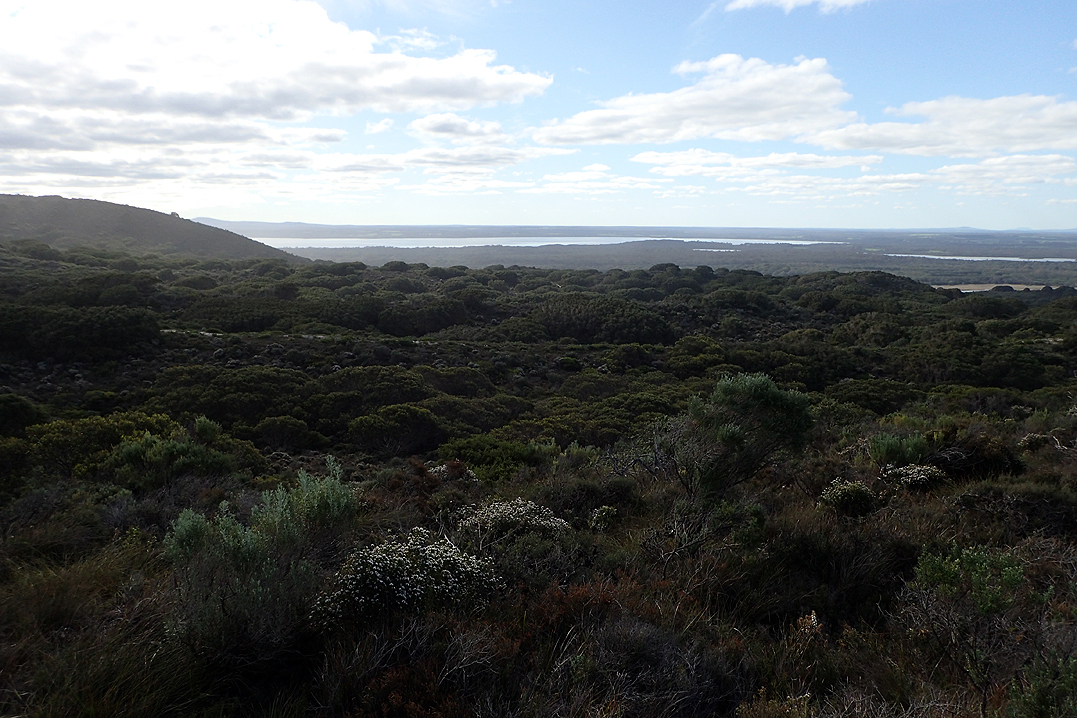
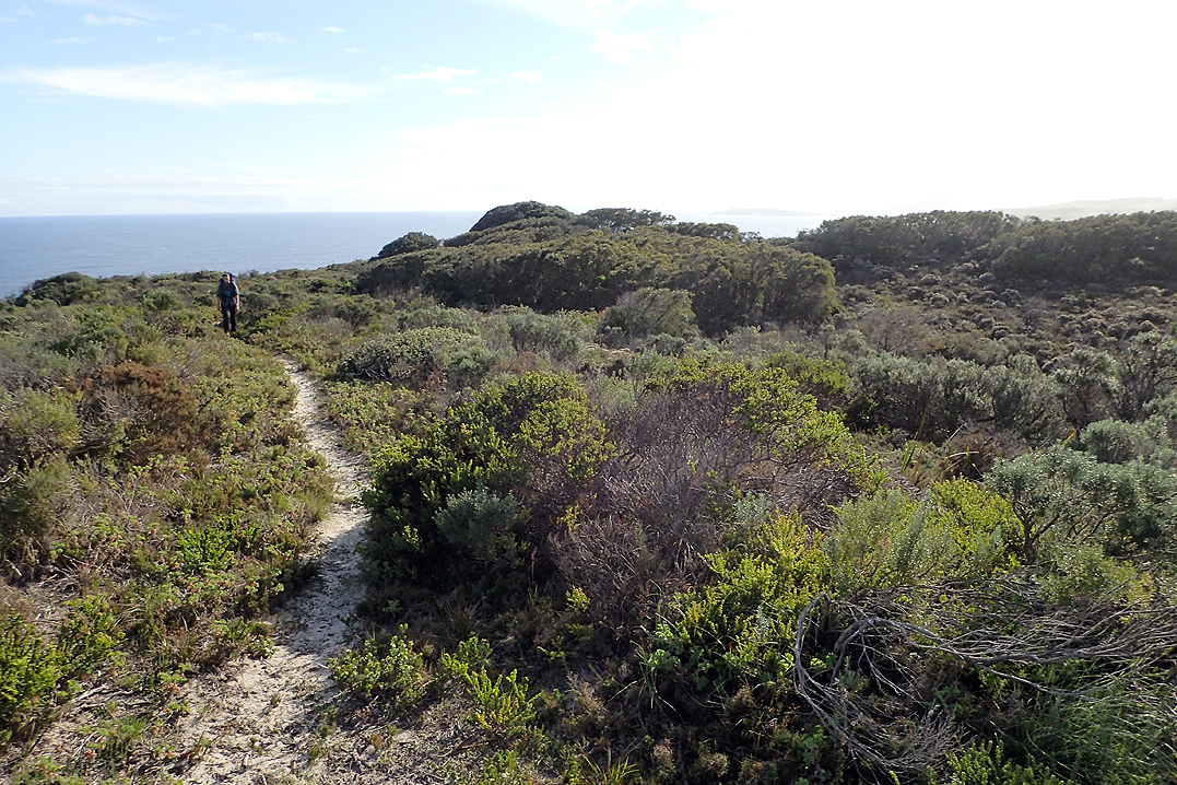
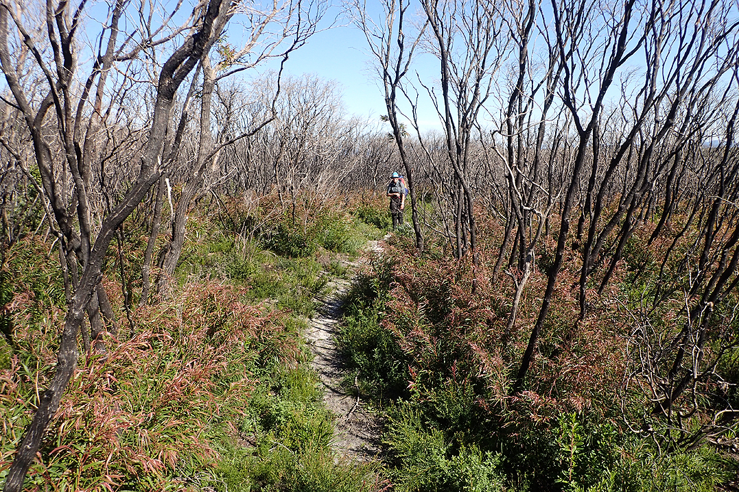
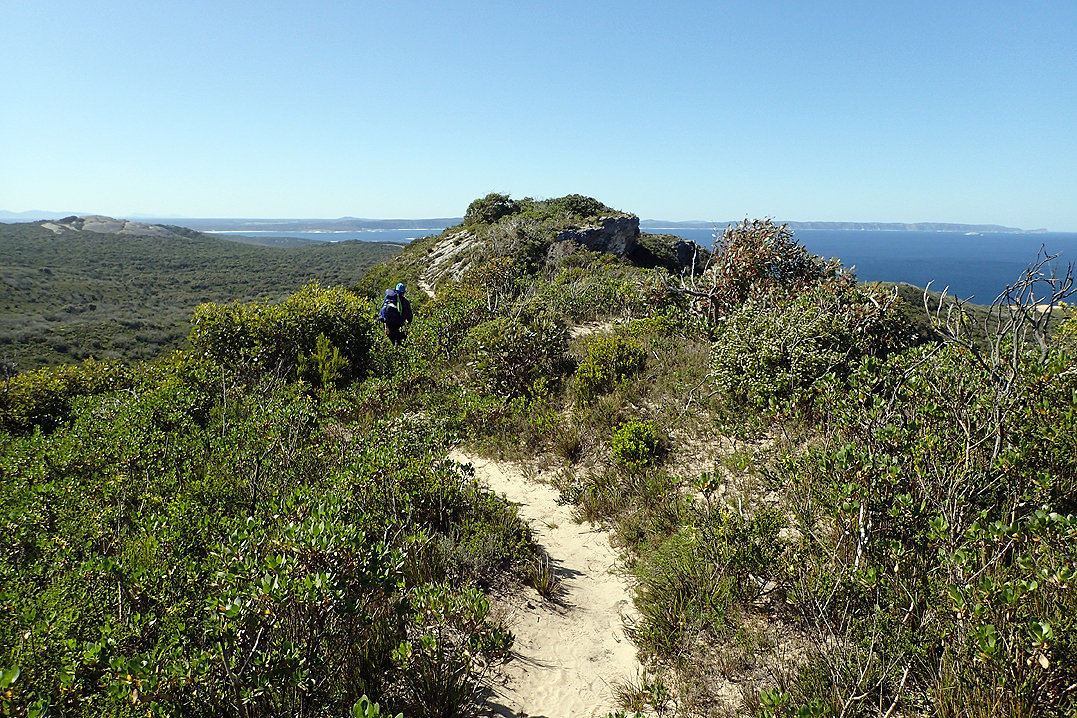
Today we said "Hello" to Mount Cooke and the boys, by which I mean Mount Vincent and Cuthbert. There had been fires in this area and then later prescribed burns to finish off what the fire had started. The day was probably the toughest climbing of the trip, with Mount Cooke being the most well-known, but as is so often the case, the other two were probably more difficult! It is always the ones you least expect. We love the expansive views of the forests. It is strange as you don’t automatically think of forests when you think of Western Australia, but as far as the eye could see, which was a long way over flat plains, trees were all you could see. We also love these large rock domes. After Mount Cooke you walk down the steep rock dome for quite a way.
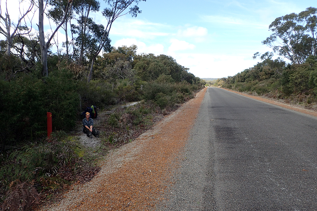
At Nerang Hut we met Geoff and Dolly who were on their 6 or 7 E2E! Each hut has a logbook and we were already in the rhythm of checking in to sign the book (even if not overnighting there). The logbooks require your name (can be your track name), age, where you live, where you are starting and ending the hike and how long you expect to take. You can also make a comment. We had seen Geoff and Dolly’s entries at previous huts and given their ages (70 and 67) were impressed to see them Double Hutting! It was a cold night. We would have quite a few of these given the clear skies.


We were starting to look out for Brendan’s amusing comments in the logbooks. He was a 25 year old from Kalgoorlie who was travelling alone and set out the week before us. There was also a group of three girls from Fremantle. The hike is so strange as you start to follow these people’s journey ahead of you both literally as you follow in their footsteps and figuratively as you sort of start to build a phantom relationship with them having never met them. At the same time they have no idea that you exist! Another strange thing is you might "meet" someone via their entries who is going South to North on the trail and so as you advance and read each one you are actually going back in time to the start of their journey!
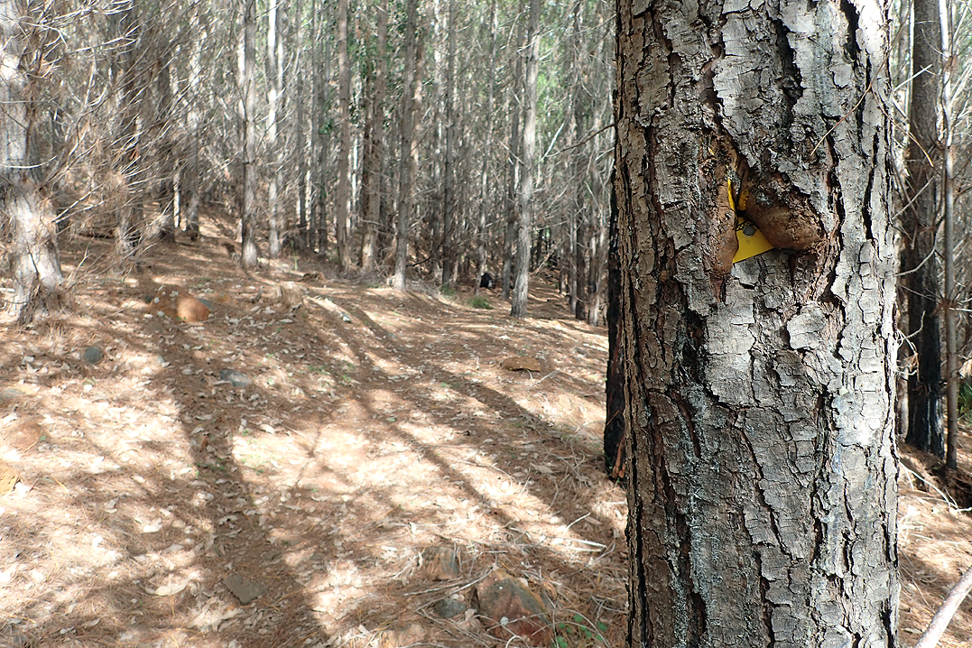
The logbook is green and mainly for the purposes of the National Parks to keep record of who is where in case of emergency and also for purposes of track maintenance and funding. There is another book at each hut which is "the red book". This is for people to get a bit more creative in and write down their observations, or poetry. Some people even draw pictures or write down long descriptions of their day. Some people write down things that other hikers should be aware of. So for us, we are most interested in northbound E2E trail info. It is usually the solo E2E’ders who write in the red book as it is a way of processing their day. Mike and I appreciate having each other to talk to. Also, with Covid and WA being closed off from everywhere else, the trail is very quiet this year, which we really appreciate but it must get lonely on your own.
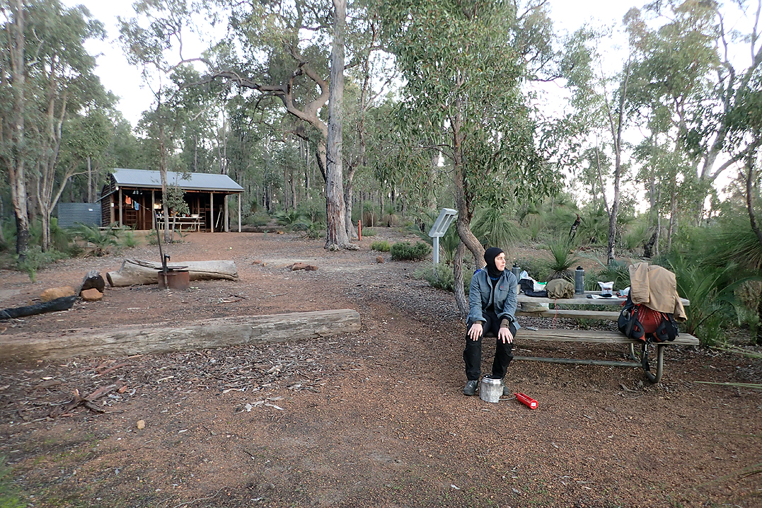
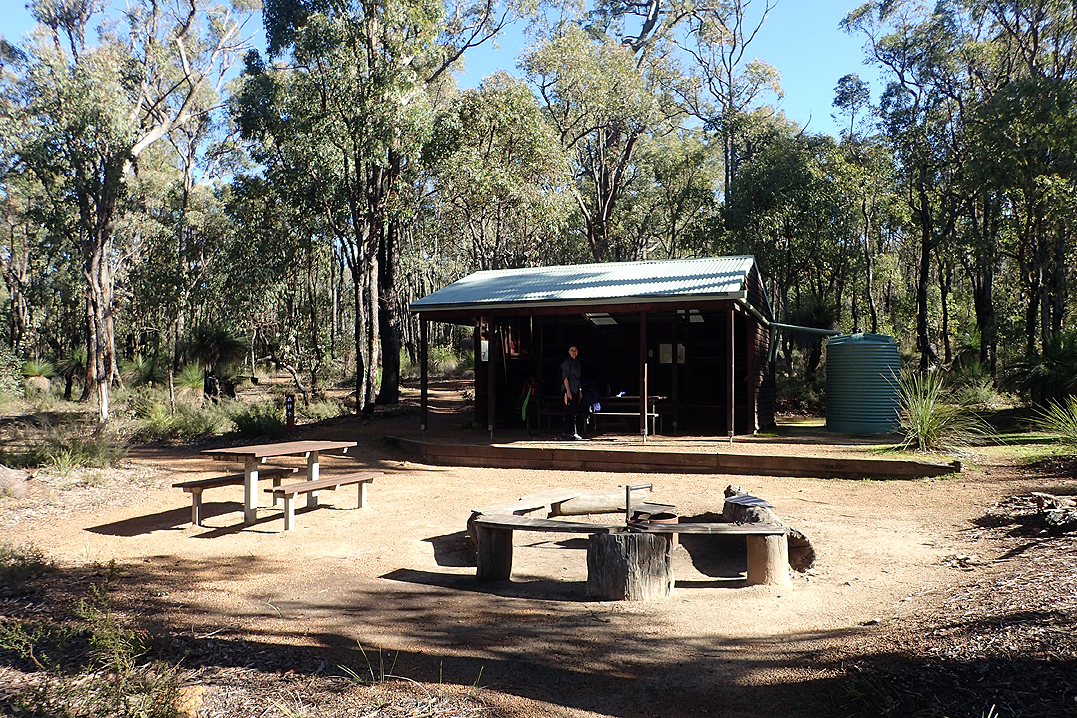
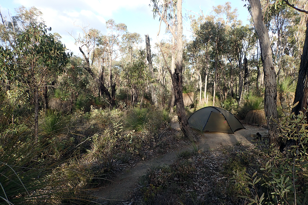
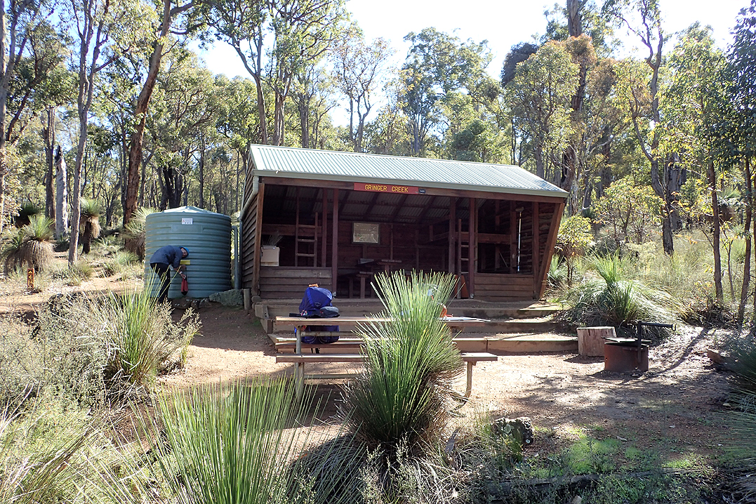
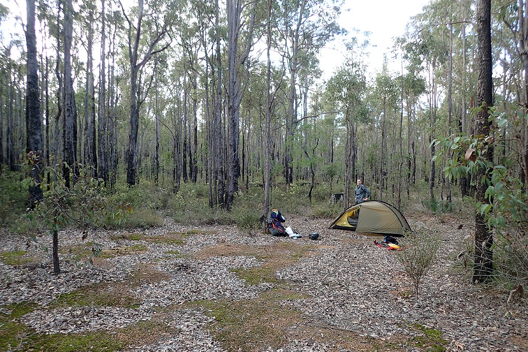
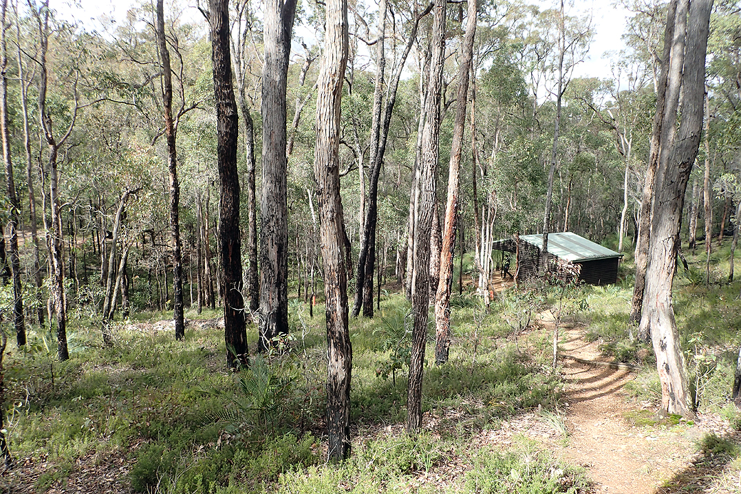
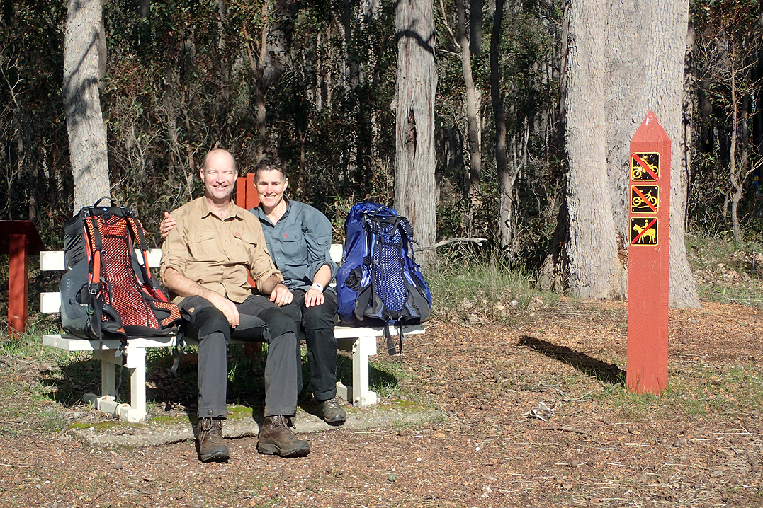
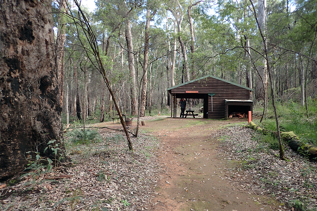
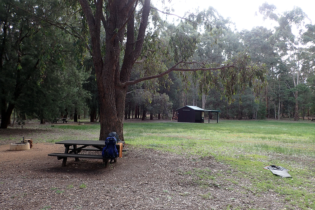
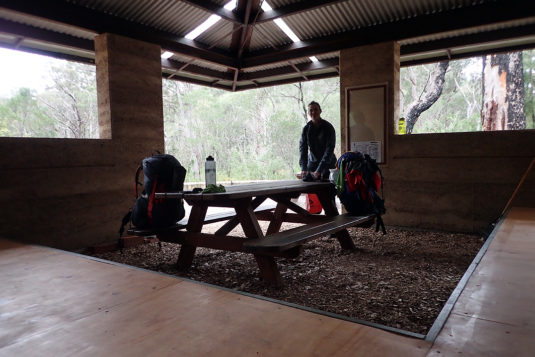
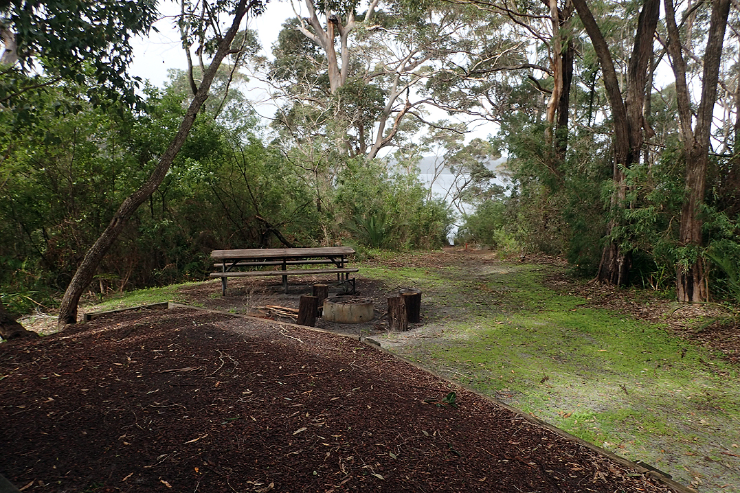
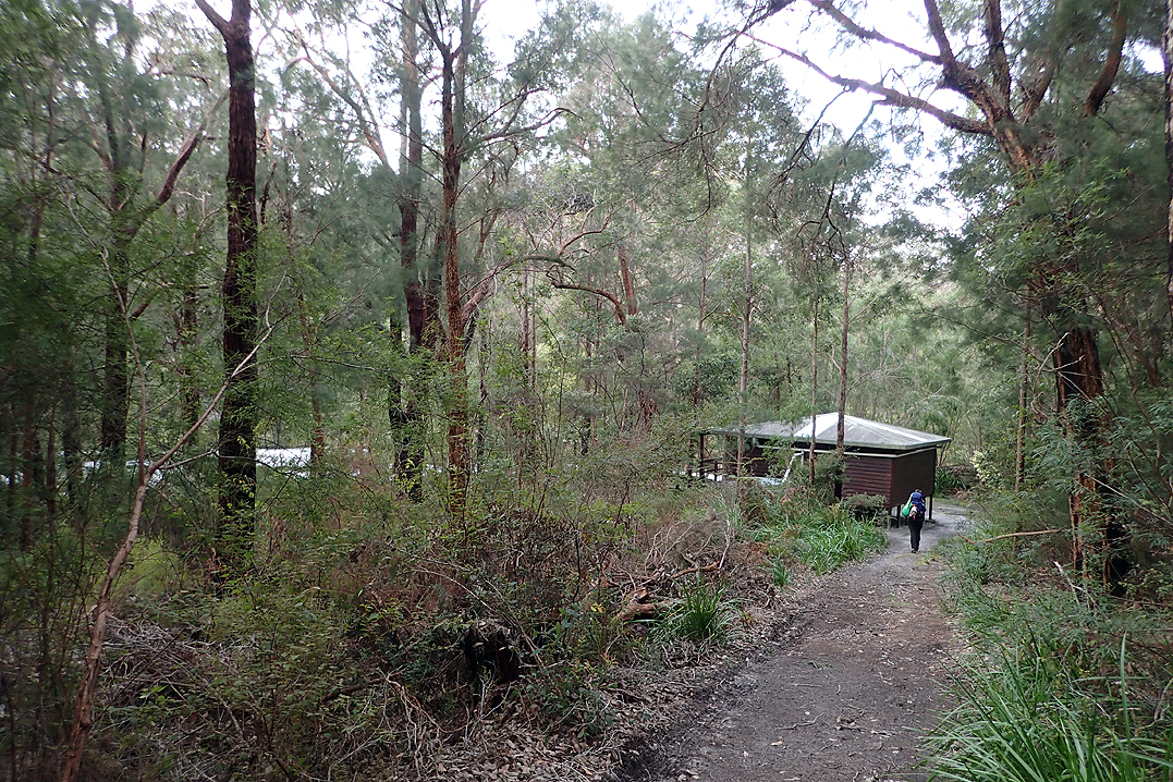
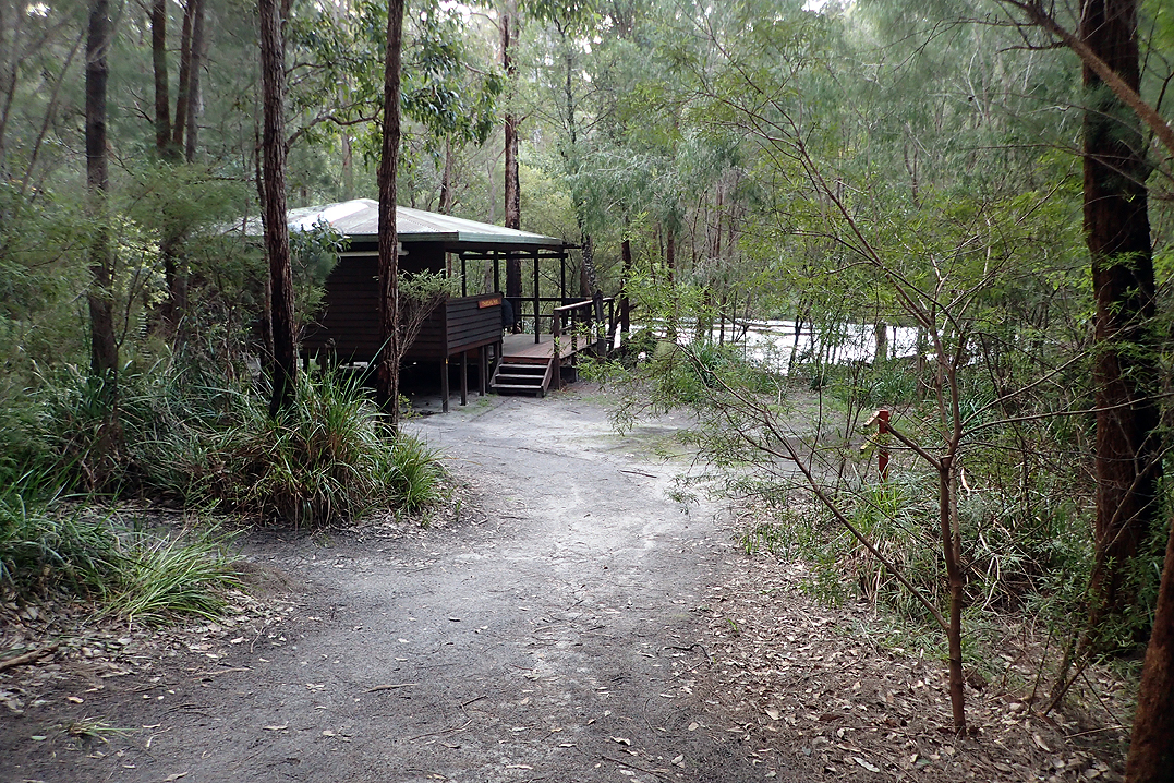
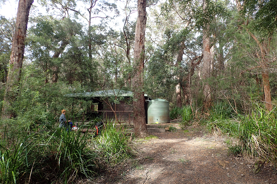
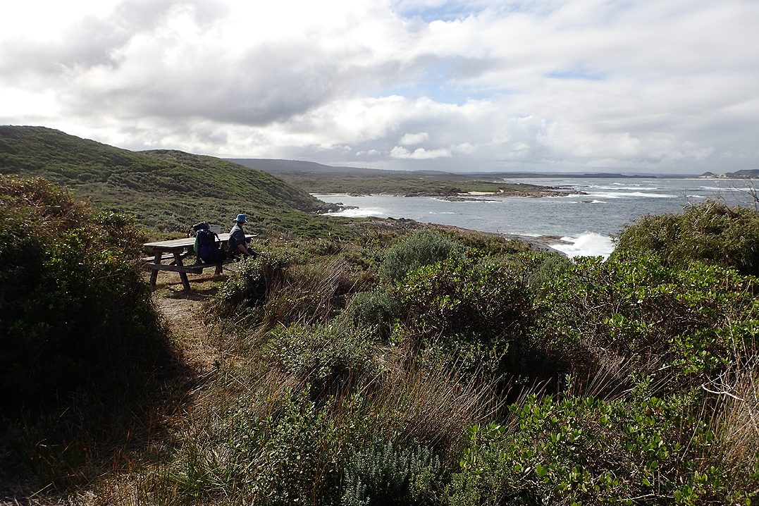
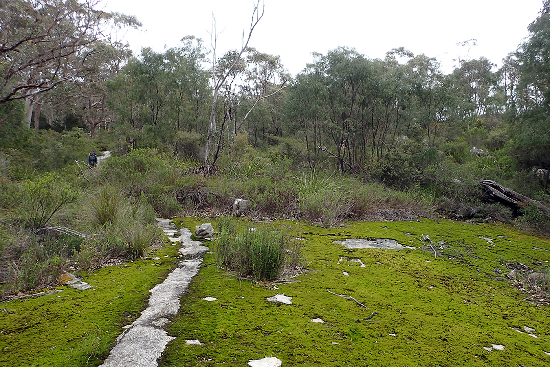
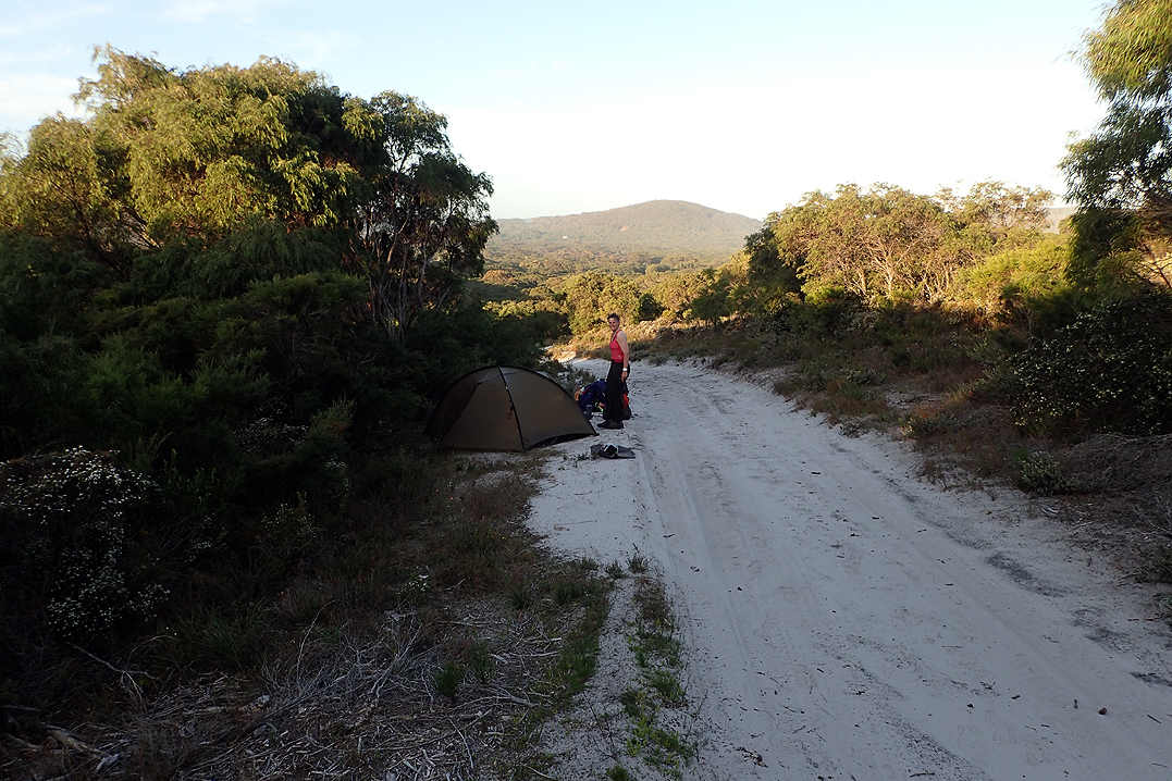
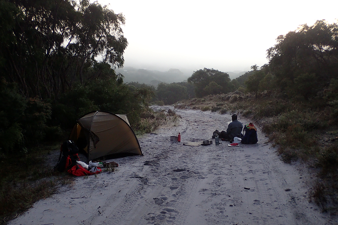
We took a long rest at Ginger Creek. This became a pattern for us. As we do not always camp at a hut at the end of the day and often reach a hut mid-day we would usually take 90 min off at that time and often have our main meal, take off our boots and relax. All hikers carry a tent on the trail as it is supposedly mandatory to do so, but almost none of them use the tent as they choose to stay in the hut. In winter the hut is much colder than a tent. Also, as we learn later, the huts are home to water rats etc. As always, our tent feels like home.
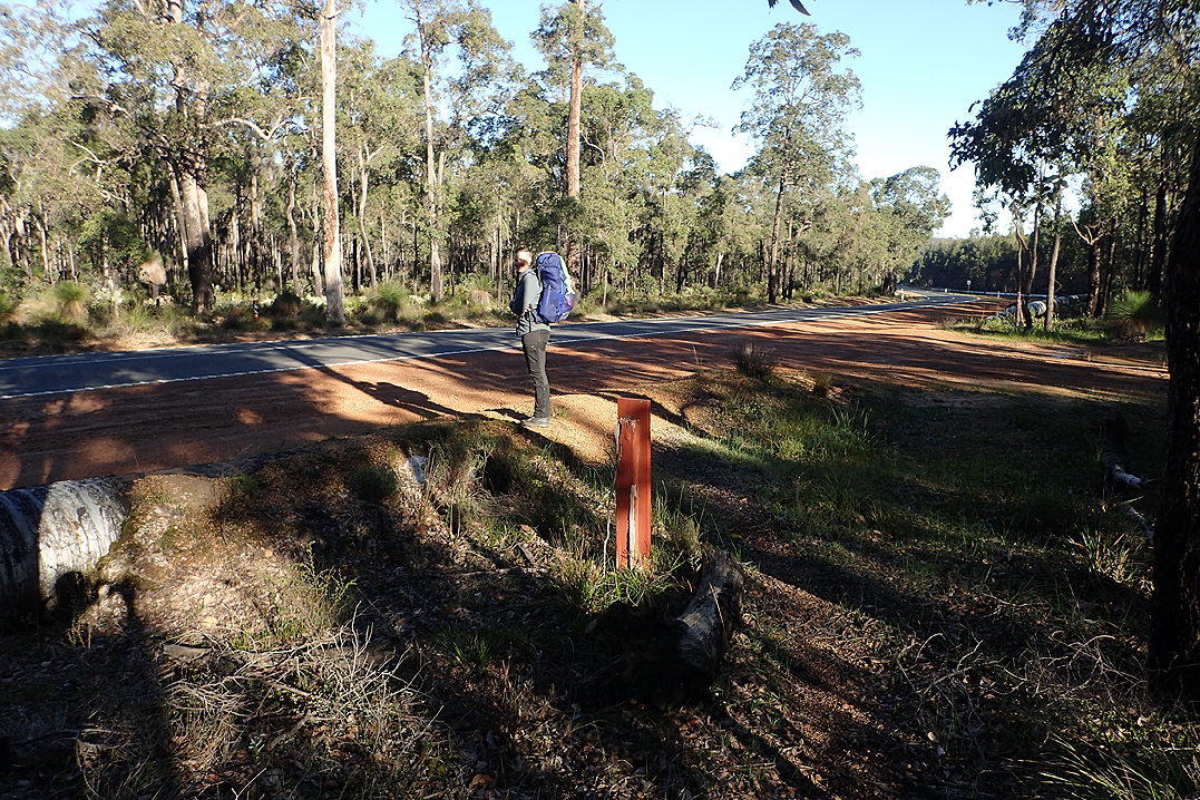
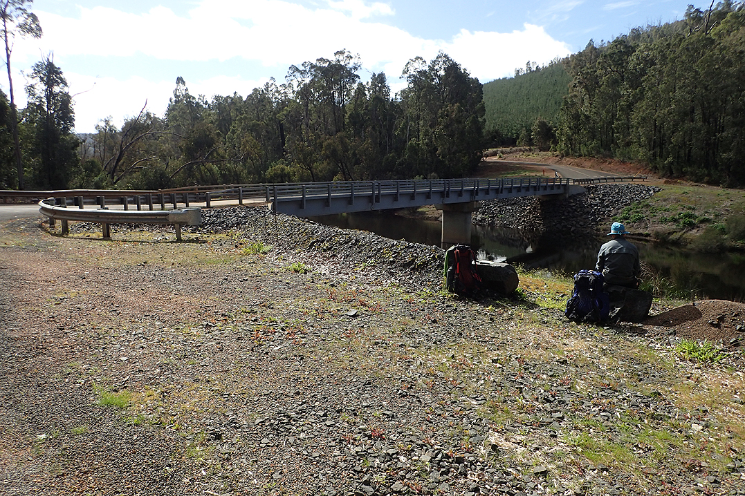
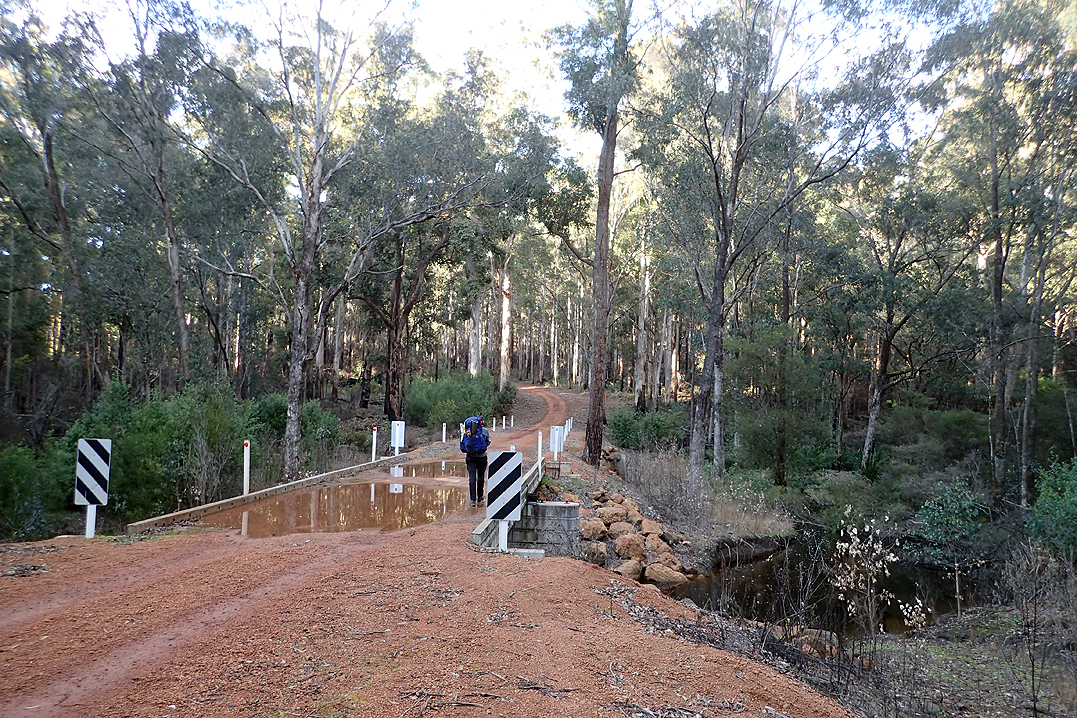
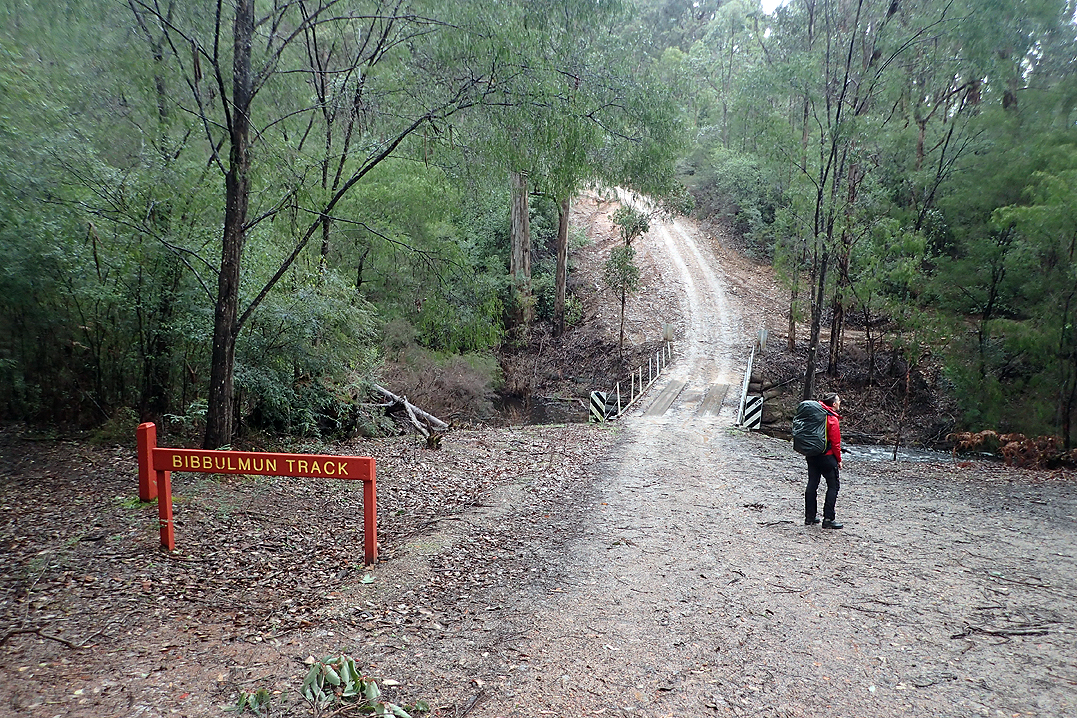
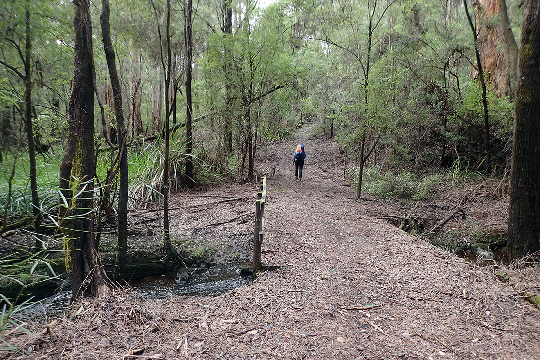
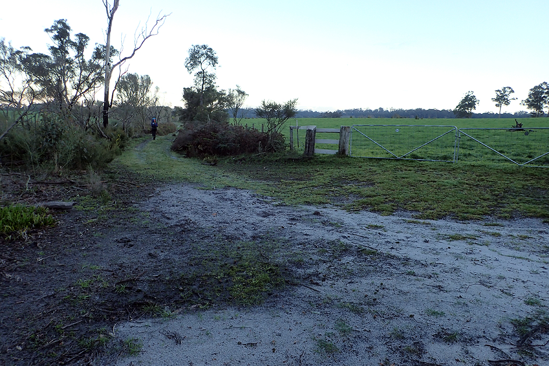
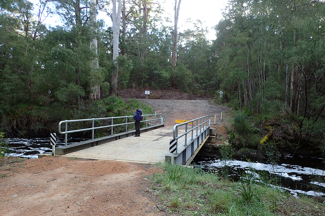
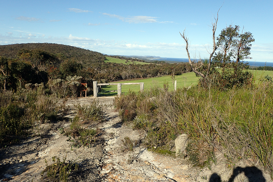
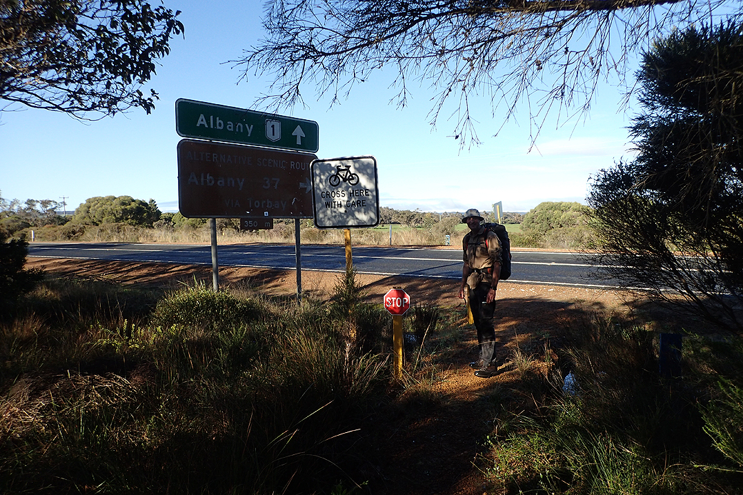
Geoff and Dolly caught up to us at Ginger Creek. Most hikers pop off the trail here to walk 1 or 2 km to the service station to buy an ice cream or sausage roll. Seems like a big effort for not much reward. We were to go on to our first bush camp. On the way we crossed Albany Highway. You would think that being within 100m from a National Road would guarantee you mobile reception at least, alas it was not to be. This would be a continuing theme of the trip. No signal at all, let alone the internet. We reflected on all the cycle tours we have been on in remote Sweden and Finland and almost always have both.
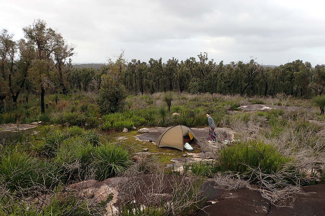
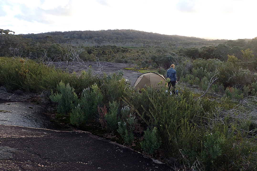
We tried to get to a spring that we had seen on the map but in the end it was too ambitious and we camped on top of the beautiful dome from where we could watch the sun set over what looked like the whole of WA. As our alarm is set for 06:00 we also wake in the dark and see the sunrise each morning which is great. We are in bed by 17:30 so it is a long night and so we don’t mind the early morning.

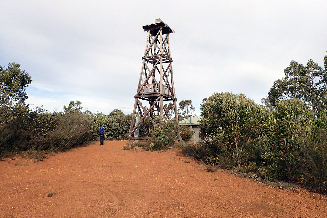
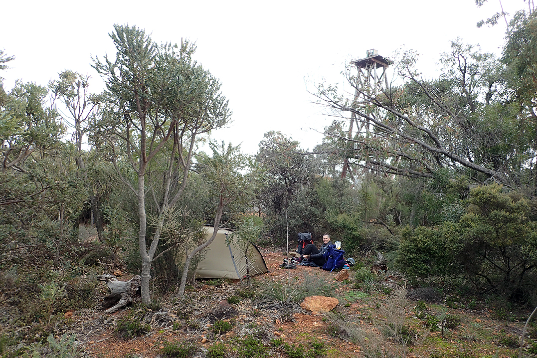
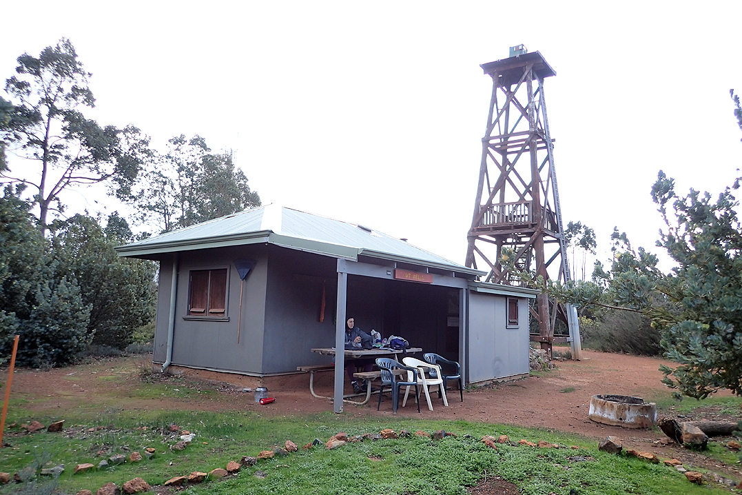
It was a good thing we had not persevered to get to the spring last night as when we passed the spot on our map where it was marked it was impossible to find it. Mount Wells Hut is a different sort of structure as it is the old fire lookouts accommodation.


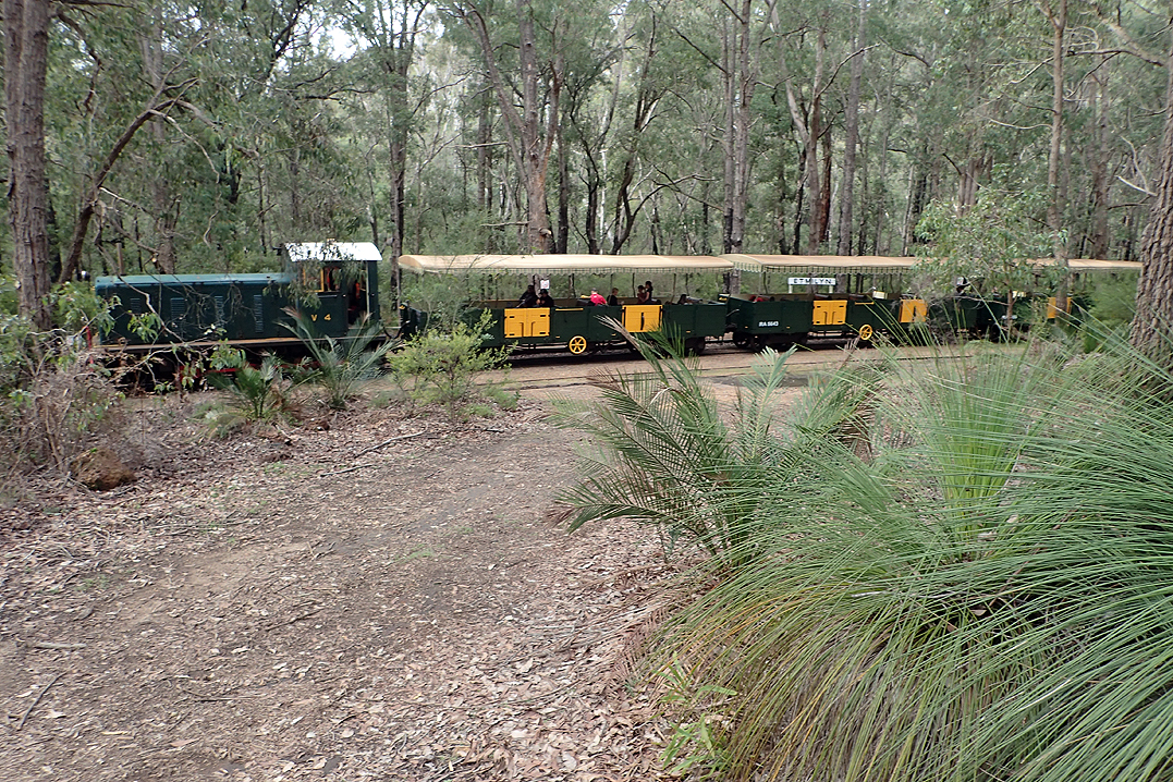
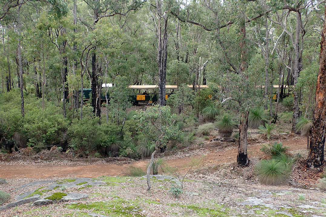
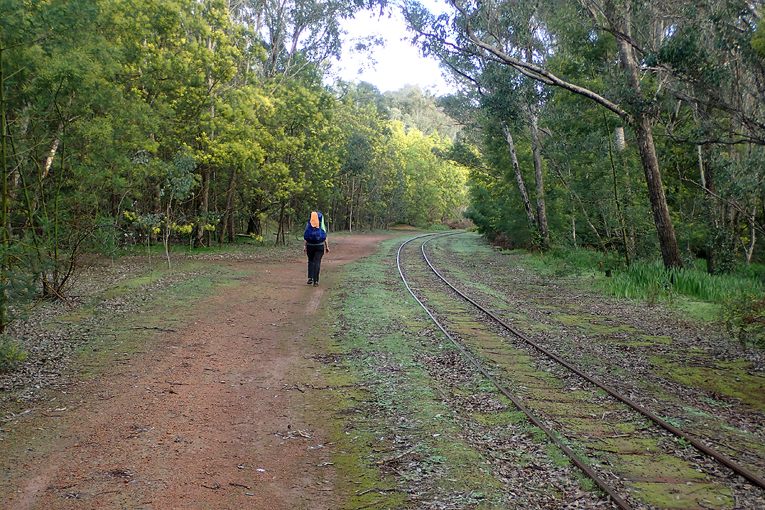
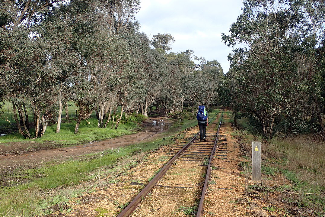
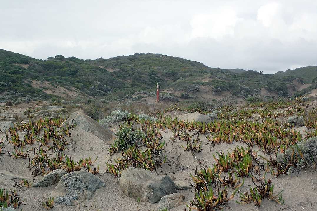
Our last day before Dwellingup. We were feeling impressed by our progress and were enjoying our lighter packs! As we would repeatedly find, by Day 5 your pack starts feeling much lighter as the fuel load reduces. We passed a scenic tourist railway towards the end of our day and camped high up on another dome rock again. We saw our first splendid fairy wren, brilliantly blue from head to toe. We were to see only two on the entire hike. We would often see another sort of wren, or robin which was black and white with a very brightly coloured orange-red breast.

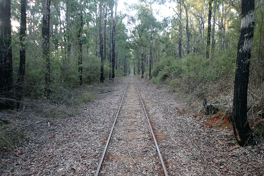
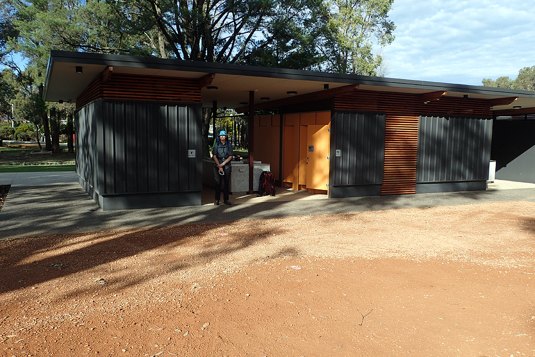
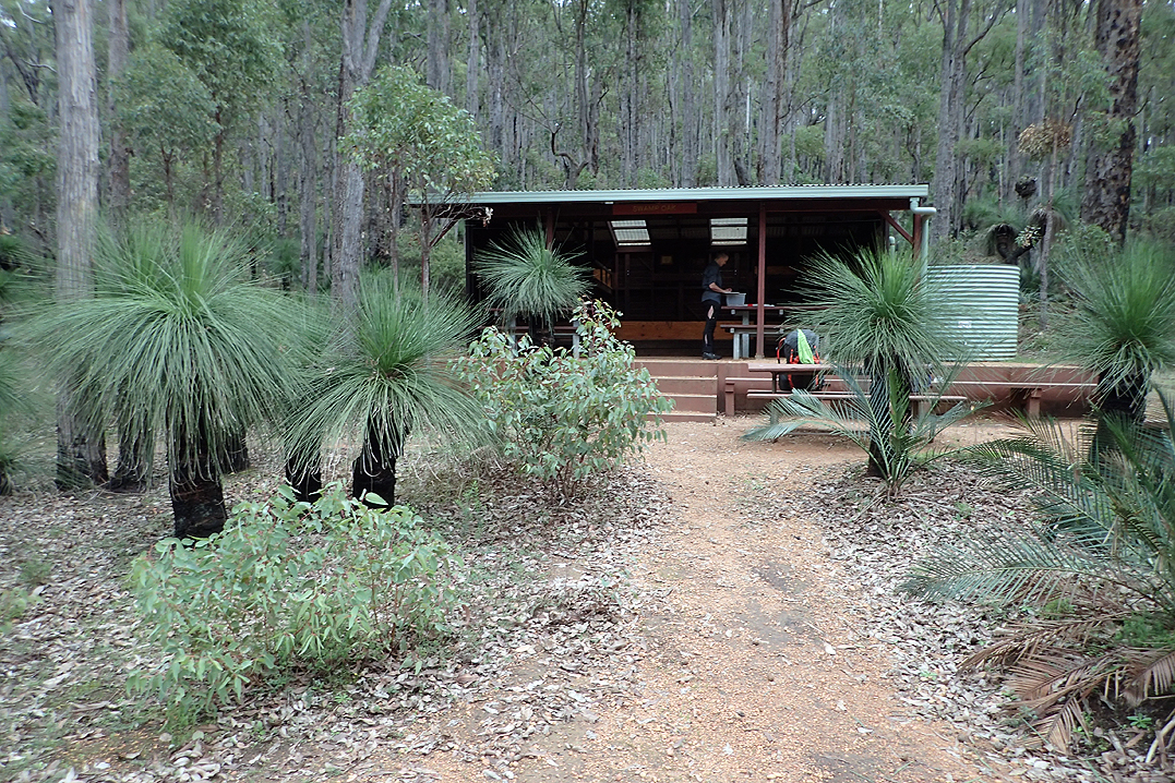
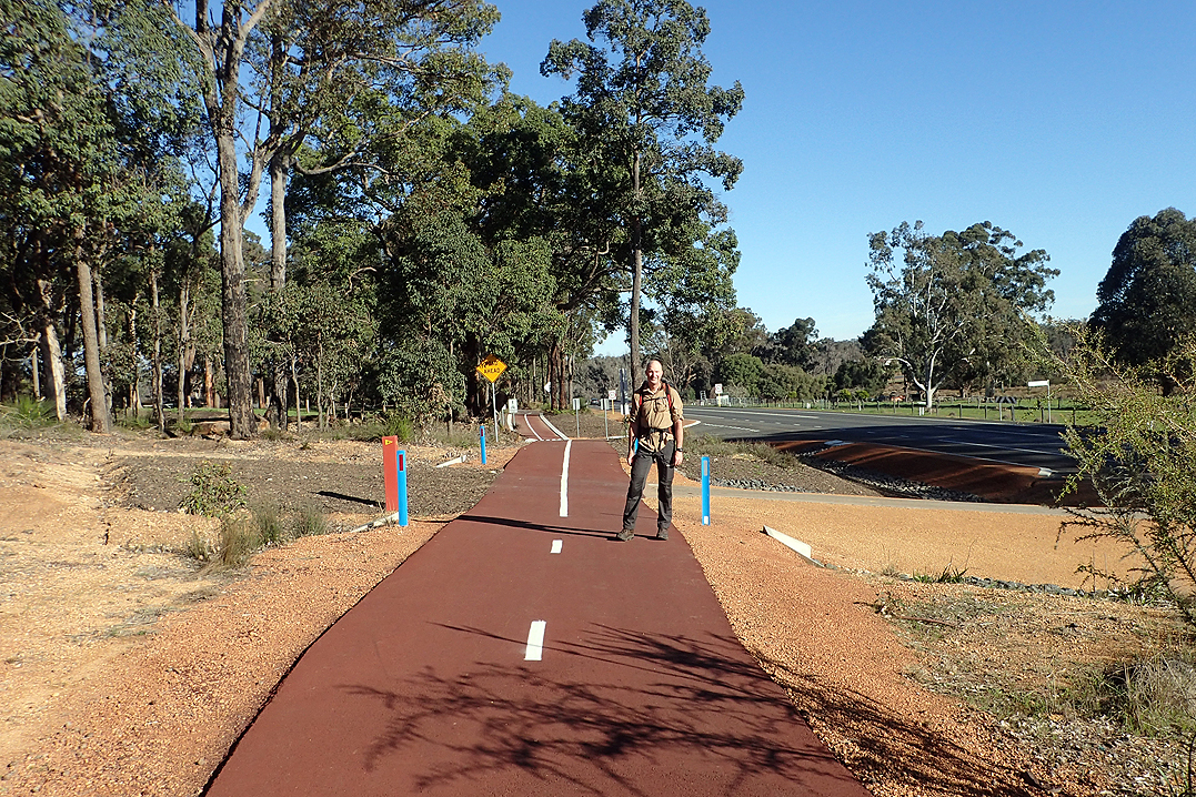
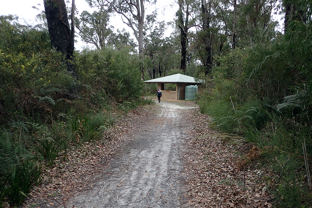
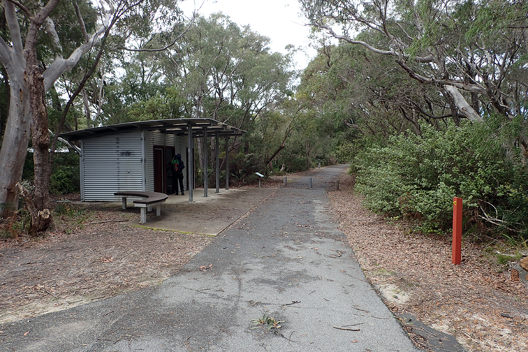
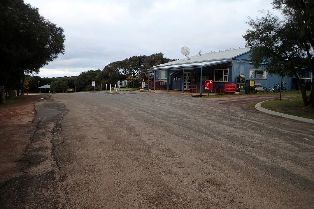
We walked into Dwellingup along the railway tracks and were very pleased to get there! As you enter the town from the trail the first thing to greet you is a fabulous brand new shower/toilet/laundry block which is purpose built for the Bib Track and Munda Biddi. Wow – what a surprise! Hot shower! We then went to the post office to pick up our food parcel which we had mailed from Perth and bought some extra items at the IGA Supermarket.
We ate our cheese and tomato buns (another regular treat in any track town – no hamburgers or ice creams for us!) and walked out the other side of Dwellingup to the next hut. We found we were happier passing through the villages on the track in most cases instead of staying there. There was heavy rain overnight again, our tent performed well. Cannot complain about overnight rain!

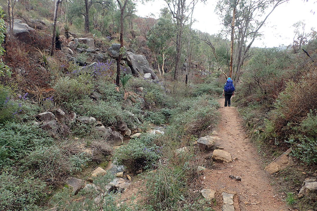
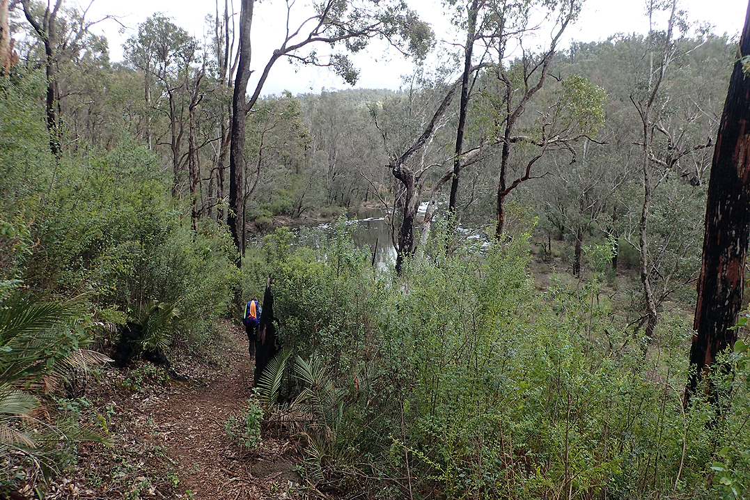
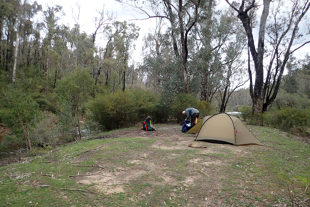
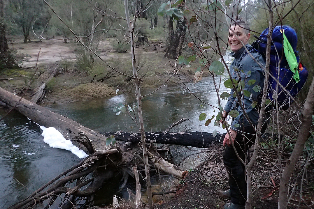
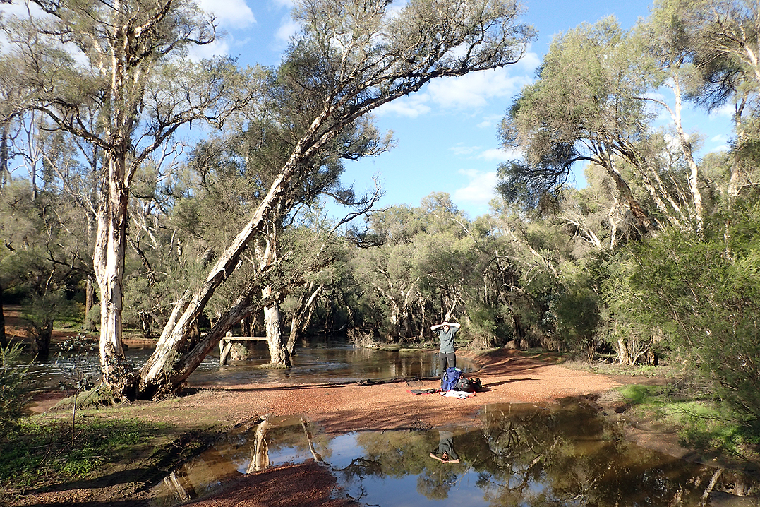
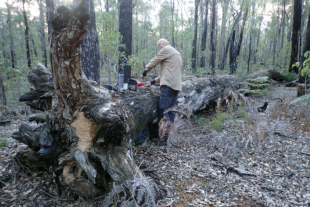
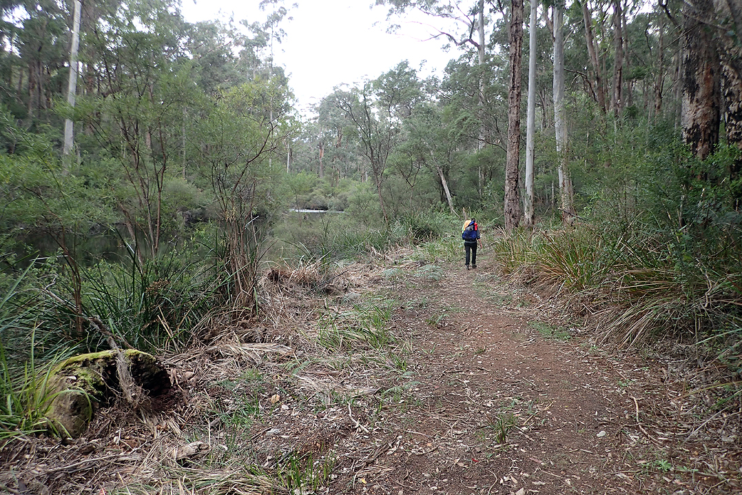
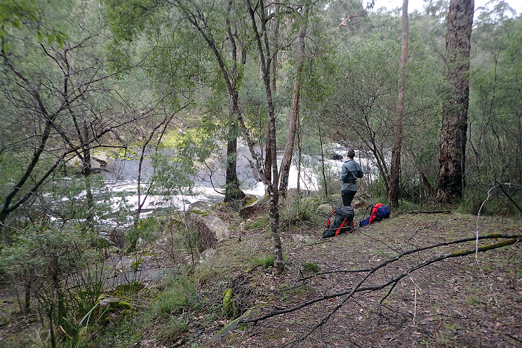
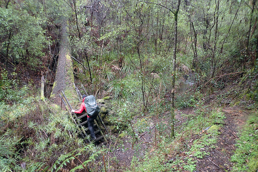
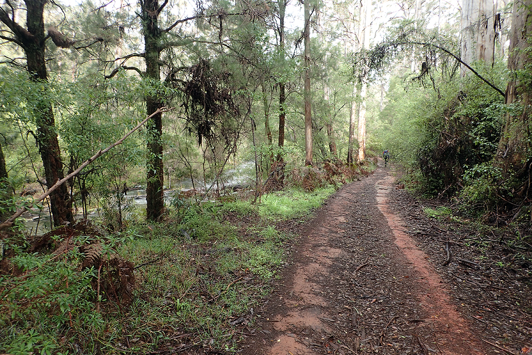
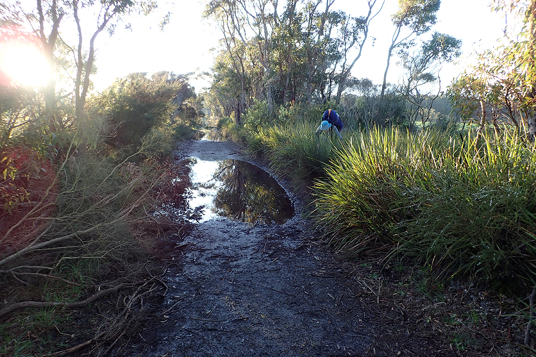
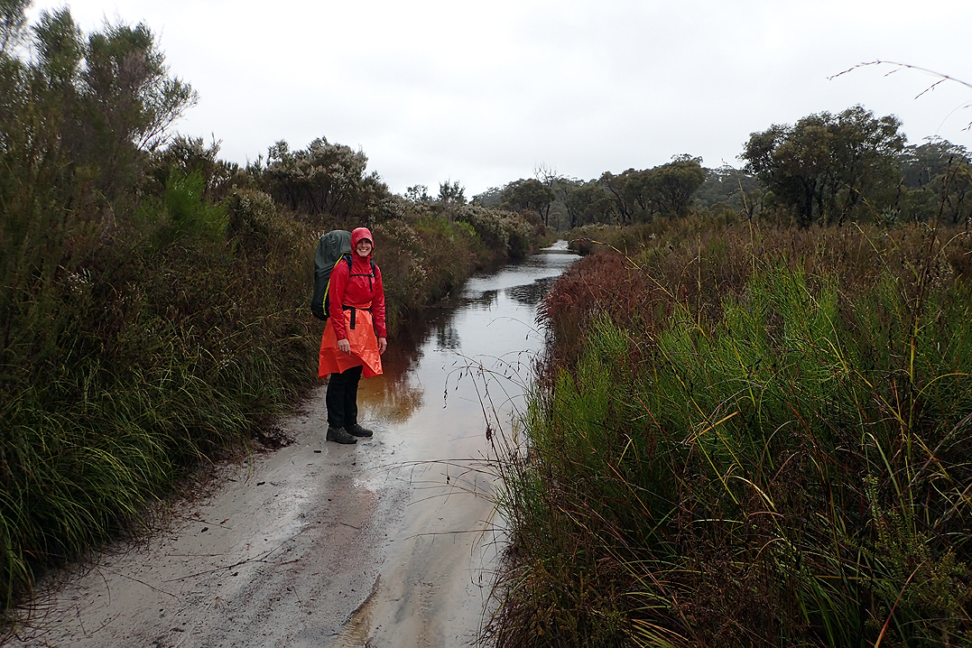
This section is dominated by the Murray River which we hoped would offer up river swims. It did, but the abundance of water also meant quite bushy, overgrown pathways where you felt hemmed in by creepers and over ambitious thorn bushes. We like open spaces so this was not a favourite section for us. We had our main meal at lunchtime at Murray Hut and kept going, seeking out the perfect camp spot along the river bank. This took longer than expected until eventually it was inching towards 17:00 (sunset was 17:30) when we spotted a good option. It entailed some bushbashing to get to the river and then climbing along a huge fallen tree which spanned part of the river. This deposited you on an island where you could camp. It was a great spot. Mike offered to walk both backpacks across, which was a good thing as I slipped on my arse in the mud before even getting to the log. My behind was CAKED in it. Washed the area in the river so I had partially wet pants to look forward to first thing the next day. Now we only had to hope for no rain overnight, camping in a floodplain always makes that one’s most fervent wish!
Happily we had no rain overnight and the first obstacle this morning was, yes you guessed it, running the fallen tree gauntlet again. We had started to find that our feet no longer recovered overnight to their usual state. For the first week or so, even though your feet were quite sore and tired by the end of the day, they miraculously repaired themselves over the 11-12 hours spent horizontal overnight. We were now waking to slightly swollen feet still which were not as nimble first thing in the morning. This, along with the slippery dew, made Mike a bit nervous doing the tightrope walk over the log with each pack. I watched and applauded. Then I scooted across on my butt and promptly fell into the mud again on the other side, this time onto my knees and front just to even things up.
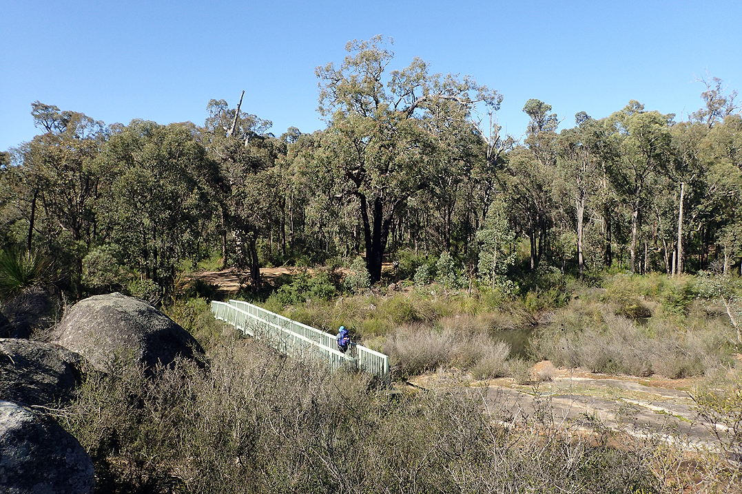
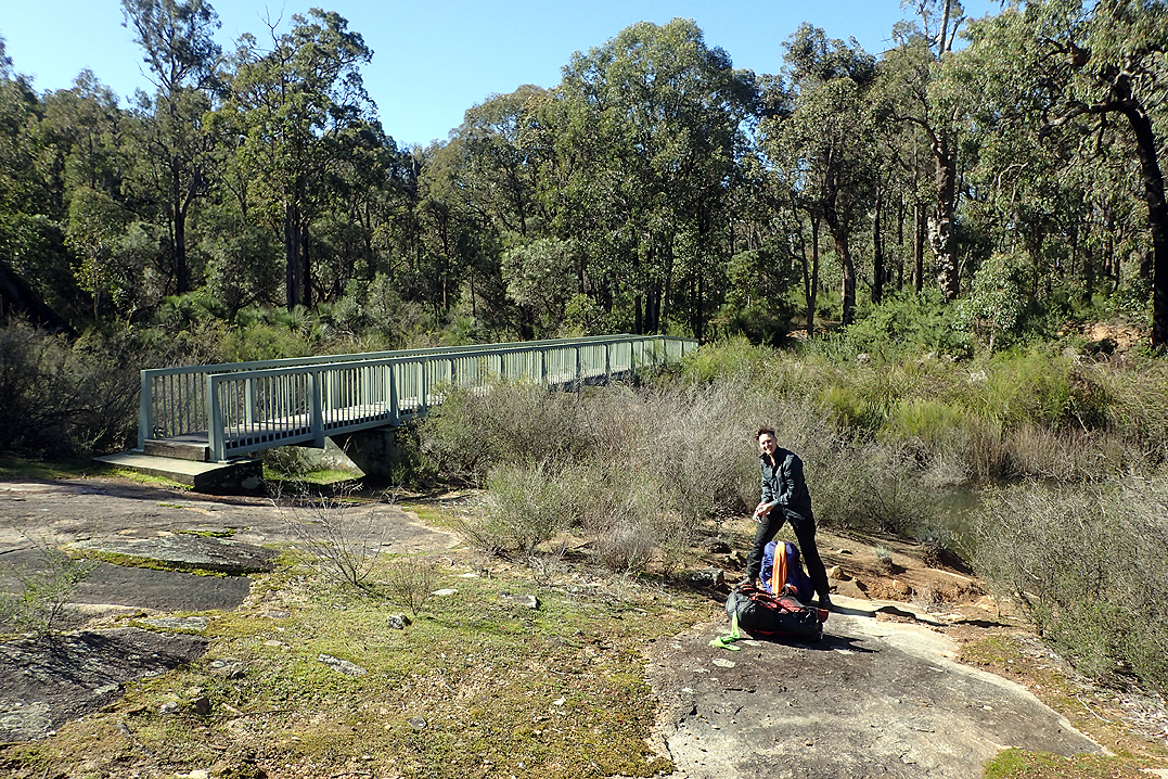
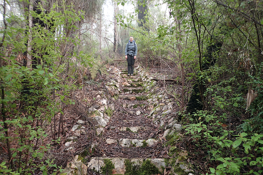
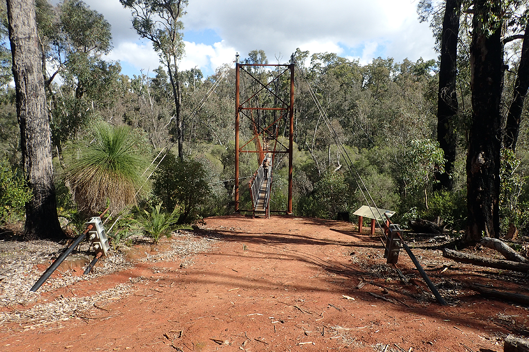
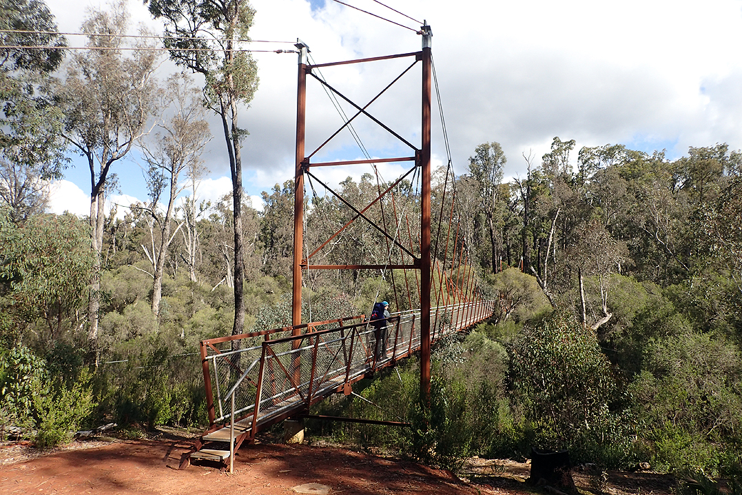
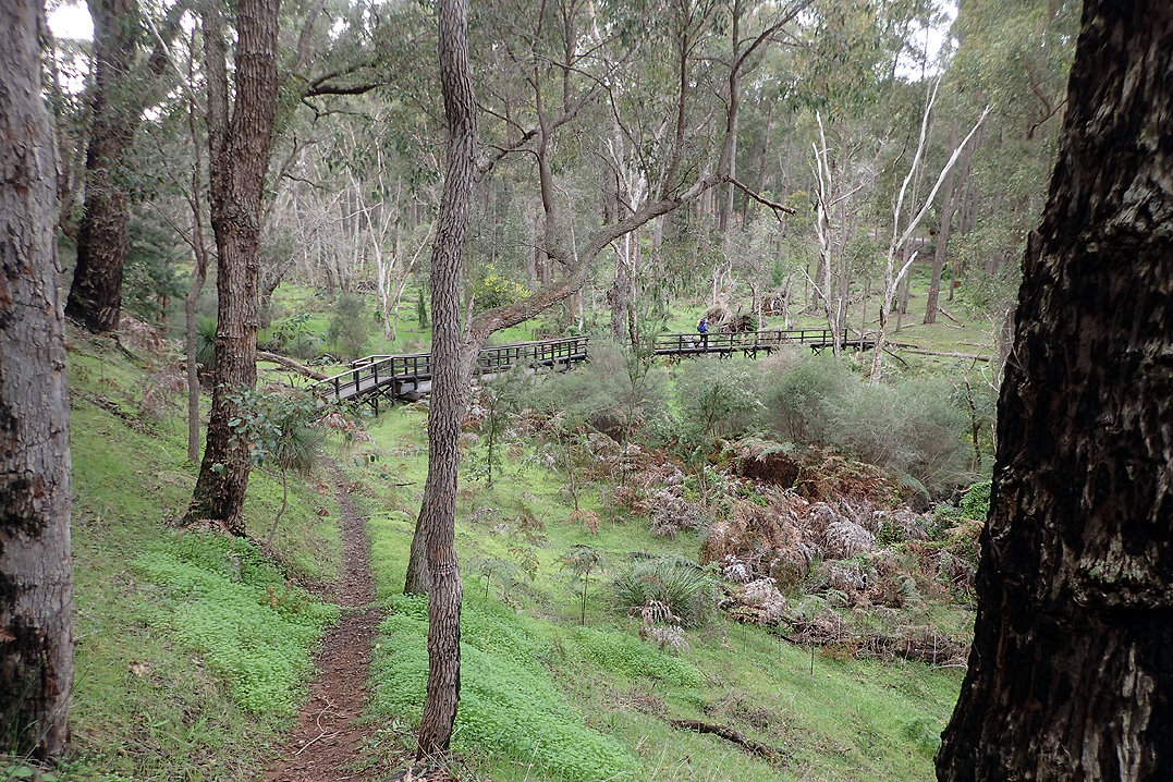
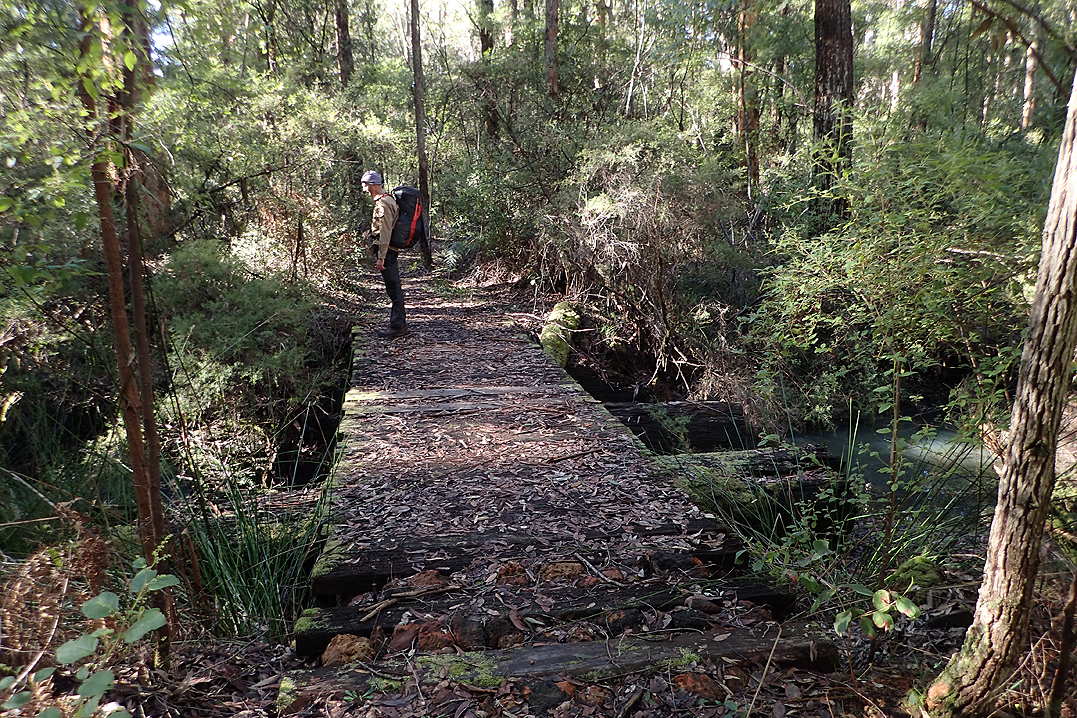
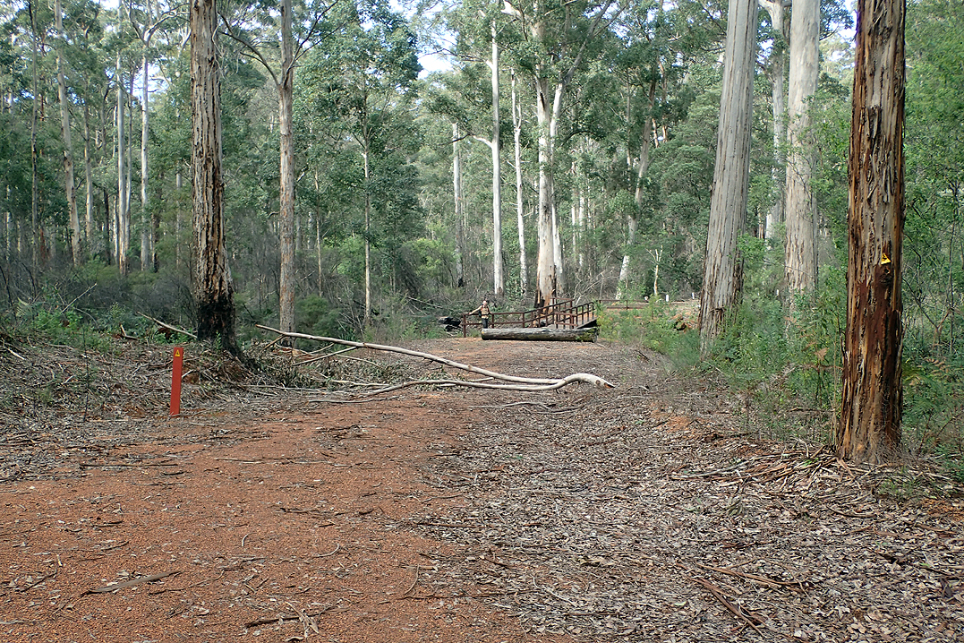
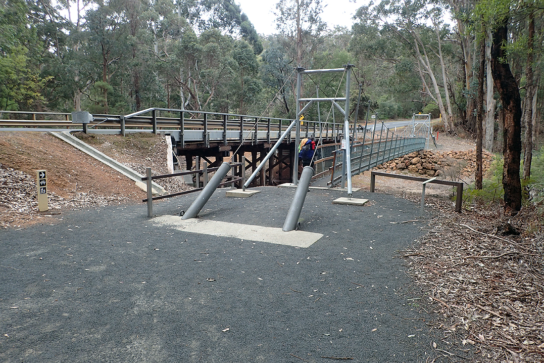
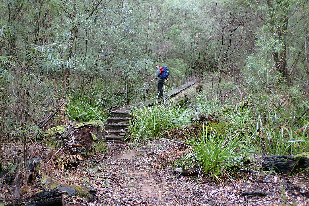
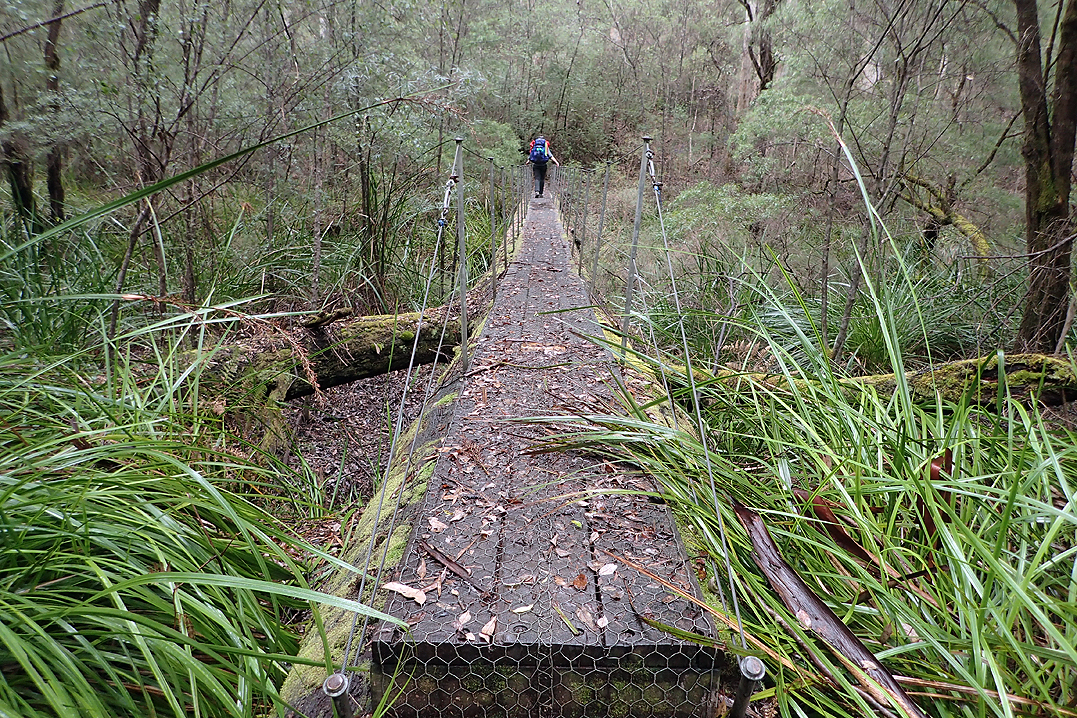
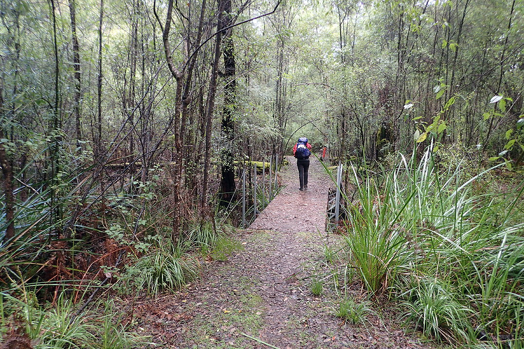
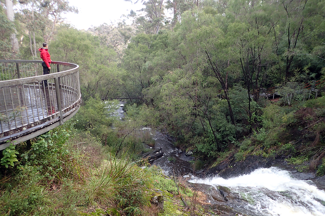
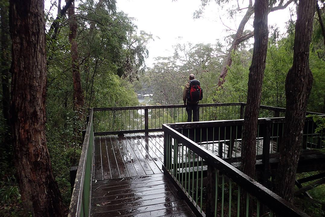
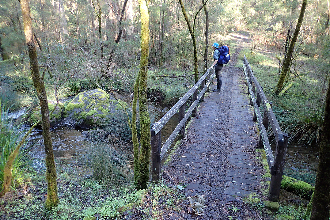
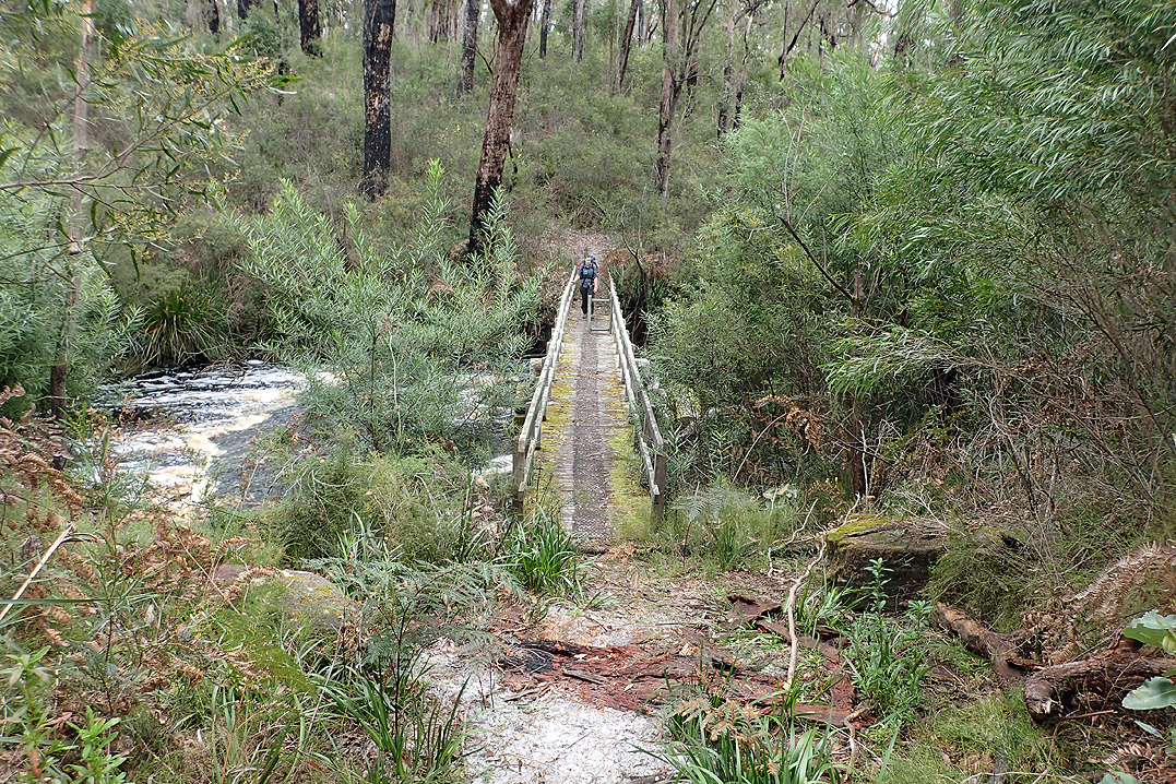
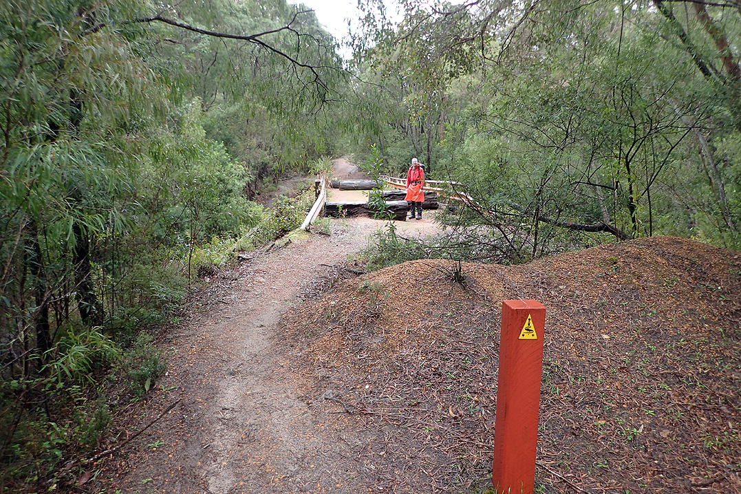
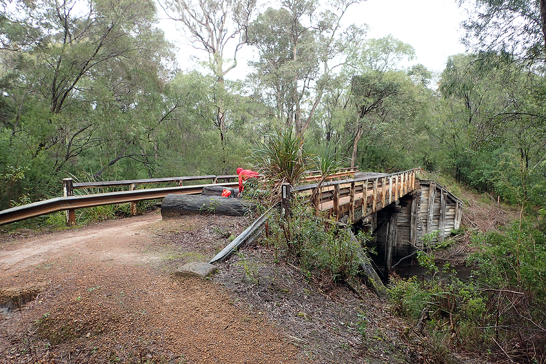
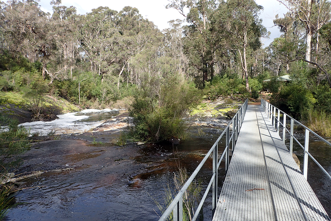
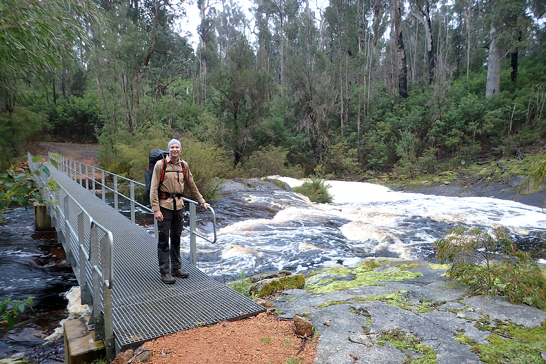
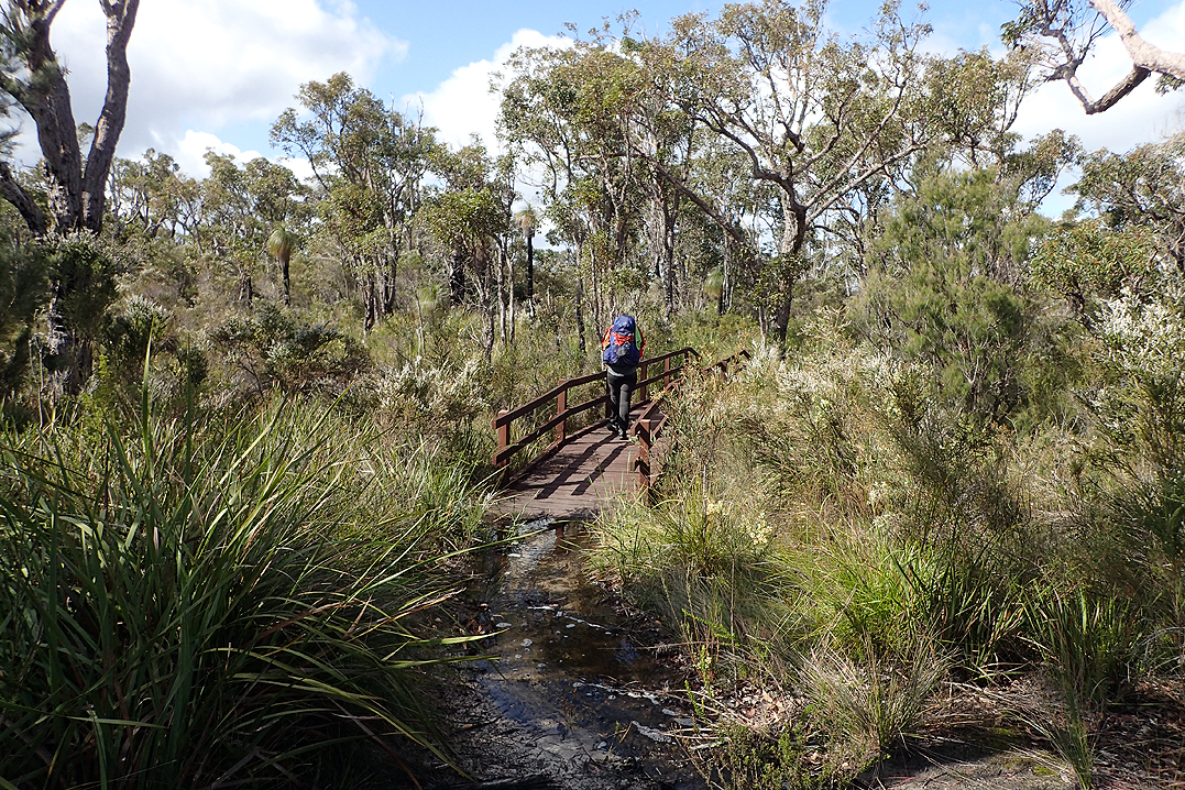
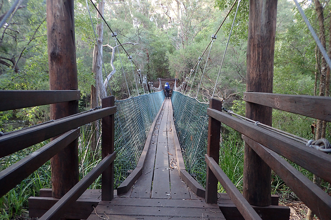
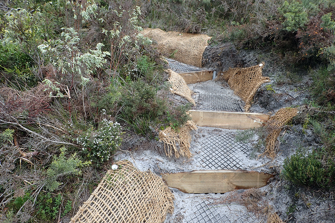
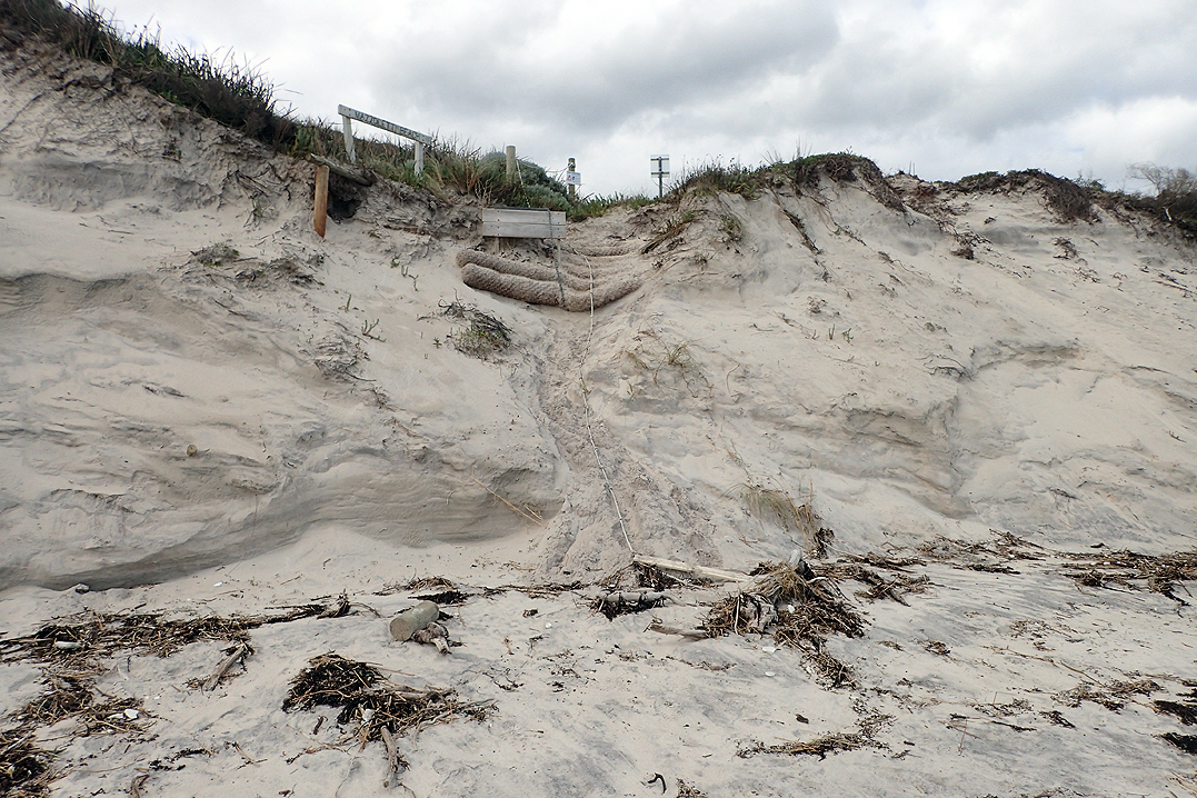
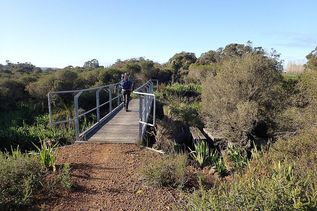
On this day there were heaps of camping options along the river. We crossed an impressive suspension bridge which is only there for hikers. This is just one example of the care taken with infrastructure and development to ensure the hike continues safely.
We camped at a great spot where we could have a good river swim as we did last night. Everything we brought with us on the trip entailed a conscious decision, as did everything we left behind. As much as we wanted to bring water shoes, we decided they were too much of a luxury weightwise. But honestly, we were in agony walking into these rivers over pea gravel. Our poor feet were not up to more punishment!
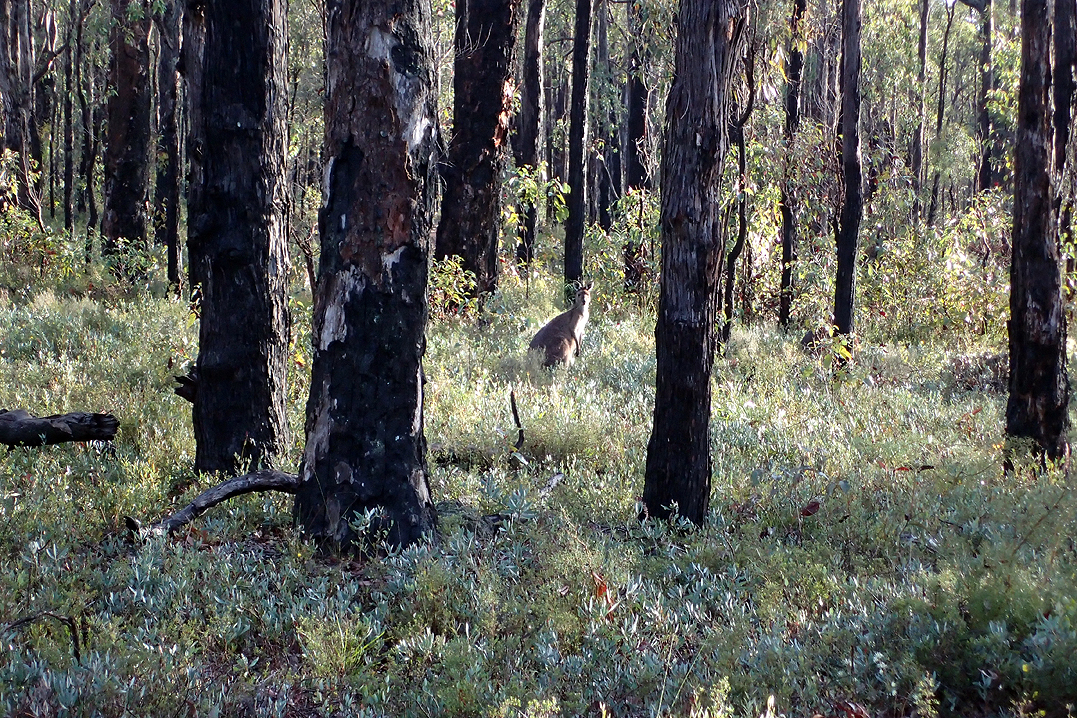
We had a misty night and were visited by many skippy’s, the path that we camped off was a Skippy Highway!


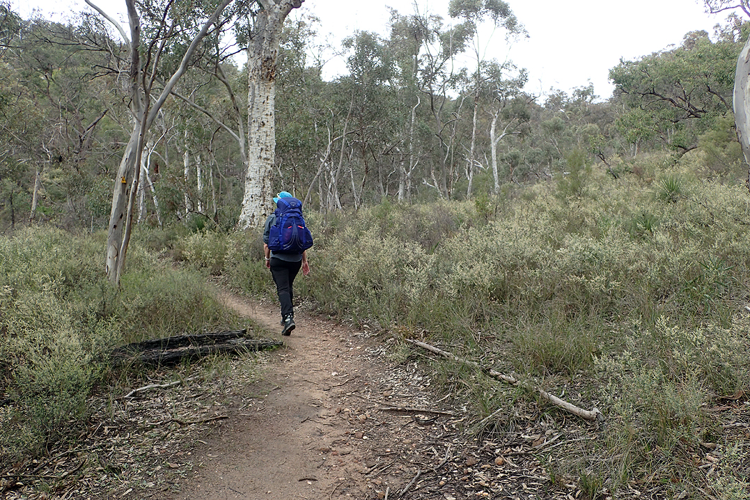
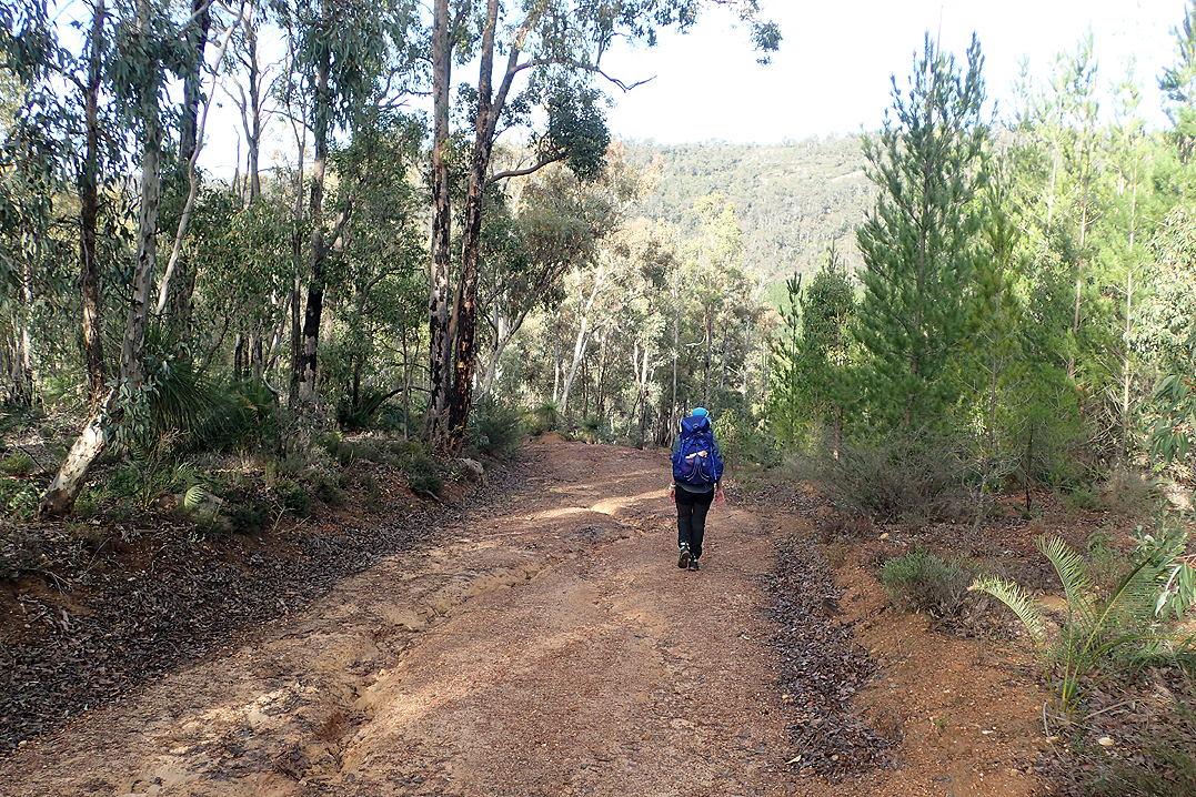
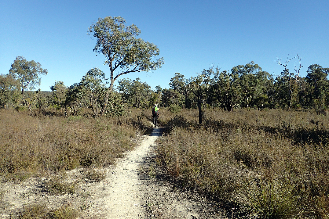
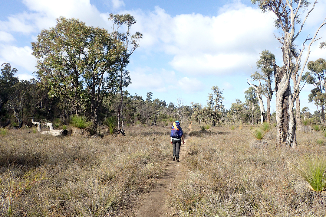
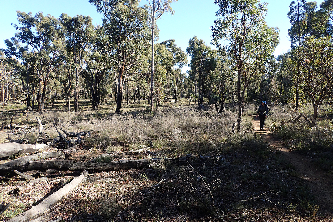
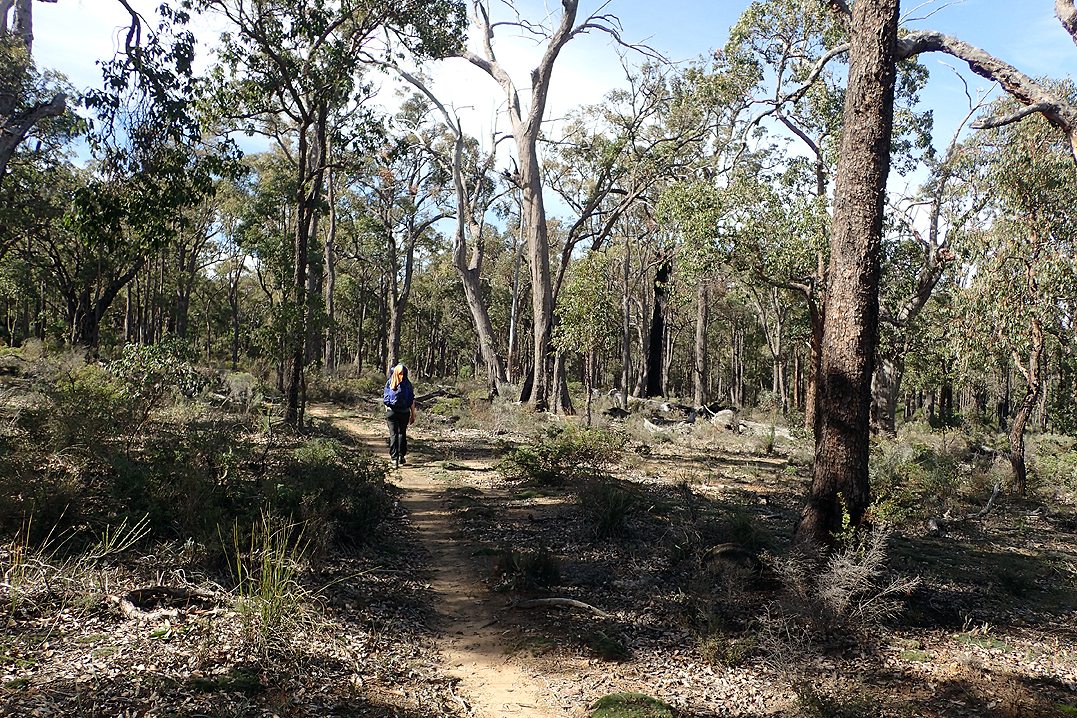
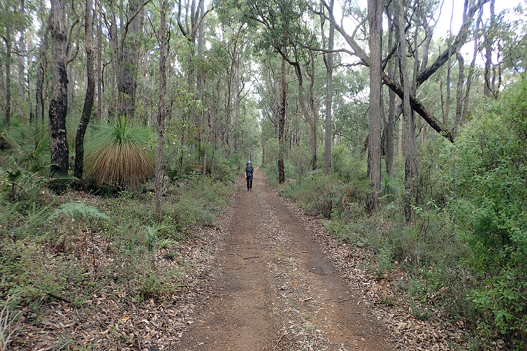
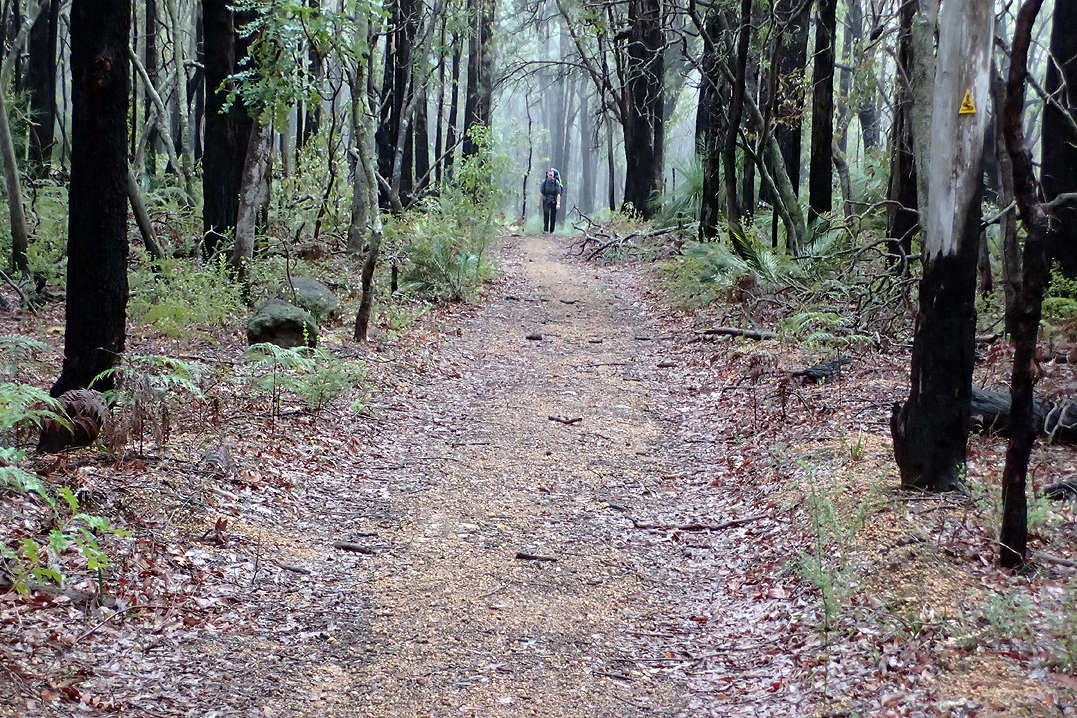
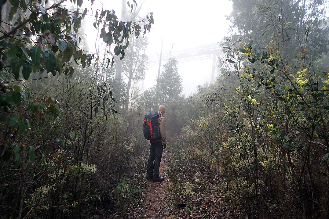
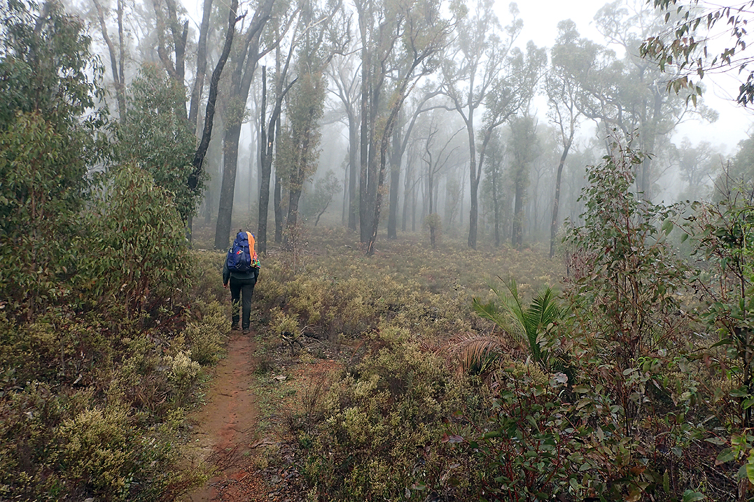
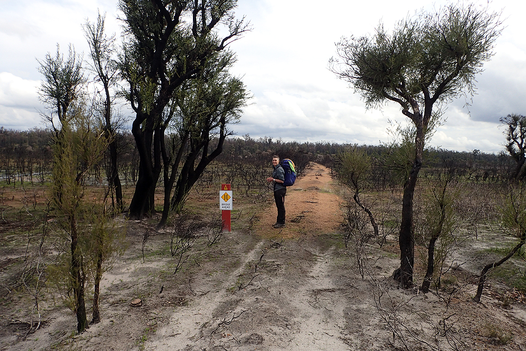
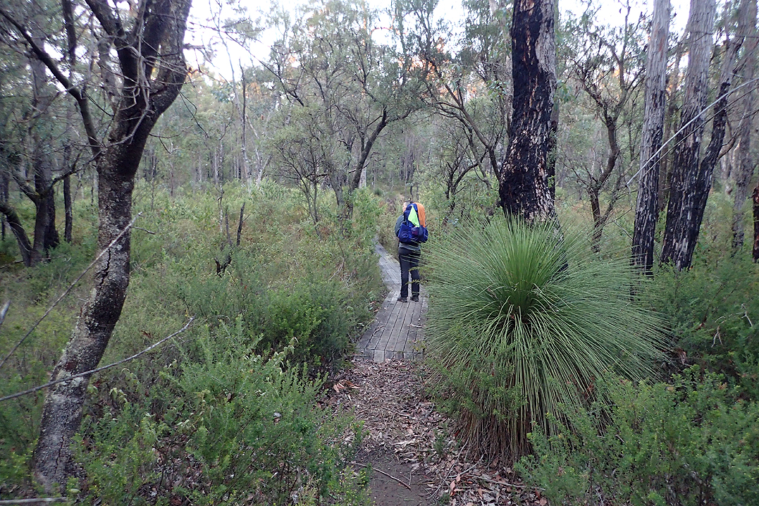
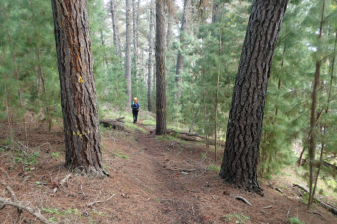
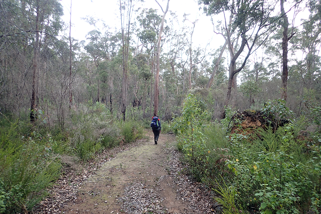
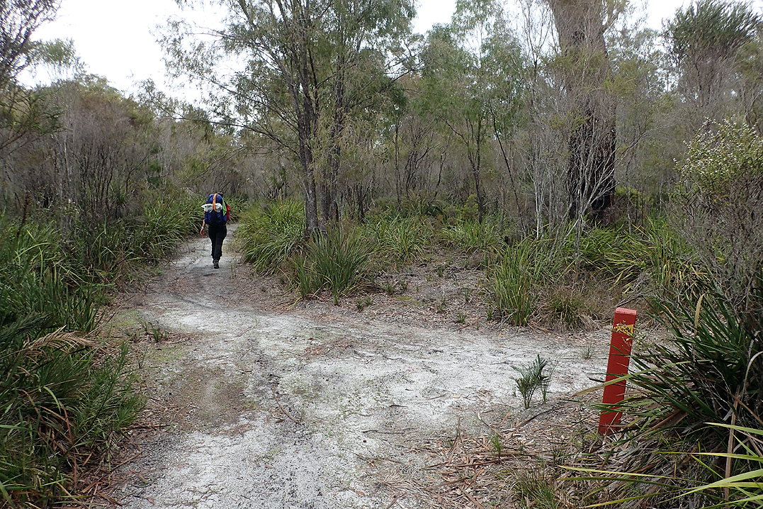
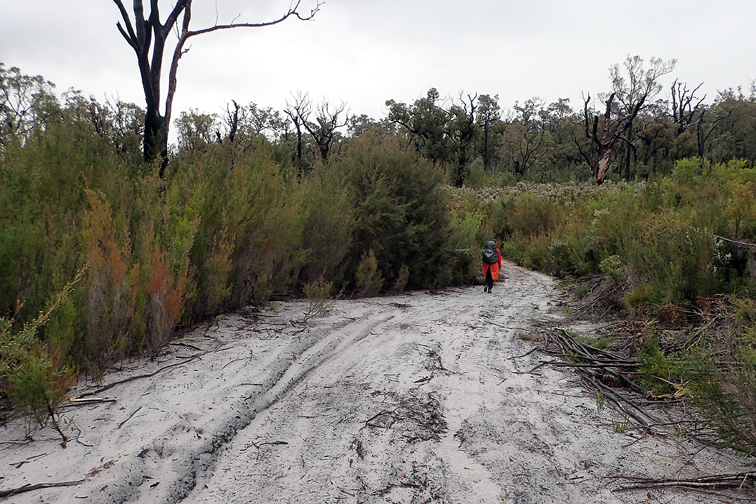
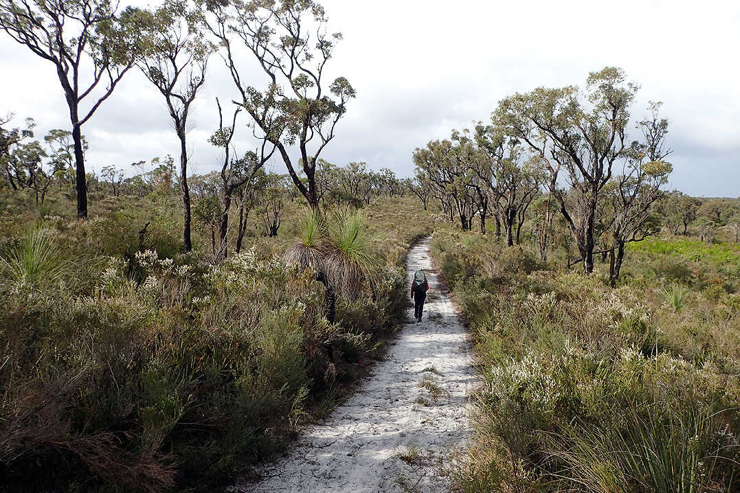
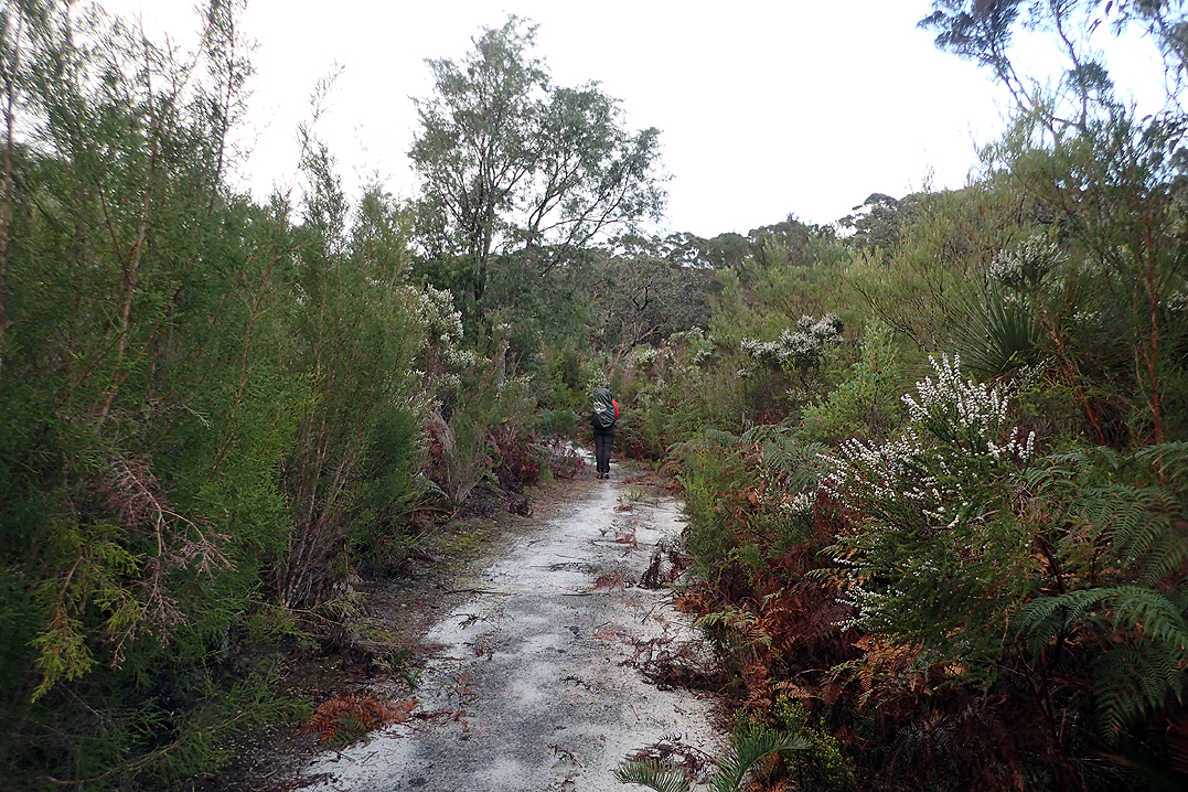
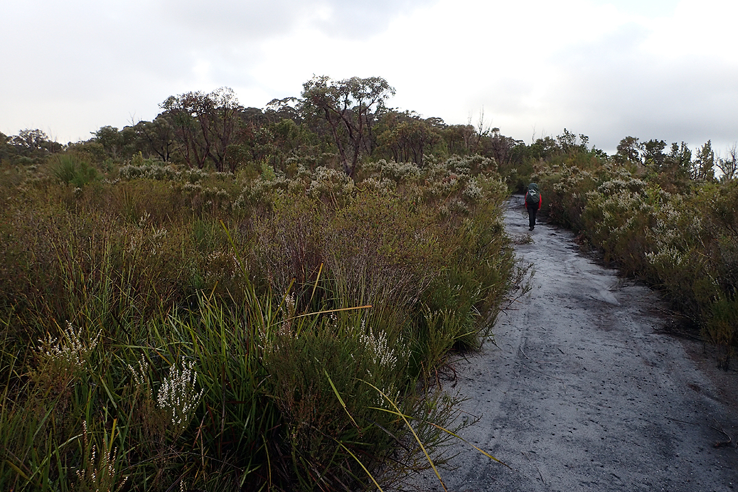
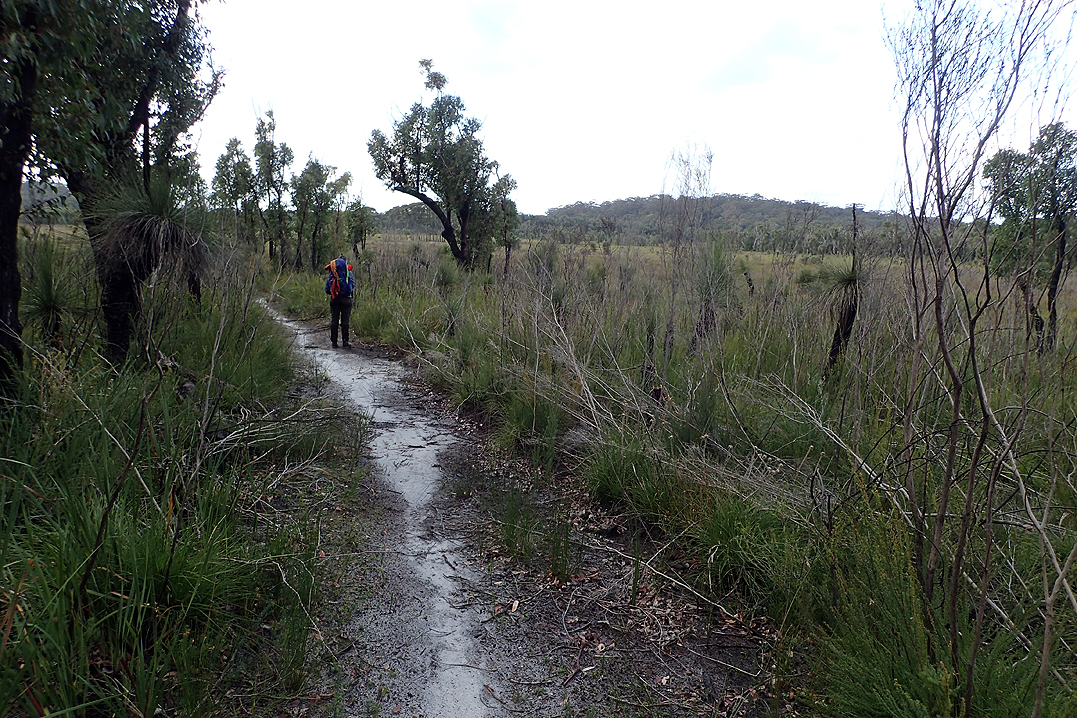
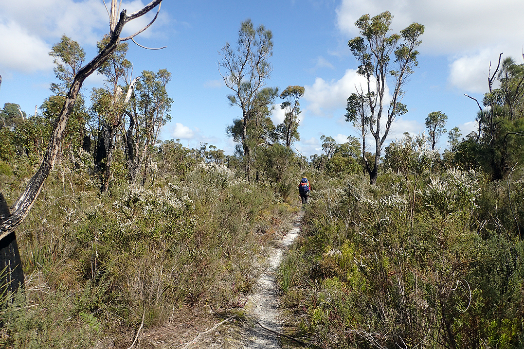
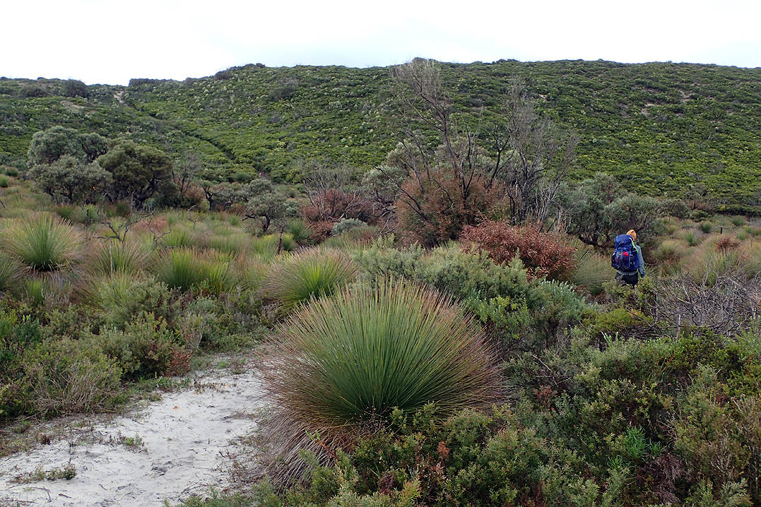
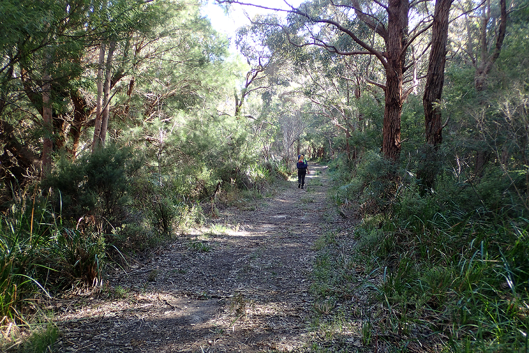
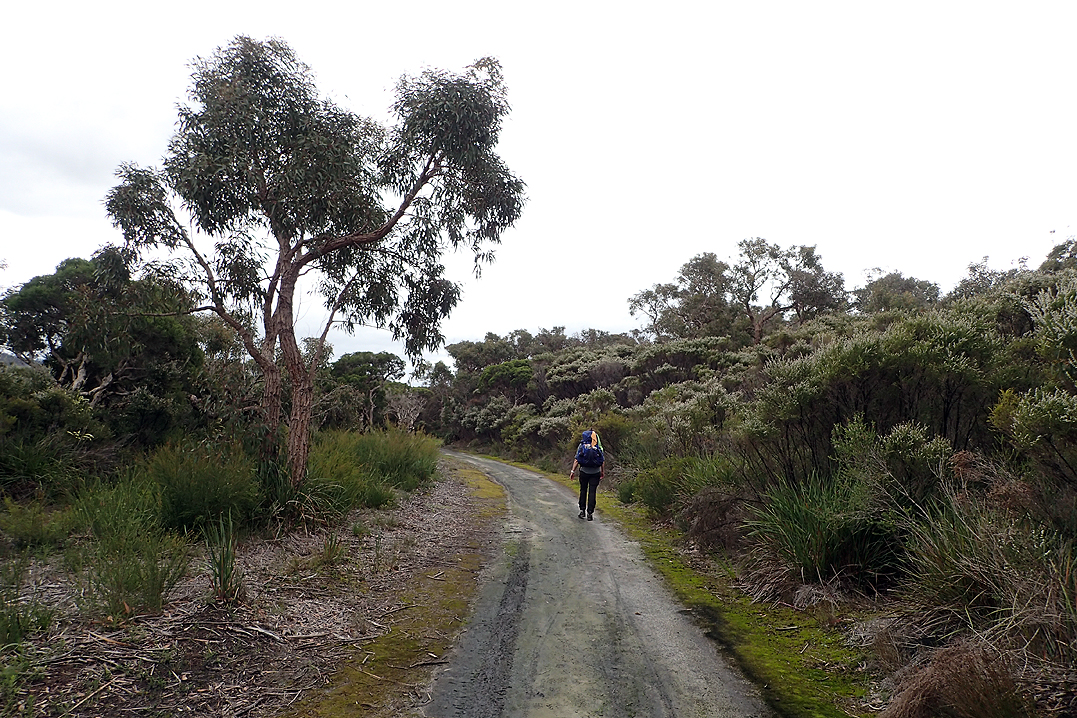
We were starting to settle into our "distance rhythm" by now. For us 26-28km is a good daily distance. Our best advice to anyone undertaking this hike is "Pick your distance. Repeat it day after day after day no matter where it ends up". It was a misty morning. We had heard an industrial sound all night and it was a conveyor belt for Worsley Alumina mine. We walked underneath it in the morning. Many of the trail is bordered by hakea bushes whose yellow flowers seem to be luminous in the mist or in low light. We found this amazing. In normal sunlight they were just a lemon yellow, but in early mornings they actually glow.
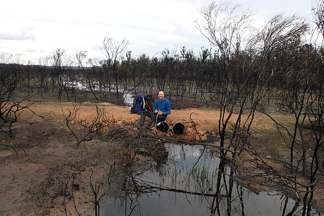
Before camping tonight we crossed a wide floodplain with a river flowing across the centre. The whole area was beautiful as it had been burnt out and the path was raised over the water. We camped just after this.
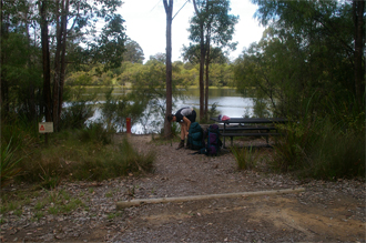
We had camped only a few km’s short of the next hut so we stopped in for breakfast and had a chat to a hiker who had overnighted there. He was hiking from Balingup to Kalamunda. We found that when people ask where we had walked from they can’t really grasp that we camp out wild, i.e. not at a hut. We really appreciated the convenience of the huts especially when we could time them for meals as that reduces the amount of water you have to carry in between. We had found that by now 500ml of water was ample to see you through the day apart from your meals and tea etc.
Harris Dam was a great spot and we saw our first emu here. I discovered that I don’t like emu’s much. After this we went a little further along the trail before setting up camp in the forest.

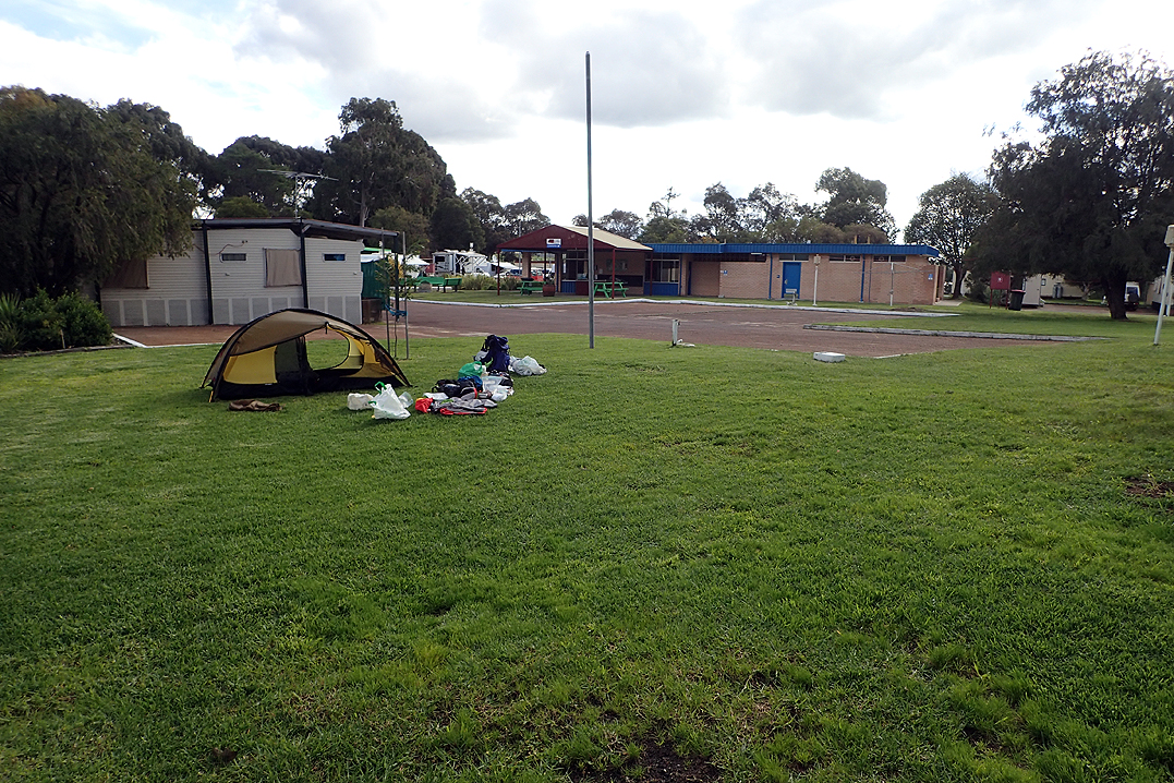
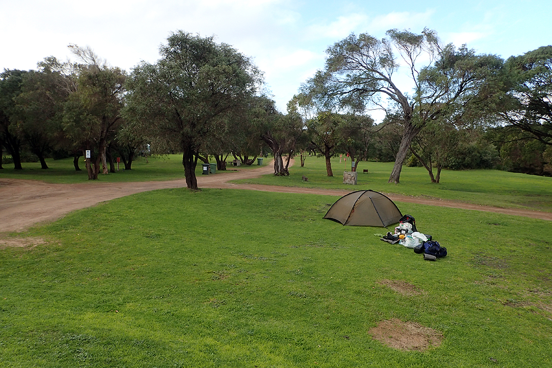
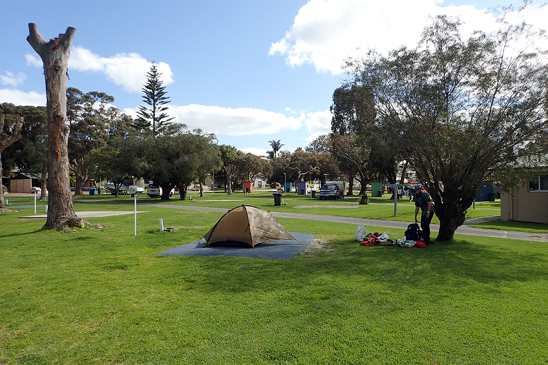
Overnight I found my mattress losing air and we found on closer inspection in Collie that I also had a puncture. We decided to purchase a foam camping mat which we cut in 2 so that we could each have an extra layer of protection under our mattress. Also, since Mike’s puncture we had been placing our rain jackets under our mattresses for protection. So now we had a mattress for our mattress. The joys of modcons. We resupplied at Collie and camped at the campsite in town which meant hot shower and laundry! As well as the foam mat, we bought an extra pair of scissors as those in our little leatherman were not functioning properly. Also a heavy duty elasticised knee brace as my right knee had swelled up alarmingly.
We had a relaxing afternoon in the sun and also repaired my mattress puncture. We appreciated camping on the lovely soft lawn!
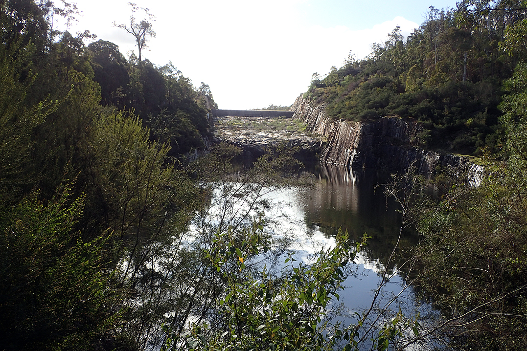
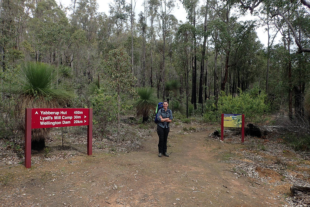
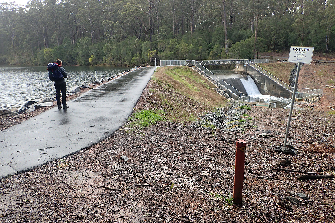
Just after the uphill climb out of Collie we met David and Krishna, whose overseas travel plans had like ours this year been cancelled, they were hiking Collie to Pemberton. We caught up with them again at Yabberup Hut. This is just after the Wellington Dam Spur Trail. There is a group hiking shelter at that point. They were overnighting at Yabberup, as were the three girls from Freo who’s log book entries we had been reading. We found that most E2E’ers would have a day off in each track town or village, which meant that over the 6 weeks on the trail, we caught and passed many of them. It was nice chatting to Krishna and David. We pressed on to Glen Mervyn Dam and experienced our first cloud burst while walking. The dam is set up for informal camping with a toilet. Just a note about toilets. All the way from Kalamunda to beyond Northcliffe there was almost without fail toilet paper available, which amazed us in a bush toilet. They were always in great condition and cleaned regularly. The one at the dam was no exception, even though not a Bib toilet.
It rained most of the afternoon and evening. It was a good camp spot though.


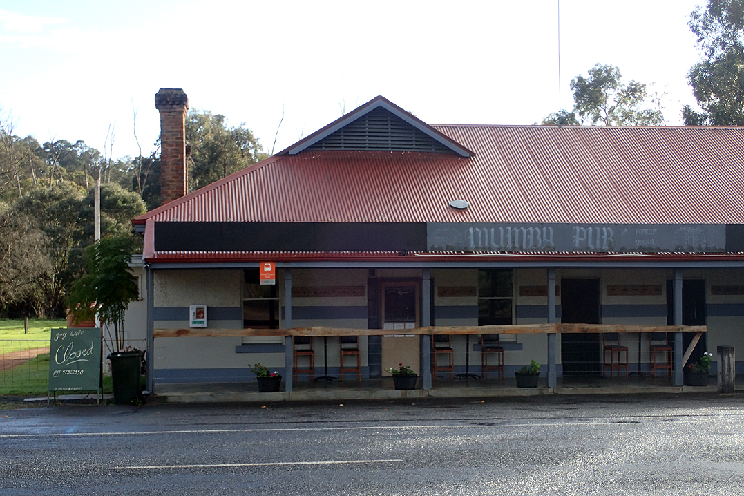
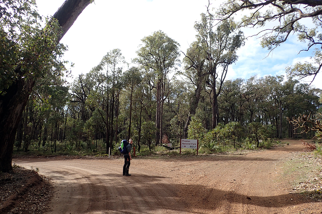
The milestone on this day for most walkers is the Mumby Tavern for a pub lunch, however we knew in advance that it was closed on Mondays, so no lunch for us! Anyway, it would be a bad idea as straight after it you have a GIANT uphill slog to Preston National Park, which would be bad news on a massive hamburger and chips.
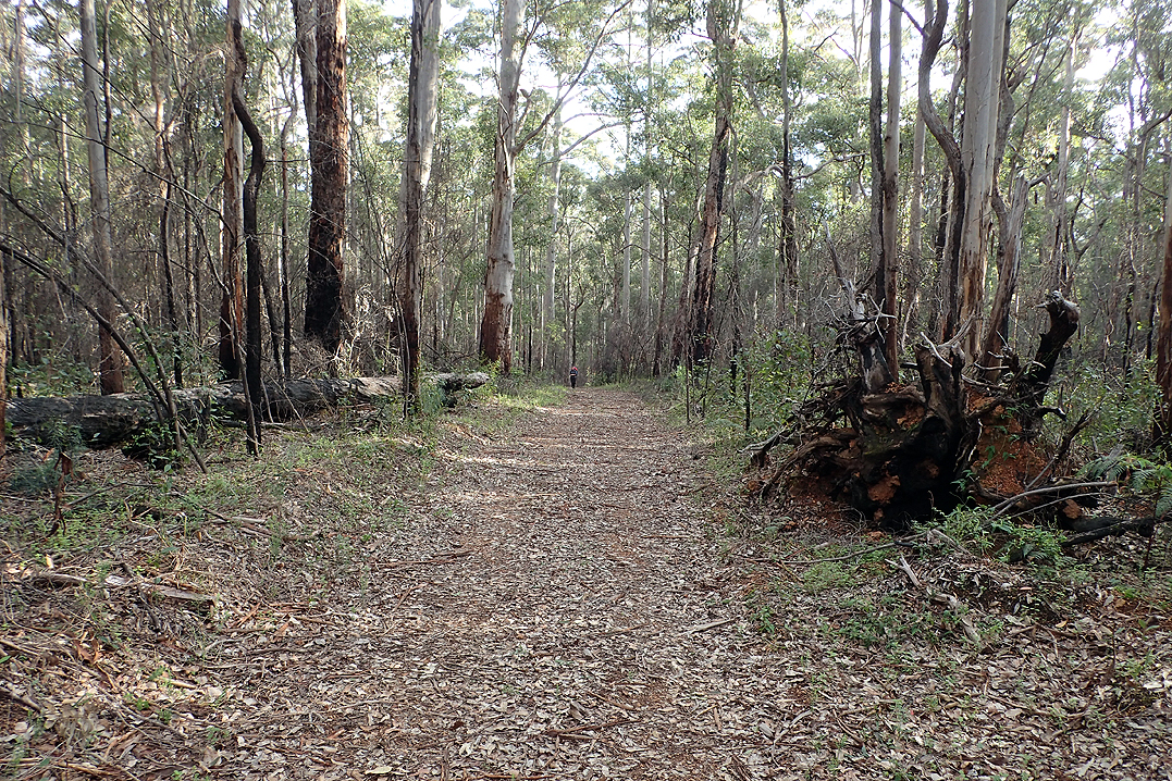
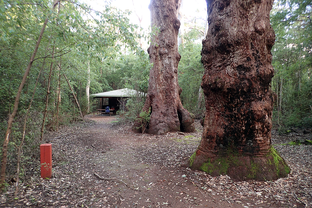
We loved Preston National Park with its old growth forests.
Beautiful walking today, much of it through virgin Jarrah forest and then later on along an old rail trail track. We met a Northbound E2E guy who warned us about the wet trail conditions further south and recommended accommodation in Ballingup. We found overall that the two things went hand in hand; someone told you horror stories about waist deep water, carrying your packs over your head, rats running over you while you slept and in the next breath told you all the B&B’s they had stayed in with hot showers and heaters.
We were looking forward to restocking at Ballingup but struggled to find a good camp spot until quite late. We have found our new foam half-camping mats to be so useful for sitting on when having breaks, they make a nice warm comfy barrier between tushy and log. Anyway, I decided to stand on it barefoot while having a little wash tonight and "whoosh" before I could even react I was arse to the ground, legs out straight in front. Wow - slippery sucker! I had that “Do I laugh or cry moment?".


We had a super early start, the thought of fresh bread calling us I think. The camp spot was quite bushy with grass trees and the log we used last night was sort of behind the tent. Next thing I saw Mike walking up back to the trail with the stove, head torch on. "Hey - where are you off to?" I asked. Turns out he was so disorientated in the dark he was off to find the log in the complete opposite direction! In the end it took us 10min to find the damn log which was only 10m away.
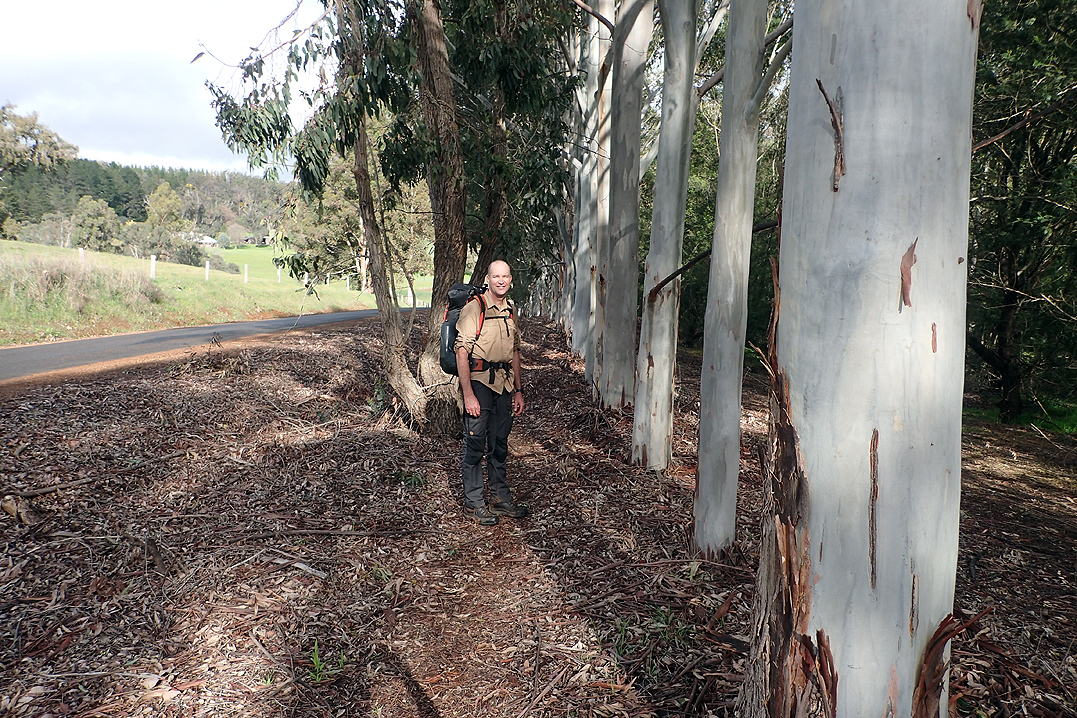
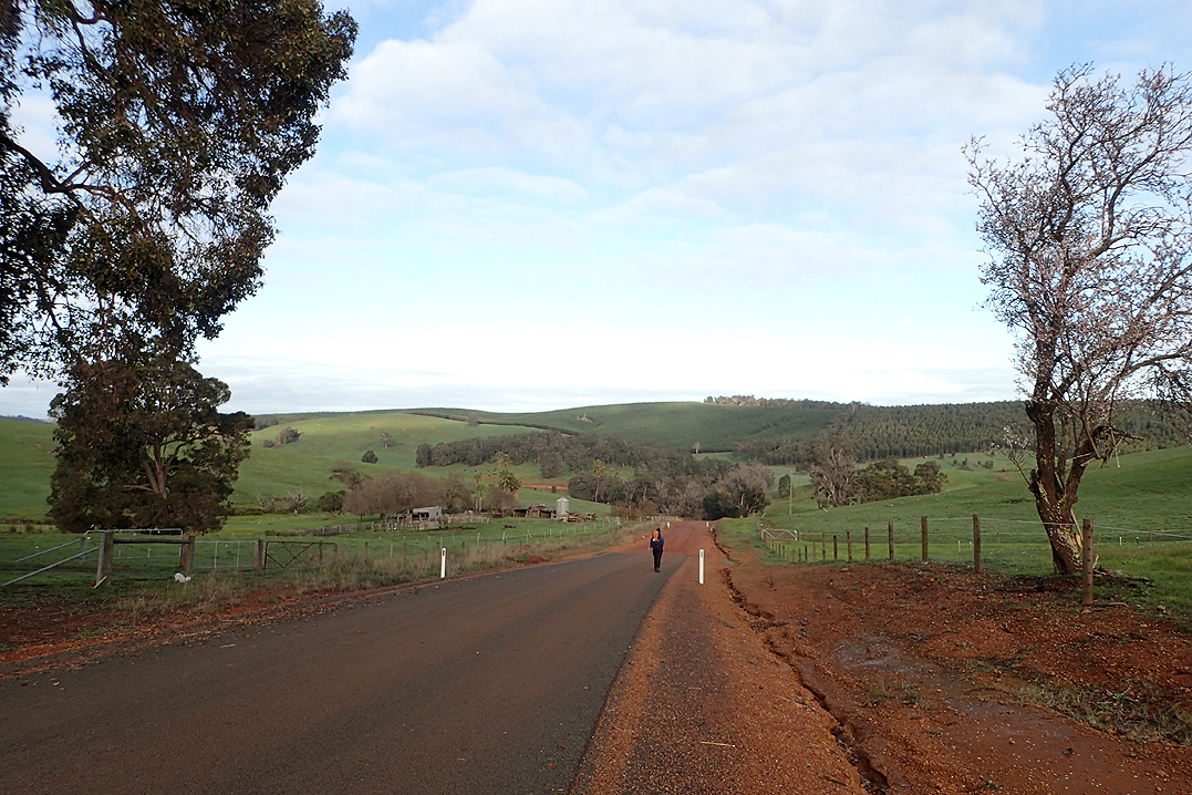
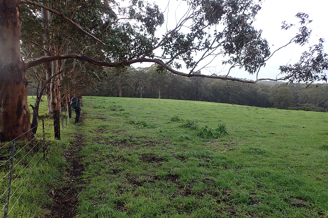
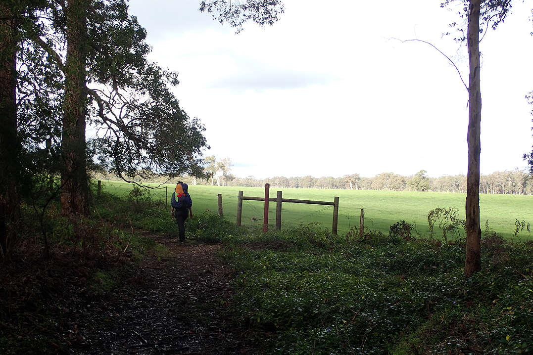
It was a lovely walk into Ballingup, with plenty of flowing streams, pristine farmlands and wildflowers. The village itself was pretty, with a cute municipal campsite and showers just before you arrived on the main street. If we were cycle touring we would have been really impressed with it. Beautiful grassy spot and space for a couple of vans or tents.
We shopped at the general store and then sat at lovely picnic tables and had lunch and coffee. We then set off out of town again. I stopped at the pharmacy (of course) for cream to treat my fungal foot infection. Eeew. After Ballingup there is a wonderful place to walk through called Golden Valley Tree Park. This is an amazing collection of trees, some planted over a 100 years ago, clearly by homesick pioneers as many are English Elms and Oaks etc. You can imagine this place being beautiful at any time of year. Well worth a visit. Ballingup has a very quaint feel to it.
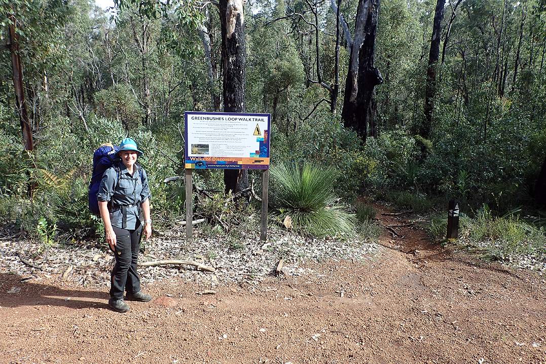
We found a great camp spot along the Greenbushes Trail. This is a day walk that overlaps the Bib and is set in an area of former tin mining. There were some points of interest, one being Mount Jones Dam which was part of the mining operations. It was a very deep swimming spot! We camped the night there.
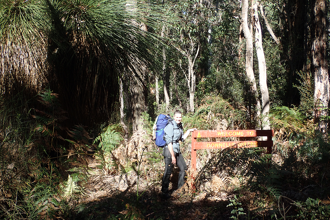
The Bib section Ballingup to Donnelly River Village is twinned with the Bruce Trail in Canada. We took a photo of ourselves at the sign explaining this. It was significant as on our Canadian Cycle Tour 2017 we followed the Bruce Trail quite often along the Niagara Escarpment.


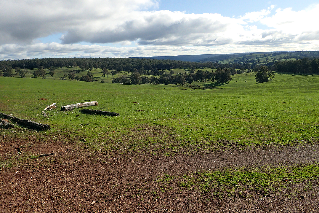
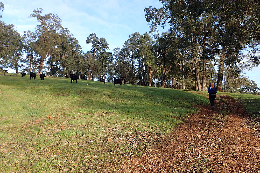
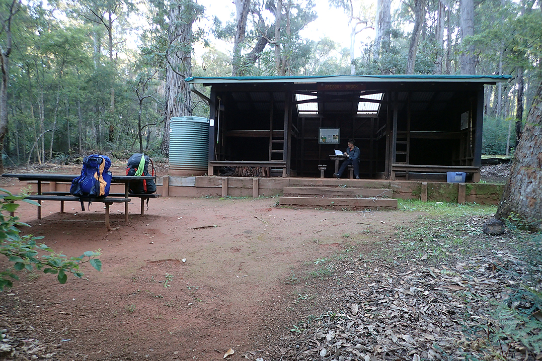
Mike explained how the day would unfold, “Long downhill, big climb up to Blackwood Hut, then steep down to the river, Millstream "Mayhem", then down to Gregory Brook Hut." He was exactly right. The steep down to the road and then up to Blackwood was through beautiful farming country, green fields and cows. One part of the trail was through pastures and the cows were quite inquisitive. Blackwood Hut has spectacular views and had recently had a weekend spruce up with mass plantings all round and new wood chip etc. Mike even took a photo of the dunny as it was the winner with 9 rolls of toilet paper. No one wants to get caught short, right?
Steep down to follow and then a steep up to the Millstream Dam (which we called the Millstream Mayhem). After this Mike saw our first snake on the trail.
It was a pretty tough day and we were happy to get to Gregory Brook Hut. It felt like a while since we had camped at a hut. It had a lovely pool for bathing in.


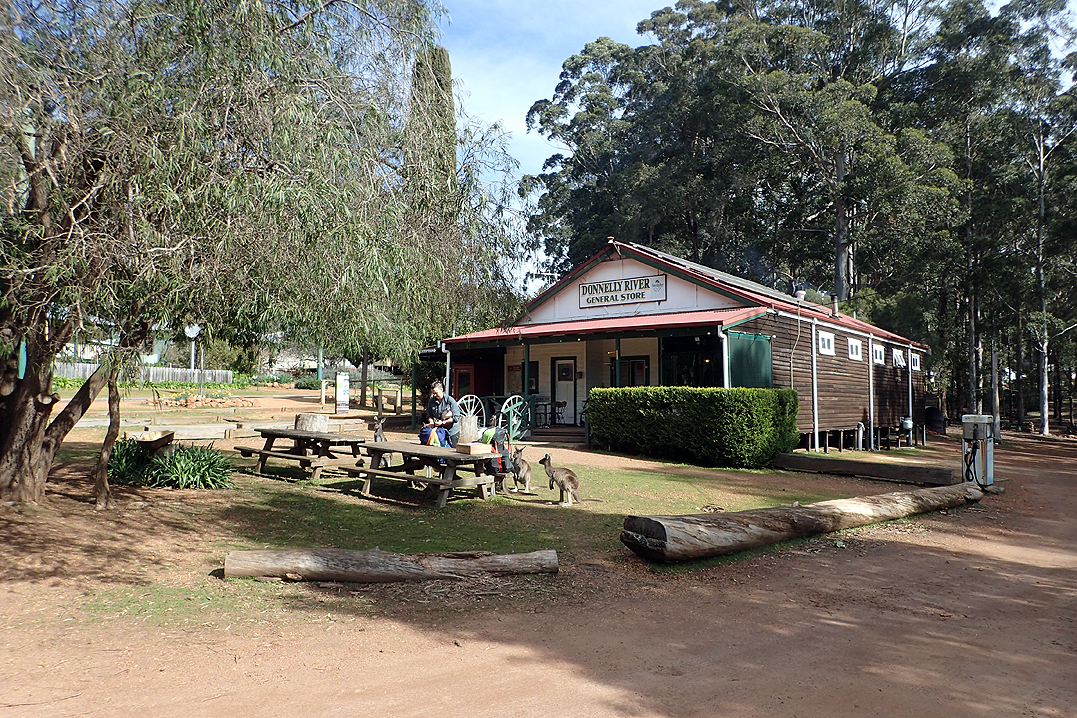
We were so excited to get into Donnelly River Village that we really sped along and then it was pretty disappointing. After Ballingup we were expecting another nice place with a good spot to sit and eat and so on. It is a pretty interesting place. It is an historic timber mill site and we had a food parcel delivered to the general store. The thing which made a bad impression was the crowd of tame kangaroos that made a beeline for you and your hiking pack and sort of sniffed at you to get food and then once you evaded that lot to go try to eat your lunch at the fairly windswept picnic area the horrible emu’s with their big beaks were all over you wanting to peck at you. We packed up and left as soon as possible.
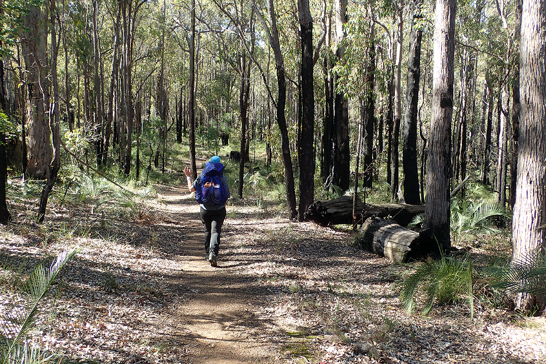
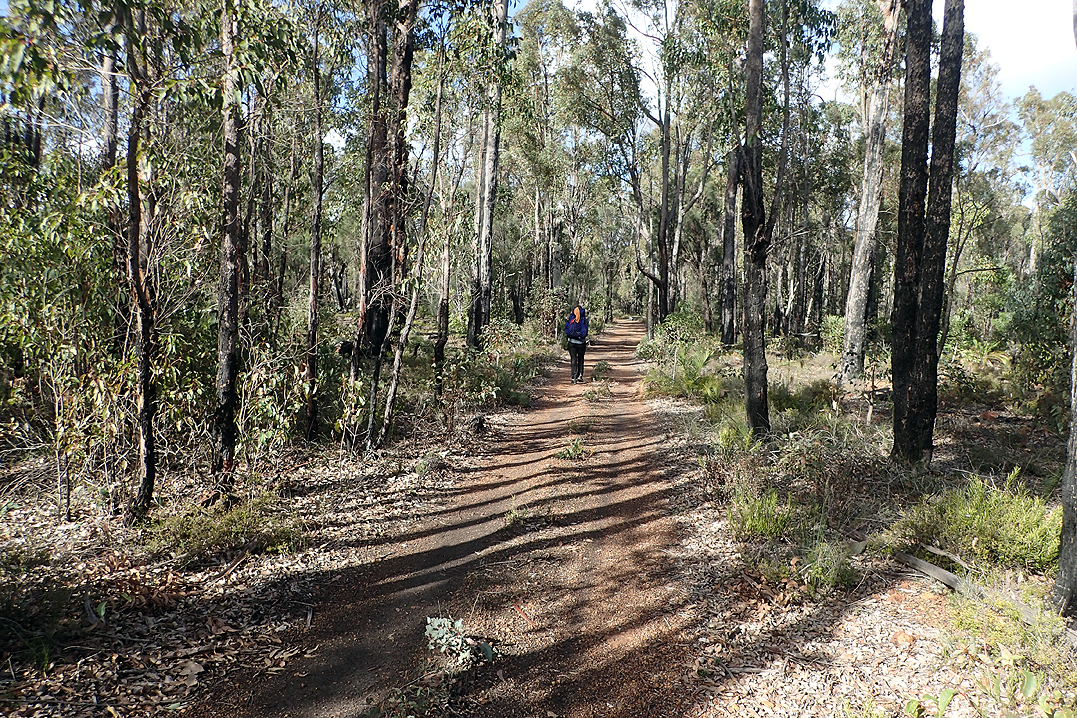
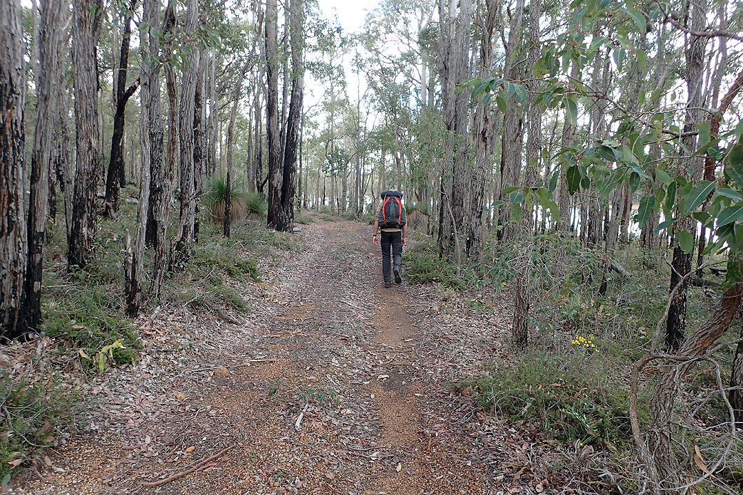
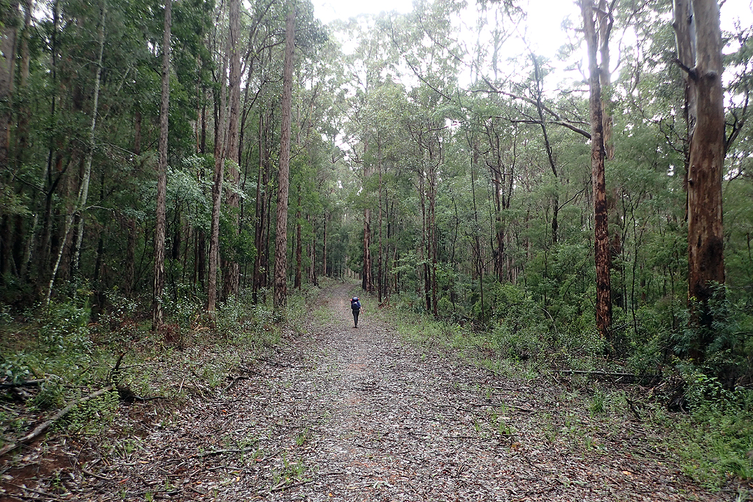
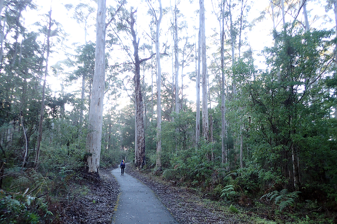
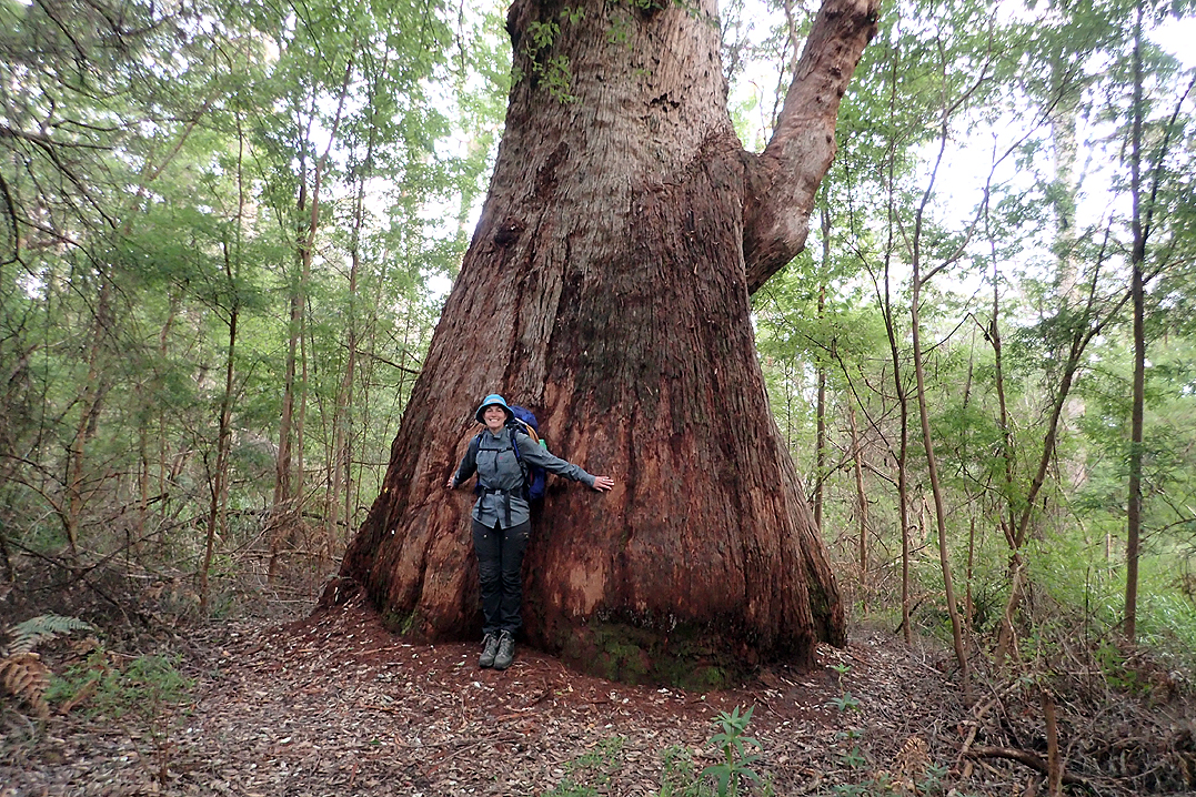
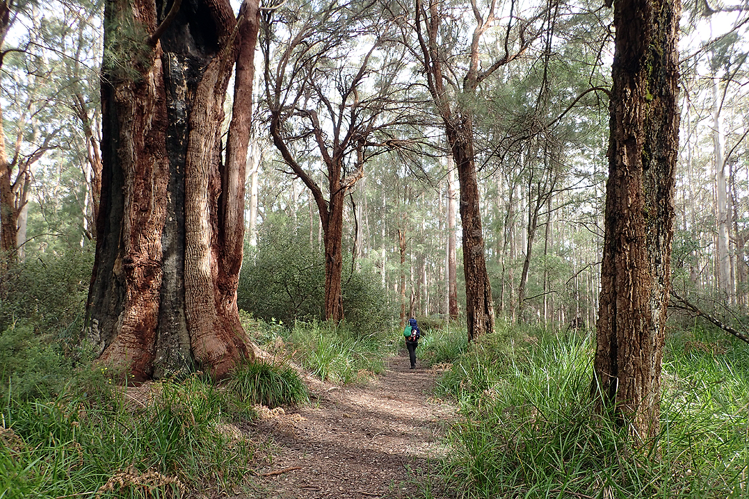
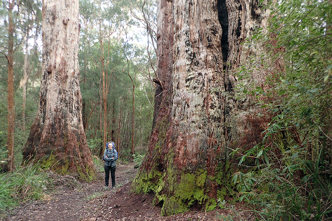
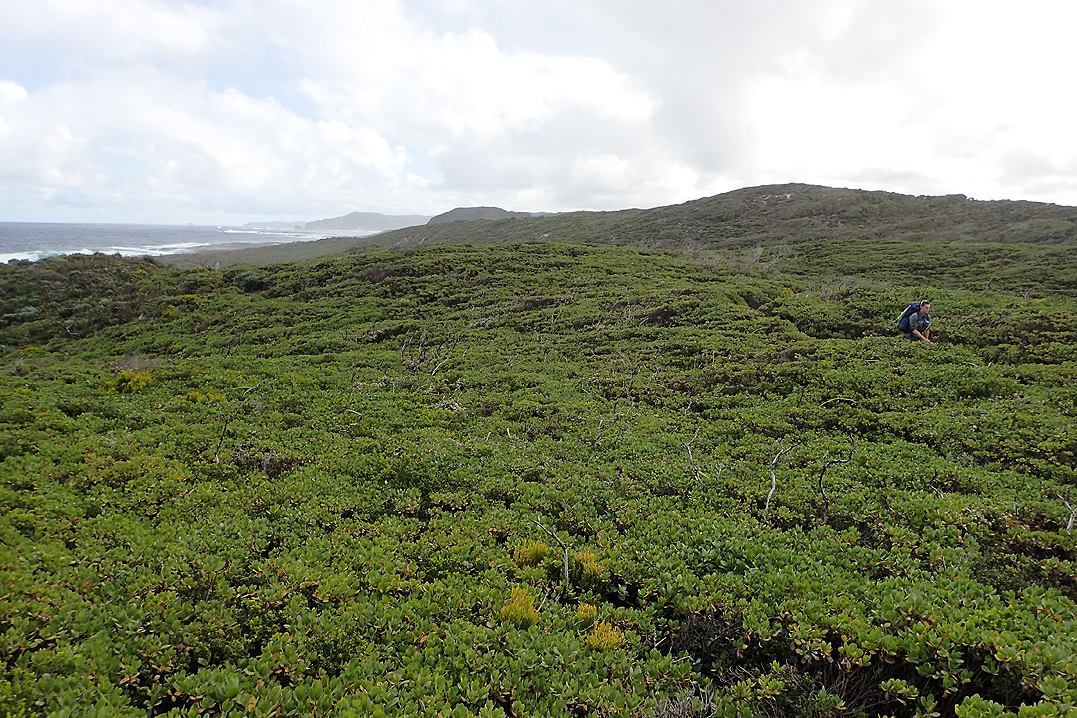
Right out of the village you are in the midst of the most amazing karri forests that go on for days. These trees are huge. They just make you feel completely insignificant. We camped just off the trail right by a causeway where we could have a swim.
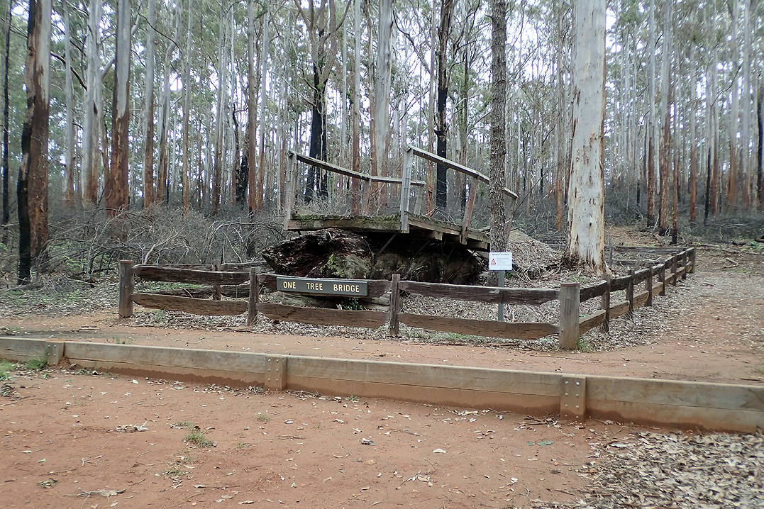
Wonderful day walking amongst these karri giants. We had a few options with where we would end up camping and eventually settled on a spot by the raging Donnelly River just after One Tree Bridge. The river was soon to become our nemesis!

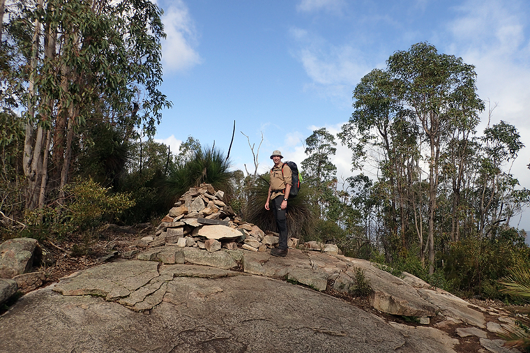
This morning we suddenly came upon the sign indicating we were halfway! The next two days would be tough, unbeknownst to us we had arrived at the "Rollercoaster" which is what people who do their pre-reading on the Bib before doing it, call the continual steep up’s and down’s from here to Pemberton. For us this was made worse by heavy rain which started just after our lunch stop (at Boarding House Hut) and an encounter with a crazy kangaroo who wanted to attack us until Mike showed him who was boss with the help of a large tree branch. Large being relative in this part of the world!
The day was wet and green and steep. The trail wound up and down following the Donnelly River all the way. The river itself was fast flowing and full. We were amazed at the various crossings of the river - one in particular via a MASSIVE felled tree with the one side sliced off to make a bridge. The whole thing just rested on each end bridging the river, complete with hand railings (this is Australia after all!).
We were cold and wet, our feet were finished and there was the post-kangaroo trauma of course, when we hit an almost impossible uphill. We had almost given up hope of finding a campsite. Everywhere was so hemmed in with vegetation. Then all of a sudden the perfect, level and bare camp spot was just there, just off the trail. Mike was first on the scene and from a couple of hundred meters below him, I saw him drop his pack and smile. Highlight of the day! As we got the tent up and hopped in the hail started falling. So happy to call it a day.
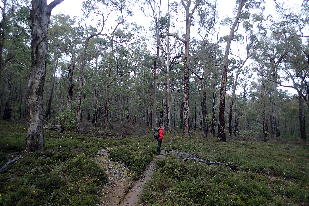
The "Rollercoaster" continued today. Whenever we got to a hut and read the log book comments all the Northbound ones were about the dread and pain of these hills. We reasoned they were the first actual hills the Northbound E2E’ers came across. But we wished they were over too. Overall today’s walking was much easier and sometimes the path was quite a bit wider which we prefer, less claustrophobic.
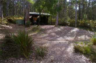
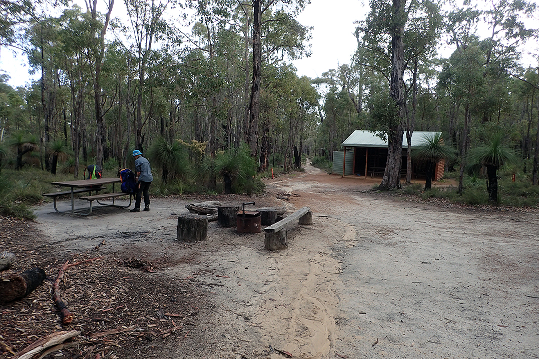
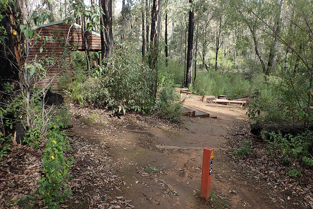
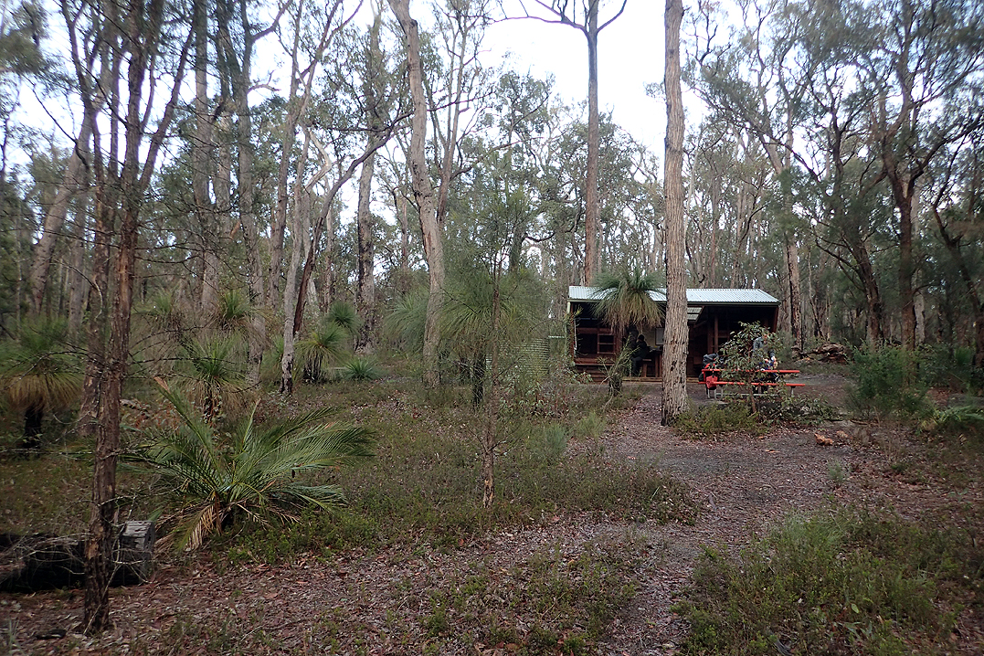
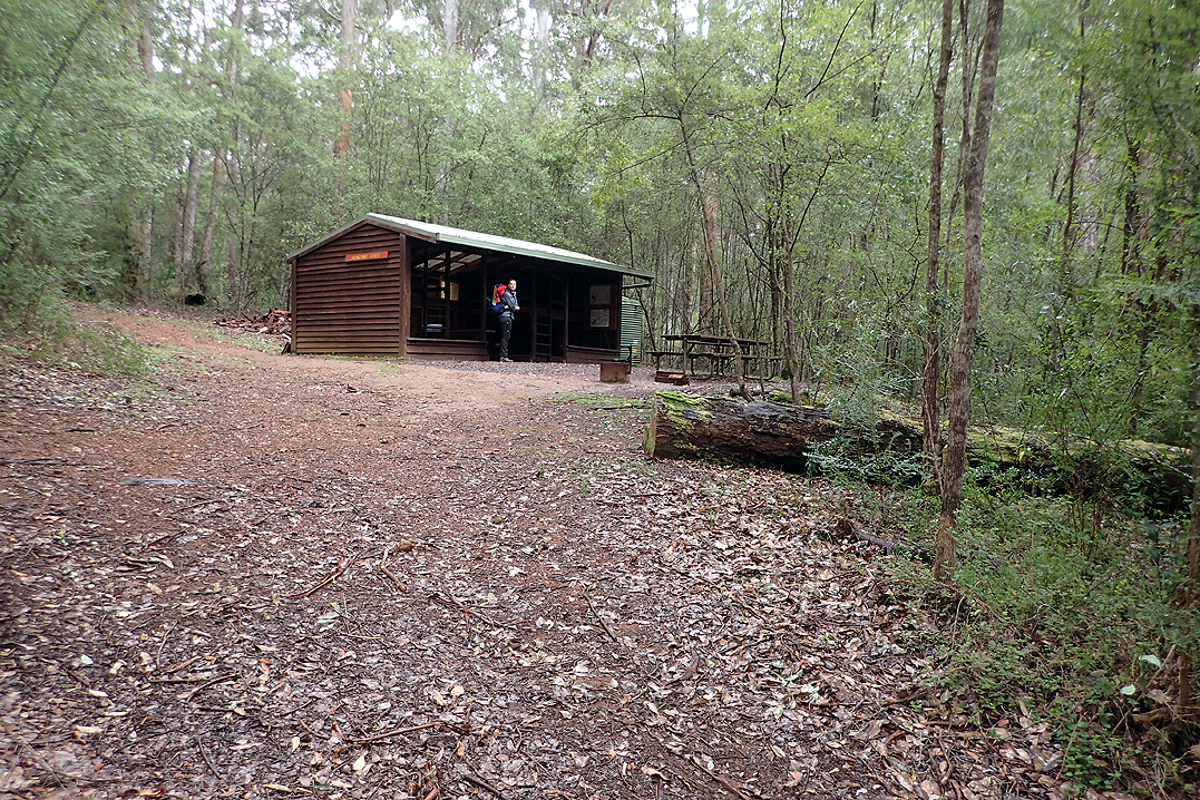
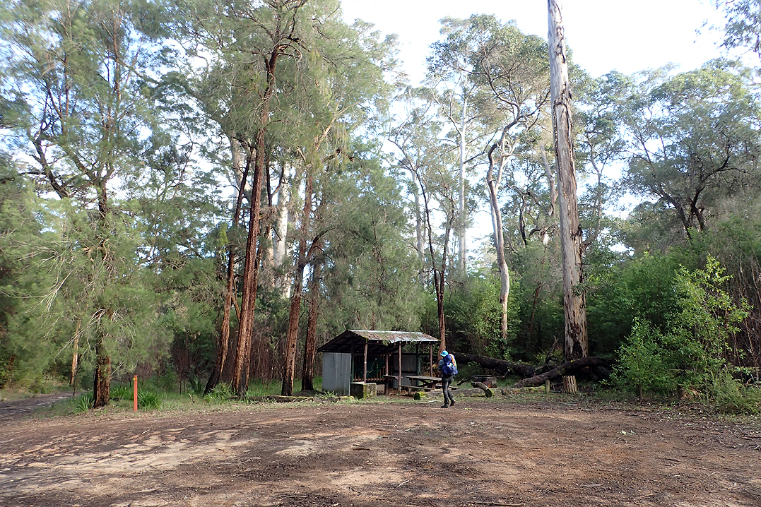
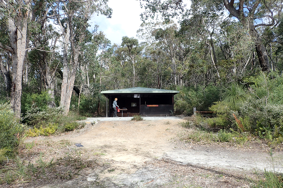
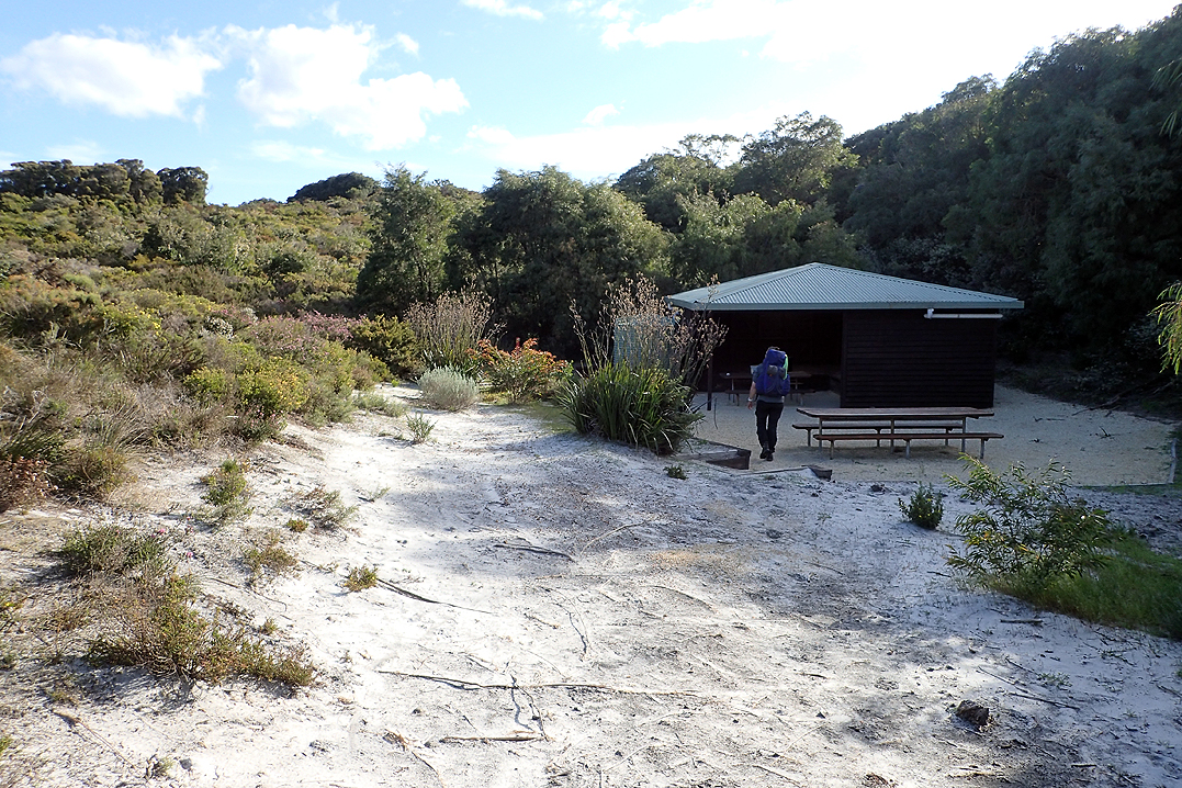
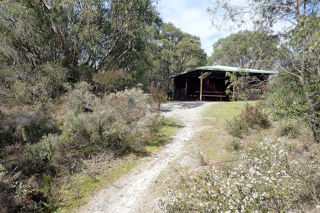
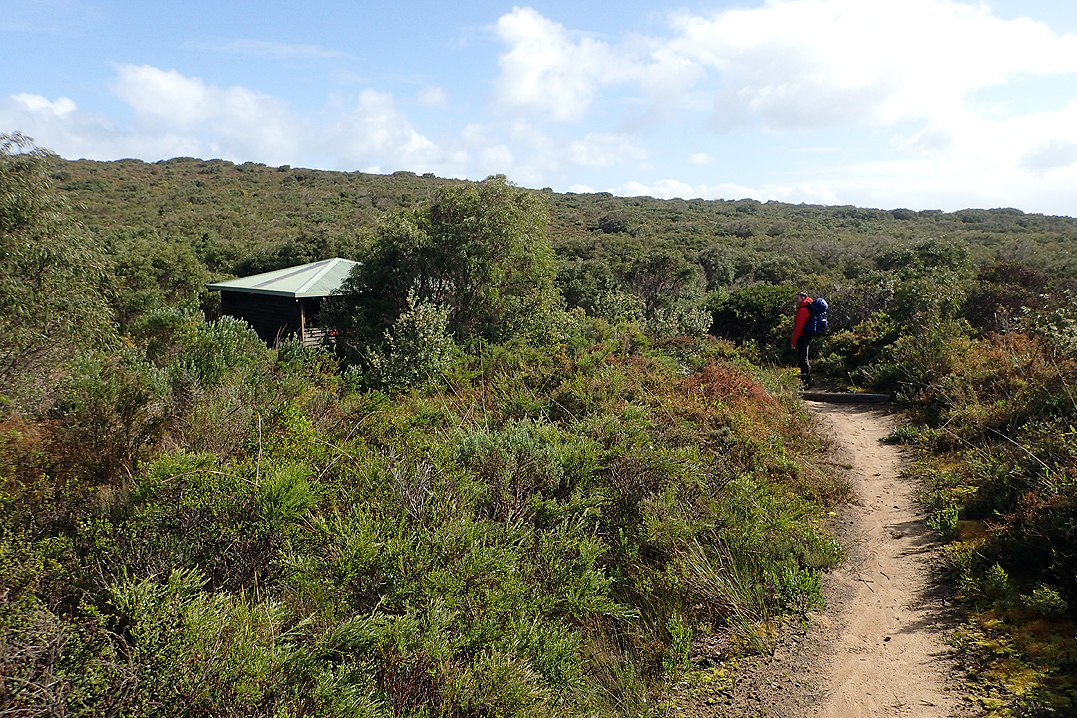
The weather was much better today with clearer spells. Our walking pants had been soaking wet this morning but dried out through the day. Beedelup Falls was a highlight. It has really good infrastructure around it with lovely boardwalks. The hut of the same name comes shortly afterwards. We would camp in a hut tonight for the first time as the weather was expected to be bad overnight. The Bib huts are either an older design with the internal space taken up by bunk beds and a table, or a newer design where they are quite open with a big L-shaped platform and a table undercover. Each time we decided to put up our tent inside the hut it was the latter, which was convenient as we could not have done it in the former. Our tent is freestanding , you just lose the vestibules if you set up inside, which doesn't matter as we hang our packs anyway due to rodents in the shelters. The rodents are usually water rats, so not the gross urban variety. Still, I don’t want one running over my head in the middle of the night, so we put our tent up. Having said that, if there was another hiker at the hut we would have pitched the tent outside. We don’t think it is right to use the tent in the hut if you are sharing.
It did pour all night, so we were pleased with our decision. The metal and plastic hut roof probably amplified the sound of the rain.


It was still a pretty rainy day today. We had a shorter day than normal into Pemberton. We could not believe that we had walked for 24 days without a day off. We still did not really feel that fatigued, but our feet were another story. We just did not know how far we could push our feet. We certainly did not have blisters or anything like that, but for the first 30min after putting our boots on in the morning our feet felt really swollen. Also we both had some numb areas under our feet. That can’t be good, can it? So we more or less decided to have a rest day in Pemberton.
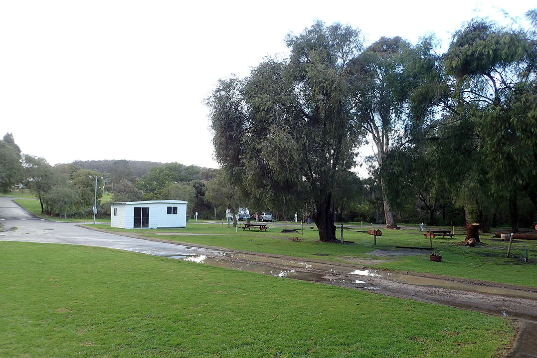
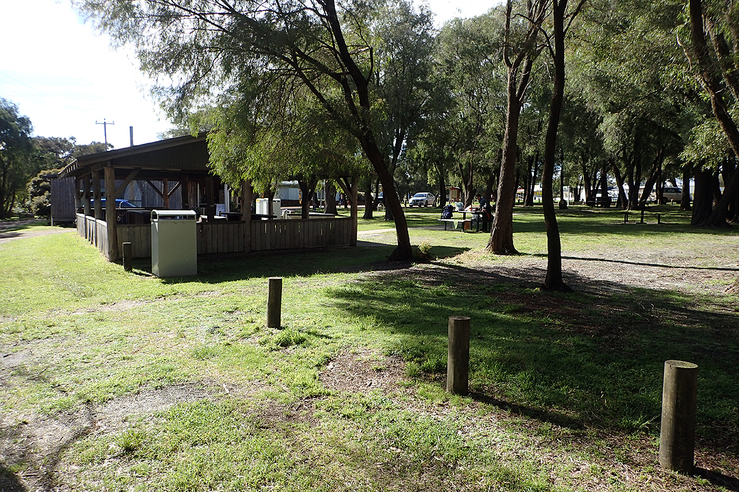
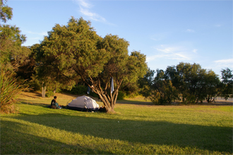
The walk into Pemberton was easy and quite varied and we arrived through the "backdoor" as usual. We were standing on the wrong side of a waterway opposite the campsite and of course had to walk all the way round to get to it. At first glance we weren’t sure about the campsite. It seemed like an old municipal site but all the fittings were quite new. It also looked quite flooded in parts. We walked past an old white demountable to get to the office. The office was unattended but when I phoned the manager arrived in a few minutes. It was $25 per night to camp and he offered us the little white demountable for the same price! Winner. It was only a concrete floor and the door did not lock, but who cares? Roof over the head! We walked into town only once and did all our shopping for the section to Northcliffe, plus get our food for the rest day tomorrow. We had hot showers, did the laundry and made maximum use of the camper’s kitchen. So it turned out to be the perfect place for our only rest day of the trip.
The only weird thing was that as I was falling asleep on the second night someone walked passed the little chalet and shone their torch through the window at me in my sleeping bag. I got such a fright as I thought they were in the building! Weirdo.
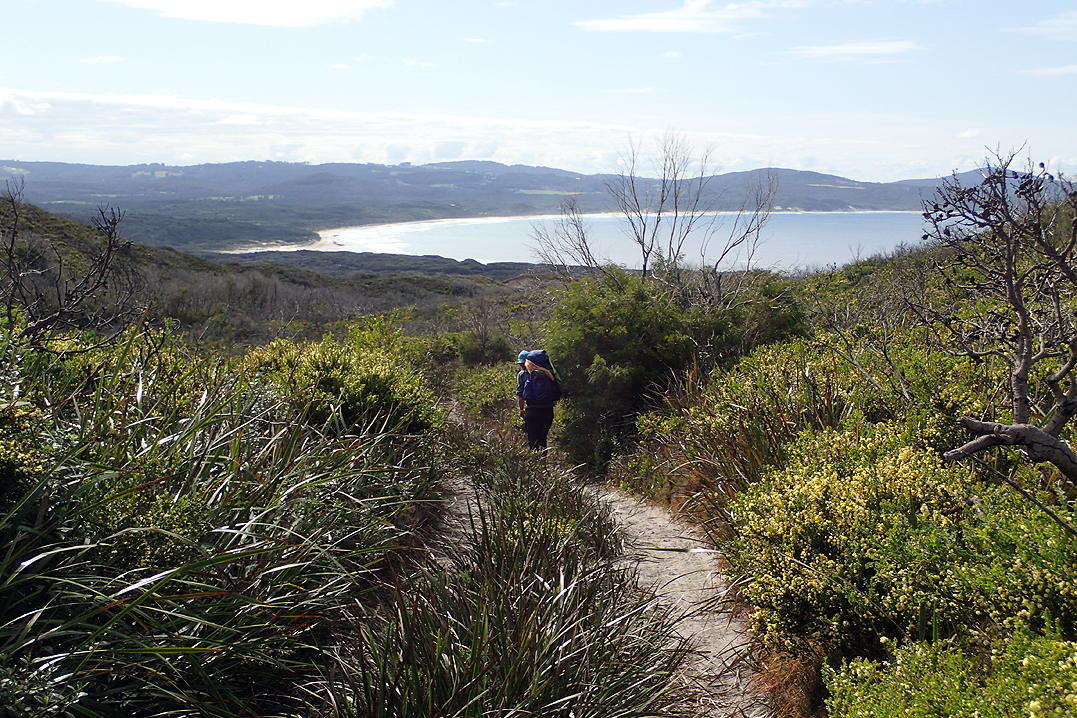
The walk from Pemberton to Northcliffe is one we had done before (way back in 2006). This year we managed to re-visit both our previous campsites which was quite cool! It was two nights from Pemberton to Northcliffe and the weather was good again. Our first camp spot was right on a ford in the river, so an easy swim.

It was less than a 1km walk to Warren Hut and we were there early enough to wake two of the three hikers who had overnighted there. There was a couple, Kayla and Jake and a solo walker, Kade. We would meet Kayla and Jake a few times more on the walk. At this time they had driven to Pemberton and were walking to Northcliffe and would then take the bus back to Pemberton. Kade was getting back into walking after leaving his Southbound E2E at Donnelly River Village. His plan was to take the bus from Northcliffe to Denmark, from where he would walk into Albany with the walking partner he started the hike with, and then walk back Northwards, filling in the sections he had missed.
Although Schafer Hut is wonderful, situated on a lovely swimming lake, we wanted to end up closer to Northcliffe and so we hiked as far as we could to the farmlands and then camped on the path. This was also exactly where we had camped last time! Deja vu.
Just as we were packing up to leave, two walkers came towards us from Schafer direction, Kayla and Jake, an early start to catch their bus. On our way we had some flooded paths to negotiate (if only we knew what was to come!) and passed a dairy farm where we saw a three day old calf in the pasture with its mother. The dairy farmer, driving along in your typical farmer Land Rover as old as me with side mirrors abandoned or attached with an old leather belt, stopped to have a yarn. 30 minutes later we got going again! So interesting though, he told us that WA milk is actually the best quality in the world. We agree.
We did not have a food parcel delivered to Northcliffe but they have an excellent store where you can get anything you need and pay the price for it. We sat down at a shelter to eat and chatted to Kayla and Jake again. They were planning to spend some more time in the South West.
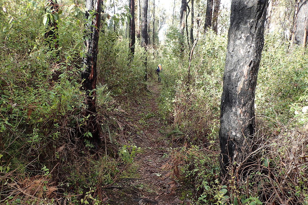
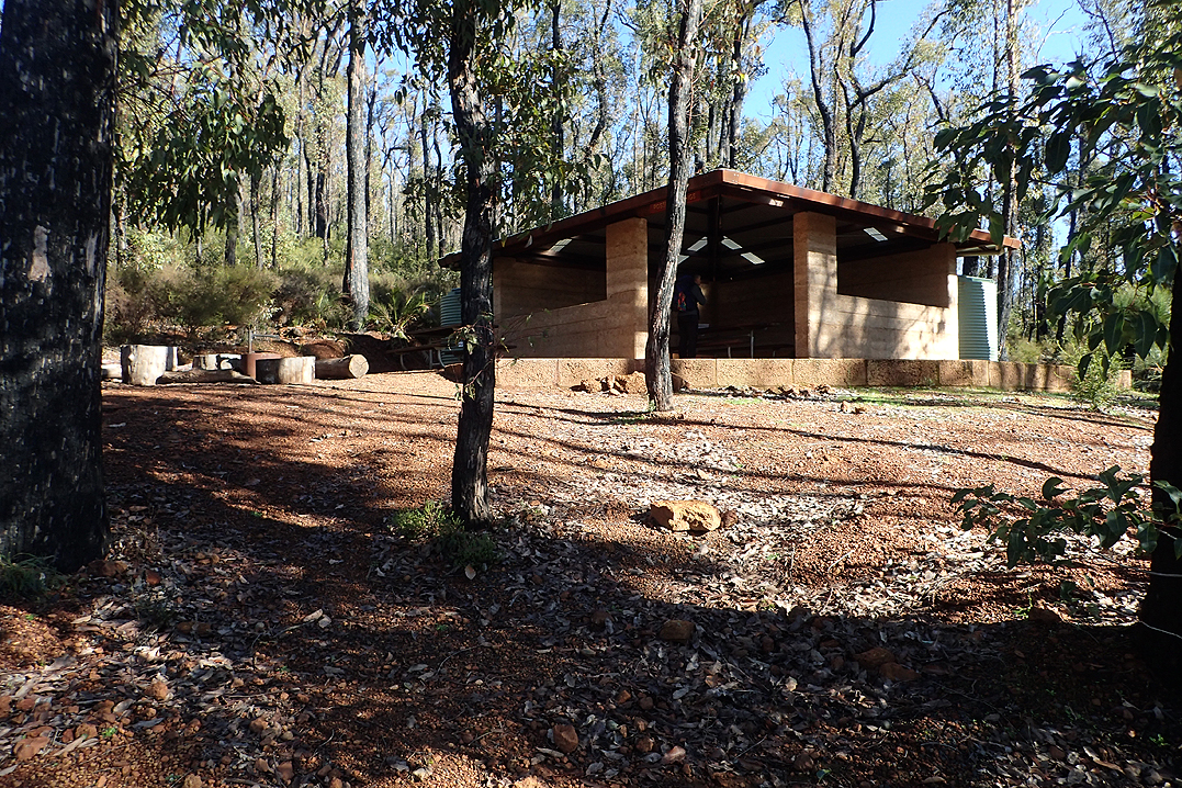
The walking after Northcliffe proved quite difficult. We did not really know why, may have been that lately the walking had been easy and the packs light. Northcliff to Walpole section is 6 nights so that is a lot of food to carry. We decided to use Gardner Hut to camp as bad weather was forecast for the night. This was a newer rammed earth hut which we really like. We pitched our tent in the hut again. We were alone.
It rained heavily and continued more gently in the morning. We were excited to try out our "rain skirts" which were just very large garbage bin bags that you can almost wrap around your waist and then fasten your pack belt over. Keeping the rain off the front of our upper legs kept us much drier. As your hiking pack protects your back and back of your legs from rain, there doesn’t seem much point to wear rain paints and we did not bring any.
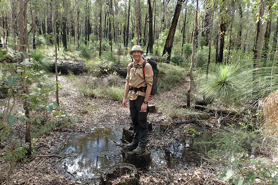
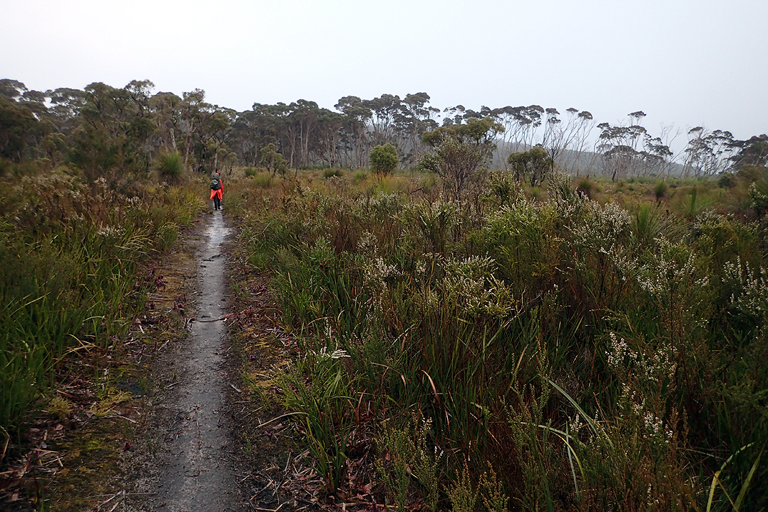
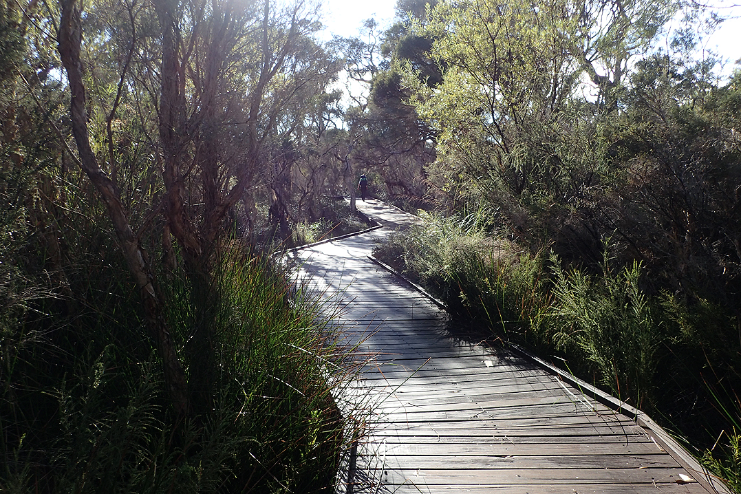
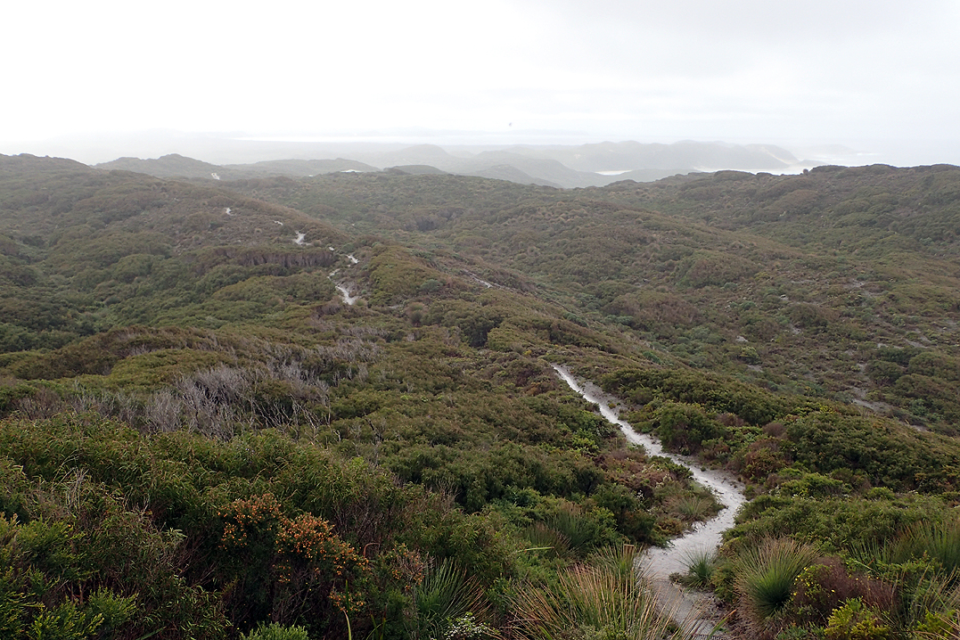
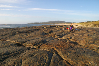
Today's walk introduced us to wading through puddles! The path was often inundated by multiple pools which were difficult to get around and deep enough to require the removal of boots, socks and pants. Luckily this entire section is across sandy plains so it is comfortable under foot, especially when you can’t see the bottom through whiskey-coloured water. The water was usually cold and the pools were full of tadpoles. The frog chorus is the sound of this section, it never leaves you, from the sentinel frog who waits by the path and emits a warning to the rest, to the sound of hundreds croaking together. Day and night. The track passes through the beautiful D'Entrecasteaux National Park.
At the turn off to the Lake the diversion route marker along an unsealed road was uncovered so we were not sure what that meant. Were we supposed to take the diversion? Or could we still reach the hut? We were thinking that the route to the lake could be flooded. We are worried about this section as on our map there were no warnings about seasonal inundations as there were further on through this section. We had met people who told us scary stories about the crossing of the Pingerup Plains. Usually they entailed phrases such as "waist deep water" or "chest deep water". At which point the bloke telling you this would hold his hands along a line about chest height for emphasis. We decided to follow the route as normal and hoped for the best. It was fine and the hut by the lake as well as the lake were beautiful. I arrived with my pants off as somewhere during the day I had grown tired of putting my pants, socks and boots back on after wading so I just left my pants off.
We had route options on the day as you could actually abandon the trail completely and use unsealed roads which would not add on distance. The track and roads run parallel but the roads are not subjected to the same levels of inundation as the track. There was a section where we chose the road, but the track is so beautiful here and the scenery of the Pingerup Plains is exquisite, so we put up with the wading. We were still stopping a lot to take our boots off which is a pain as you have to dry your feet properly afterwards and get all the sand off before putting your boots on. It is very time consuming. We were also becoming a bit more gung ho and where possible just legging it boots and all where the puddles seemed shallower. Walking the puddles barefoot could result in very cold feet, especially if they went off for a few 100m or there were multiple puddles.
Reading through the entries in the Dog Pool Hut book, it seemed the hut was inhabited by ravenous rodents. They would chew holes in your pack or tent indiscriminately, no matter if you hung your pack and food separately. Previously if we used a hut we would hang our packs with everything inside, keeping everything out of the tent. Copping a holes in a pack pocket is one thing, but a holes in a tent spells "Death to Rodents". The hut is on a beautiful spot on the Shannon River with a long bridge over to the road on the other side, so we thought we would just pitch our tent on the path over the river and totally outsmart the buggers. In the morning we woke up to a hole chewed through one of Mike’s pack side pockets. He had left four nut bars in there. The rat chewed through the fabric, got into the wrapper and ate an entire bar, leaving the other three behind. You had to praise him for not being a glutton. Especially since on this section we ended up being a little light on snacks.

We managed not to take the rat incident too personally, everything has to eat right? Instead we went back on the trail and into the water. The first part of the day was a long section along an unsealed road which many hikers complain about but we found it beautiful. It is such a privilege to hike through these national parks, many of which I had never heard, like Shannon National Park.
We had lots of inundated track to contend with today and had our main meal at Mnt Chance Hut. The Northbound walkers all warned about a waist deep pool of water before Woolbales Hut which we would reach tomorrow. Happy days! Our boots were doing well considering! Our feet, that’s another story! We found a good dome rock to camp on again.

There was a hiker in front of us with a track name of Shoots. He had a walking partner earlier who had had to leave the track and go back to work. As conditions were so wet and the track was sandy it was easy to discern footprints. We worked out which footprints were his and it was somehow a nice feeling to be following them through the puddles. Following in his footsteps made us feel we weren’t the only crazies out there! Apart from Shoots’ footprints, the wonderful scent of Boronia’s which had started to bloom along the puddle edges carried us through.
In trying to get around the deep pool of water that we were warned about (which was actually a river so a bridge might come in handy there) by clambering over reeds, I slipped and overtopped one boot so now that was full of water which is never a good feeling! I started feeling a bit depressed as I was dealing with the fungus foot anyway and now my feet were in water all day. How was this going to end? Nothing for it but to keep going. I was thinking that had we known the extent of this water I might have mailed water shoes to Northcliffe, but surely you can’t just have wet feet for 4 days? Can’t be comfortable. We went through all levels of "hacked off-ness". The thing was though, the Pingerup Plains were beautiful, there was no denying, and easy walking, the sky was blue and wet feet were not the end of the world. We struggled to maintain perspective as we approached Woolbales Hut and endured about 300m of water. Longest puddle in the history of our Bibbulmun. By now we had worked out how to tell the age of the puddles - if the tadpoles are growing legs, the puddles have been there a while!
We had our main meal at Woolbales Hut and were joined by Northbound E2E’der, John. First thing we asked was how flooded the track was. It was going to get better for us. We felt a bit sorry for John and the four days of water he would be wading through. He came well equipped for it through with shoes with removable neoprene inners.
We had a wonderful dome campsite again tonight which was in an area littered with massive boulders. It was cathedral-like.

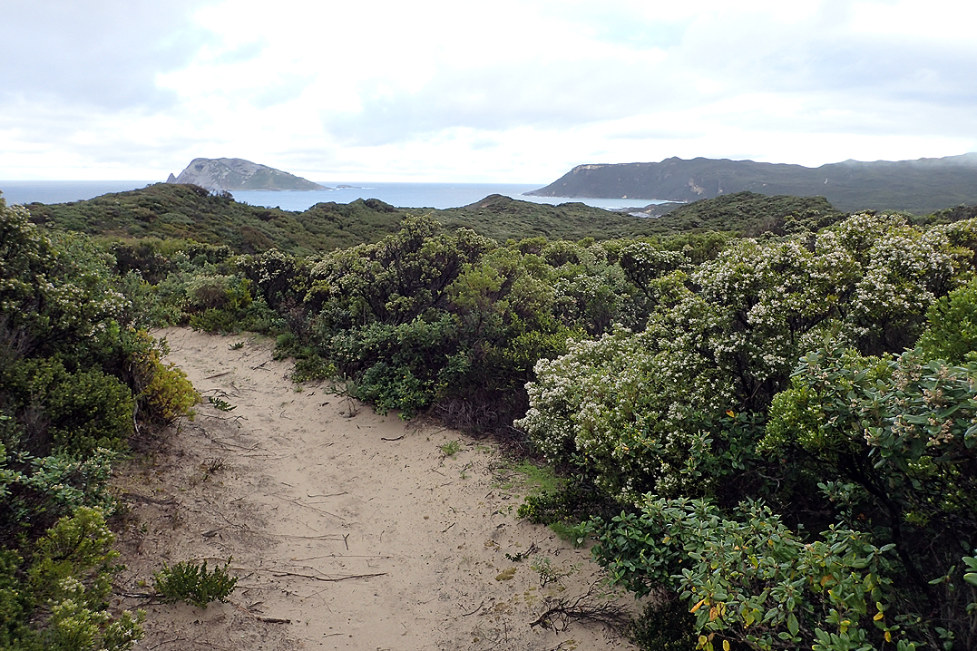
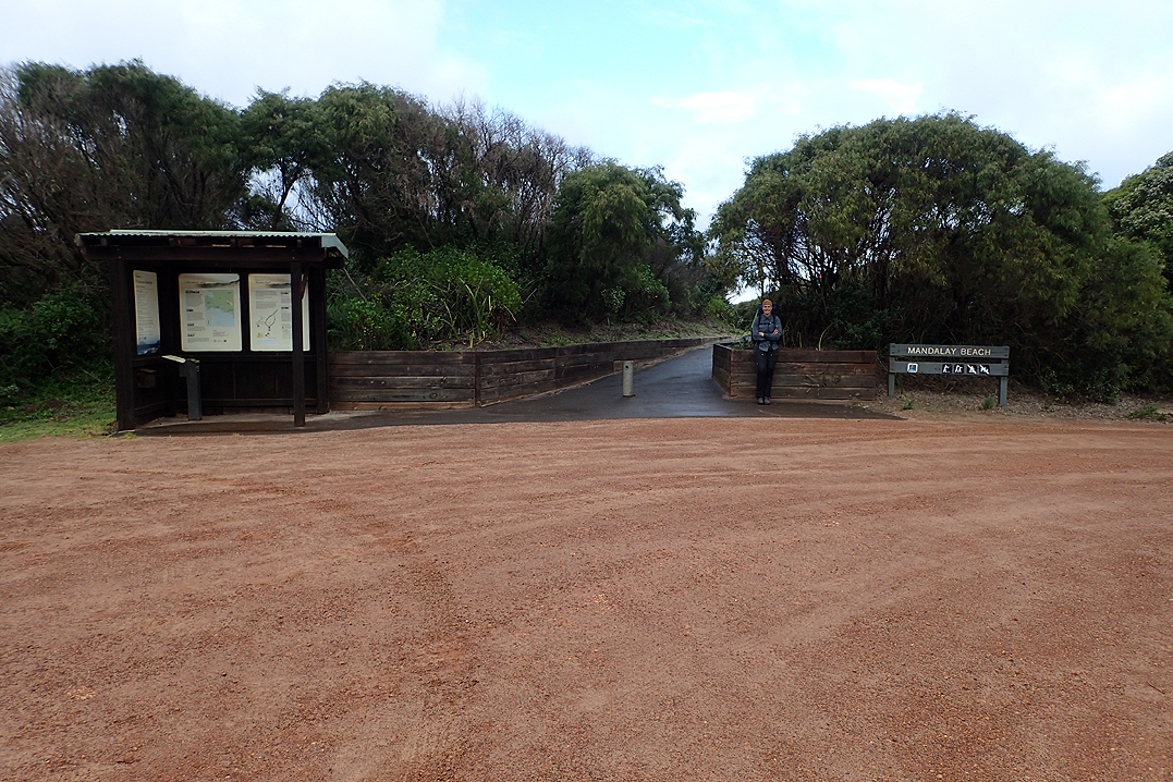
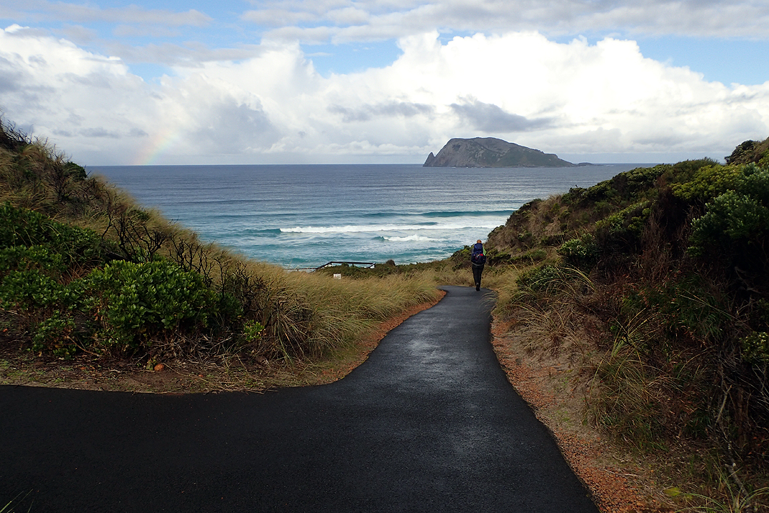
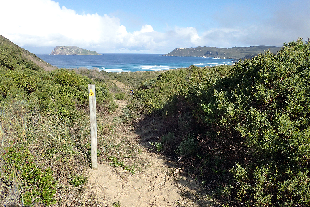
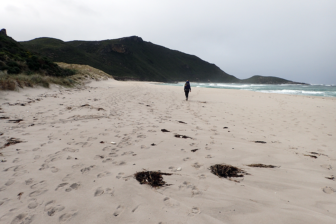
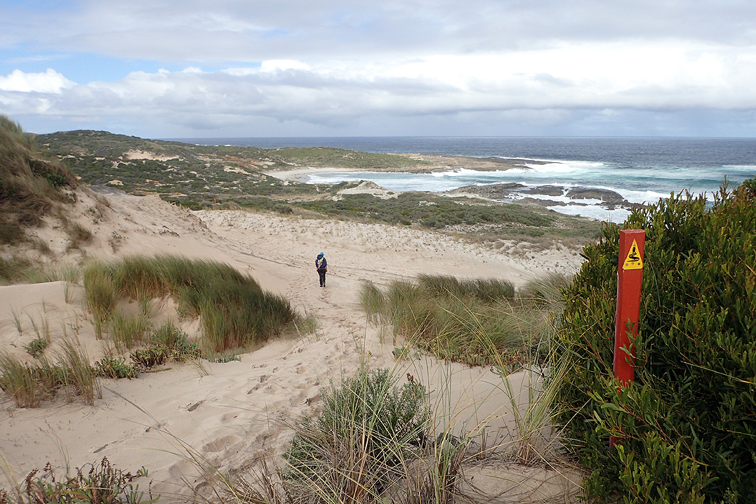
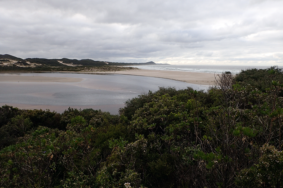
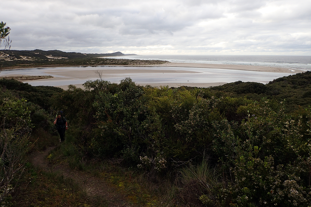
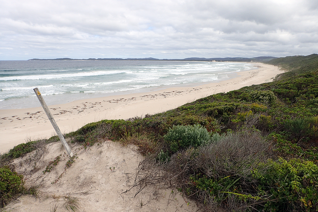
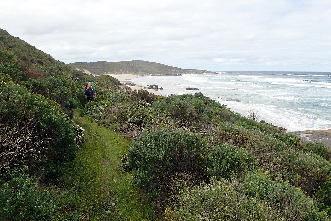
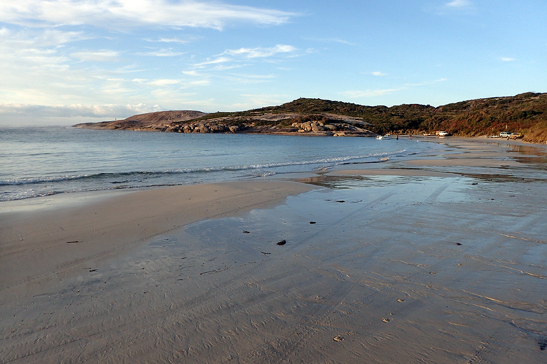
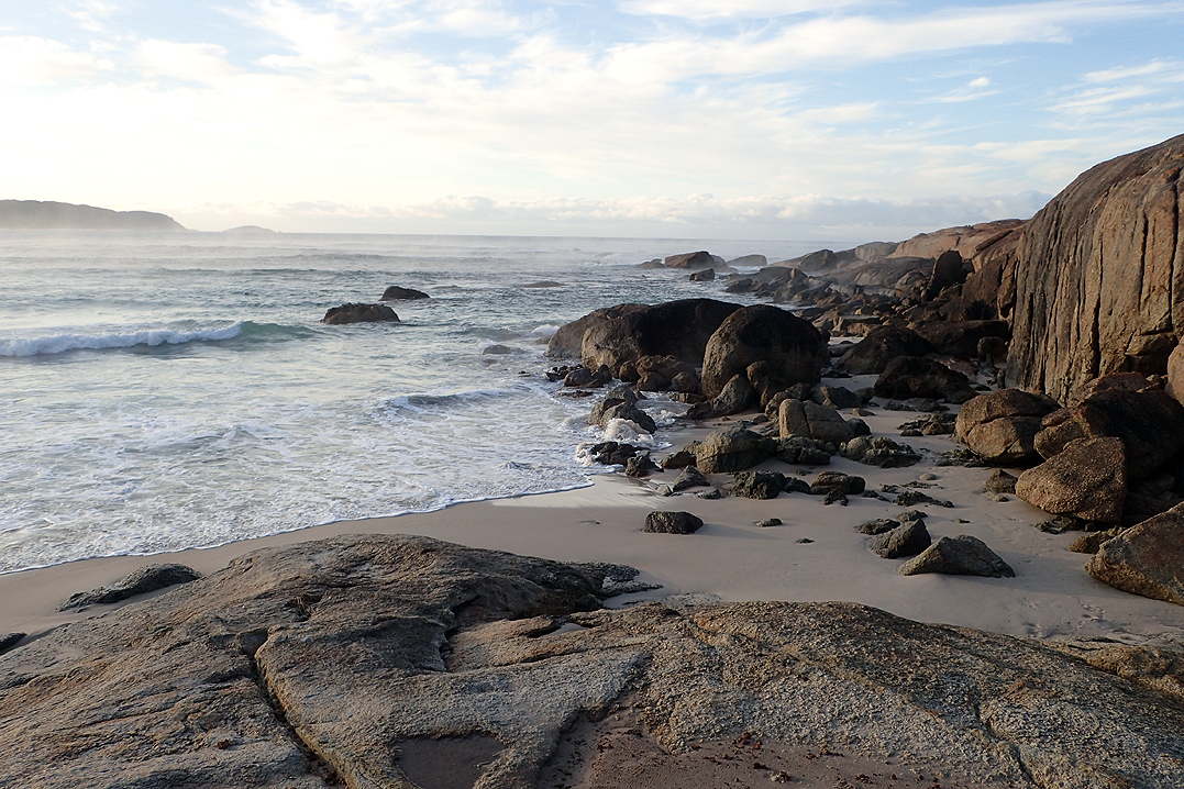
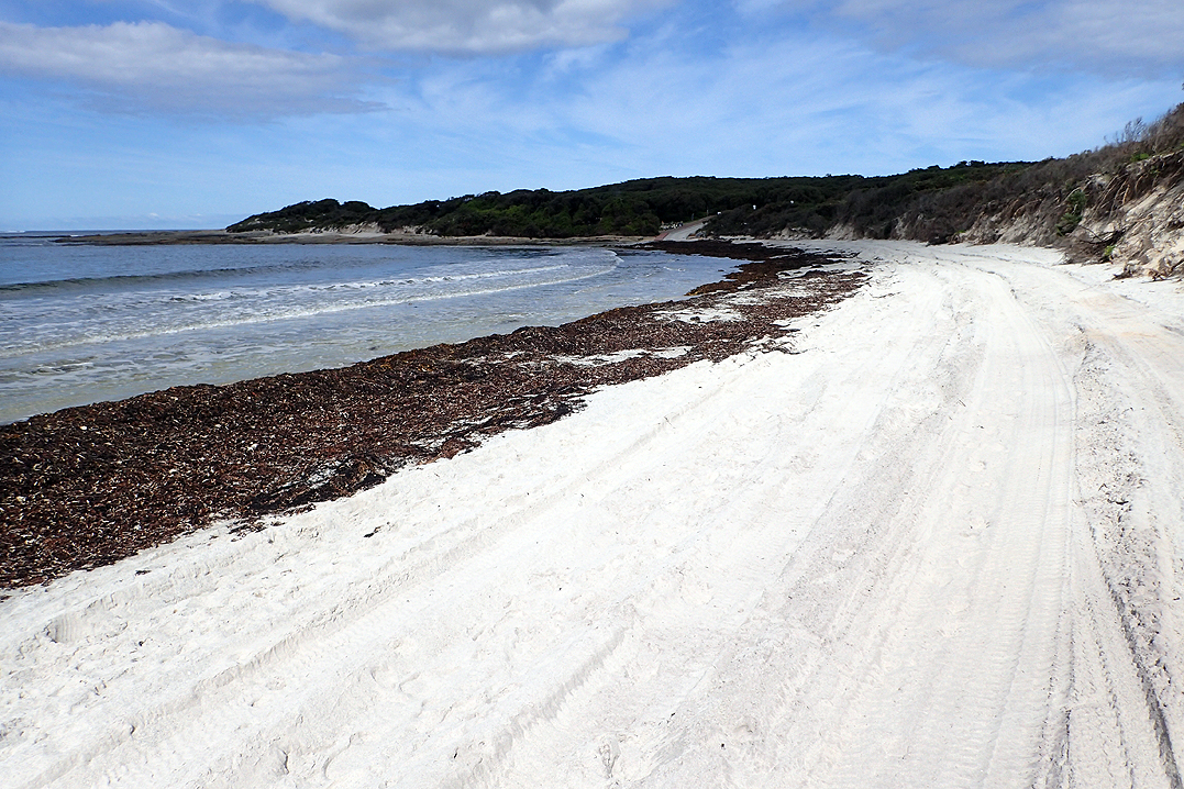
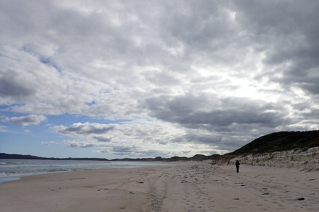
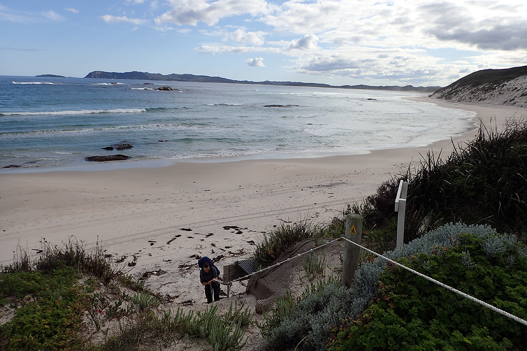
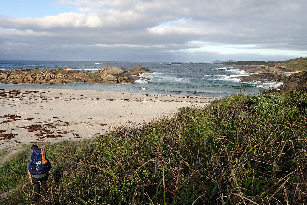
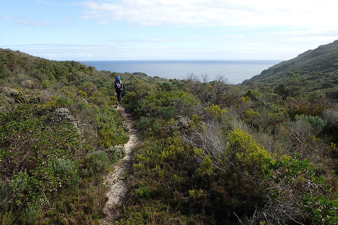
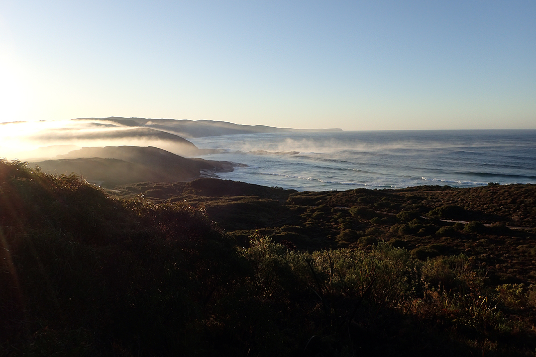
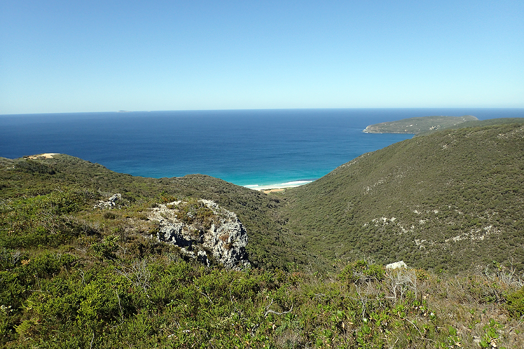
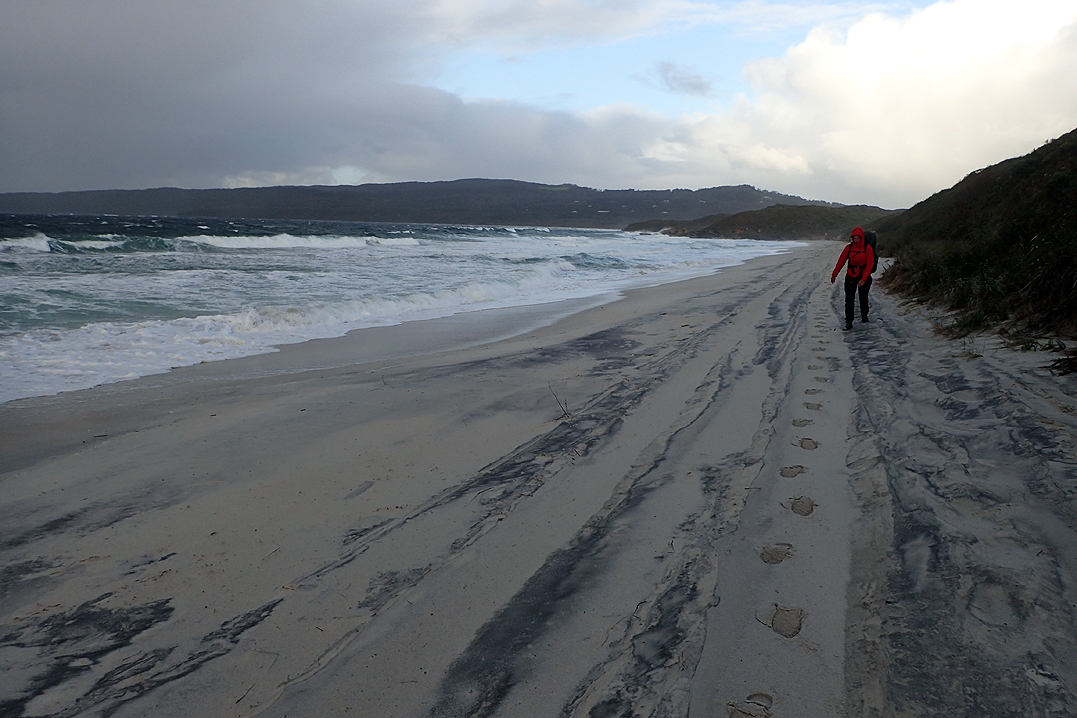
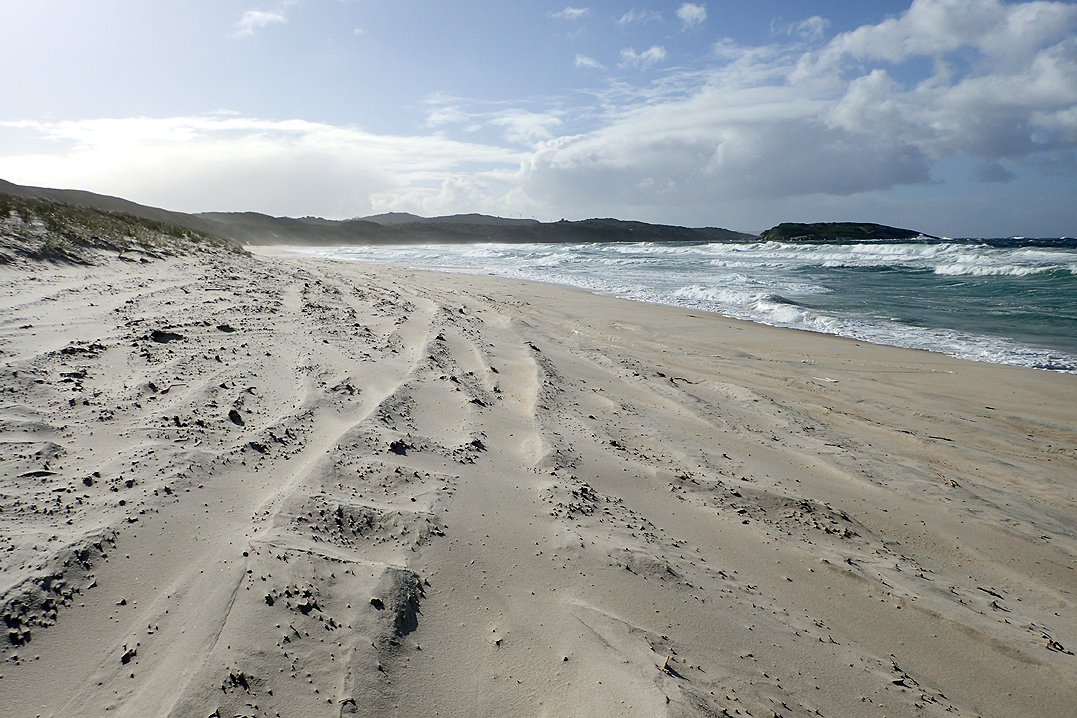
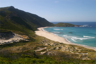
It was a big day for us as we would see the sea for the first time on the trip and we were pretty excited. There were still puddles, but John was right, it was much easier to get around them or through them. I started my day with my feet inside plastic packets and this worked to dry out my boots! Also, all those puddles actually cured my fungus foot completely. Must have been too cold. While all this was going on, Mike was using his leather boots like wellington’s and his feet remained dry. We said goodbye to the Pingerup Plains with their puddles, frogs, tadpoles, boronia-scented beauty and hit Mandalay Beach. Marvellous!
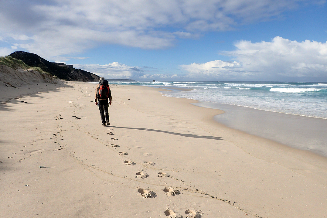
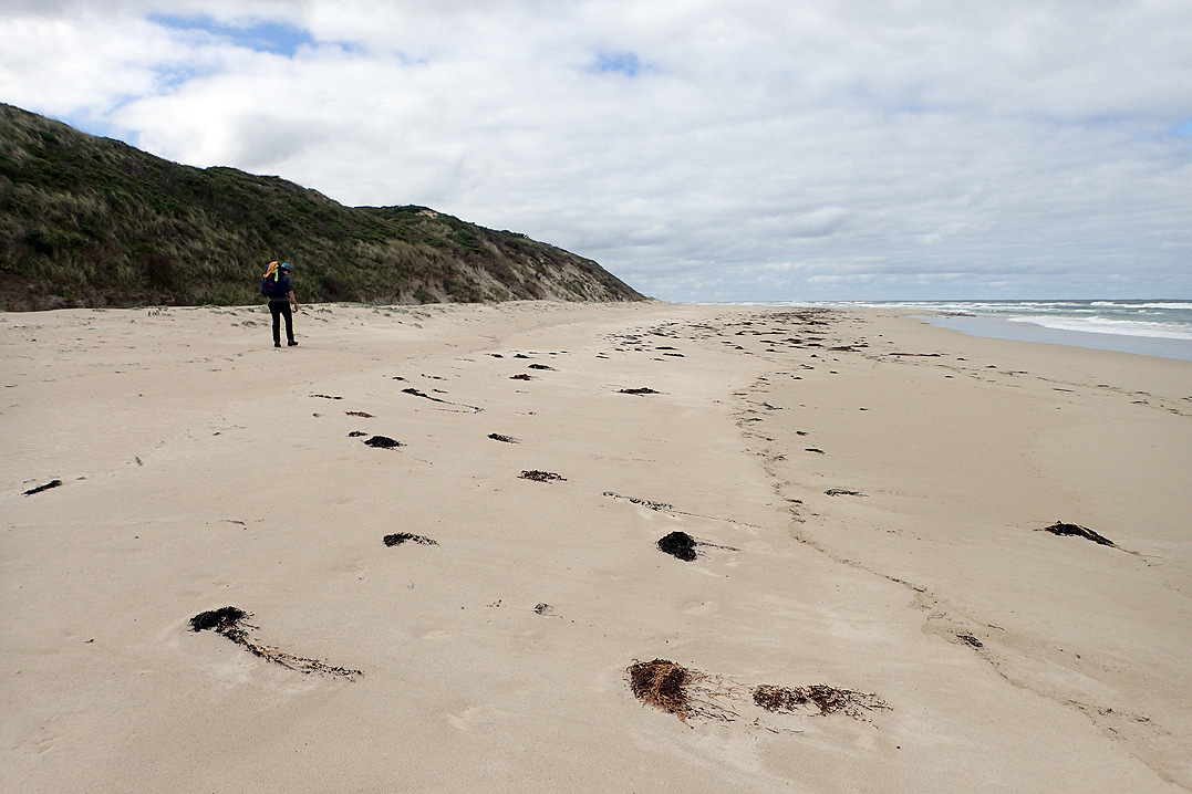
We continued to be lucky with the weather. We had blue skies, this beautiful trail and the pristine beaches all to ourselves. No one else around. It wasn’t even windy. Then to top it all, we found paper nautilus shells in perfect condition that had been washed up at intervals along the beach. It was an amazing day.
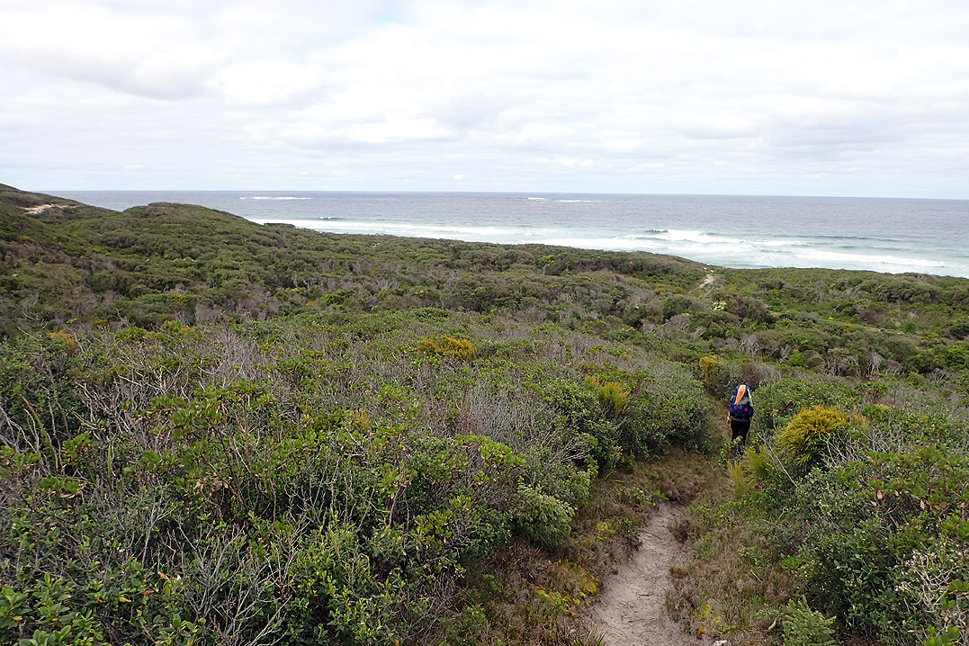
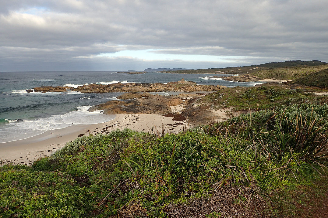
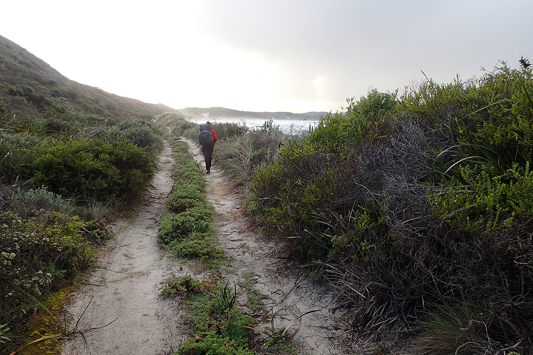
The trail did not remain at the coast, but came back through the dunes once again, always though views of the sea abounded.
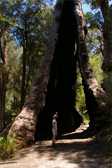
We had our first sightings of the famous Tingle Trees of Walpole at the end of the day, after climbing up Mount Clare to camp at the hut.


It was a short 10km walk into Walpole and passed through Tingle forest and passed good view points. The last bit was over a boardwalk and after crossing the river you emerge into the picnic areas that run along the main street. We were very impressed with Walpole. We probably liked it more than any other track town. It had a good feel about it and when walking through the suburbs the houses were all really neat and well presented. There does not seem to be much new development which the bigger towns had and was not always well done. We had run low on supplies from Northcliffe-Walpole and had started to fantasize about all we would buy and eat when we got there! The supermarket was brilliant and we did indeed buy a lot of food and eat a lot of food! We sat in the sun at the visitor’s centre at a table and benches and stayed about three hours. Whenever we are sitting in the sun long enough we would whip out the solar panel and charge the phone, camera and the Kindles. We also looked at the route to come and worked out how much longer we had to go. We had already revised our trip length from 49 to 46 days. Now we realised we would complete it in 43 days (including one rest day). We decided to book our flights home from Albany to Perth and after that we realised it was all locked in and there wasn’t long to go.
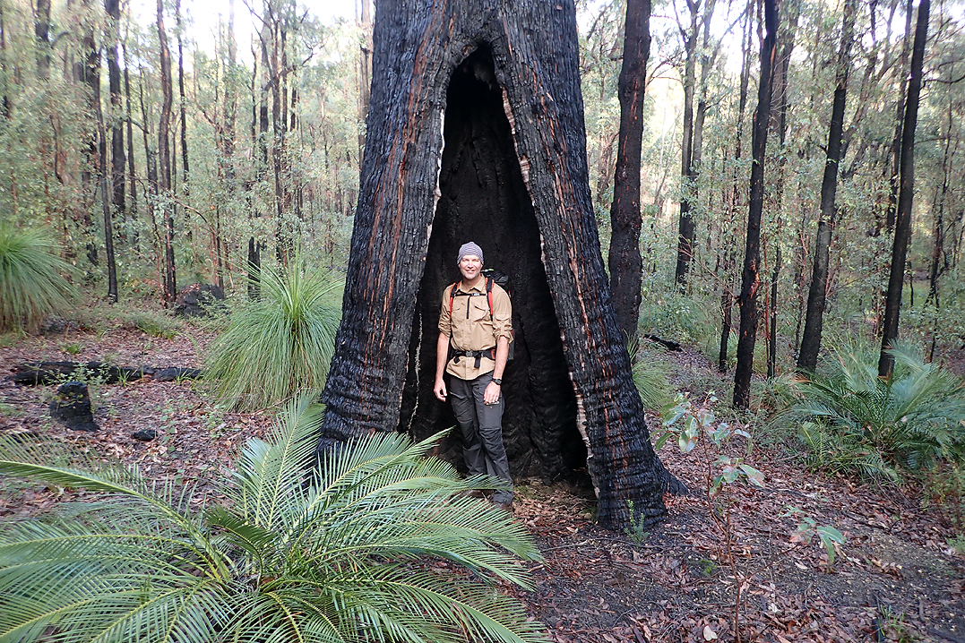
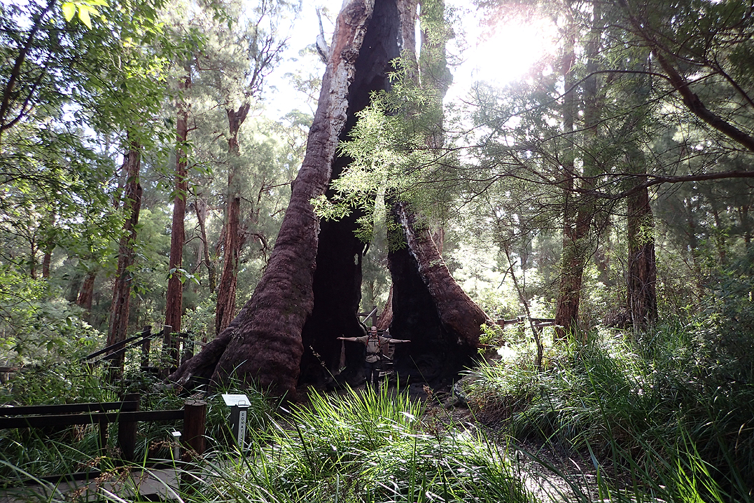
Leaving Walpole was just as good as arriving. Passing the inlet we spied an outdoor shower at the toilet block by the beach. Winner! We jumped into our swimmers and had a bonus cold shower. We had a bit of an uphill walk to get to the point where we would descend to the Frankland River. It was lovely being amongst the giant Tingle trees. These trees only grow around Walpole. They survive fire by allowing their insides to burn out and the tree still lives on the outside. For this reason you see many hollow trees but they are flourishing.
It was getting quite late and we wanted to make the hut by 17:00. Going downhill my foot slipped on a wet log and I fell flat with my legs straight in front of me. It was very painful around my left knee. So just like that my bad knee became my good knee and I had to transfer my knee brace from the right to the left knee. I guess this is what middle age feels like.
We arrived at the hut and there was a person inside it. It was Brendan of the amusing logbook comments! At the top of the stairs I saw this bloke sitting there and my instinct was to say "Hi Brendan" but at the last moment I thought he would think that that was weird. So instead I blurted "Who are you?" which, let’s face it, is actually much weirder. Anyway, he said "Brendan" and we sort of got over the awkward moment. It was great to meet him and chat about his track experiences.

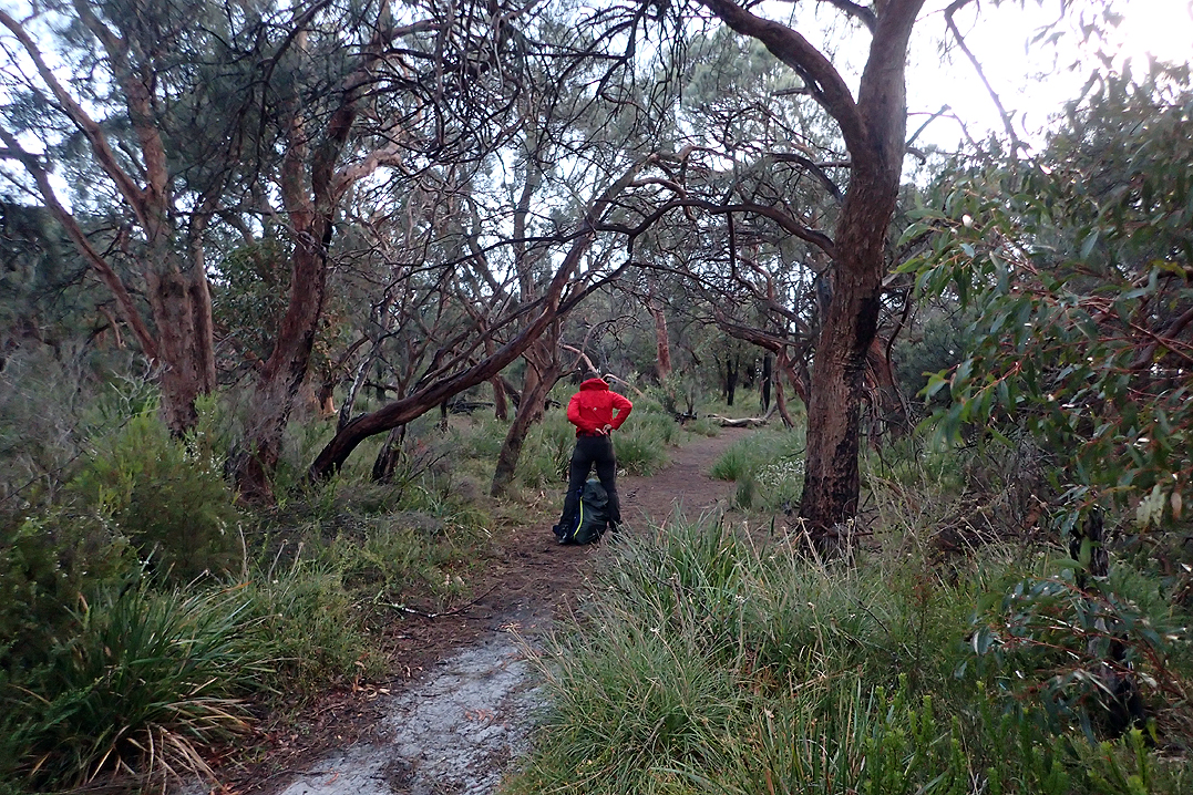
This part of the walk is back in the trees, and to be truthful we had had enough of that. We were keen to get back to the coast. We lunched at Giant’s Hut and then kept going really to a point where we were on the sandy coastal plain again. We pushed the weather as far as we could and got the tent up just as the rain came in.
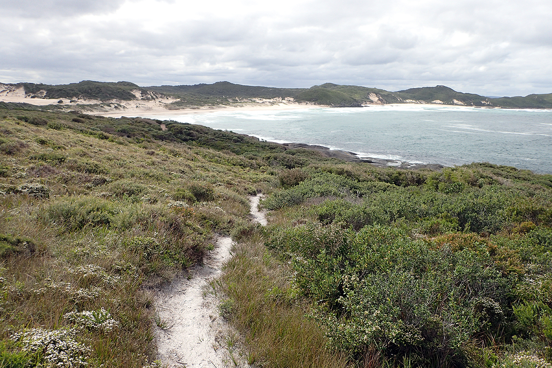
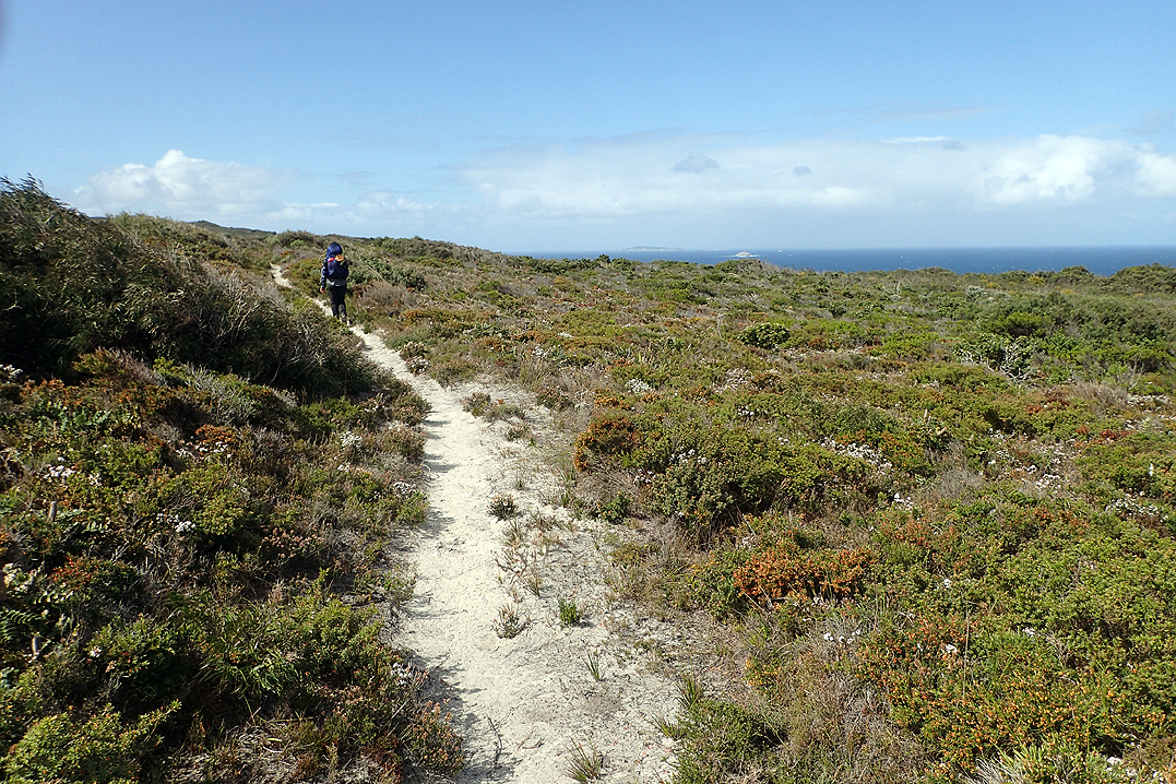
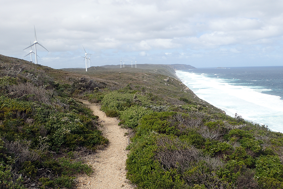
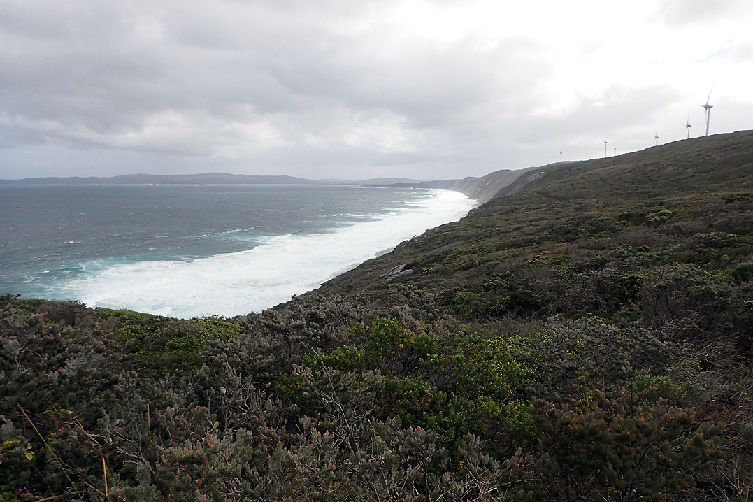
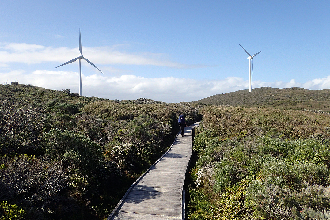
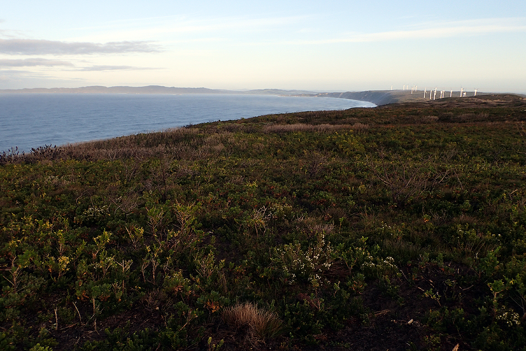
Good weather again for our walk on to the sandy beaches. Every part of the trail takes you through different flora and the wildflowers come and go, always something different. The coastal views were beautiful and there was no one else around. We got our first glimpse of the Denmark wind turbines along the headland. We had another food parcel waiting for us at Peaceful Bay Caravan Park.
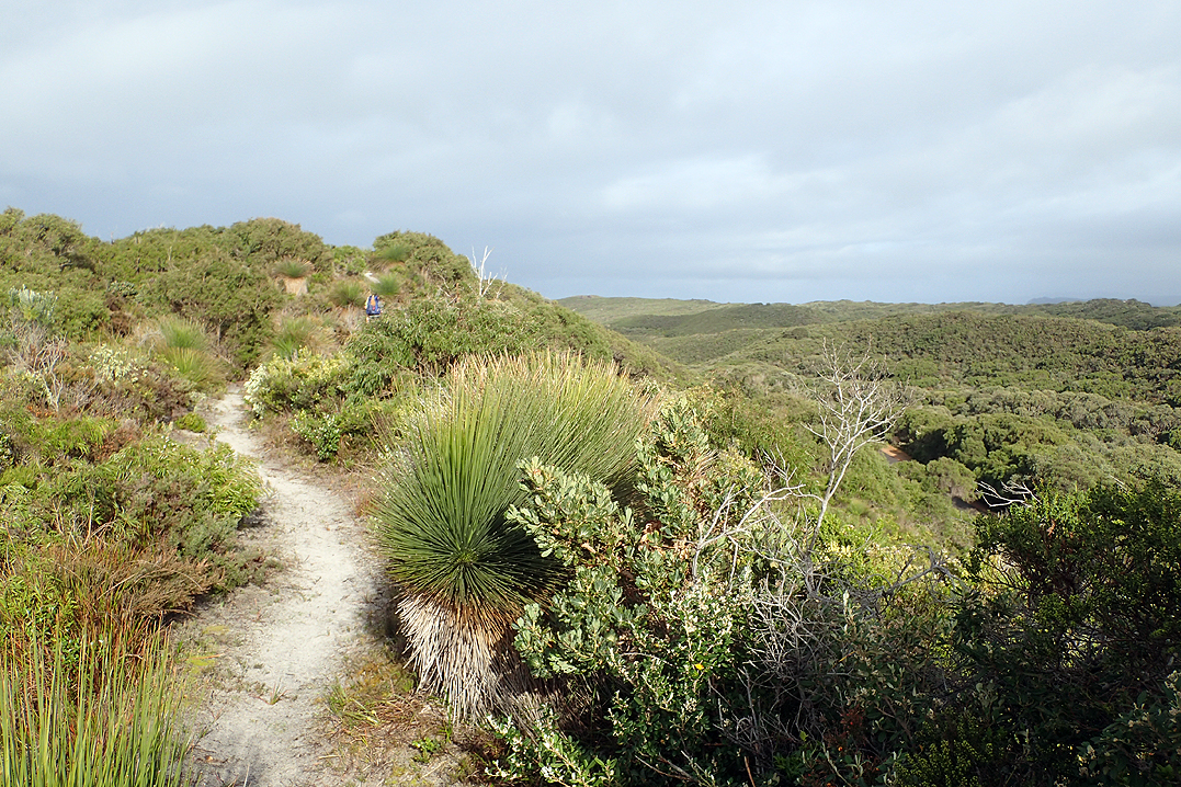
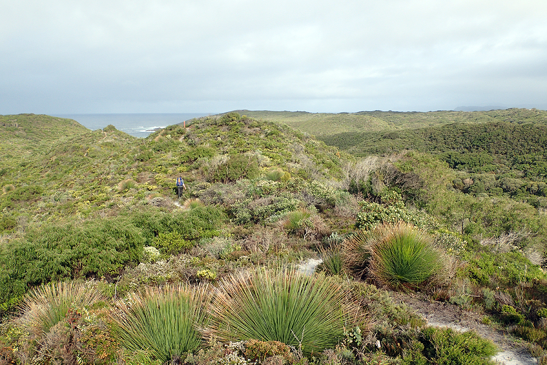
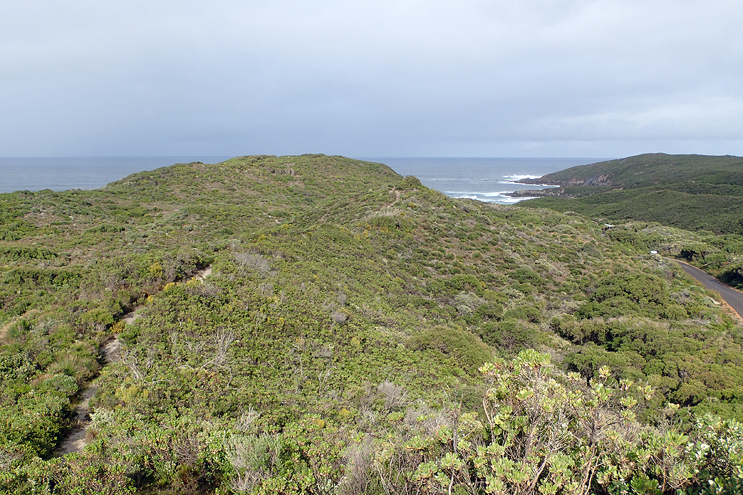
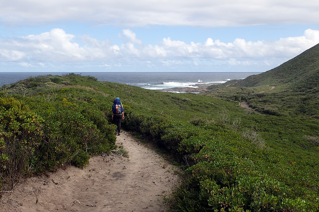
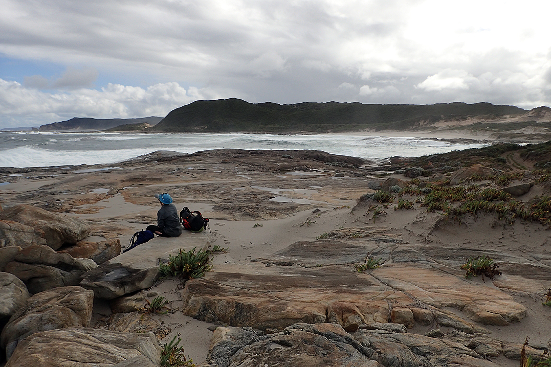
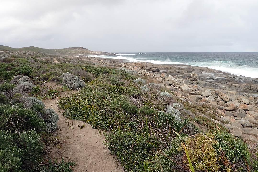
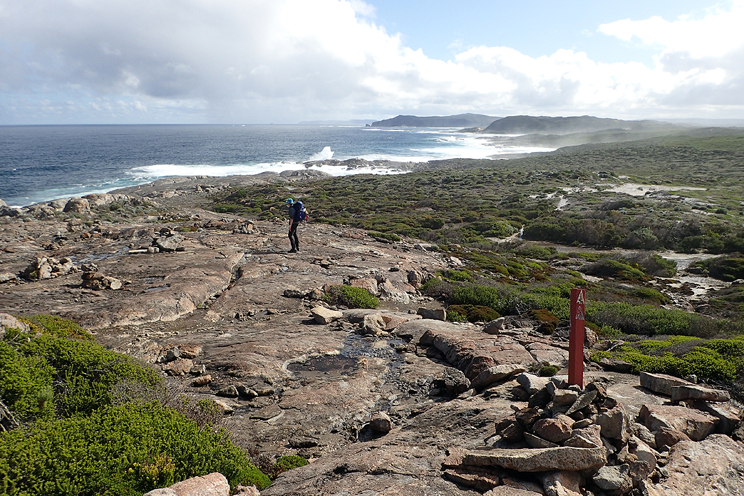

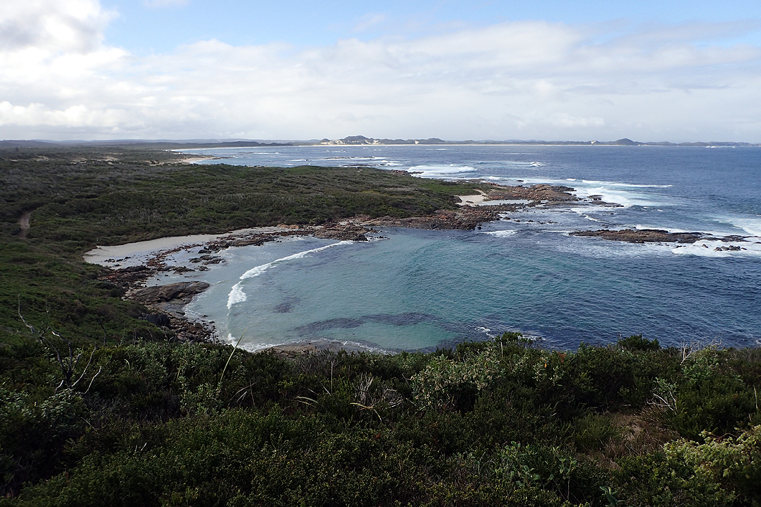
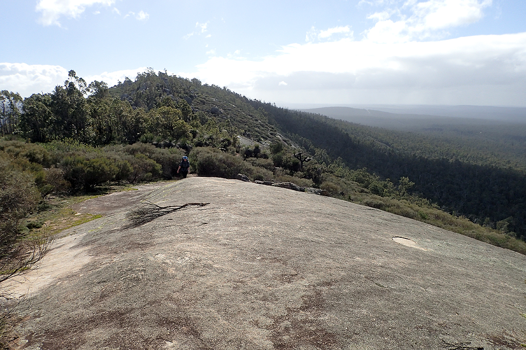
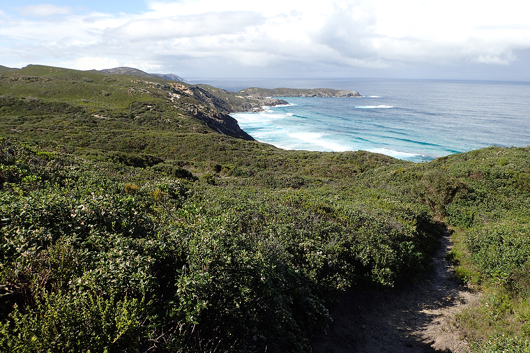
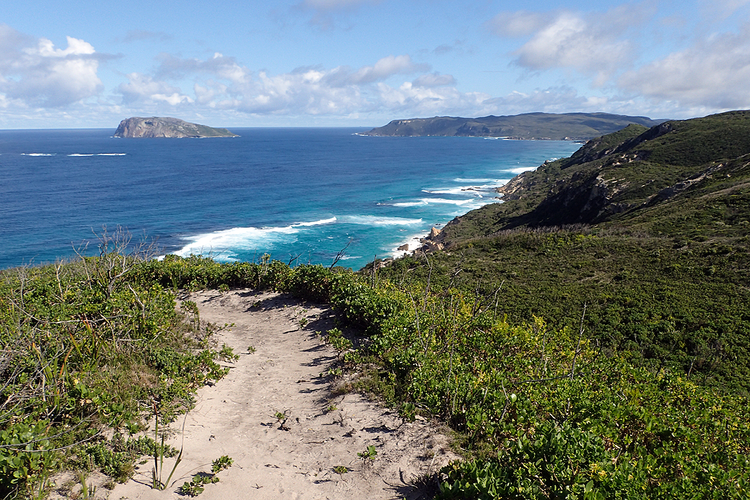
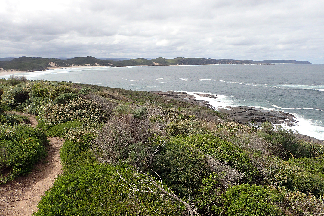
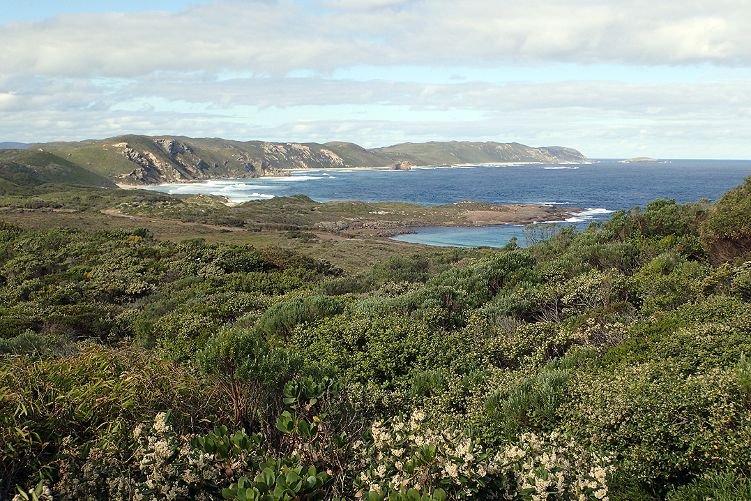
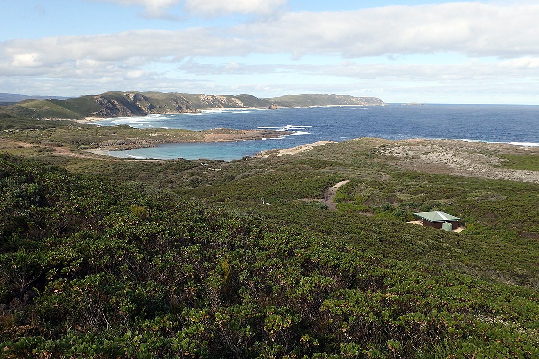
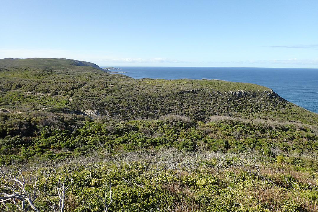
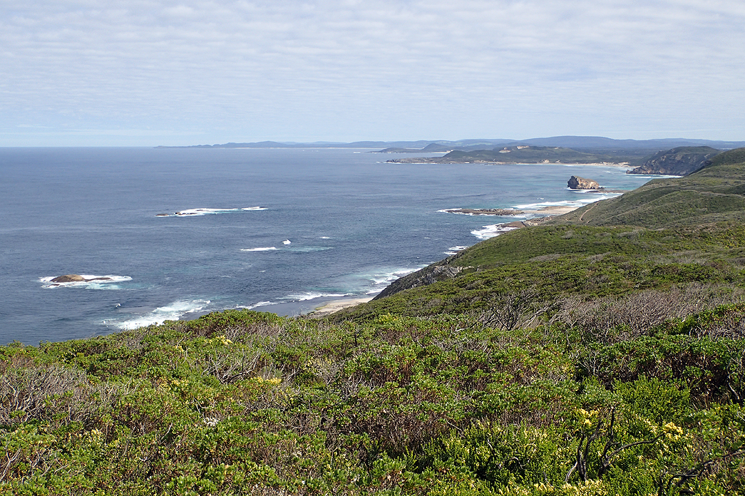
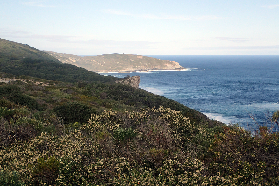
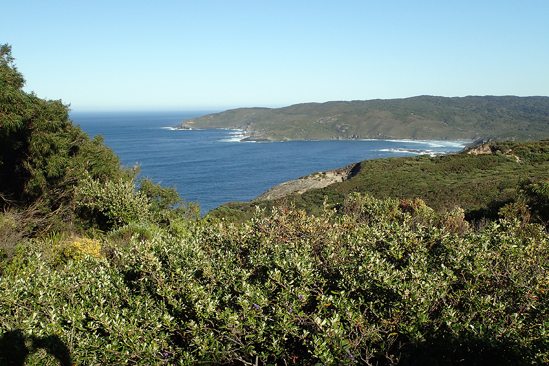
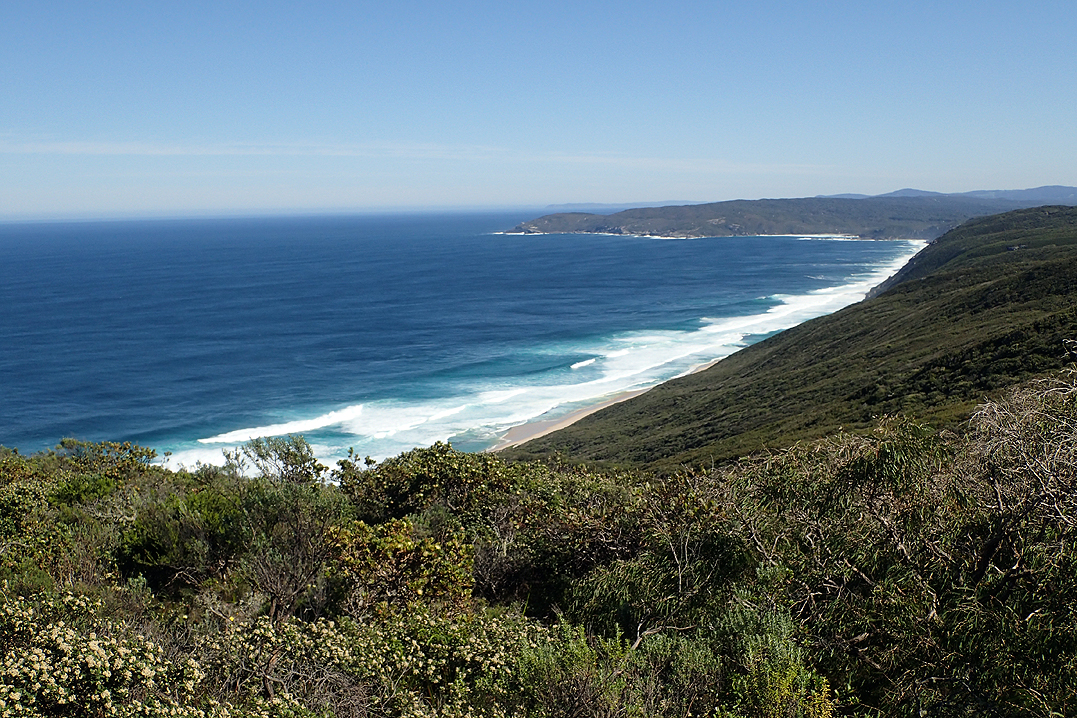
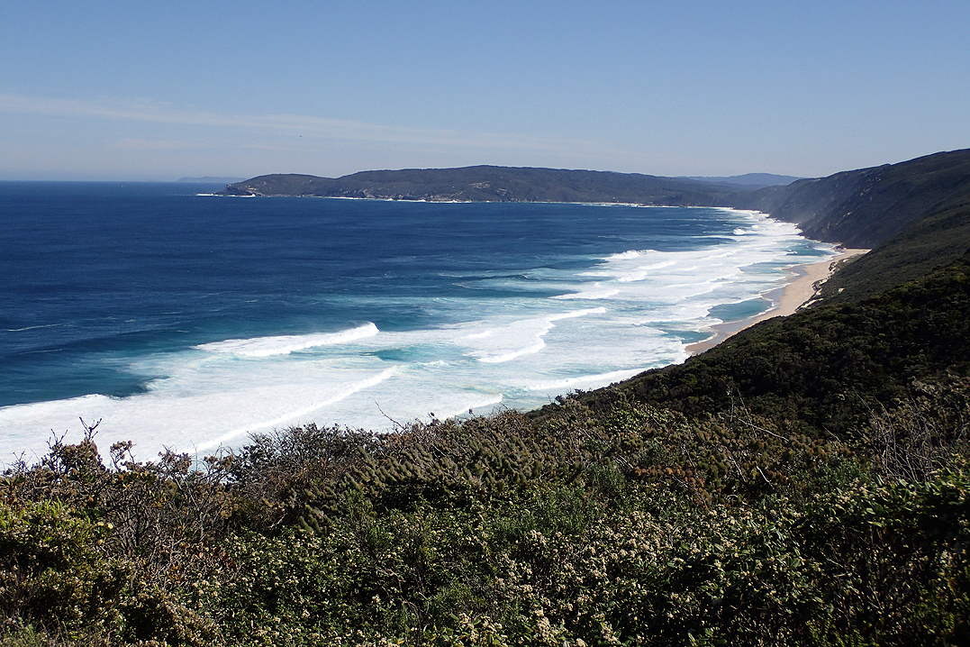
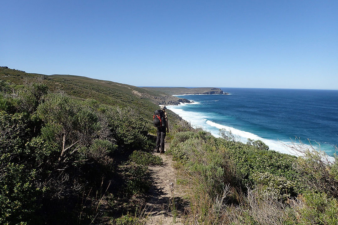
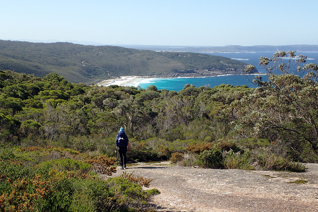
It’s expedient to say that this walk along the south coast is the jewel in the crown of the Bib so I don’t keep having to remark on the beautiful scenery. We were very lucky with the weather, clear skies and no wind. Who would believe that? South Coast of WA at the end of winter? The walk is often right along the headland and the views down to the beaches below are gratifying. Maybe not so for the hiker we met along the way who’s comment "absolutely bloody buggered" aptly described what most hikers go through at some point!
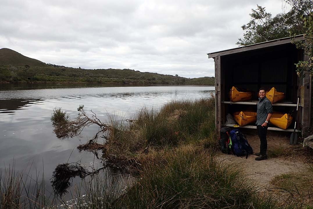
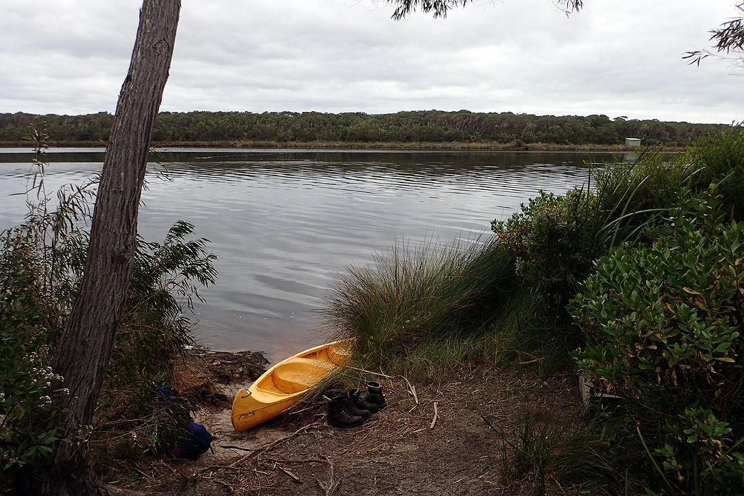
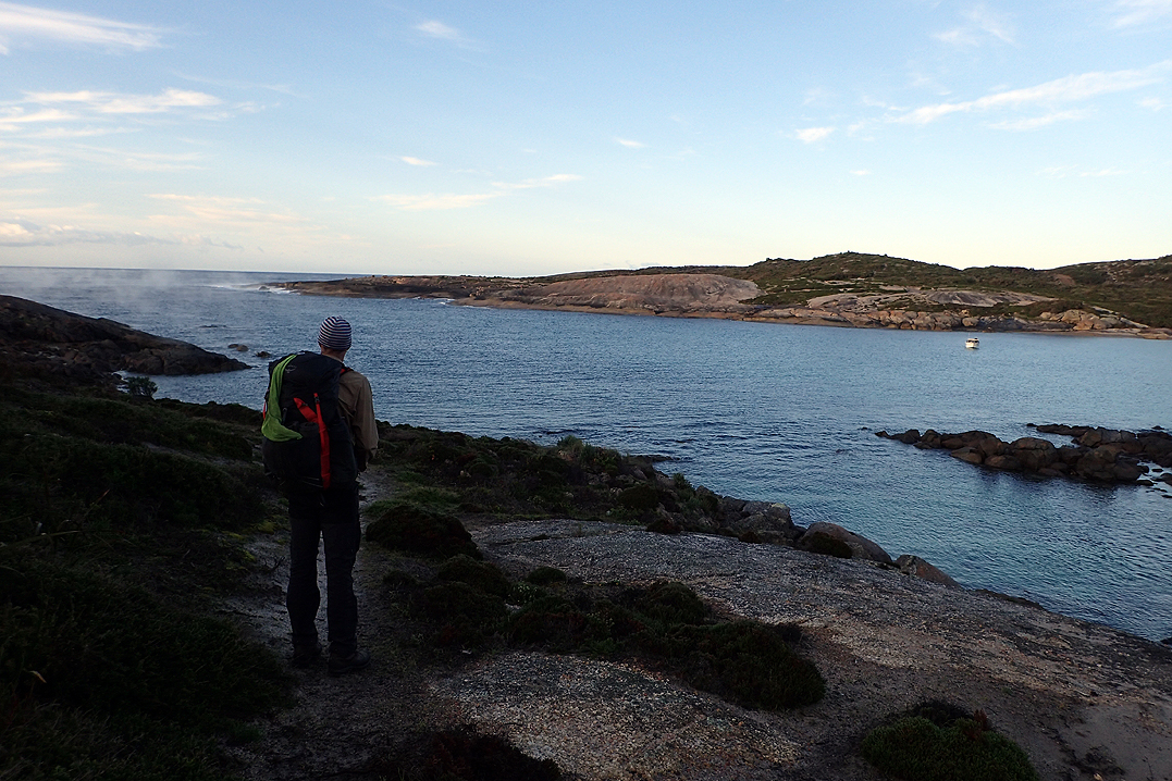
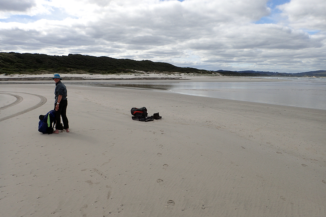
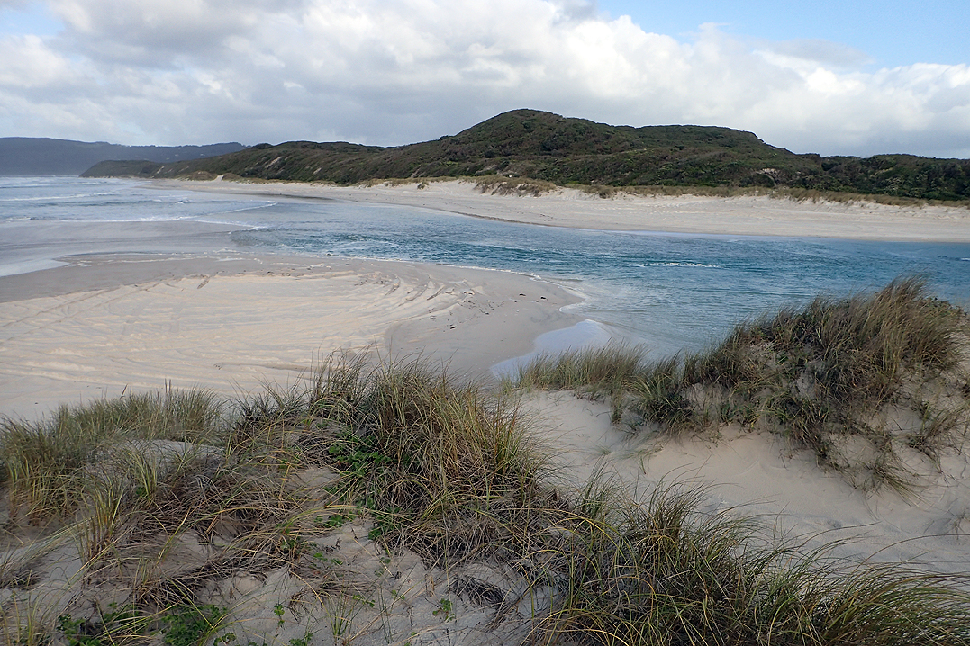
The day’s adventure was to cross the Irwin Inlet by canoe which was easy. I was tempted to canoe all the way to Albany.
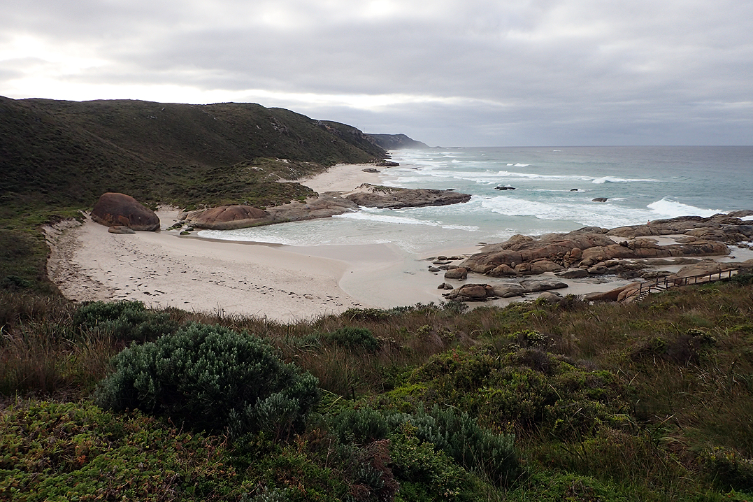
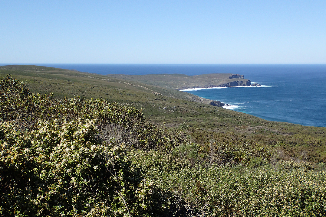
The walk had steep climbs up and down over grassed dunes and there were many skippies as we walked through a nature reserve. We came across Kane who we had met before Northcliffe and who was in the proceeds of hiking back from Albany to get to Donnelly River Village and complete his E2E. Boat Harbour Hut was a favourite and we saw whales in the bay there.


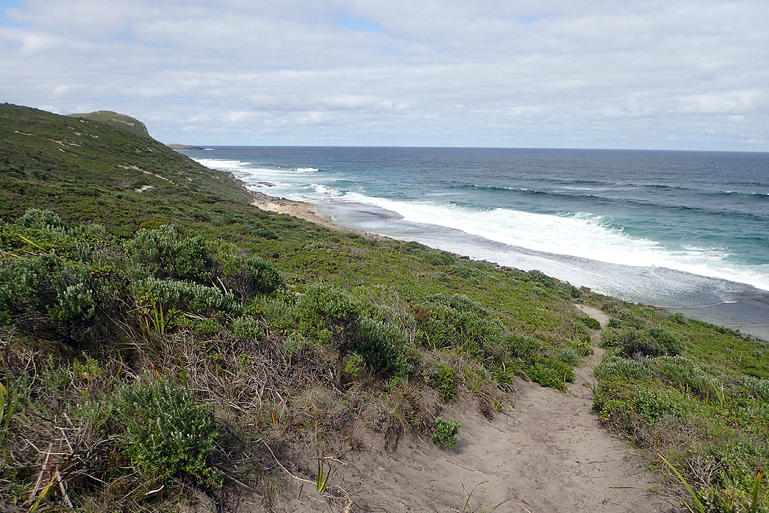
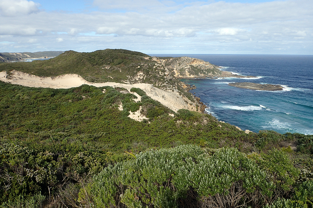
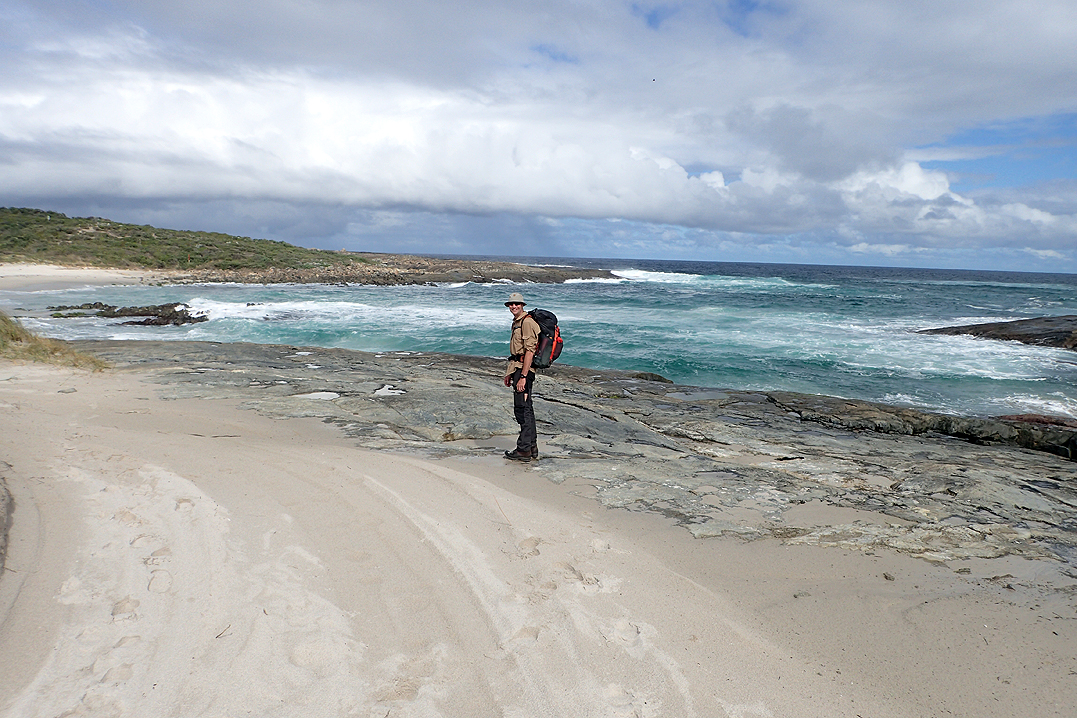
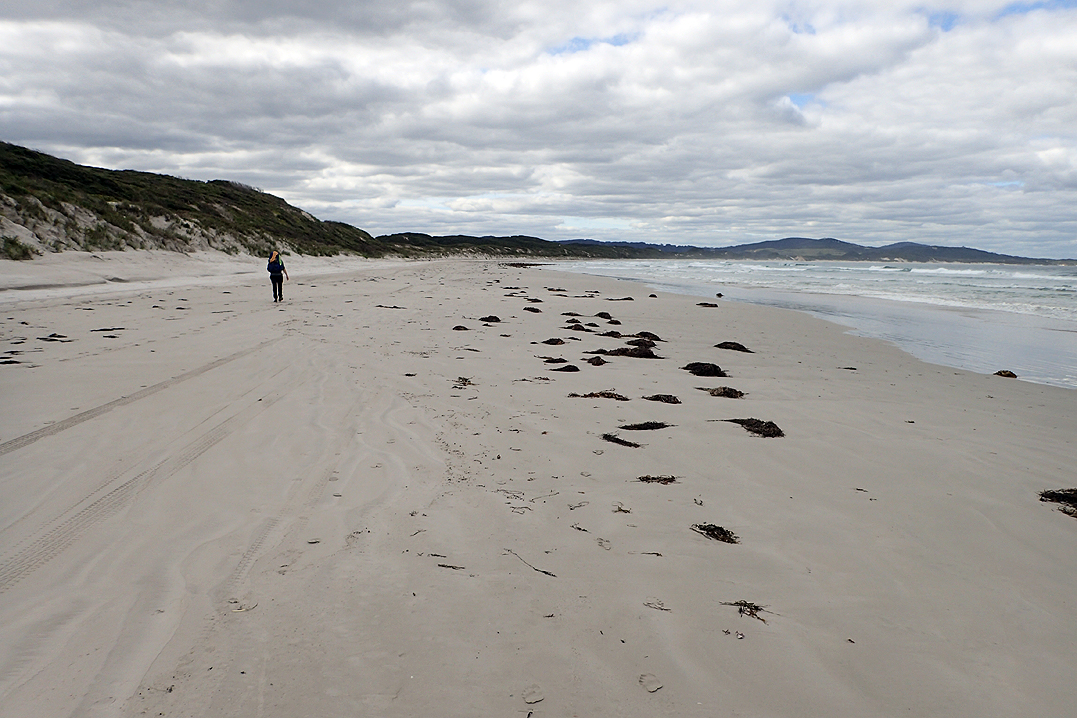
The trail wound backwards and forwards from coast to coastal plain. By lunchtime we had reached Parry Beach where there is a campsite. We walked along the beach for about 1km before crossing the inlet. These inlet crossings are always fiercely reported on in the log books. The descriptions will vary from waist deep to knee deep to head height. The water was flowing pretty strongly from the inlet into the sea but it was only just above knee height and about 10m across. After this crossing the beach sand turned very soft and walking was difficult all the way along Mazzoletti Beach for a further 7km. The sights and sound of the roaring waves made it enjoyable all the same.
You leave the beach with the help of a rope that allows you to scale the vertical sand dune! William Bay Hut was another wonderful hut with great ocean views from a massive, flat-topped boulder. We were tempted to pitch our tent on it! We sat up there and watched the sunset and the sunrise the next day. It is a great spot. My mattress has been deflating overnight. We found another small hole next to the first and patched it.


We woke extra early to get up onto the rock and cook brekky and have tea etc. By this stage of the trip we would get up, stick our feet into our boots and sort of stagger about for probably 15 min before our feet had any chance at articulation. This is important if you are going to clamber up onto a rock in the dark and not meet with calamity. Even the roughly 400-500mm raised platform inside the huts were almost impossible to step up and down. If I got up on it I would have to climb off backwards, like a toddler. We finish the way we started!
It was really worthwhile to watch the sunrise from the boulder and then we got on with our day. Our first break was at Light’s Beach where we chatted to a fisherman. The route here goes along sealed tracks for a way. We still could not believe our luck with the weather!
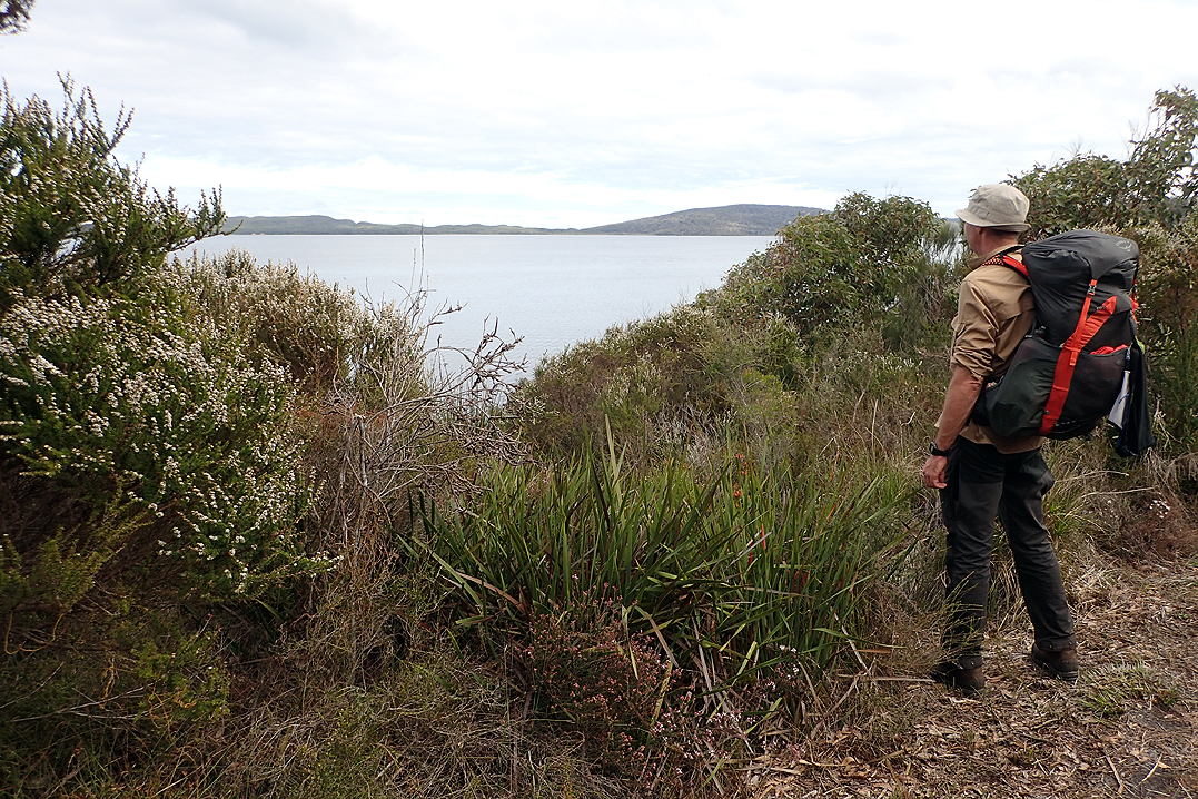
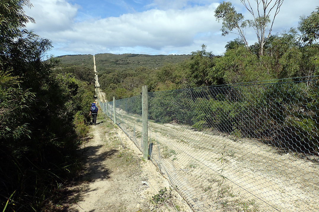
Then we had the relatively pointless climb up Mount Hallowell which went on forever and had almost no view from the top. You could see part of the Wilson Inlet opening. The sandbar which makes the inlet crossable on foot for much of the year had been breached a couple of weeks earlier. Walking the sandbar is not the official track but allows you to get to Nullaki Peninsula without breaking the trail. When the Bib was first planned there was supposed to be a boat that would take you across, but this no longer operates. Most hikers you meet (wait for it) GET IN A TAXI and get driven around the inlet. Some even (wait for it) arrange for accomodation in Denmark and the place they stay at drives them almost RIGHT up to the Nullaki Hut. I know what you are thinking, "If you are already walking nearly 1000km what is a few kilometers more?". We do not understand either.
The day before we had decided that in order to respect the integrity of the undertaking we would walk around the Wilson Inlet. This would add on about 30km and one day’s walk, but we had allowed for it. So we had a job to do and this traipsing up and over a hill for no real value was a bit frustrating.
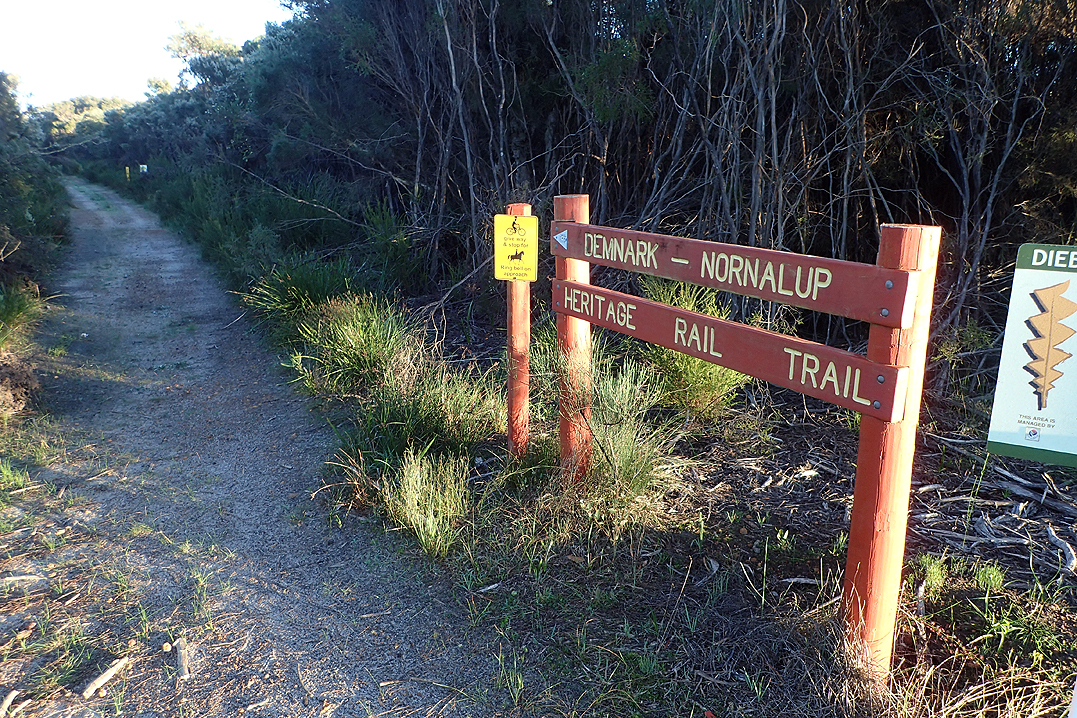
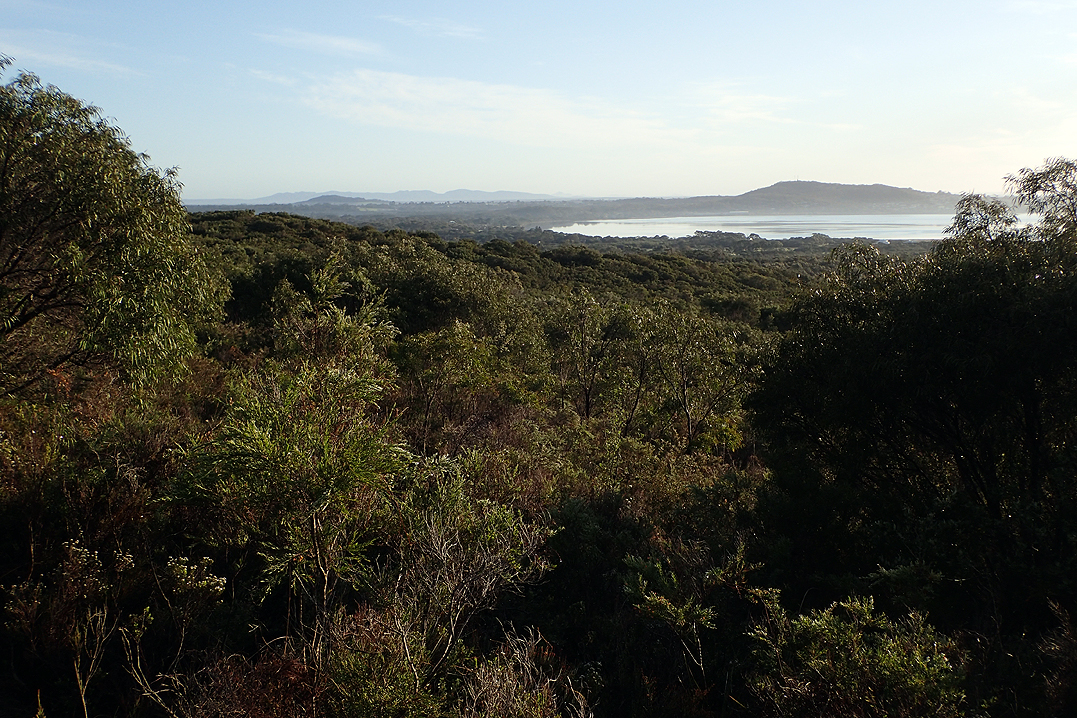
Shortly after the descent we found ourselves in the suburbs of Denmark and then reached the Denmark Nornalup Heritage Trail (the track went along this a couple of days ago also). This was a VERY flat walk for 10.7km. There were a few shelters along the way for day walkers to use. It was a lovely experience which required almost no effort beyond putting one foot in front of the other. It ends at Hay River where we swam and pitched the tent. In all our travels in Lapland we have never encountered such determined mosquitoes. Sitting in the tent the air seemed to vibrate with them. I opened my tent door about 10cm to get some water and about 15 flew in in 10 seconds! Then Mike took his watch off and a cunning tick hand had crawled under his watch strap and had a lovely feed all day and was as fat and swollen as, well as a tick.
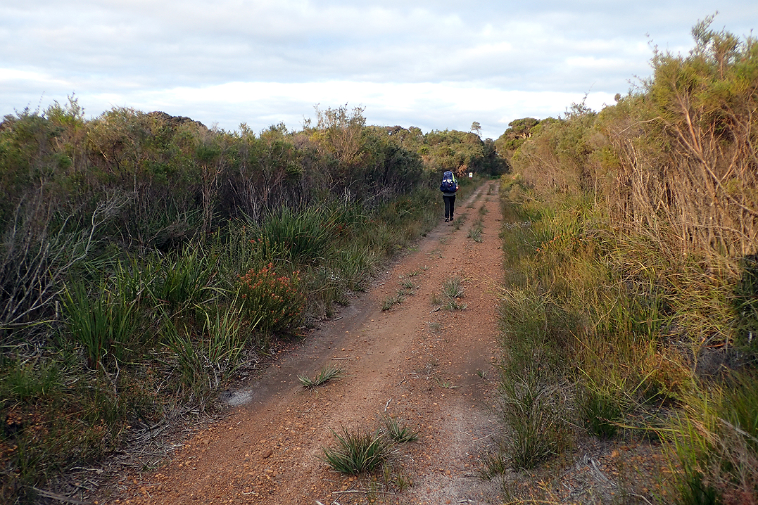
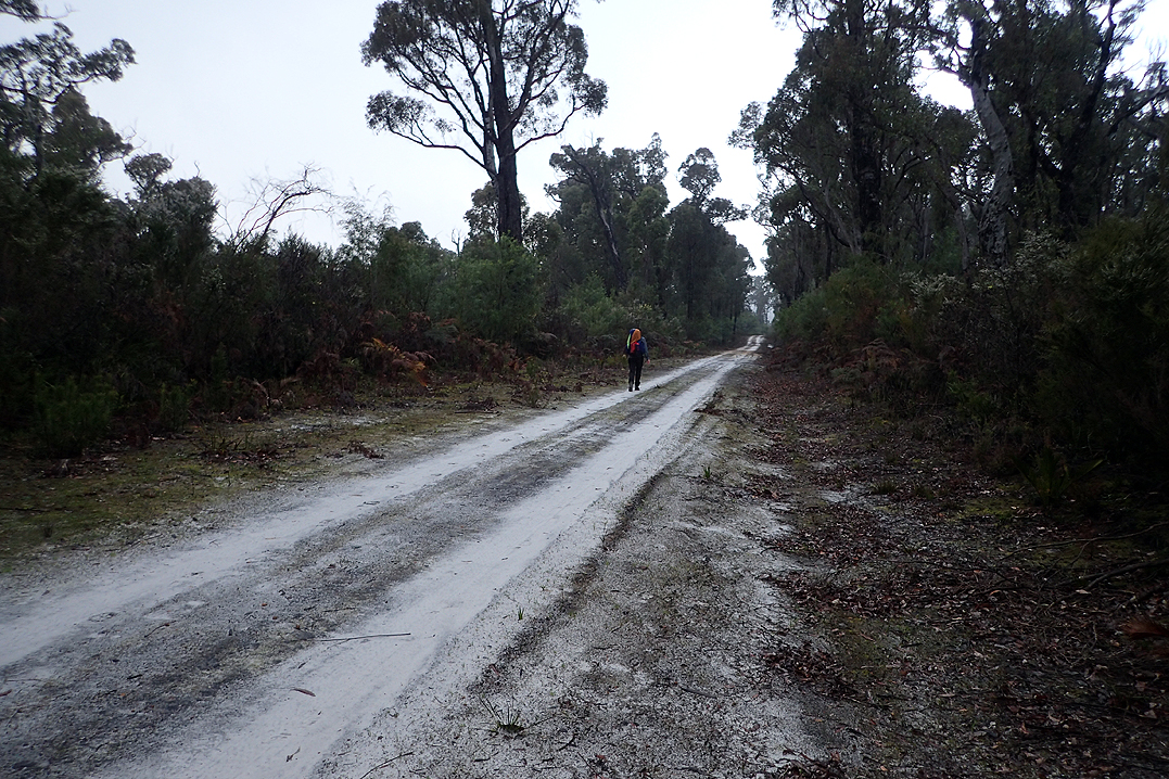
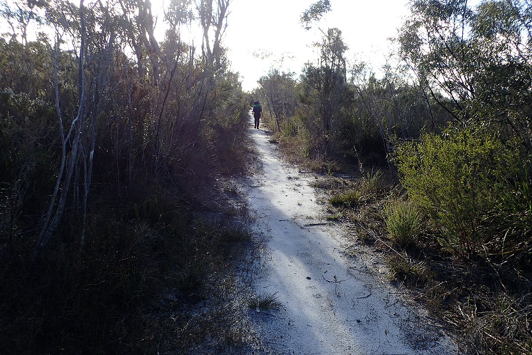
We walked 5.3km along the South Coast Highway, 1.7km along the Munda Biddi and 7.8km along Eden Rd. We then rejoined the trail and it was 2.5km further to Nullaki Hut. The walking was easy, even along the highway as there was a wide shoulder. Along Eden Rd you pass through farmland which is interesting. We presume some hikers do this walk but many avoid it as it seems it is the last option recommended. We think that the Bibb Foundation should make this an official part of the trail. When you consider the trail in its entirety there must have been many areas where plans would have had to be made to get around some sort of diversion. It does not seem that it would be too difficult to create a trail path along that stretch of highway. We find it strange that the "purists" will complain about walking a short distance along a road but have no problem climbing in a car.
After Nullaki the day warmed up and got quite hot. We realised that we needed to carry more water than we had been as other than the tank water from huts there are no other water sources along the coastal area.
That night we camped next to a four wheel drive track. My mattress started deflating overnight again. Mike’s mattress had developed a problem where the baffles disconnected and so massive domes formed. There was also another hole in his mattress where this had occurred. These mattresses were "absolutely bloody buggered".
Another warm day, but those coastal views, the colour of the sea… just amazing! When we got to the hut Mike got out our Gear Aid glue and patches and made very sound repairs where we had patched the mattresses. No further air would escape! We had to wait a number of hours for the glue to set and it was getting dark when Brendan arrived! So good to see him again. We pitched the tent behind the hut and a storm came through that night, complete with thunder and lightning. My mattress still lost air overnight.
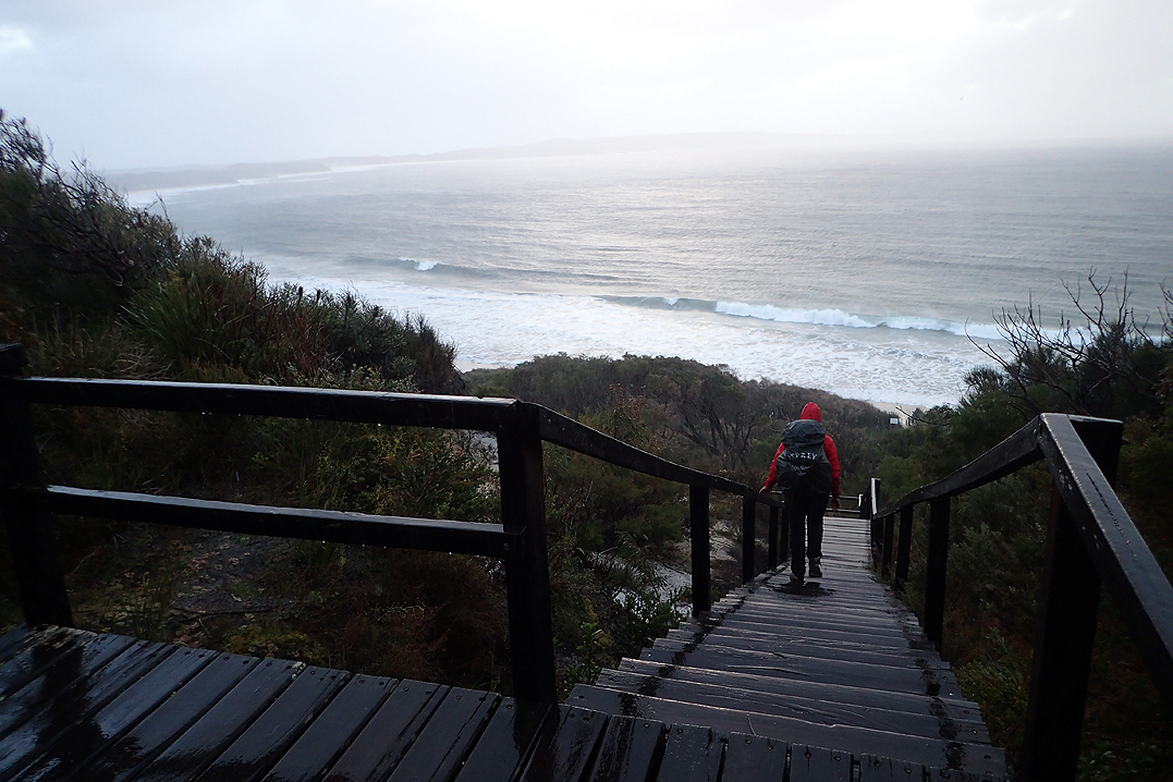
Even though we only had a day and a half left on the trail, there was still something to worry about - the Torbay Inlet crossing which we had been warned about by a number of Northbound hikers recently. It was waist deep or chest deep and you had to cross 50 m upstream holding your pack over your head. We had checked the tide timetable and unfortunately for us high tide was due at 9am. Another Southbound E2E’der had written in the logbook that they were going to walk the 20km diversion instead. This is an alternate route published and detailed on a map in the hut. We did not feel optimistic on waking, particularly as it was also now raining. We left at 06:00, skipping breakfast and then made for the inlet to try to get there before high tide, saying goodbye to Brendan as we left. We had no real idea what difference the tide makes on an inlet. You could assume that the higher the better as it slows water coming out, but as far as how deep the channel was etc, no idea. Shortly after Torbay Hut we walked through Cosy Corner camping area which is a wonderful free campsite. All these places have free to use BBQ’s, toilets and even bins (lucky hikers). Everything is pristine and well maintained.
We arrived at the beach into a gale force wind which whipped the incoming tide into a frenzy. There was barely any beach to walk on. Luckily we could climb up onto a vehicle track. As we approached the inlet we readied ourselves. We had wondered if we might float our packs across, so we had made sure everything was waterproofed and sealed up. Luckily with only one day to go our packs were light and we had little food remaining. We stripped down to our swimmers and decided our best bet was right where the ocean was rushing into the inlet. Mike took a walk in and the water barely reached his knees! Winner! We grabbed our packs, slung them on our backs and easy peasy we were done! Mike made a double fist pump! What a beat up! All that stress. We were so happy, we dressed right away in the dunes and sat down for brekky. We felt we could now enjoy the rest of the walk.
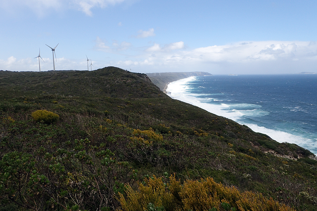
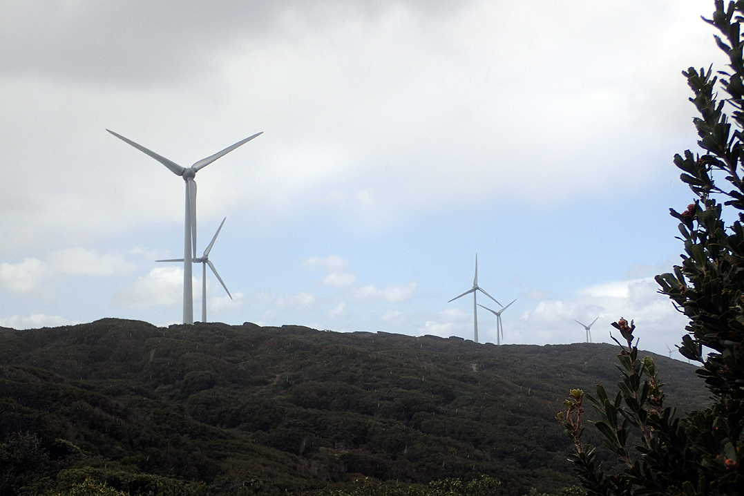
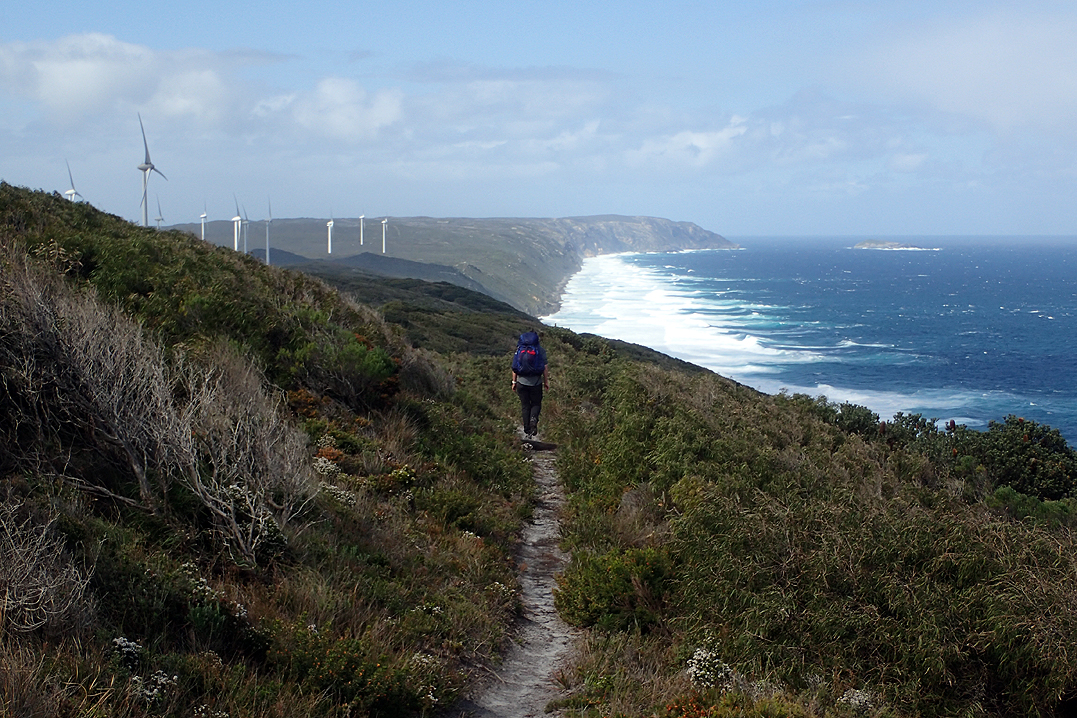
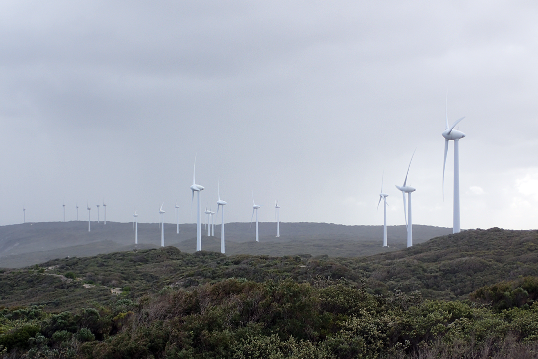
We stopped again at Muttonbird Hut for a snack after this we could see the 18 wind turbines that help power Albany. The walk was again all coastal views but a little different today with strong winds and rain storms rushing in from the ocean to dump water on us.
When we arrived at our final hut, who should we see there, but Kayla and Jake! They had decided to spend a bit more time on the trail. It was good to see them again. We enjoyed our final track meal of a Biscoff or Nutella Wrap and then went to bed. We struggled to sleep which could have been excitement or also my flat mattress.
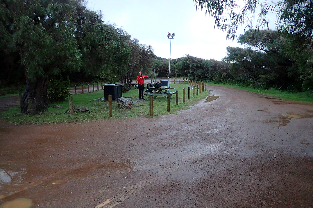

Distance = 983.1 km) The walk into Albany was quick and pleasant. Apart from the IGA where we bought the usual fresh cheese, tomato and bread roll nothing else was open. Not even the visitor centre! It was a glorious weather day though and we eventually wandered up to our campsite where we lay down on the grass.
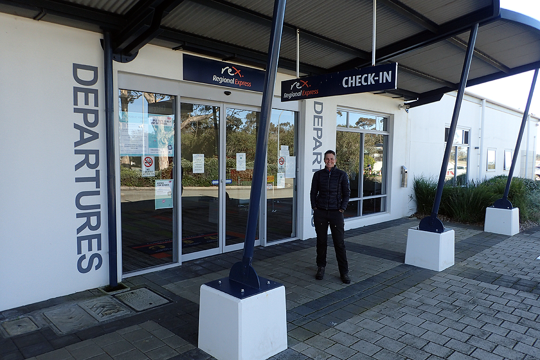
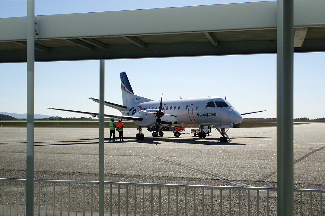
After another restless night we called a taxi to take us to the airport. I think my mind did go briefly down the "Should we walk?" path but I shut that down! Nice to have only a 60min flight home and then a bus trip from the airport. No jet lag!
Accommodation surprise: The number of people who stay (or rather don’t stay in tents). We never came across one other End-to-Ender who used a tent by choice, which likely means that if the huts weren’t provided, nobody would walk the trail!
Dunny surprise: It never entered our minds that toilet paper would be provided in the dunnys. However, almost every hut between Kalamunda and Mt Chance was fully stocked, but thereafter not a square to be found. Obviously the northern half has a budget that extends to toilet paper.
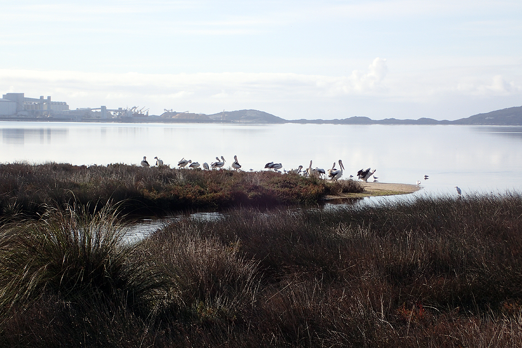
Significant animals/birds spotted: Red and white tailed Cockatoos who seemed to love following us while screeching, Splendid Fairy-wren of which we only saw two, red-winged fairy-wren which we termed "Lumo-Head", emu, some wild cat, whales, dolphins, wild black pig, bobtails, various snakes, and of course kangaroos and wallabies.
Special sightings: Seeing many Paper Nautilus Shells on Mandalay and Conspicuous Beaches, which we later found out was an extremely unusual event.
Trail menu: Our menu pretty much consisted of the following for the ENTIRE trip, and believe it or not, we never really got tired of it: Oats for breakfast, wraps with either Biscoff or Nutella for lunch, and dehydrated potato with cup-a-soup for supper; we didn’t win the gourmet prize. Interestingly, we didn’t crave any special melas when passing through the track towns.
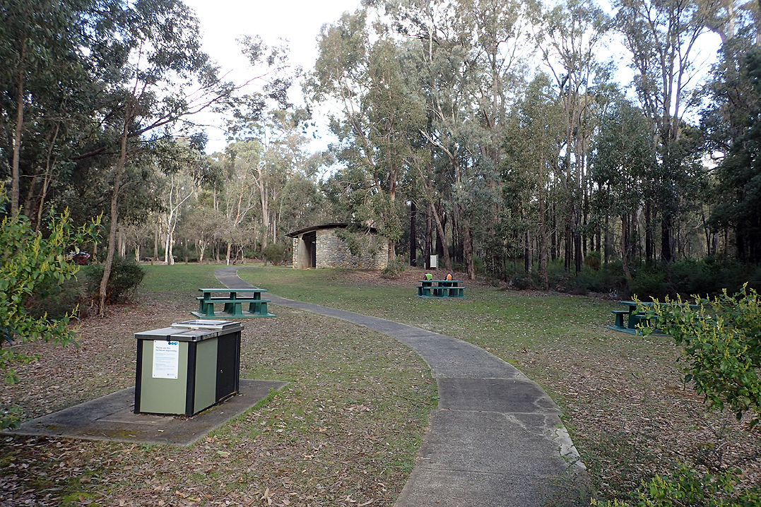
Best track town: Walpole with its great entry and exit, and vast picnic area with well stocked supermarket over the road. That said, the best facilities were provided in Dwellingup where brand new (and free) showers and toilets (and possibly laundry in the future) were provided at the trail head.
Favourite hut: Boat Harbour, due to its surrounds and aspect.
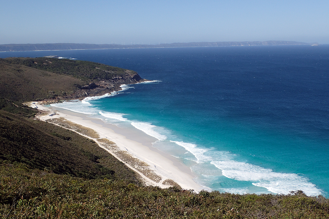
Favourite sections: Arriving at Mandalay Beach and walking along the coast towards Lost Beach, and then walking from Conspicuous Beach to Lights Beach; the coastal scenery was really breathtaking!
Least enjoyable sections: Between Gardner Hut (just after Northcliffe) and Woolbales Hut. The Pingerup Plains just had too many wading sections and the beautiful scenery couldn’t make up for it!
Biggest beat up: The crossing of the Torbay Inlet where all recent reports were warning of chest deep water, and packs having to be carried over one’s head. We got there at exactly extreme high tide, with a gale force south westerly, and the water was just knee deep!
Biggest relief: Getting to Torbay Inlet crossing and finding it only knee deep.
Suggested trail improvement: With no available boat service crossing the Wilson Inlet, it’s a shame that many hikers feel obligated to catch a taxi from Denmark to Nullaki when the walk around the inlet is easy and quite pleasant. The 10.7 km long Heritage Trail on the northern side of the inlet is perfect for walking, the 1.7 km long section of the Munda Biddi Trail already exists between Sleeman Road and Eden Road, and Eden Road is very quiet and has views of the farmlands. That just leaves 5.3 km along the South Coast Highway which shouldn’t need much work as the road verges are wide. To make it safer however, pedestrian bridges would likely be required over the Hay and Sleeman Rivers as the road bridges have only narrow shoulders. The hiking purists would likely frown at having to walk along the roads, but then at the same time have no problem interrupting their walk by climbing in a car!?
Some memorable quotes of the trip (some from the log books along the way):
"No Turning Back", one particular hiker’s daily entry in the logbook
"Hey Boyo, Easy on the Biscoff", by Judith while looking at Mike’s heaped spoon
"Absolutely bloody buggered", by unknown hiker we met along the way
Parts of the Bibbulmun Track walked prior to 2020
Up at 4h30 and on the road by 5h00 allowed us to drive to Northcliffe, park the car, and have enough time to catch the TransWA bus back to Pemberton. Doing it this way allowed us to start hiking from Pemberton at 11h30 and the bonus was that we had the car waiting for us at the end of the hike so that we could try and miss the public holiday traffic on the Monday. The TransWA bus trip was only 25 minutes and cost $6.50 each for the ride back to Pemberton. This was great value for money and the service was right on time.
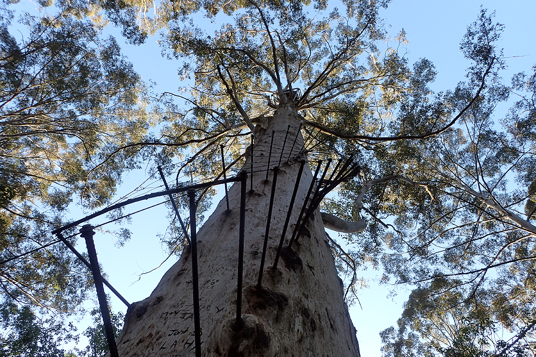
The first 3km of the walk was through Pemberton's side streets and headed in the direction of the Gloucester Tree. The Tree is 60 m high and was used as a fire lookout during its hey-day. Now, it's a tourist attraction where people can climb up the somewhat dodgy rungs and get a view of the surrounding land. We didn't the inclination or the time to carry out this feat, as we had about 17 km still to go to the Warren Hut. You don't get many views walking through the Karri Forest, but the environment is very pleasant. There are also no real hills to speak of. We saw a 1.5 metre long brown snake on the path, but it was in a great hurry to get out of the way, so no harm done. About 1 km before the Warren Hut, we decided to camp just off Collins Road, on the banks of the Warren River. This offered us all the water we needed and we fell asleep listening to water rushing over the ford. The total distance covered for the day was 19.0 km in 4h10 walking time.
We woke early on Day 2 and made our way to Warren Hut where we found out that four people had spent the night. Two of these were end-to-enders. After passing through the hut area, we crossed the River Road Bridge, and then wound our way along the Warren River towards Moons Crossing. Nothing too exciting along this section of the track, but early morning in the Karri forest was beautiful. After a couple of rest stops along the way, and a couple more snake spottings, we arrived at the Schafer Hut in the afternoon and enjoyed a nice relaxing swim in the nearby dam. The water was cool, but ever so refreshing. This would have been an ideal place to spend the night, but with the following day being the last day of the long weekend, we wanted to miss the end of weekend traffic back to Perth so decided to push on. We had planned to spend the night near Lane-Poole Road, but it turned out that water was not going to be easy to find. We pushed on for a further 3 km until we crossed a small stream with water that could be filtered. We pitched the tent in the middle of the track and listened to the amazing birdlife while the sun went down. The total distance covered for the day was 28.0 km in 6h30 walking time.
We were up again early on Day 3 which basically follows farm roads/tracks all the way to Northcliffe. With the flowers out at this time of year, it was a very pleasant walk and the 8 km to town only took 90 minutes. The most surprising thing for us for this, our first experience of the Bibbulmun Track, was the distance that could be covered in a day. The walking is very easy in this area and the quality of the track is exceptional, something which we haven't had in a very long time!